May 23, 2025 Storm Chase
Southeastern Colorado
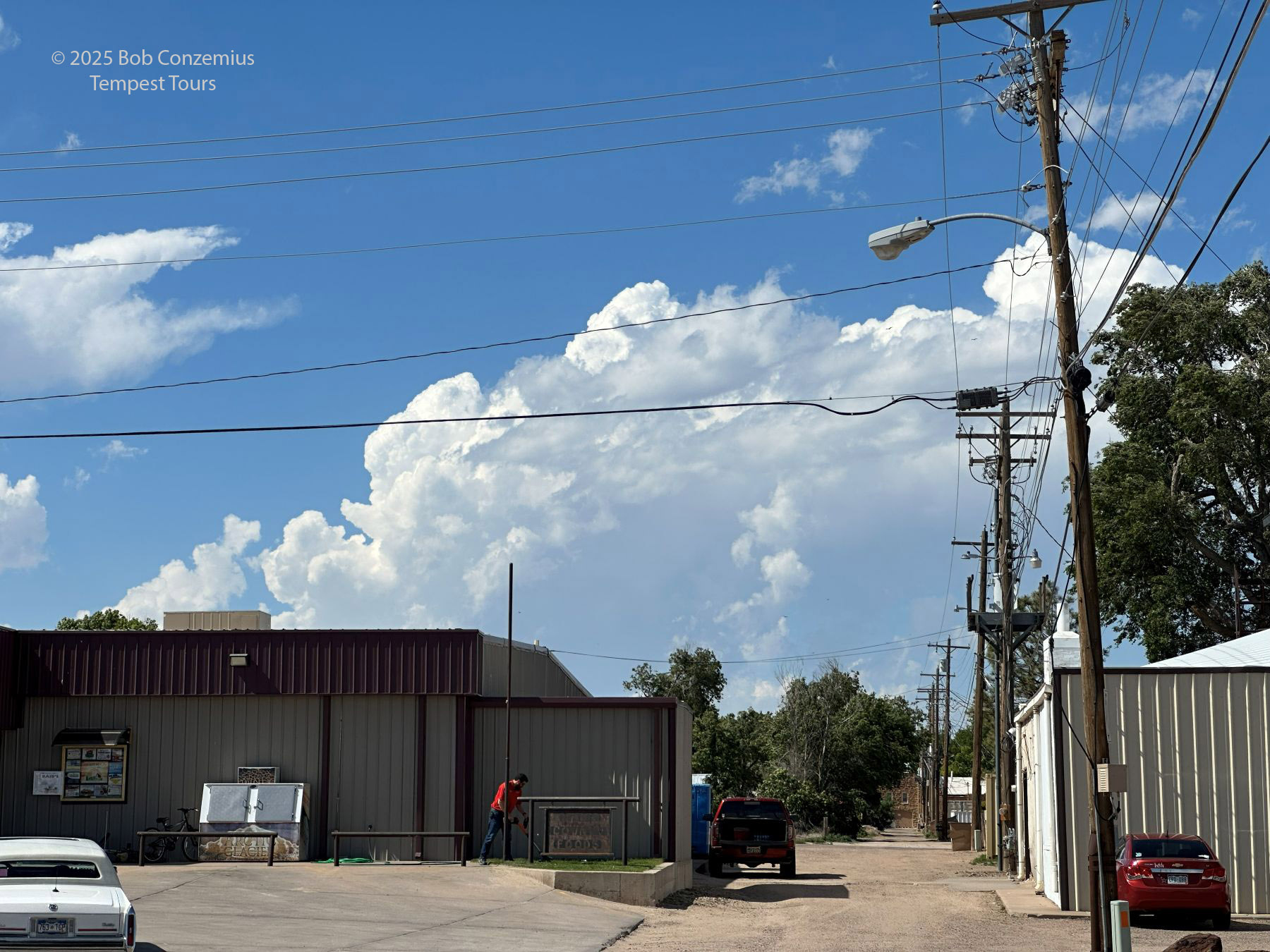
Well, this chase was somewhat of a bust for me. This was the last day of Tempest Tour 4B. We had to be back in Oklahoma City tomorrow for the conclusion of the tour and to service the vans. Because of the travel time, we were on a bit of a leash and had a northern limit. At first glance at the SPC outlooks below, it would appear that having a northern limit would not be that bad a problem. However, the tornado risk was greatest in northeastern Colorado, and that, indeed, was where a majority of the tornadoes were. We were hoping that something in southeastern Colorado could do the same thing. The CAMs were showing this possibility with a supercell in southeastern Colorado. We left Childress and made our way toward the Oklahoma panhandle with an initial target of Boise City. We stopped at Coyote Bluff restaurant in Amarillo for lunch.
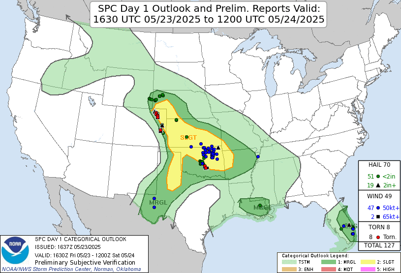 |
| The Storm Prediction Center 1630 UTC Day 1 outlook. |
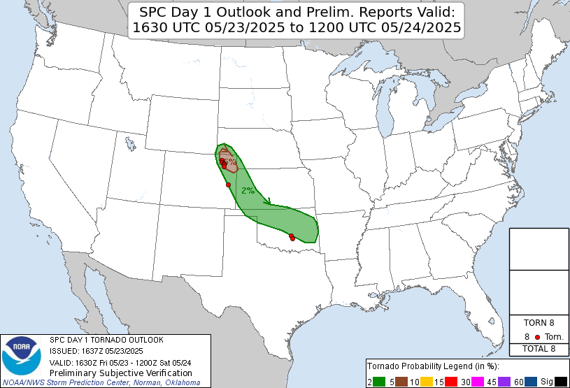 |
| The Storm Prediction Center 1630 UTC Day 1 tornado outlook. |
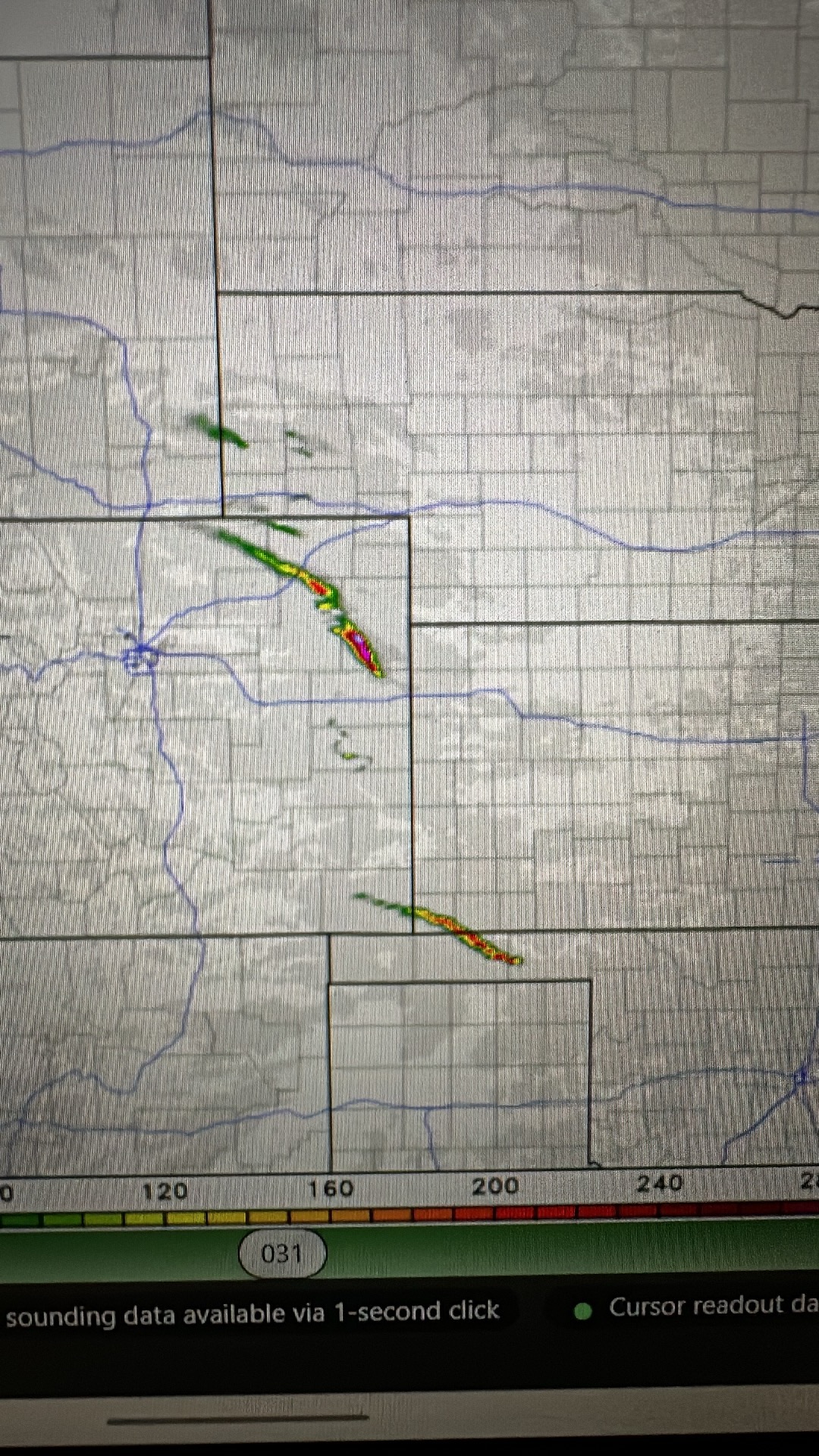 |
| The CAMs had a nice helicity swath coming out of southeastern Colorado into the Oklahoma panhandle. |
 |
| The NAM nest forecast for our potential target storm in the Oklahoma Panhandle. |
 |
| Another CAM forecast showing an even better rotating storm crossing the Oklahoma panhandle. |
 |
| A required morning breakfast when you stay at a hotel in Texas. |
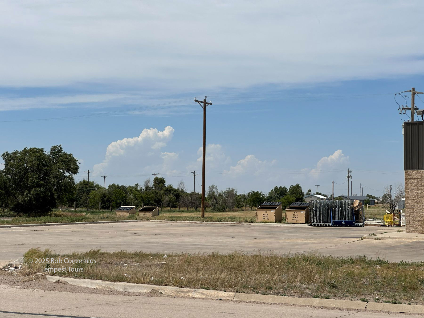
Upon reaching Boise City, we decided to hang out a bit at the Love's Travel stop in town. This was a long stop to look at data and allow bathroom breaks before we got into chase mode. We also met up with Tour 4A. Over the 90 minutes or so that we were there, the towering cumulus continued to grow in size. At some point, these became large enough that I decided we should drive toward one of them. It looked pretty good. The NAM nest now showed an explosion of storms along the dryline, even into the Texas panhandle, but I've seen this before. It often shows more storms than actually develop.
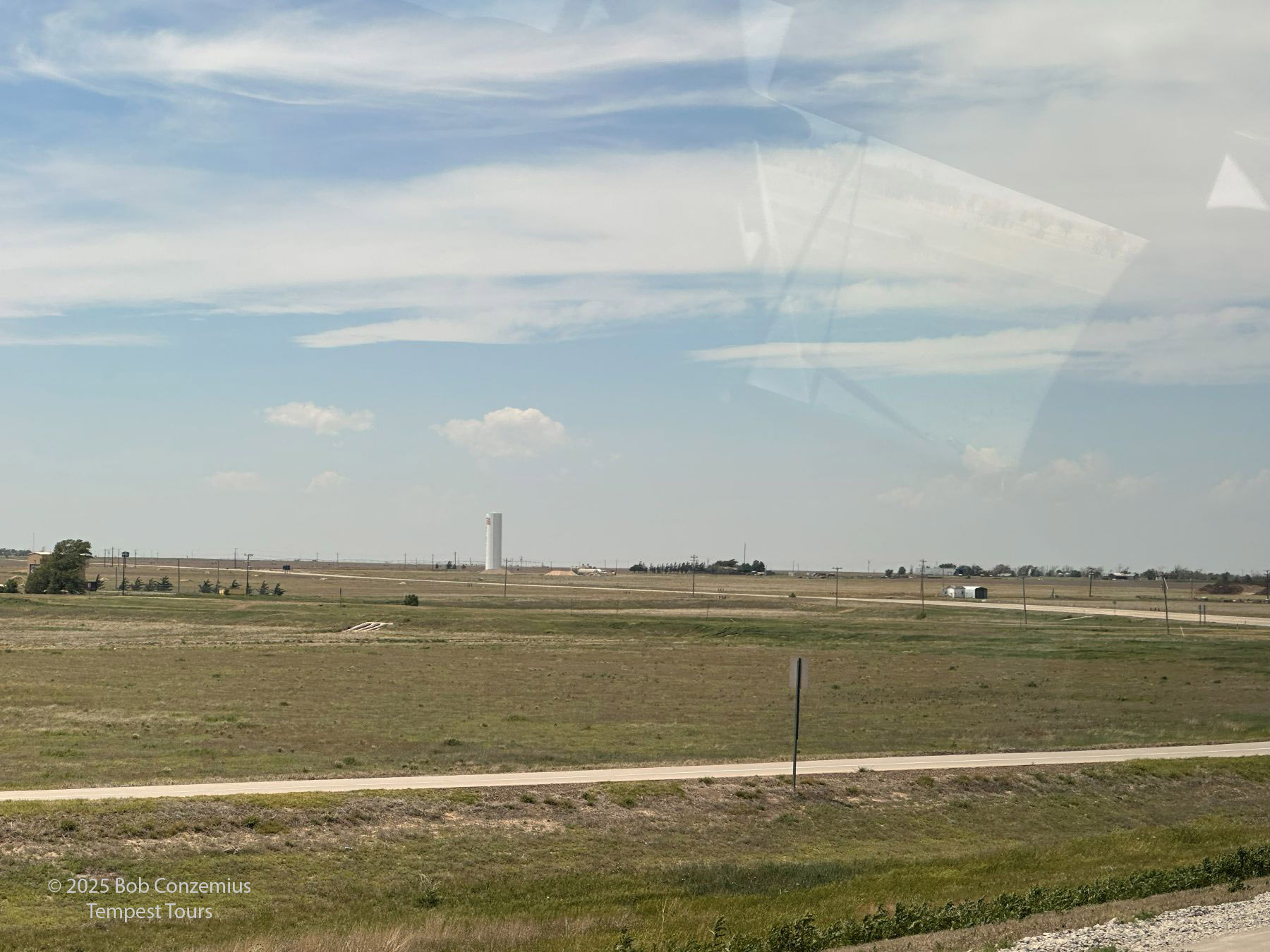 |
| Towering cumulus to our northwest, viewed from Boise City, OK. |
 |
| We hang out in Boise City for a bit as towers continue to percolate. |
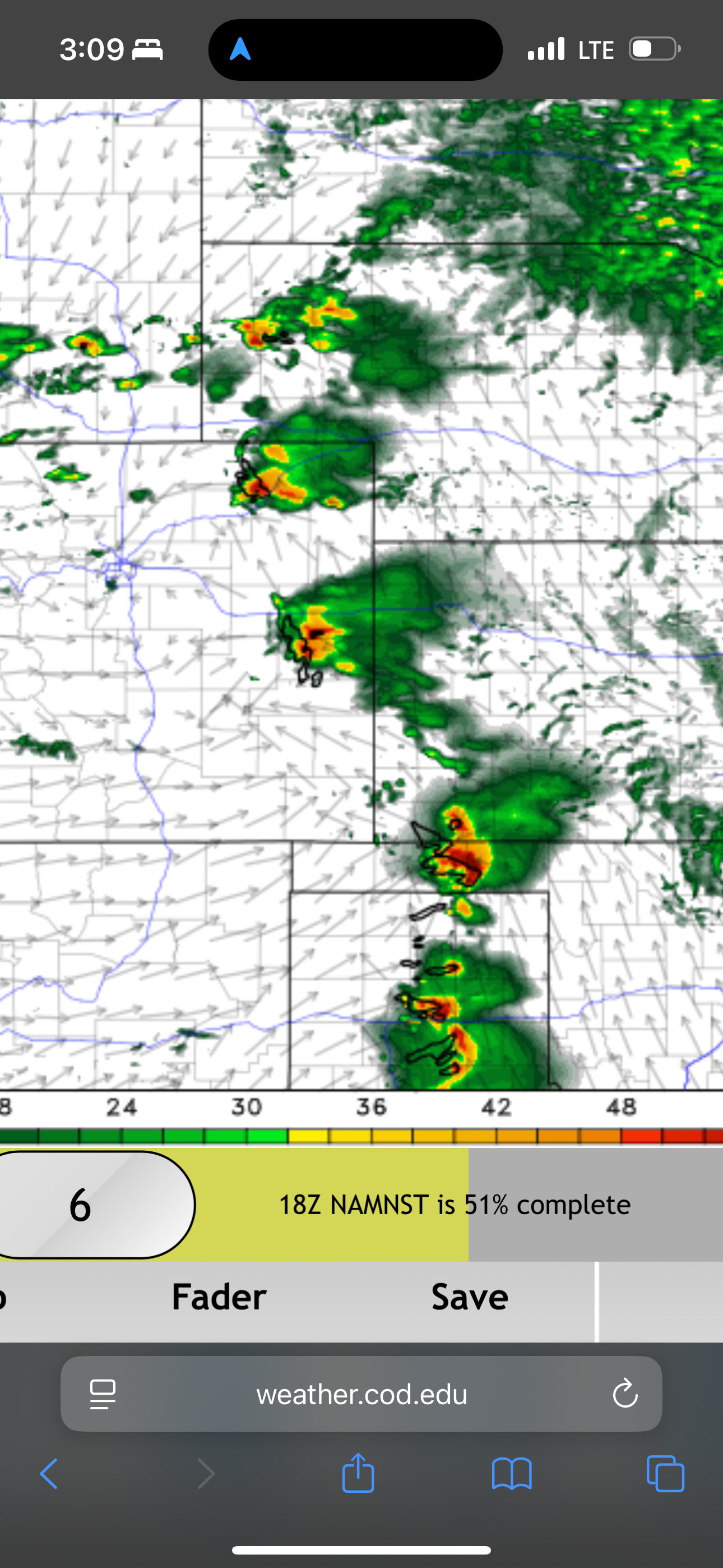 |
| The CAM forecasts continue to look good for this area, but I worry that the NAM nest is up to its usual dryline tricks (forecasting more storms than actually occur). |
 |
| Towers are getting larger, but not more numerous. |
 |
| It looks like we may be getting a storm. |
We left town to drive toward one of the largest towering cumulus, thinking we might have a target storm. However, as soon as we got out of town and had a better perspective, things looked different. The base was pretty high, and there were no neighboring cumulus around it. To me, that is a sign of a lack of lift. The individual cumulus might be fine, but if there aren't any neighbors around it, it's a sign of subsidence around the main cumulus. That often kills it off, or else the storm struggles.
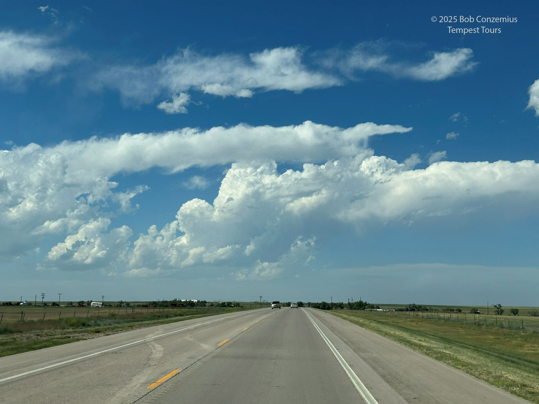 |
| We move north from Boise City but soon realize this is very high-based, and it doesn't have a lot of cumulus ahead of it (a sign of a lack of lift). |
Indeed, this initial attempt at convection fizzled, and we were left with a dwindling number of additional towers. It wasn't looking great. Nonetheless, we decided to hang out a bit in Two Buttes, Colorado to look around the town while we further awaited storm development. I took pictures of Tour 4A then decided this was as far as Tour 4B could go before starting the drive back to Oklahoma City.
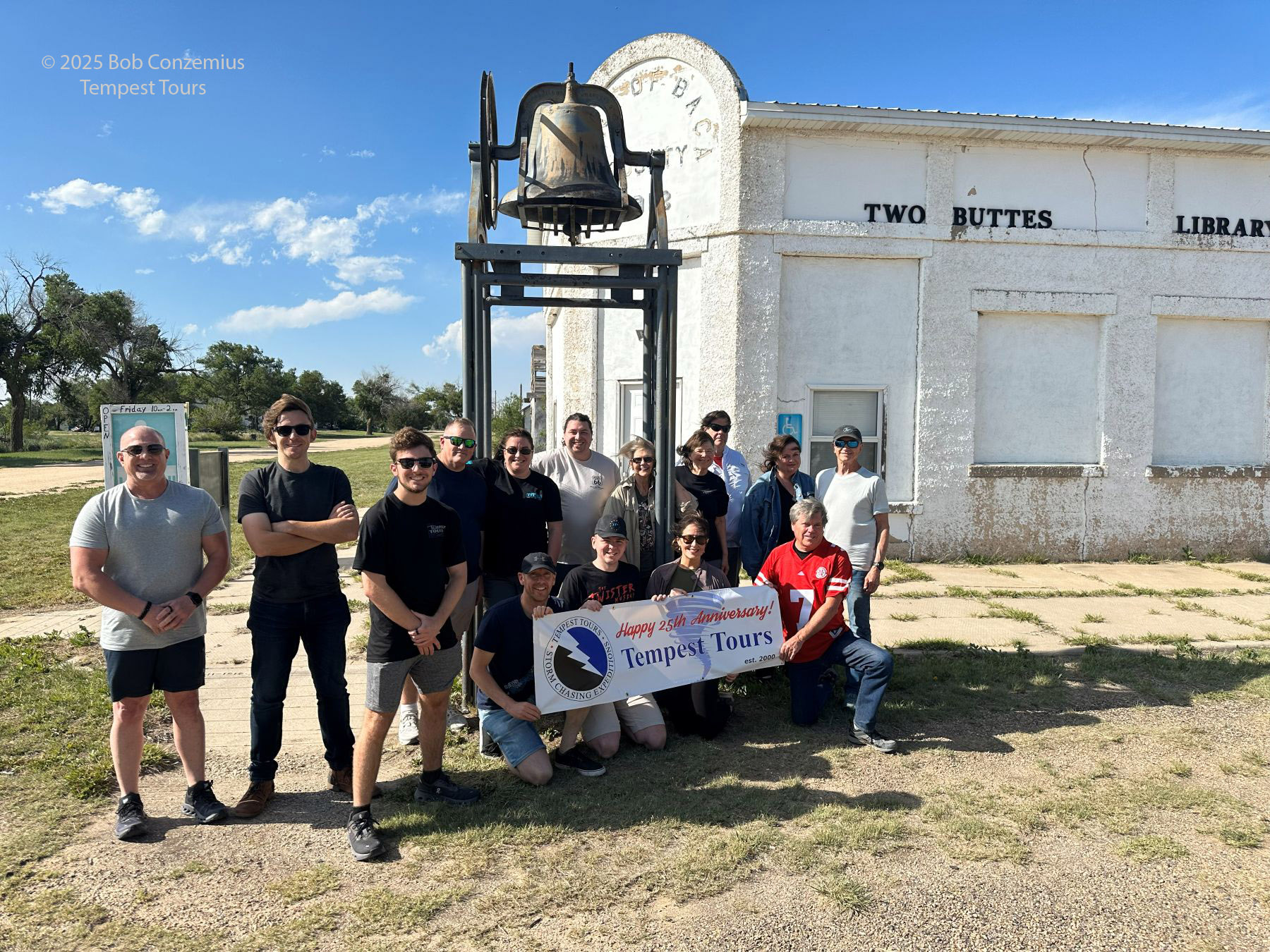 |
| We stopped in Two Buttes, Colorado to take Tour 4A's official picture. We would split up here. |
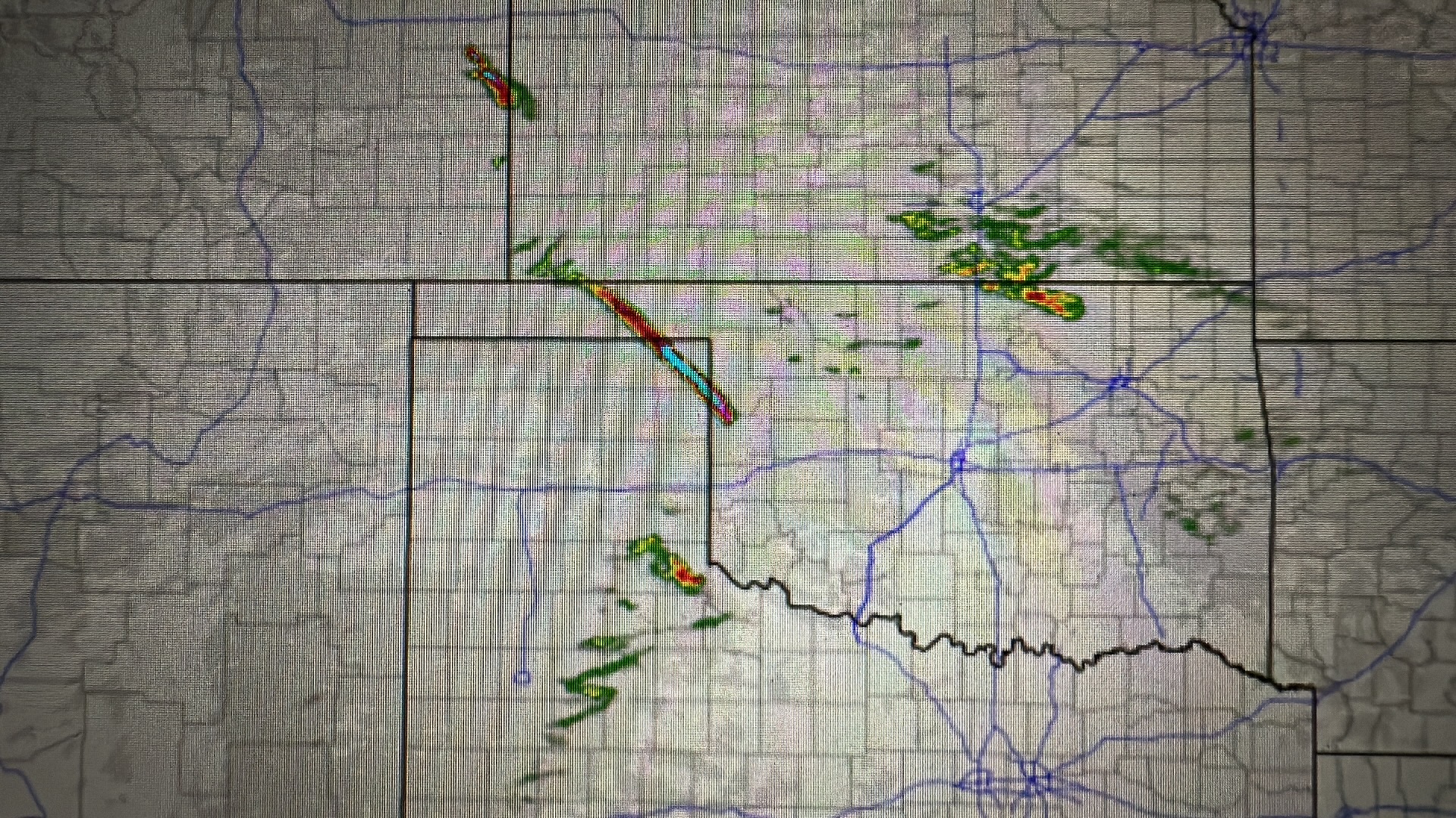
Remember the chase account from yesterday? After abandoning what turned out to be a visually dramatic storm, Bill was extra motivated to get the T4A guests something great today (also the last chase day for Tour 4A). He had the guests rebook any flights that might interfere with a later arrival back in Oklahoma City, and he proceeded to drive farther north toward east-central Colorado. I suggested we could do the same thing, but I sensed the guests were satisfied with the tour and preferred to get back to Oklahoma City on time. At this point, Tour 4A and Tour 4B parted ways. I began to stare heavily at radar, wondering what would become of the developing storms farther north. They struggled initially, but soon they were warned. Soon after that, a tornado developed. The tornado was rather small, but they got one! The main show was the well-structured supercell storm at sunset, which provided a dramatic scene.
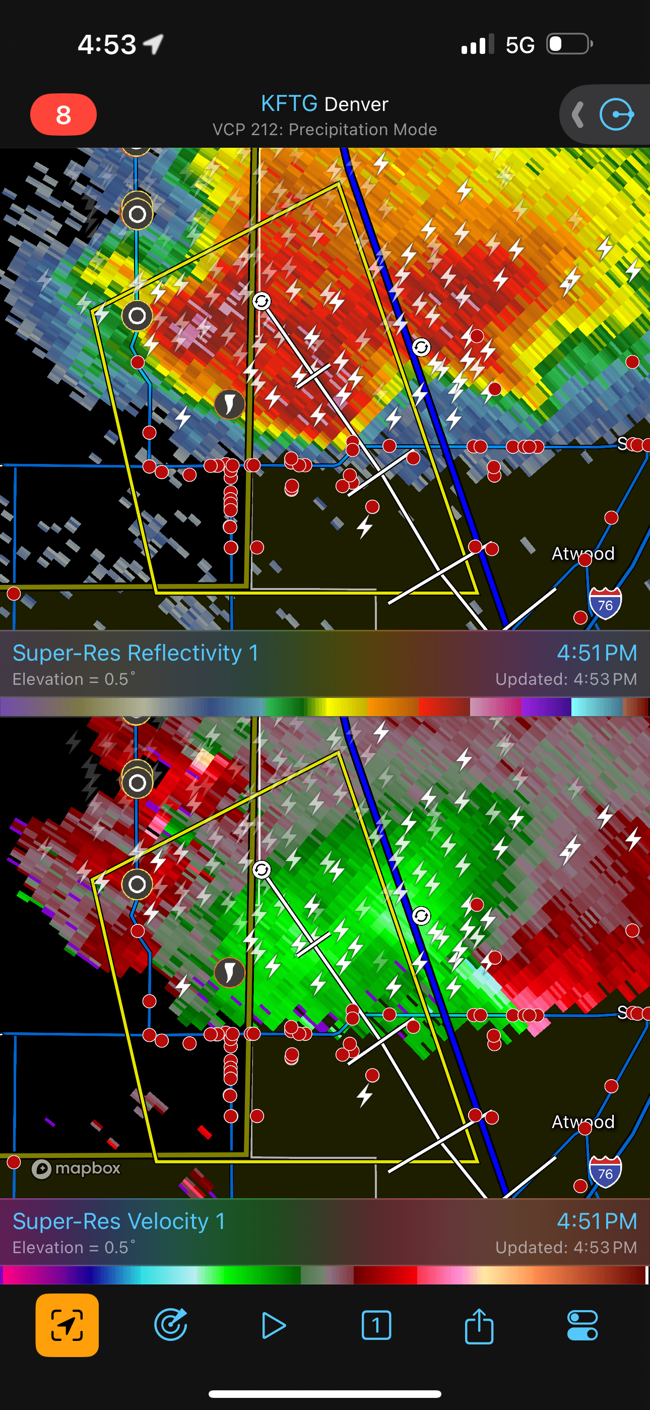 |
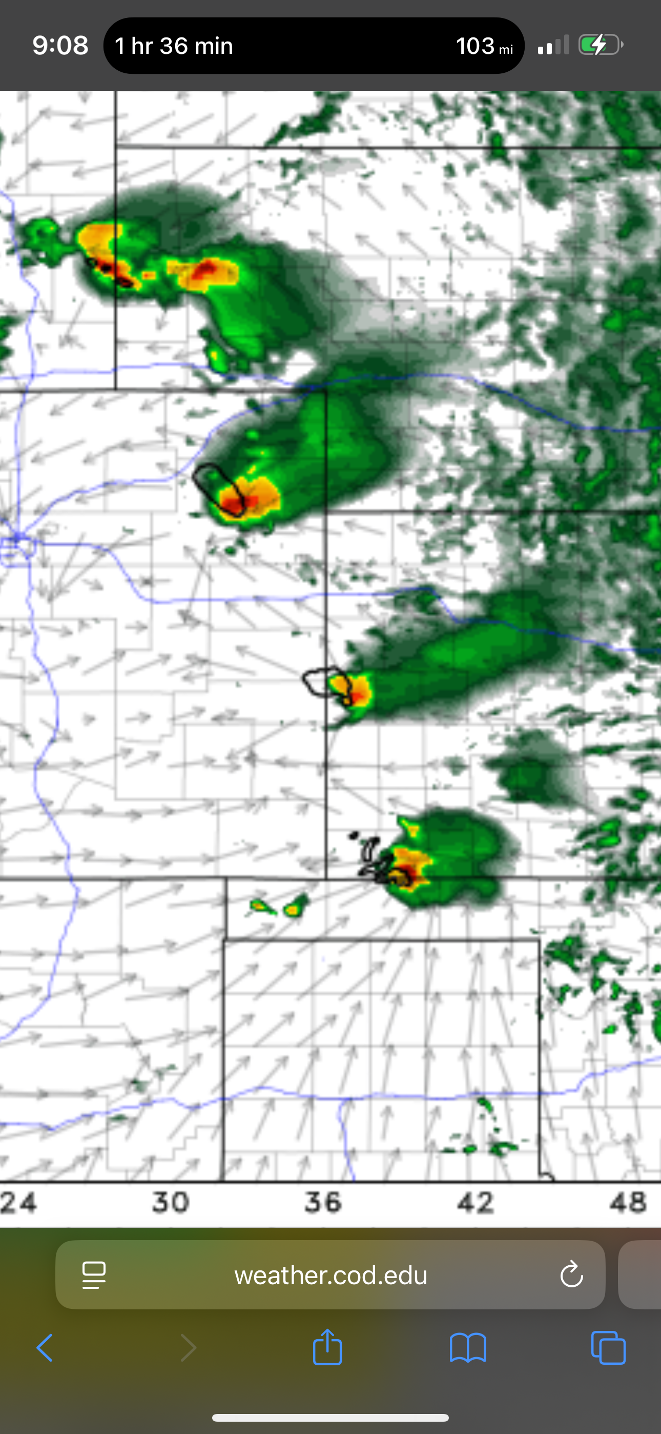
| Radar shot of the east-central Colorado storm. |
We zig-zagged back southeast and booked rooms in Woodward. We would stay at the same hotel we stayed at a few days earlier. I got my guests back to Oklahoma City in time, and Bill got his guests another great storm!
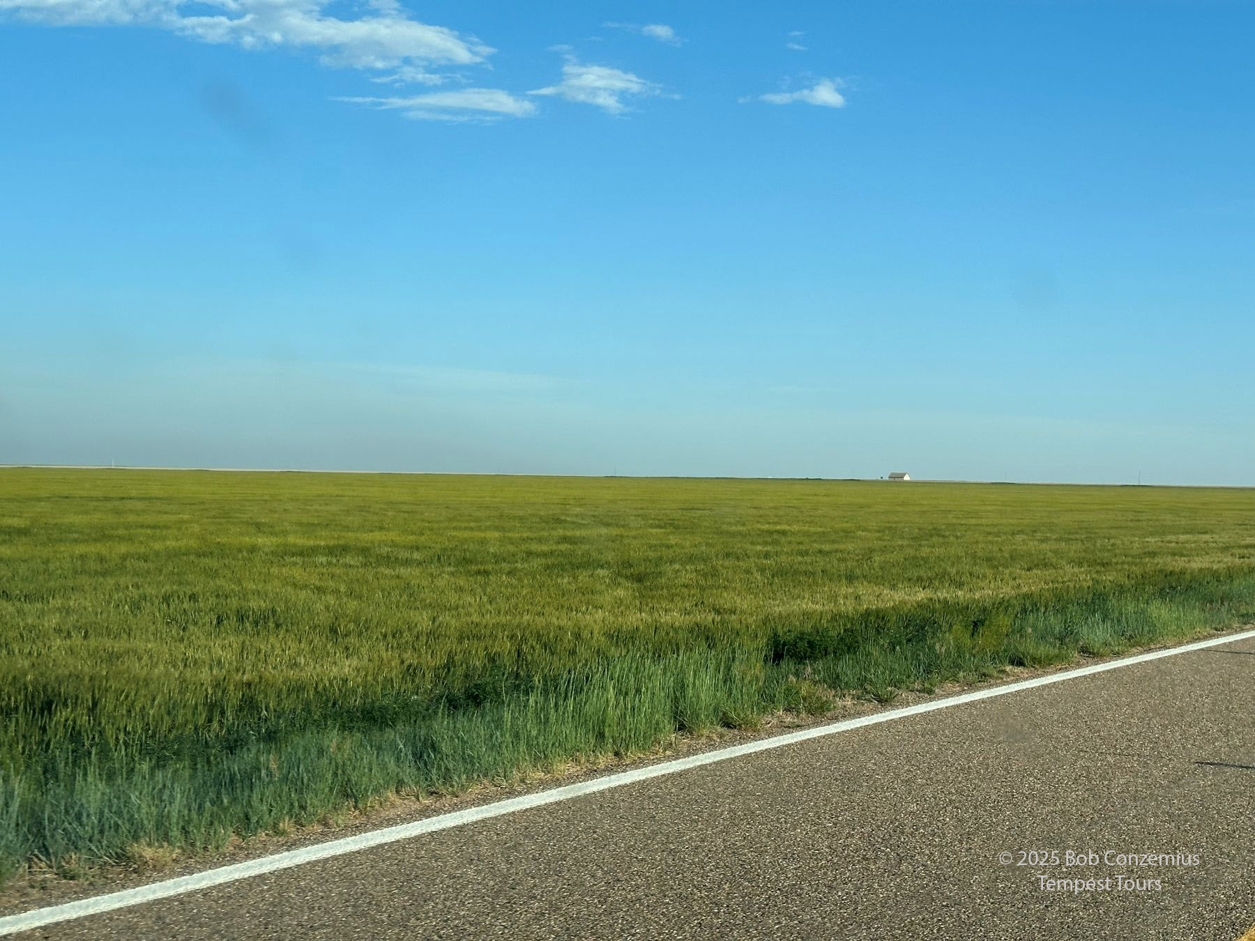 |
| Nothing but clear skies (and some nice wheat fields) ahead of us. |
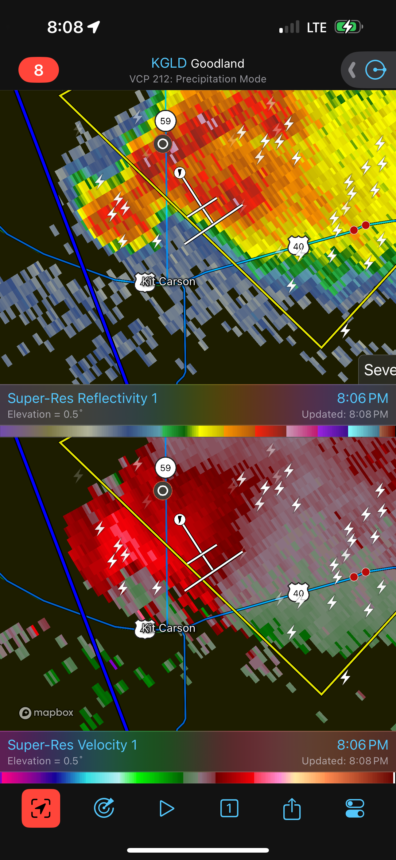 |
| Another radar shot of Bill's (Tour 4A) storm. |
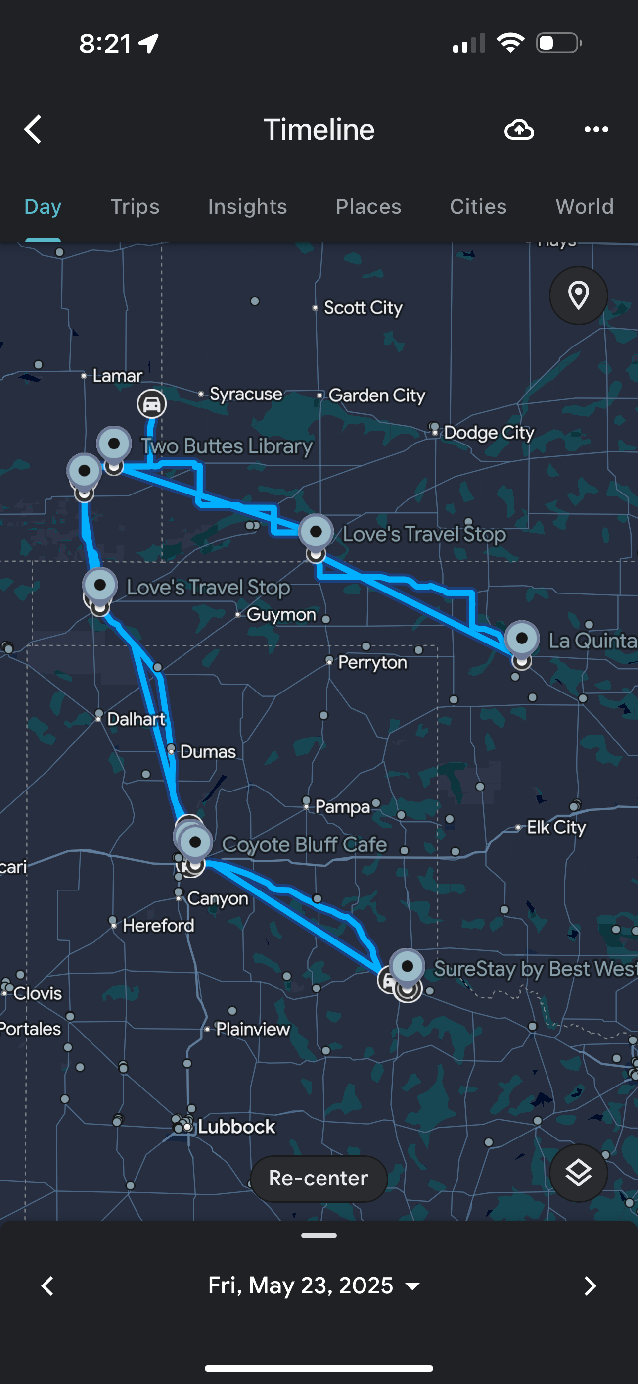 |
| Our chase route for the day. |
Back to Storm Chases | Home