Wise County, TX
April 16, 2002
Dan Miller, Ernani Nascimento, and I drove
south on I-35 in anticipation of severe storm development in north Texas and extreme southern
Oklahoma. About a half hour after we left Norman, Dan's forecast verified. Storms erupted
in the Dallas-Ft. Worth metroplex and became tornadic. We eventually decided to blow this
stuff off because it was in the metroplex at rush hour (almost impossible to chase), and it
turned out that the storms would have been past their tornadic phase when we got there anyway.
Instead, we saw a new cell to our west, and we picked a spot to sit and wait for the storm
to come to us. We camped out in extreme northeastern Wise County for about an hour and enjoyed
the view as the storm approached. Here are some images:
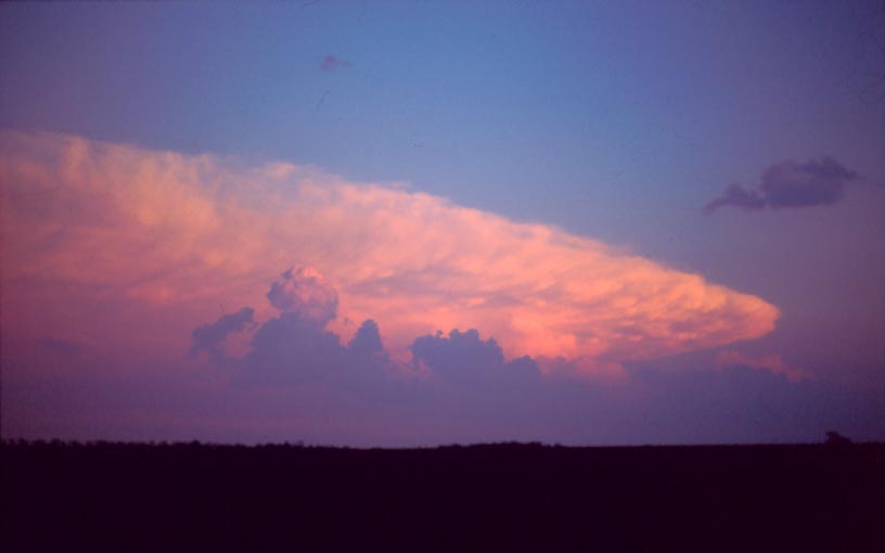
Dallas-Ft. Worth storm as seen from our location to the northwest.
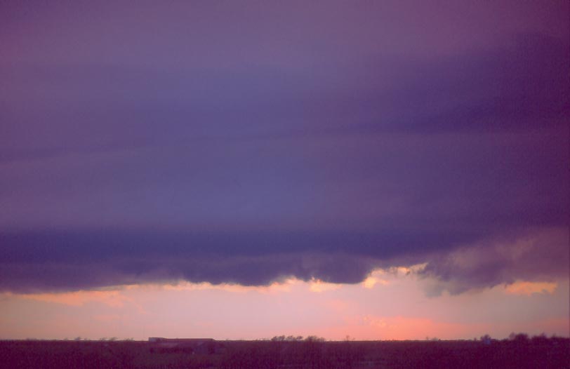
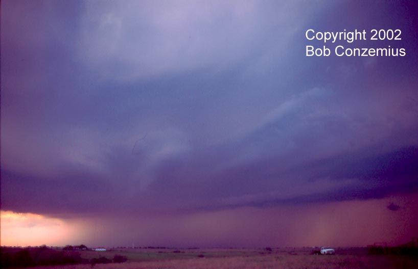
Updraft base of Wise County supercell at sunset.
Updraft base of Wise County supercell at sunset.
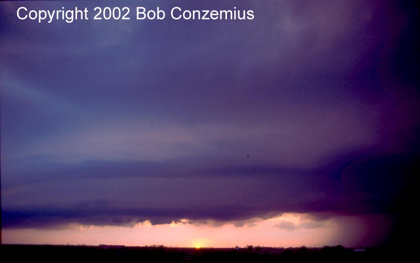
Wise County supercell - wide view.
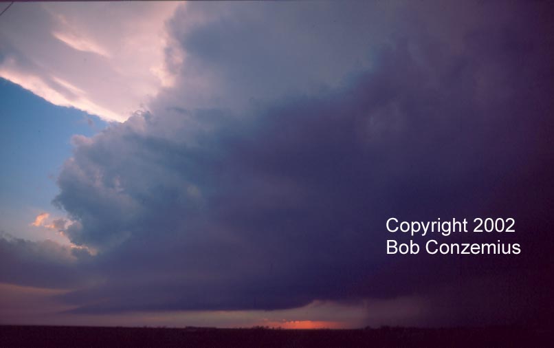
Base and inflow bands (right).
2002 | All Storm Chases | TornadoBob Home