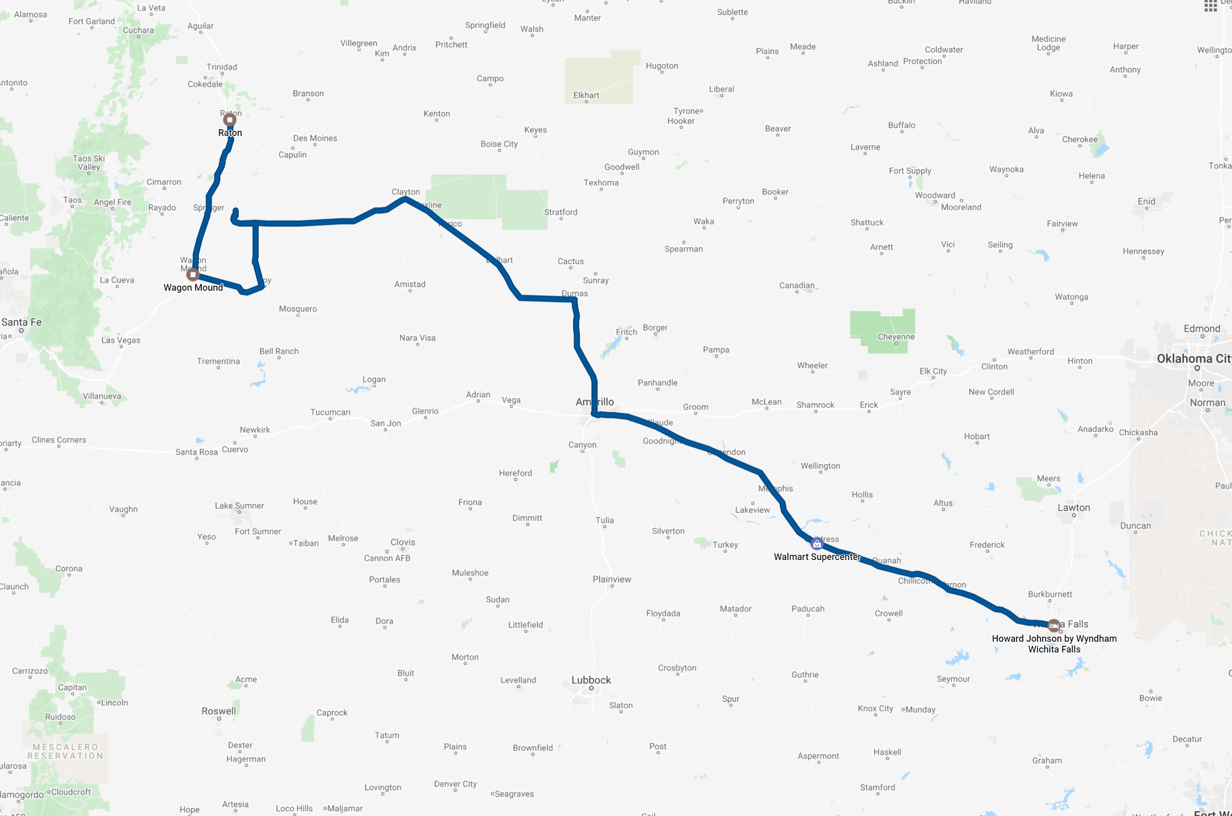
After a hectic chase the evening before, we began the day in Wichita Falls. One weather system had gone to the east into the forests (there would be some tornadoes with it in eastern Texas), but Tempest Tours' preference for storm chasing has always been the high plains over the forests, so we drove west-northwest toward Clayton, New Mexico. Storms were predicted to develop on the Raton Mesa and drive south and southeastward into northeastern New Mexico.
We drove straight through Clayton and opted to take the southwestern road out of that town (U.S. Highway 412). We might have made a stop in Gladstone for some food and snacks, but we proceeded west from there and waited near Abbot as storms developed in our vicinity and to the northwest. A stronger cell or two appeared out of the clouds to the northwest, and we drove north of 412 on a ranch road to let it come toward us. It appeared to be on the verge of turning supercellular, and it came close, chasing us off the dirt road and back onto 412, but by the time we returned to pavement, our storm was weakening.
Another one was strengthening to our south, so we drove back a little east on 412 then south on New Mexico Highway 39. This kept us parallel to the storm track as it was moving almost straight south, and the storm was west of our location, which was ideal for viewing it. There was actually a pair of storms very close to each other. I'm not sure why this happens as often as it does, but eventually there was just one storm, which kept moving southward.
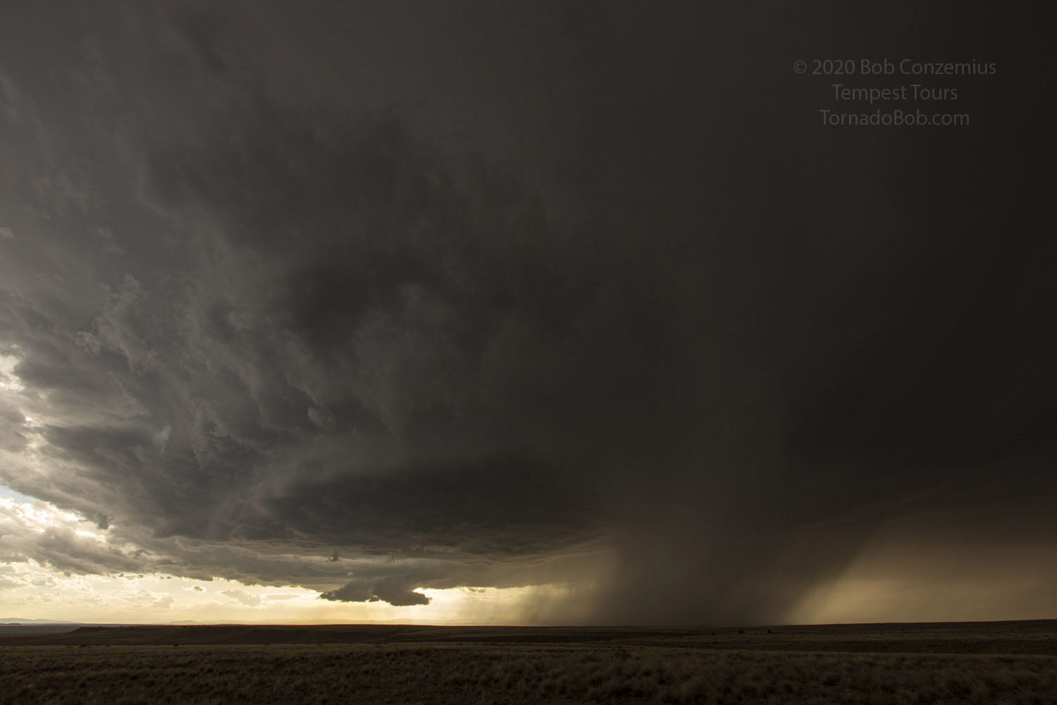
Cell(s) have a double structure here-- closer and more distant updraft bases.
A round updraft base in front and two wall clouds forming.
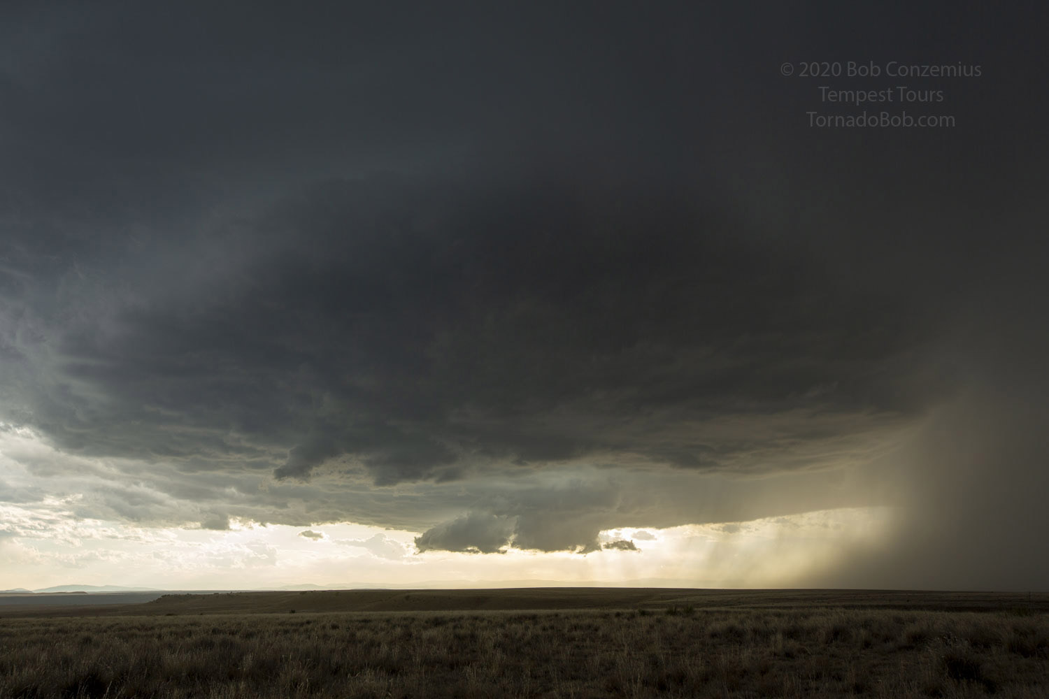
Storm over a pasture.
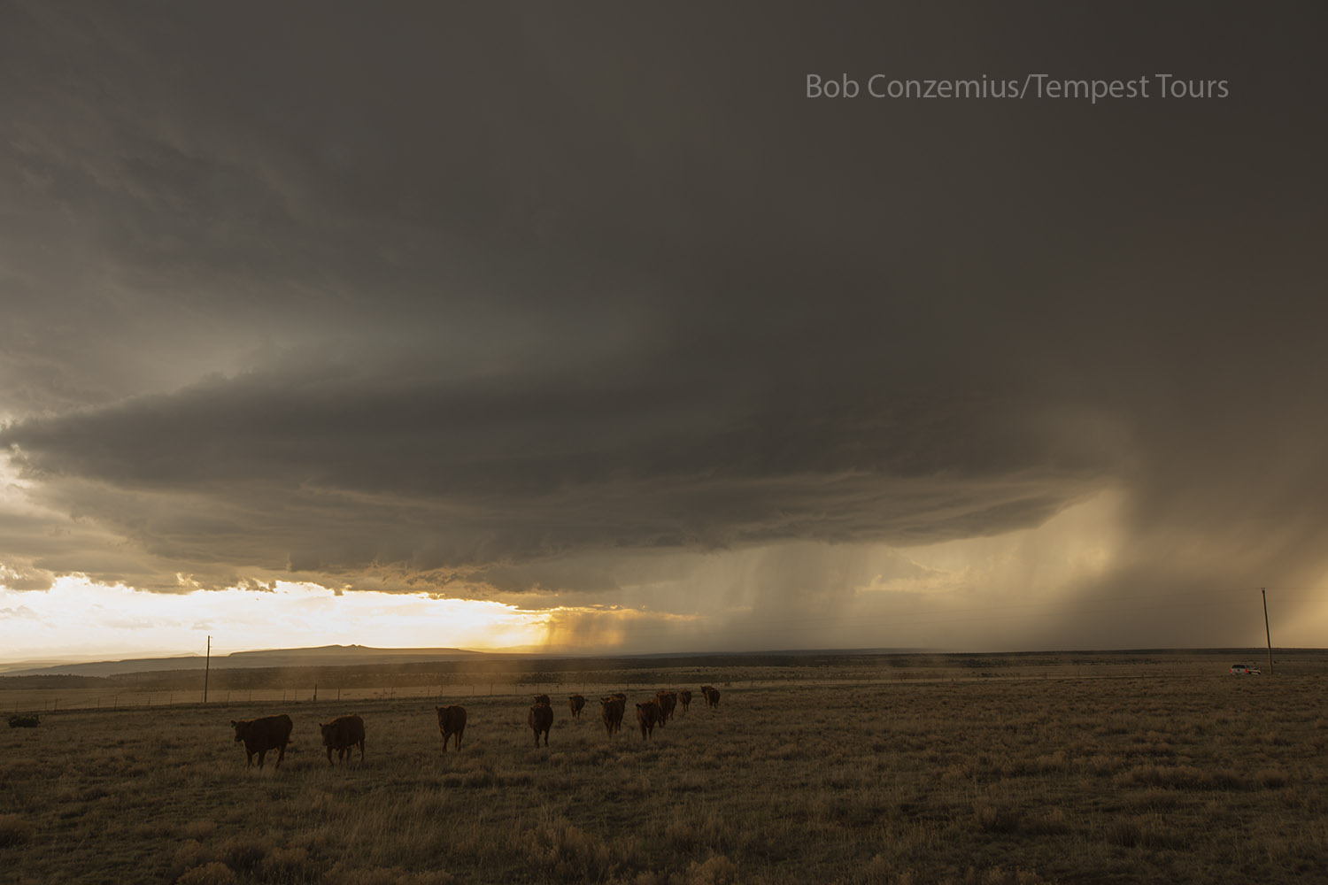
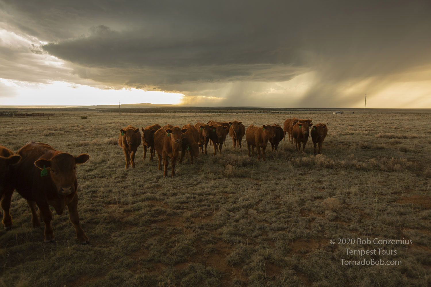
Cows approach us as if hoping we could rescue them from the storm.
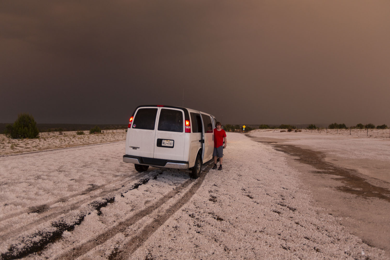
Eventually, at Roy, NM, we had to choose between a road going southeast and away from the storm and a road going west that would take us into the storm. Since it was late, we chose the western option. We did not have much daylight left. We paused west of Roy to watch the updraft base produce cloud-to-ground lightning nearby, and then we continued west and closer to the storm core. Eventually, it was necessary to let it cross our road. We let it do that to our west while we enjoyed a bit of moderate to heavy rain and pea size hail. After that passed, we continued west on our road, which took us into a small canyon where the road was covered in hail. It was a bit challenging driving on the hail. Traction wasn't what it usually is with hailstones rolling under the tires.
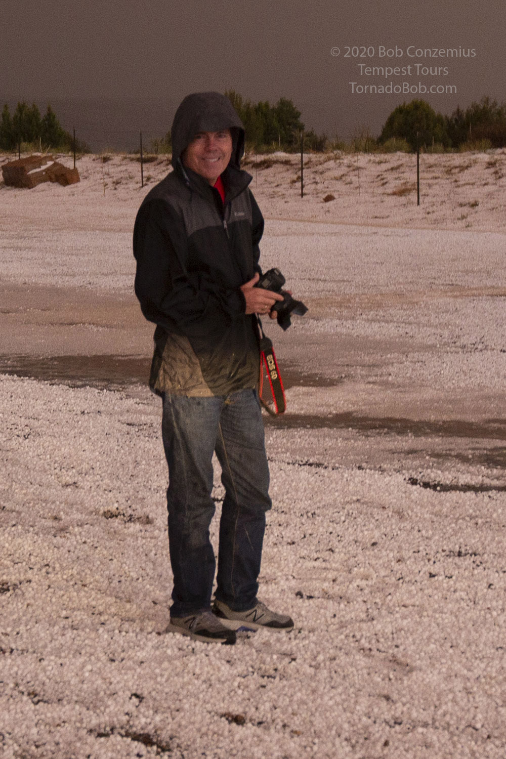
We cam back out of the canyon to the deepest hail. With the climb out of the canyon behind us, we stopped at a small pullout in the road and photographed the white and cold landscape. With the sun now below the horizon, we headed west to I-25 and onward to Raton to spend the night.
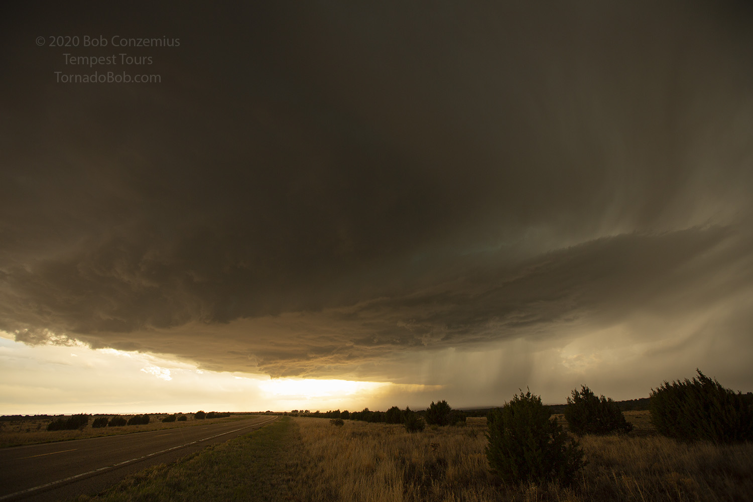
The updraft base looms ahead.
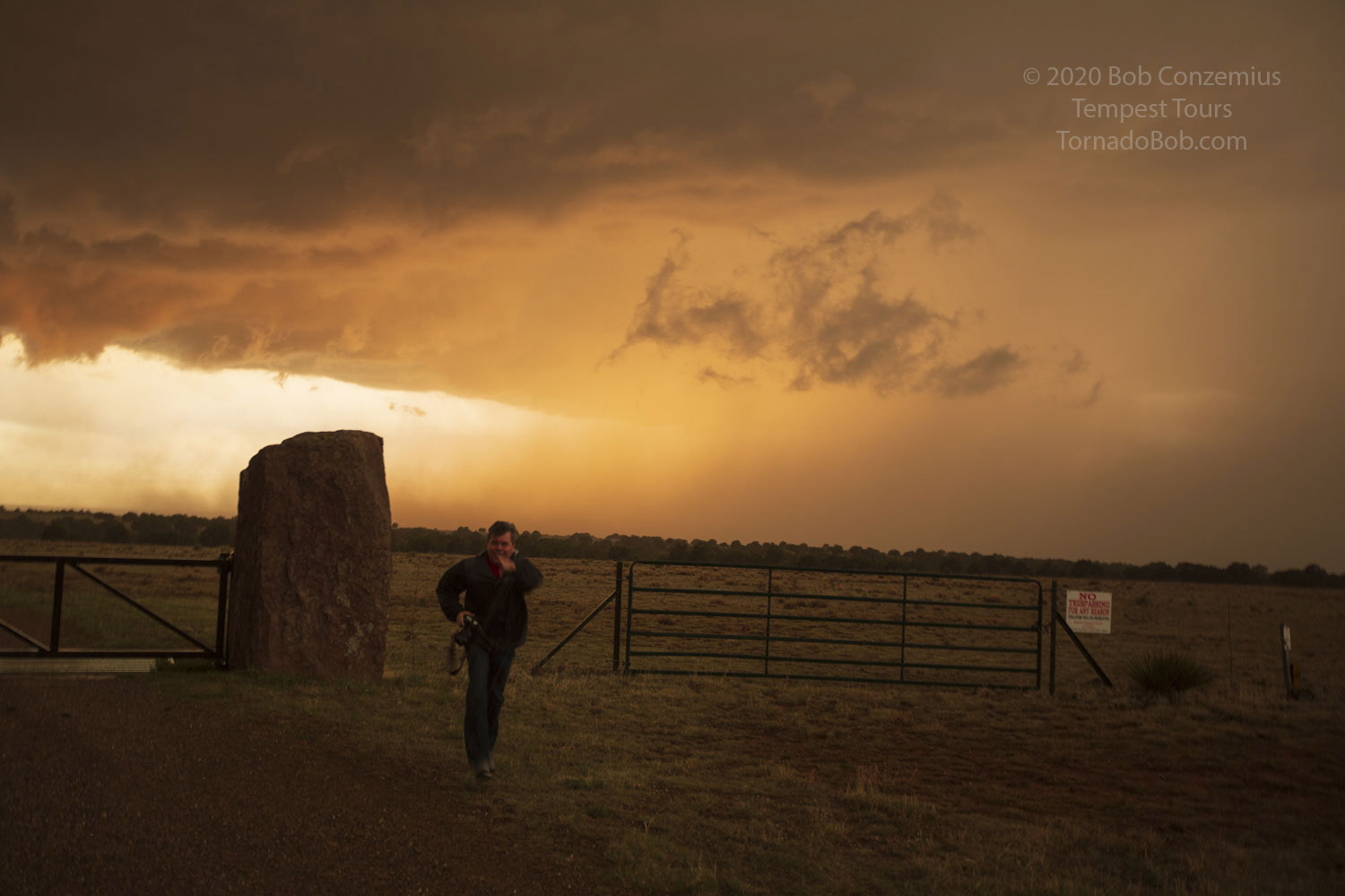
Taking pictures at sunset.
A tour guest surveying the scene.
Our tour director, Bill Reid, enjoying the hail.
We drove at least 554 miles according to my appoximate map. Bill Reid's log shows 574 miles.