Barrel updraft (okay-- you have to interpolate/extrapolate) west of U.S. 385, north of Vega, TX.
We hung around Amarillo most of the day, with me not knowing what part of the northwest-southeast part of the boundary would be best. My gut feeling told me to stay north, but there was colder air in the Texas panhandle than in other areas (perhaps a result of a cold pool left over from last evening’s convection). Shear seemed almost equally good in all areas, CAPE was better farther south, but the cool air in the northeastern two thirds of the panhandle was reducing CAPE farther north. Still, I was thinking CAPE would be acceptable on a northwest-southeast axis to the northwest of Plainview, TX. Storms started early on the Raton Mesa, but it looked like the Texas panhandle storms would fire later.
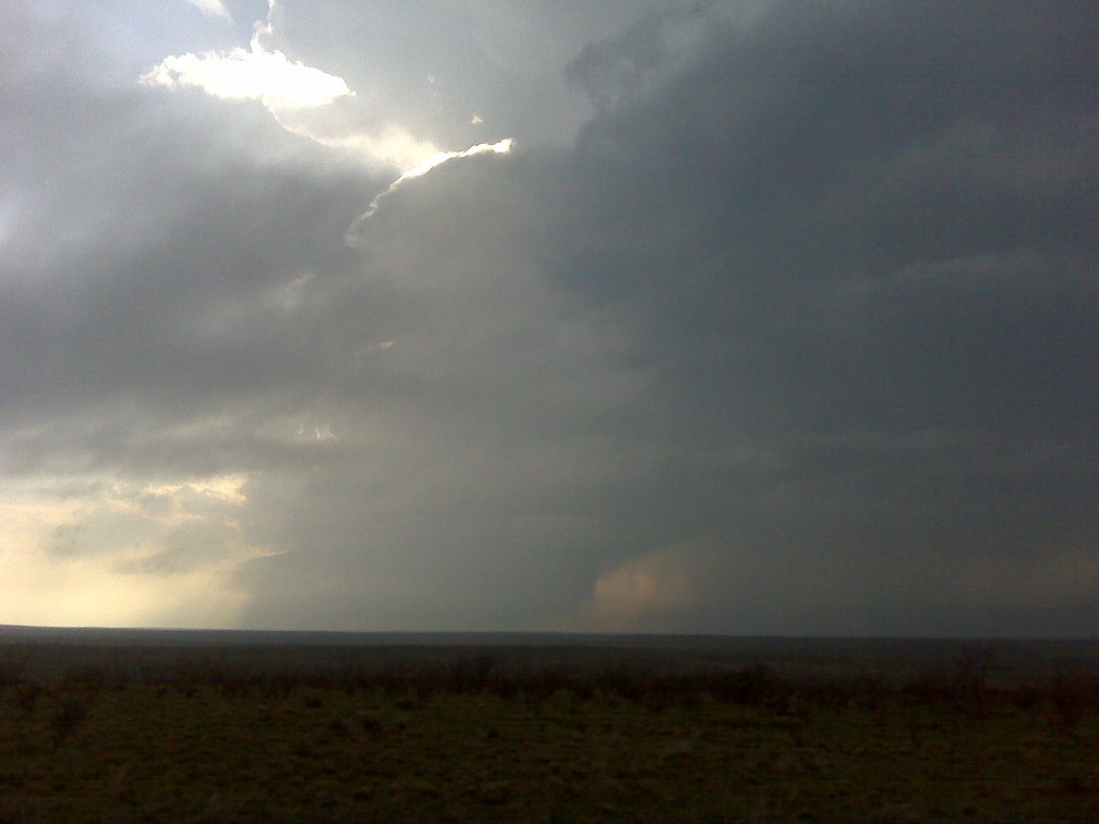
However, those storms struggled, and the strongest storms developed just north of the target area in cooler air. Also, a severe storm developed just northeast of Lubbock, farther from my target area. We eventually chose the northern storm, and right after we did so, it became tornado-warned, but it was moving into a roadless void north of Vega. We drove north on U.S. 385 to its east to see if we could get a view before sunset, but the storm weakened before it came close enough for us to view, and there were also intervening stratus clouds.
Barrel updraft (okay-- you have to interpolate/extrapolate) west of U.S. 385, north of Vega, TX.