July 4, 2023 Storms
Central Colorado
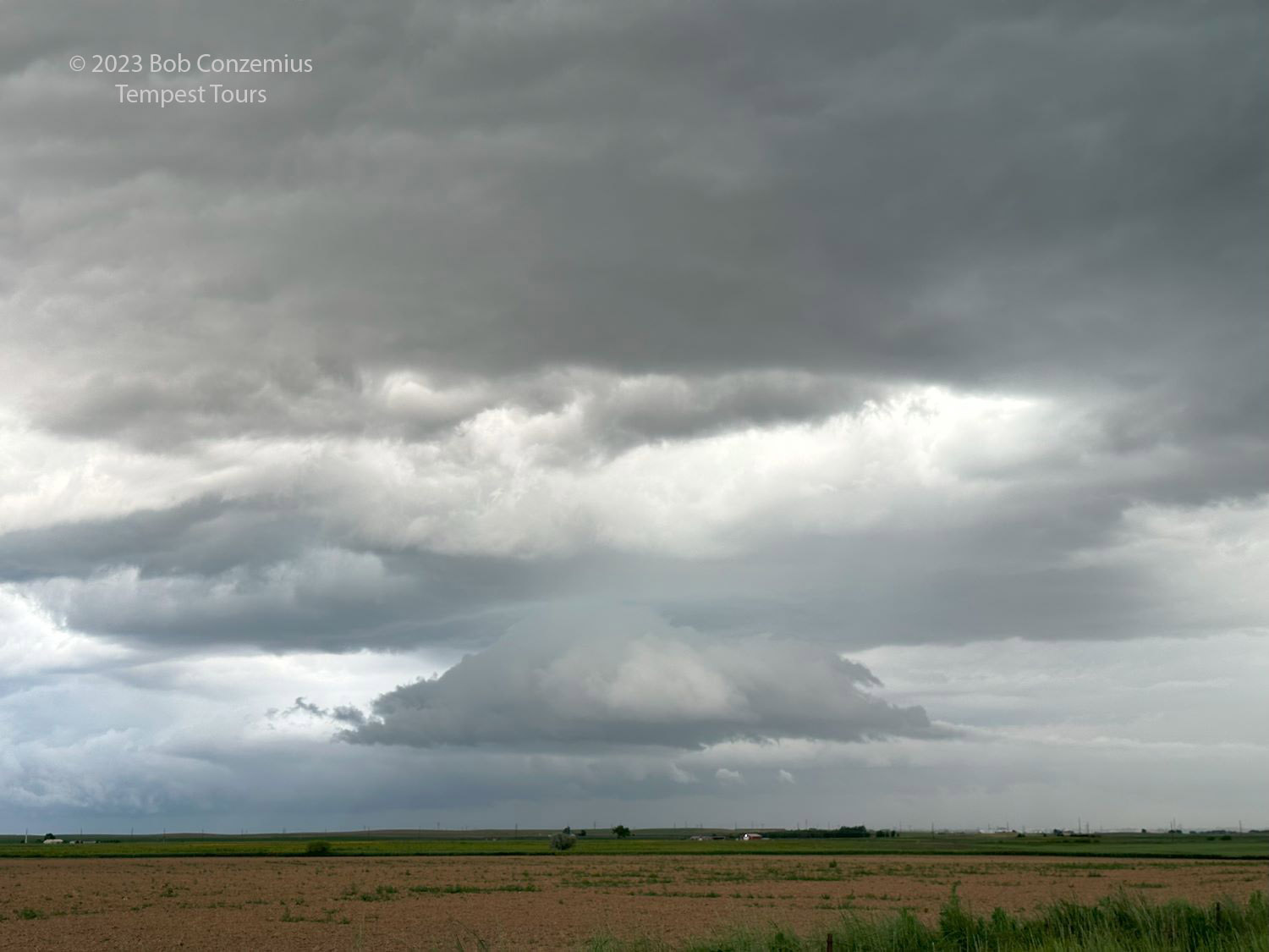
After chasing storms west of the Black Hills the day before, we found ourselves in Newcastle, Wyoming in the morning. Today's severe weather risk was much farther south, and we had a drive ahead of us. My goal for the group was to reach central Colorado and assess the situation when we got there. I expected storms to fire along the Palmer Divide or in the Limon vicinity and move eastward toward Burlington. We left the hotel and began the drive south on U.S. 85. When we got into northeastern Colorado, we saw a storm just to our west and decided to stop for a quick picture.
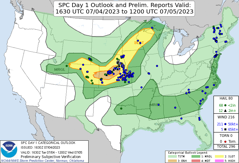 |
| Day 1 Outlook from the Storm Prediction Center. |
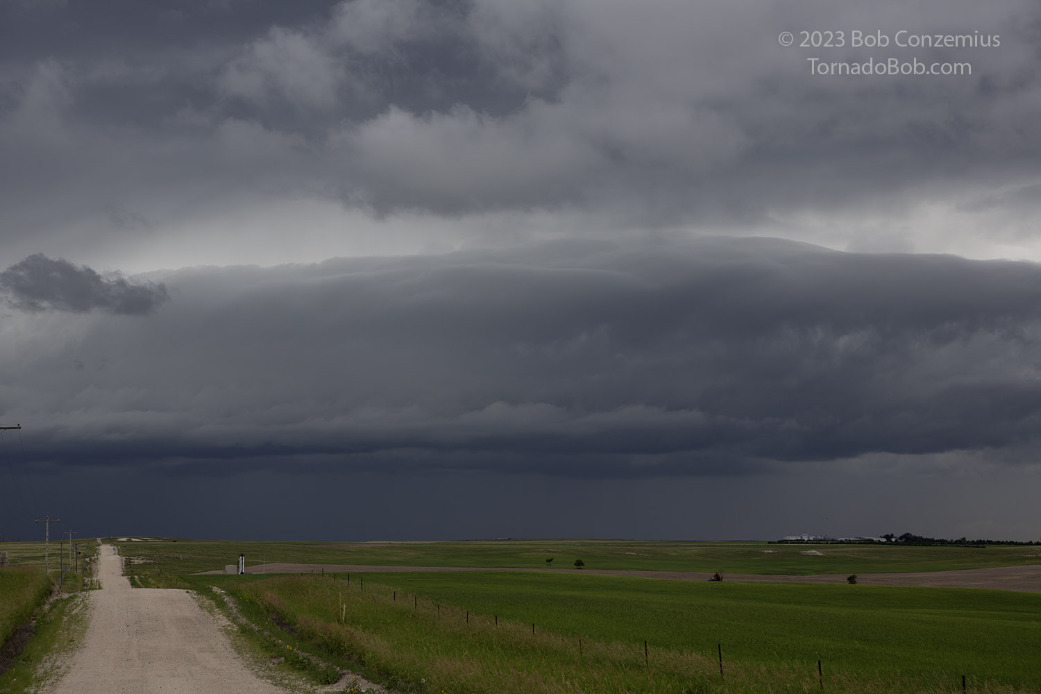 |
| A storm in northeastern Colorado on our way to the target area. |
From there, we continued south, stopped at Brush for some lunch (I think), then saw some towering cumulus and small cumulonimbus in the vicinity. We decided to follow these east should one of these become the storm of the day.
That did not happen. Instead, these cumulonimbus reached minimal thunderstorm intensity. We persisted eastward on U.S. 34 to Eckley before we noticed storms firing back in the Denver metropolitan area. This is when we gave up and began about a 100 mile drive back westward.
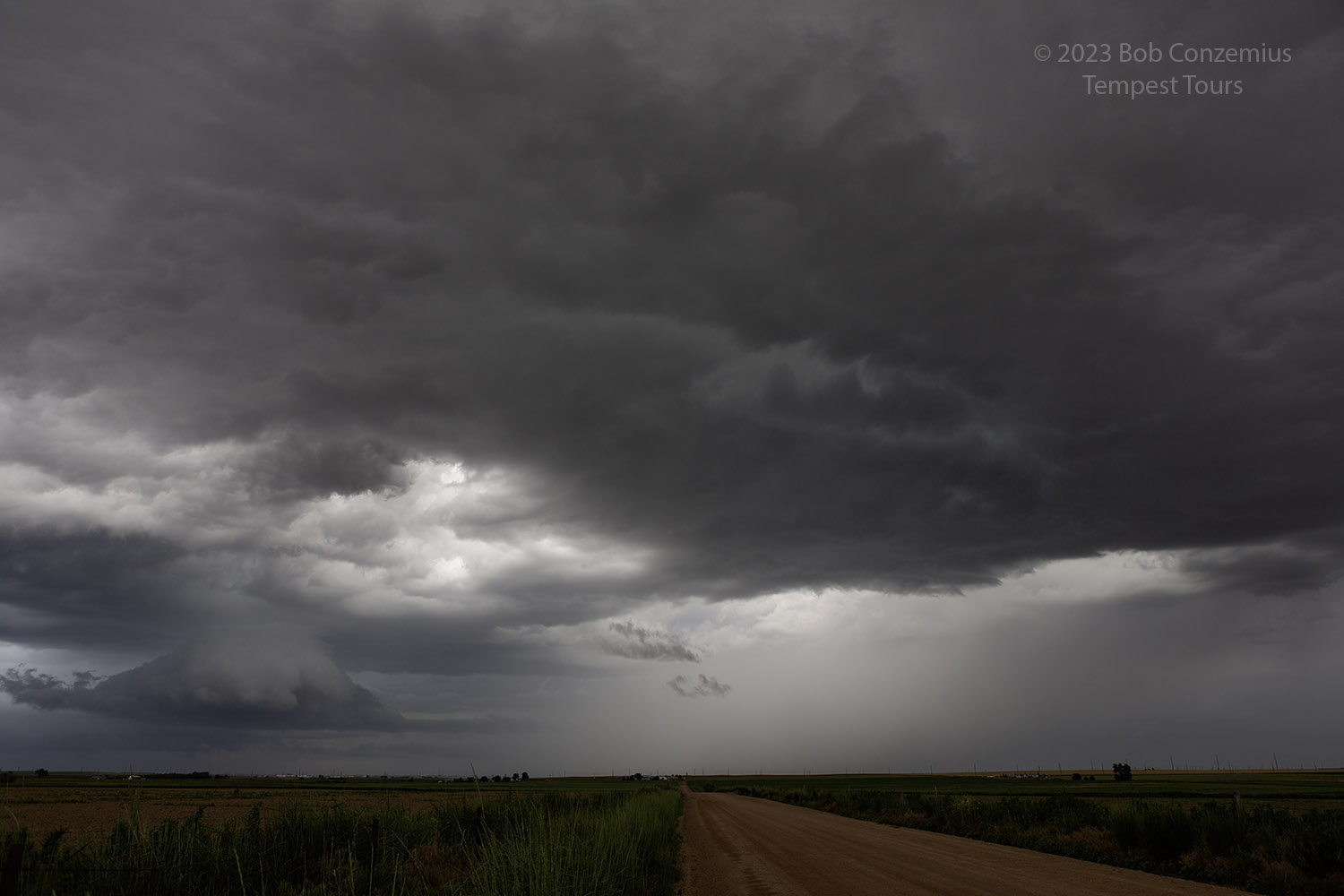
After about 50 miles of driving, we could start to see what appeared to be a supercell on the western horizon. Indeed, radar was showing quite a robust storm. I wanted to catch this beast! However, given what had transpired earlier in the day, as well as our still considerable driving time to reach the storm, my expectations were not high.
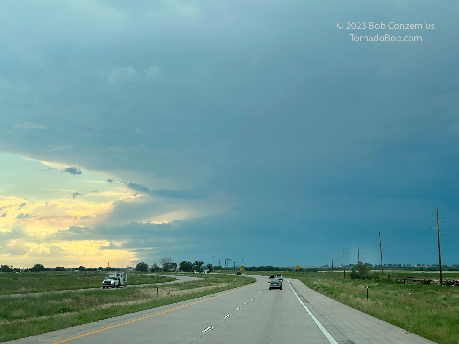 |
| A supercell on the horizon. This looked really interesting on radar. |
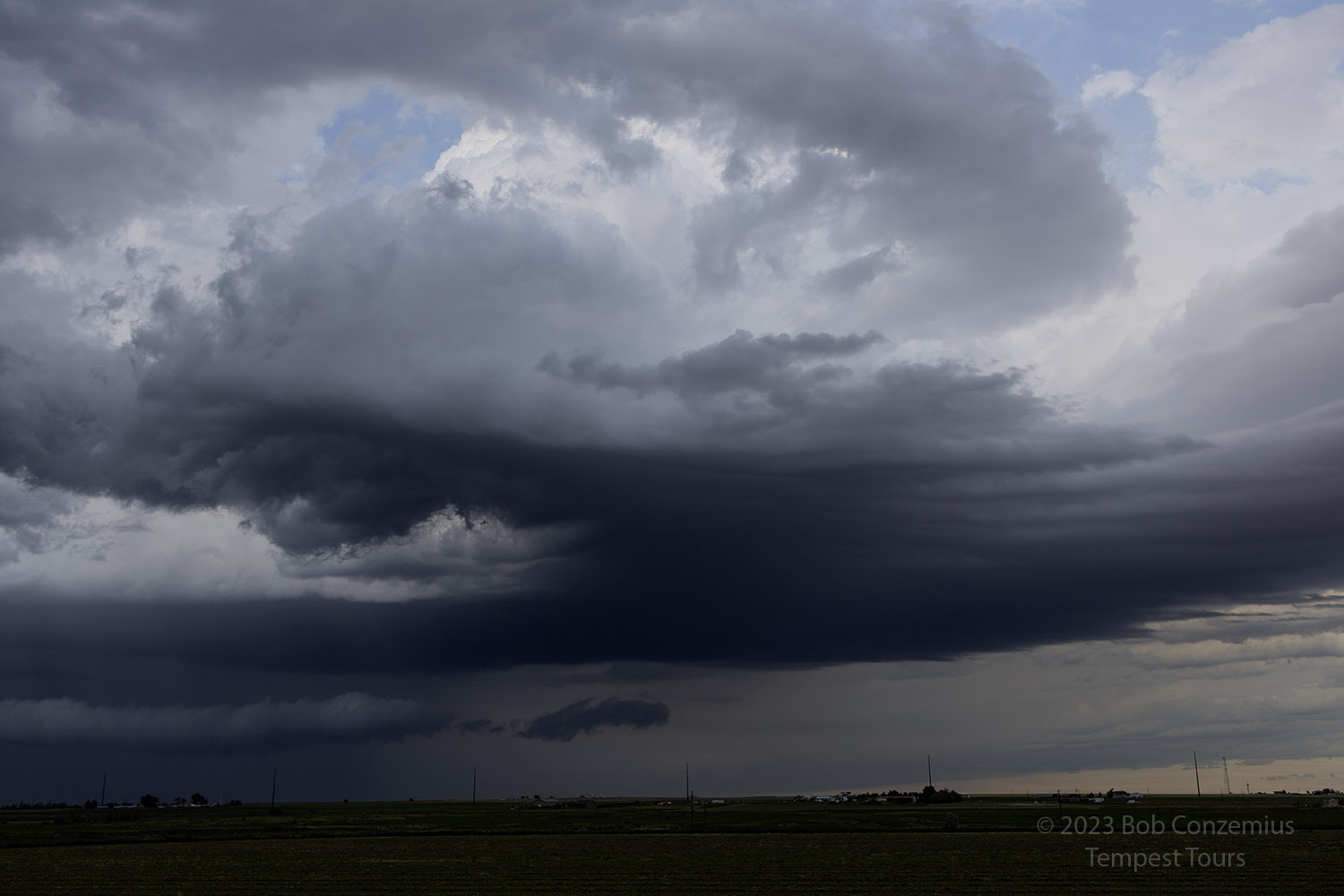
Indeed, as we got closer, and our visibility improved, we could see a gradually weakening updraft base, although it still looked supercellular. We exited I-76 at Keenesburg and took some pictures of the clouds around us as the storm mostly dissipated. Some other, weaker storms popped up, and we took some pictures.
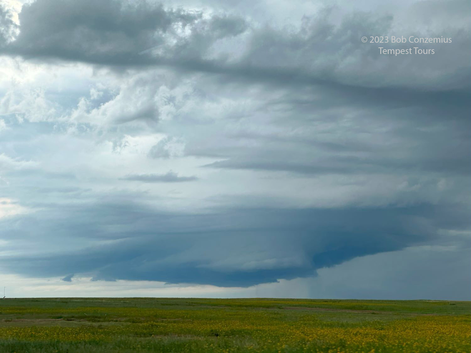 |
| Updraft base still looks supercellular but is shrinking. |
 |
| No doubt about it. The storm is dying. |
 |
| When we arrived, the storm still had remnants of an updraft base, but it was no longer severe. |
 |
| An updraft base near Keenesburg, Colorado. |
It was getting late in the day, and because it was July 4, and I had anticipated being in Burlington, Colorado at the end of the chase, I had already booked a room there at the Chapparral Motor Inn. We had several hours of driving ahead of us. On the way, a line of storms formed, and we had to punch through these to reach Burlington. When we arrived in Burlington, we were treated to a twin show of fireworks and lightning.
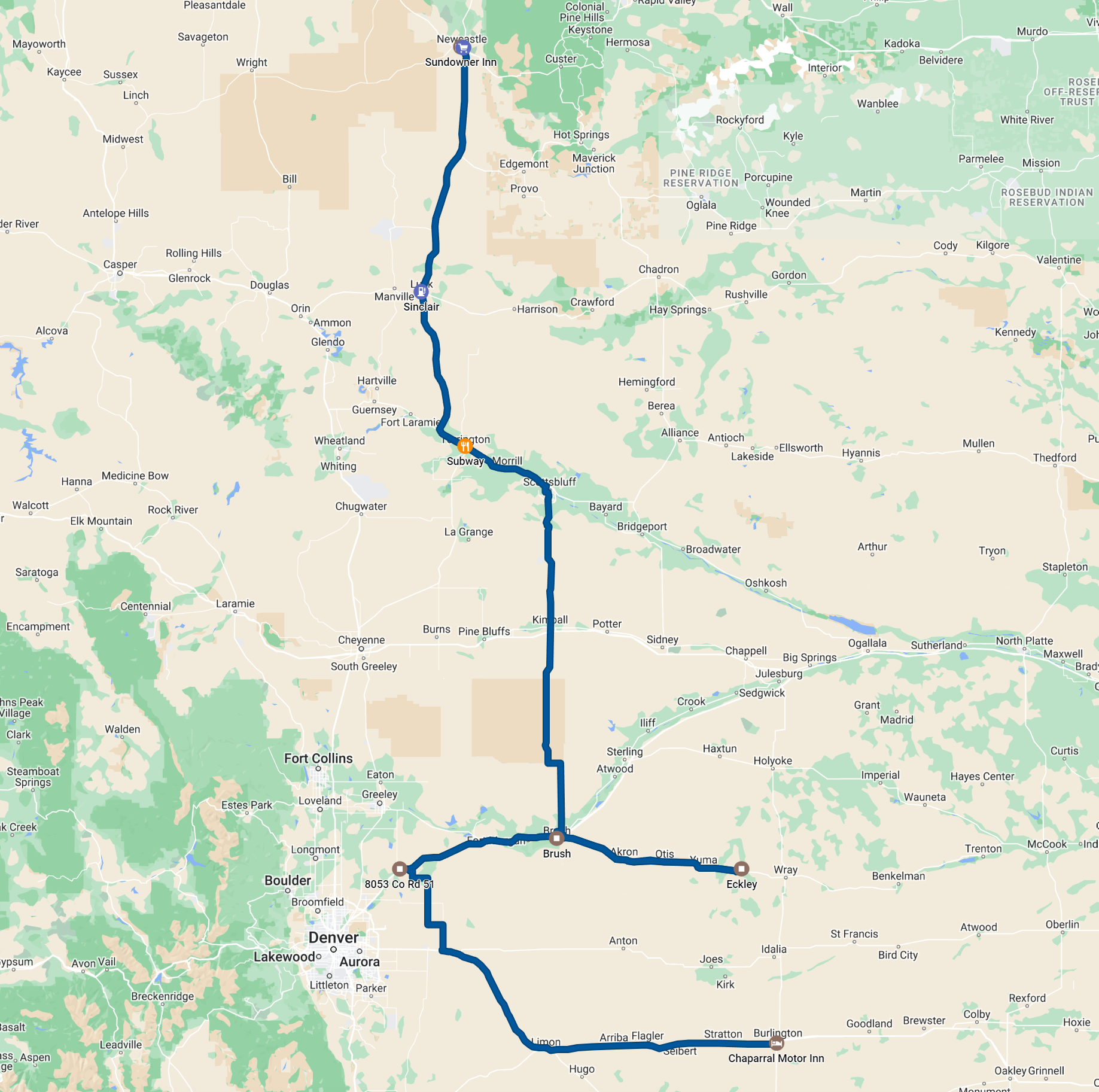 |
| Route for the day. About 575 miles of driving. |
Back to Storm Chases | Home