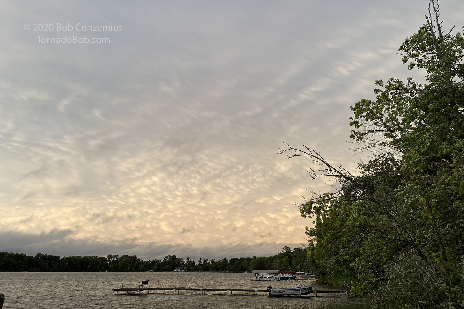
A robust cold front passed through Minnesota, and ahead of the front was an area of dewpoints into the 70s. CAPE was about 3000 J/kg (or greater) as I recall. Mid- and low-level winds were pretty strong, and that made from some significant wind shear. The forcing along the front would become somewhat linear, but the shear, and the relative lack of DCAPE (downdraft CAPE) would likely limit the extent of outflow from the storms, and that would make tornadoes more likely.
I left a bit early from work and headed south. An outflow boundary had moved through the area from storms earlier in the day, and temperatures had been only in the 60s, but the airmass recovery was pretty fast with the strong southerly winds moving in. At around 5:00 PM, the outflow boundary was retreating quickly northward, and to my surprise, made it up to about U.S. Highway 2 in Minnesota. I could have seen tornado-warned storms from much closer to home.
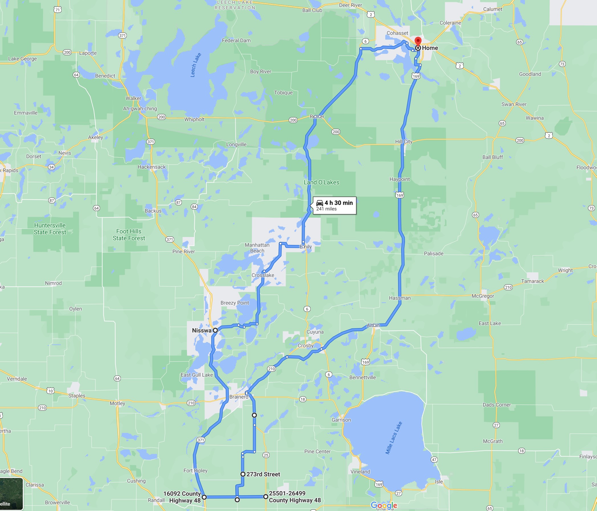
I got through Brainerd, and by that time, the storms approaching from my west were fairly linear, but there were inflections in the line, and one storm looked a little stronger than the others, so I continued south toward that storm. A trip down Highway 371 would risk taking me into the core of the line before I reached my target, so I took Highway 25 instead then came back west a little to County Road 45. I took 45 south until a found a decent view of my target storm.
Just as I got out of the car to take some video, an EAS alert came over my cell phone: "tornado warning in this area". I had arrived just in time! I checked radar and found that the warning was for the next cell to my south, and it was not to far-- just a little behind and around the rain area to my west. If I went another couple miles south, I would be in the path of the mesocyclone and have a good view of it.
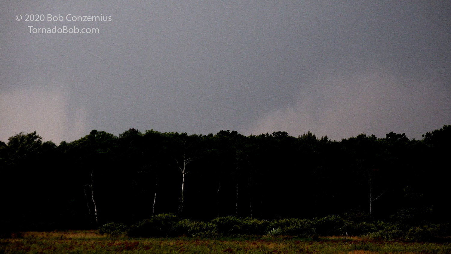
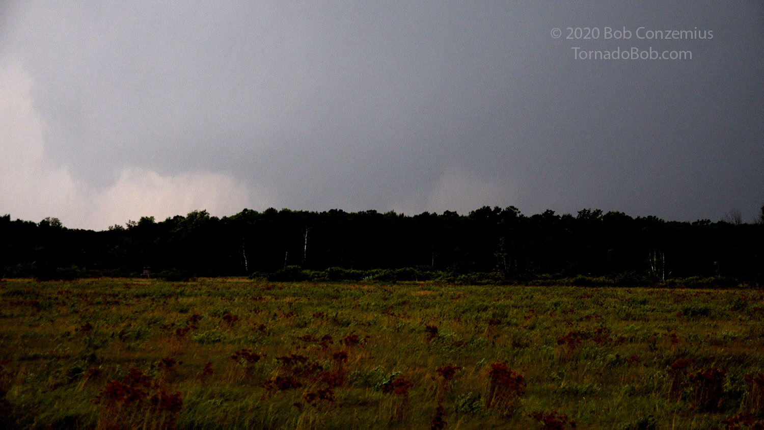
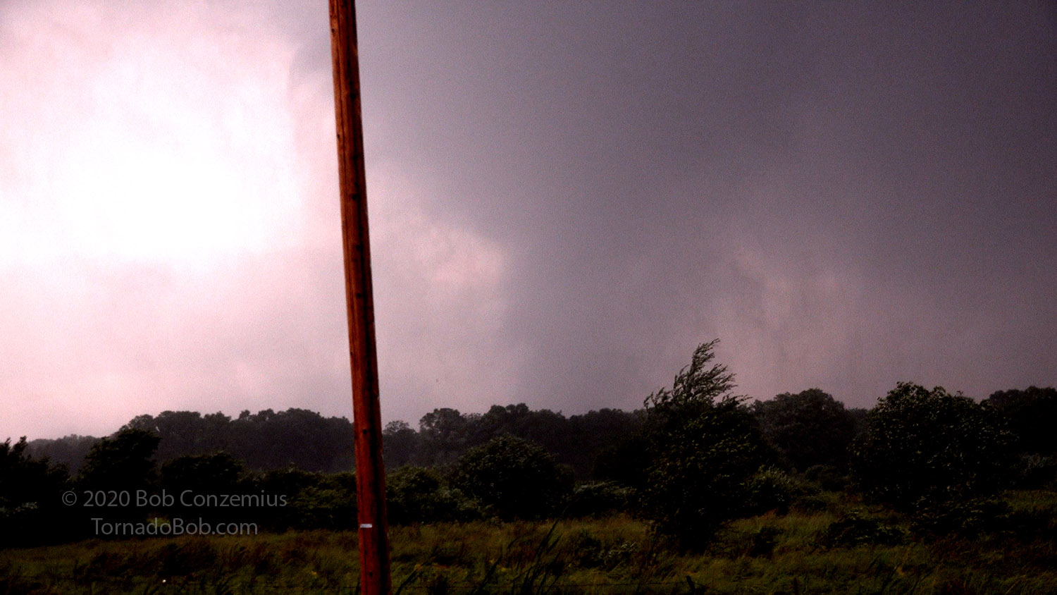
I drove south so that the rain area no longer blocked my view, and I found another field with good visibility to the west. As soon as I parked on the shoulder and looked to the right, I could see a potentially tornadic area. There was a lower base there, but it was still a little obscured by both trees and rain. I could see what could be a funnel, but upon looking more closely, I could see that it wasn't at the center of rotation, so it probably wasn't a tornado. I decided to stop video and take a couple stills with my phone to post to Twitter. After another minute, I started the video again, and this time, the rain had moved more out of the way, and the storm was close enough that I could see the center of rotation, and there was tornadic motion underneath it. I filmed for about 20 more seconds then hopped back in the car to get a little farther north, thinking it would get obscured by rain if I let it get too far north of me.
Cell phone shot I took of the storm immediately before the tornado developed.
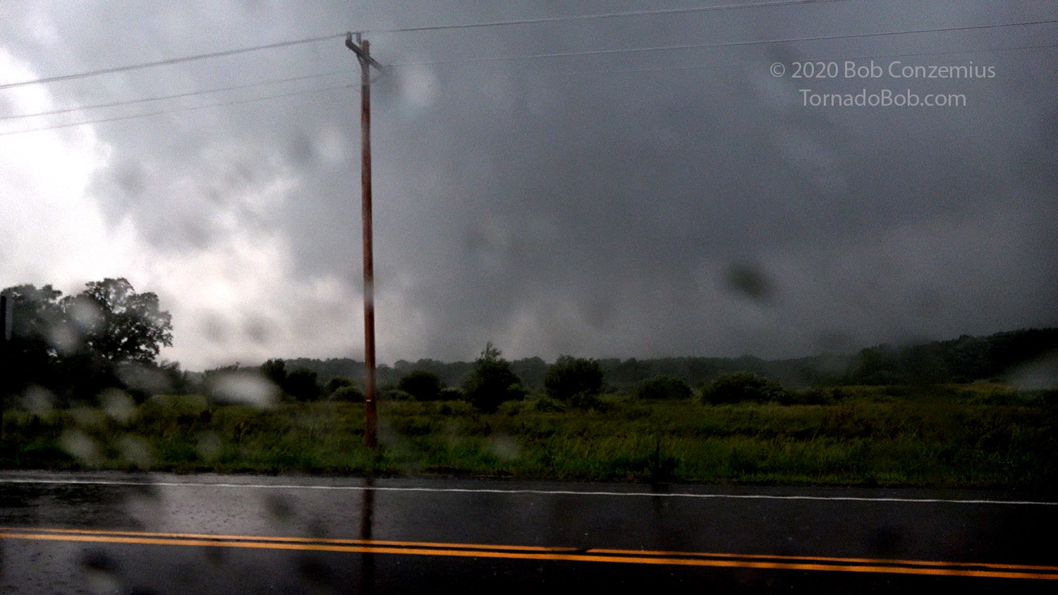
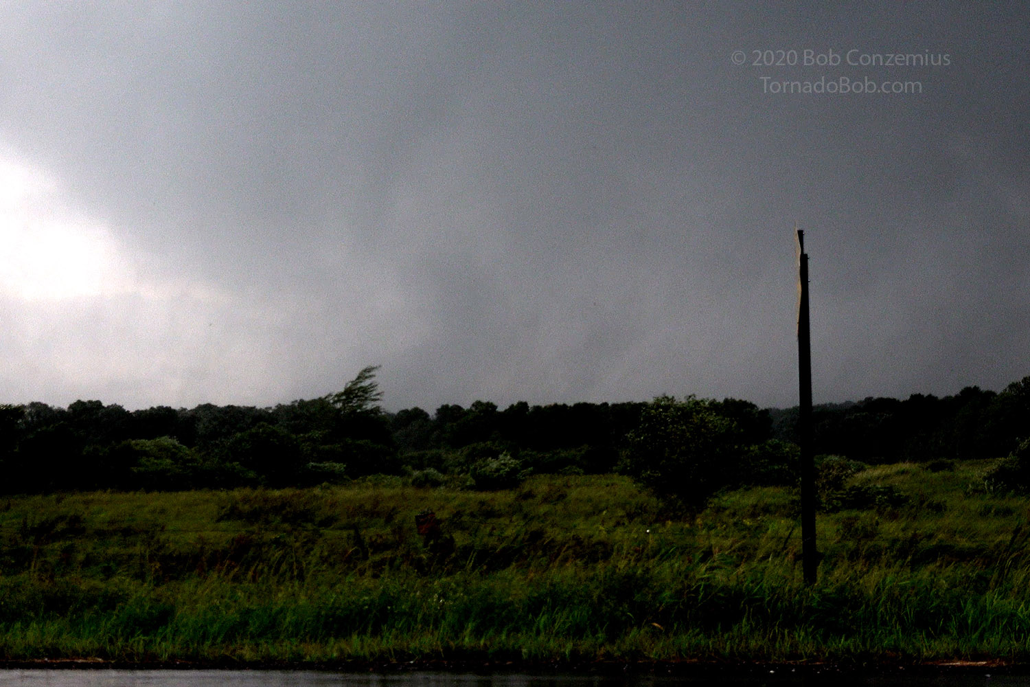
A moment later, a tornado emerged.
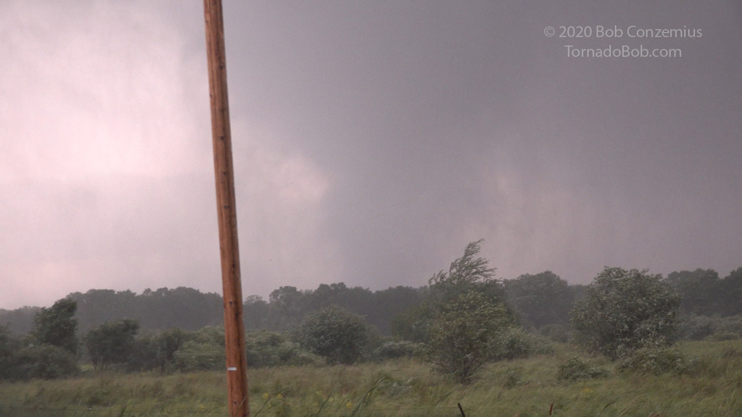
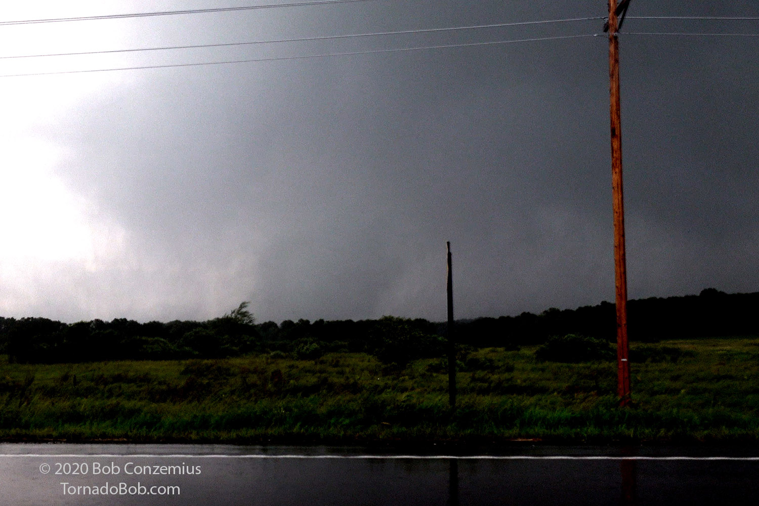
A more distinct condensation funnel now.
Silly me-- I did not have the National Weather Service 800 number on me and did not have my Skywarn frequencies or my amateur radio in the car, so I called 911 to report the tornado. I stopped again about a half mile north of County Road 48 and waited for it to approach. By this time, it could easily have dissipated, but as I watched, I could see there was still a tornado there, and it was coming right at me. I made a silly attempt to back up slightly as I sort of thought I was in the path, but had I really felt I was in danger, I think I would have just dropped the video camera and turned around. The backing up was so slow and for such a short distance that it would have made no difference. I was maybe 400 yards out of the path, and the tornado was not very strong anyway.
When I got north, and the action area got close enough, I could see the tornado again.
Here it is, zoomed in a bit more, and no contrast enhancement.
Ragged condensation (not always condensation all the way to the surface).
A power flash.
A narrow funnel can be seen aloft.
The condensation reappears for a bit at the surface.
I watched as it moved toward the field next to me, but at the last moment, it became obscured by rain, and I lost it as it entered the field. Right before that, however, my video revealed trees being knocked down in the woods immediately to the west of the field. Rain quickly wrapped in behind the tornado-- more than I would have thought based on the backlighting. I crept a bit north to try to keep with it, but it dissipated just to the east of County Road 45 (according to the NWS damage survey). Realizing the tornado was gone, I turned around to catch another storm.
The tornado is about to get into the field next to me, but rain comes in to obscure it.
I started after a strong mesocyclone to my south, but I quickly realized that with its speed, it would reach Mille Lacs Lake before I could, so I would have no chance of catching it. I decided to go back and look for damage. I found a farmstead that had received some light damage. I took a little video there (with permission from the owner) then headed back to Nisswa for an appointment I had with my family.