July 26, 2021 Supercells
Boy River and Grand Rapids, Minnesota
Well, today presented a chance for a local chase, and I bit at the opportunity. There was a rare intrusion of high CAPE air into northern Minnesota, and in an otherwise exceptionally dry summer, it was nice simply to have a chance of rain. Stangely, the Duluth radar had picked this day to fail, and we only had radar data from the Mayville (Fargo/Grand Forks) radar. As I finished up my normal work day, a tornado warning was issued for a storm crossing Red Lake. KMVX radar also hinted at an interesting storm moving into northern Itasca County, but the distant radar was only able to sample the highest levels of this second storm. With its shape, my gut feeling was that it could be a really interesting storm (more on that below), but the "tail end charlie" storm was the one over Red Lake, and it was tornado-warned. One generally does not pass those up.
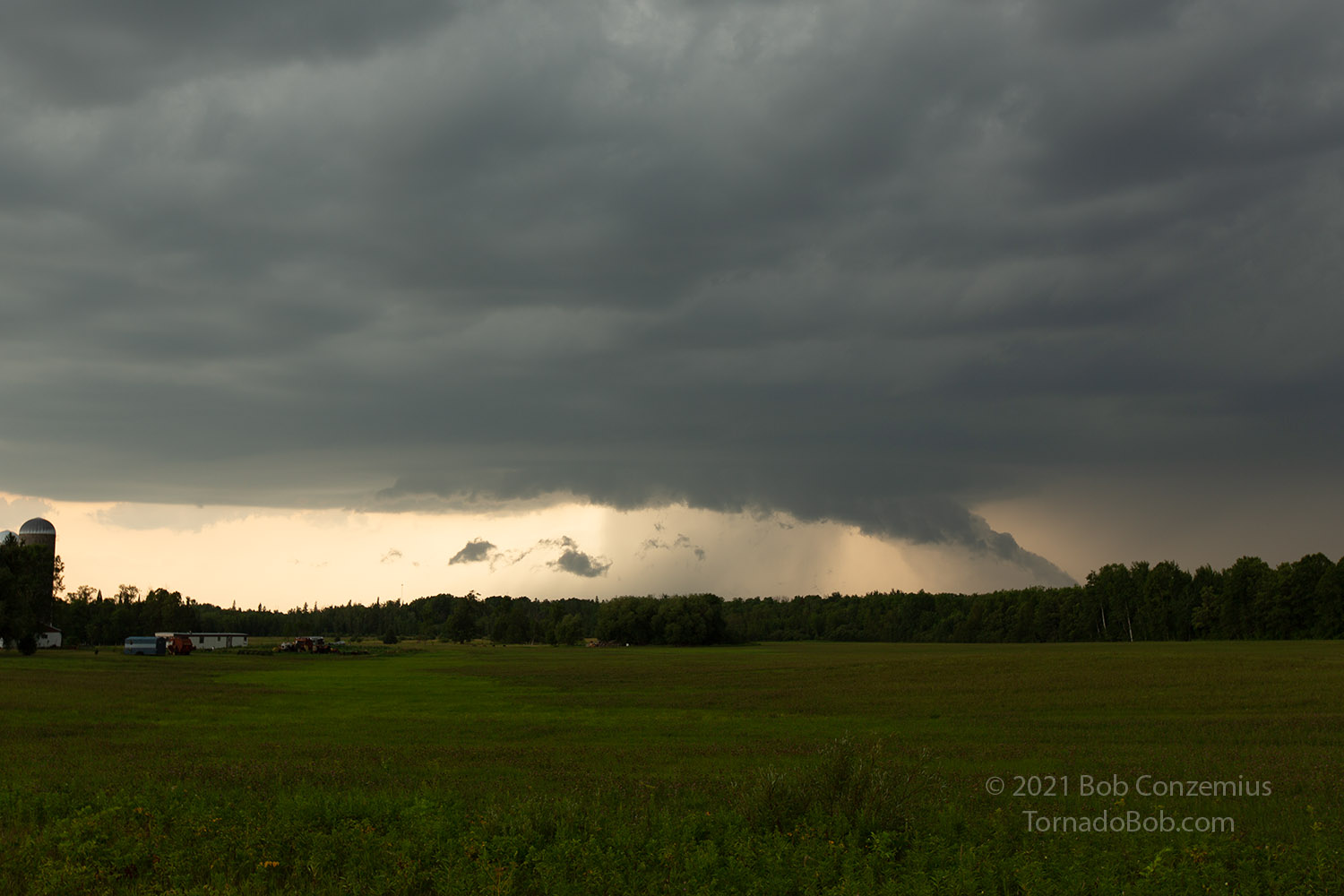
I drove west to Boy River where I knew there were some openings in the forest, and I watched the storm approach. Not surprisingly, I found a circular updraft base with a wall cloud. The storm was definitely a supercell according to its radar presentation, but it looked less visually dramatic in person. Maybe the low-levels were a bit too obscured by surrounding clouds.
I watched the storm approach and planned an exit route to get me out of the way before the tennis ball hail hit. Looking at the lack of low-level rotation on the storm, I was bewildered that it had apparently produced a tornado in the town of Red Lake. In fact, there were three tornado reports with it. If the environment had supported a tornado, it would probably have supported more visual rotation from my perspective. There were still some pretty large hail reports coming in as I watched from my position, but the low levels really weren't spinning. The storm reports indicated that, at least at the end, the tornadoes would likely have been wrapped in rain and heavy downburst winds. All had dissipated by the time I could see the storm.
 |
|---|
| The tornado-warned storm. The storm produced 3" hail at Bena when I took this picture. |
A left-moving storm developed to my southwest and was moving in my direction. I needed to move southeast. During this move, I became concerned about the storm moving into Grand Rapids. It was moving southward fairly quickly (deviant motion), and I was curious to have a look underneath it, but I didn't want to give up on the storms I was already on. It just looked murky and dark to my east. I could not see any features of interest.
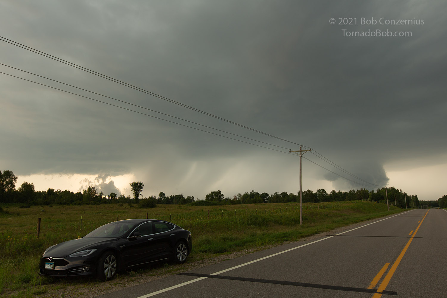
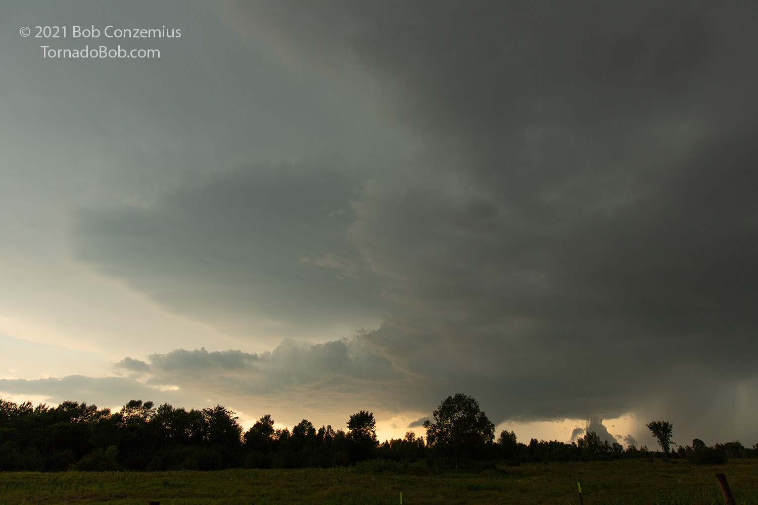
I made it to a field northwest of Remer where I had viewed the supercell that produce the April 29, 2013 tornado, but this time, the cloud bases were much, much higher. The storm still had a wall cloud and some nice lightning. The left-mover was just to my west, but it didn't look like a left-mover because there was a bit of updraft base on its south side.
 |
|---|
| A wall cloud is still visible with my original storm. |
 |
|---|
| The supposed left-mover to the west (according to radar) has some updraft on its southern flank. |
It was at this time that I got a Ring notice on my phone that my home had lost power. It was about this time that Grand Rapids was really getting hit pretty hard. I would have had a better storm experience had I just stayed home! Some very strong straight line winds lined up directly for Grand Rapids and hit the town pretty hard. There was very little damage east or west of town, but there were numerous trees down within the city limits.
As far as my more proximate storms were concerned, they weakened pretty quickly, and I soon found myself west of Remer without any storms around me. I decided to head home. When I turned east on County Road 63 from Highway 6, I started to see an occasional tree down here and there along the road. By the time I turned onto Golf Course Road, there were more numerous trees down, and as I got to my neighborhood, there were quite a few. The woods behind my house was a total mess, and a couple trees at the edge of my yard had limbs down. Otherwise, on my own property, there was little damage. In the Forest History Center, where I like to go on runs in the evening (but not this time of year-- there are way too many deer flies), the trails were impassible from all the fallen trees. It would be early winter before all the trails were cleaned up. Definitely, it was one of the strongest two storms to hit my house in the past 16 years.
 |
|---|
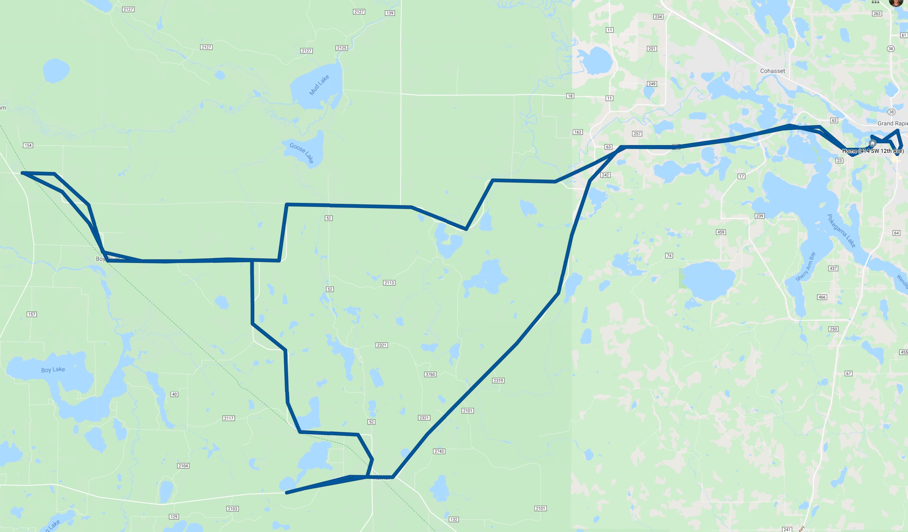
| The chase route for the day. |
Back to Storm Chases | Home