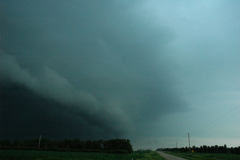
Shelf cloud near Britton, SD.
This was another frustrating day in which our chase strategy backfired on us. We chose to look for tornadoes in an area with backed surface winds associated with an outflow boundary in northeastern South Dakota and west-central Minnesota. The first storms developed just to the southwest of Aberdeen, SD, and I was worried they were "sucker" storms, so we stayed with newer, developing storms in our vicinity, farther to the east-northeast. One of these storms crossed the outflow boundary and died, and another was soon caught by the "sucker storm" from the west. When we continued to target the second storm, we were soon greeted by a dark, menacing shelf cloud.
Shelf cloud near Britton, SD.
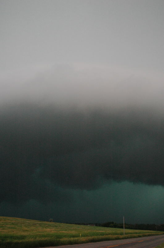
Another view of the shelf cloud with extremely heavy rain immediately behind it.
At this point, we made a severe tactical error. The decision was made to zig-zag north and east to look, perhaps, at the northern end of this shelf cloud. This cost us precious time, whereas we should have blasted directly east as soon as we saw the thing... we had a pretty good road to the east-southeast. Instead, we got on a somewhat curvy road on which we could go only about 50 mph, and this was not fast enough to put any distance between us and the extremely heavy rain less than a mile behind. We were quickly overtaken by the blinding rain and wind and had to stop to let the storm pass. We further delayed ourselves by targeting the bookend vortex to our north, which was unreachable through the rain, and we had to drive through flooded roads to attempt such an intercept. These errors completely took us out of the game for any storms that might develop to the south along the dryline/cold front. Indeed, these storms developed, and three of them were tornado producers
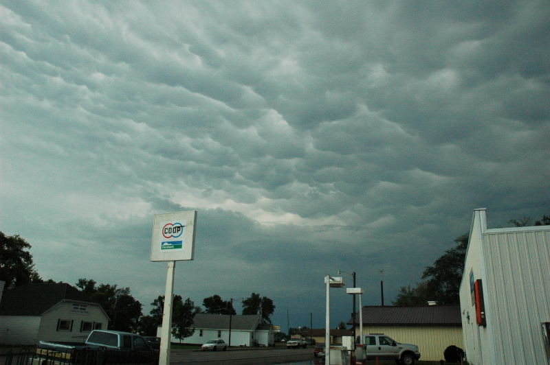
Mammatus on the rear flank of the storm that overtook us.