July 6, 2022 Supercells
Central Montana
This was the fourth day in a row with a severe thunderstorm risk over central Montana, and once again, we were beginning the day along I-94-- this time in Glendive (for the second time). It was sort of a wash, rinse, repeat cycle this week. The storms would, yet again, develop over the mountains and drift east into the Plains. We did our weather briefing at the normal time and headed westward on Highway 200, back the way we came the evening before.
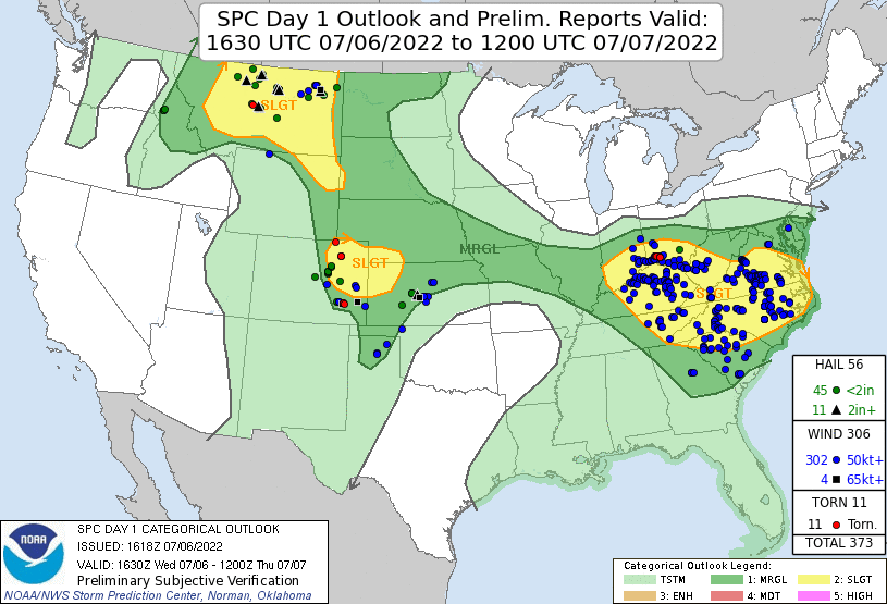 |
| SPC 1630 UTC Day 1 Outlook with verification. |
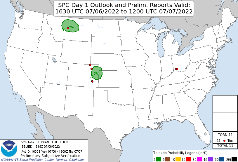 |
| SPC 1630 UTC Day 1 Tornado Outlook with verification. |
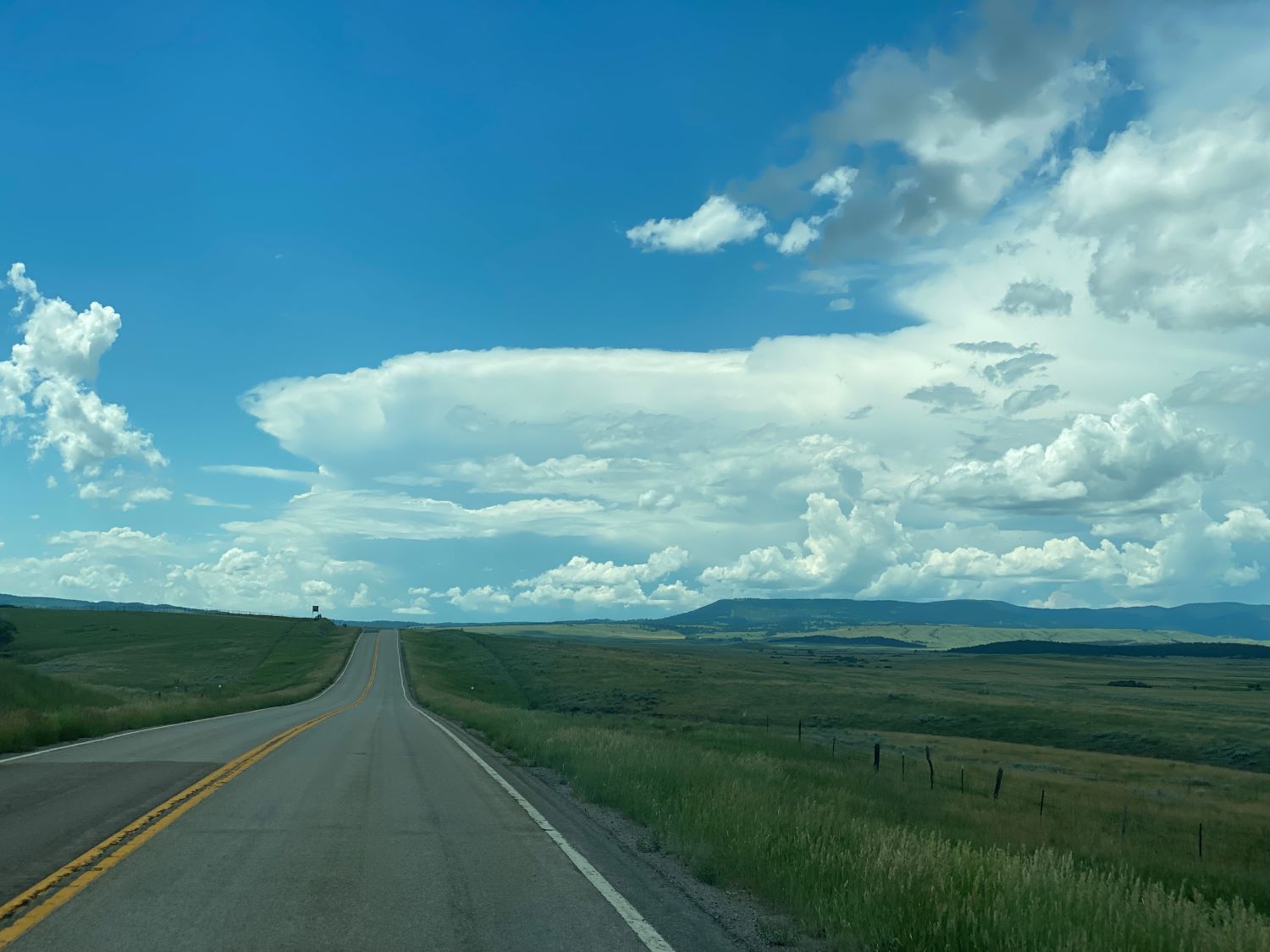
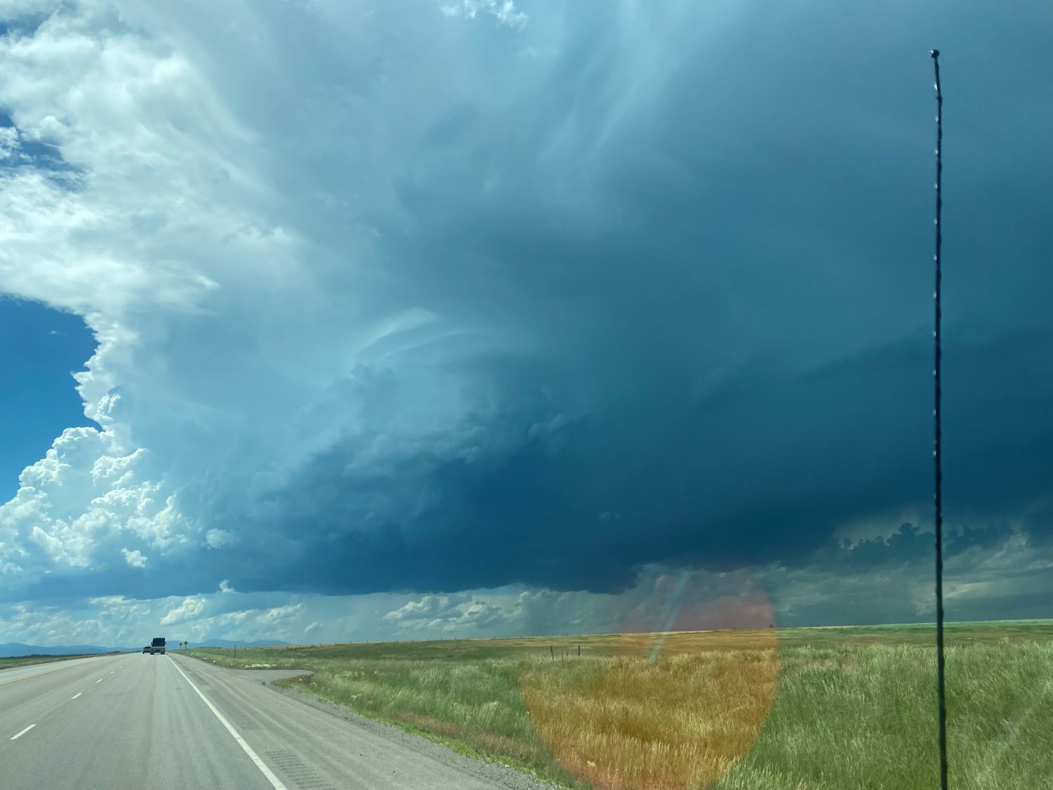
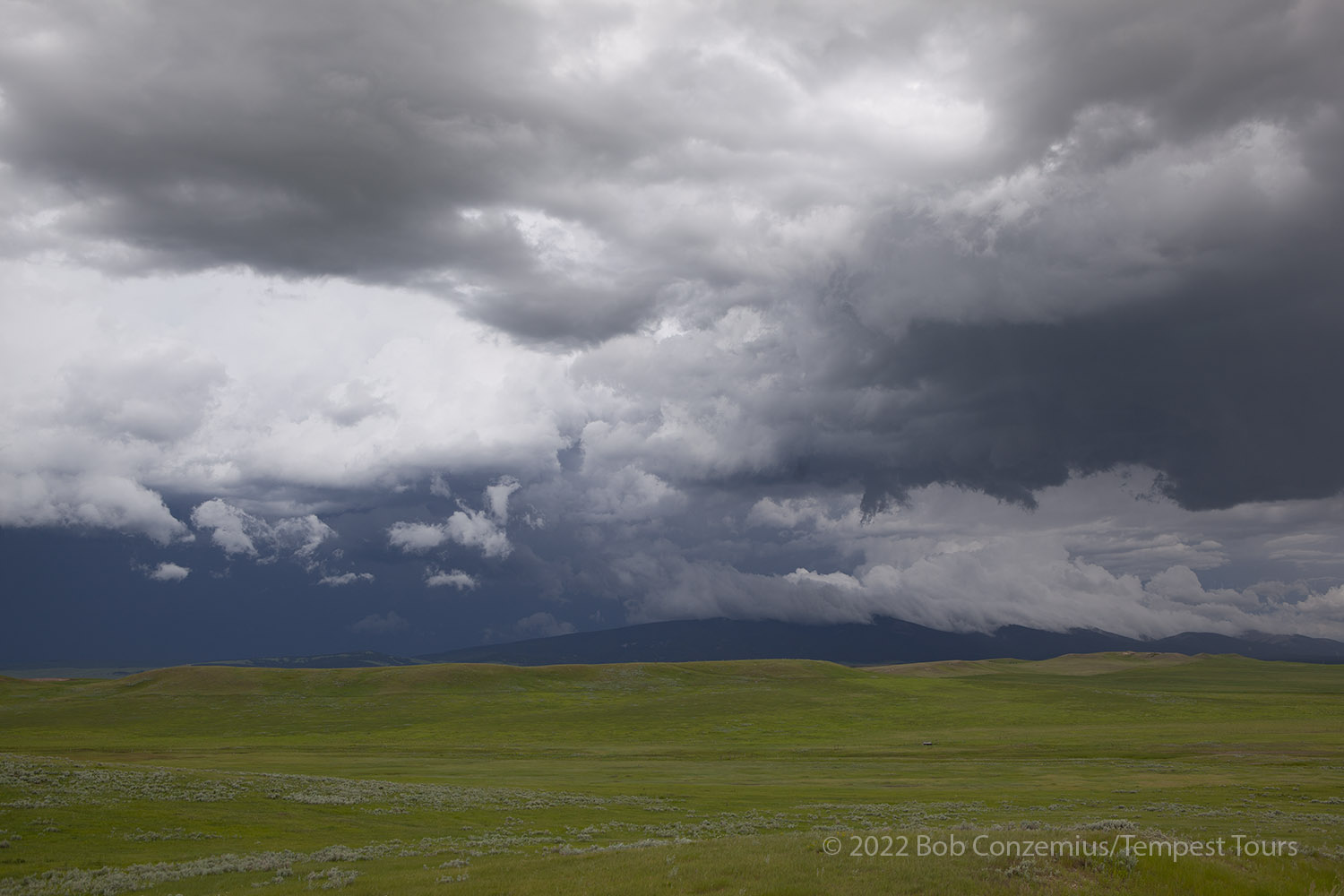
The storms got going a bit early today. We were still more than a hundred miles west of our target when we could see an anvil building on the horizon ahead. I took a couple pictures to document the initiation.
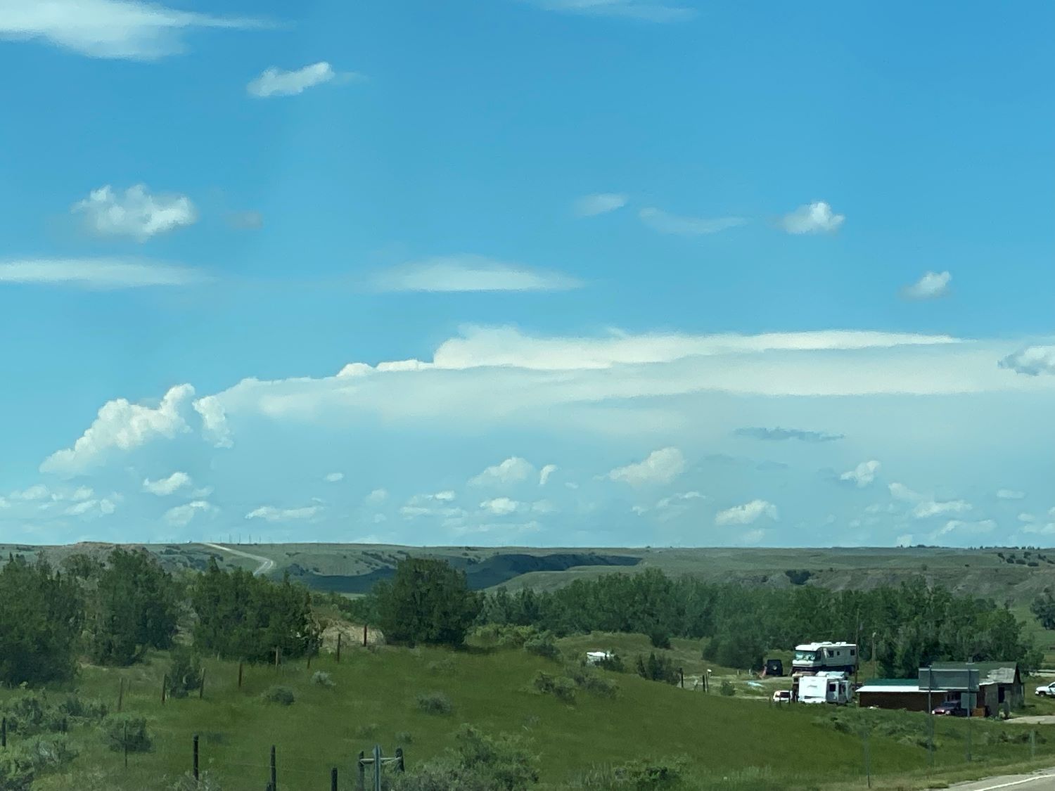 |
| First look at the early storm at 1:09 PM. |
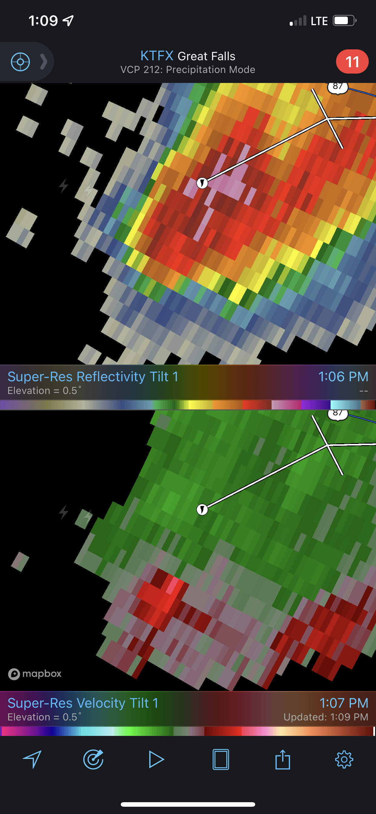 |
| Radar revealed a significant rotation with the early storm! |
Radar showed some rotation with this storm! Now, I now felt like we were way behind, but we were a long ways away. A funnel cloud report came in, and this funnel cloud was eventually confirmed as a "non-impactful tornado". I'm not sure if any damage was found. The storm events database has it with a 1.26 mile path length and a width of 50 yards. It was rated EF-0, and I don't think any damage was found. It was recorded as a tornado because the funnel extended so much of the way to the ground that there was little chance it wasn't in contact with the ground.
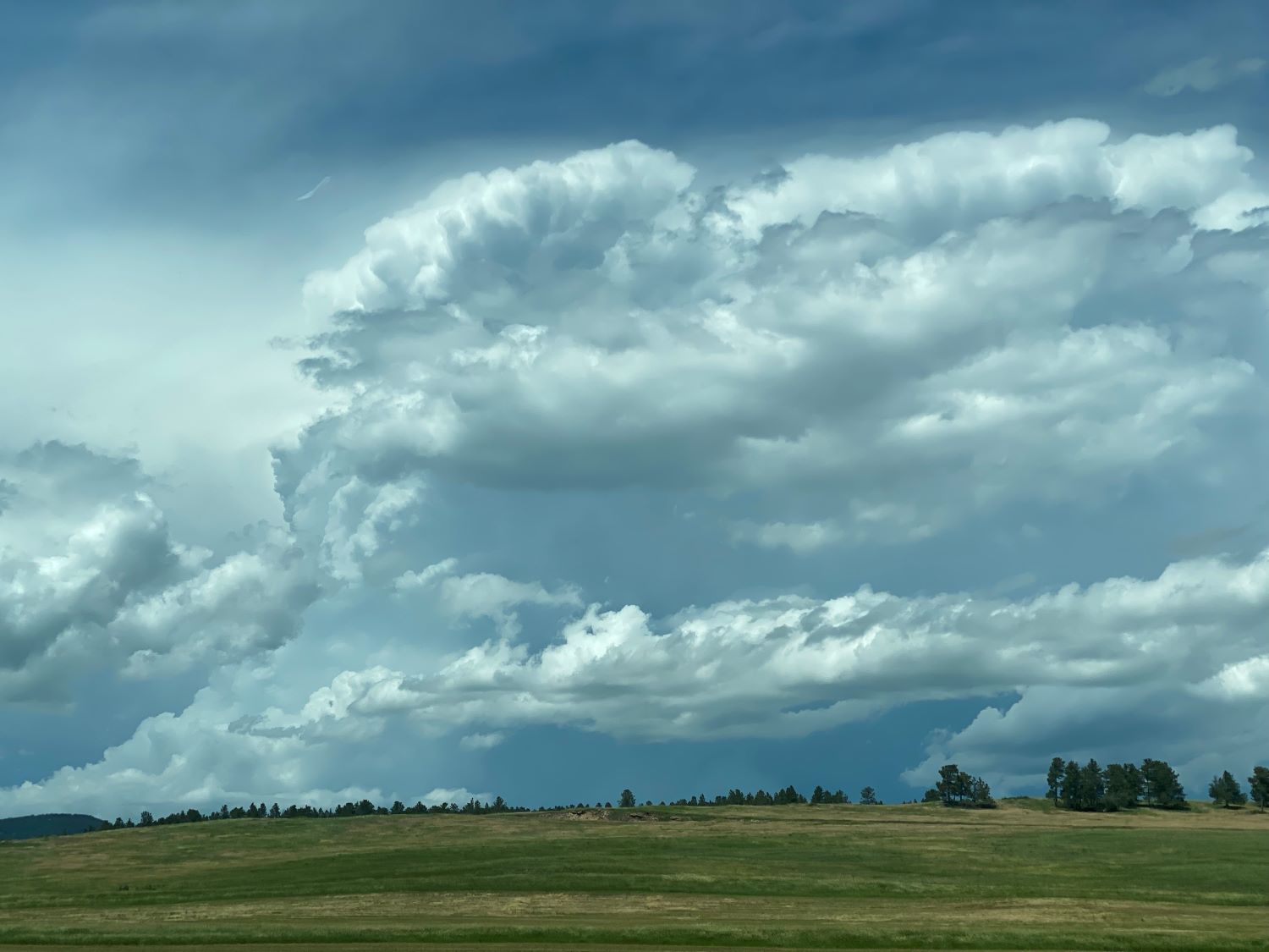
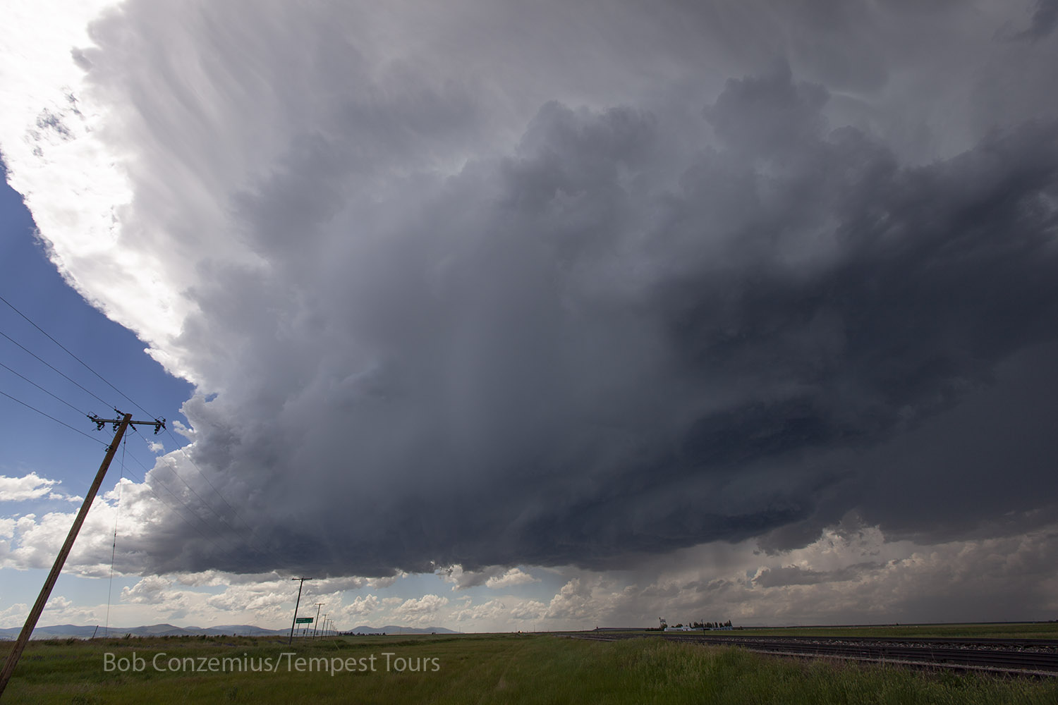
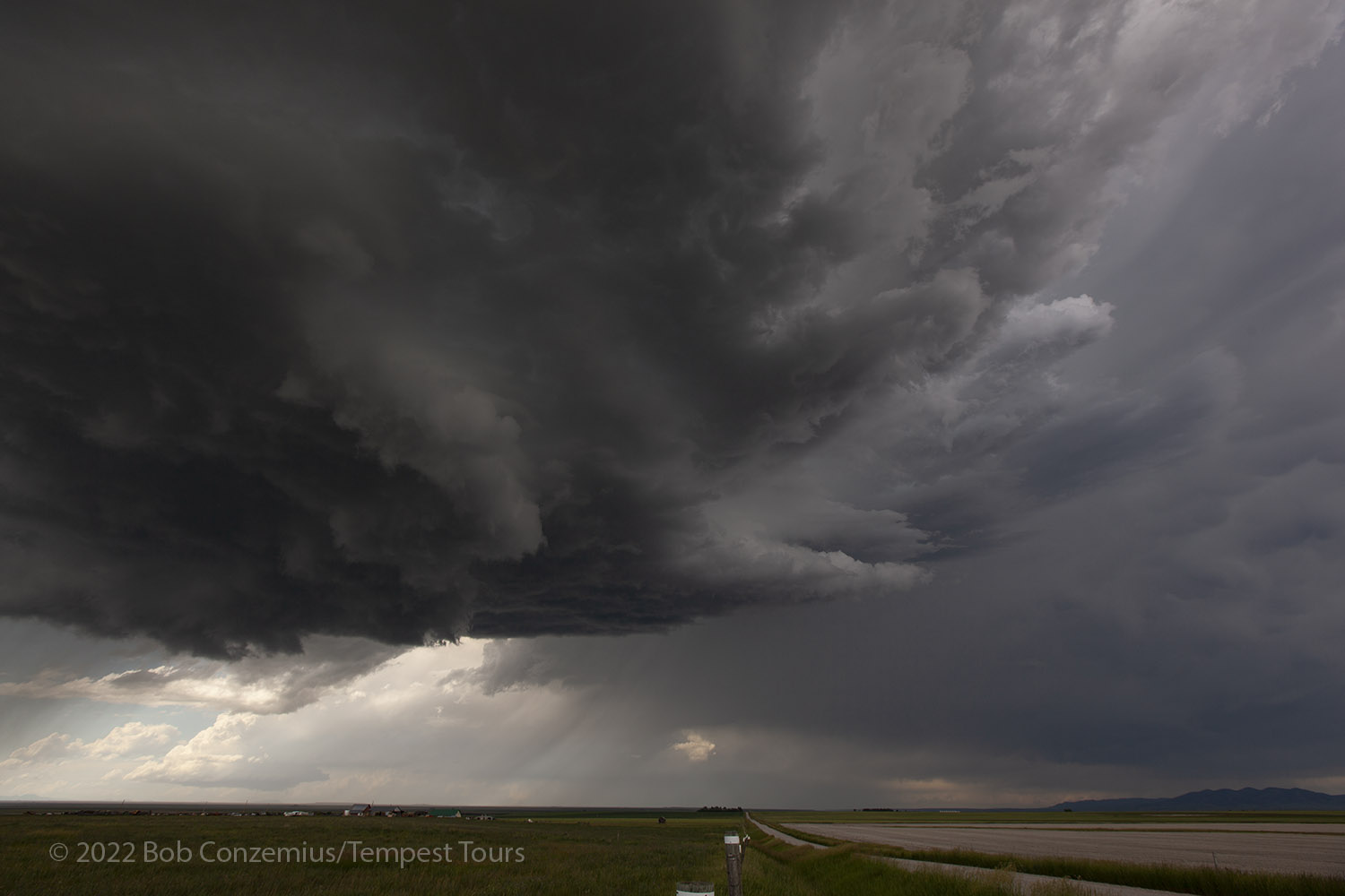
The storms were definitely not moving fast. An hour later, we were west of Grass Range, which was where we had intercepted storms the previous two days, but today, the storm was still well to the west of us. As we continued west toward Lewistown, additional cells developed around us, but we kept on our original target because that was the storm that looked strongest on radar.
 |
| Tornado-producing storm an hour later (2:14 PM), viewed from west of Grass Range (between Grass Range and Lewistown). |
 |
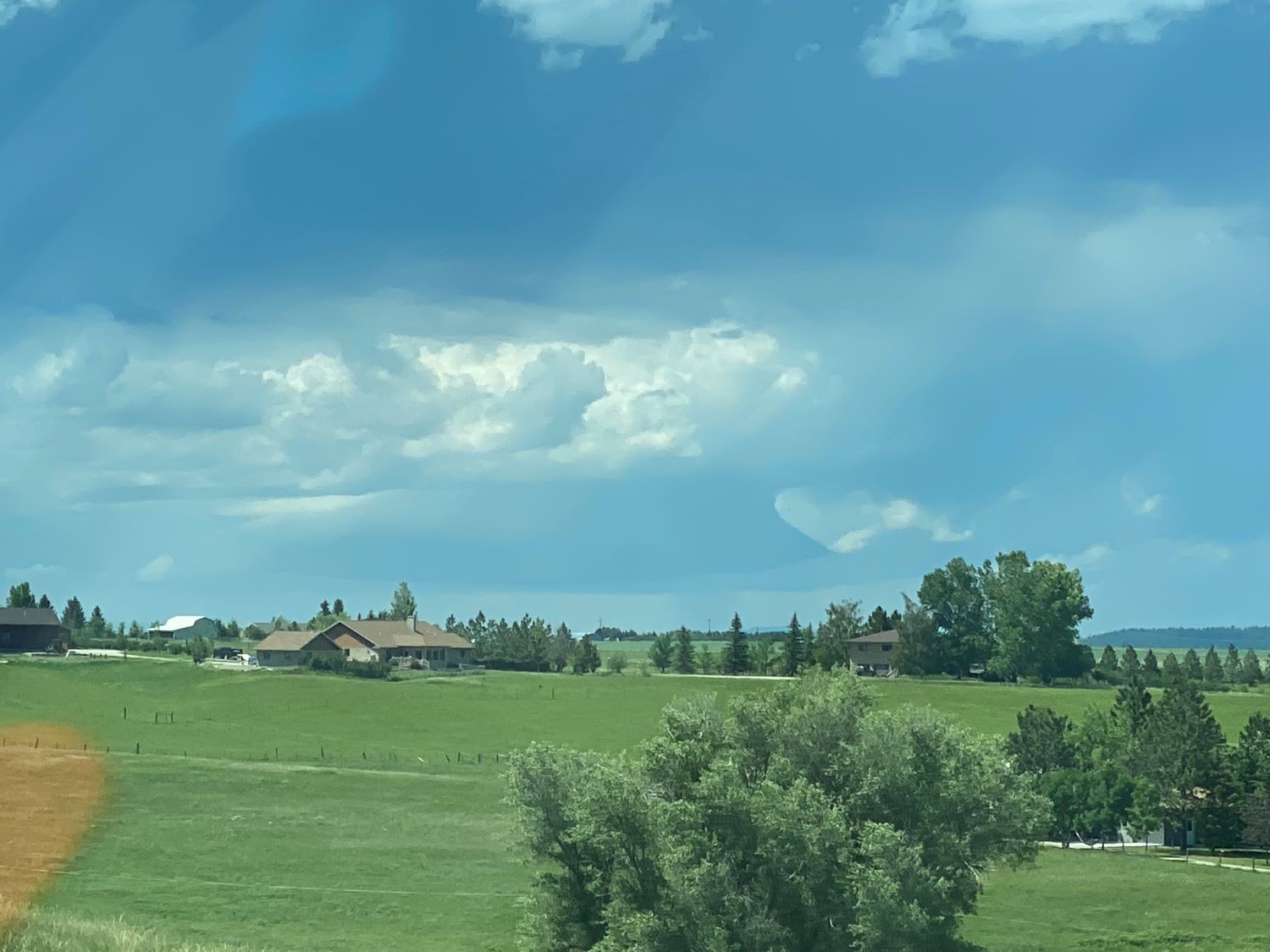
| A few minutes later, there was another cell to our north. It also looked interesting. |
 |
| At 2:40 PM, as we continued west, we could see this flanged updraft in the distance (northwest of Lewistown). |
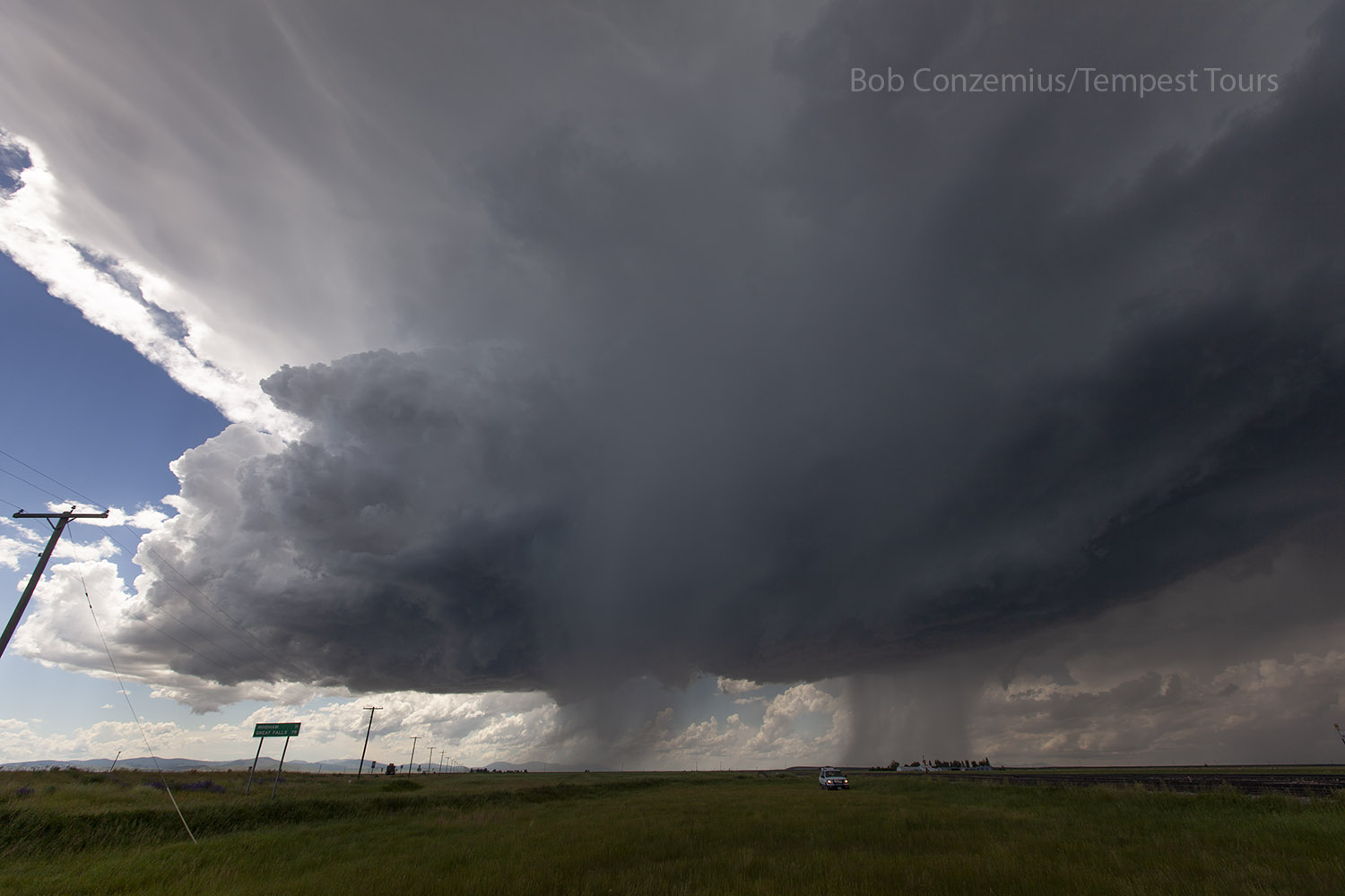
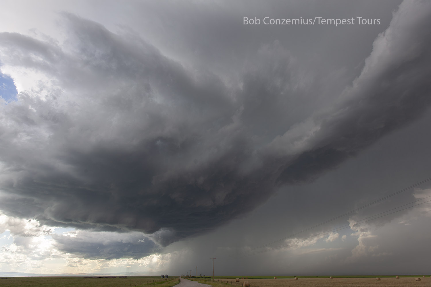
We continued past Lewistown, then through Moore, and we finally caught up with our storm near Moccasin.
 |
| At 2:48 PM between Lewistown and Moore, looking west. |
 |
| At 2:57 PM about halfway between Moore and Moccasin, looking west. |
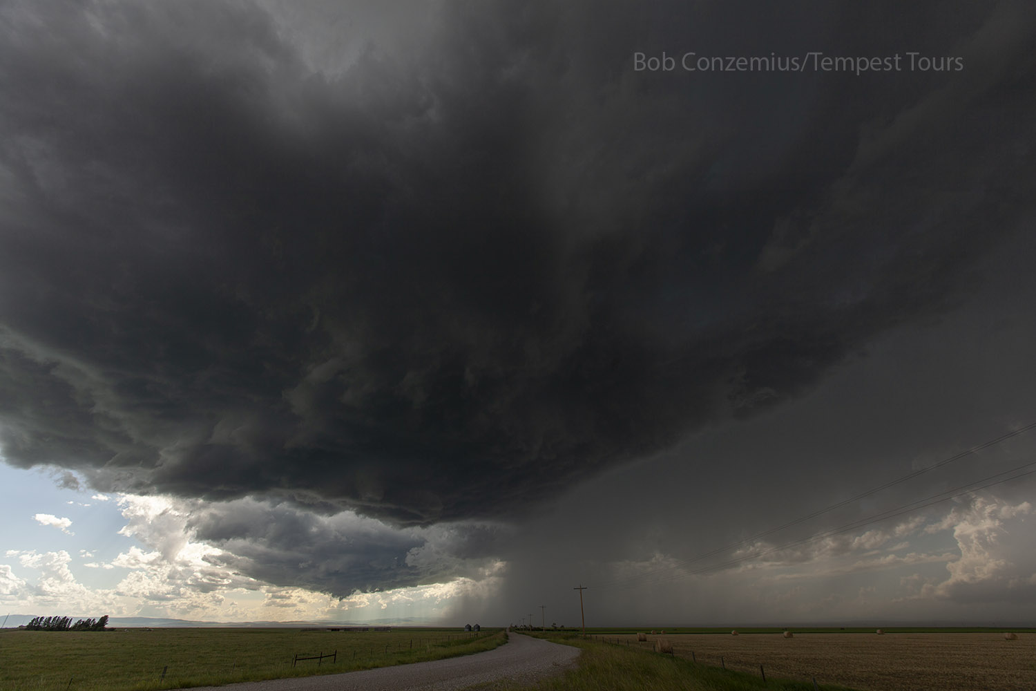
We stopped on the west side of Moccasin and set up tripods and did photography for a while. Not long after we arrived, the storm produced a funnel cloud. It sounded like a freight train because there was a freight train assembly happening in the tracks next to us. We struck up a conversation with the crew, and they said that they had seen the "other funnel cloud", which was a bit bigger than the one we were looking at.
 |
| We finally found the storm at Moccasin. |
 |
| The storm has a little bit of a funnel behind the rain area to the left. |
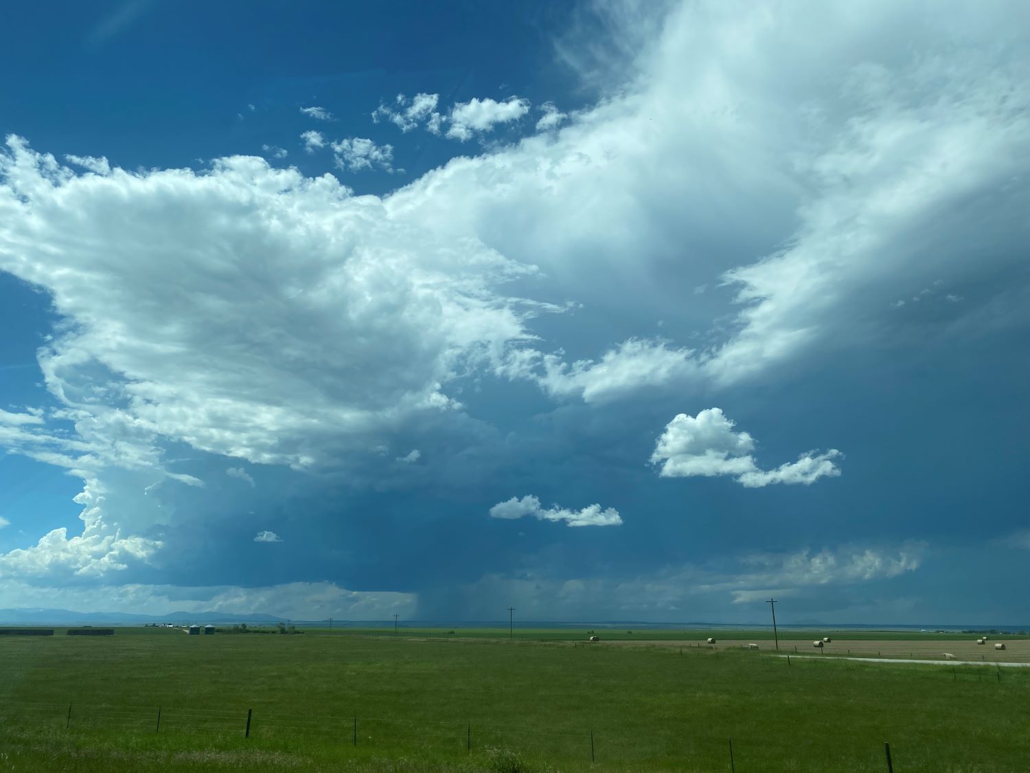
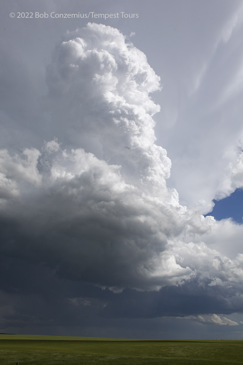
The funnel did not visibly reach the ground, but it may have gotten nearly halfway down when it was roping out. There was a very thin, fairly translucent funnel that extended down from cloud base a fair bit. After this, the storm cycled and produced another rotating wall cloud but no more funnels. We followed the storm east and southeast for quite a while. Our next stop was east of Hobson, where we shot some photos of our updraft base, along with a distant LP supercell, around 4:00 PM.
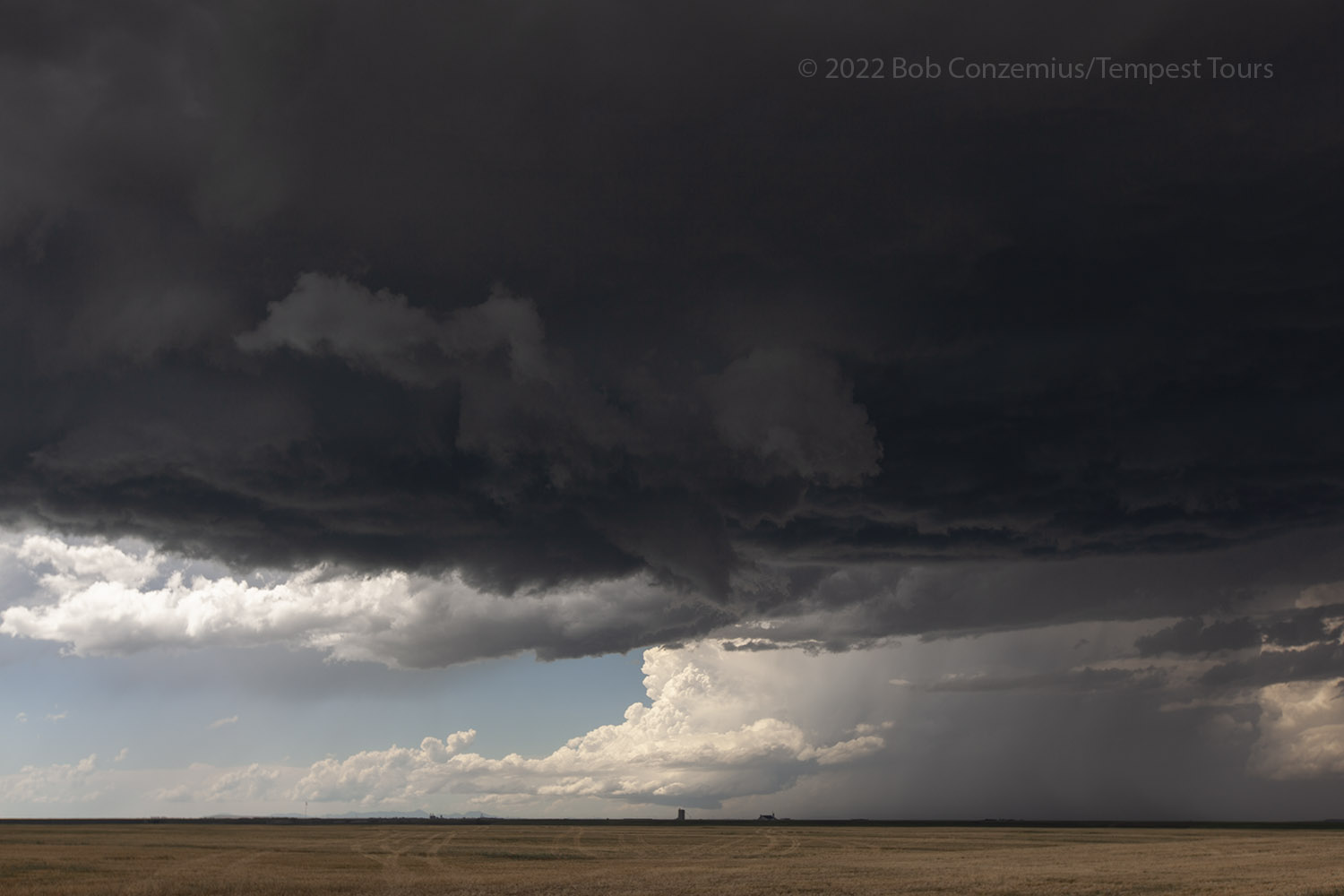 |
| Around 4:00 PM, our storm base plus a distant LP supercell to the north. |
 |
| Our base gets a little darker and more ominous with occasional areas of rotation. |
 |
| Suddenly, there appear to be two updraft bases. |
 |
| Both bases get a bit darker and more ominous. |
We continued back through Moore and along the northeastward stretch of road between Moore and Lewistown. The road would soon get north of the storm path, and if we kept going, we would be on the wrong side of it. We turned around and headed back to Moore and then south on U.S. 191 to look at it from behind and observe the front lighting of the sun upon our storm. There were some areas of rotation on the back side and some nice rainbows but no funnels. We let this storm go and then continued southward through Judith Gap and got caught by another cell from the west. It hailed on us for a few minutes as we drove through.
 |
| Now behind the storms south of Moore. |
 |
| Probably somewhere south of Judith Gap after we pass through core. |
After we took some more photos in the Judith Gap area, we headed south to find rooms in Billings. We found a Super 8 there, which was not in a particularly convenient part of town from where we were coming. It suited our needs for the night and was a relatively low budget hotel.
 |
| This is the text that appears underneath the picture. |
Back to Storm Chases | Home