Bust in Northwestern South Dakota
On the final day of the tour, the models were showing another chance for supercells along with a limited chance of tornadoes in northwestern South Dakota. The evening before, the latest model runs were showing some pretty good CAPE and low-level turning of the winds, but that turned out not to be the case, however, as the following morning, the data did not show that developing, and the models had pulled the best-looking area back into Montana. We needed to get to Denver by the middle of the following day, so we could not drive north or west of Buffalo, South Dakota.
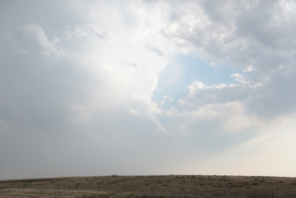
Some storms soon developed just to the northwest of the Black Hills, but they struggled. The data still indicated the best storms should be up near Buffalo, and one soon started to develop there, but it was getting late. I had us hang around there for what seemed like a very long time, as I watched the storm pulse up and down, worried that if we left, it would suddenly strengthen. That never happened, and we set our sights for Chadron, Nebraska where we stayed overnight on our way back to Denver.
Little did I know at the time, but the following day would be a chase day in northern Minnesota. I wish our tour had gone a couple days longer because I would have taken the group up there. A storm developed west of Bemidji and laid down a 15 mile swath of tree destruction from Bemidji through Grand Rapids along and north of U.S. Highway 2. I returned home late on July 4th with power still out, a broken deck side table, and part of a tree down in my back yard. Much of the neighborhood had it much worse as trees were blocking the streets, and a couple houses actually had to be rebuilt due to the number of large trees that fell on them.
 |
|---|
| Struggling storm north of the Black Hills in South Dakota. |
Back to Storm Chases | Home