June 7, 2020 Storms
Northwestern Minnesota
I made my first solo long range single day chase in several years. The severe threat looked reasonably large in west-central into northwestern Minnesota, including a threat for tornadoes. Winds looked rather nicely backed in northwestern Minnesota, and dewpoints were increasing into the 70s.
Given that I was driving my electric car, I needed a place to charge, and until now, there was no place for quick charging in the Red River Valley (of the North). Well, the Fargo Supercharger had just opened up, so I could drive to Fargo, be in the primary risk area, and get a charge before the chase started. I was actually somewhat more interested in the Grand Forks area, but fast charging was not available there. The plan was to leave early enough that I could spend an hour charging in Fargo before the storms initiated and then go chase them. For the most part, that strategy worked okay.
As I approached, Fargo, a nice line of congestus had developed, and I was worried I was a little late to the game. However, these did not develop rapidly into storms. Rather, small cells slowly developed and moved north, so I decided to charge above 90 percent. I unplugged and headed north on I-29 toward stronger storms to my north-northeast.
My first decision was how far north on I-29 to go before going east into Minnesota. Storms were intensifying to my east, but there were also a couple small cells more directly north of me, in North Dakota, west of the Red River. I elected to go east at Buxton then take roads northeast via Crookston, MN. In Crookston, I could quickly check on a charging location that could come in handy if I was willing to spend some time. There were storms becoming severe warned in the Thief River Falls area, but those were racing away from me, and they were also moving into colder air. I was more interested in anything that came up from my southwest.
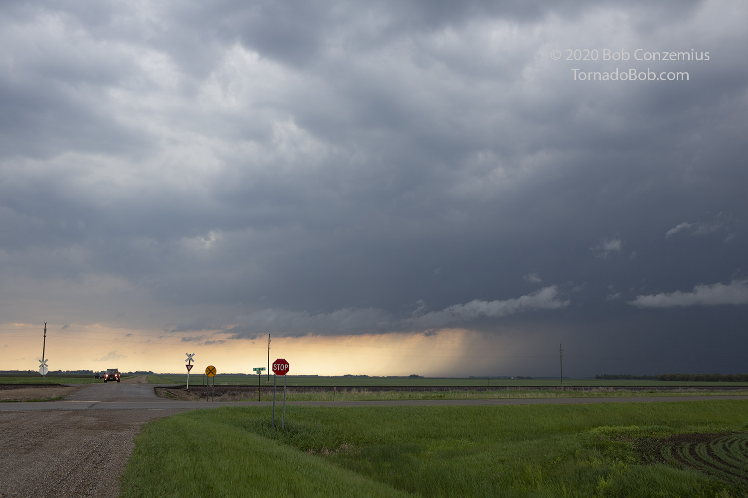
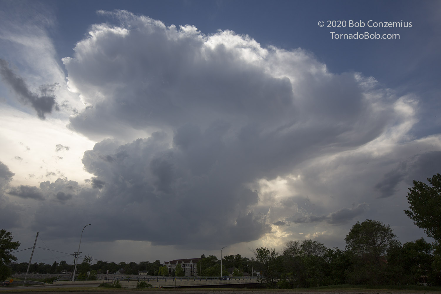
Soon enough, some cells began to form and intensify to my southwest through northwest. I drove north until I came upon a substantial cell. Based on the radar presentation, I would have expected some more structure, but the cloud bases were relatively flat and not very dark-- pretty featureless, but maybe things would change as the storms intensified. I soon came upon what appeared to be an inflow band or boundary, but as I approached it, the clouds looked way too low for the temperature-dewpoint spreads in the area. I was coming up against a cool outflow boundary from the storms to my east. As I continued north, the car thermometer showed temperatures gradually dropping through the 70s and reaching the upper 60s.
 |
|---|
| Storms had rather featureless bases. |
 |
|---|
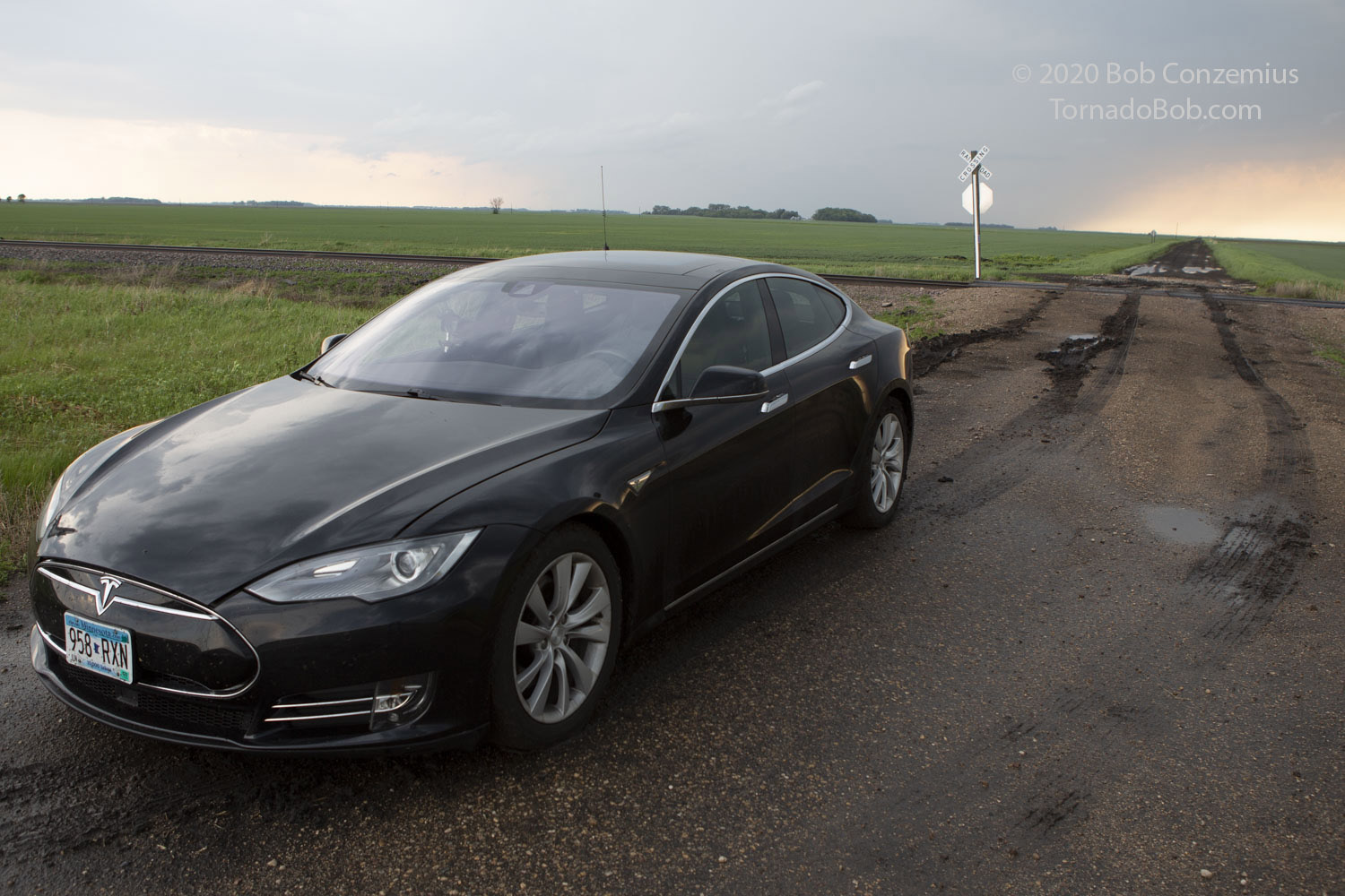
| I almost got stuck here after pulling onto this road to take a picture. |
Eventually, I was getting down to a battery level where I would have a difficult time making it back to Crookston if I continued too far north, which I didn't want to do because it was cold up there (there was also a park in Roseau where I could charge). I was approaching Donaldson, which is actually about halfway between Roseau and Crookston. I could have continued, then, but the drive back from Roseau was longer, and it was too cold for tornadoes up there anyway. My best option seemed to be, at this point, driving back to Crookston, plugging in, and waiting for something stronger to once again come up from the southwest.
 |
|---|
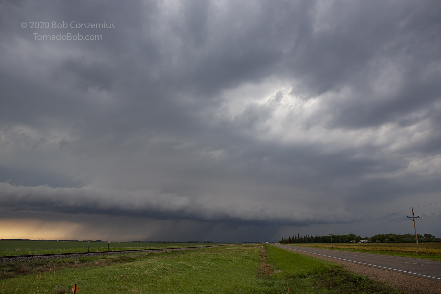
| The storm eventually started to look better, but there was a bit of cold air. |
 |
|---|
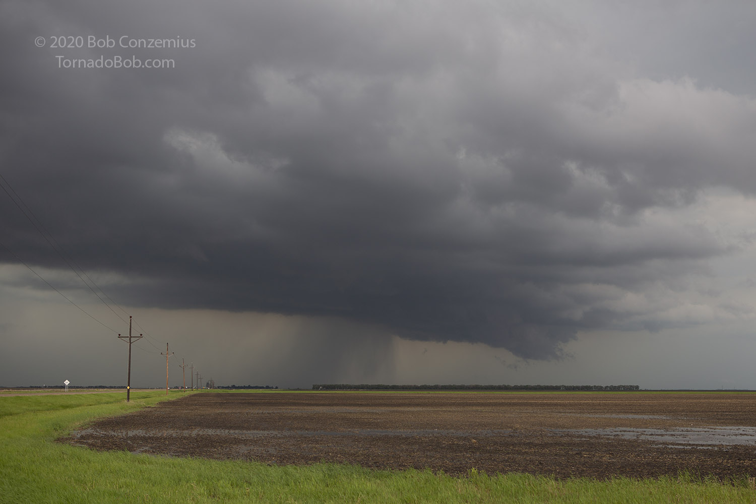
| This is how the storm look when I left it. I could have stuck with it. |
Once I turned around, I didn't have the range to follow another storm north and come back again. I did pass one up between Warren and Argyle that did not look great at the time, but it intensified by the time I got back to Crookston and even had a tornado warning for a bit, but it did not produce a tornado. In fact, my original storm ended up looking pretty good after I left it (according to Brad Nelson's account of it), so my range anxiety did have a detrimental impact on my chasing, but I did not miss any tornadoes.
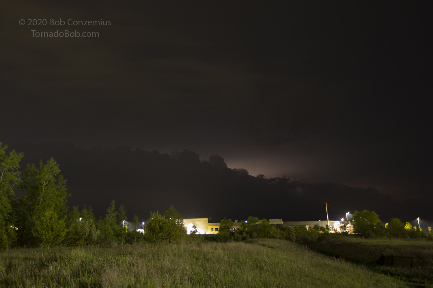
As it turned out, when I got back to Crookston, I had to charge at 7 kW for about 2.5 hours to make it back to Bemidji, where I could use a 50 kW charger. While I was killing the time in Crookston, I watched a couple cells go by and had a chance to take a few pictures. By the time I had enough charge to continue, a squall line had formed to my west and was approaching pretty quickly, so I unplugged and started eastward on Highway 2. If I could flirt with the outflow boundary, I could have a tailwind, but that also meant risking wet roads, and that would have cancelled out the effect of any tailwind. I stopped a couple times to take video of the approaching line, but it was getting pretty dark.
 |
|---|
| A small cell moves past Crookston. |
I made it to Bemidji, charged at 45 kW for about 35 minutes, then made the rest of the drive home. As luck has it, storms developed in these same areas the following evening, and they produced a couple tornadoes, but I was unable to chase due to earlier commitments.
 |
|---|
| The squall line approaches Bemidji. |
Back to Storm Chases | Home