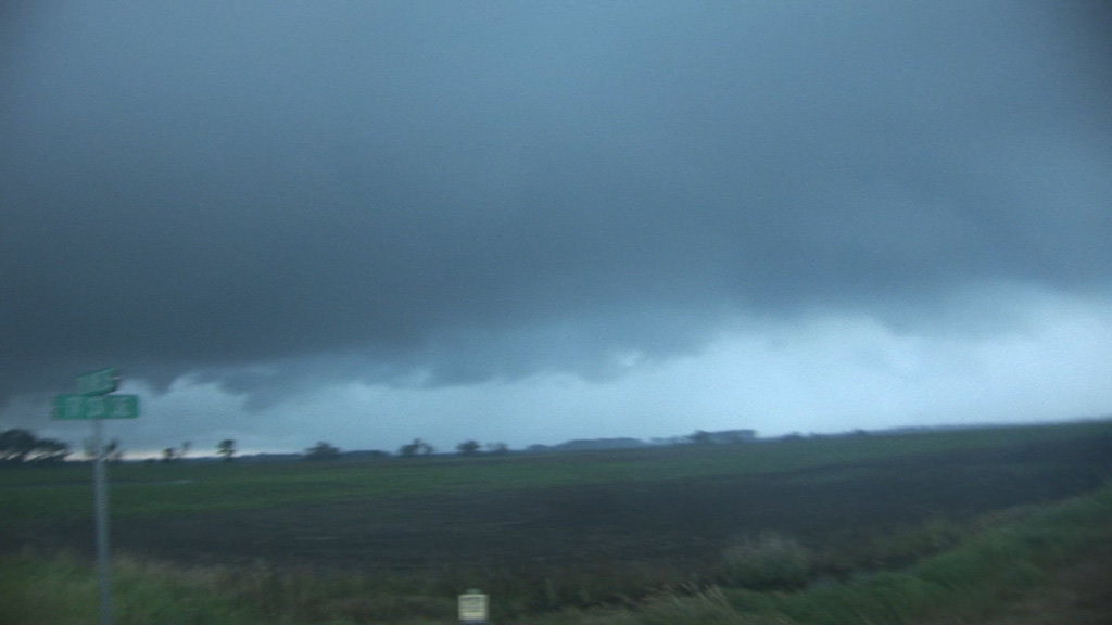
The first storm was nothing much to look at due to the low LCLs (80-degree dewpoints!) and the fact that it was undercut by northerly (albeit still warm) winds.
NWS Bismarck damage survey
Jacob Thumberger's video of the tornado during its development phase
After having missed a nice couple tornadoes in North Dakota due to some commitments I had made the day before, I was somewhat resigned not to chase this day because repeats seldom happen. I felt assured the storms would quickly become linear in North Dakota today because the low-level winds were much weaker than before, yielding hodographs more supportive of storm interaction and an MCS rather than discrete supercells. Additionally, the show had started early, and a storm was in progress more than two hours before we even left Grand Rapids. Luck was on our side, however, and we arrived in North Dakota with the first storm still a supercell. It was, however, slowly weakening.
The first storm was nothing much to look at due to the low LCLs (80-degree dewpoints!) and the fact that it was undercut by northerly (albeit still warm) winds.
Another storm developed an hour to the west-southwest, and, although it was farther from home, we had already driven 80 percent of the way there. It would be silly not to go after this stronger storm and just watch our first storm dissipate, so we blasted west on I-94 and then south to get in front of the new storm. The contrast was initially poor, but we got close enough that we saw some pretty nice structure on the storm. It was an HP supercell with a lot of rain wrapping into the hook, making it completely opaque from our viewing location to the east of the storm. Soon, we saw a tornado report appear on GRLevel3 from Jacob Thumberger, who was essentially in the bear's cage to our west. We could initially see no evidence of a tornado, but when we stopped in Berlin, ND, the rain curtains were being pulled inward/northward on the south side of the hook, and the edge of the visible area was canted inward, indicating significant low-level inflow into the circulation-- a likely indicator of a tornado. We proceeded southeastward, and the precipitation core cleared enough that John Wetter spotted the rope-out (dissipation) of the tornado to our west. I was driving at the time and did not notice this 30-second window of visibility.
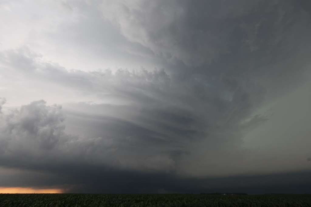
Second storm just west of Grand Rapids, ND.
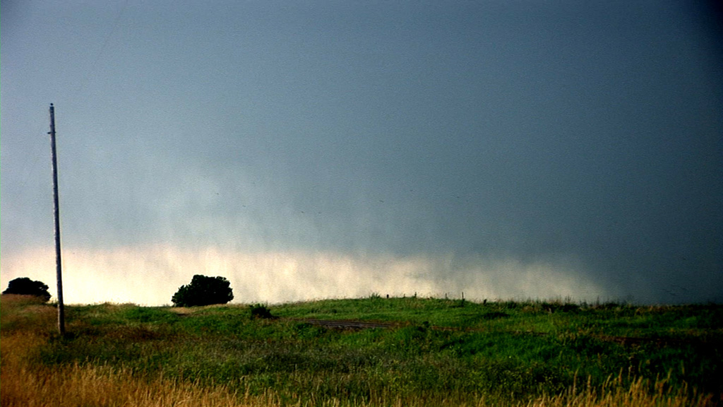
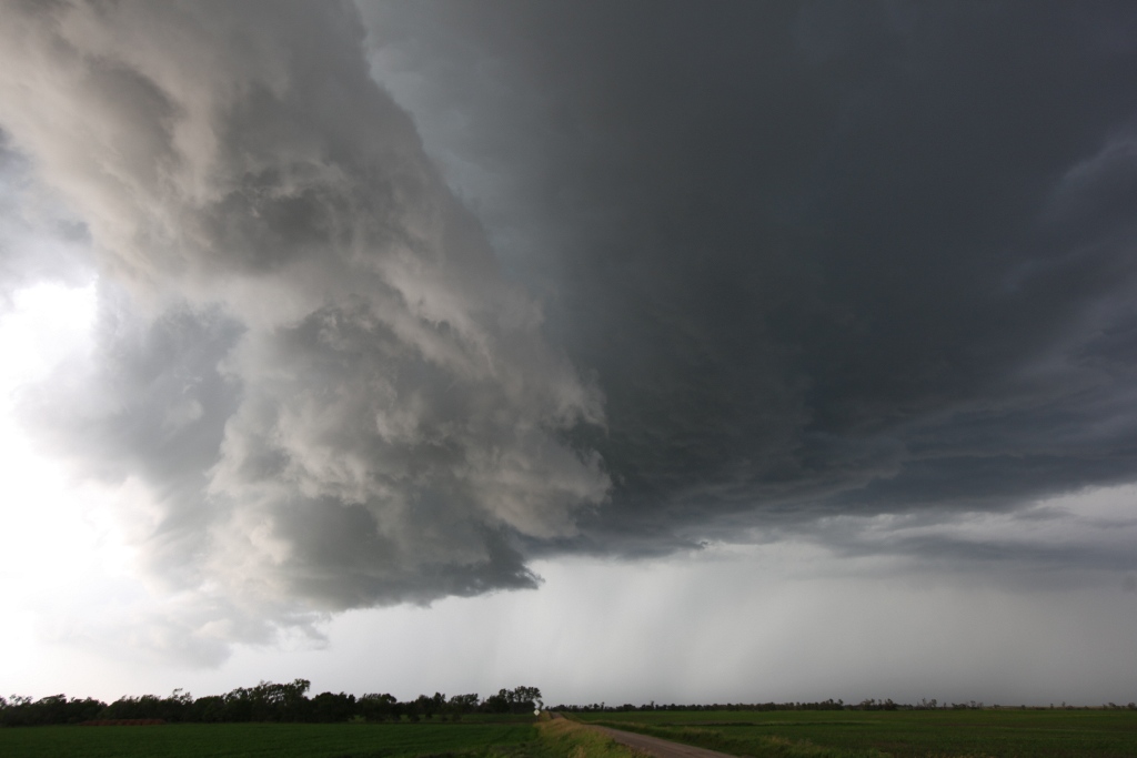
The storm had a very long inflow tail (lower center and lower right).
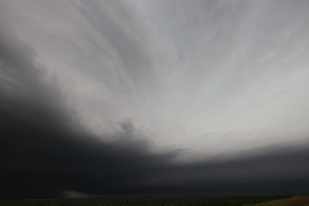
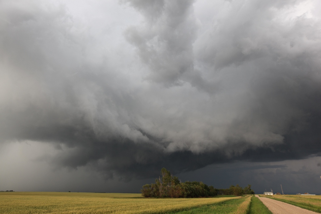
The hook of the storm (at bottom center) was opaque with a lot of rain and hail. Do you see an EF-3 tornado in there? I didn't, but it was there.
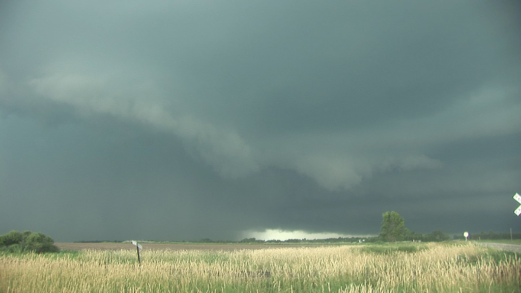
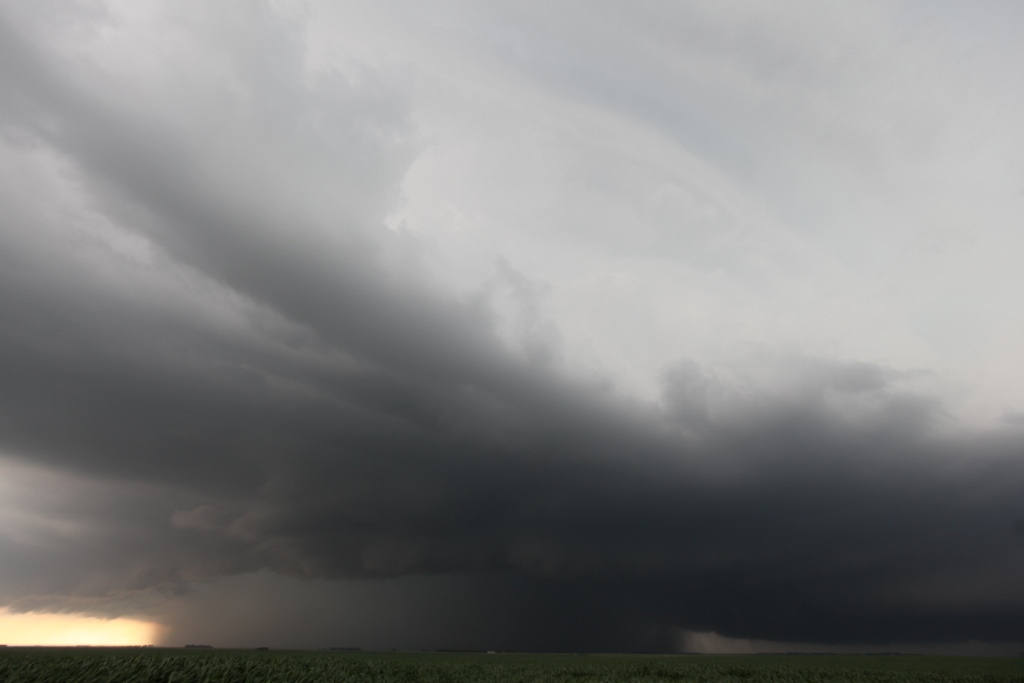
At Berlin, ND looking north-northwest. There's a tornado embedded in that rain area on the left.
Contrast-enhanced video capture. Rain curtains in the foreground are moving north, and behind them were other rain curtains moving slowly south. The edge of the tornado is probably just
to the right of the shot and obscured by rain.
South of Berlin, ND. The tornado is about to rope out and become visible.
Looking straight west. The tornado is probably very near the center of this picture but is still obscured.
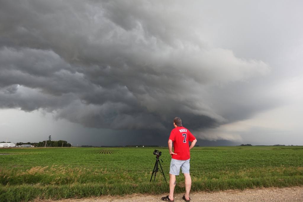
Bill Doms looking at the storm just after the tornado roped out.
As soon as this rope-out occurred, the storm seemed to go into more of a linear mode as yet another new storm developed to our west. It was a bit closer than last time, and in fact, it was so close that the base was already visible, so we drifted west to get a little closer. However, we found that cool, northeasterly winds were now blowing pretty strongly, and the new storm, even though it was tornado-warned, apparently had little or no chance of producing a tornado. We played with this storm for a bit, then started the long (300-mile) drive home.
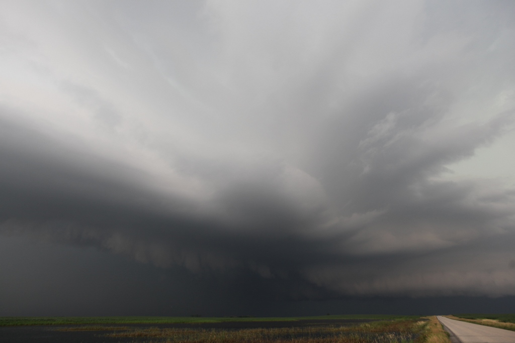
West of Monango, ND: RFD cutting in on Storm Number Three for the day.
Looking at the base from the west.
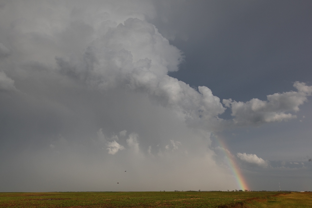
Nice rainbow to finish the day!