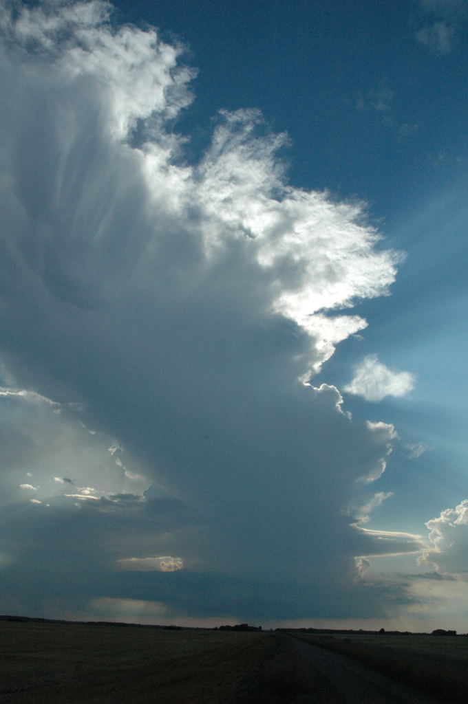
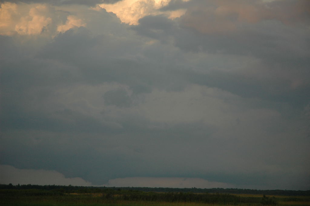
View to the north from Thief River Falls. Click here for corresponding radar image.
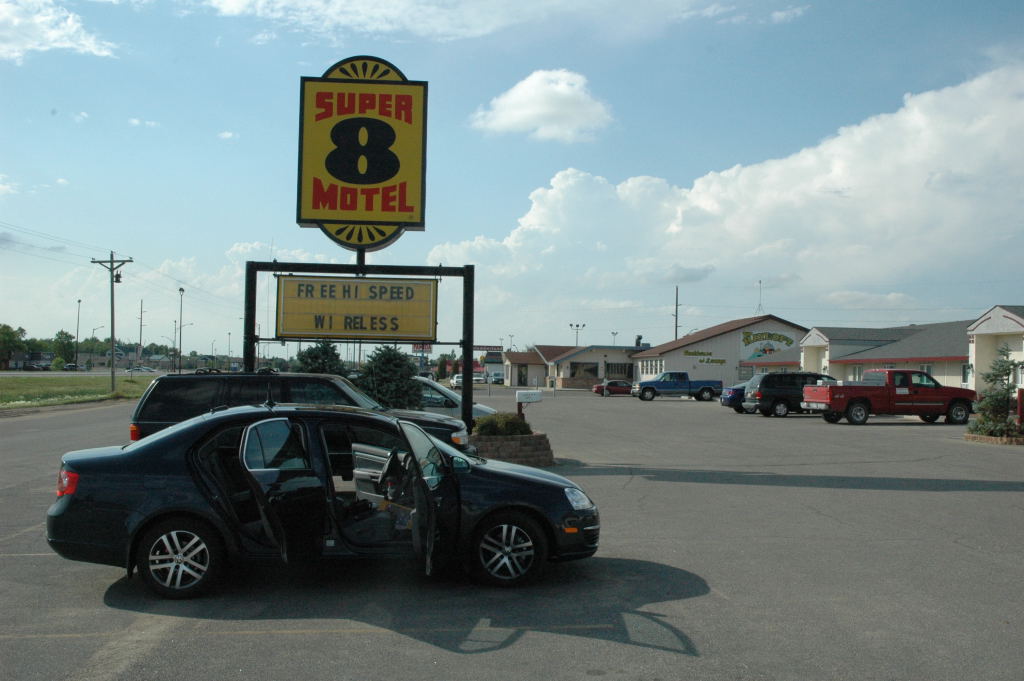
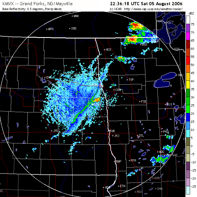
Left Grand Rapids somewhat late (2:30 pm) and got to Thief River Falls around 5:30, where we stopped at a Super 8 and checked internet. There was a developing storm to our north and other towers to our west, but a check of the radar showed the one to our immediate north was moving somewhat left, so we blew it off in favor of an up and coming cell just south of Grand Forks, so south we went.
View to the north from Thief River Falls. Click here for corresponding radar image.
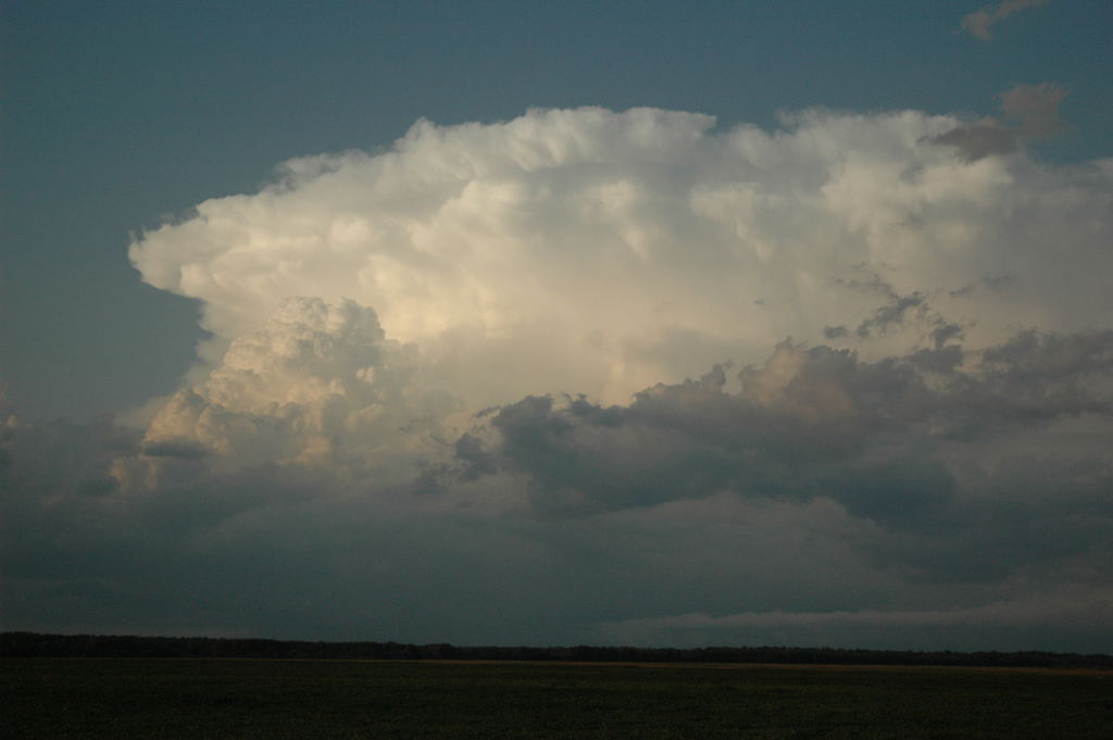
We seemed to reach it about 15 minutes sooner than I thought we would. I was wondering if we were really on the right storm. There also appeared to be a rather featureless rain area just to the south of our storm, which caused me concern. Our storm improved markedly, however, and soon we had a rather decent base to our west.
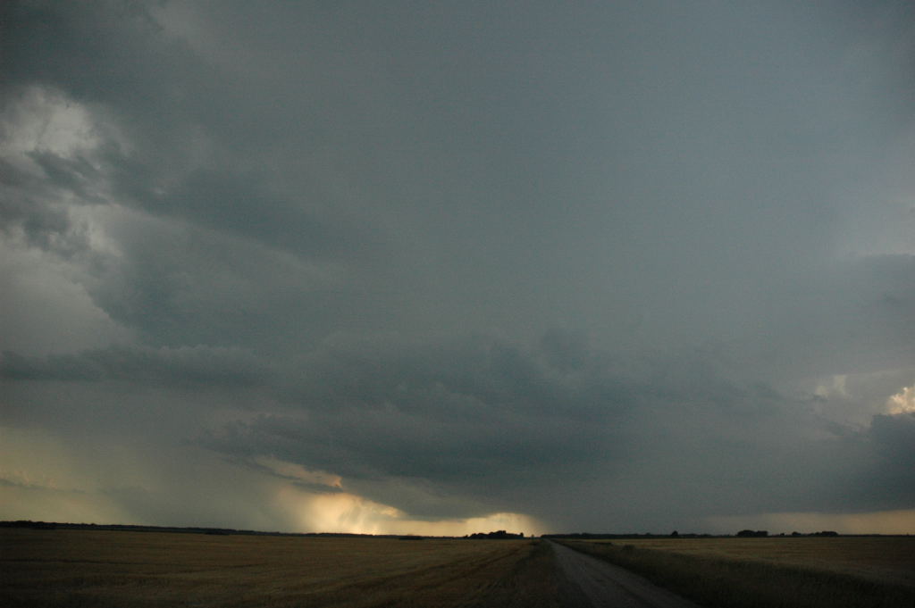
View to the west from near St. Hilaire, MN. Click here for corresponding radar image.
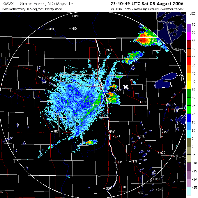
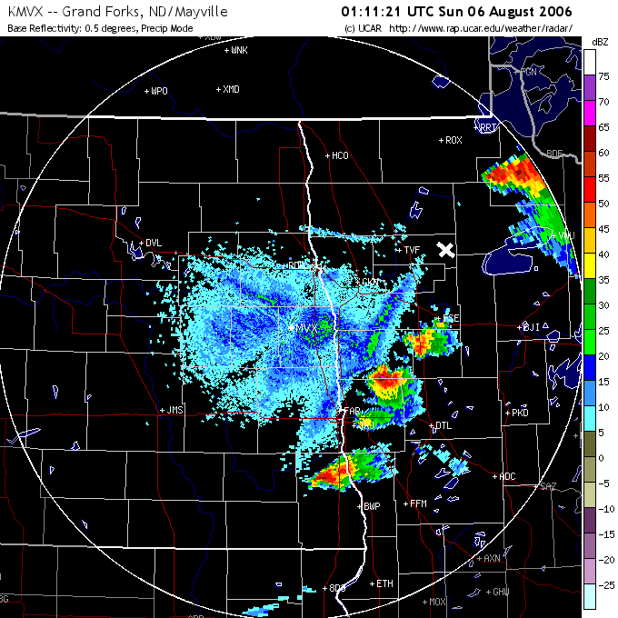
Storm starts to look better, but there's still that featureless rain area to the south (it's the left-mover). Click here for corresponding radar image.
What I did not realize (and I realized only after looking at radar in retrospect) was that our original target storm was indeed farther south, but it quickly died as soon as we left the Super 8, and it split as well. The featureless rain area we saw was the split. Of course, the storm interaction was to the detriment of our storm. The left-mover kept going northeast, leaving us with a mess of disorganized bases. To make us feel better, we were hearing reports of tornadoes on the Roseau-Warroad storm at the same time, so we were in no-man's land, 80 miles from the Warroad storm and 90 miles from the southernmost cell (which was also tornado-warned). Crap.
So we went east, hoping the unlikely rejuvenation of our sick storm would occur, but the last of the updraft shriveled. We also saw an additional storm (tornado-warned as well) that had developed out of the cluster north of TVF that we had blown off when we were at the Super 8 and tried to go after it. We probably would have been best off targeting that originally (but the right-mover still had not developed at the time). It didn't matter much, because our same left-mover ran into that one as well. We also ran out of roads. We stopped at Fourtown (just one gas station/grocery store/bar/restaurant at an intersection) to say goodbye to the storm. The guy who was working the cash register was sympathetic to our cause, and he handed me a couple of snowmobile maps that indicated where we could traverse the great road void between Upper Red Lake and Lake of the Woods, taking a gravel road that I did not see on any of our maps. We just decided to go home.
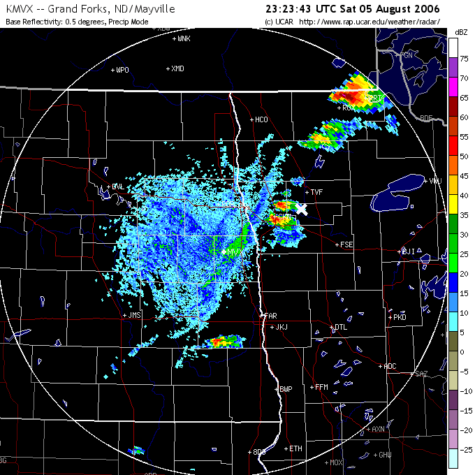
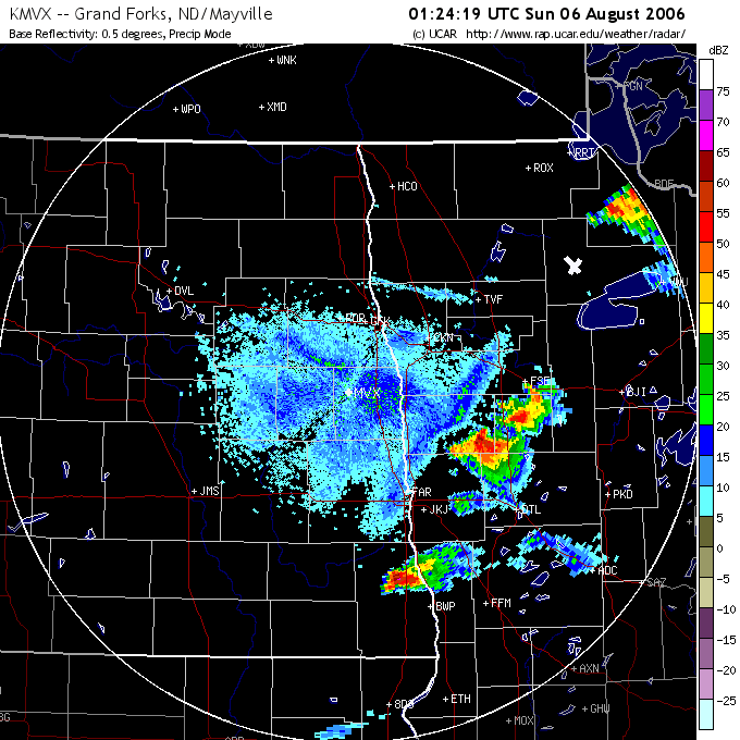
New tornado-warned storm as it was colliding with left-mover. Note the outflowish clouds below to the right. Click here for corresponding radar image.
Some strange features on the flanking line of the last storm. Click here for corresponding radar image.