June 16, 2018 Storms
Sand Hills of Nebraska
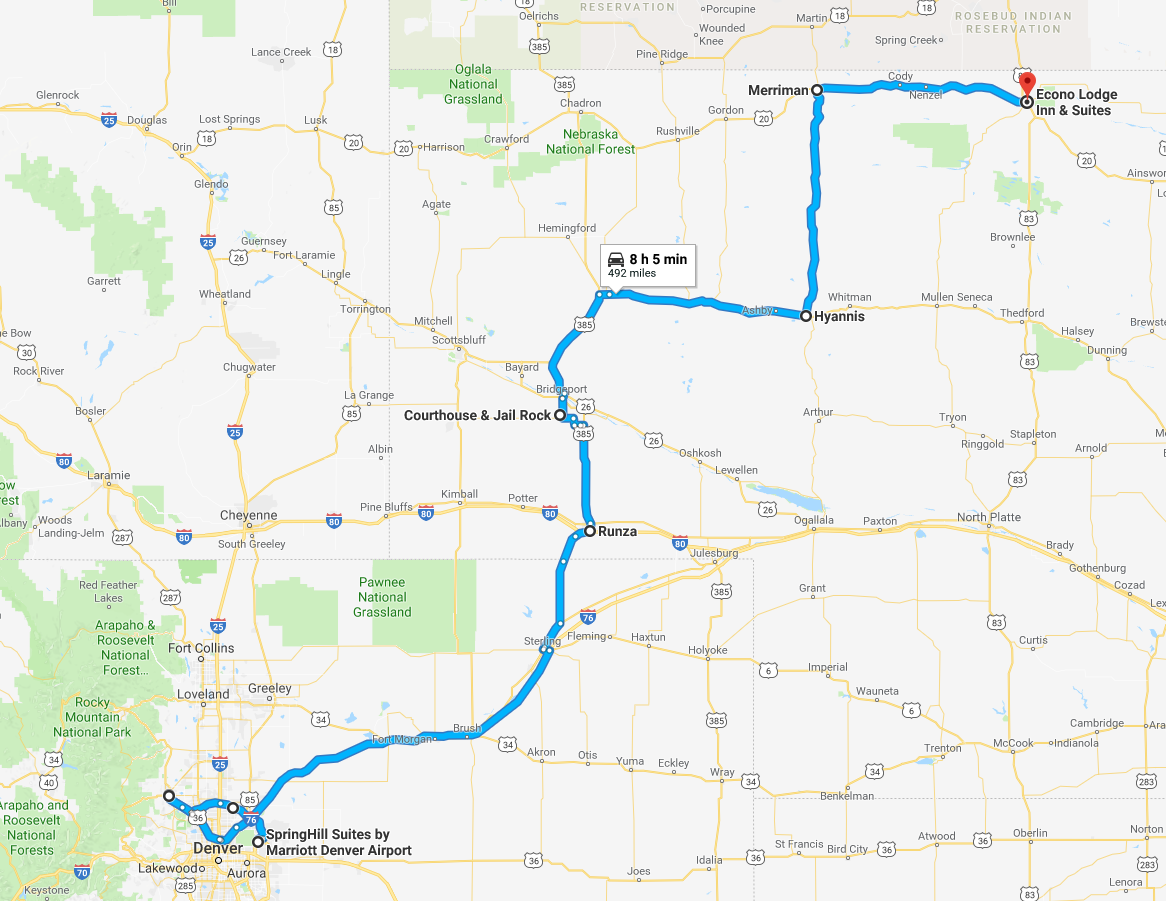
On Day One of the private tour I helped direct, we saw some storms in the Nebraska Sandhills. We left the Denver/Boulder area in the morning in pursuit of storms over Nebraska. The environment would be overrun by the remnants of Bud, an eastern Pacific tropical system. These tropical systems generally make the atmospheric lapse rates less steep (less cooling with height and, therefore, less instability to fuel severe thunderstorms), and they also bring a lot of high cloudiness if they come from the Pacific. If they come from the Gulf of Mexico, they can also ruin the return of high quality moisture, which also reduces the instability to form severe storms.
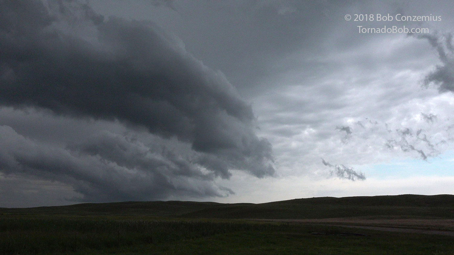
We found a line of storms near Hyannis, and we played with them for a couple hours. The outflow boundary was rather far south from the storms, so this prevented any dramatic contrast in the sky, and it gave us a bit less storm structure to shoot.
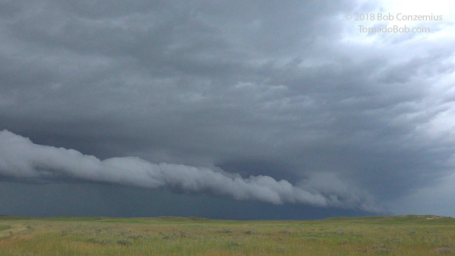
Eventually, a more intense cell developed in the line, and this allowed a more well-defined shelf cloud to develop. We stopped to view this shelf cloud and let it pass over us as we enjoyed the scenery of the Sandhills and also the lack of vehicle traffic.
 |
|---|
| The leading edge of the outflow remained stationary over us at our first storm viewing stop north of Hyannis, NE. |
 |
|---|
| A more well-developed shelf cloud comes into view. |
 |
|---|
| Our route for the day. |
Electric driving: Tesla Superchargers in Brush, CO and Sidney, NE would have made this trip possible, but the second half would be difficult (slow) with 265 miles between Sidney and Valentine. The last 90 or 100 miles would have been in rain, which reduces range. There are no chargers listed in Valentine, although maybe some campgrounds with electrical hookups could be located.
Back to Storm Chases | Home