We spent a fair bit of time waffling between two target areas: central Kansas and the northeastern Texas panhandle. We eventually committed to the panhandle option and drove closer to that target. We stopped to watch storms initiate there, but they fizzled instead.
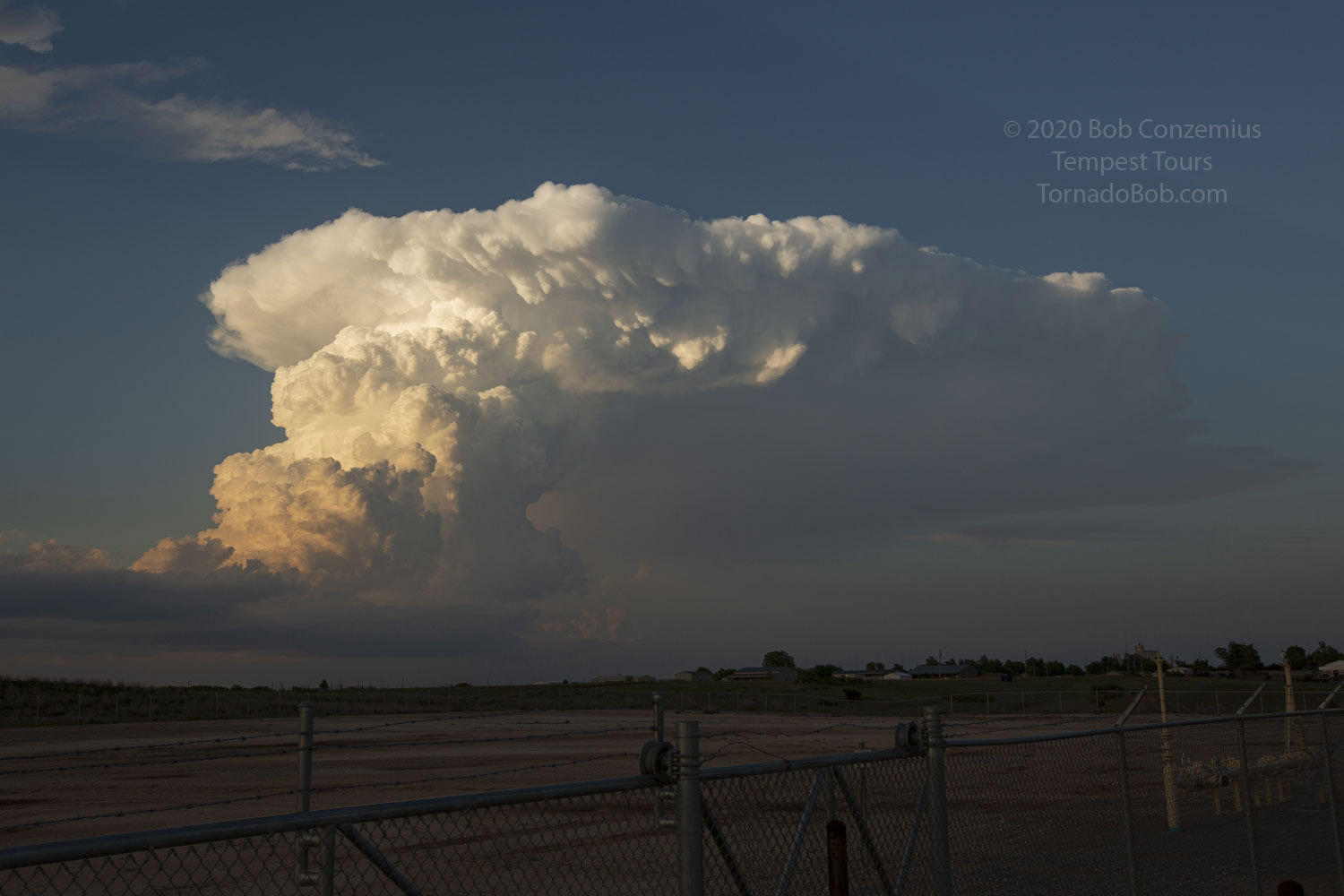
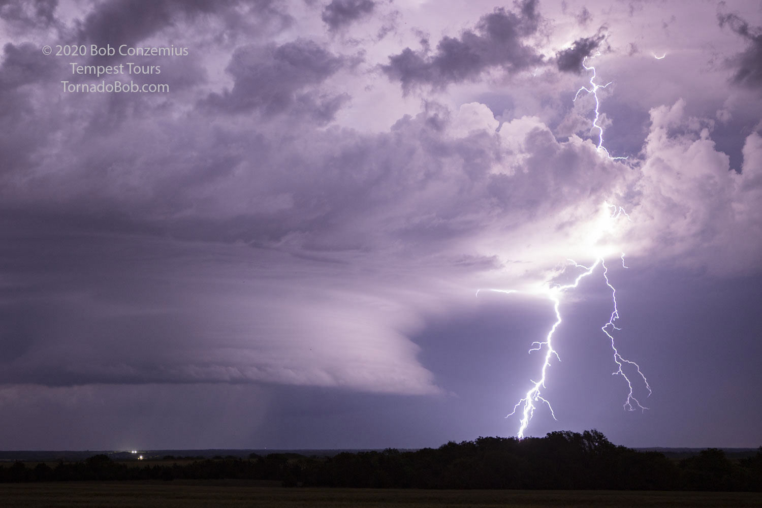
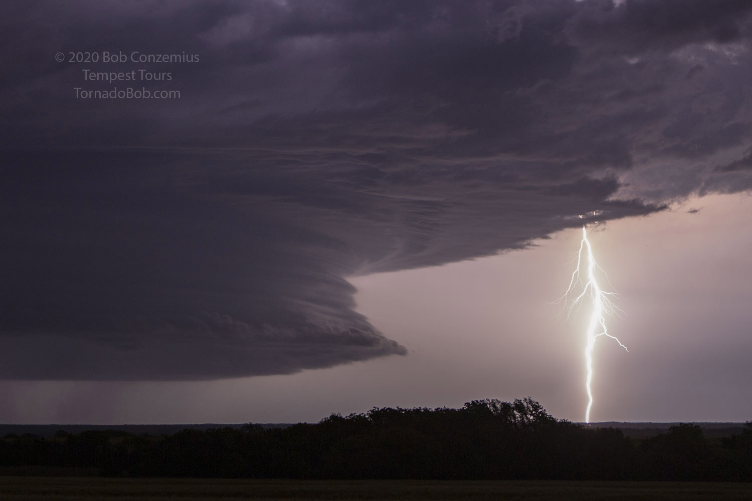
There were still some cumulus congestus off to our east-northeast, and they were becoming more numerous and growing, so we drove into northwestern Oklahoma to see what they could do. They grew into isolated thunderstorms as we got closer. The closest storm developed an LP supercell look with a narrow but intense updraft. We stopped briefly to take a couple pictures when it was unobscured by clouds, and we stopped northwest of Seiling to watch it develop further.
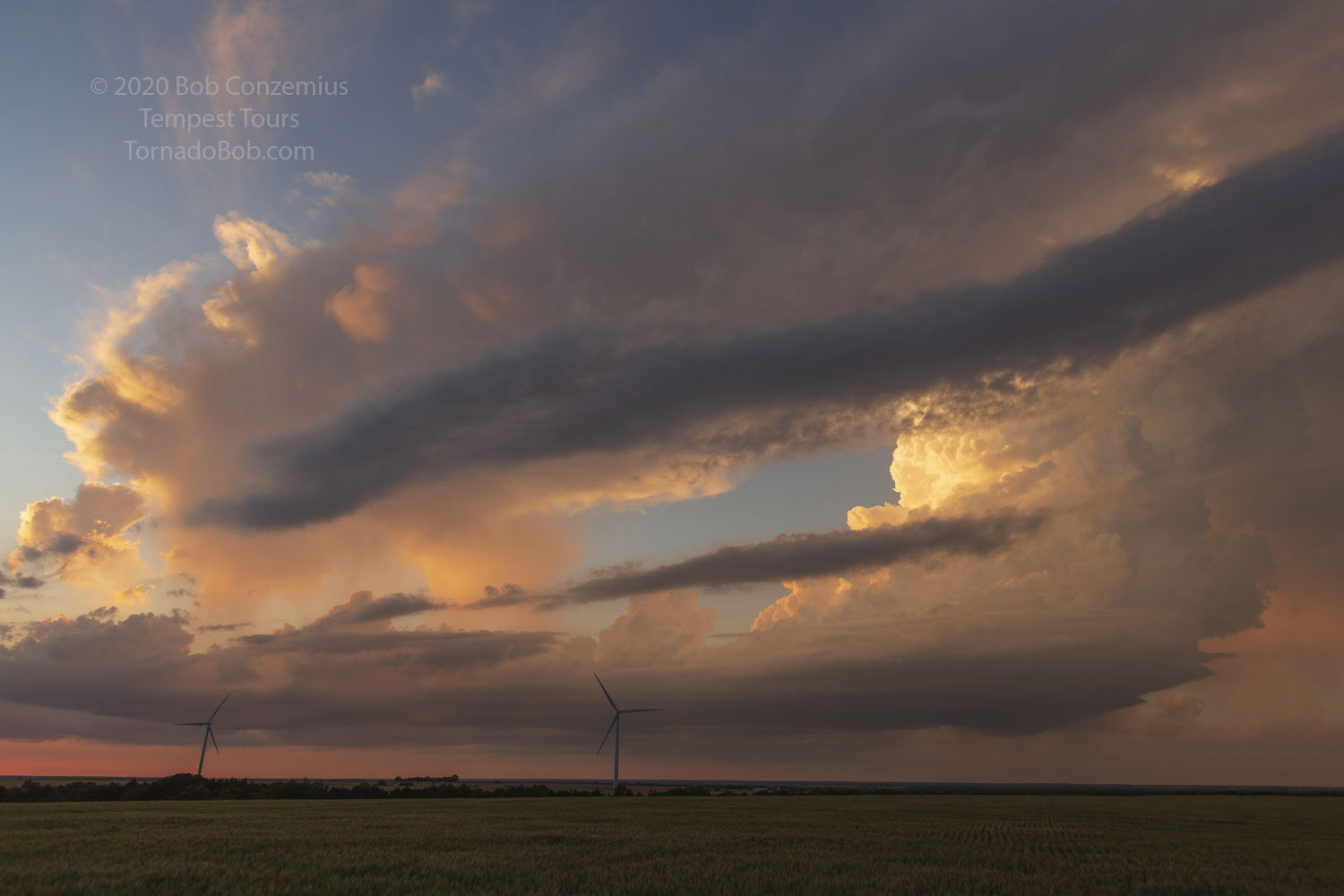
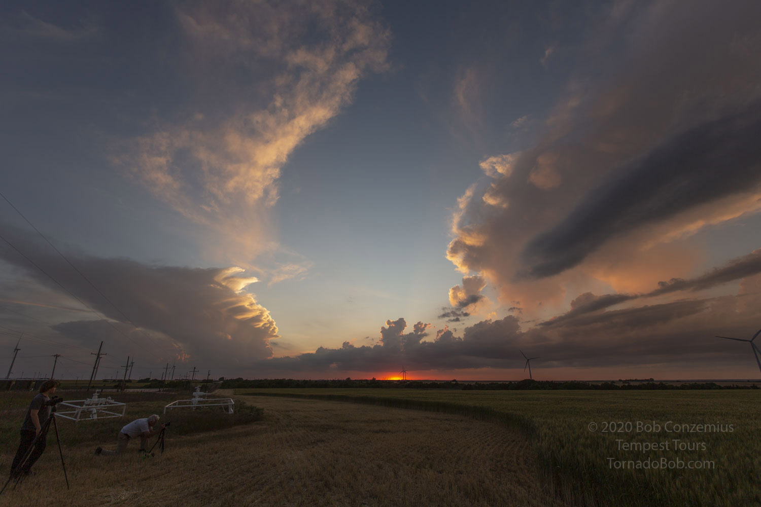
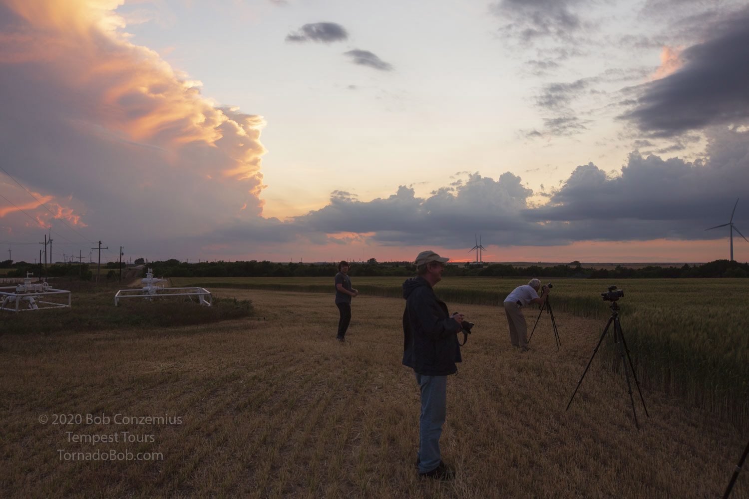
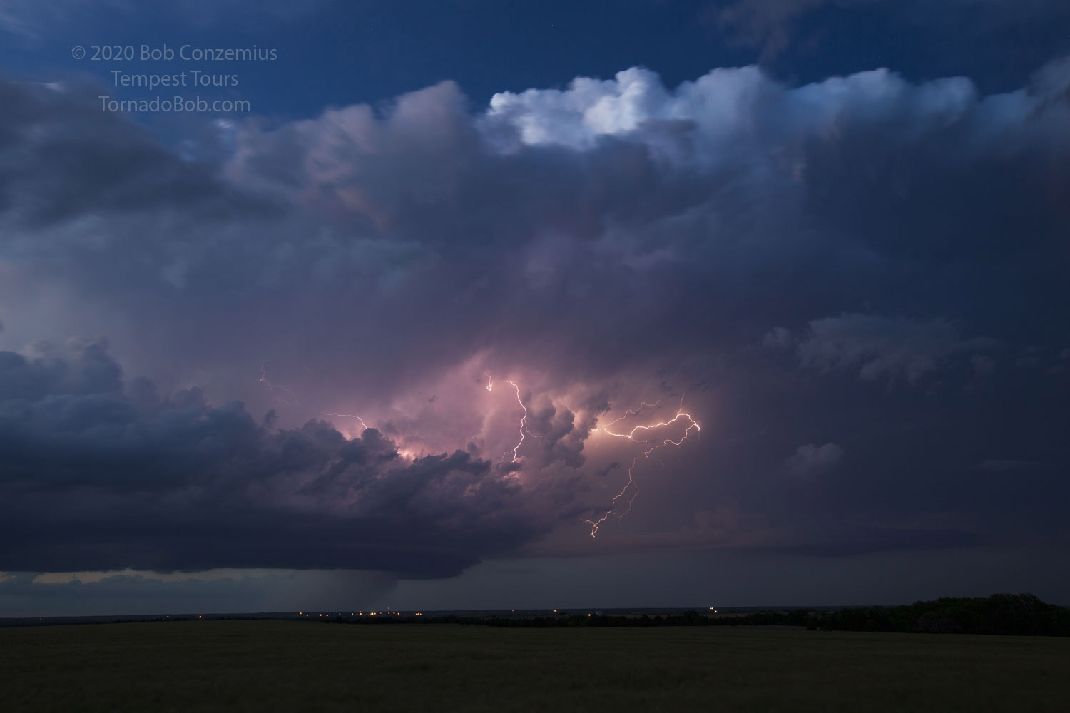
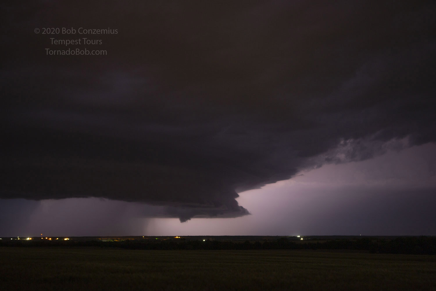
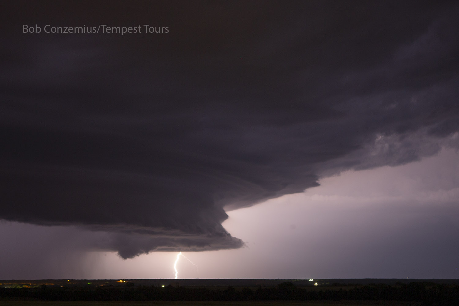
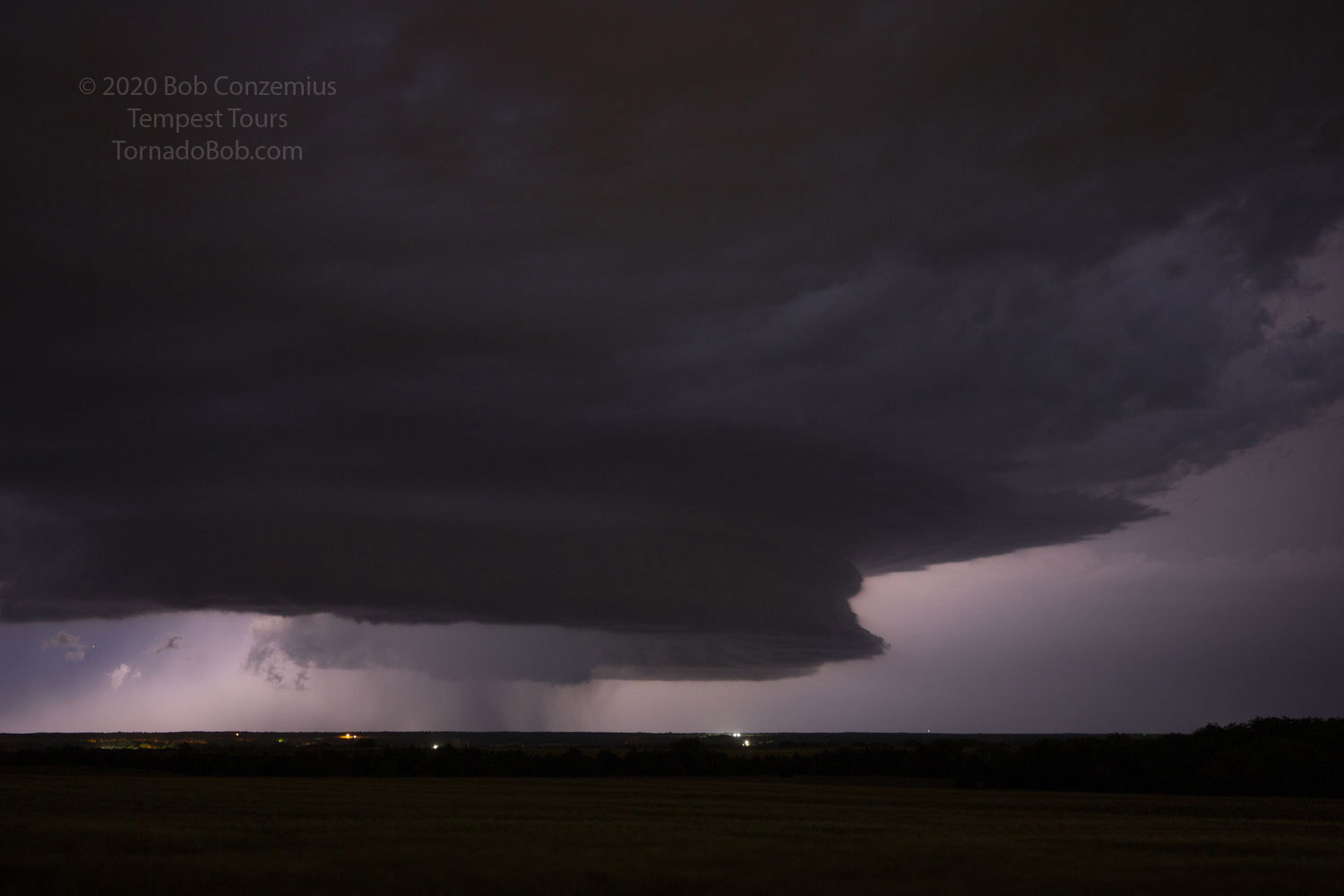
We ended up staying in that spot for two hours, taking stills and video as, first, the sun set on this new storm, bathing it in a red-orange hue, and continuing to watch as it transitioned into a lightning show. The storm developed a nice collar cloud and an RFD punch, but it never produced any substantial low-level rotation that we could see. Around 10:30 or so, we headed south to I-40 to spend the night.
An unobstructed view of our new storm.
An unobstructed view of our new storm.
An unobstructed view of our new storm.
An unobstructed view of our new storm.
An unobstructed view of our new storm.
An unobstructed view of our new storm.
An unobstructed view of our new storm.
An unobstructed view of our new storm.
An unobstructed view of our new storm.
An unobstructed view of our new storm.
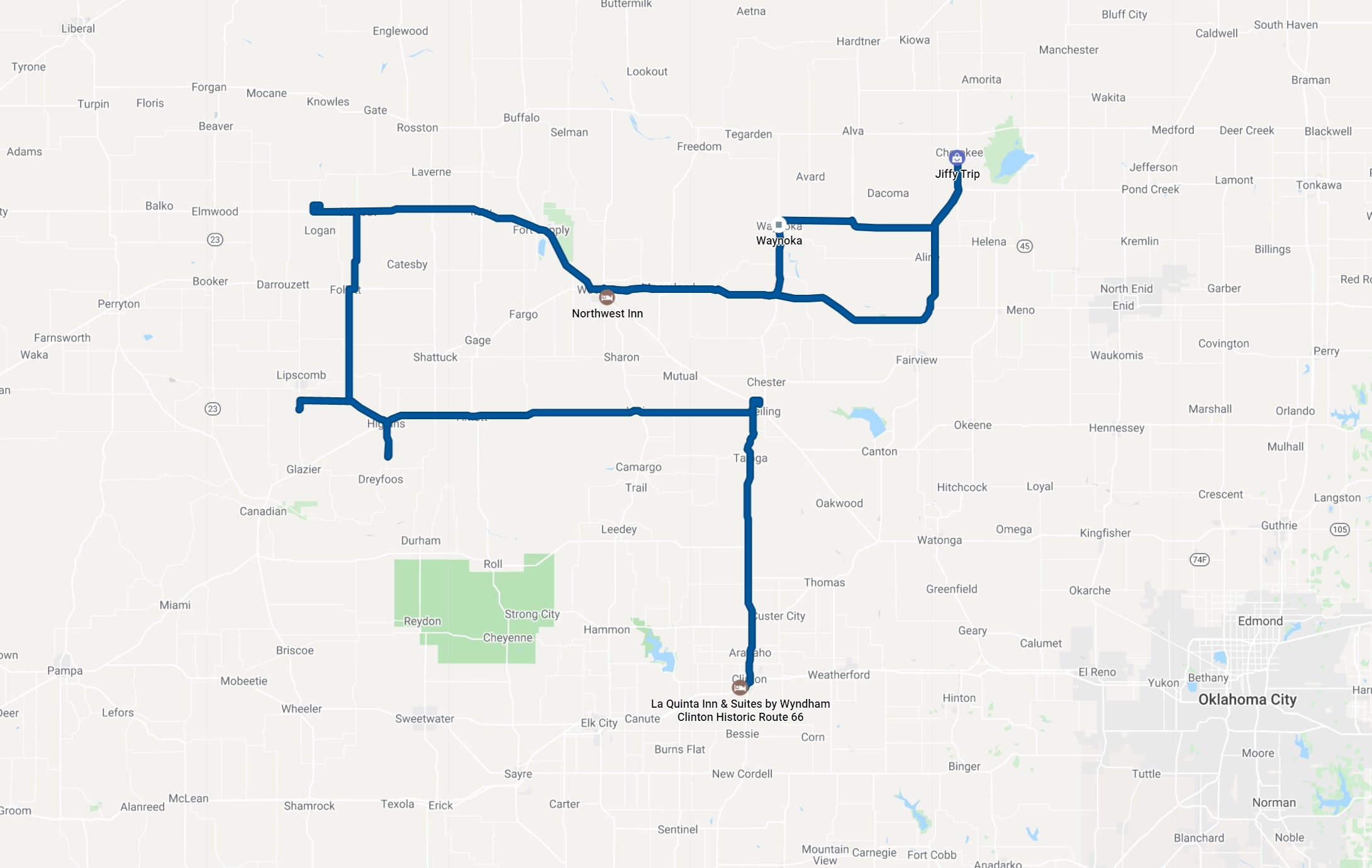
Approximate route for the day. Bill's log shows about 350 miles.