It was a day for chasing between storm tours. Chris Gullikson and I did a bit of van maintenance work in the morning, and once that was done, we turned our attention to the slight risk to our north in southeastern Wyoming. Chris was done with the tour director duties for the year, so he could chase on his own and invited me to go along. I had some reservation about going because I might better prepare for the tour that started the next day, and I did not want to force him to come back to Denver to drop me off when it would be more convenient for him to drive east on I-80 once the chase was finished. However, he told me he was coming back to Denver anyway, so I gave in to temptation and joined him.
We took I-25 northward and initially planned to hang out along I-25 north of Cheyenne, waiting for the storms to come to us. However, the storms were developing closer to the mountains, and it would take them a couple hours to get to I-25. We decided the better plan was to take U.S. 287 through Fort Collins and Laramie to intercept the storms a bit sooner. That's an advantage of having a chase partner. Had I been driving on my own, I would not have had the chance to figure that out.
The plan worked quite well. We took U.S. 30 north out of Laramie through Rock River. We stopped northwest of Wilcox and watched one storm approach slowly from the northwest. Another developed to our northeast and developed a nice shape, and we considered chasing it, but the road network was not great in that direction, and the storm appeared to struggle a little bit. Our road back southeast would be easier for following our present storm to the southeast. Our storm was a little outflow-dominant, but it was bigger and healthier. It had a circular base as well as an inflow tail cloud. The shear looked nice in the mid levels of the storm. We watched it for a while. The base got a bit bigger but also flatter and not particularly interesting.
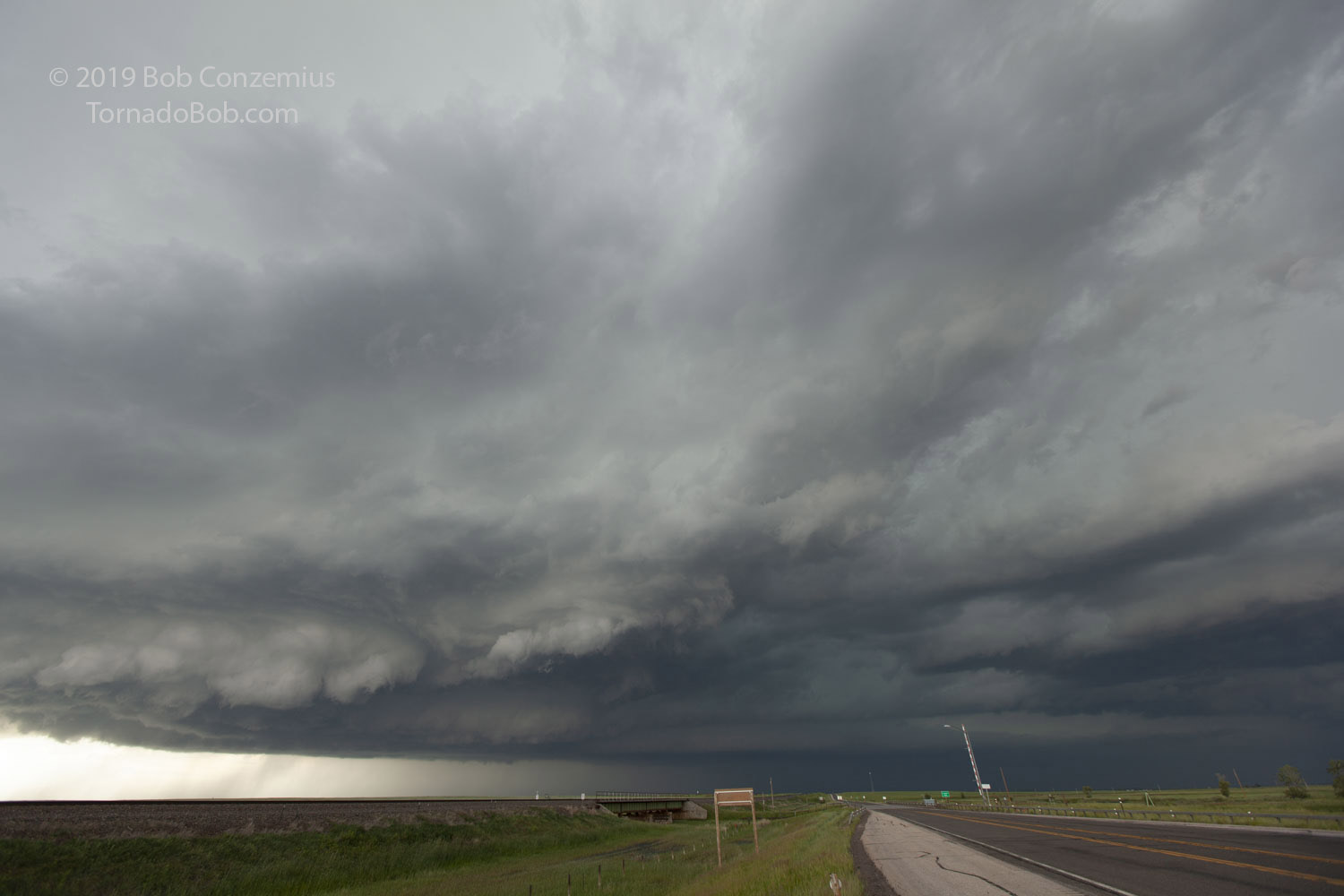
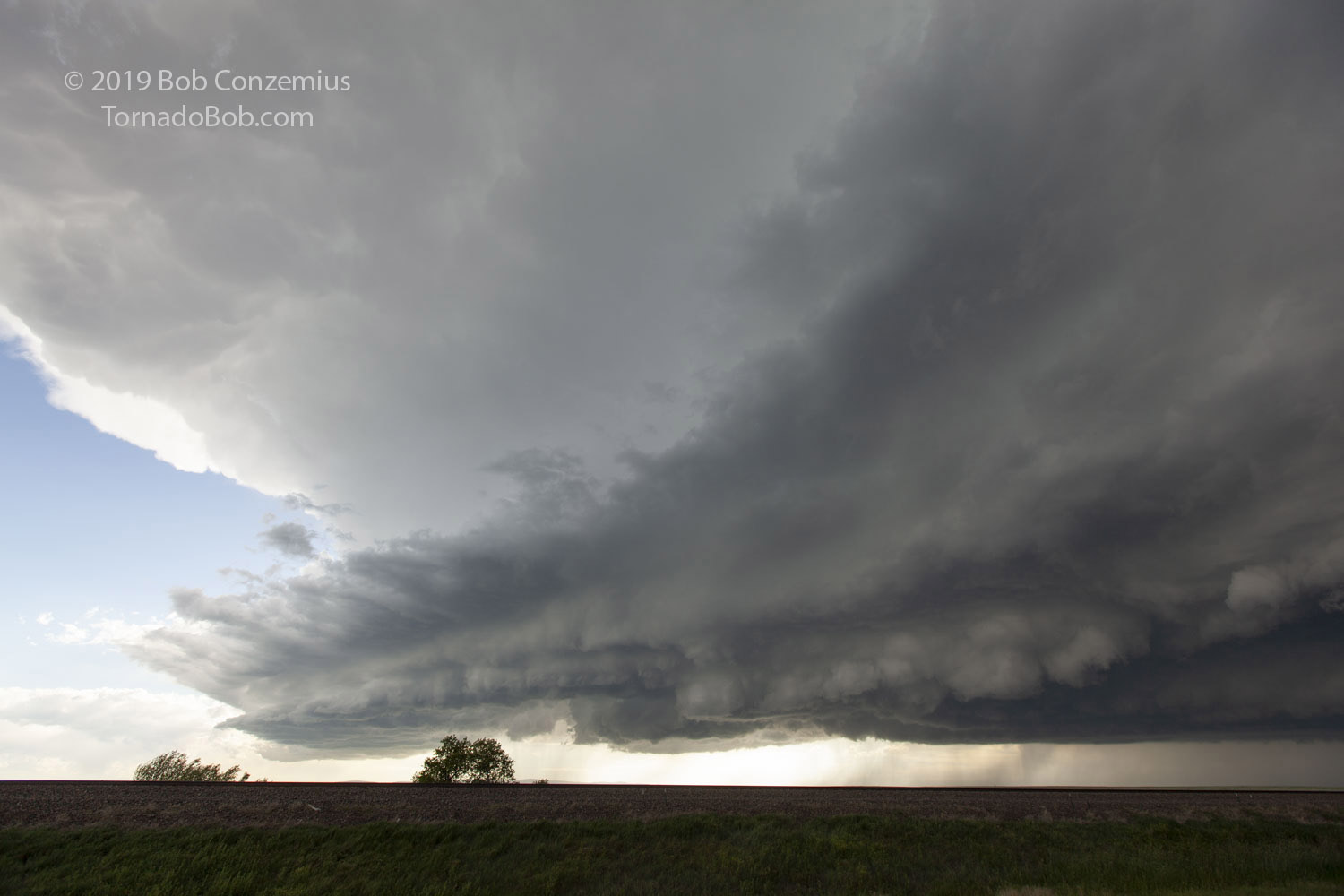
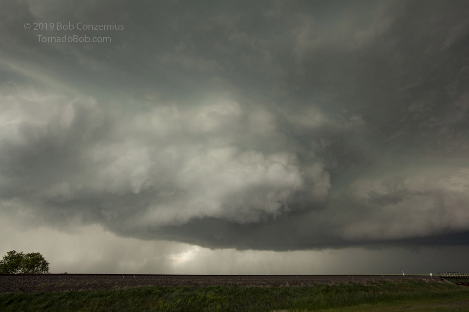
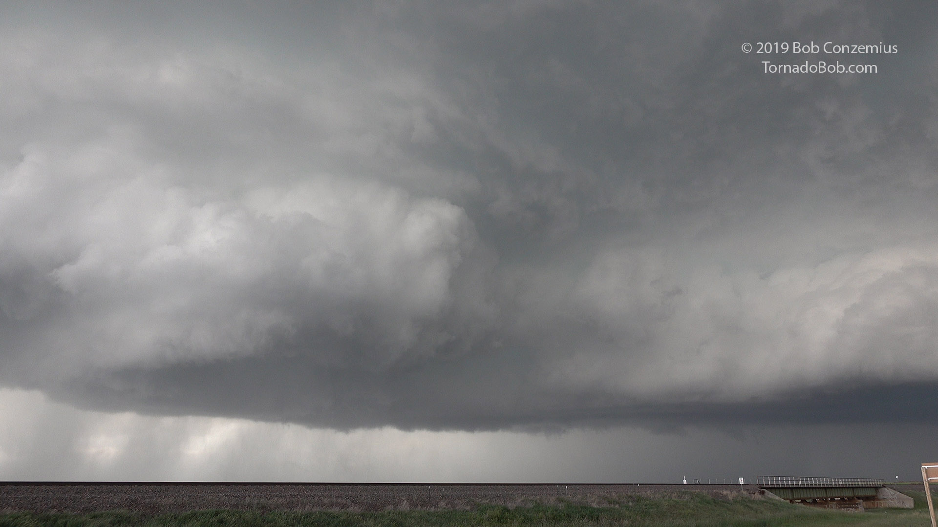
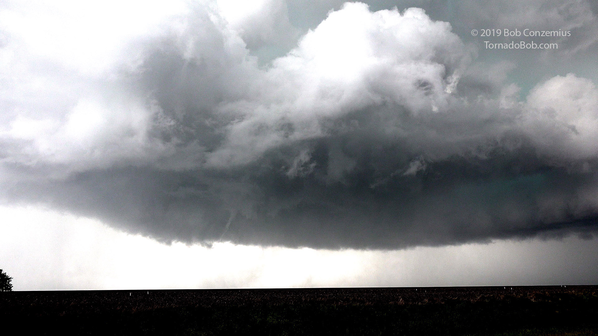
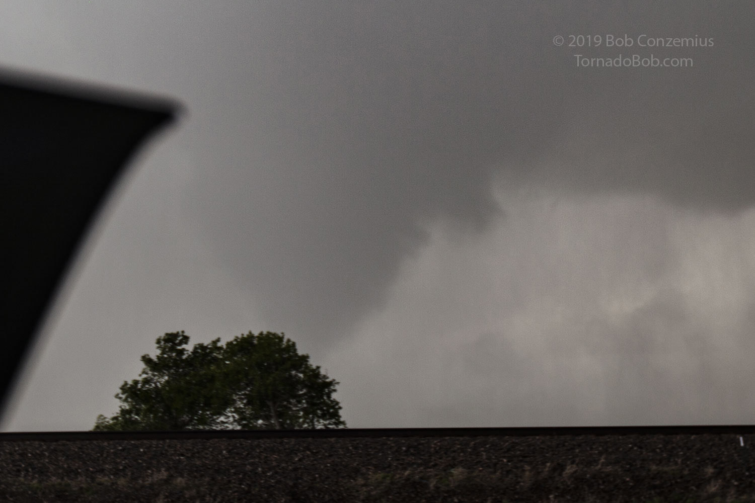
After redeploying a couple times to the southeast, we passed again through Rock River and stopped at Wyoming Highway 34 at Bosler. Here, the storm suddenly developed more of a tiered structure and also had a bit of rotation in a couple areas. I could see a nice surge of southerly winds behind it as the whole storm was propagating a bit harder to the south. In front, the cloud was developing a collar shape with the cloud elements moving from south to north. A strong mesocyclone was developing.
Looking northwest at our storm at Bosler.
Same location as above, looking west.
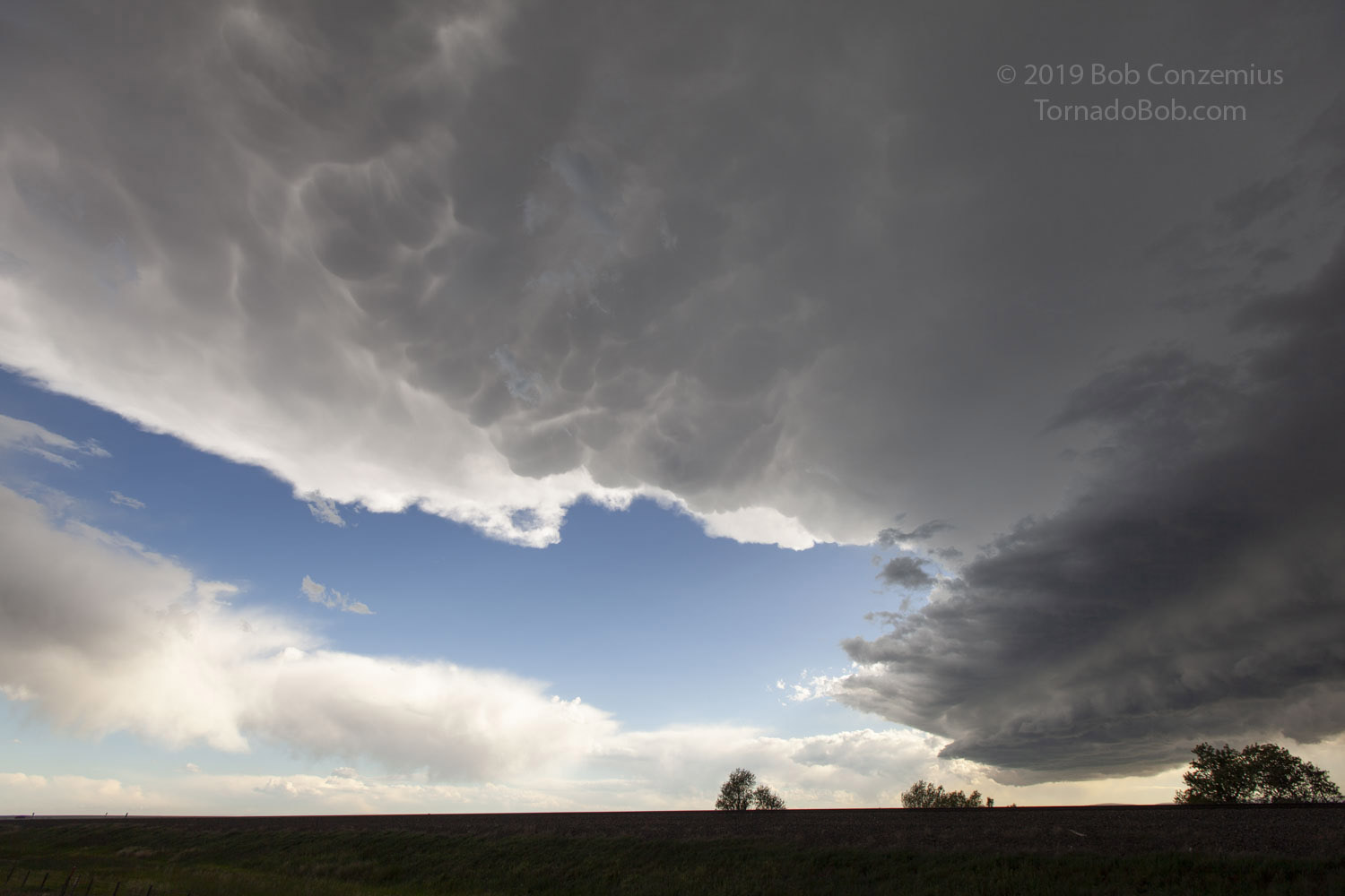
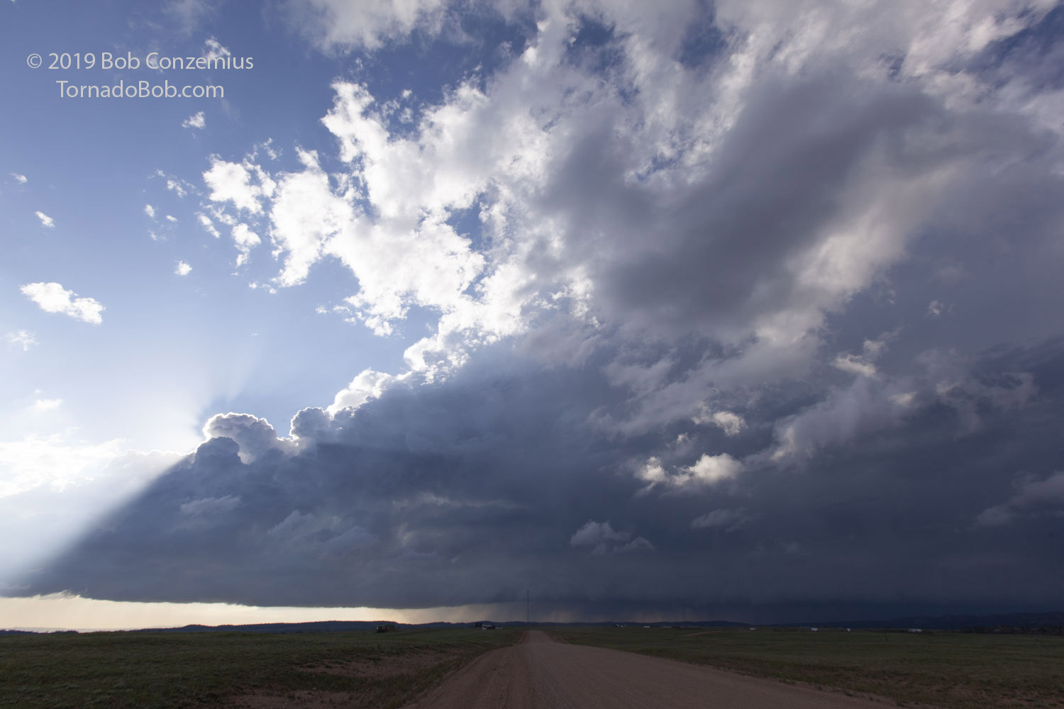
The storm has a nice, healthy anvil.
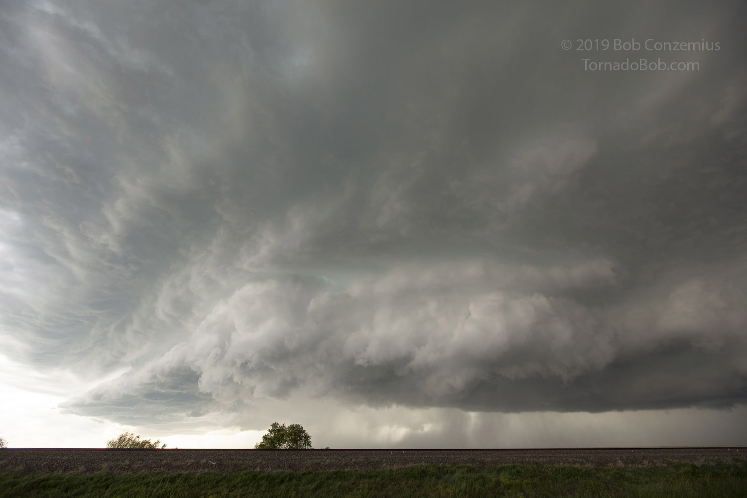
A collar cloud develops.
Now there is some significant rotation.
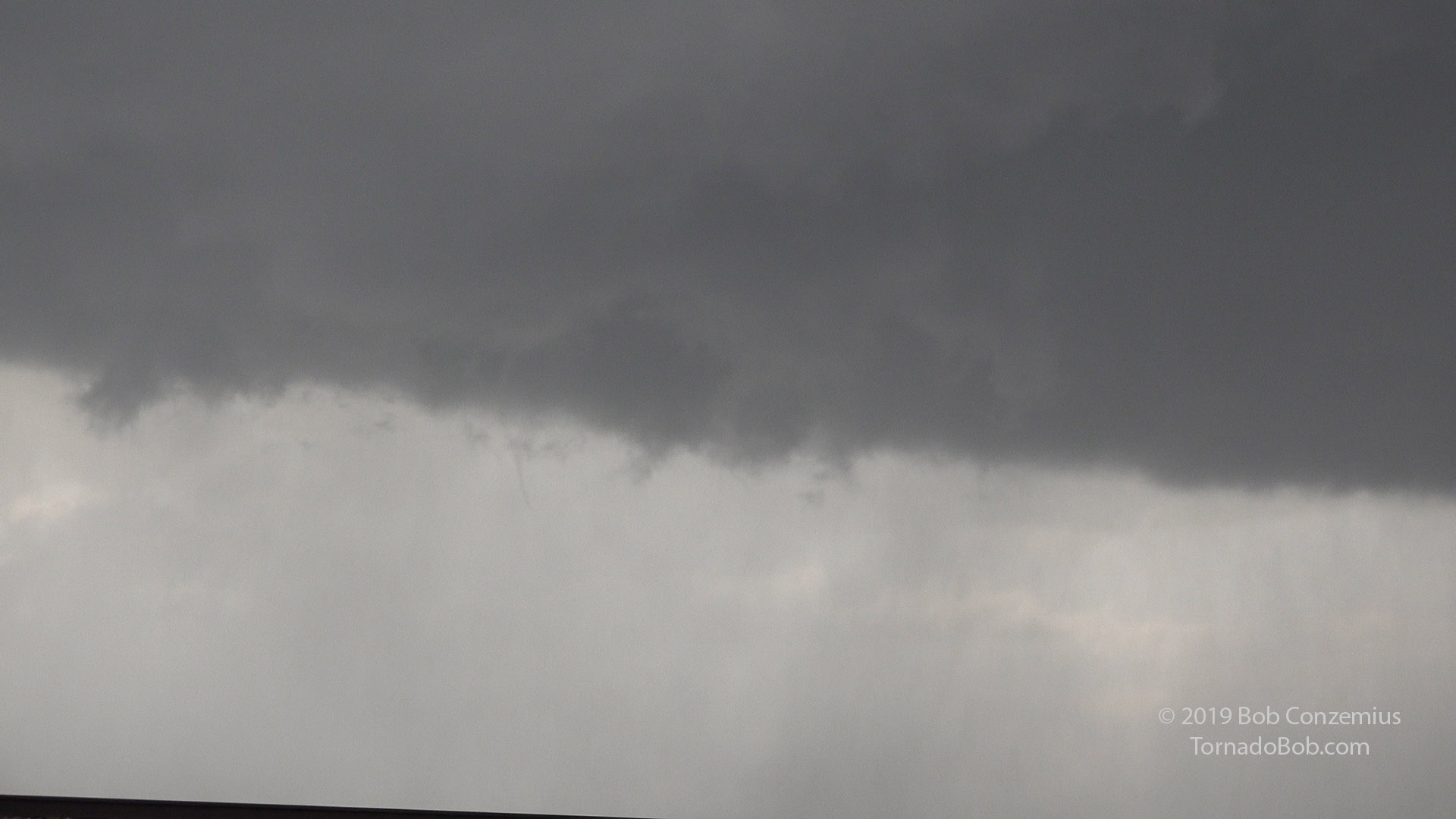
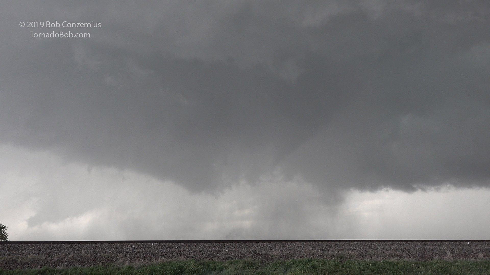
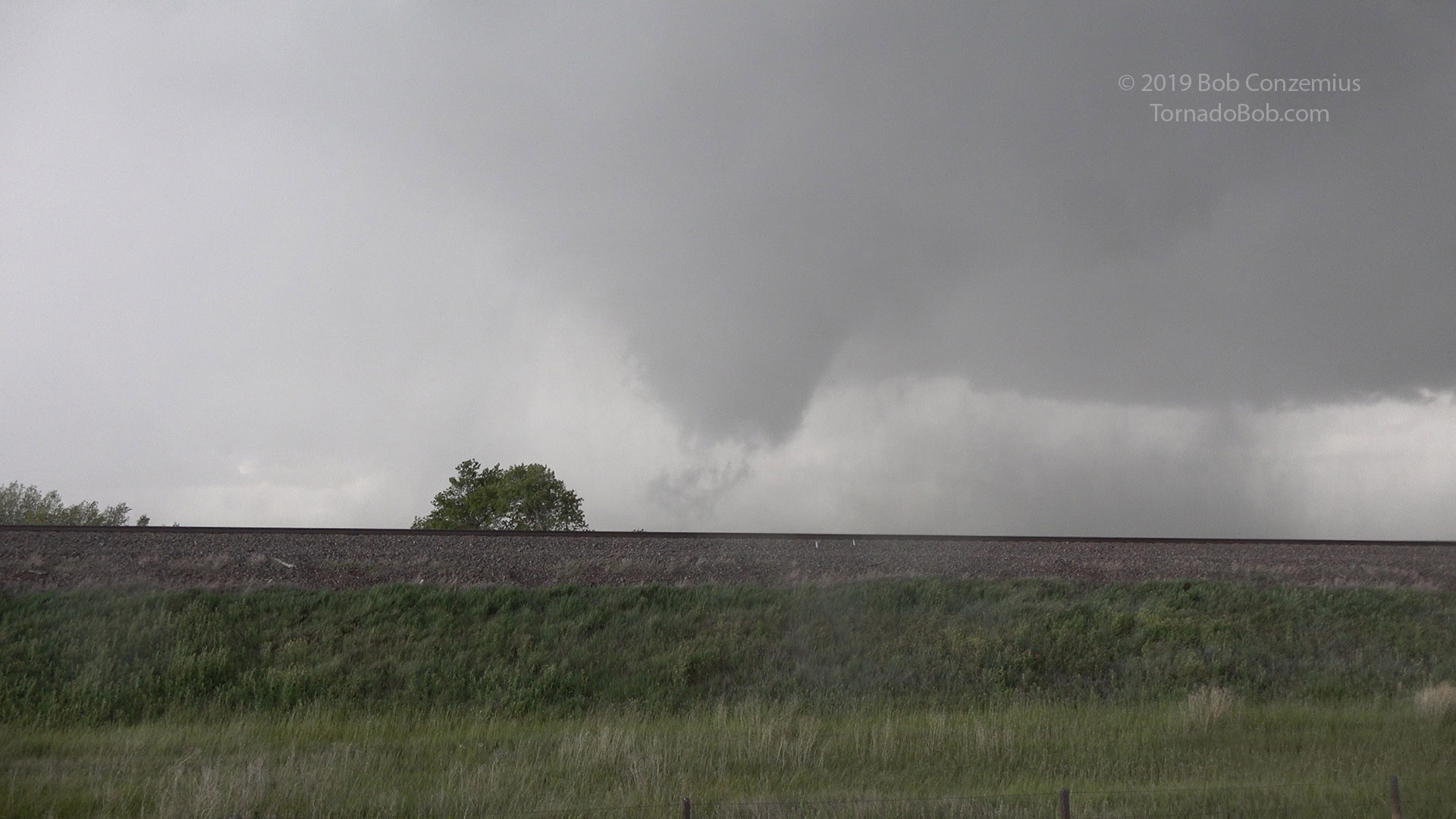
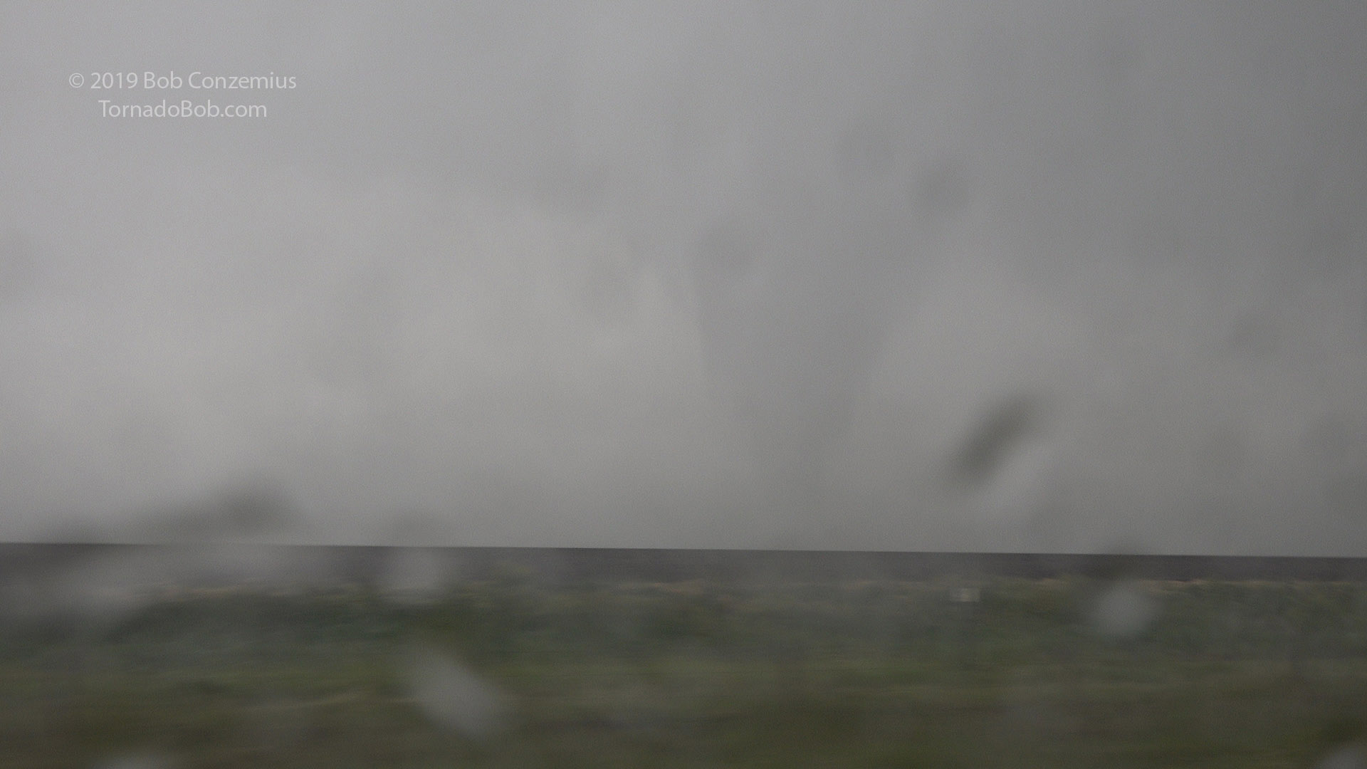
We continued to watch from our location as the rotation intensified and a needle funnel developed in the center. After a few minutes, this developed into a larger, ragged tornado right as rain curtains wrapped in from the southwest and got us wet. We decided to move out of the way to the southeast.
Do you see a needle funnel here? It is really hard to spot.
It still looks like a needle, even when zoomed in!
The needle funnel cycles around underneath the mesocyclone.
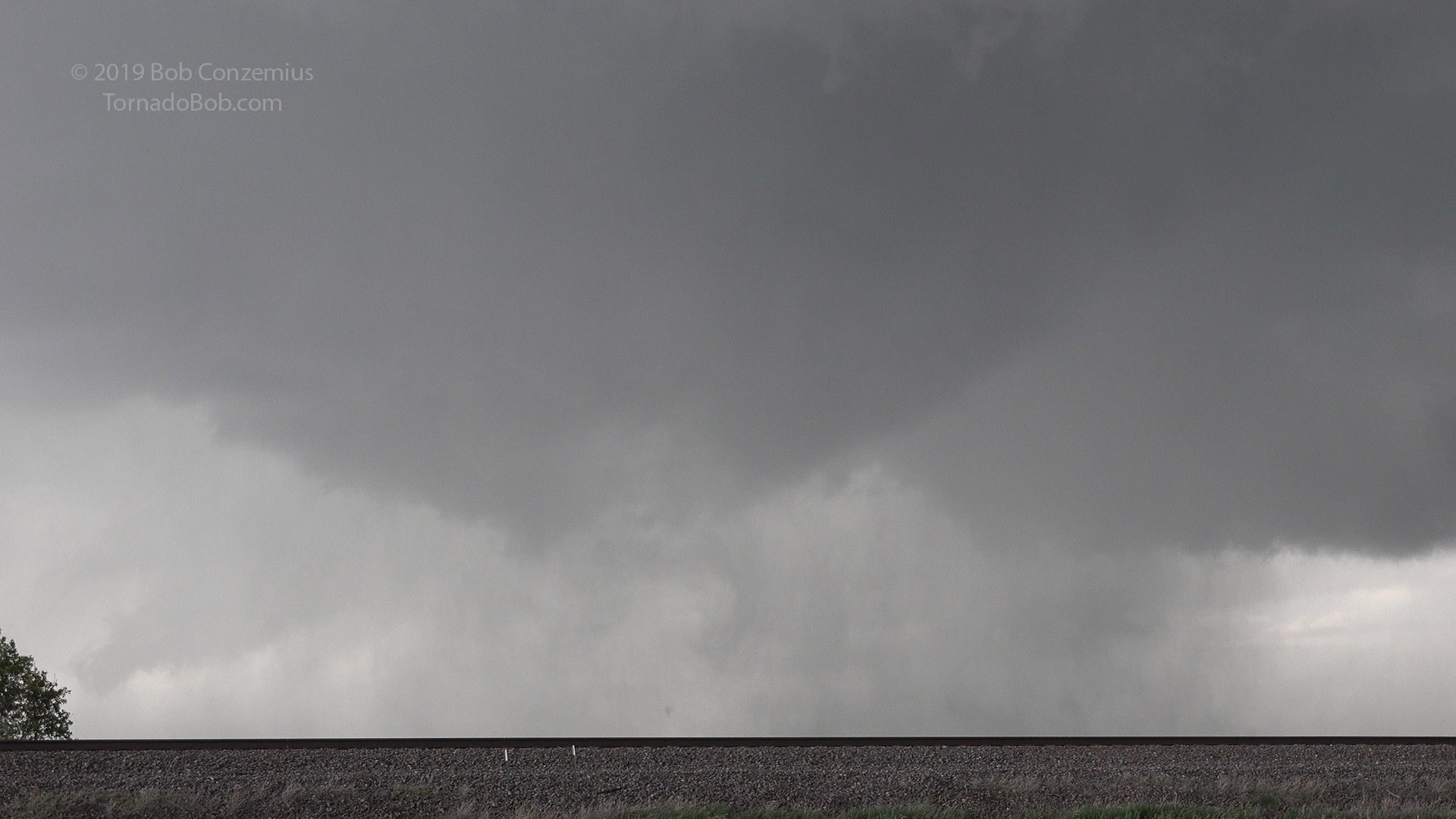
A enhanced the contrast a bit to bring out the needle funnel.
It now looks like more of a genuine funnel, but tilted a bit, just to the right of center in this picture.
The funnel is getting thicker but is still low contrast.
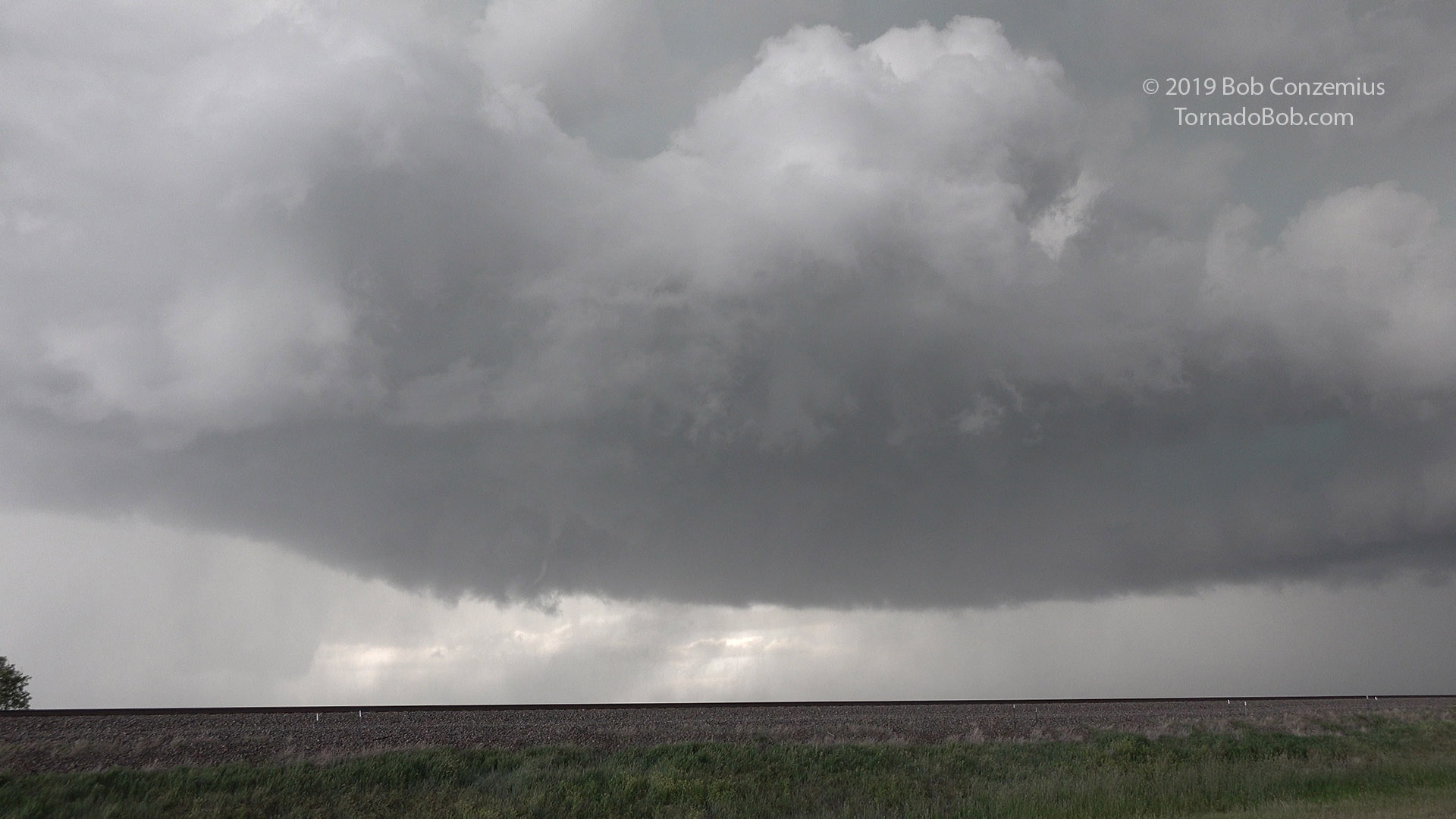
Now there is a ragged tornado.
I snapped a quick still picture as we hopped in the car.
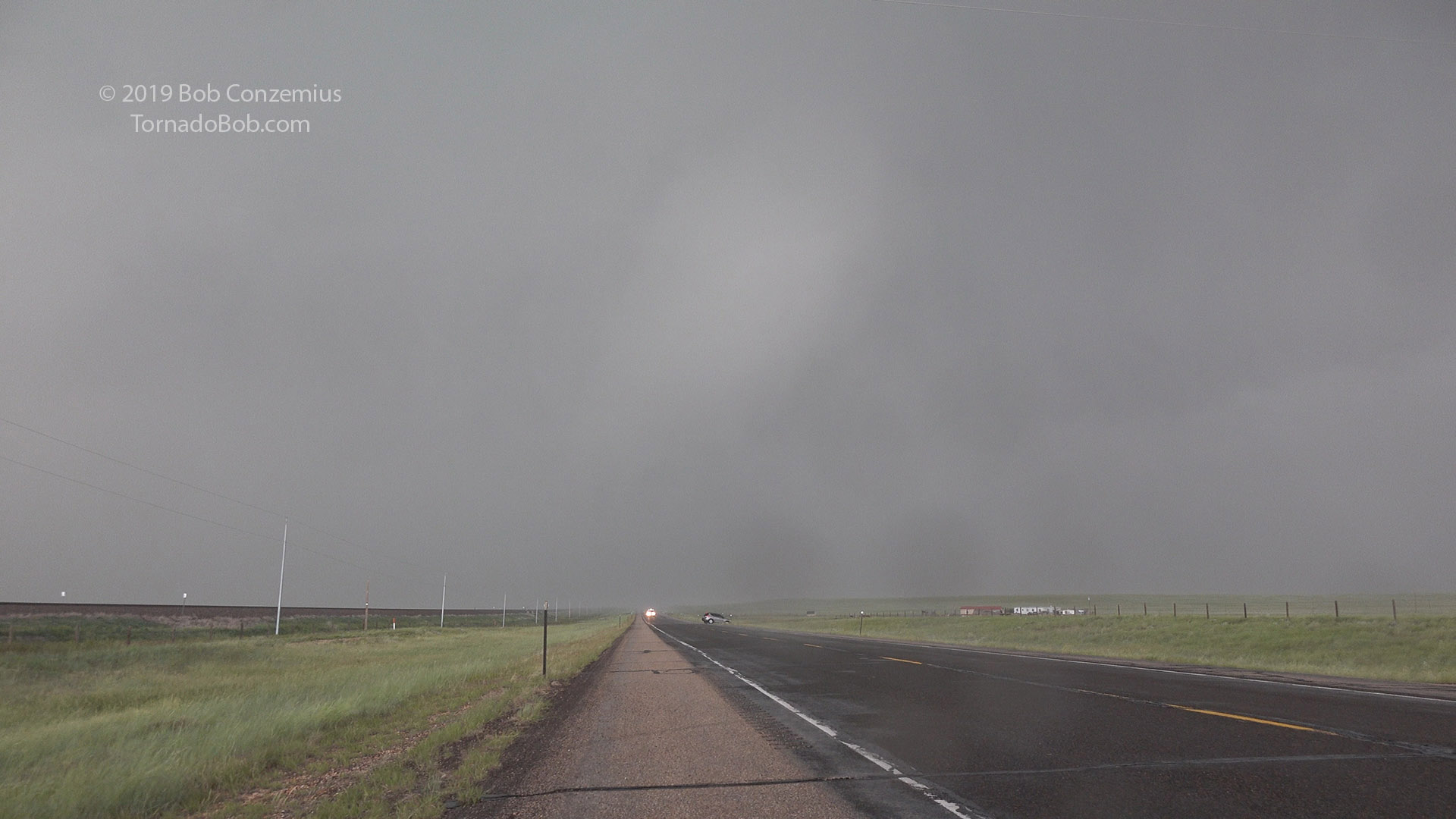
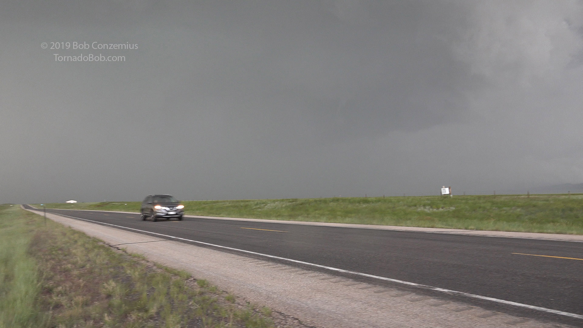
We got just barely south of the rain and stopped again to watch the tornado (now apparently weaker) cross the road behind us. We stopped yet again as it roped out to our northeast.
Here's the tornado with condensation fully to the ground as we were driving south in front of it.
A less well-defined tornado (the diffuse white cloud column in the middle) crosses the road.
A small rope funnel is all that is left of the tornado in this shot (to the right of center).
We continued to drive southeast toward Laramie and watched as another dust column rose to cloud base underneath a circular, small lowering at the center of the base. I'm not sure if that was a brief tornado or gustnado because there was little or no apparent rotation in the dust column.
We hopped onto I-80 and drove east as the whole storm system gusted out behind us. The tornadic phase was over. We stopped to look back at the storm at one point and found we were at a kite festival. We were asked what the storm was going to do, but it did not look like it would be much of a threat to the festival, so we continued east to Cheyenne, made the turn onto I-25, and headed back to Denver for the night
A shot of the storm as it appeared from the kite festival.
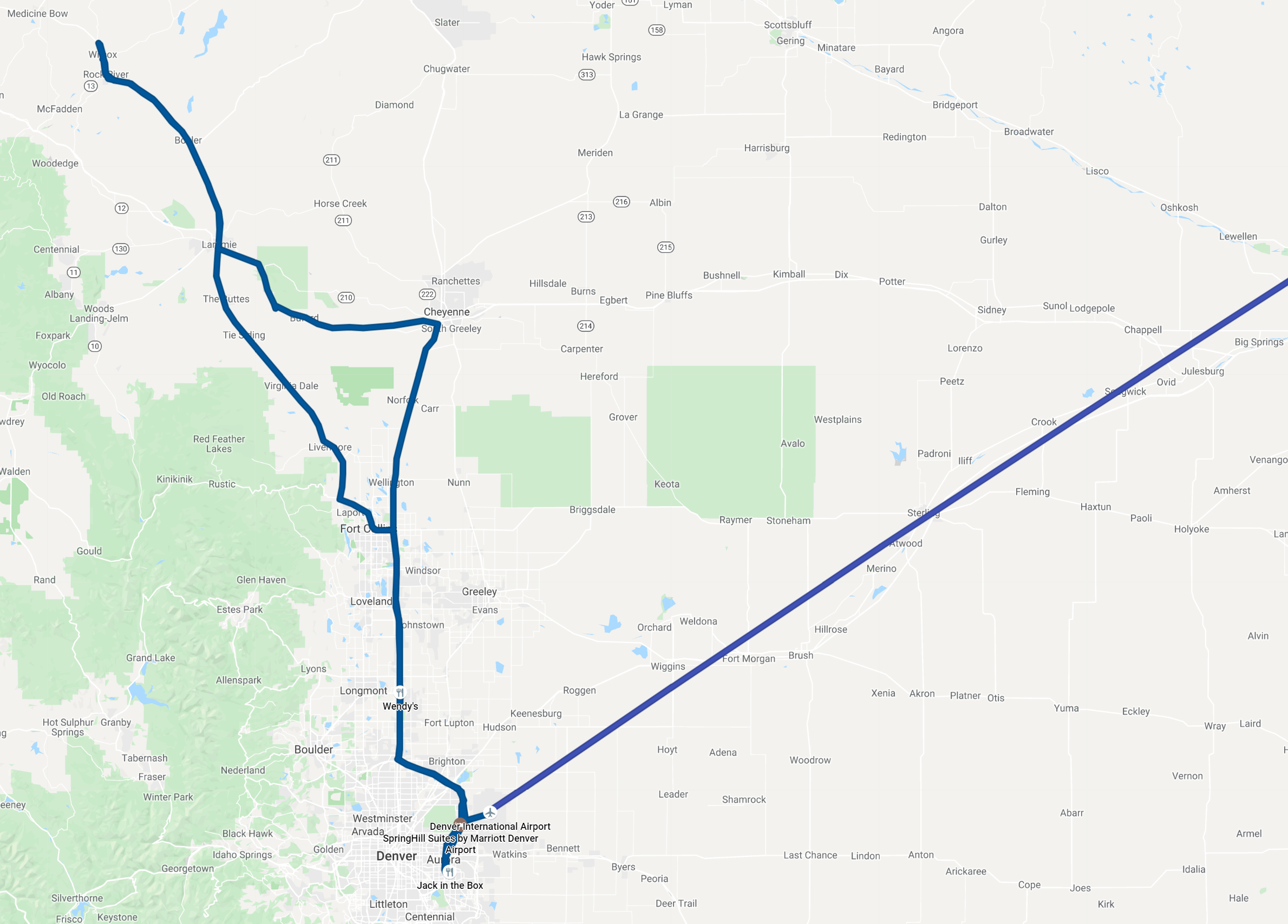
Route for the day. 680 miles of flying (for me), and around 400 miles of driving.