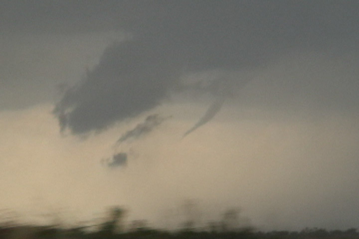
Condensation funnel of O'Brien, TX tornado starting to dissipate. It had been a little closer to ground than this.
Bill Reid, the Tempest guests, and I dropped south out of Oklahoma with a general target area of western north Texas, hoping to find a storm along the slowly sagging cold front. We had lunch in Vernon, TX. Upon finishing lunch, we had northeasterly winds in Vernon, so we decided to continue southwest out of Vernon. I had just announced that I thought we had gone far enough southwest when Bill noticed a developing storm tower directly ahead of us over Knox County. We drove directly toward this storm and were just north of Knox City when the rather high updraft base revealed itself to us. Very soon, I noticed a funnel protruding from this base, about halfway to the ground. Mike Umscheid was a few minutes ahead of us and managed to get some good shots of this storm.
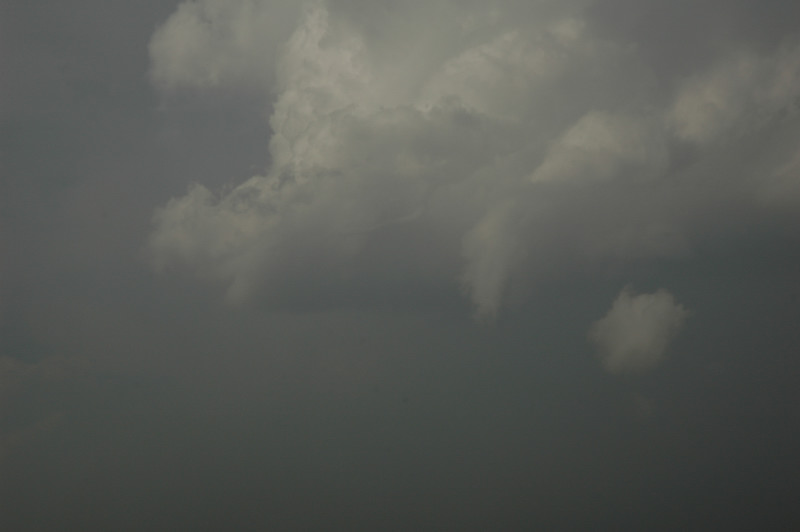
Once this tornado dissipated, the storm was essentially done producing tornadoes for the day. There were several wall clouds and weak mesocyclone occlusions at cloud base, but there was never very tight rotation. Some chasers claimed to see a brief tornado near Rule, TX, but we only saw occasional dust with the rear flank downdraft in this area. We continued southeast past Stamford, where the storm gradually dissipated, but not before producing a very slender funnel at the back edge of the cloud base.
We considered blasting north after the next cell moving toward Throckmorton and hedged our bets between the northern storm and hoping the southern storm would redevelop. We got to near Albany, TX and decided not to pursue the northern storm any further (Martin Lisius was on the storm and rather unimpressed with it) while our original storm continued to dissipate. We stopped for a while in Albany then drifted west as new cells developed about 50 miles away. We stopped for an extended session of lightning photography on a new supercell that became tornado-warned as it moved northeast of Abilene.
Condensation funnel of O'Brien, TX tornado starting to dissipate. It had been a little closer to ground than this.
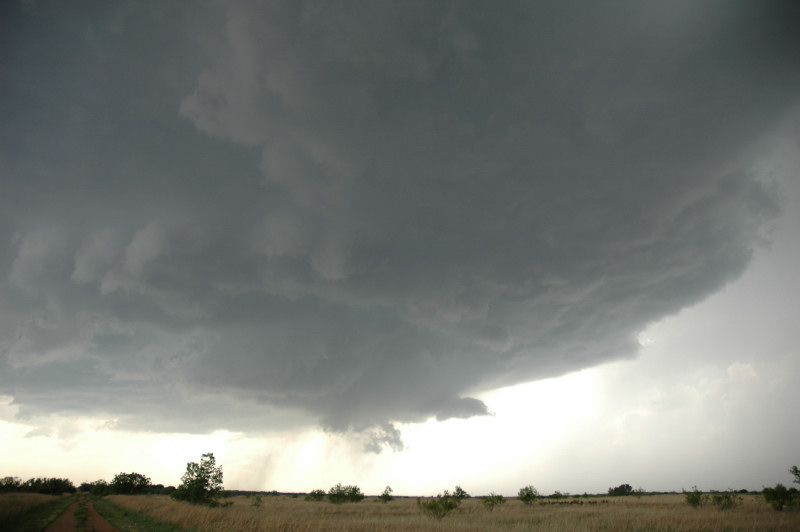
Wall cloud near Rule, TX around the time of second tornado report.
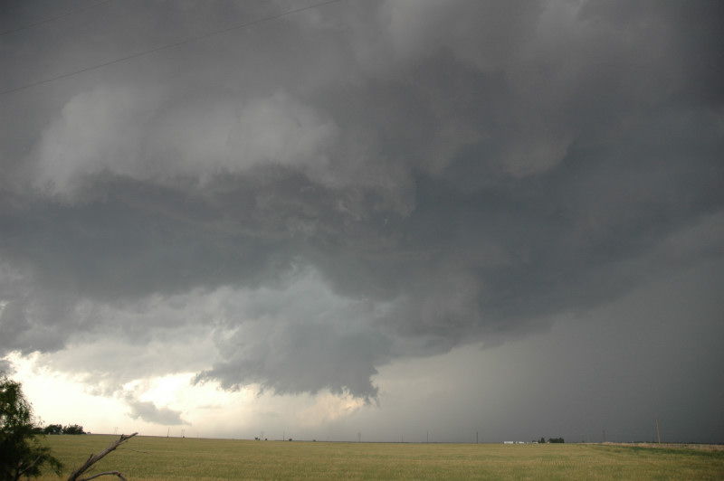
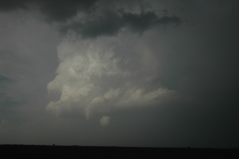
Mesocyclone occlusion.
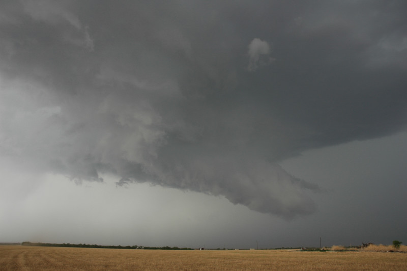
Inflow tail around 5:15 PM CDT.
Dissipating storm. Note the slender rope funnel (not the wider one hanging straight down).
Close-up view of the funnel.
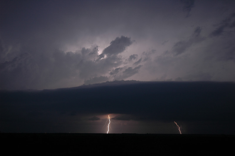
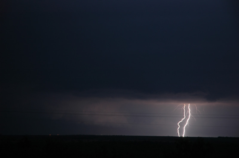
We stopped to photograph lightning about 8 miles west of Anson, TX.
Multiple CGs under approaching updraft base and shelf cloud.
Lightning (right) illuminating a wall cloud (left).
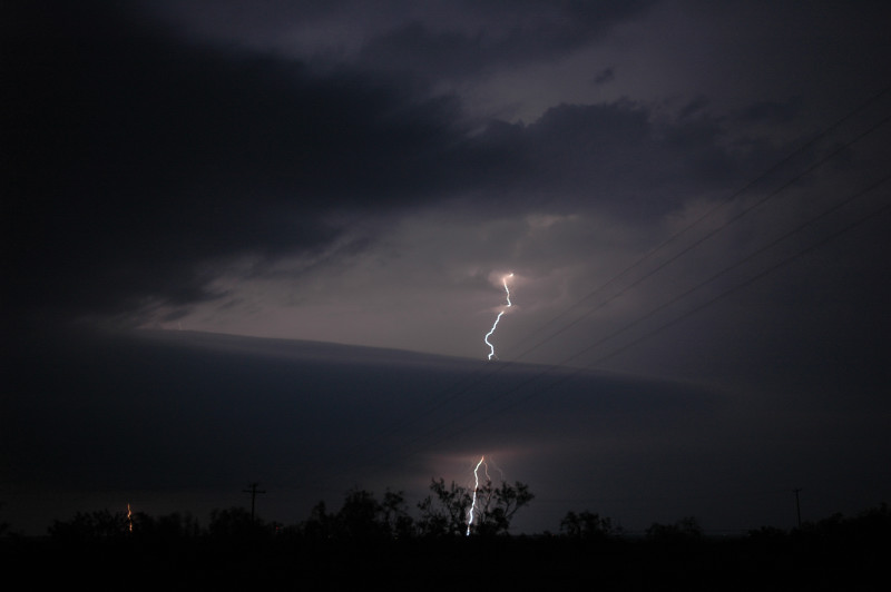
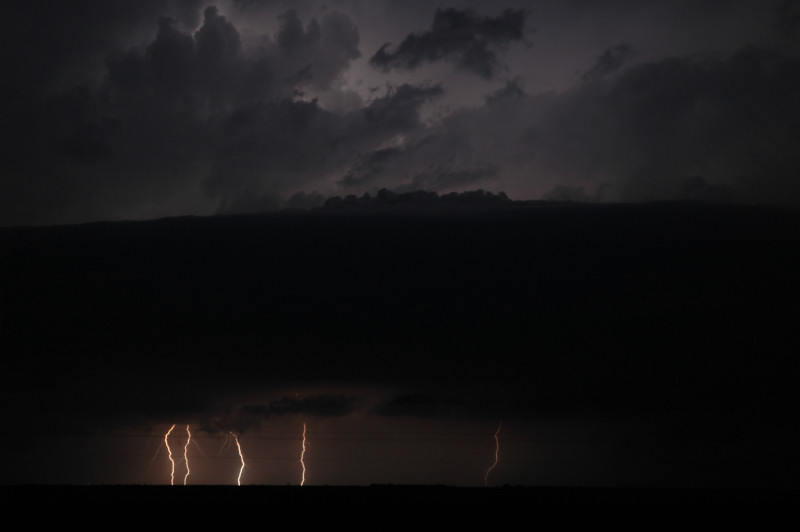
Lightning striking behind an inflow tail.
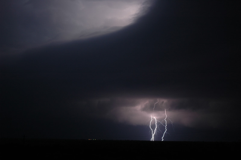
Lightning (lower right) underneath an inflow tail (upper right) illuminates the updraft tower (upper left).
This storm soon became tornado-warned and had a reported tornado northeast of Abilene.