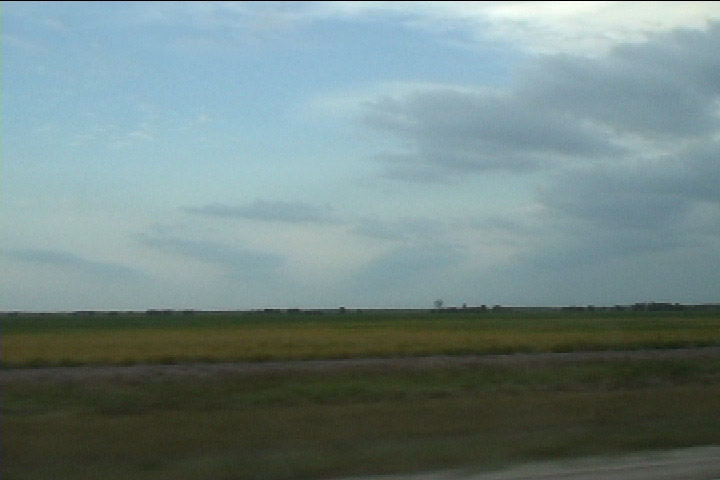
Boundary layer rolls viewed down the axis of the rolls.
These are the results from my chase on August 26, 2007 in northwest Minnesota. It was a very exciting in that the storms produced a mini-outbreak of tornadoes but also frustrating that I didn't see ANY of them. I had just installed most of the equipment in my car (yes, very late in the season) and had some bugs to work out. I was unable to plot my position on WxWorks software and unable to use GPS for mapping software as well. This was a solo chase, and I saw zero tornadoes. I still have never seen a tornado on a solo chase, even on days I've chased a tornado-producing storm.
My target storm was producing tornadoes before I got to it, but when I arrived, it was near Grafton, ND (I was near Drayton, ND), and I had a hard time seeing much structure. Additionally, there were a lot of small cells popping up immediately ahead of my storm, and that made things look a bit messy, both from a radar and storm-viewing perspective.
Boundary layer rolls viewed down the axis of the rolls.
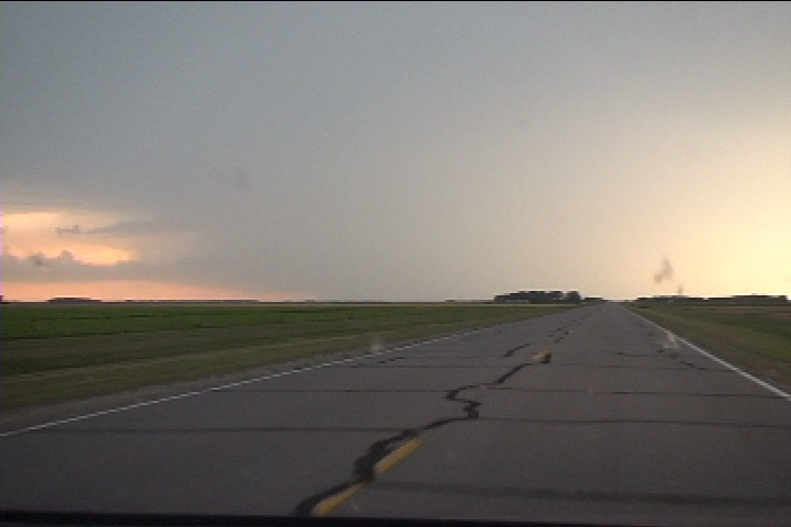
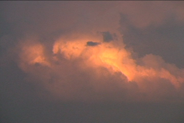
Target storm viewed from near Kennedy, MN at 0016 UTC.
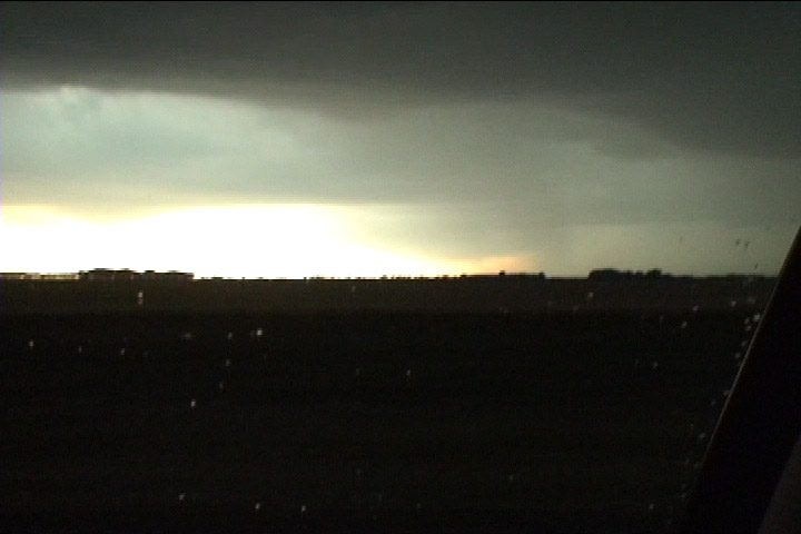
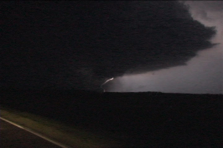
Tornado-warned storm looking west from just south of Drayton, ND at 0048 UTC.
Looking north from Marshall County Rd. 4 and MN Hwy. 220 west of Argyle, MN at 0101 UTC.
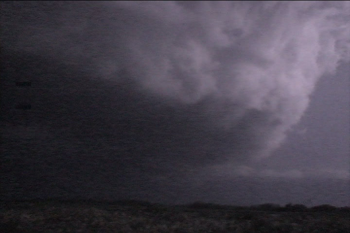
Storm to the southeast at 0108 UTC.
Learning of a great radar velocity signature and tornado report on the Northwood storm, I started south toward it but soon decided to stick with my storm. This probably did not cost me the Florian tornado at 0245 UTC because the only viewing angle may have been from the east... not sure, though. See NWS Fargo-Grand Forks page at http://www.crh.noaa.gov/fgf/?n=northwood_tor_track and look at the videos at the bottom. The Florian tornado was visible, but I'm not sure from what direction the video was taken. Anyway, I was on my way back northeast, probably 15+ miles away, when the Florian tornado occurred.
0210 UTC: Catching up, looking NNE from County 7 north of Viking, MN.
I got back ahead of the storm about 30 minutes later, then had a pretty nice late evening viewing lightning-illuminated storm structure. The lightning was frequent enough that I could occasionally discern some rotation at cloud base. The storm took me east across the Agassiz National Wildlife Refuge, where it produced its best structure.
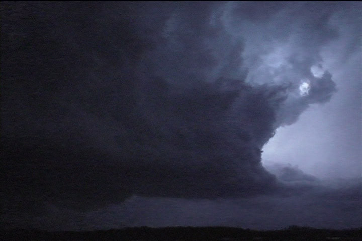
Structure of the storm at 0255 UTC viewed from Agassiz National Wildlife Refuge, looking NW.
Structure of the storm at 0255-0256 UTC viewed from Agassiz National Wildlife Refuge, looking NW.
Structure of the storm at 0256 UTC viewed from Agassiz National Wildlife Refuge, looking NW.
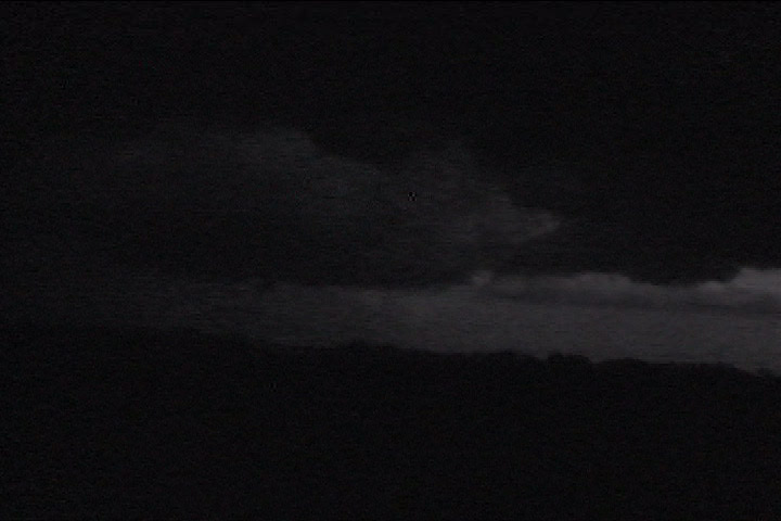
The storm was showing rotation at this point, produced a brief funnel and occlusion (0300 UTC).
After witnessing one mesocyclone occlusion at Agassiz NWR, I did not realize that redevelopment and backbuilding was occurring to my west. Sometimes tornadogenesis happens as the storm builds upshear (see here for such a case). According to the NCDC database, there was a tornado report at Newfolden at 0259 to 0301 UTC, which is where the southwestern tip of the storm is on the next radar image and about the time I finished my viewing at the last stop, or maybe a minute or two later. I got a call from my folks while moving to my next viewing location at the intersection of MN Hwy 219 and County Rd 7. While on the phone, I noticed a very suspicious area to my west-northwest, thinking it was possible I was looking at a tornado. When I got out of the car, I viewed the particularly suspicious area to my west-northwest after I had exited the eastern side of the refuge at 219 and 7. This suspicious area lasted for several minutes as I filmed it. I doubted it was a tornado, but I could not conclusively say there wasn't a weak one in there, amidst a large, blocky, rotating action area. In retrospect, this certainly appears to be the area that produced the Newfolden tornado that is in the NCDC database. The area that I had been watching was an old, occluding action area, which is somewhat strange, because when I've viewed such backbuilding storms in the past (see 16MAY99 and 25JUL00), the old action area usually moves northeast and disappears in the main rain area of the storm, whereas this one stayed to the south of the rain.
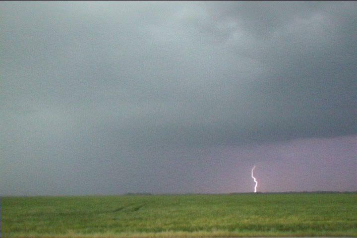
Afterward, I continued east to Fourtown, MN, and the storm started to produce some nice cloud-to-ground lightning, so I stopped a couple times for some still photography.
When I finished the lightning photography, it was really late (11 PM), so I headed for home. I thought I could beat the next storm to the south, which by now had turned into a forward propagating MCS. I did not beat it. It caught me at the northwestern corner of Lower Red Lake. My car was nearly struck by lightning as one stroke hit less than 50 meters away, to the left, and just behind me in a set of farm buildings I was passing. On the south side of Lower Red Lake, I saw power flashes ahead of me and soon came upon downed trees and power lines. I managed to make it home at 1:30 AM, and the storm arrived in Grand Rapids shortly after I did.

This is the radar reflectivity image taken at 0256 UTC. I am at the southeastern edge of Mud Lake (marked on the radar map) in Agassiz NWR in central/eastern Marshall County, looking north-northwest. According to the radar image, I am looking at the eastern part of the storm, whereas I had thought I was looking at the rear (southwest) flank.
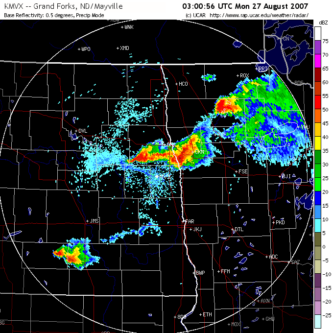
Radar reflectivity at 0300 UTC. The following sequence of images is taken from my viewpoint just east of Agassiz NWR (just to the southeast of Mud Lake, which is marked on the radar map). According to NCDC database, a tornado occurred at this time at the southwestern edge of reflectivity of this storm (3 ESE Newfolden).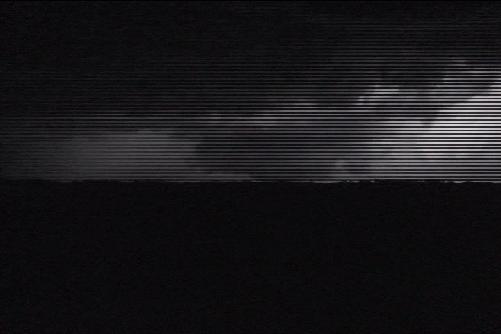
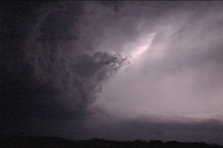
Suspicious area at 0306 UTC, looking WNW over Agassiz NWR from Marshall Cty. 7 and MN 219.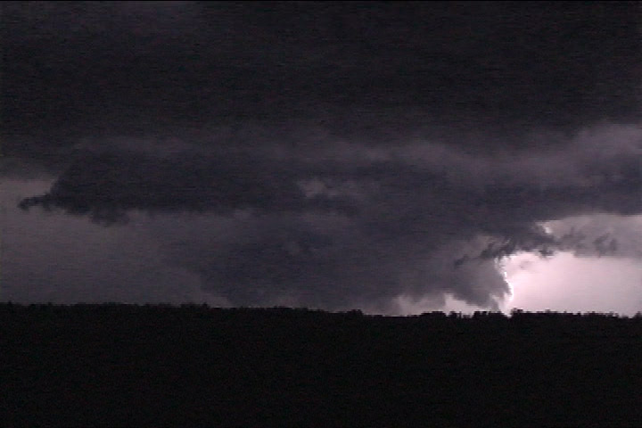
Suspicious area at 0306 UTC, looking WNW over Agassiz NWR from Marshall Cty. 7 and MN 219.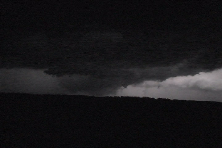
Suspicious area at 0306 UTC, looking WNW over Agassiz NWR from Marshall Cty. 7 and MN 219.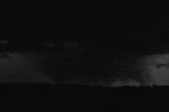
Suspicious area at 0306 UTC, looking WNW over Agassiz NWR from Marshall Cty. 7 and MN 219.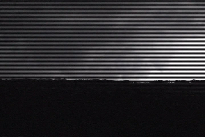
Suspicious area at 0306 UTC, looking WNW over Agassiz NWR from Marshall Cty. 7 and MN 219.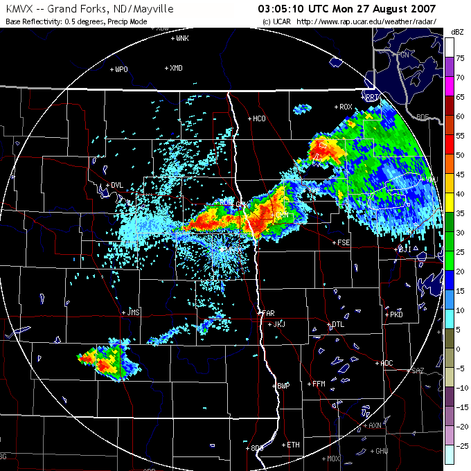
Radar reflectivity at 0305 UTC about when the previous set of images was taken. The feature I was looking at would probably be just west of Mud Lake on the far southwestern flank of the storm.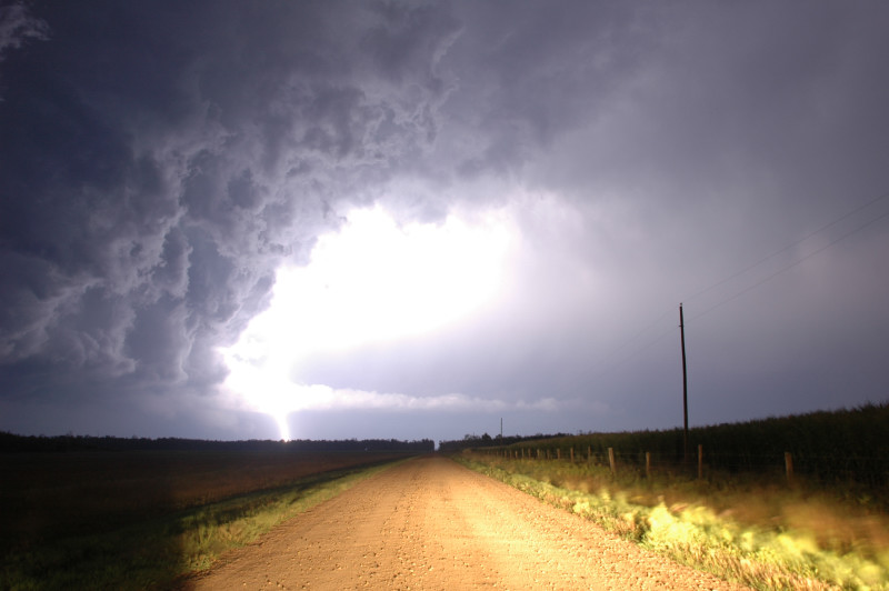
Lightning-illuminated storm structure.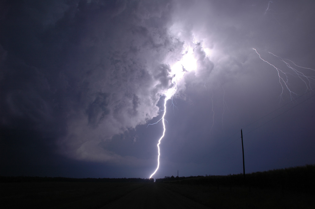
Just before 0400 UTC west of Fourtown, MN.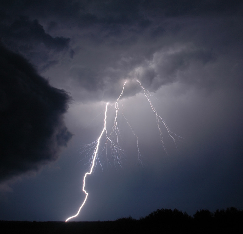
Near 0400 UTC at Fourtown, MN.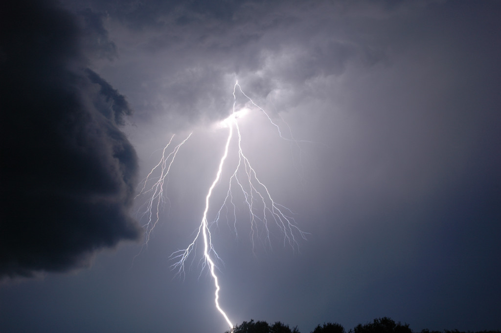
0405 UTC at Fourtown, MN.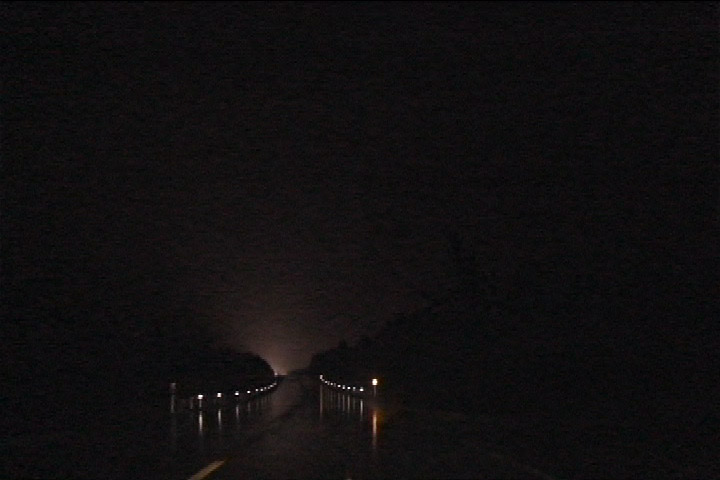
Power flash at 0449 UTC west of Redlake, MN.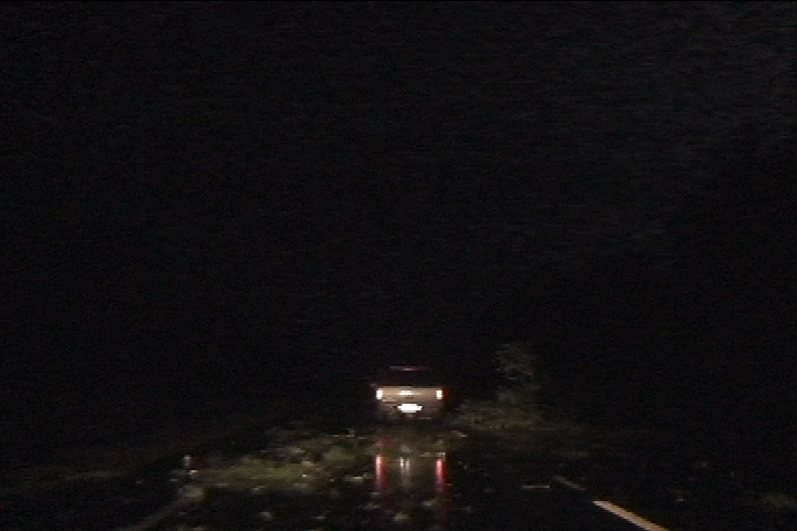
0452 UTC about 4 miles west of Redlake, MN: trees and power line down.