Click here for pictoral summary (about 100 kbytes).
After a long, but successful, chase in north central Kansas the previous day, we were ready to drive back home to Minnesota. However, ingredients looked better for severe storms today then they had yesterday. This time, very little overnight convection had occurred, with virtually none to our south, so a high theta-e airmass (70-degree plus dewpoints) was in place from our point southward, right where we would want it to be. A small surface low was located right over our location in York, NE, with a warm front stretching eastward/northeastward from there, and a cold front was also progged to slowly sink southeastward across the Plains. In addition, it appeared an outflow boundary had been lain out east-west across extreme southern Iowa from convection in the morning. Forecast-wise, ETA and other models were forecasting a slot of dry air to surge northeastward through a good part of Kansas, enhancing the severe weather potential. The Storm Prediction Center had a moderate risk for severe thunderstorms and tornadoes across much of the central Plains from York, NE southward.
We liked the area from extreme southeastern Nebraska into southwestern Iowa the best, being just northeast of the progged dry punch with great moisture convergence. We left York around 11:00 a.m. in increasing northerly winds, so we knew we had to move east or south. As we moved east, we quickly returned to good southerly surface winds.
We stopped in Lincoln to look at data. We were in an area of large, low-based cumulus and hazy skies, and it was humid with light southerly winds. The theta-e axis was pointed right at our location, and we were in a convergent area. However, due to the north winds just to our west, I was thinking the whole system might be slipping southeastward a little bit, so Shaun and I decided to drop south to Beatrice.
I felt not so confident in doing that for some reason, but I wanted to get into a little more sunshine. By the time we got to Beatrice, the moderate to towering cumulus field was not longer with us, and the wind had turned southwesterly and increased, a good indication to get back northeast. It was now about 1:30. The National Weather Service in Valley, NE was detecting some storms trying to fire just north of the Lincoln Area, so it was obviously the best place to be.
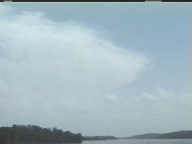
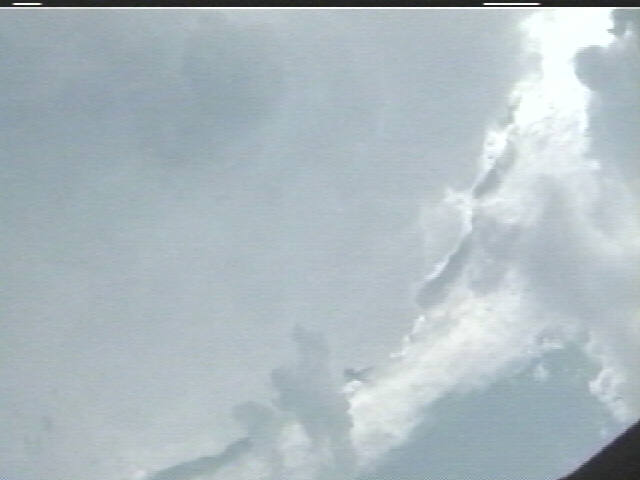
Upon heading northeastward on I-80 from Lincoln, we saw the storm towers erupting ahead of us, and they looked really healthy. One was near north near Onawa, one in the middle near Blair, and the southernmost storm near Glenwood in Mills County. Before we got to Omaha, a large, backbuilding anvil had spread out from the southern storm, so it became our target cell. A severe thunderstorm warning was issued for Mills County, which was soon replaced by a tornado warning. A tornado warning was also issued for the Blair storm.
Expecting storm movement to the northeast, and anticipating a transition into the HP phase, we decided to move around the northern side of the Mills Co. storm and get ahead of it a little, then drift southward and let the rear flank of the storm come at us. That would put us in a good spot east-northeast of the action area, should the HP process get underway. We moved east along Iowa Highway 92, then did our southward drop just west of Carson. We realized after we had done so that the storm was either backbuilding considerably, or it wasn't moving at all. Meanwhile, the Blair storm was producing a large tornado with injuries and fatalities, but our storm was southernmost, and it appeared it would soon choke off others to its north, so we kept to our target.
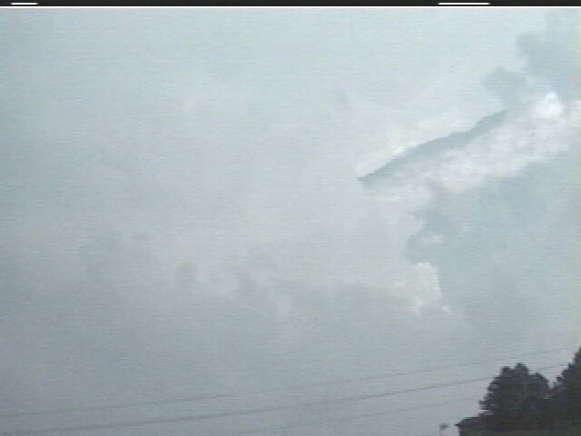
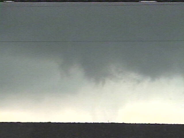
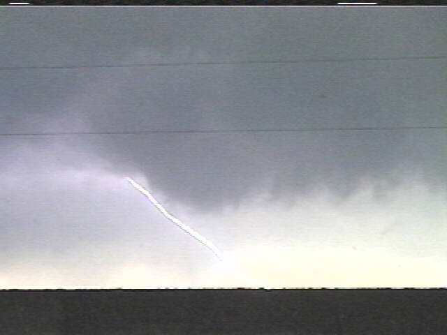
We had to move back west to about Silver City before we could see the updraft base. We saw quite an extended inflow tail off to its east. We slowly moved north, along with the meso/updraft base, stopping periodically to take video. Surface inflow winds were from the east, right into the updraft base. At one point, about three or four miles south of Treynor, a rotating wall cloud began to develop, amidst frequent cloud-ground lightning strikes right around us. The wall cloud sort of fizzled and drifted north of us, so we re-deployed north-northeast, through Treynor. Rain was now moving in from the southwest. As we got north of Treynor, we got into light rain, and our winds shifted to the northeast, a good indication to turn around and look behind us.
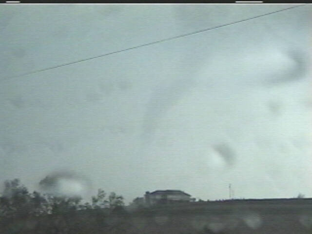
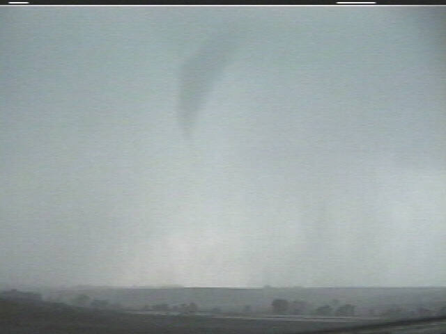
There it was! A rain-wrapped funnel about 3/4 down to the ground! We called it into NWS Valley, but we could not confirm ground contact as we headed back south to Treynor in now very heavy rain. A couple minutes later, other meteorologist/spotters called in to report flying debris with the funnel, so indeed, it was a tornado, and so we could claim two successful days in a row!!!
With rain and even some hail wrapping around us, we decided to bail east, and with any tornadoes from now on being rain-wrapped, we decided it was a good time to head home (we had a long drive ahead of us). As we drove east, the meso still looked healthy off to the northwest, but we were still in rain and hail. We got out of the rain and hail east of Oakland and heard of more tornado touchdowns back in Treynor. It must have been another meso from the southwest. This was very much a backbuilding storm system, with updrafts and accompanying circulations developing to the southwest and moving northeast in the storm.
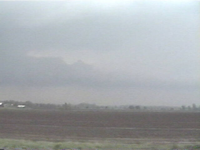
Hearing of the larger tornadoes, we dropped back west to Oakland and waited for the storm to come at us. Winds were moderate from the east-northeast as the latest meso approached. It showed a really nice hook on radar. Visually, we could see an inflow band to our northwest, moving west-southwestward into the meso. The dark updraft base slowly approached, CG's started popping, and 1/2" to 1" hail started falling. We let it get just close enough for us to see that there was no tornado before we headed back east. The meso fell apart, and the inflow band was now starting to look more like a shelf cloud as the updraft began shifting to the forward flank of the storm. Other hooks were developing off to the southwest. The Mills/Pottawattamie County area had now been under a tornado warning for almost three hours.
By this time, we had to decide whether to head home in front of the line of storms (which now stretched from our area up to about Mason City) or behind it. We chose to try and stay ahead. We got around the I-80/I-35 turn in Des Moines before getting caught by a bowing part of the line just north of Des Moines. For the second time, we were in a tornado warning. This time, the warning was for a comma head tornado, but it was after dark, so we elected not to try to find it.
We continued home, taking video of the lightning show along the way.