June 24, 2024 Severe Storms
Northwestern Minnesota
There was a slight risk of severe storms across much of Minnesota, and there was also a small threat of tornadoes (just a 2% area). I had an opportunity to chase after work, so off I went. Some severe storms were developing in far northwestern Minnesota, and I could have a nice out-and-back chase in the evening.
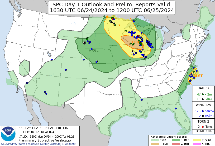 |
| SPC 1630 UTC Day 1 outlook with verification. |
I left home and headed west on Highway 2. There were some small supercell-type storms headed for the Big Bog area, which has essentially no roads, but the tail end of this broken line of storms, albeit weaker, was reachable to the west of Red Lake. I drove west to Bemidji and then turned north on Minnesota Highway 89. On this northbound road I made the decision to target the tail end storms. I turned west on Aure Road and continued to Clearbrook. I hopped on 92 northwest and took that to Gully Township. I turned north on Polk County Road 2, which crossed into Pennington County and became County Road 27. This road took me into open farmland, and I was able to get a good view of the line of storms. I arrived at my target storm around 7:30.
There had already been one brief tornado report on a storm farther north, but that storm had been out of reach. My storm was intensifying, and as I approached the line, I could see larger updraft bases form to my northwest, and then precipitation began falling out of them as they moved eastward. When I arrived at my storm, it had a pretty flat base and only a little bit of a wall cloud, but there were some big hail reports-- a 2" and a 2.75" report from either side of Goodridge, which was about fifteen miles to my northwest.
 |
| Updraft base of the storm when the storm was producing baseball size hail. |
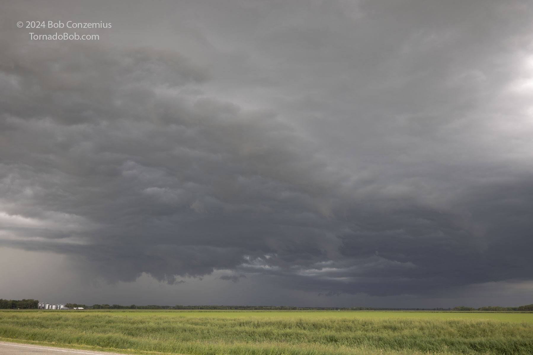 |
| To my east, there were some other storms with more pronounced lowerings. |
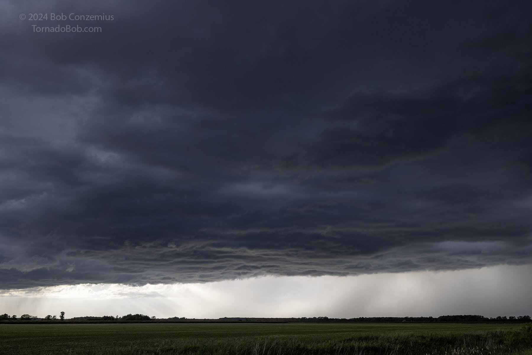 |
| Nevertheless, this storm was producing the most severe weather. |
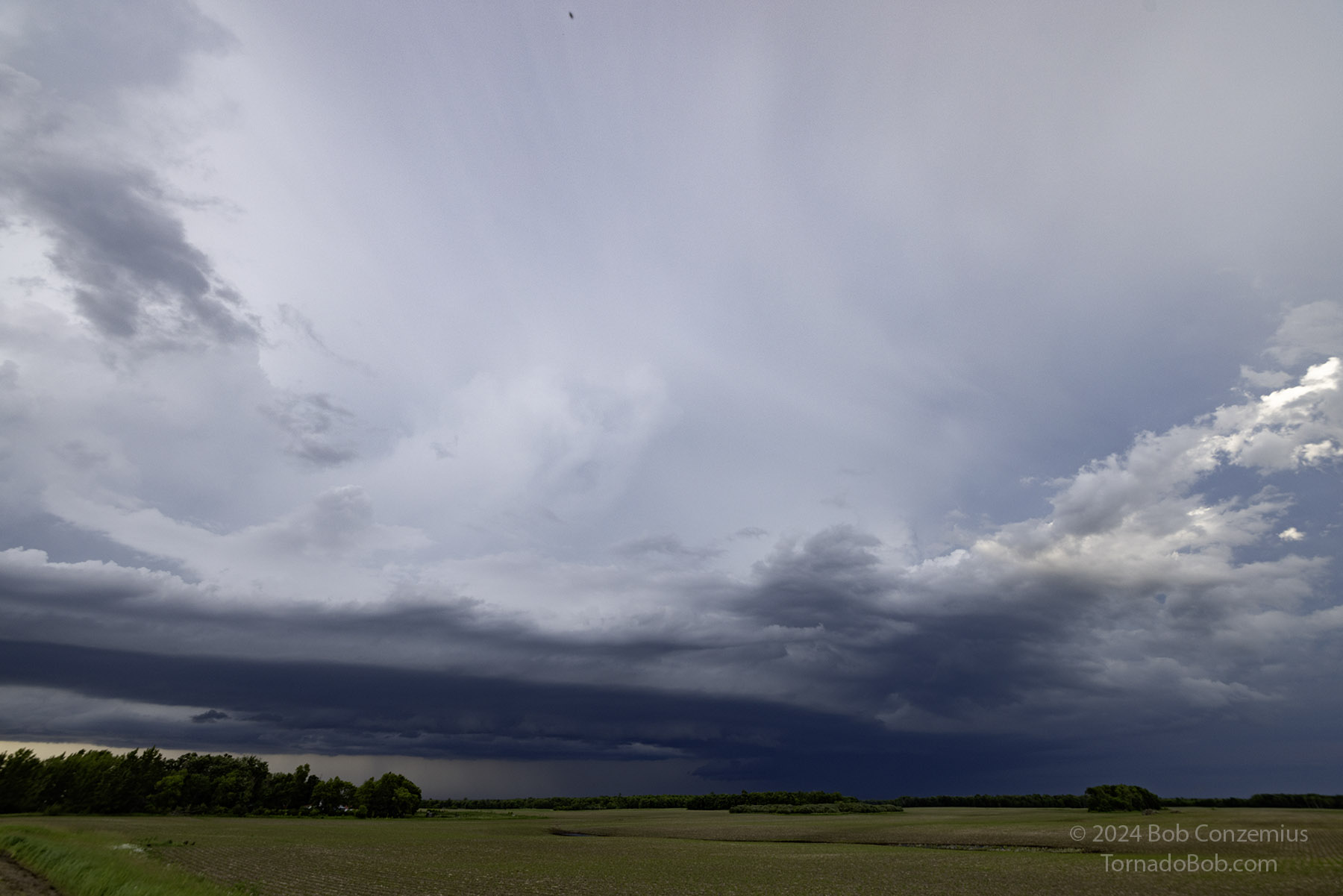
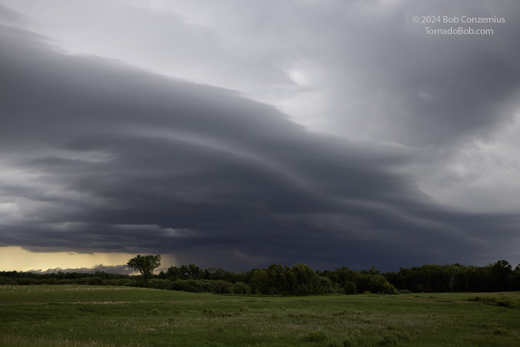
After spending some time photographing this storm and watching it approach, I retreated back south through Gully and turned east. I navigated across the north side of Clearbrook and drove east on Clearwater Lake Road. The storms were diminishing a bit in intensity and no longer backbuilding to the southwest. My storm was now pretty much on its own, and there were no competing storms to its southwest. Nevertheless, it did not look quite as strong as before, and the updraft base was not as broad. I stopped to take some photographs along the way. The road was taking me back into more forested areas, and it became increasingly challenging to view the updraft base.
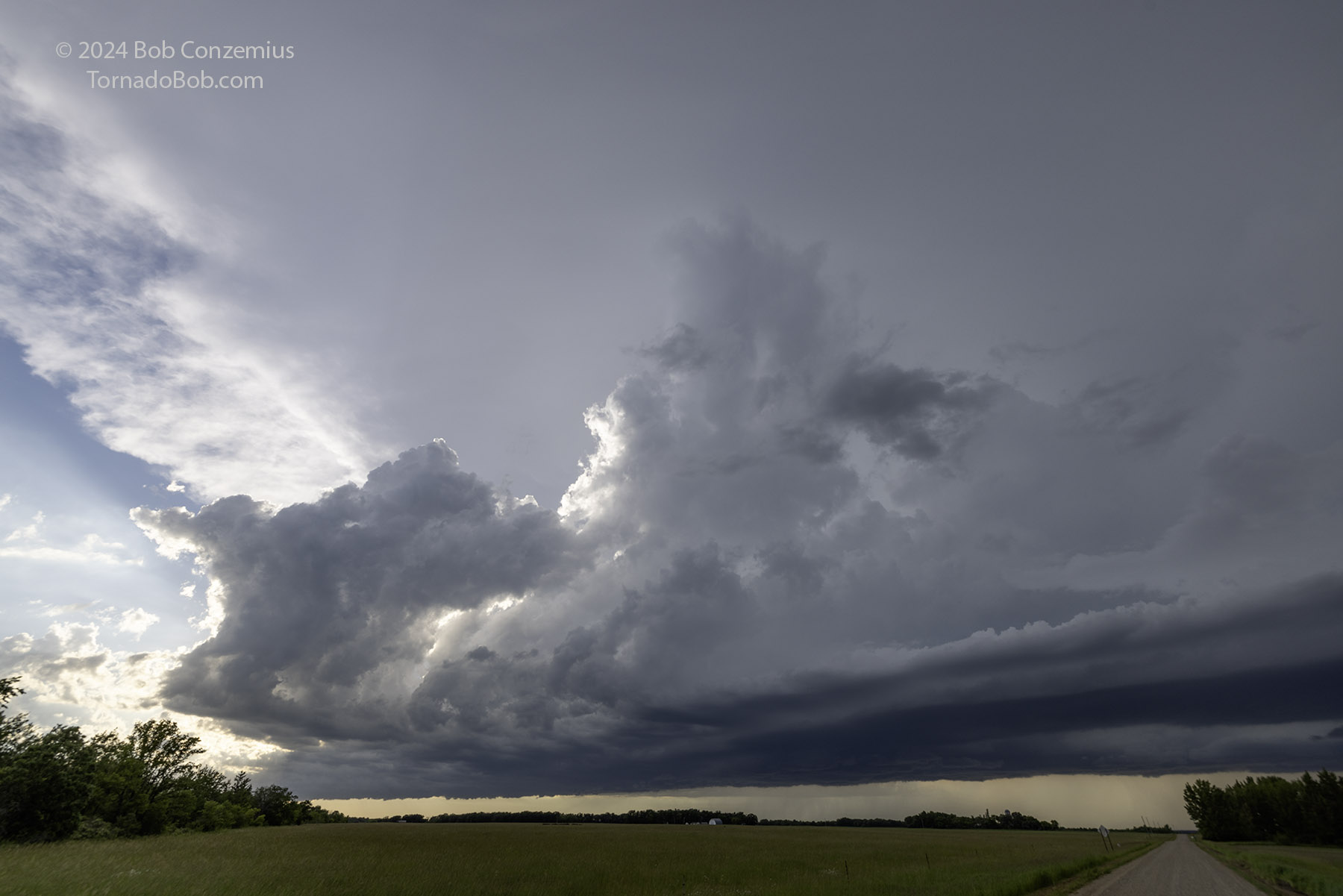 |
| My storm was now fairly isolated. |
 |
| I let it get a little ahead of me and viewed from the southwest. |
 |
| It doesn't look like much, but it was still producing 2" hail. |
My storm moved into the Red Lake area, and additional, smaller cells were developing again to my west, so I decided to look at the newer cells. They weren't as intense, but the sun set beneath them, illuminating their underside in an orange glow. I stopped at the intersection of Minnesota Highway 89 and Beltrami County Road 22.
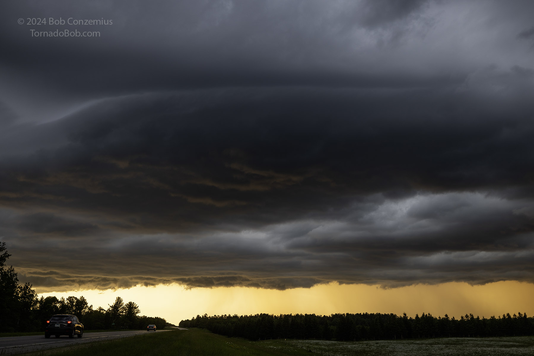 |
| The sun sets under a new storm. |
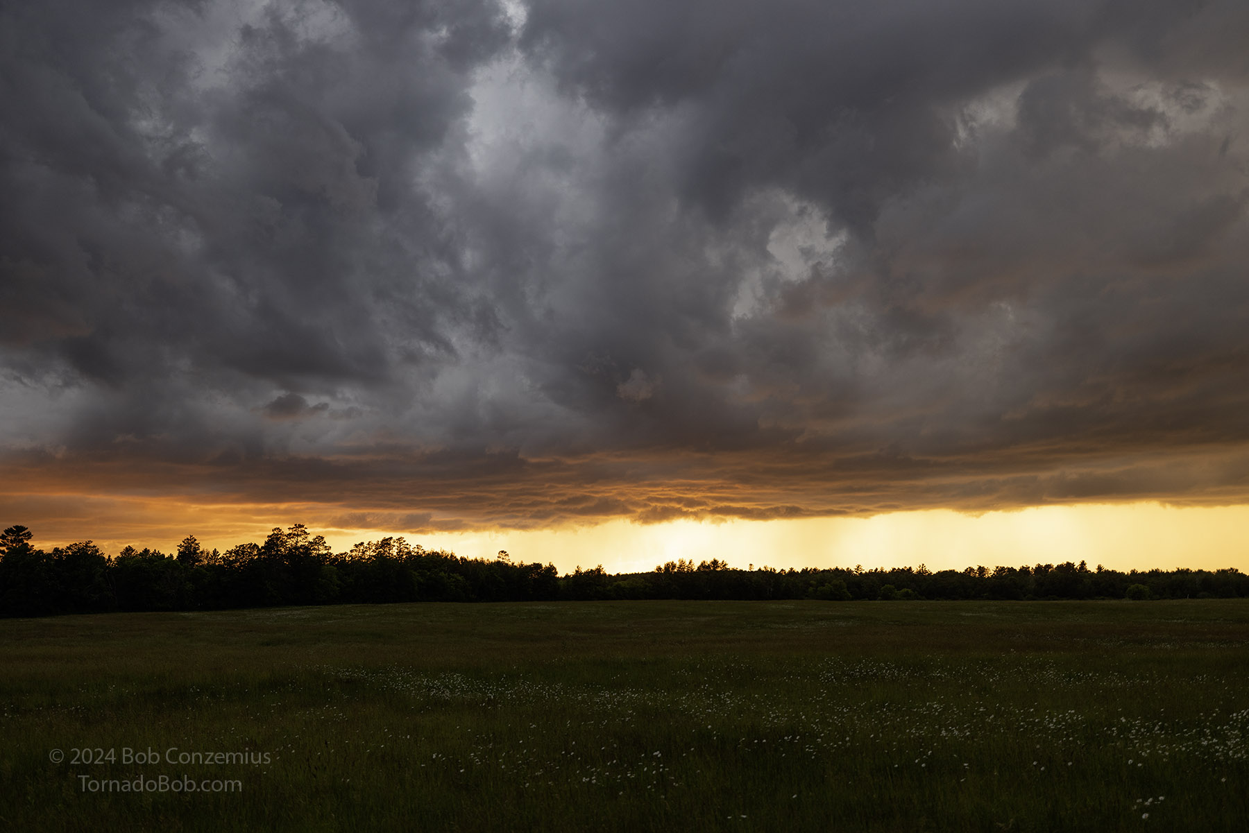 |
| Sunset at 9:19 PM CDT. |
I then turned southeast back to Bemidji where I hoped to get some snacks before heading home. I stopped at the Supercharger and plugged in, but the neighboring convenience store was closed. I went back to my car, and a new warning was issued for a storm immediately to my northwest. I risked being in large hail if I stayed any longer, so I unplugged and made my way back to U.S. 2. It didn't take me long to get to a safer spot. I exited at Division Street W and pulled into the Bemidji High School parking lot to watch the updraft base and action area approach. I could very quickly get back on Highway 2 if I felt hail was imminent.
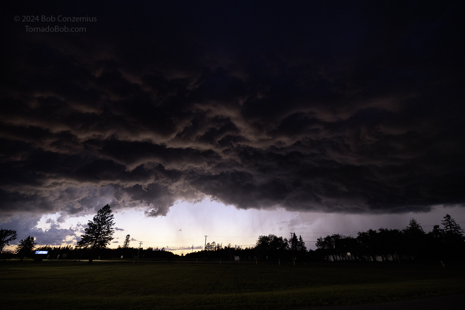 |
| Storm on the southwest side of Bemidji at 9:55 PM. |
When the first precipitation started to fall, I got out of there, and I blasted back southwest on Highway 2. I stopped west of Cass Lake to take one more look at the updraft base and then headed home.
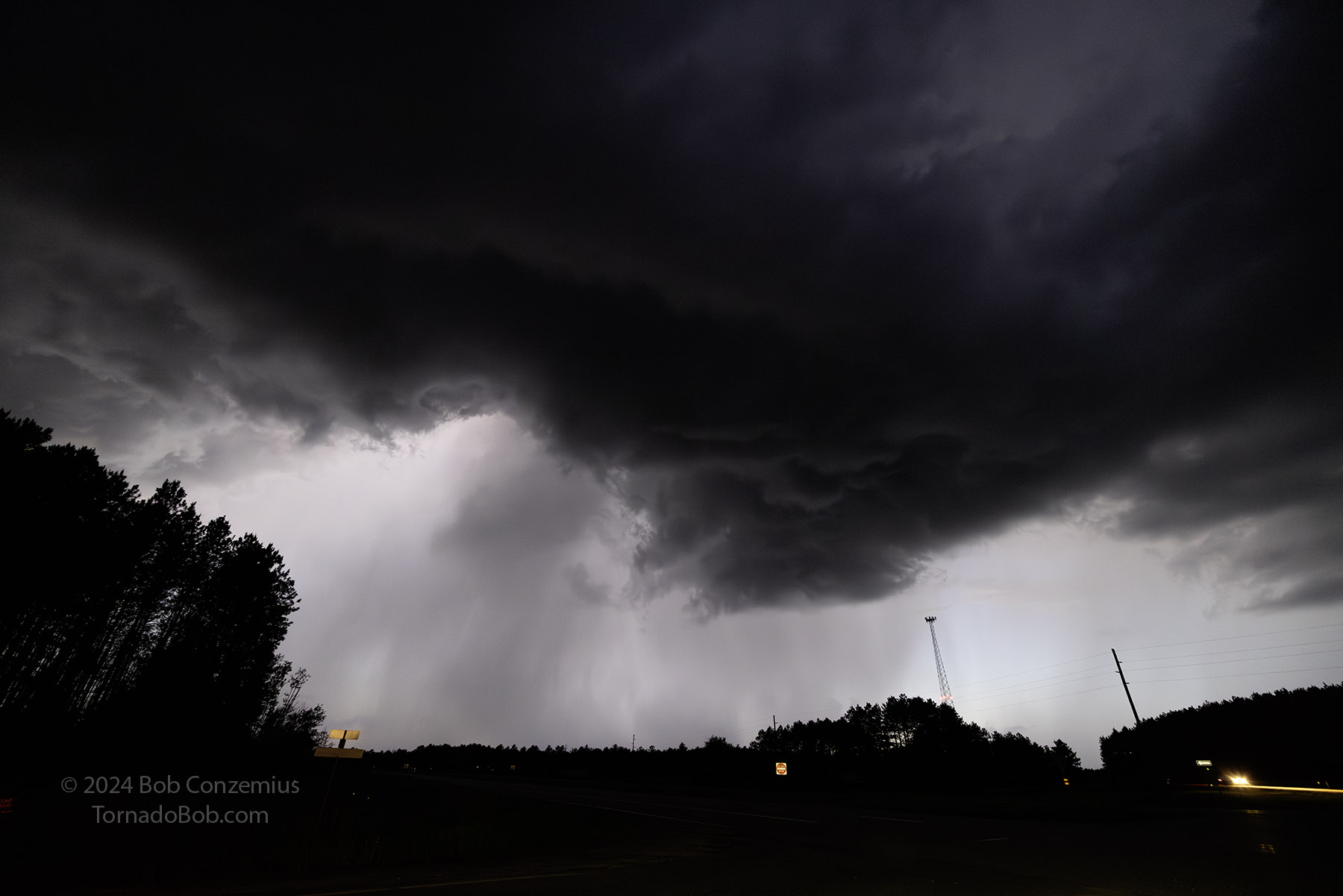 |
| Storm on southeast of Bemidji at 10:19 PM. |
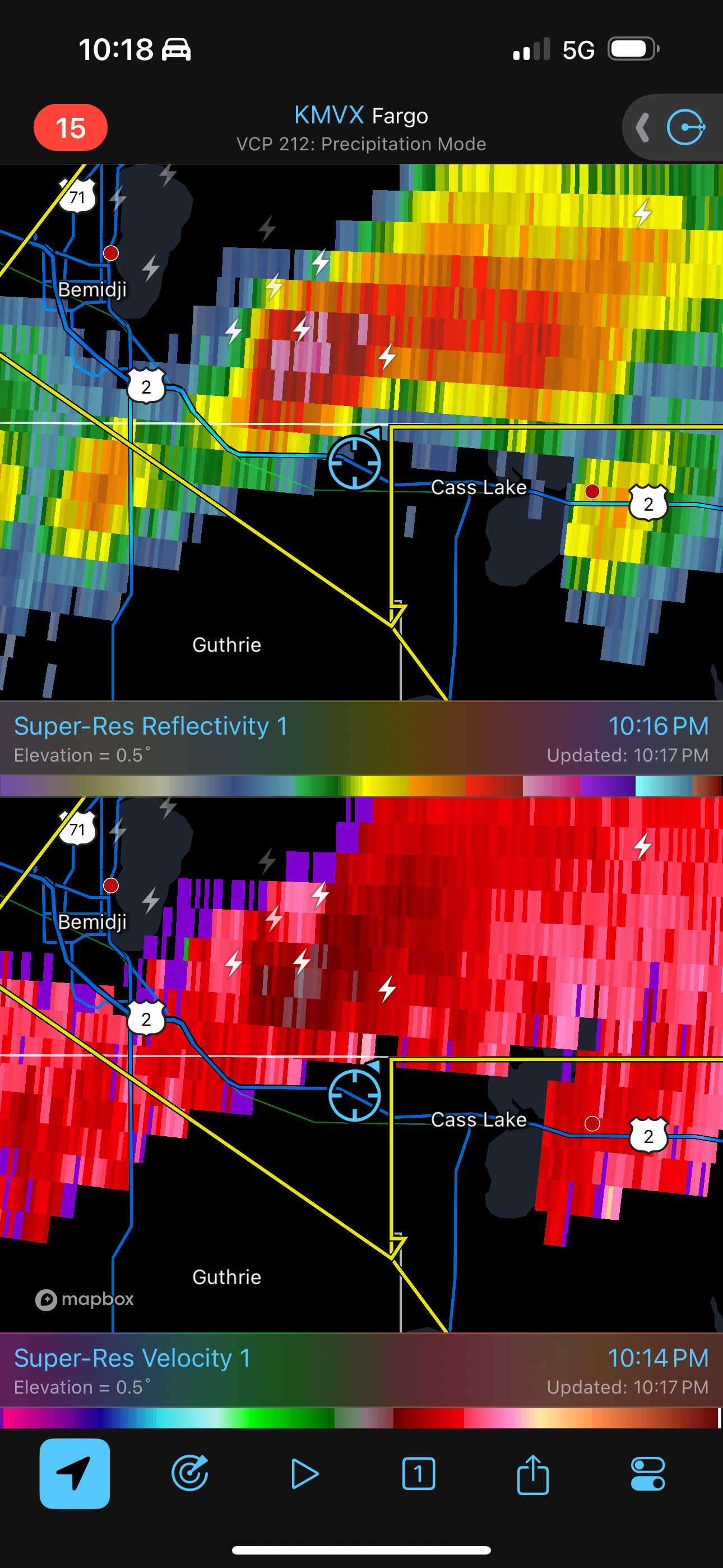 |
| Radar at my last viewing location. |
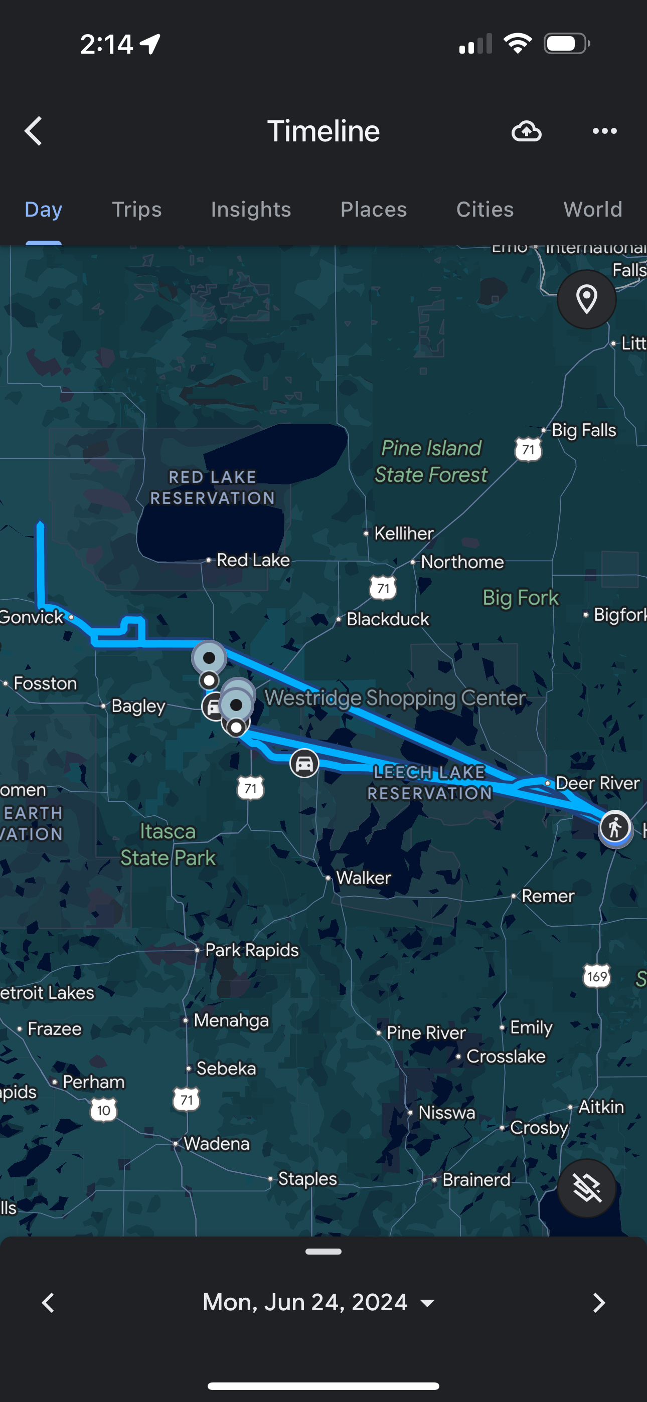 |
| My approximate route, as detailed as Google Maps now allows. |
Back to Storm Chases | Home


