April 21, 2022 Supercells
Southwest Kansas
This was the first official day of Tempest Tours 2022 season. There was a risk of severe storms in southwestern Kansas as well as adjacent parts of the Texas panhandle and northwest Oklahoma. Models showed a line of storms forming north-south along the dryline in the Texas Panhandle into Kansas and moving east. Due to work constraints, our primary tour director, Bill Reid, was still on his way from California, so I led the tour until we had a chance to catch up with Bill. We took the northwest passage out of Oklahoma City and headed for the target area. We reached Woodward and had lunch at the Polly Anna Cafe-- a nice, local place.
 |
| The SPC 1630 Day 1 Outlook. |
 |
| The SPC 1630 Day 1 Tornado Outlook. |
After lunch, we traveled at more of a casual pace. Since nothing had developed yet, and we were close to the target area, we waited in Woodward for Bill to meet us. From there, we continued northwest while the cumulus gradually grew taller to our west. As we drove north, just east of the dryline, the development was more pronounced farther north along the dryline. Eventually, we stopped to take a look at a couple young storms.
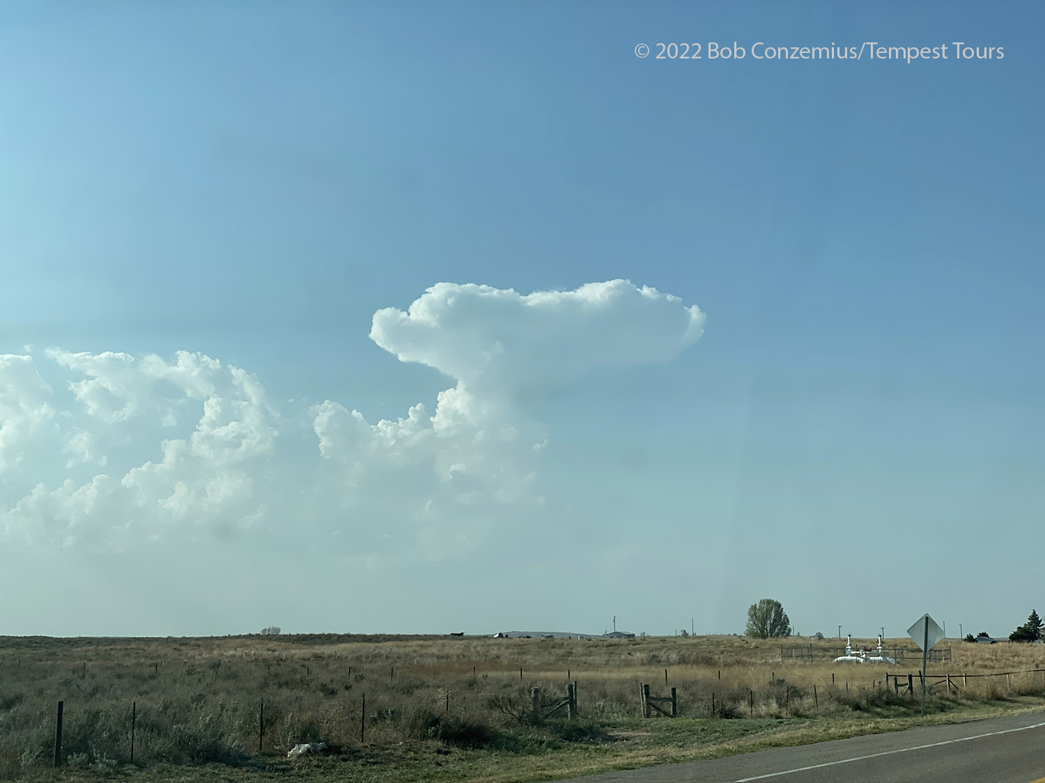 |
| Towering cumulus in the Texas panhandle. |
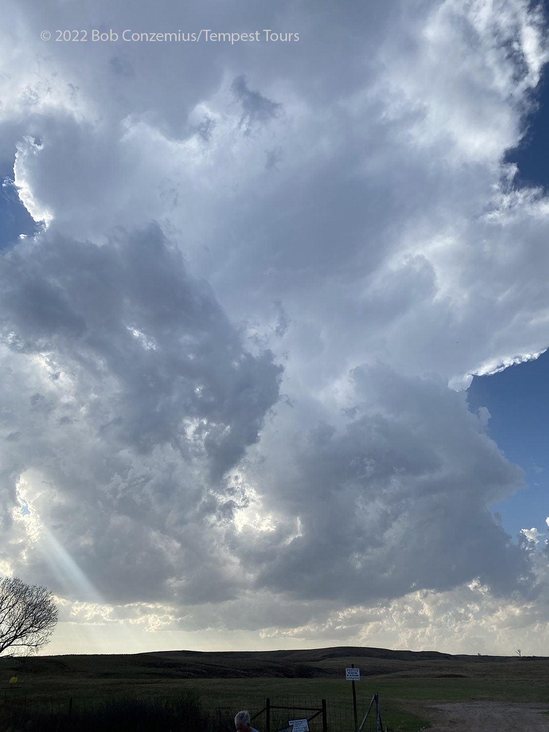 |
| Getting much closer to the first line of storms. |
One of them became large enough for us to consider it a fully developed storm, but it still wasn't particularly large, and storms had not congealed into a smaller number of large storms. We just had a lot of smaller updraft bases around us.
 |
| Our first storm intercept of the day. |
The dryline storms really looked pretty weak and were not showing any promising signs of becoming severe, so we opted to drive towards stronger storms farther north in Kansas. It was getting late in the day, and if we wanted to see something decent, we had better move to where the best storms were. When we got there, we found very much the same thing we had farther south. There were a lot of updrafts but no dominant storm, although it looked like the bases were a bit lower. We continued half-heartedly driving after updrafts that looked good from a distance and then looked less impressive as we got closer. There was one pretty strong storm well to the north with some separating between it and our closer storms, but that storm was an hour away, and sunset was only about 30 minutes away.
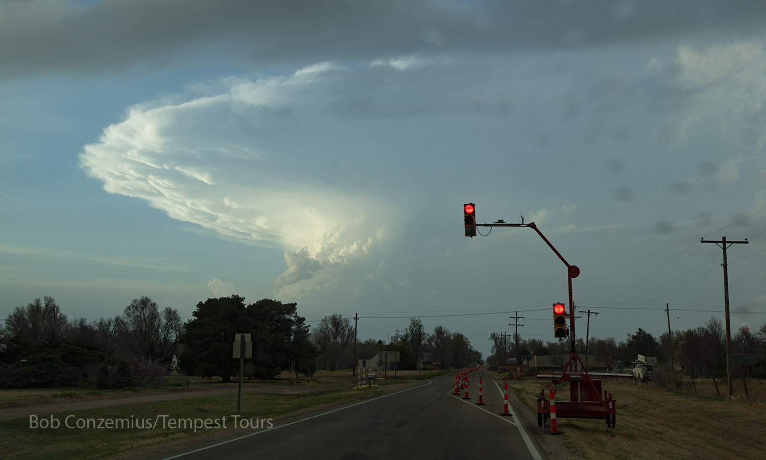 |
| Waiting at a stop light to intercept stronger storms to the north. |
 |
| Up in Kansas now, we have a hard time choosing among several small storms. |
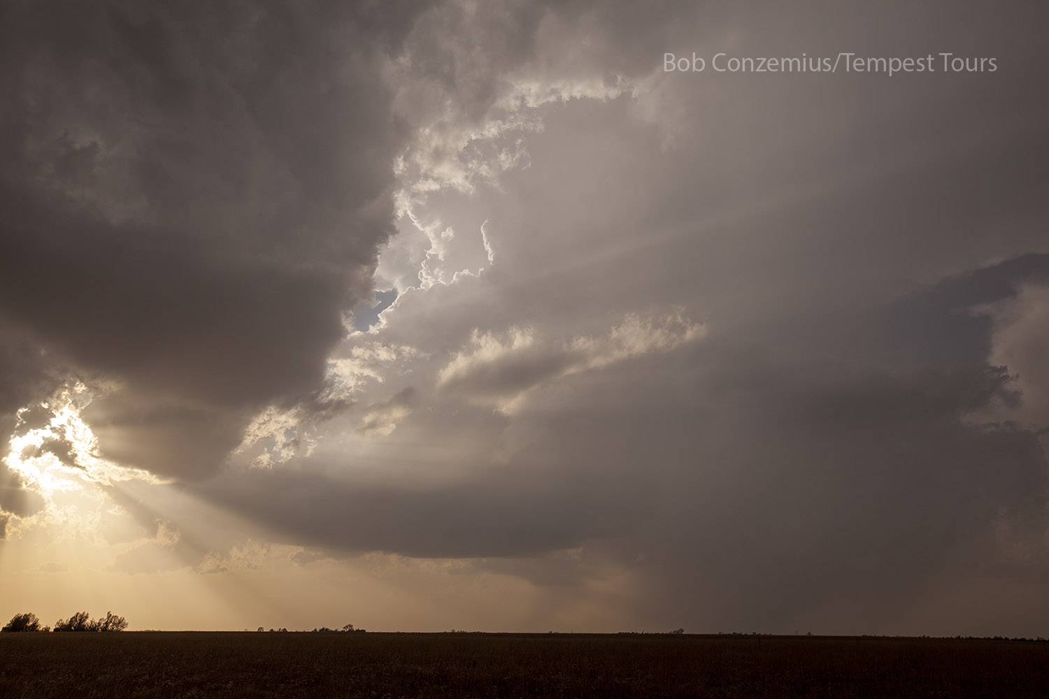
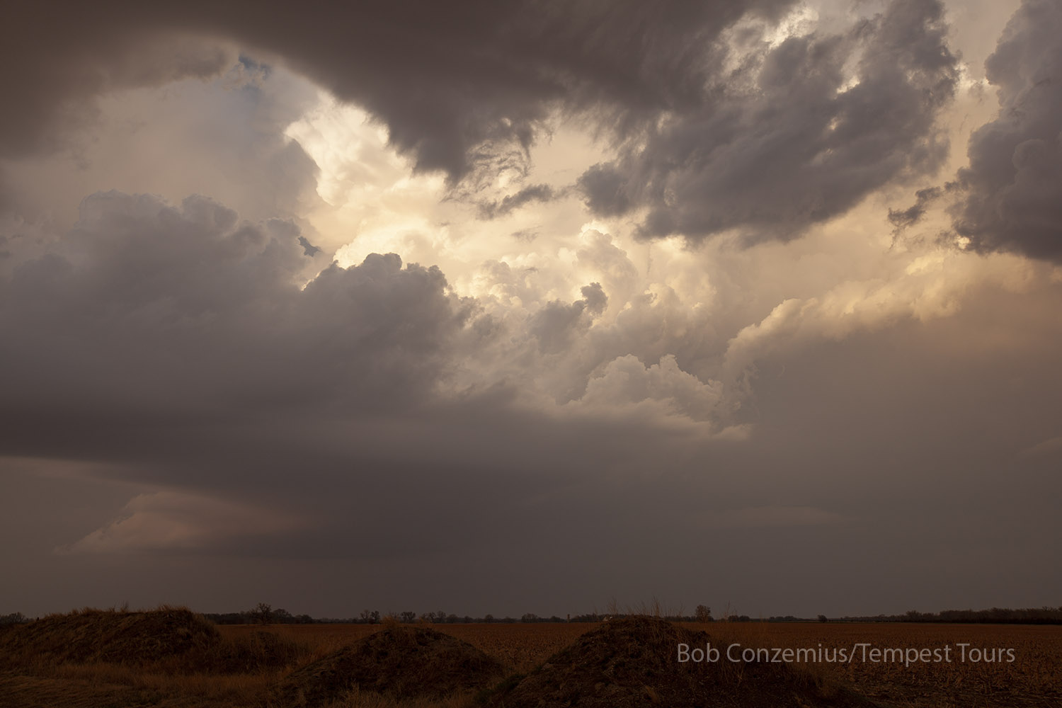
A couple radar scans after that point, we finally had a cell that looked promising to our south, on the southwest side of the cluster of storms that we thought might become stronger. The sun was now setting, but we had enough daylight to see for another half hour. We drove hastily to get on the new storm, and while we were on our way, the National Weather Service put out a tornado warning! There were a couple rain cores in the way, so we could not see it when the warning first came out. We drove through these cores without finding any large hail, and the updraft base of the tornado-warned storm revealed itself. It looked a bit small, and we had a somewhat bad angle on it (we were north-northeast of it), but it had relatively little rain, so we had a clear view of it. The base had a cinnamon swirl RFD through the middle of it, but it did not look like it was about to produce a tornado. We watched it as the sunset illuminated the updraft a bright red, and it eventually shrank enough that the tornado threat passed, and the storm lost its severe characteristics. We continued to shoot pictures for a bit, and then we headed to Dodge City to spend the night at the Quality Inn.
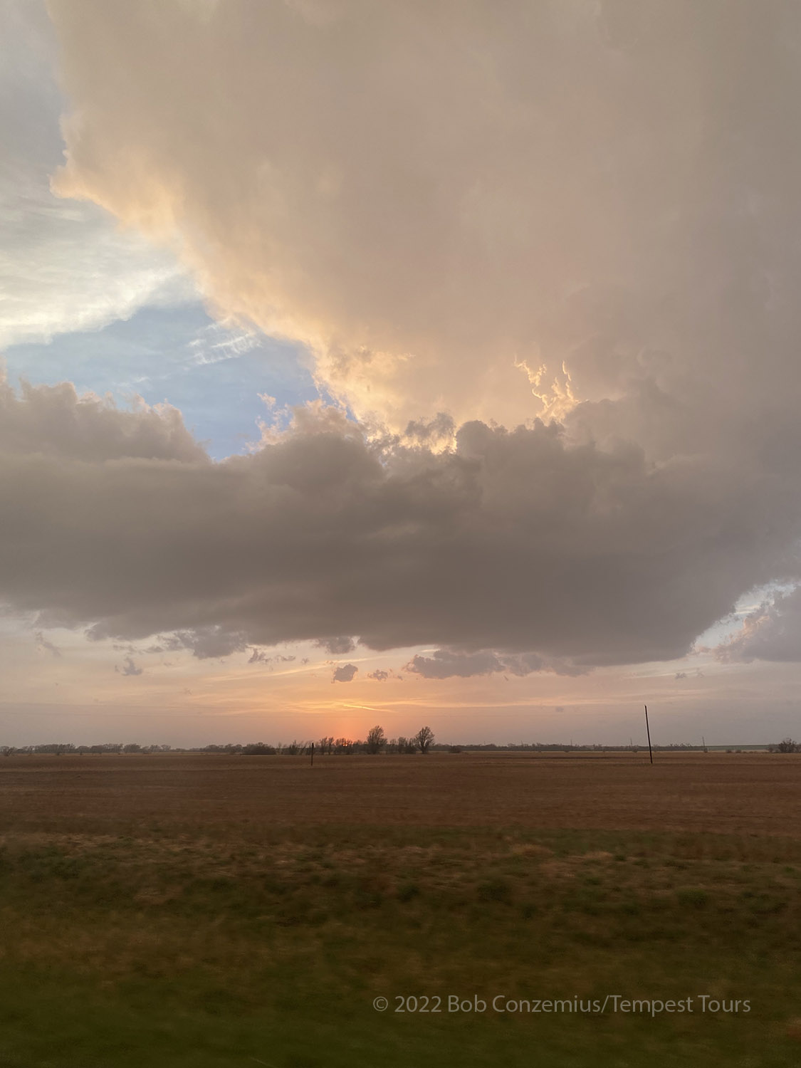 |
| A storm at sunset on our way to the tornado-warned storm. |
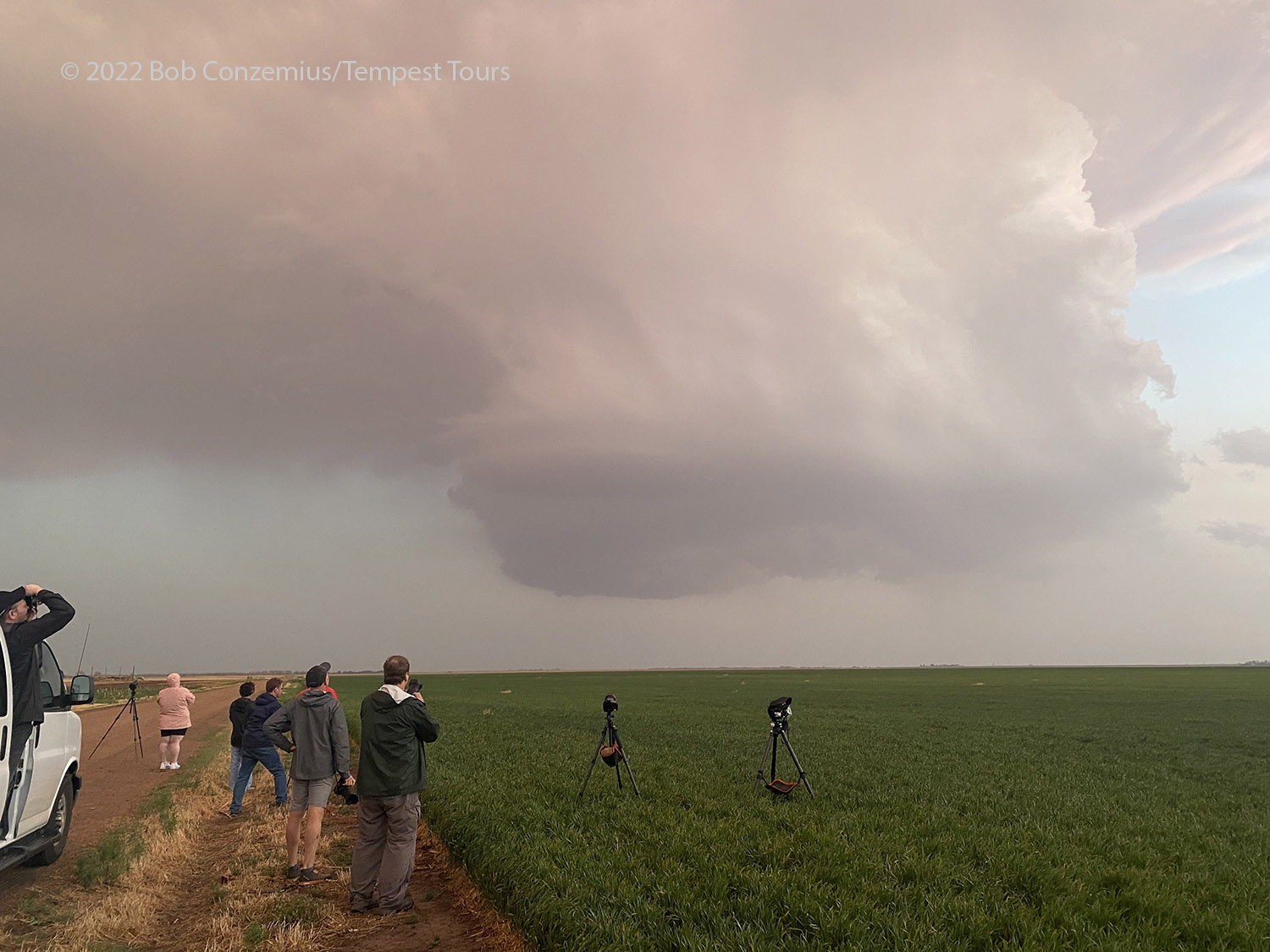 |
| We arrive at tornado-warned storm. |
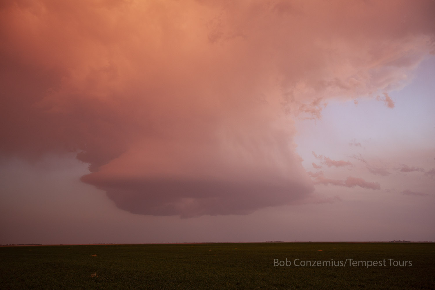 |
| Shrinking base of the tornado-warned storm after sunset. |
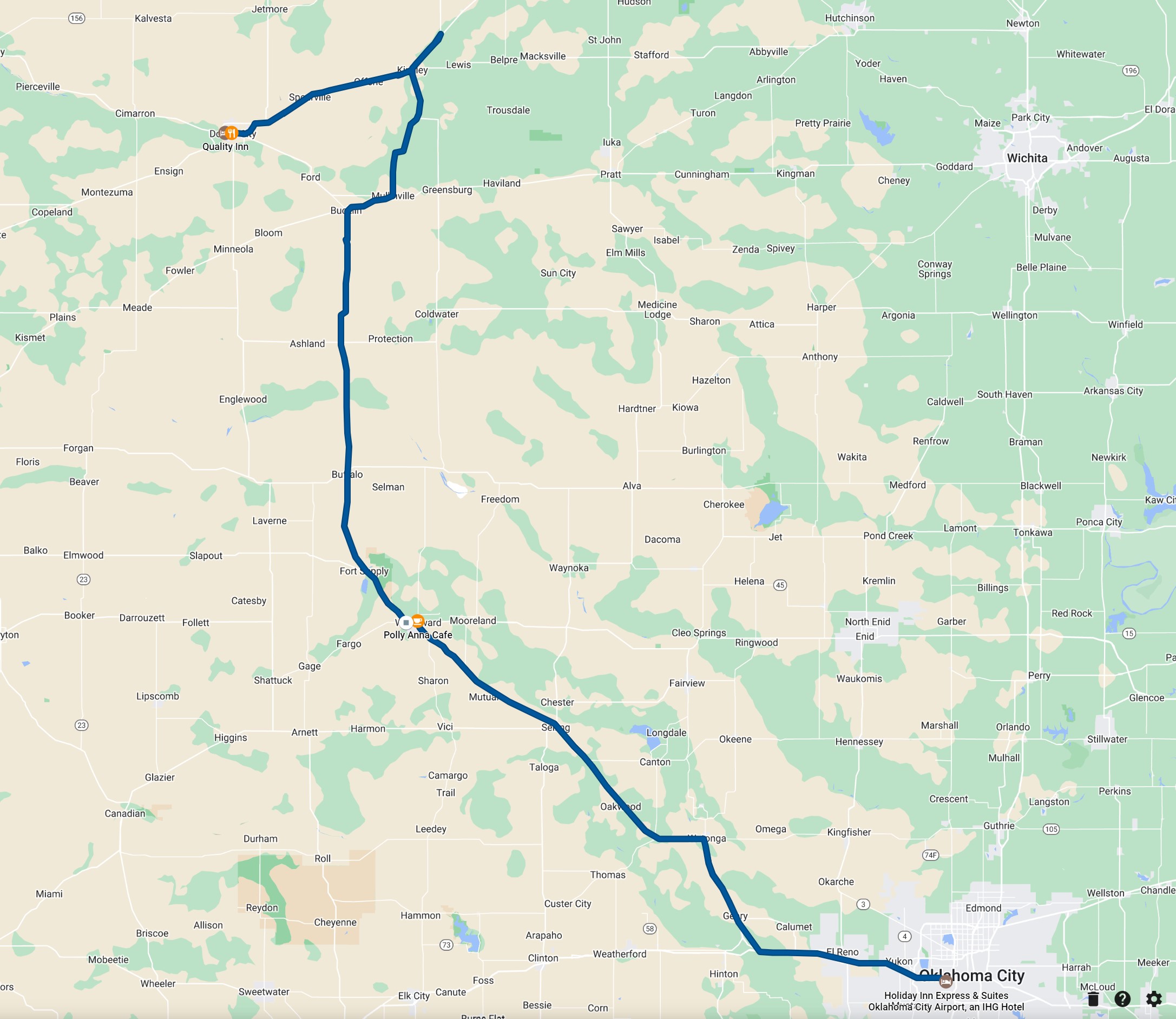 |
| Our route for the day. |
Back to Storm Chases | Home