July 18, 2020 Supercell
Dellwood, Minnesota
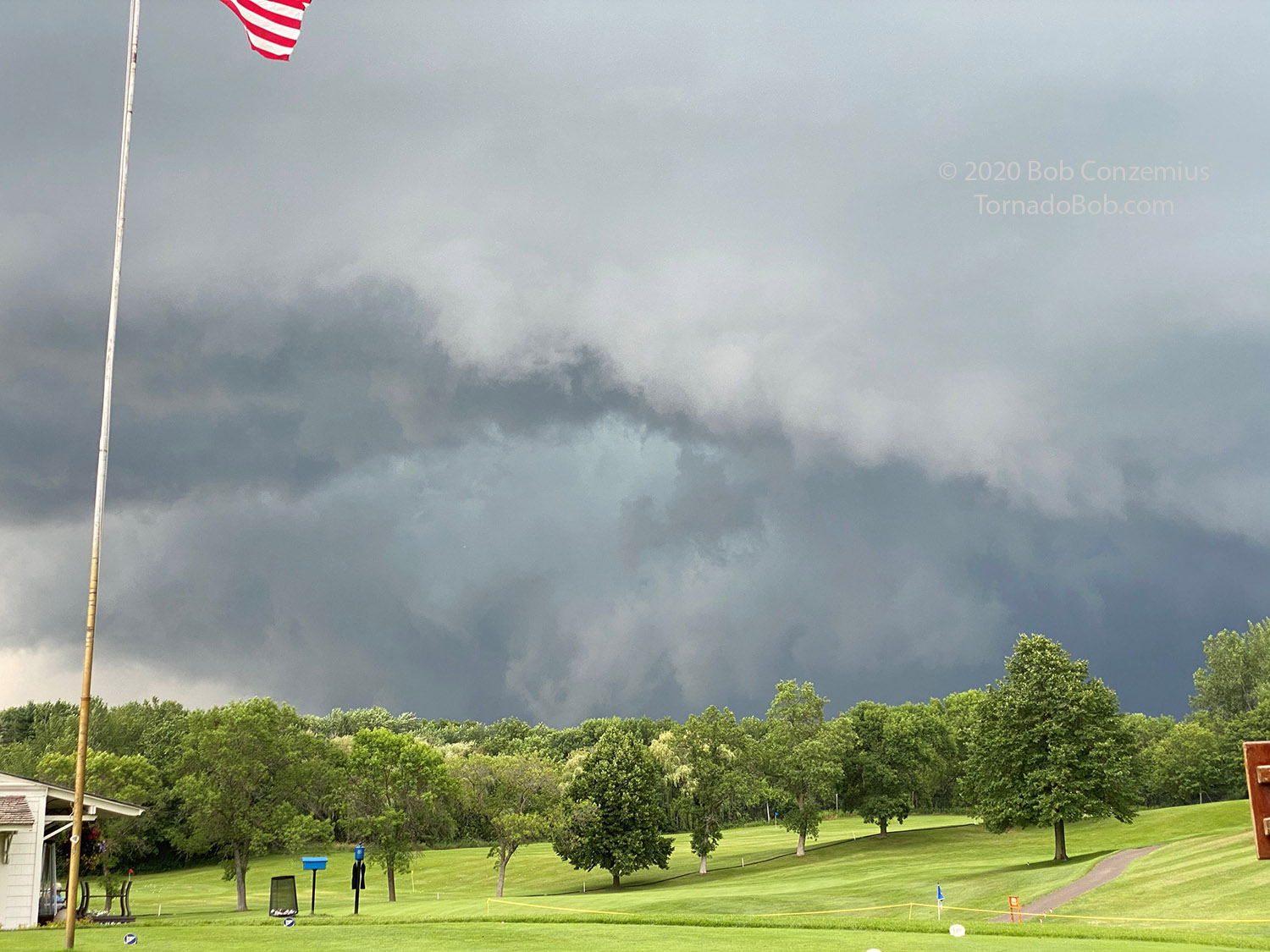
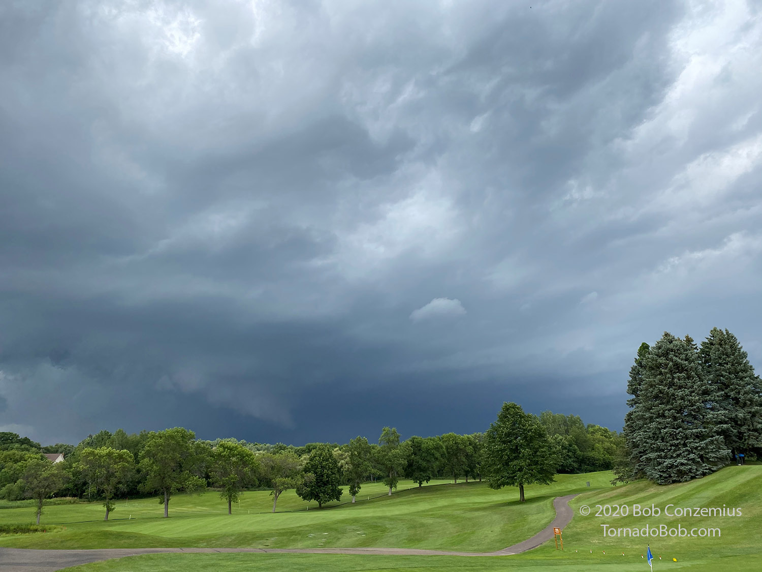
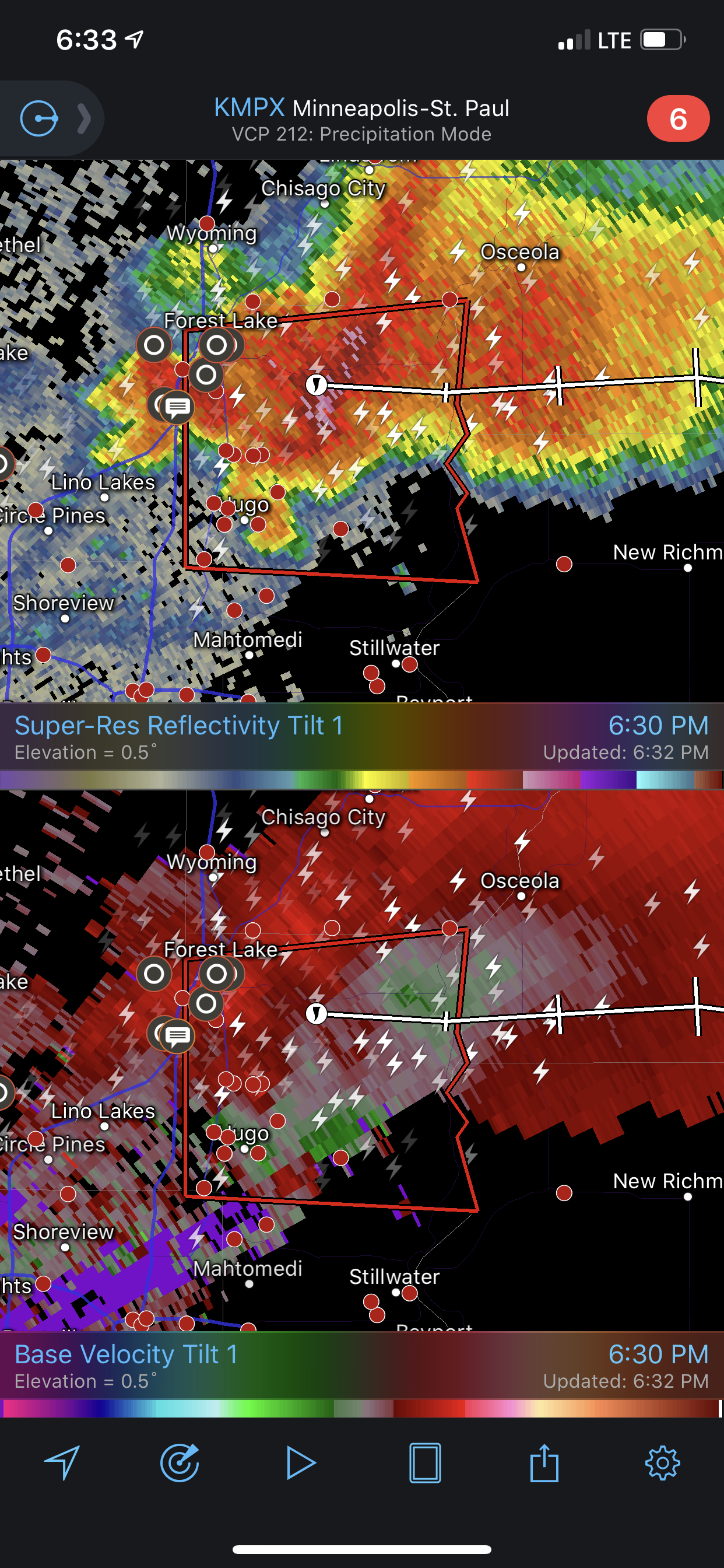
I had a family activity scheduled today, so I could not chase, but a tornado-warned storm came toward me. I was at the golf club having dinner as the storm was moving into the northwestern suburbs of the Twin Cities. I kept an eye on it as it was beginning to develop an interesting shape. Sure enough, a tornado warning was issued. The velocity couplet did not look very intense, but the storm developed a nice hook. I decided to go out to the end of the dock and see if any part of the storm was in view.
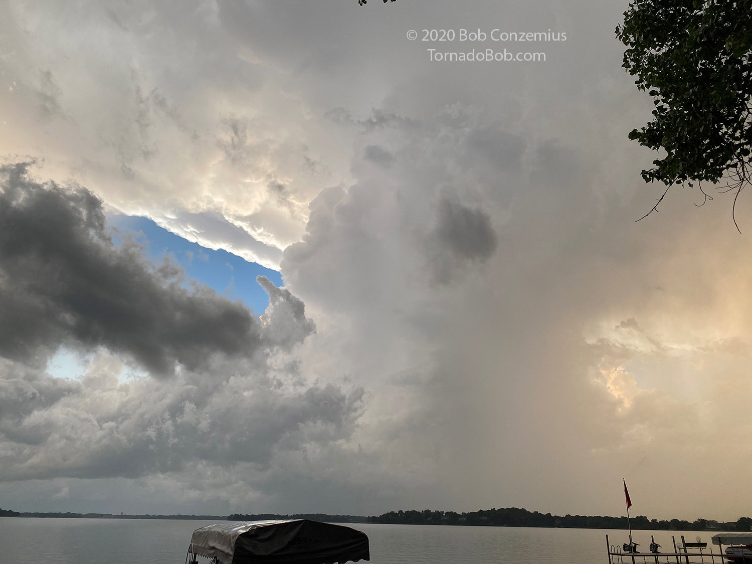
To my surprise, I could see the action area and updraft base under the storm. It had a rather long wall cloud and a tail cloud pointing to the main rain area of the storm. It looked like there may be a little too much outflow underneath as it appeared to be transitioning into a shelf cloud, but the radar didn't show any outflow boundary coming out from it, so I kept watching.
 |
| This was my first look at the elongated wall cloud. |
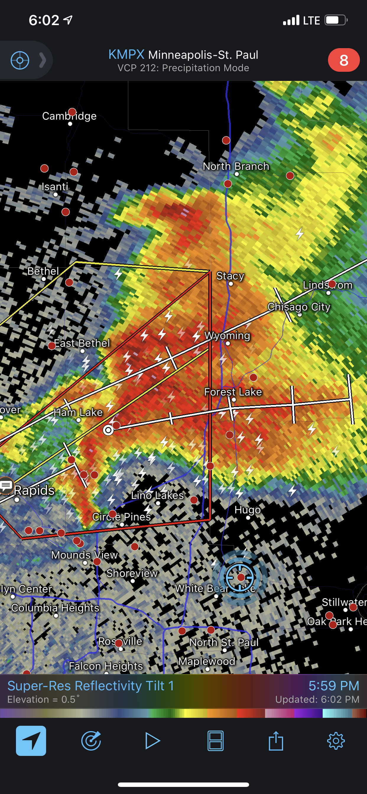 |
| Radar view of the storm with a decent hook echo. |
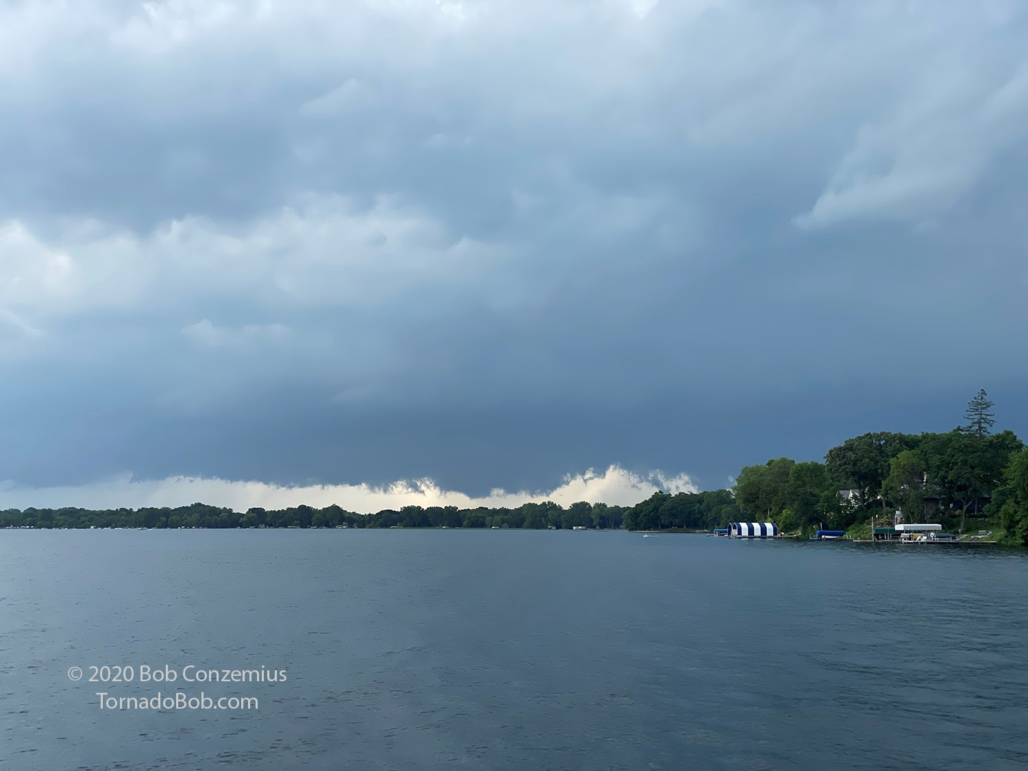 |
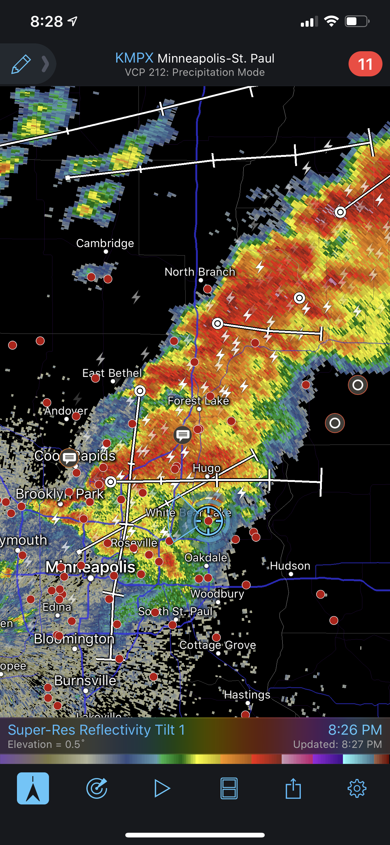
| If there were rotation, this would have been a more interesting shot. |
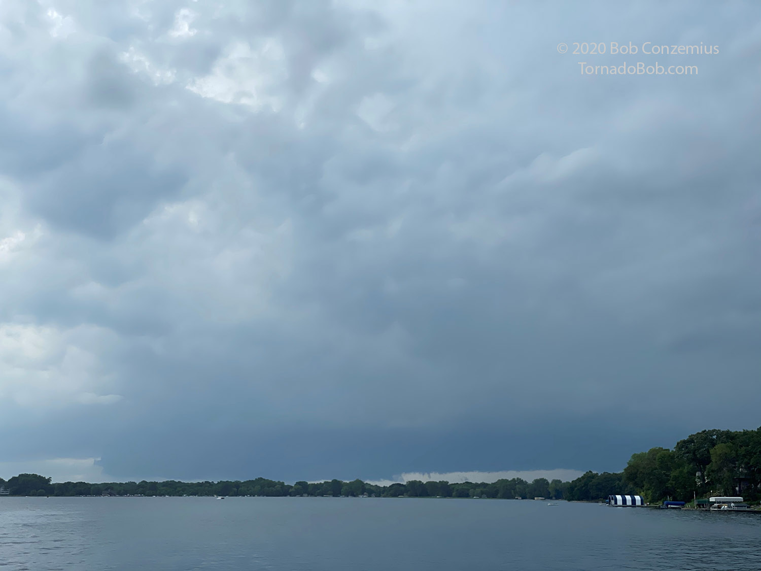
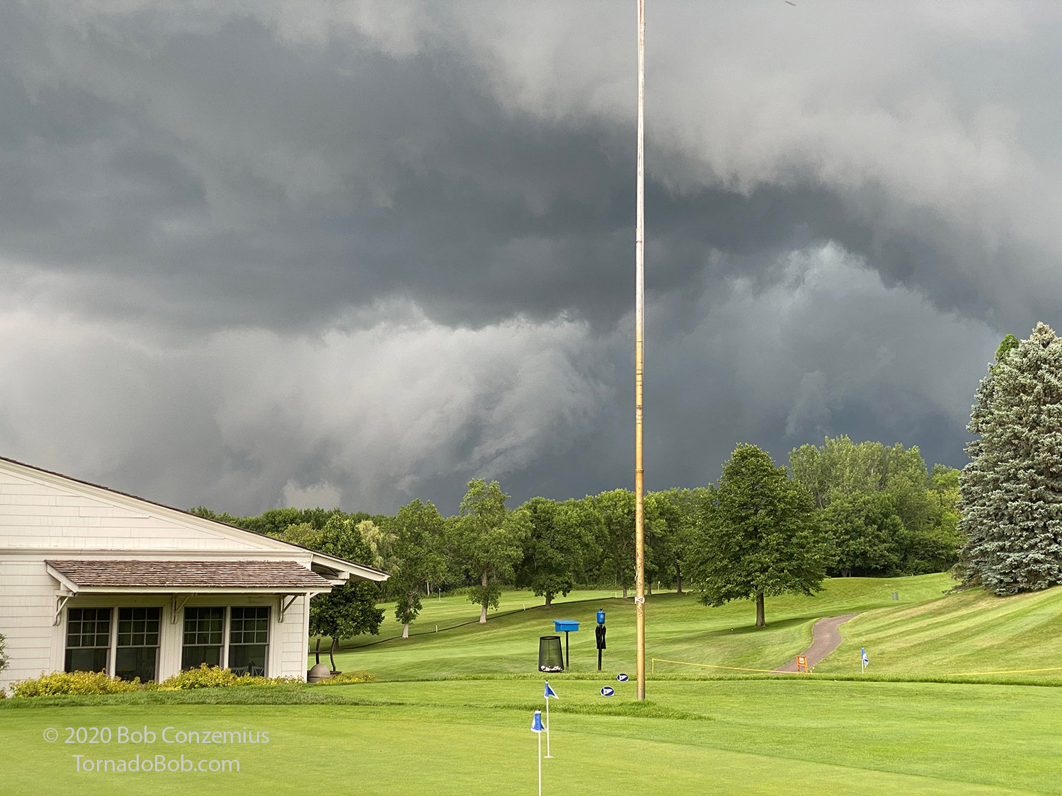
The updraft base was getting closer but also moving behind the trees, so I walked over to the golf course to get a better view. I positioned myself on the putting green to get as far away from the trees as possible. From there, I could see an RFD cut into the updraft base, and there was a fair bit of rotation associated with the RFD cut, but most of the vertical motion was downward, and the rotation was not being stretched much. It made for some interesting video and stills. The mesocyclone moved north of me by several miles and then weakened. The storm never produced a tornado.
 |
| A little bit of a collar cloud forms at the front of the mesocyclone. |
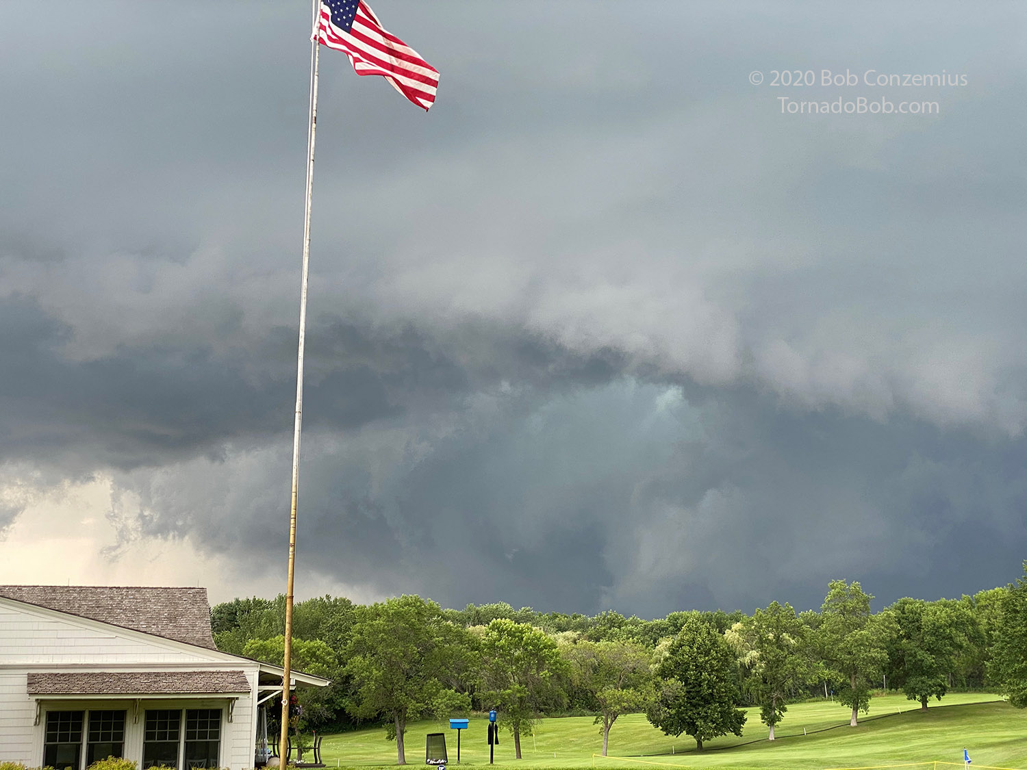 |
| An RFD starts to cut a bit harder into the storm. |
 |
| The brighter area here is rotating fairly quickly. |
 |
| The wall cloud begins to move away. |
 |
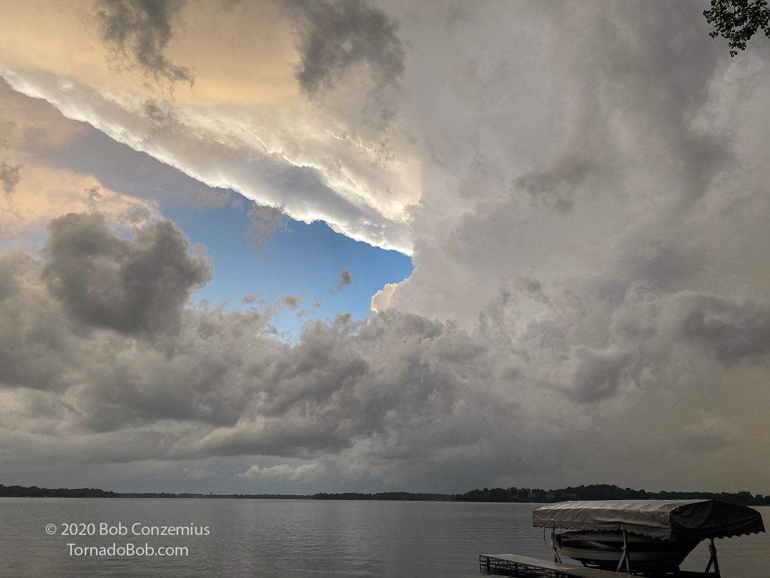
| The storm looked like this when I took the shot above. |
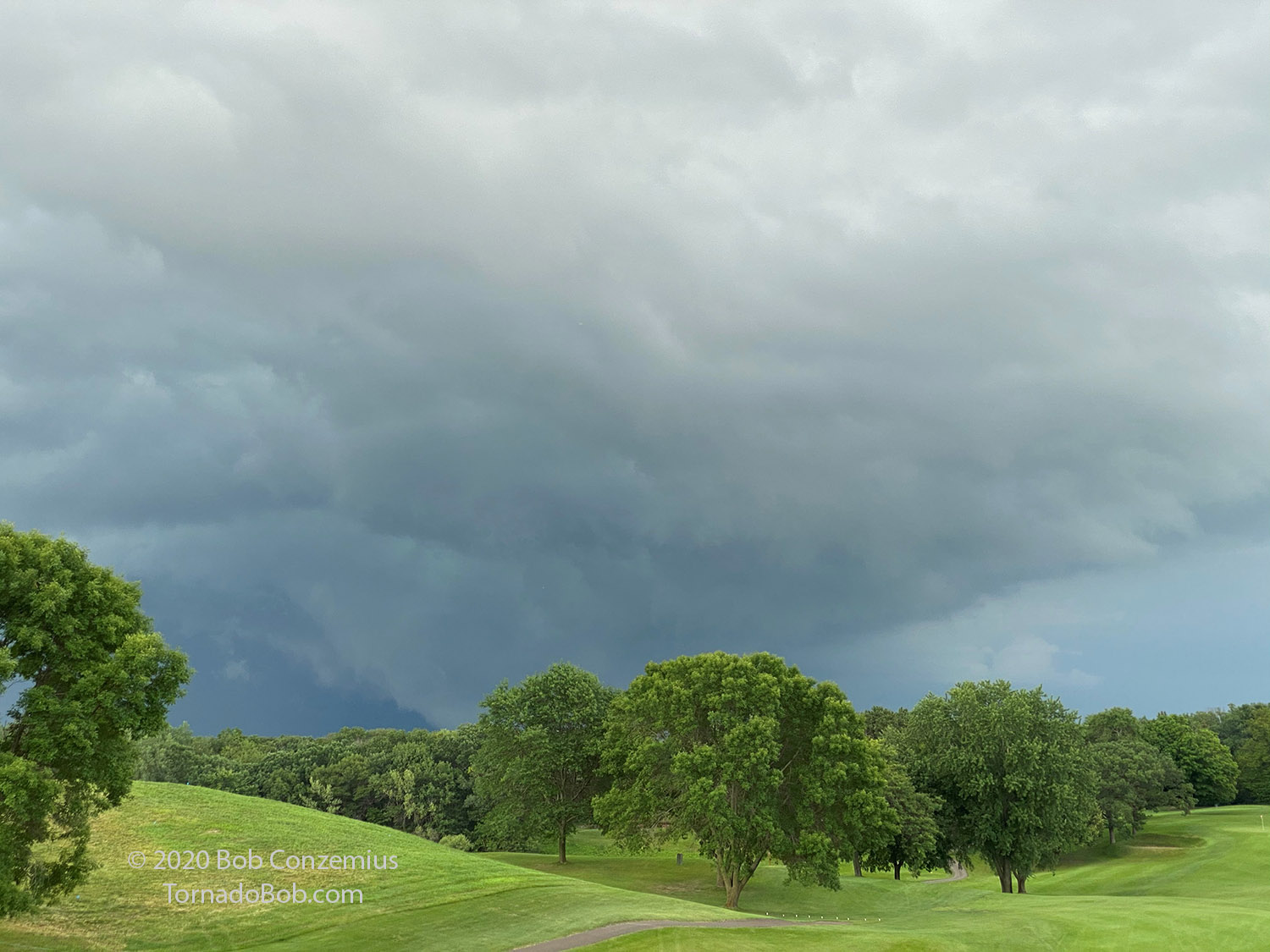
I went back inside to enjoy the rest of my dinner. When we got back home, another line of storms approached. The southernmost storm (tail end Charlie) looked like it would move right overhead, so I went outside to take a look. The updraft appeared out of the rain and was a bit more discrete than I thought it would have been, given the radar presentation. The cell looked like it would be pretty interesting to watch, but it weakened as it approached-- not before providing some nice sunset photography.
 |
| Radar image of the second line of storms. |
 |
| The cell that emerged looked like this. |
 |
| As it approached, a little bit of a wall cloud was evident underneath. |
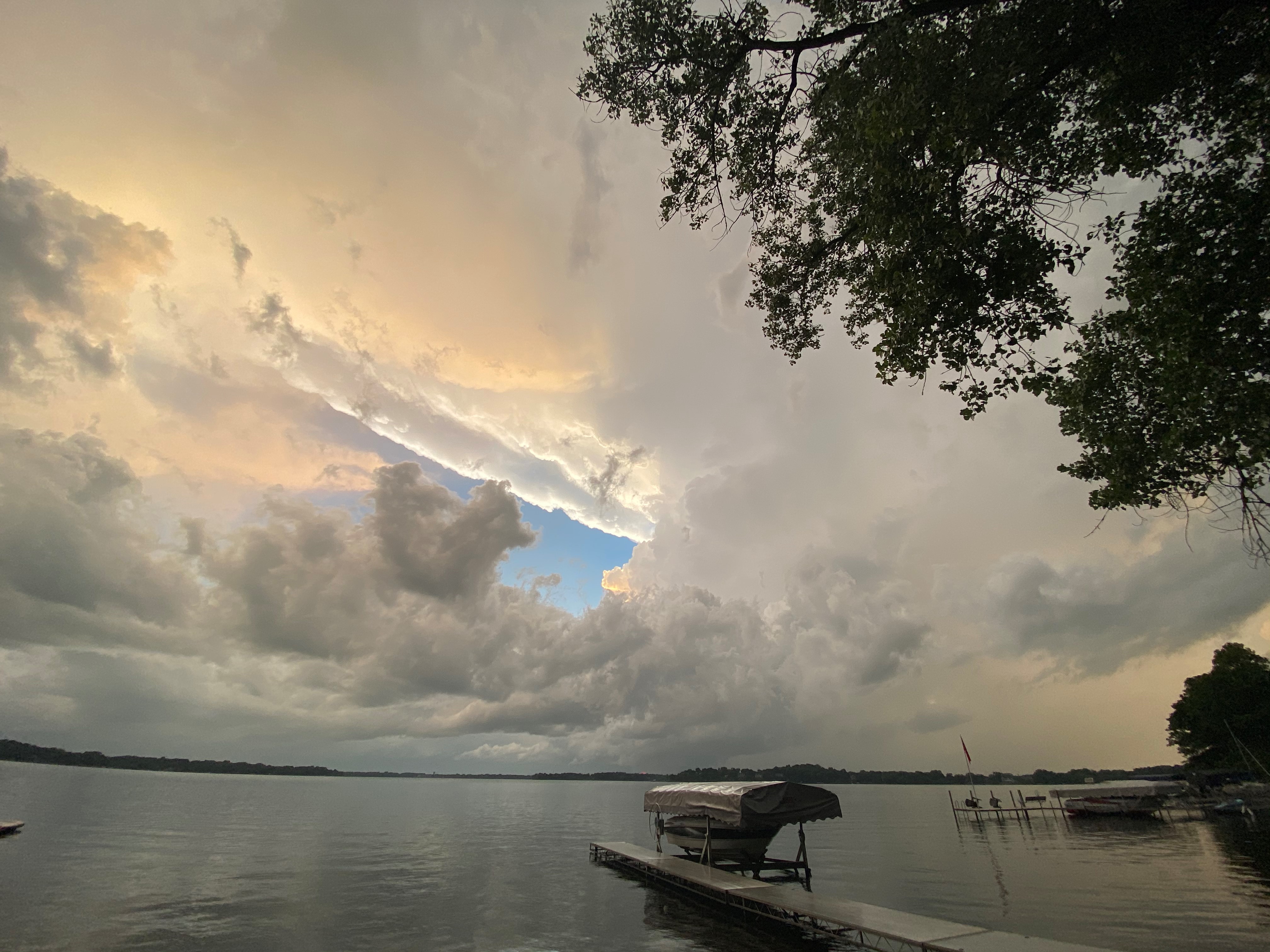 |
| Here is a wider zoom of the storm. |
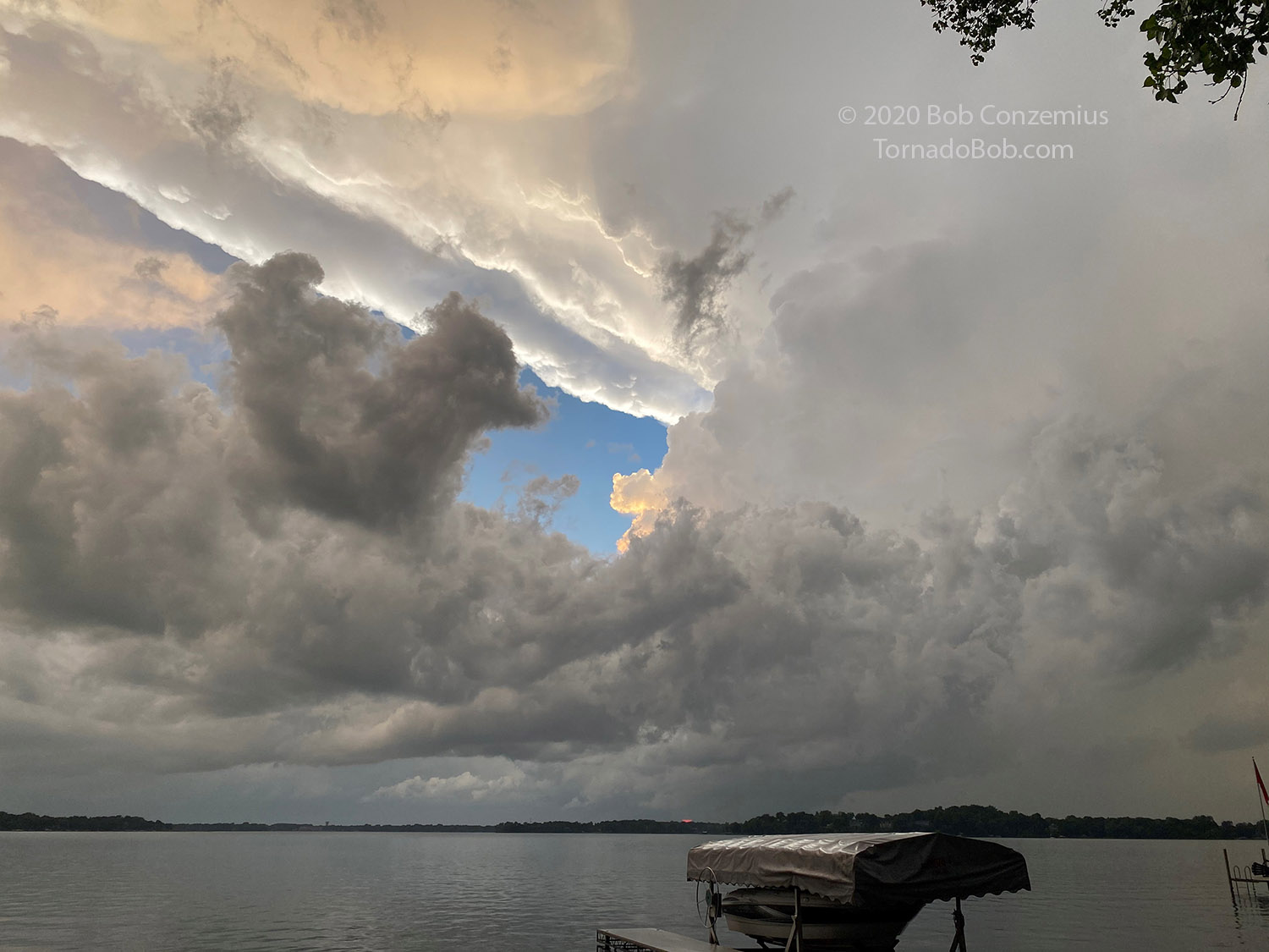 |
| Here is a not-so-wide view. You can see a hint of a wall cloud. |
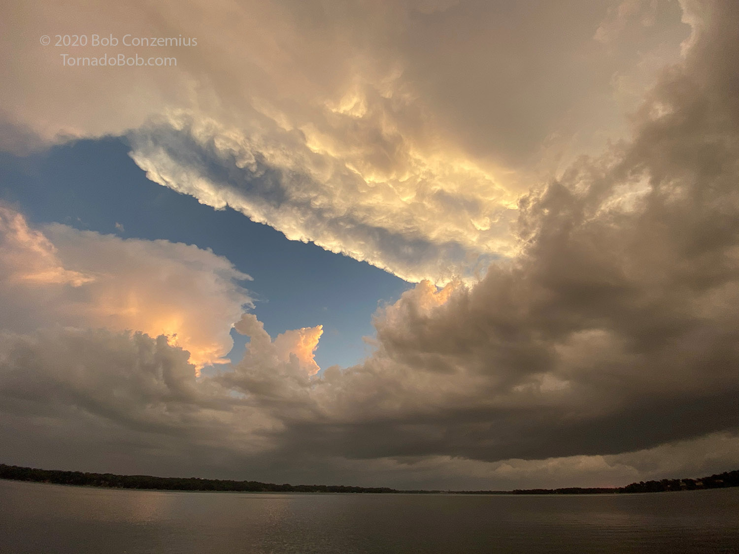 |
| The updraft base became obscured, but the sunset colors were nice. |
Back to Storm Chases | Home