May 25, 2023 Supercell
Roy, New Mexico
We viewed a high plains supercell for a couple hours near Roy, New Mexico.
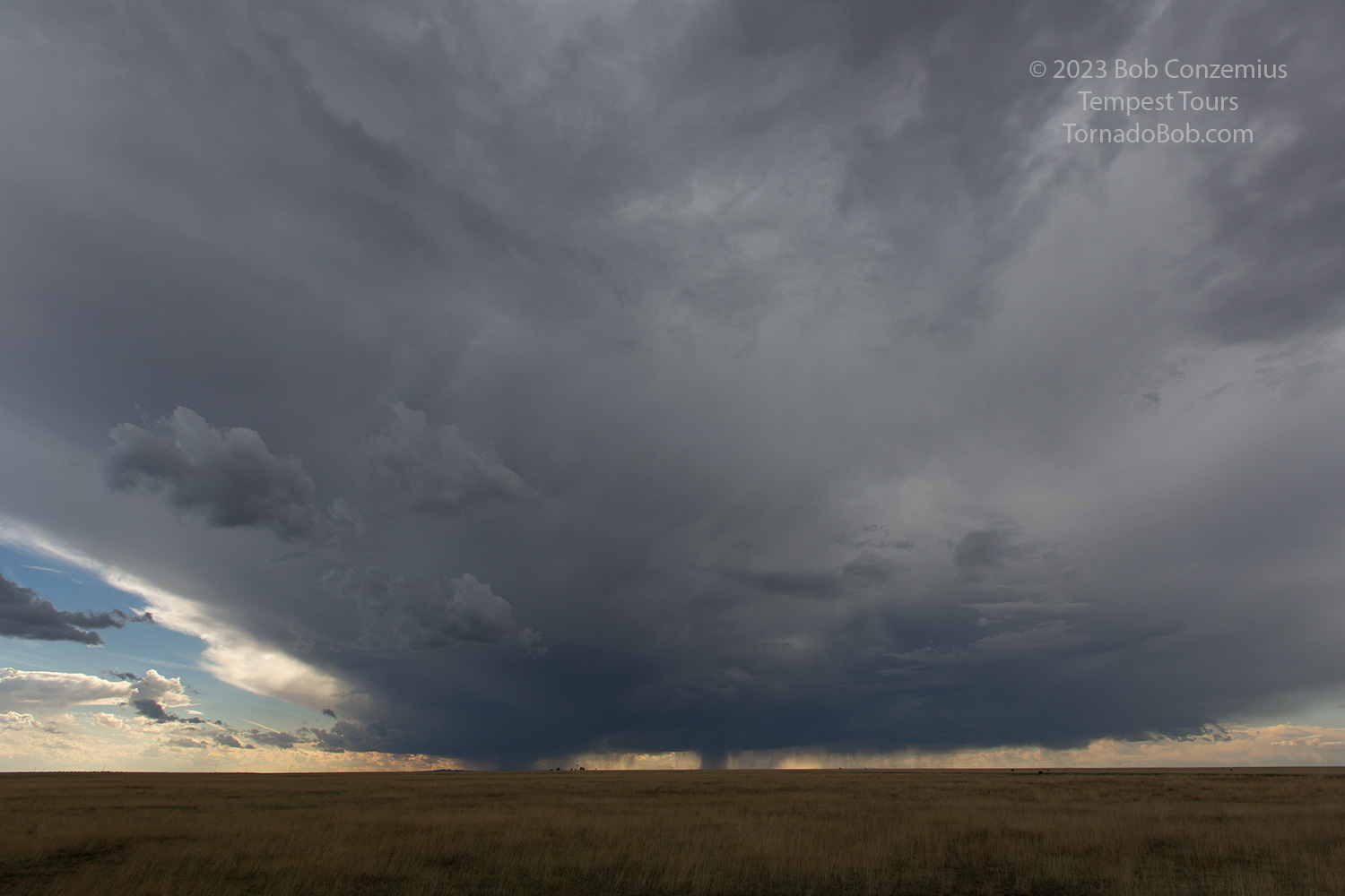 |
| The storm is sitting over Wagon Mound, New Mexico. We are just north of Roy. |
 |
| We drove west of the Canadian River (west of Roy) to watch it slowly approach. |
 |
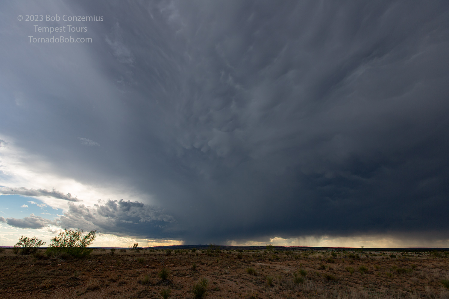
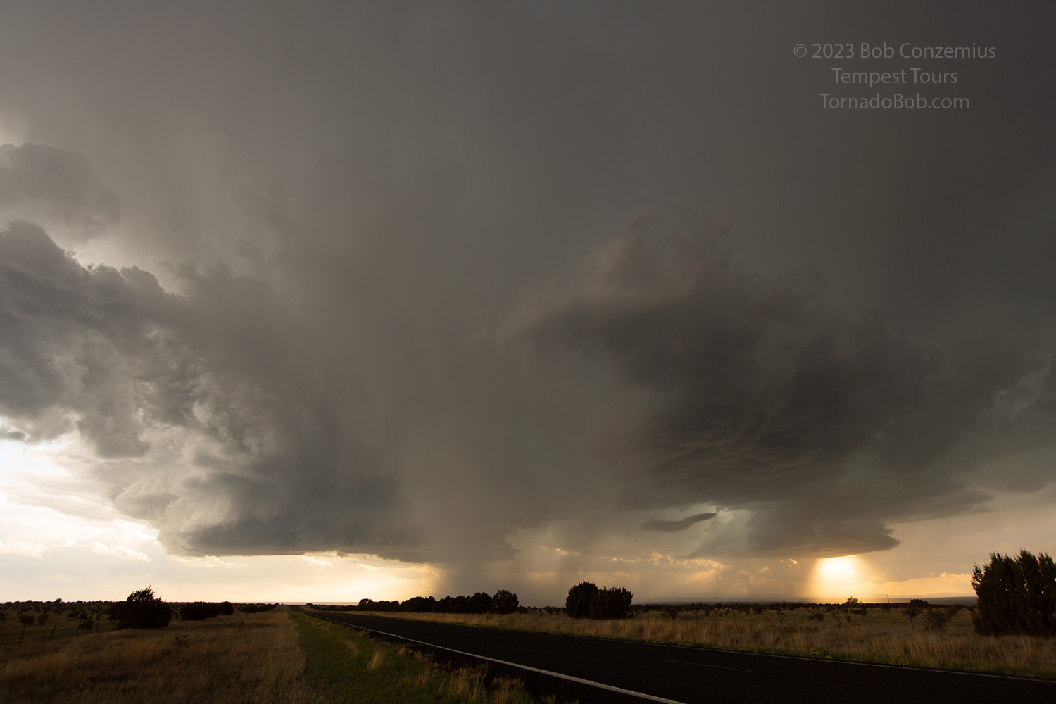
| The base gets more extensive as it gets closer to us. |
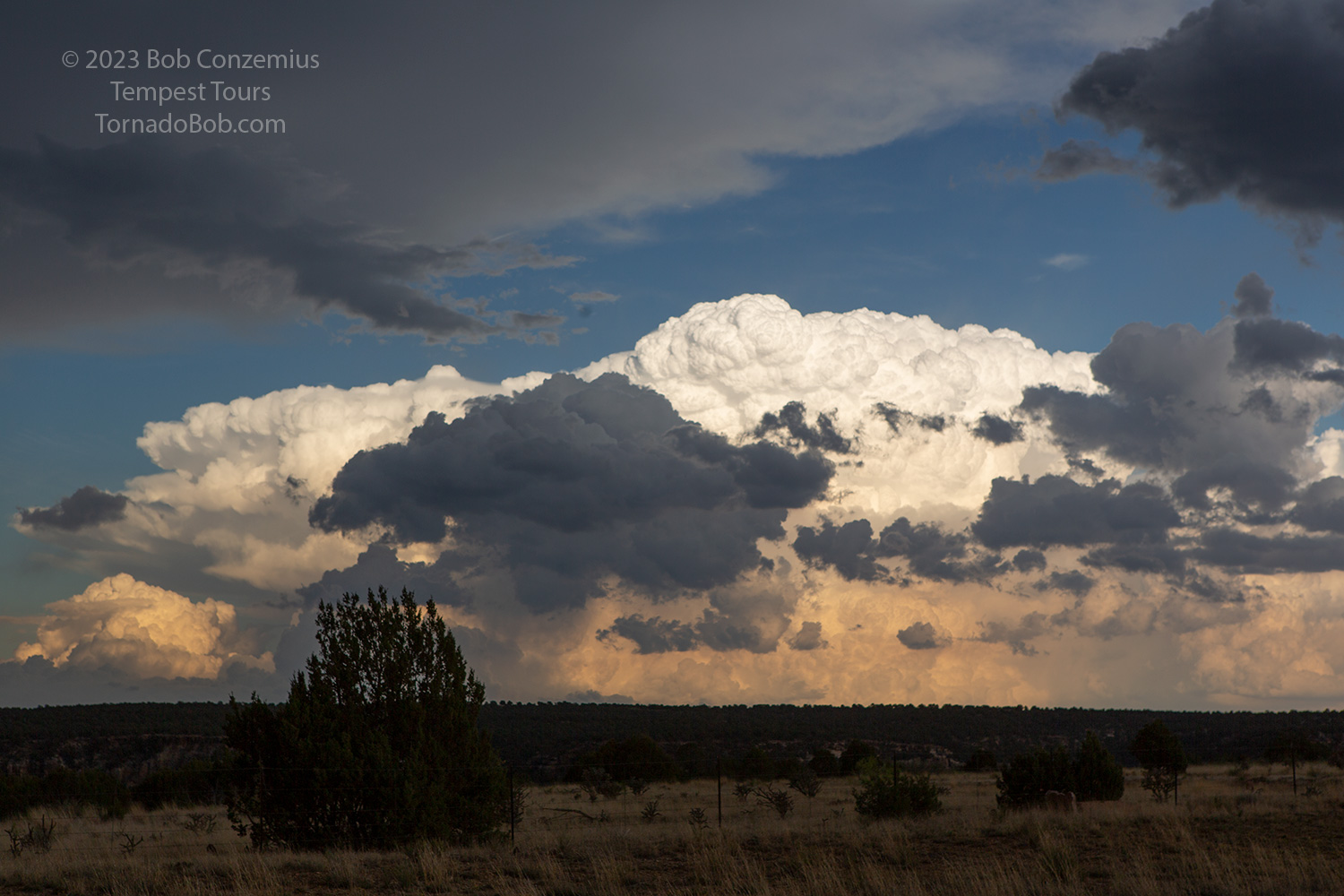 |
| Meanwhile, storms develop farther east near Tucumcari. One of these would go on to become an amazingly structure supercell, particularly after dark. |
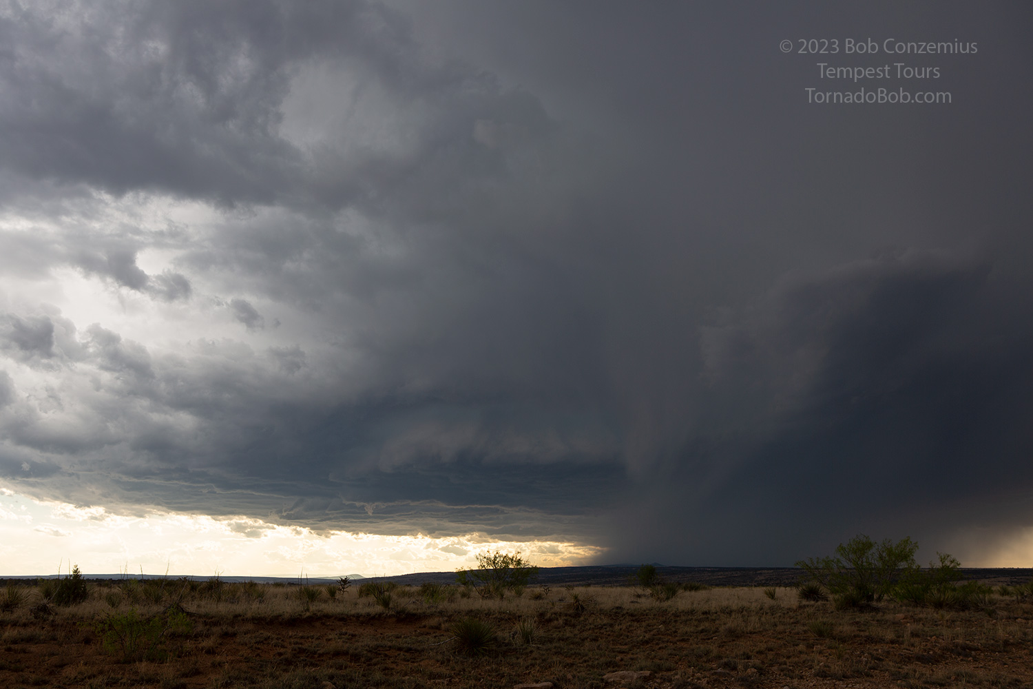 |
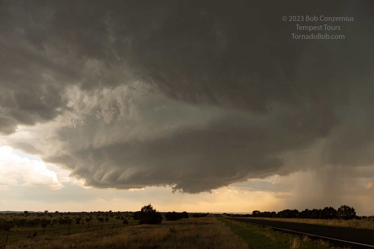
| Despite the eastern storms, I couldn't leave our Roy storm. Its base began to lower, and its rotation increased. |
 |
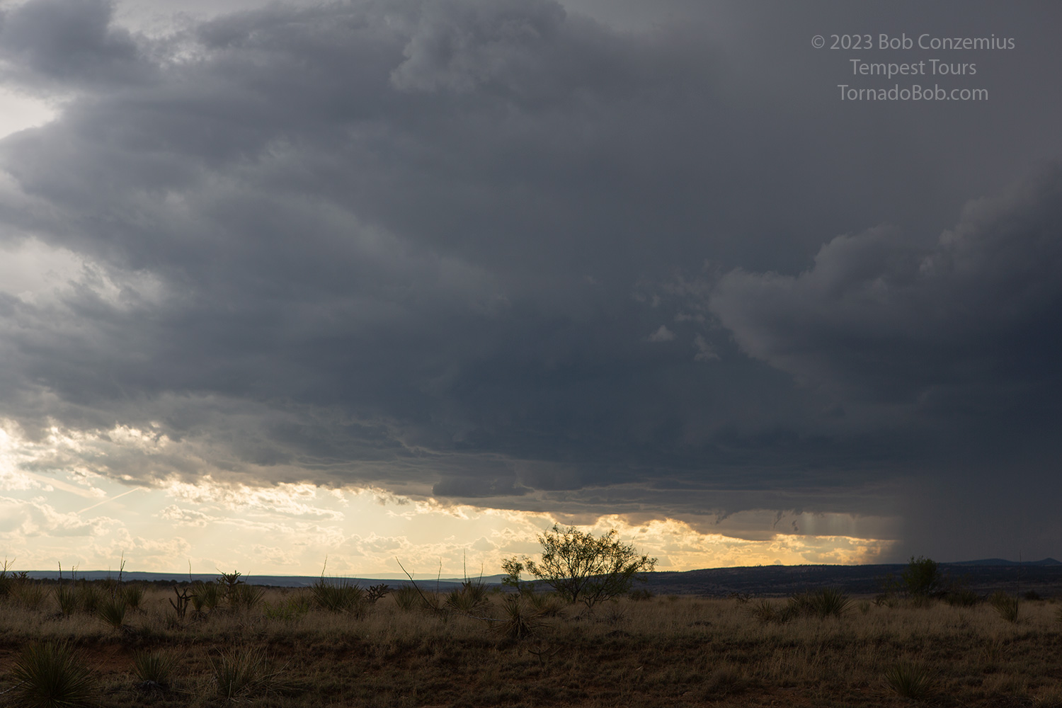
| The updraft base is lowering and getting more interesting! |
 |
| The storm's extensive anvil to the east has mammatus. |
 |
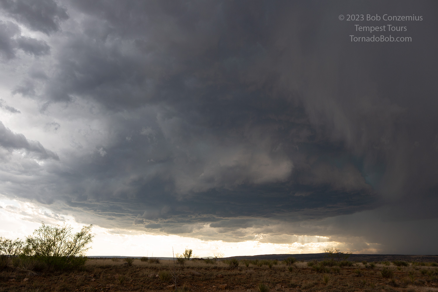
| Another look at our improving updraft base. |
 |
| We moved back east of the Canadian River just southwest of Roy. |
 |
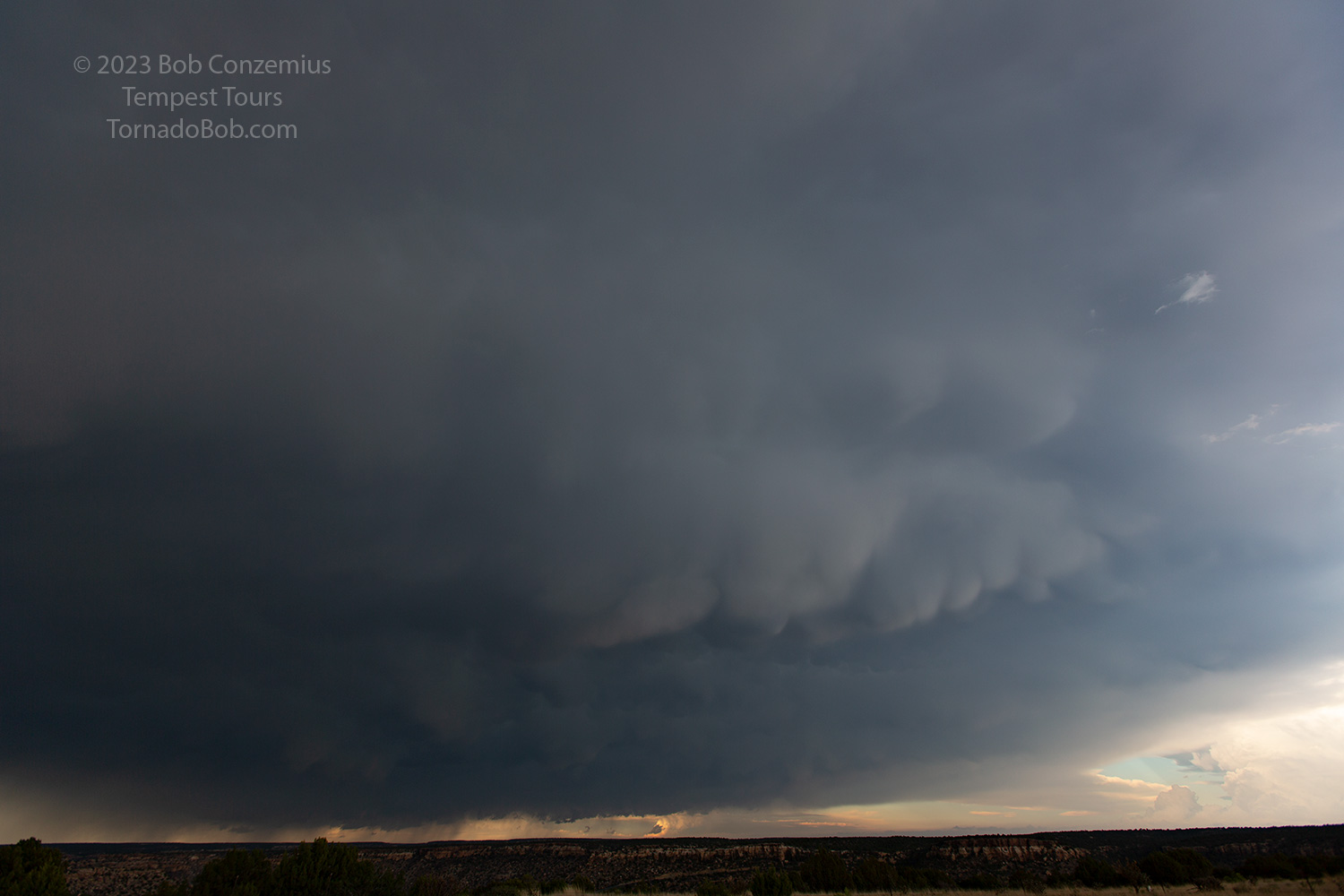
| A cinnamon swirl rear flank downdraft cuts into the base, and a wall cloud lowers and starts rotating a bit faster. |
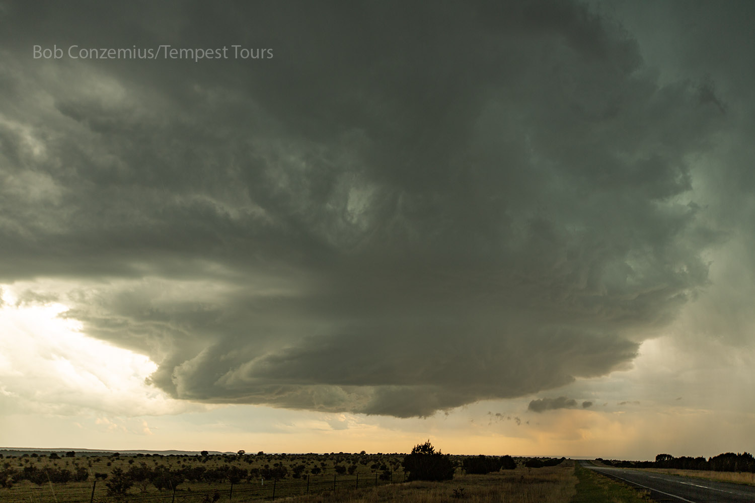 |
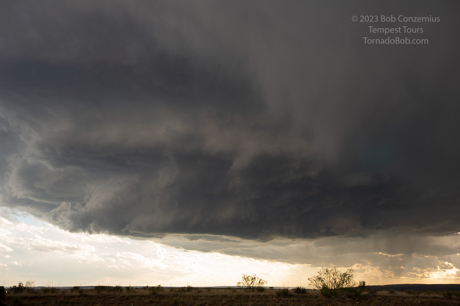
| This is the best our storm looked. Other storms began to interfere with it at this point. |
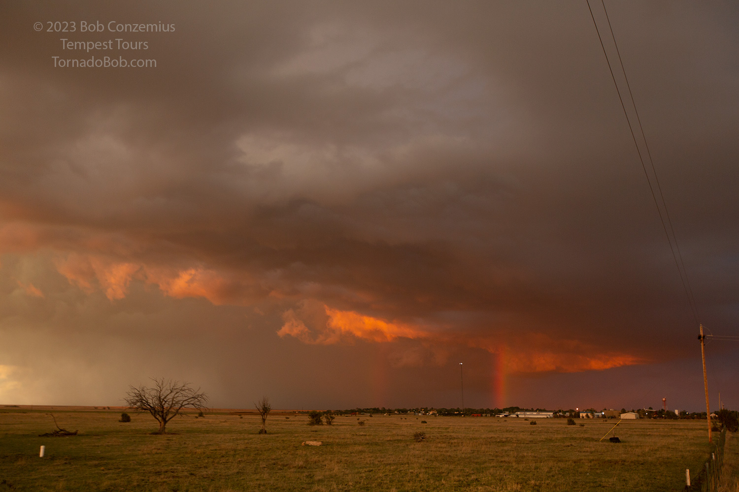 |
| Nice sunset as we were coming back into Roy. The drive back to Tucumcari was rainy and stormy. |
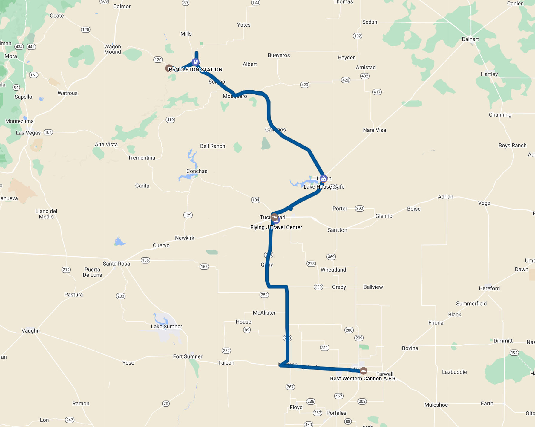 |
| Our route for the day. 303 miles. |
I don't really like to dwell on what I missed because it's not physically possible to get to every storm and see everything each storm produces, so my reference to the Tucumcari storm does not mean that I'm dissatisfied with what I saw on this chase. That is not the case at all. However, those who happened to be south of Tucumcari after sunset, looking back north at the southernmost storm in our cluster, would have been treated to a top end view of nighttime storm structure. Tweets of some of the best shots I found can be seen here and here.
Back to Storm Chases | Home