June 19, 2012 Central Minnesota Thunderstorms
Clearing
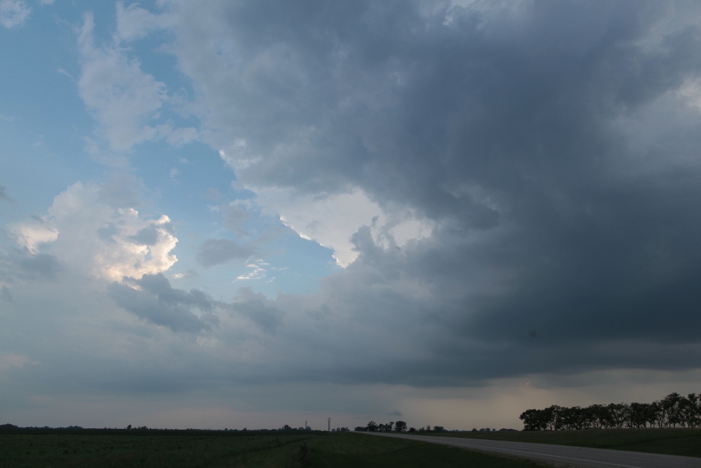
Bruce Lee and I took off early from work to chase storms along a warm front lying across central Minnesota. The warm front had a bit of a sloping frontogenesis region with somewhat warm mid-level temperatures to the south. This pattern often puts the strongest storms above the cooler surface air north of the warm front, and that's what we acknowledged could happen today (and indeed, that's mostly what happened), but there was enough of a tornado risk along the warm front that we decided it was worthwhile to be along the warm front for whatever might happen there.
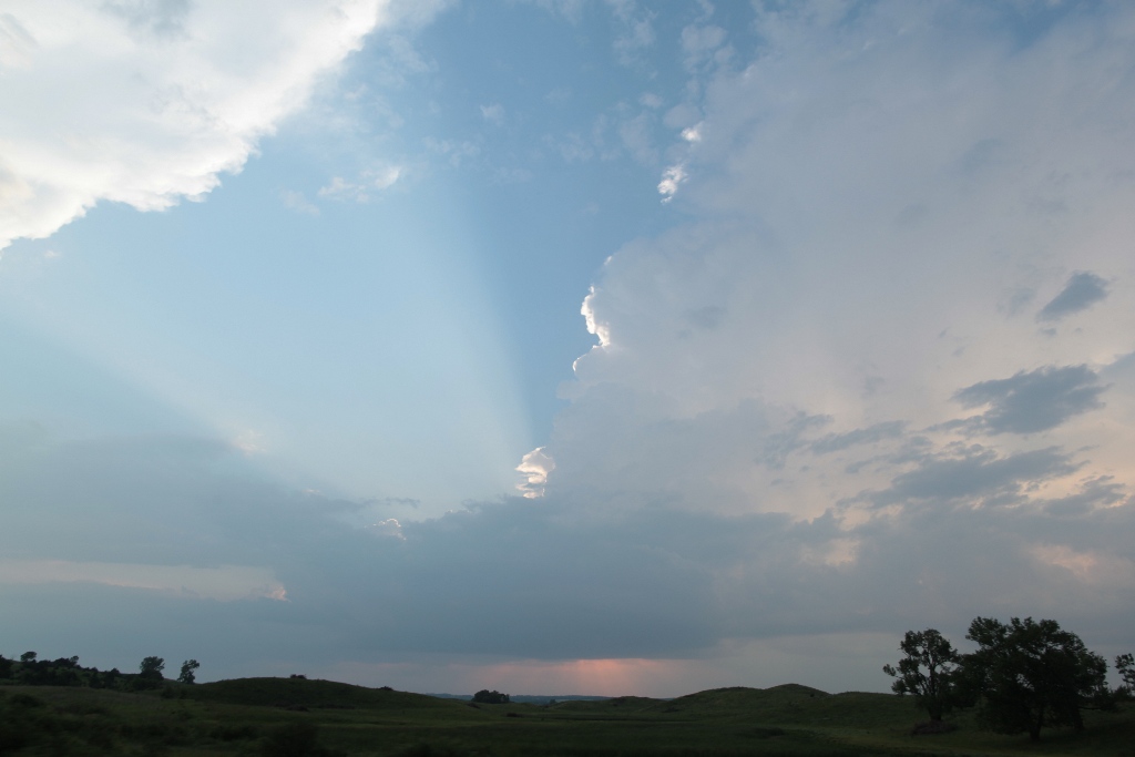
The highlights of the chase were watching an elevated severe storm west of Aitkin, MN as well as a nesting red-necked grebe and some yellow-headed blackbirds in a pond somewhere near Long Prairie. A tornado watch was issued, and storms slowly developed near the warm front, but the development was not particularly vigorous, and the updrafts were rather narrow with the storms looking LP (low precipitation). From our bird slough, we dropped south to I-94, went west to near Alexandria as new storms developed there (but died), and then went south to a severe-warned storm near Montevideo. As we approached that storm, it weakened below severe limits, but it continued to produce occasional anvil zits. We came across Bill Reid and the Tempest Tours vans and admired the struggling storms with them before driving back home.
 |
|---|
| This is a developing cell somewhere near Glenwood, MN. |
 |
|---|
| An LP-type updraft viewed from the Glacial Lakes region southwest of Brooten, MN. |
As we drove north, we drove through the end of a train of storms that had been going across the area including Brainerd, Aitkin, Grand Rapids, and Duluth all day. Grand Rapids had received about five inches of rain (more than double any other rainfall amount I had seen between moving up here in 2005 and July 2013), and Duluth had over nine inches. Severe flooding hit Duluth, causing many problems with flash flooding and street washouts there, and although Grand Rapids fared a lot better, the subsequent flooding along the Mississippi River at Aitkin forced the Army Corps of Engineers to raise the water level on Pokegama to spread out the flooding a bit, flooding out and washing away a lot of docks and boat lifts.
Back to Storm Chases | Home