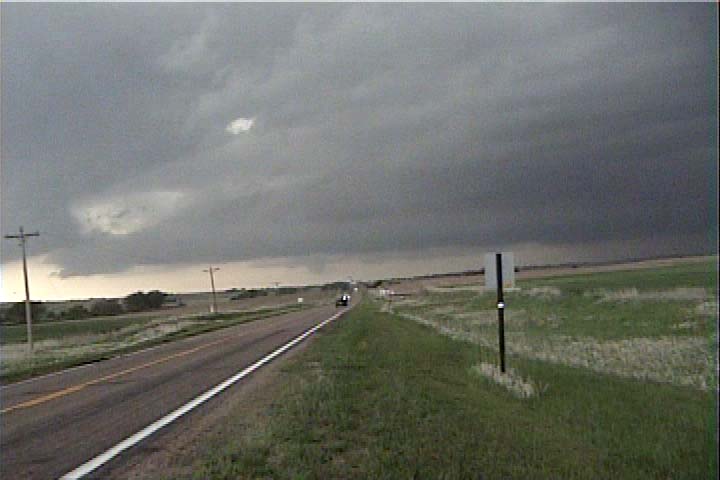
Scott Woelm and I started at North Platte, NE in the morning, along with Silver Lining Tours (Bill Reid, David Gold, and Crew) and several other chasers. After heading east to the Bosselman’s truck stop at the Elm Creek exit on I-80, we dropped southwest to intercept a cell that developed around 3:00 pm.
We got on the storm just west of Eustis, NE and could see a broad, bowl-shaped updraft base quite a distance to the southwest. We let it approach is for a while, but we realized it was moving north, so we continued on Hwy. 23 to the intersection of Hwy. 47, just east of Farnham, NE.
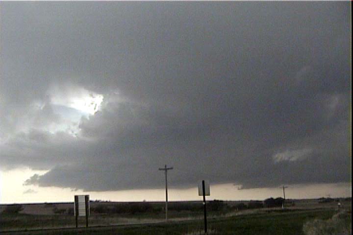
There was a nice LP storm off to the southeast (left from our perspective) of our target storm:
We started to see some funnels forming under the updraft base of the main storm, and upon closer inspection, we saw there was a horseshoe, shaped RFD partially occluding the updraft of the storm.
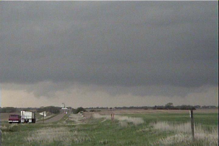
One of these funnels appeared more like a highly tilted tail cloud. There was rapid upward motion in it, so we zoomed in on it.
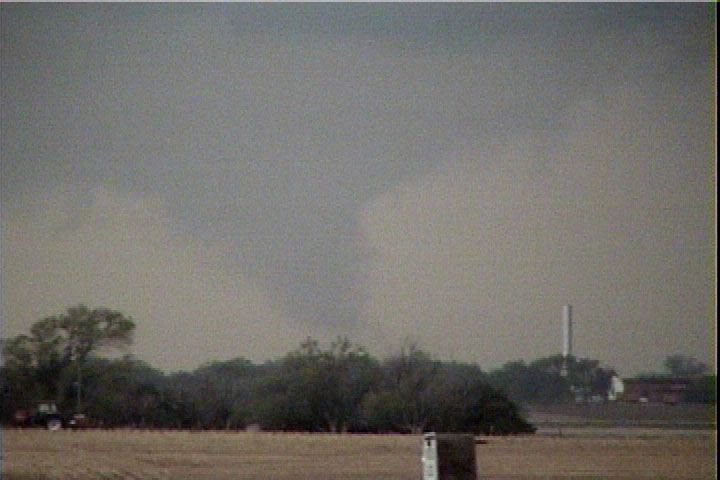
A second, smaller funnel could be seen off to the left of the larger one. From our perspective (after looking at video), it appears this one was pulling up dust and dirt or perhaps just causing condensation very close to the ground. Rotational motion in both these features was evident, but it appears such motion was quite slow. Unable to judge their size from our distance, we cannot make a good estimate of what the wind speeds were, but it seems the tornado(es) are(were) fairly weak:
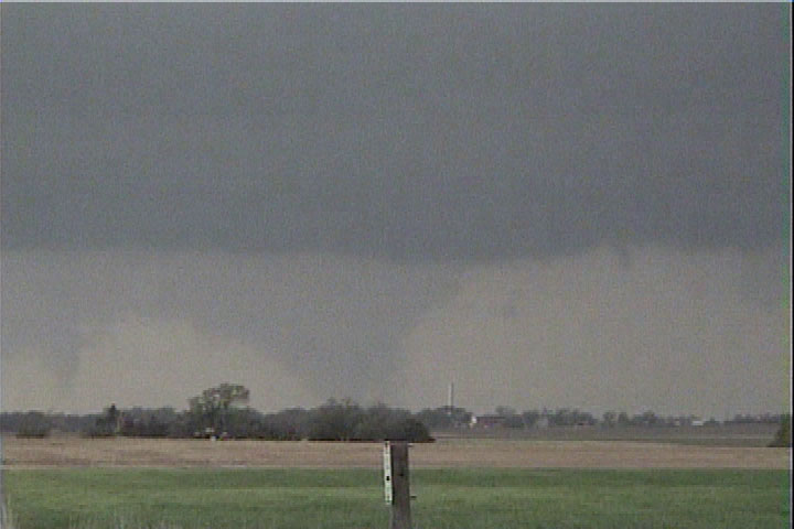
The larger tornado evolved into a cone, but motion was still not very rapid, so although the cone shape makes it look quite nasty, it was likely a very weak tornado:
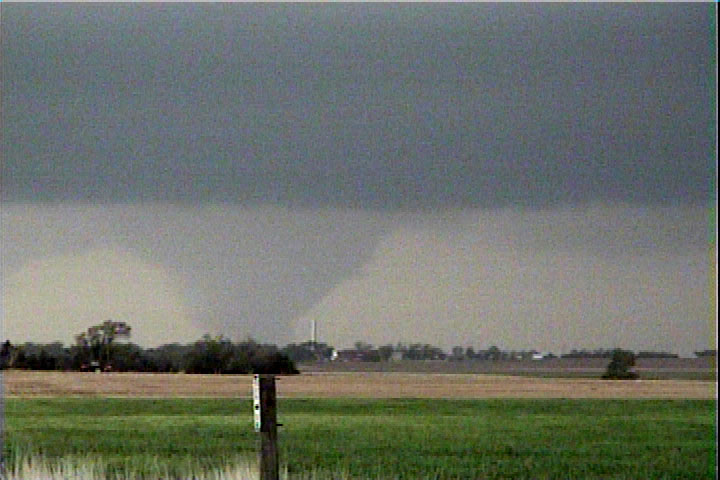
This drifted northwest or west, and, due to the poor contrast, nearly disappeared from our view entirely. The occlusion eroded the base of the storm away around it.
After this, we moved north back to I-80 and made a critical mistake. We abandoned the storm right before it produced a very large and photogenic tornado. The tornado came from the LP updraft pictured above.