It was a multiple tornado day for us. We began at the Stagecoach Inn (now a Travelodge) in Ogallala, Nebraska. This hotel is probably our most frequently visited.
We did some local touring in the morning to view some abandoned buildings in an old town nearby, but this turned out not to present any good photographic opportunities, so we drove over to the Windy Gap Saloon & Grill in Paxton to eat lunch. The portions were generous and delicious!
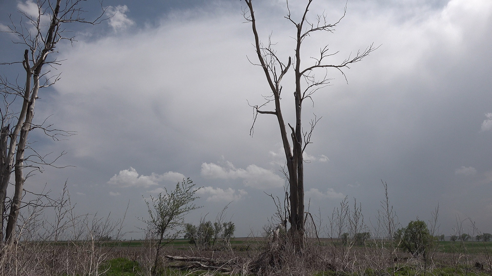
After lunch, we drove south and waited near Sutherland. An initial line of storms developed overhead and to our east. It was slightly tempting to go after those, but other cells were starting to develop closer to the target area, so we stuck with our initial plan.
Multiple cells developed, and it was fairly easy to choose the largest one. We wanted to stay ahead of it, so rather than drive straight south toward it, we stayed a little northeast and went to McCook. It was a bad time to encounter a road stripe painter on our route. The going was rather slow for a bit, and by the time we got to McCook, the updraft base was in good view. We stopped to shoot some video on the east side of town, but then the base started to get north of our latitude, so we figured it was time to go and stay ahead of it.
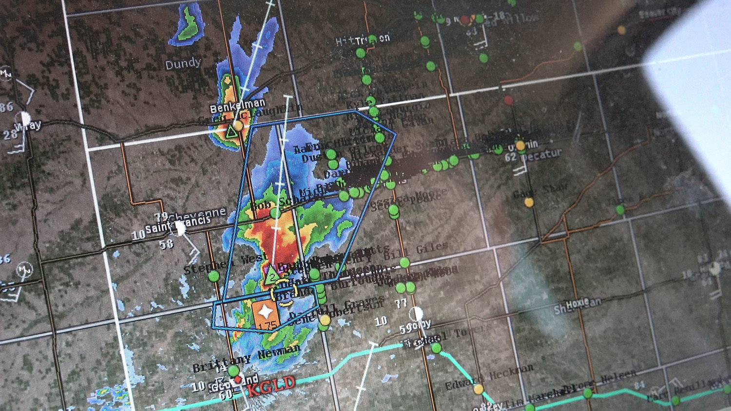
Radar view of the initial storms that developed. We intercepted the largest storm in this picture.
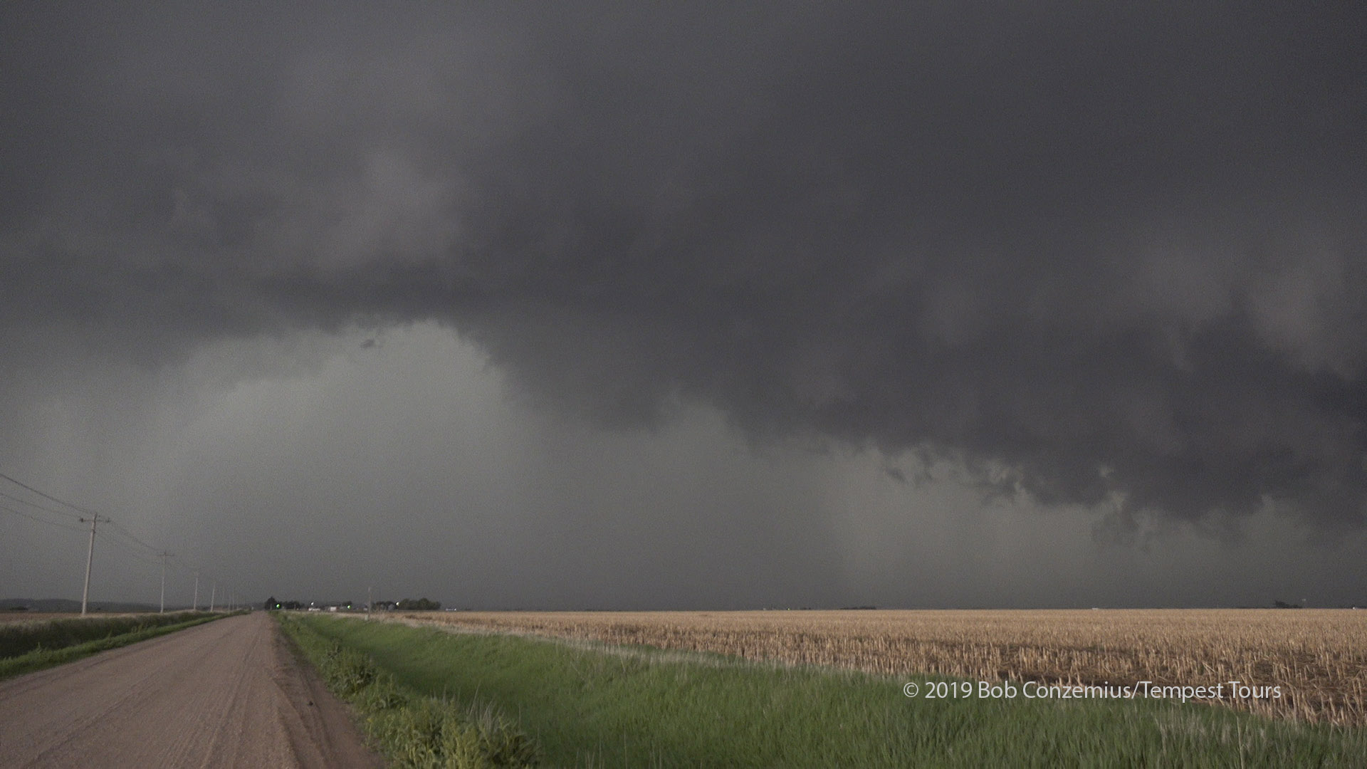
Our first look to the southwest toward our developing storms.
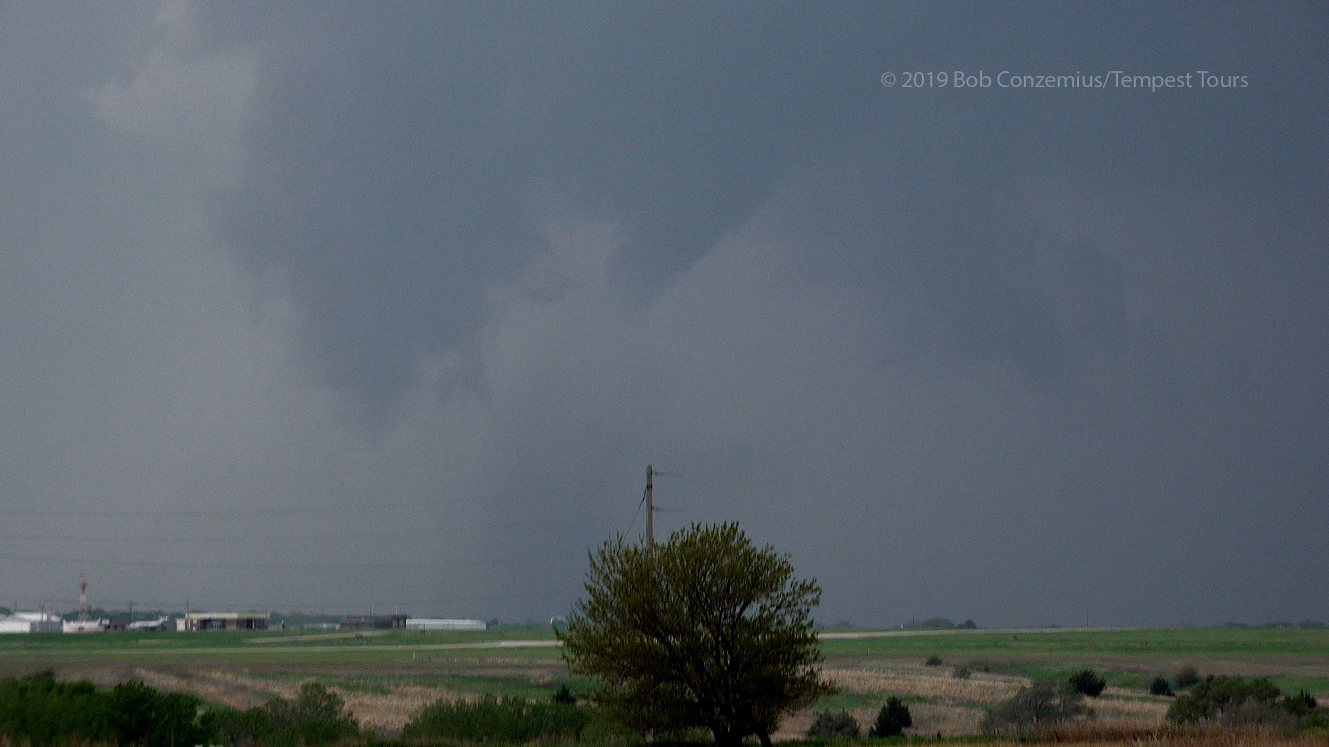
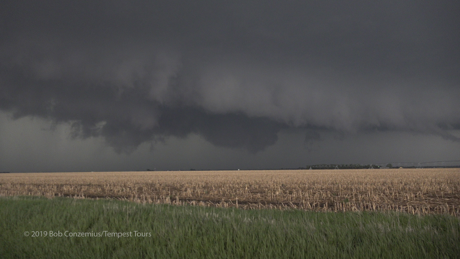
Our first look at the base of the storm on the east side of McCook, NE. Do you see the mid-level funnel?
As we got east of town, a large lowering developed from the updraft base, and a tornado warning was now in effect, so we decided we should have a look while the base was fairly close to us and before we had to drive northeast. Our road options required us to drive east far ahead of the storm if we wanted to remain on decent roads.
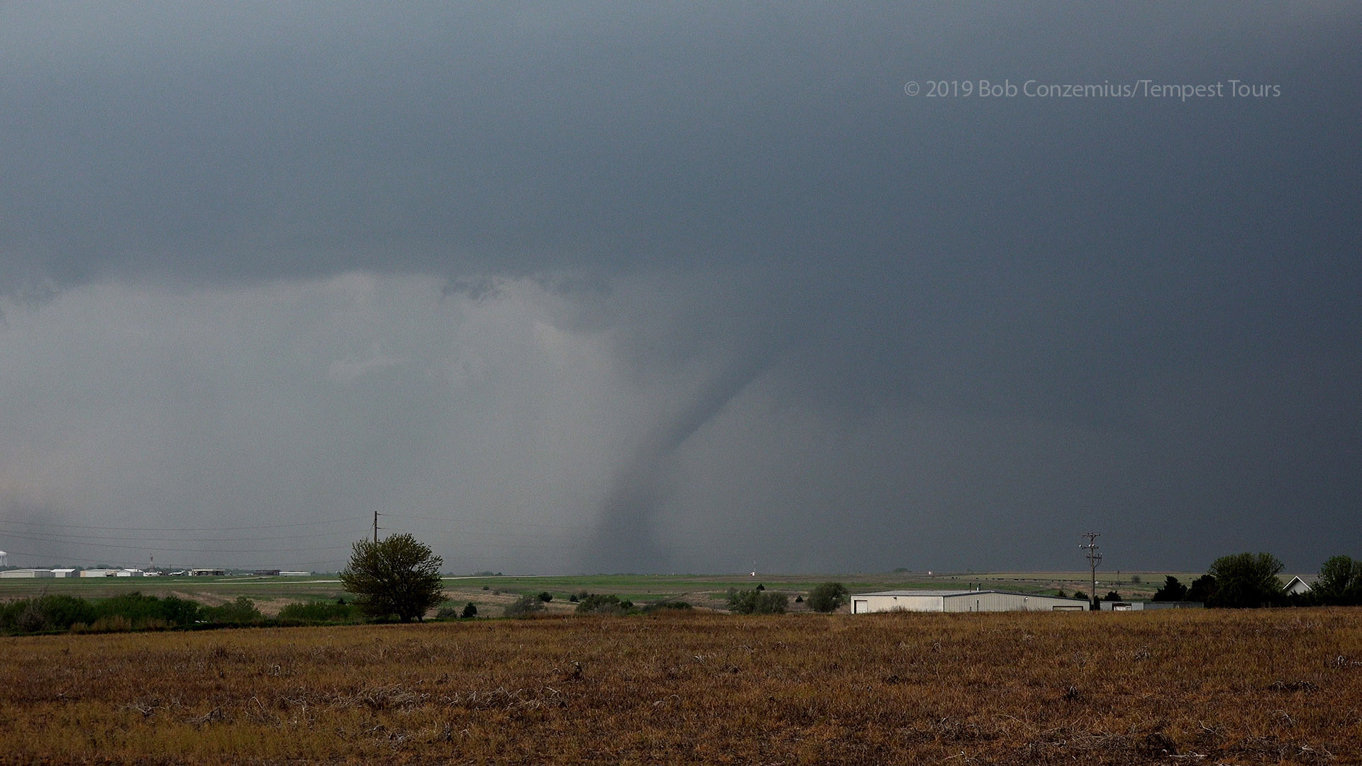
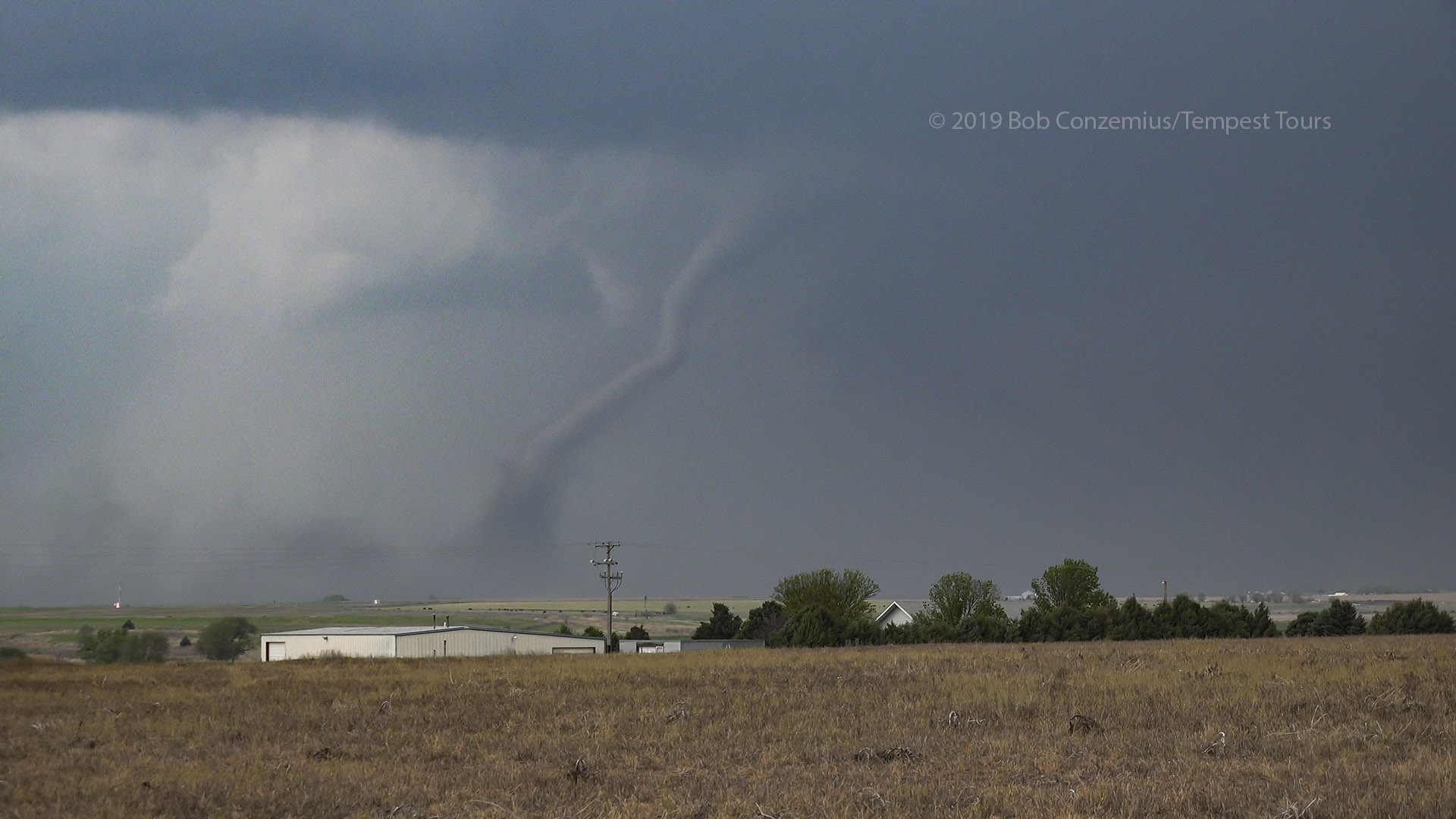
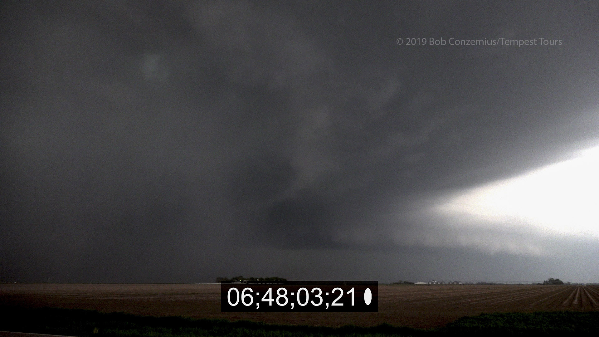
The columnar lowering looked very suspicious, but we were far enough east that rotation was not easy to discern. There was dust underneath this lowering, and there was an RFD wrapping in, so it likely was a developing tornado (or already a tornado). We continued to look at it, and indeed, a more laminar funnel developed at cloud base, and a dust tube rose from the ground to meet it. Tornado!
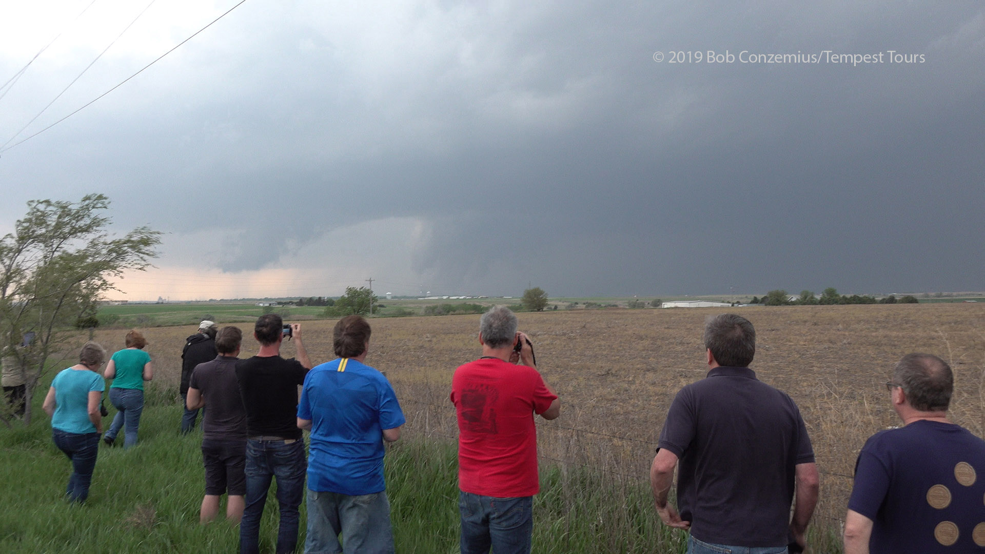
Our first look at the developing tornado from our vantage point east of McCook.
It looks awfully ragged, but it is a tornado with a swirl of dust underneath. From our distance, we could not easily see the rotation.
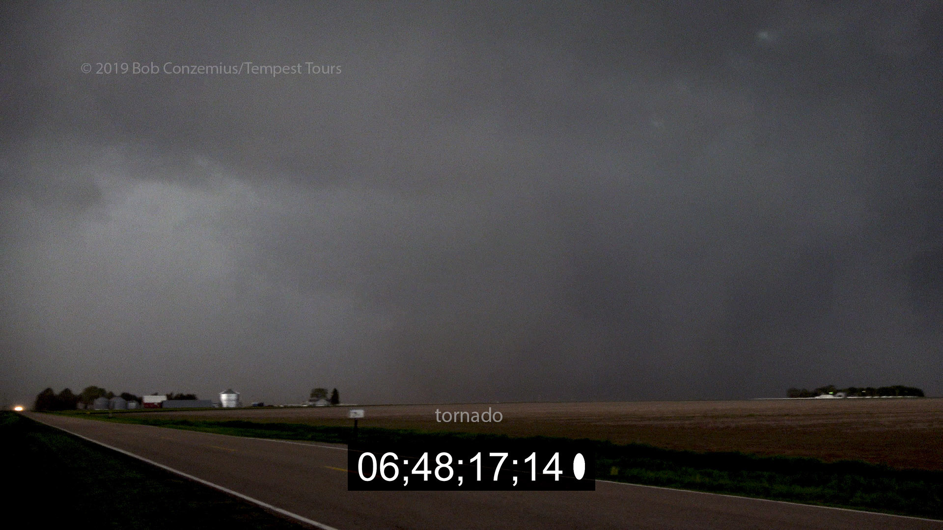
Zoomed in a bit more, it's clear there's a funnel with a tubular dust column underneath. Tornado!
The funnel becomes more laminar, and the dust tube connects with it.
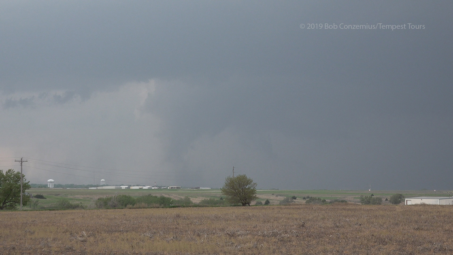
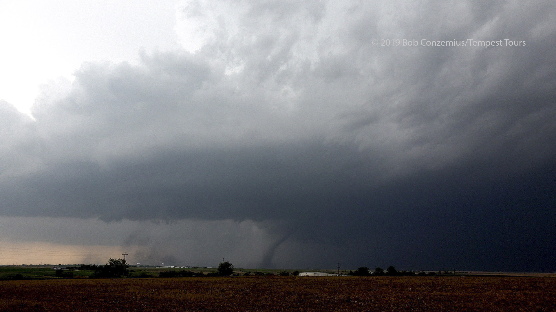
A wider view of the storm with the tornado underneath it (darkened and contrast enhanced).
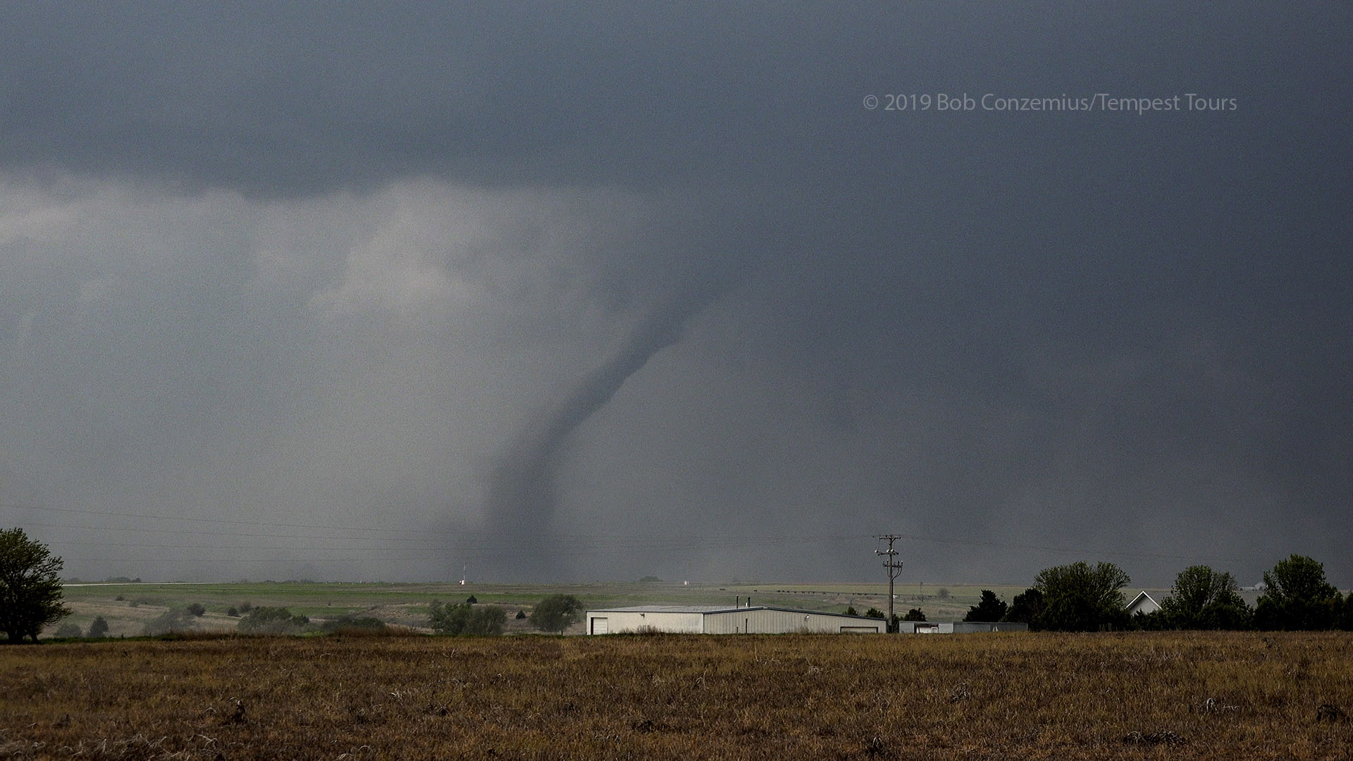
As the storm moves slightly closer, the tornado comes into better view.
The rope-out is commencing, but condensation is much closer to the ground.
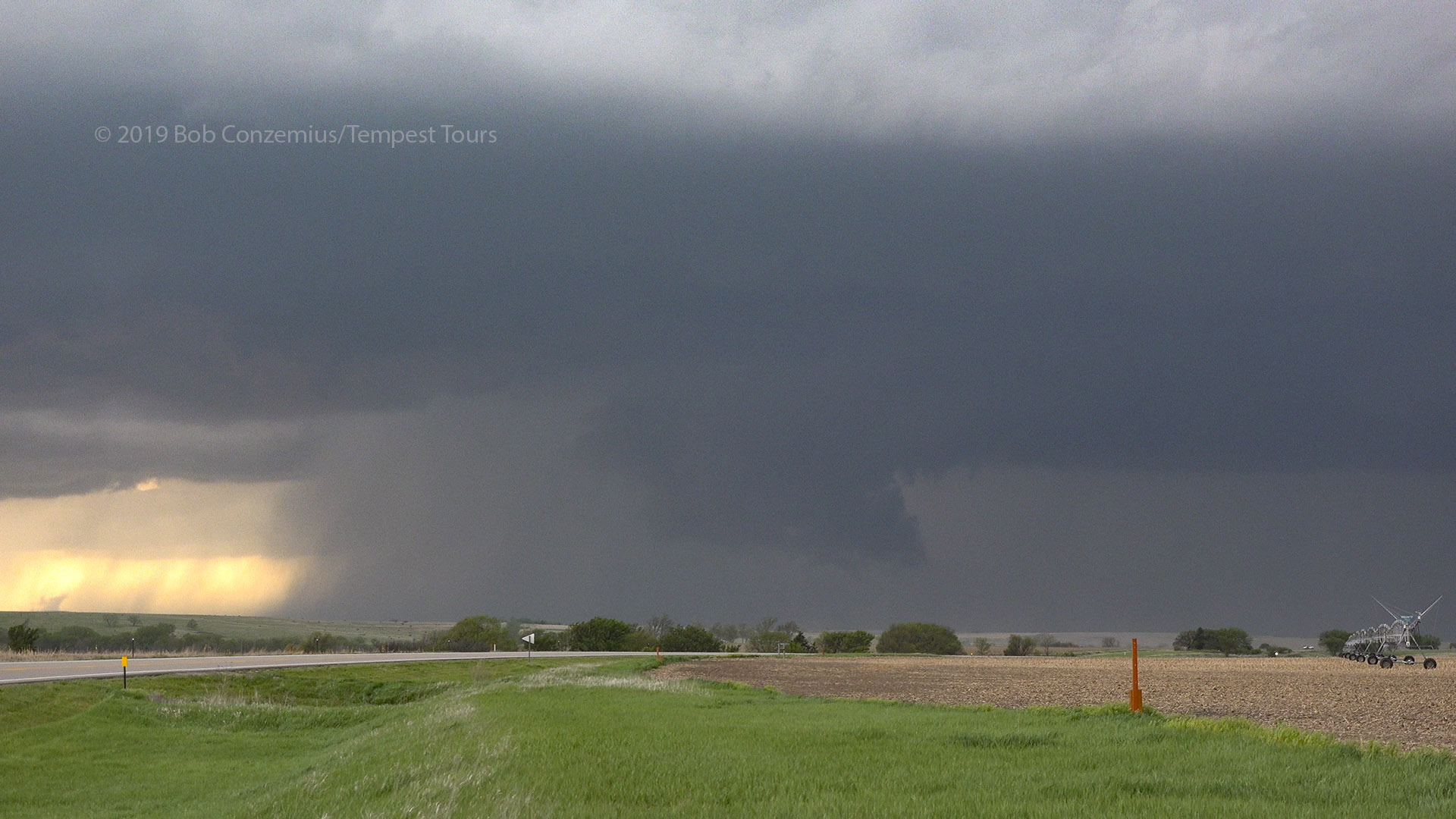
With the tornado now roping out, we decided to start the long drive to our next deployment. There was no major north road for over 30 miles. It felt like a really long drive with a tornado-producing storm now mostly out of sight. We turned north on U.S. 283 and paralleled the storm for a bit and were again getting a little north of the updraft base when we heard tornado reports to our west-- just a little too far away to see. We turned west on Nebraska 23 at Elwood and drove to Eustis, where we saw a dark, slender cone tornado in full contact with the ground to our west. By the time we stopped a couple miles west, it had roped out, but there was a new wall cloud just to our west. The inflow was strong into this wall cloud.
A new wall cloud near Eustis, Nebraska. Before we stopped here, we watched our second tornado of the day rope out.
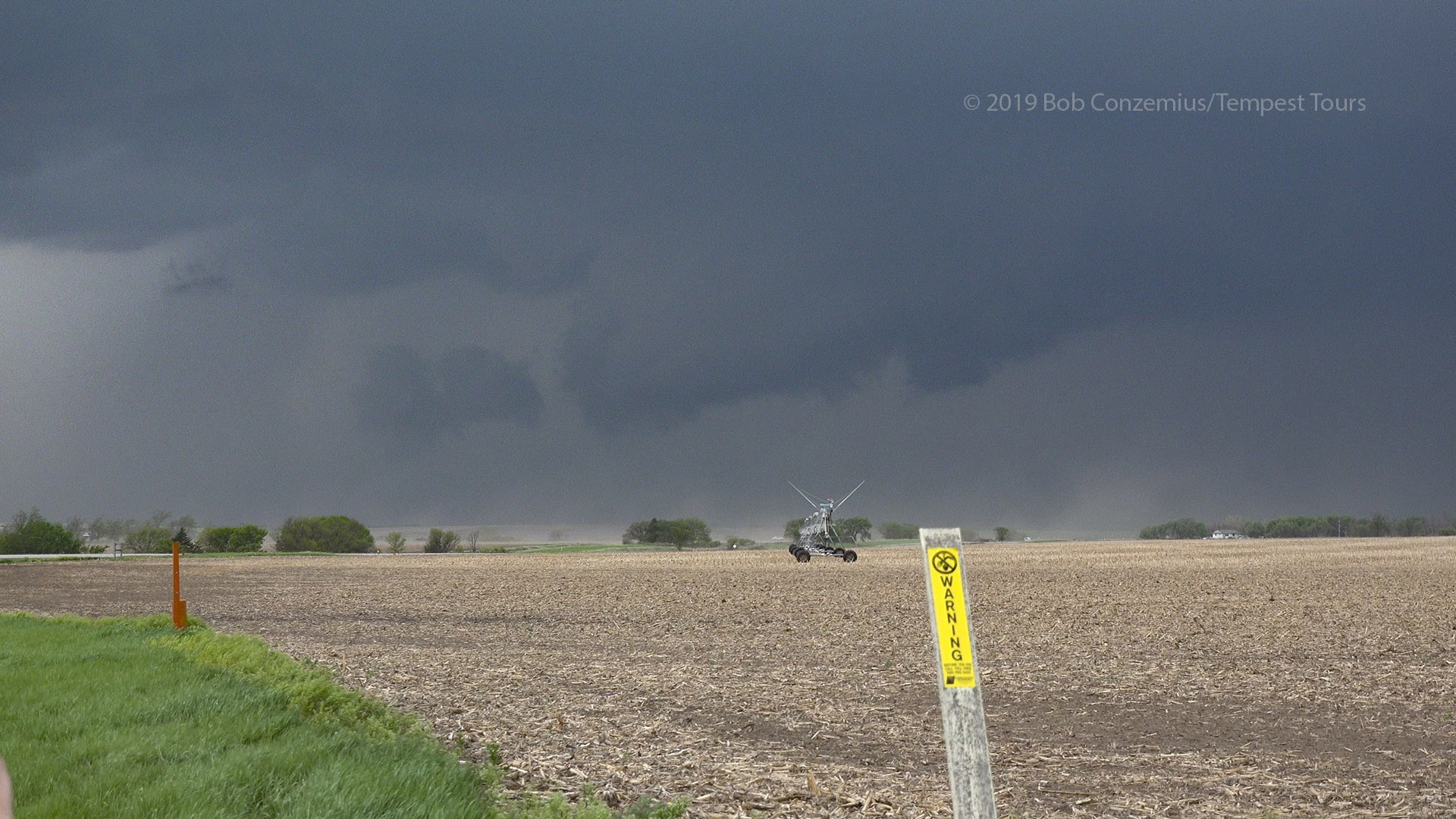
The dust here is blowing in toward the wall cloud, and it is rotating a bit faster. It produced our third tornado just as we drove away.
The wall cloud rotated strongly, and I thought it was about to produce a tornado, but it might be a few minutes-- better get northeast again in case the tornado doesn't develop until the wall cloud moves out of view. Just as we were driving away, a funnel developed, and a couple of the guests observed dust whirls underneath it. We then quickly lost sight of the action area (there was a lot of haze and smoke from Mexican agricultural burning). We again got within view back on U.S. 283 to the northeast, just a few miles south of Cozad. As we were trying to locate a good side road for stopping, a funnel developed along with more dust and debris at the ground. Yet another tornado! It weakened to just a funnel at cloud base by the time we stopped. While we were filming, another funnel devloped very close by. This was all occurring around a center of rotation just to the south of a very low, elongated wall cloud. A strong RFD was about to overtake us, so it was time to flee northeast.
There are two funnels on the left side of this picture. The darker one in the distance briefly became a tornado before we stopped at this location.
Looking more to the northwest into the notch of the storm. A rear flank downdraft is developing to the left of the shot and is about to overtake our position.
The area directly over the road is the center of rotation. We are just south of Cozad, Nebraska.
We drove north on U.S. 283 into Cozad just as the center of rotation moved over our road. We were directly underneath it. We turned east in light winds (after having been in strong westerlies in the RFD) and had rain curtains moving rapidly right to left in front of us. We were in a circulation and needed to get east and out ahead of it! Chris caught a tornado developing (and a power flash) behind us as we drove east of town. We stopped several miles east and got out to look, but I saw the RFD quickly approaching and yelled for us to continue east. Maybe we could have stayed a little longer, but the family at that location (we had pulled into their driveway in a bit of a rush to look at the tornado) took that as a signal that the tornado was heading straight for them (it was only the RFD) and climbed into their storm shelter.
This is how the storm appeared east of Cozad, looking back northwest.
We did not stop here long because the RFD was about to overtake us again. Our tornado is in the center of the shot.
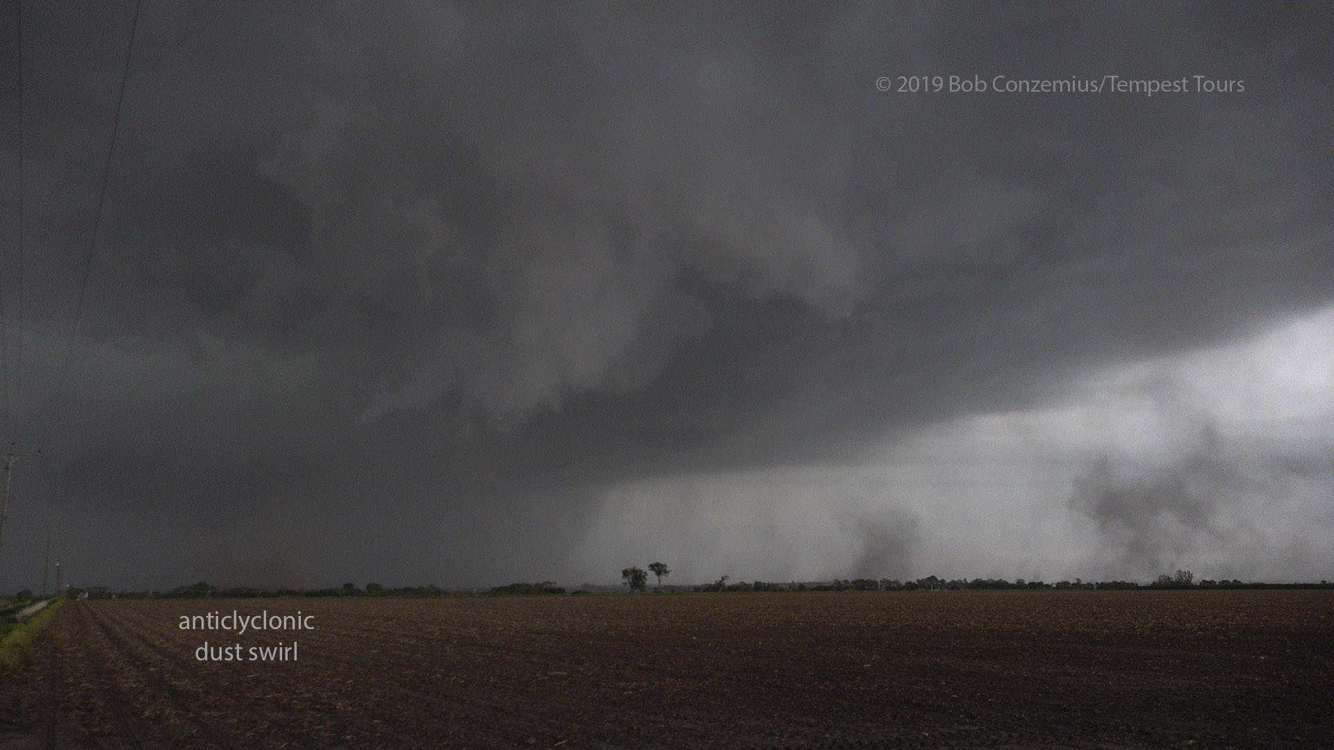
We stopped several miles farther east and had more time. The RFD punched hardest to the north of us now, but we still had westerly winds. Soon, the winds lightened up, a ragged and dramatic lowering formed just to our north and began to rotate. It actually obscured a funnel that Chris was able to see for a bit while I was looking in the other direction. A pronounced dust swirl soon developed underneath it, and we had an anticyclonic (clockwise-spinning) tornado on the south side of the RFD!
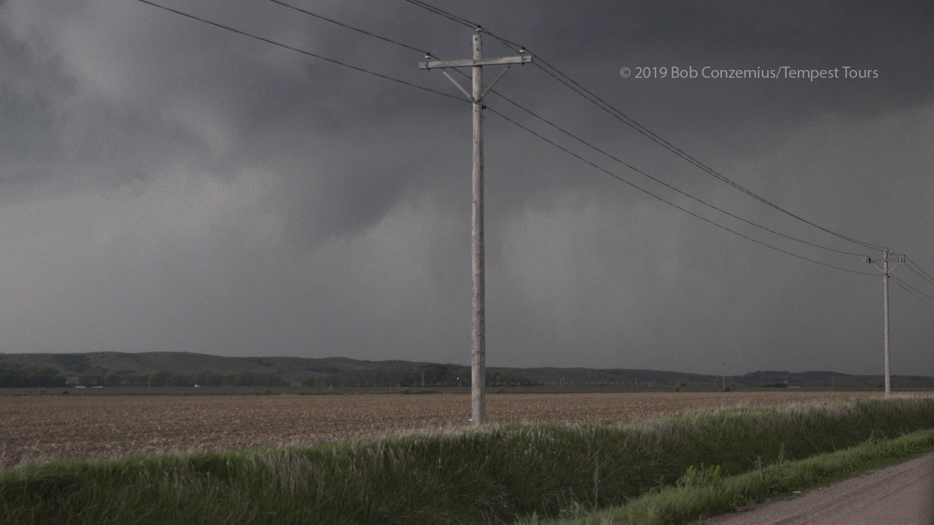
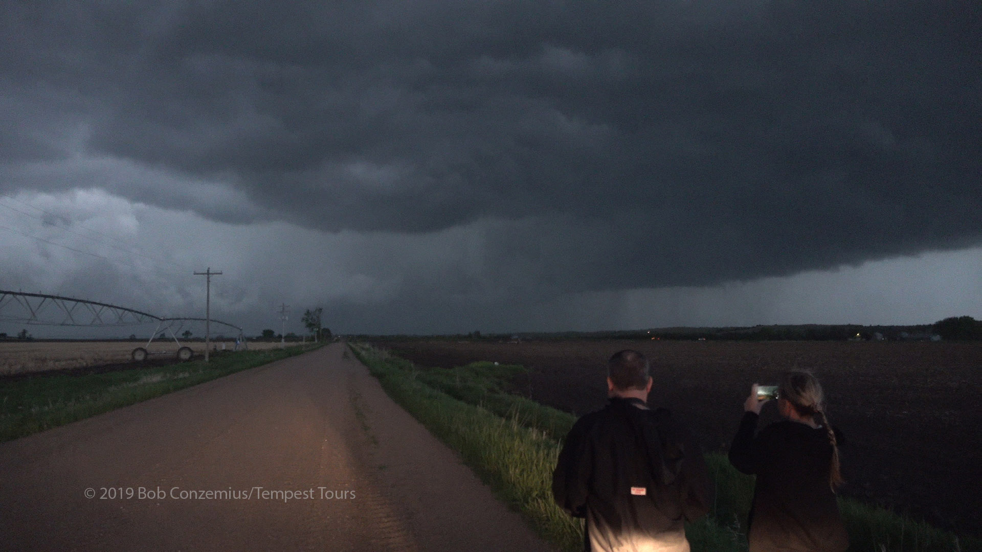
We continued after the storm, but it began to look a bit colder and more undercut, so we abanded the storm near sunset and started the drive south for the next day's chase. We stayed in Alma, NE overnight.
A brief, anticyclonic tornado developed.
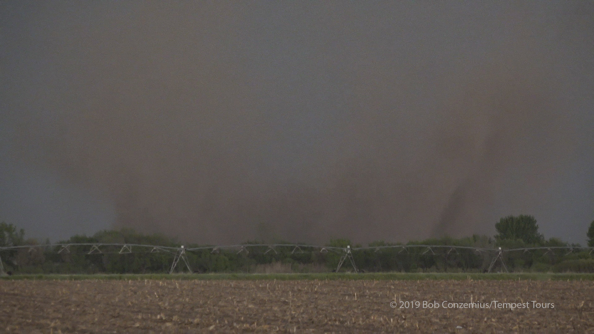
This dusty tornado was about a mile northeast of us.
We pursued for a bit longer, but the storm developed a cold, undercut look, so we started the drive south for tomorrow's storms.