June 4, 2013 Boise City Supercell
This was day number two of our chase trip. We started the day in Liberal, Kansas, and since we had a very short drive to our target in the northern Texas Panhandle, I took one of the vans in for some maintenance, and then we dropped off the guests for a bit of sightseeing at Dorothy's House followed by lunch.
After our lunch and sightseeing, we drove southward to get closer to our primary target in the northern Texas Panhandle. There was some evidence in the weather data and model runs that any storms that formed in the Texas panhandle would be relatively weak and short-lived, so I wanted to stay in position for a secondary target of storms developing on the Raton Mesa to the west. Thus, we stopped at Bryan's Corner in the Oklahoma Panhandle and waited for the cumulus to grow to the point of storm development before we committed to a Panhandle target. A few of our European guests and myself were not accustomed to the hot Texas sun, and we found whatever shade we could in temperatures that were approaching 100 degrees Fahrenheit (not really a good sign if you're looking for tornado-producing storms).
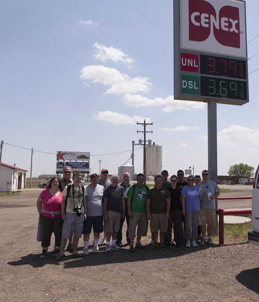 |
| Group photo of Tour 5. We felt a need to find whatever shade possible. |
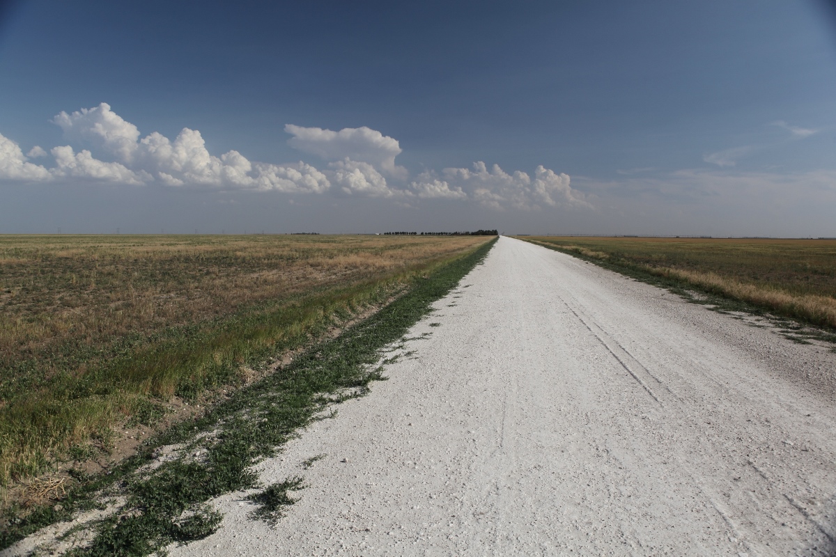
The cumulus to our south soon started to grow, and we could see some breaking through to the tropopause. Radar also showed some echoes growing somewhere east of Stinnett, so we started south through Perryton and continued south on U.S. 83 then onto Texas Highway 70, but the storms did not look good. They'd develop from narrow towering cumulus, move east of the dryline position, and then rapidly fade. This continued for maybe an hour before I had had enough and decided to head for the secondary target, but the clouds and weak storms continued to percolate like that for a while, which kept me looking behind my shoulder the whole way. To make matters a little more frustrating, storms would develop on the Raton Mesa and do much the same thing. Nothing was seemingly able to survive in any part of the Panhandles. West of Bryan's corner a few miles, in a bit of indecision, we pulled over and watched the dryline to the south, which was starting to slowly retreat. Retreating drylines, in my experience, are never great for producing sustained severe storms.
 |
| Struggling dryline updrafts, which failed to develop into severe storms. |
A look on Mobile Threatnet revealed a severe storm that had developed in southeastern Colorado, but it was almost 200 miles away. We would never reach it before dark. My decision at that point was to find rooms in Guymon, then take the guests out for after-dark lightning photography once we finally reached the target storm. The room check-in went well, and we were back on the road within half an hour, going west towards Boise City, and then our plan was to take U.S. 385 north into far southeastern Colorado.
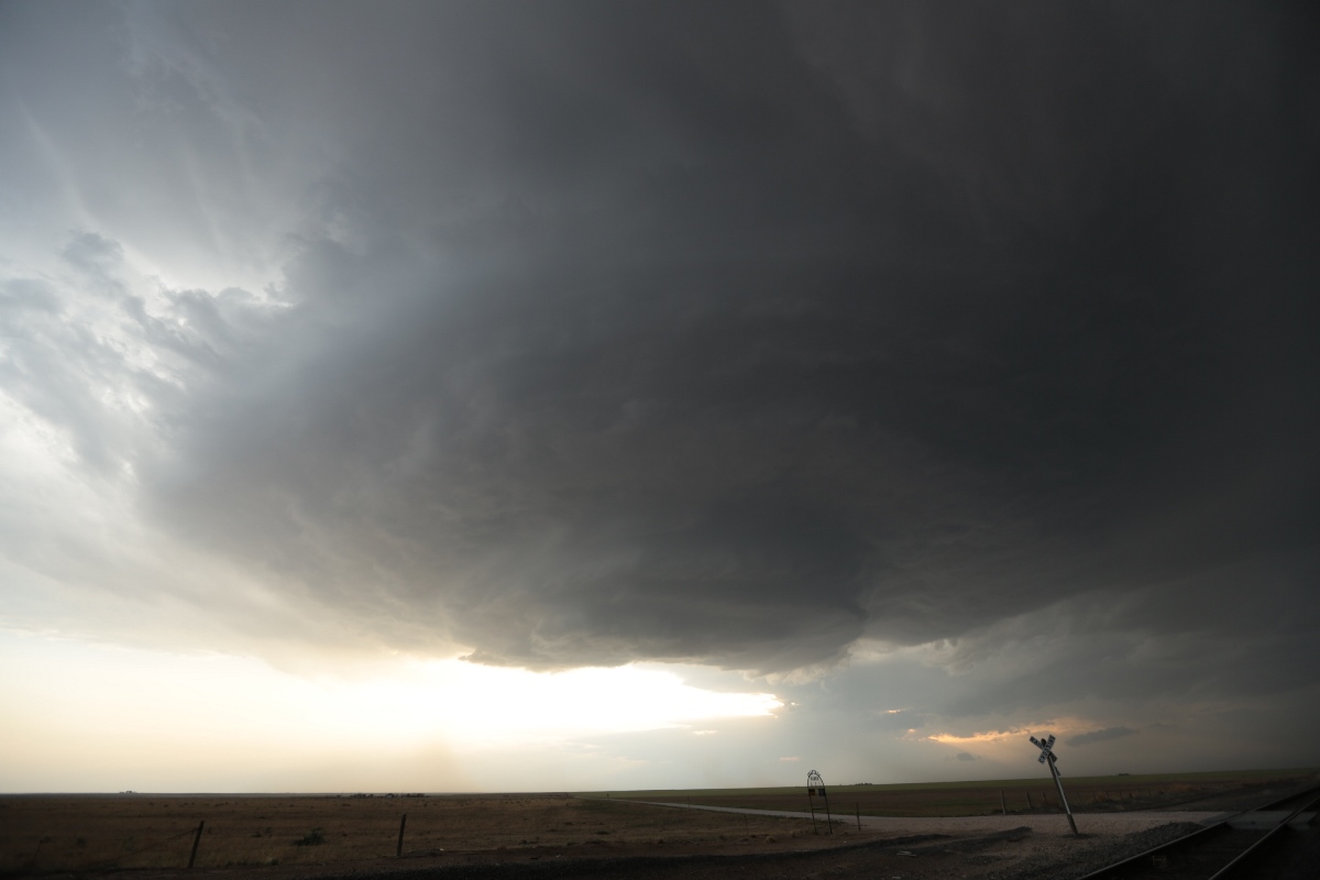
That never happened. A new storm developed in the far northwestern Oklahoma Panhandle, and although it didn't yet look very strong on radar, the base looked pretty healthy visually. Since it was still on our route to the Colorado storm, we could take a look at it and continue to Colorado if it died like earlier storms had done.
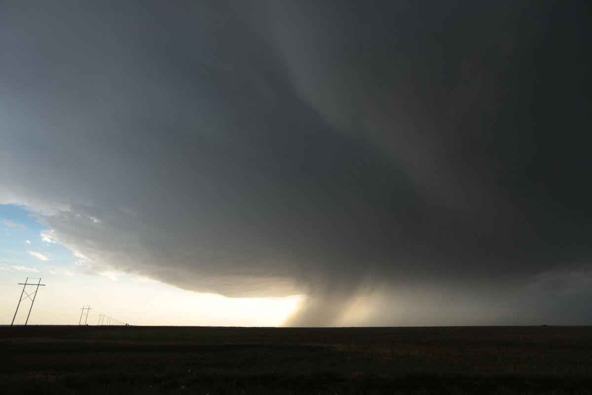 |
| A new target storm entering the Oklahoma Panhandle near Boise City. |
As we drove closer, the nicely sculpted structure of this high-based storm revealed itself. This new storm would make a fine target, and we still had plenty of light!
 |
| A closer view of our new storm shows a nice, sculpted, bowl-shaped base. |
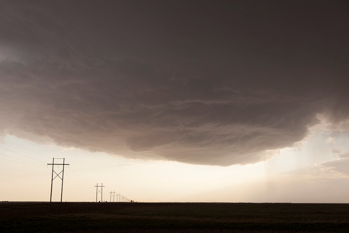
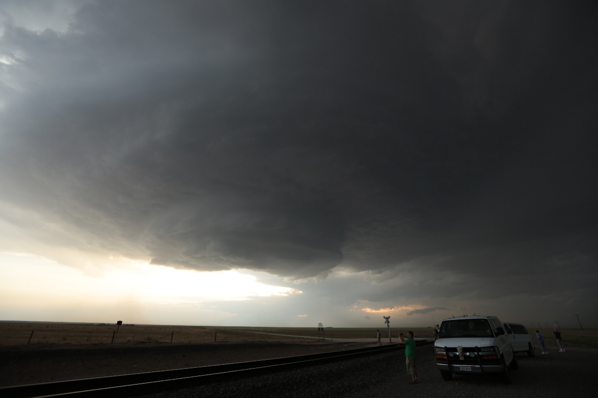
Since it was starting to move southeast (a right hand turn, which indicated it was becoming supercellular), we got in front of it and stopped at a spot a few miles southeast of Boise City on U.S. 287. The storm looked like a spaceship, and it was moving only about 20 mph or so. We would have a great chance to take pictures as the sun set and daylight faded.
 |
| Just south of Boise City, now right in front of the southeastward-moving storm. |
 |
| Vans and guests in front of the storm. |
 |
| Two guests somewhat dwarfed by the storm but enjoying it a lot. |
 |
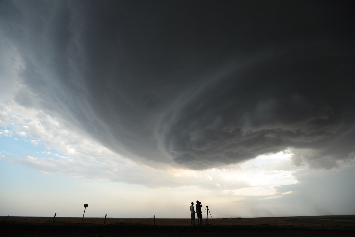
| An RFD cut slices into the base. |
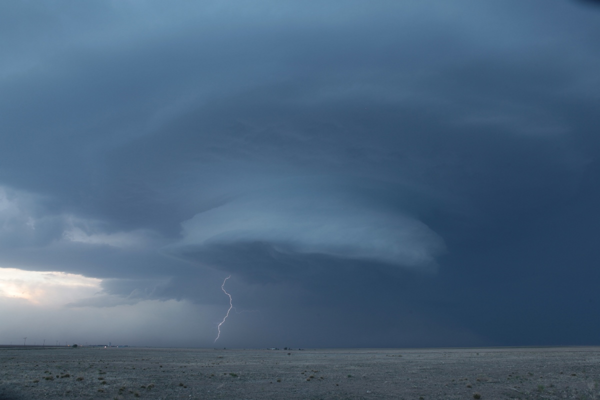
As the updraft base drew near, an RFD (rear flank downdraft) bisected the base, but it looked pretty dry as this was, more or less, an "LP" cell with no really opaque precipitation core. That might have fooled me into staying maybe a little too long. Some cloud-to-ground lightning strikes started to hit a couple miles to the north, and I would normally take off at that point, but a train was approaching, and I wanted to get some video of the train passing us.
Just as soon as the engines got past, a much, much closer cloud-to-ground (CG) strike hit, and it sent us diving back into the vans (check back again for a video still that I will post once I get to processing the video). As soon as we pulled back onto the road, our luck of having no precipitation falling for our photo opportunity changed, and hail started to fall while CGs struck around us. Sure enough, one of the hailstones added a new crack to our already cracked windshield. After at least a couple miles of this (this must have been a new blob of precipitation that had descended from the storm rather than a continuous shaft of precipitation approaching us), we got ahead of the hail and drove another 10 miles or so to have another long look. The sun had set, so the color was gone, but the structure was still there.
 |
| A lightning bolt pops out behind the storm. |
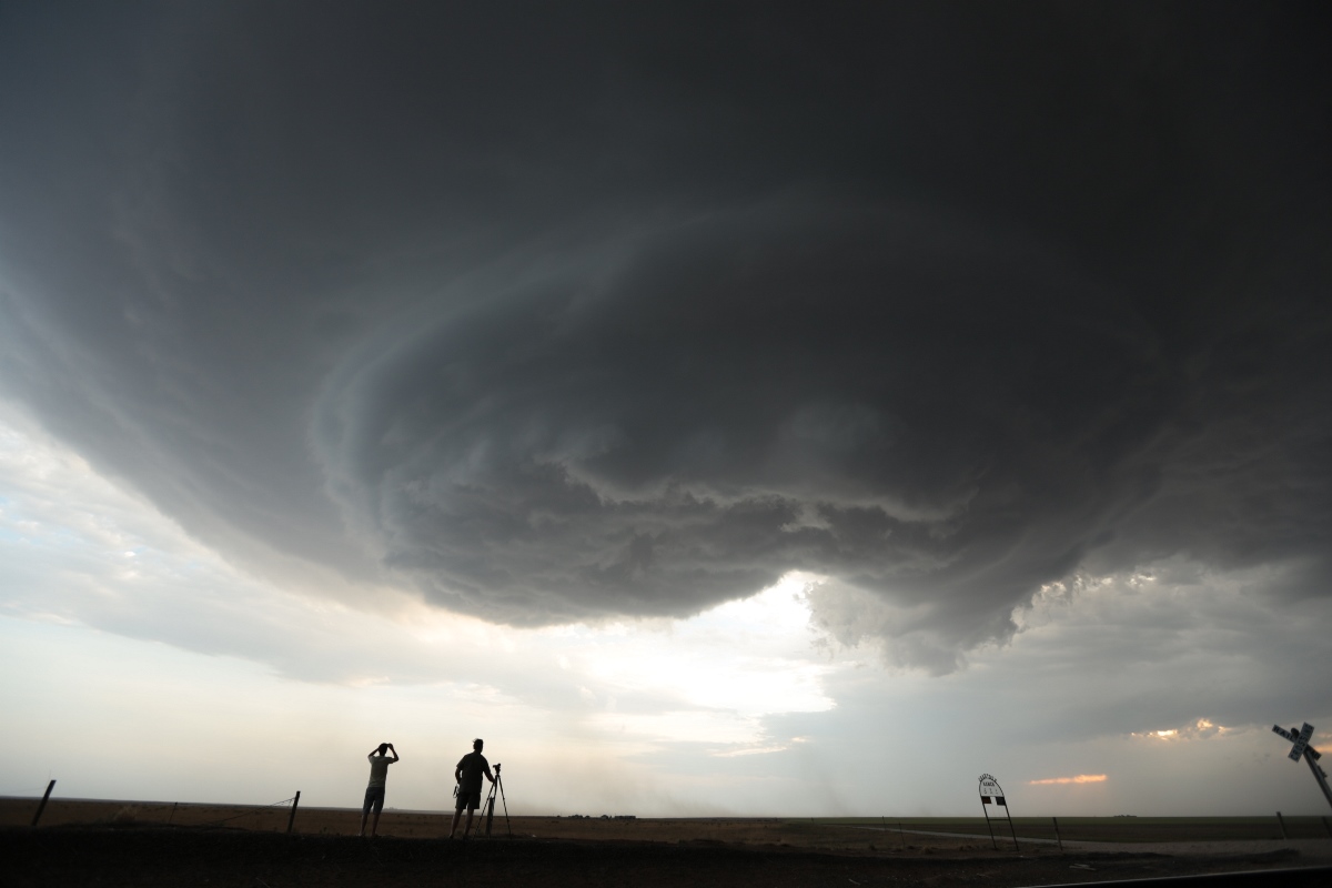
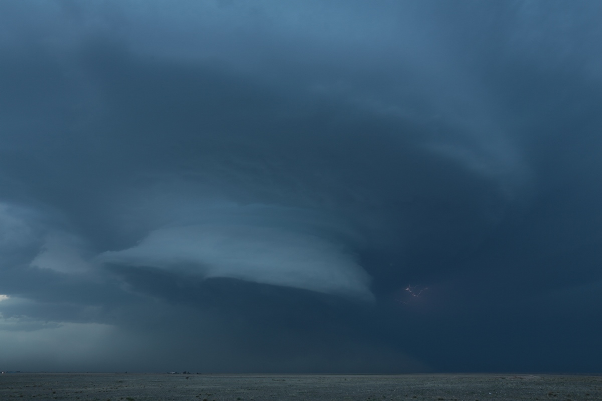 |
| Structure still looks good, and a dust foot is visible underneath. |
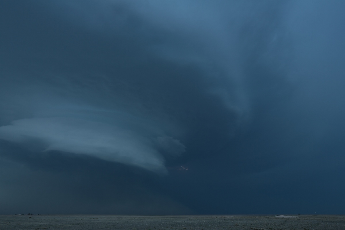 |
| Last shot before we drove farther east for some lightning photography. |
We got to Stratford, TX and turned on U.S. 54 back northeast toward Guymon. We decided to stop for one more lightning opportunity as the storm approached us. The guests managed to get a few shots, and then we let the storm pass in front of us, to avoid more hail, before we finished the drive back to Guymon.
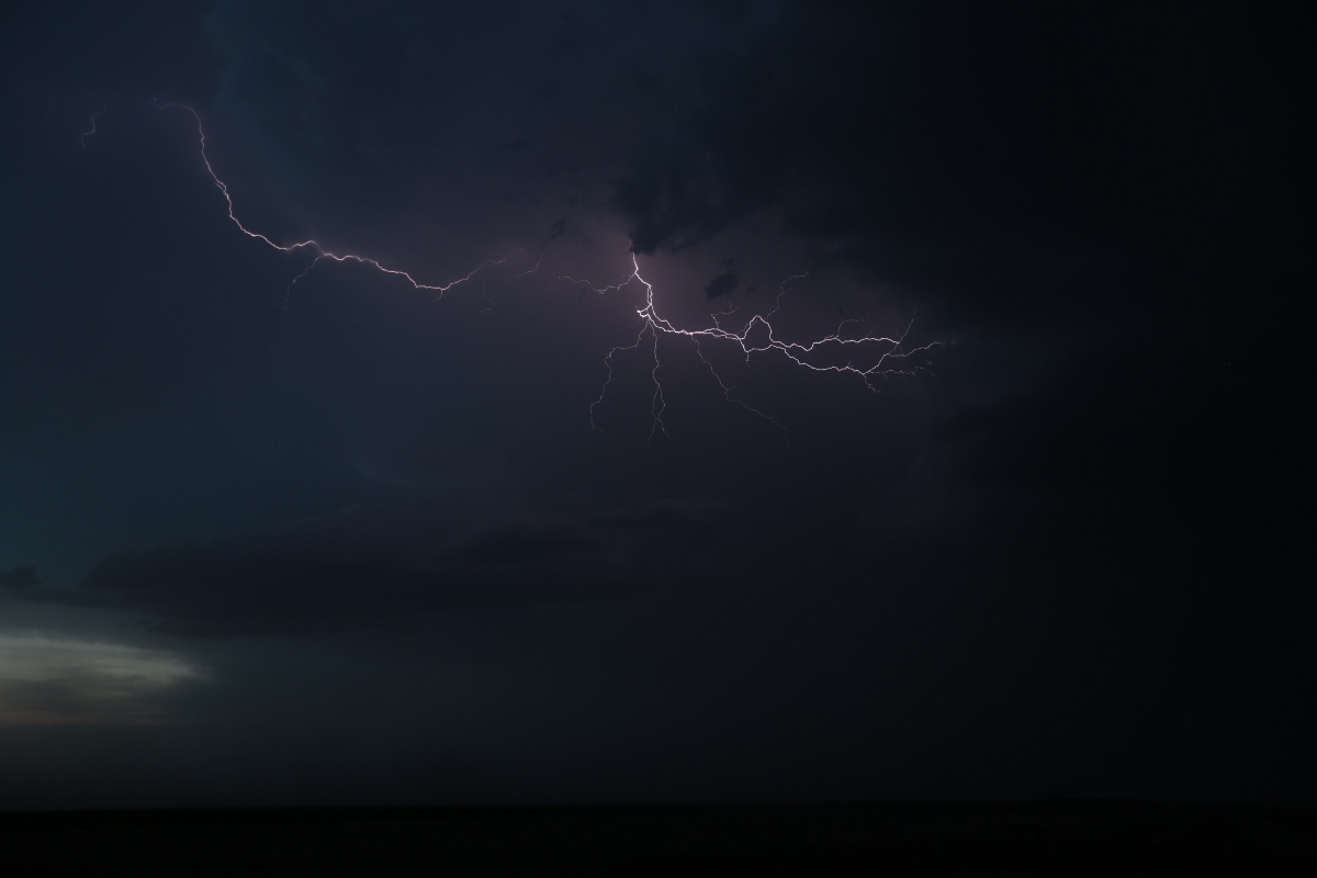 |
| Not a whole lot of lightning, but this is better than nothing. |
Back to Storm Chases | Home