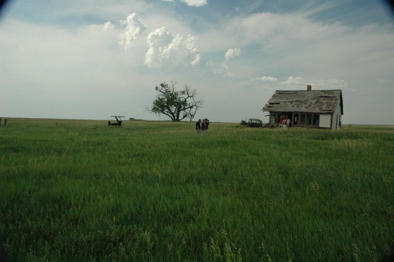
Abandoned farm house with cumulus developing.
The target area for this day was northwestern South Dakota, just north of the Black Hills. If one were to judge the day by how well we picked the location of initiation of storms, it was a great success. One storm developed right overhead as we were taking pictures of an abandoned farmhouse. After following this storm for a bit, we decided a storm to our southeast looked better, so we targeted it. This second storm quickly became very interesting. We did not have the best view from the northwest, but it was evident the storm had some nice LP structure and was beginning to evolve into more of a classic supercell. Through the rain, we could see the flanged and/or striated base, and the storm had a very vigorous updraft. Just as we were moving into position on the southeastern flank, the storm was "slammed" by a very healthy, left-moving storm that arrived from the south. For about 10-15 minutes, I was fooled into thinking the storm would survive this assault, as the base and updraft appeared to become better organized again, but suddenly, the updraft rapidly narrowed and died. As we continued east, another storm developed just to the south of the deceased storm and gave us a nice look at sunset.
Abandoned farm house with cumulus developing.
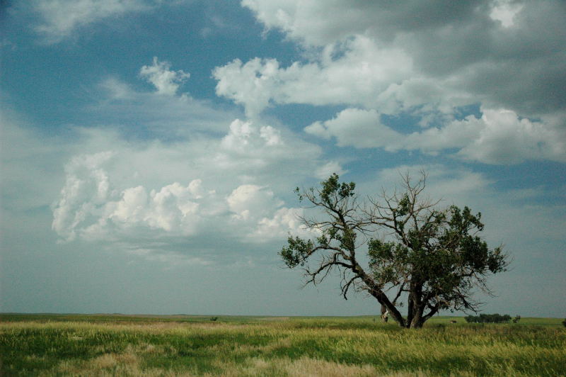
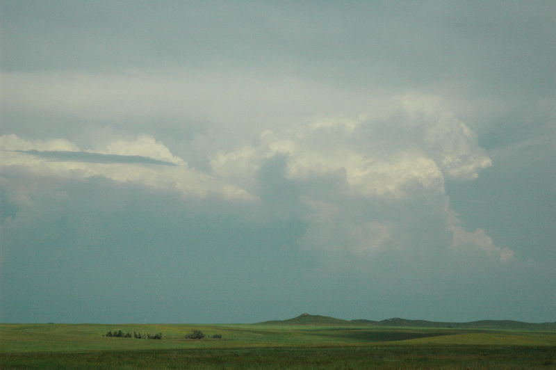
Cumulus clouds grow in coverage and vertical development.
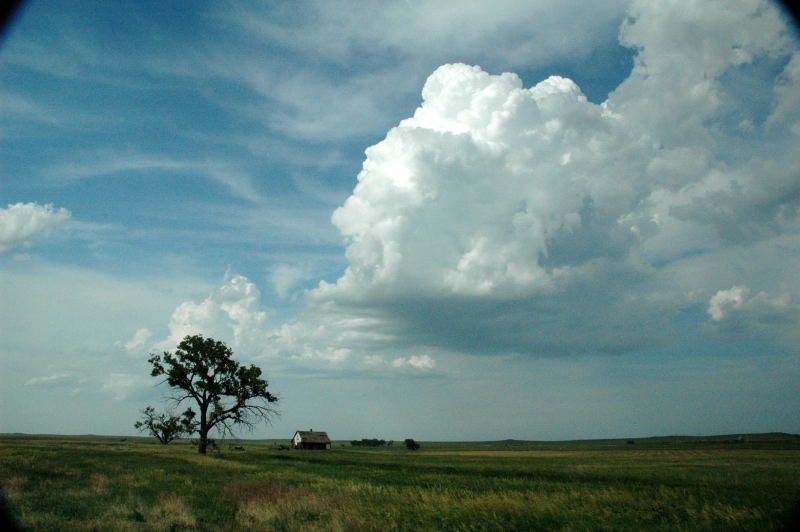
Soon, a developing cumulonimbus is in front of us.
We followed the storm for a bit, but it did not become well-organized.
A healthier storm to our southeast became our new target.
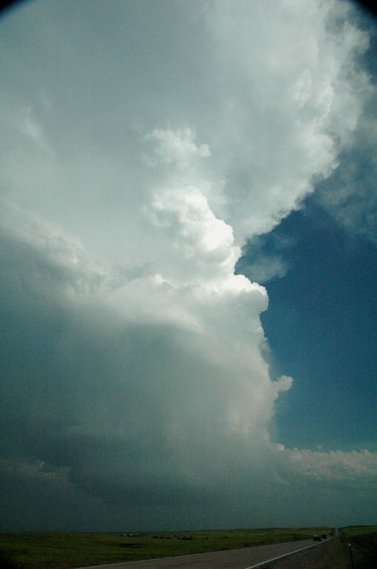
This storm became very interesting and, at this point, was producing tennis ball size hail, witnessed by a motorist who drove up to us immediately after I took this photo.
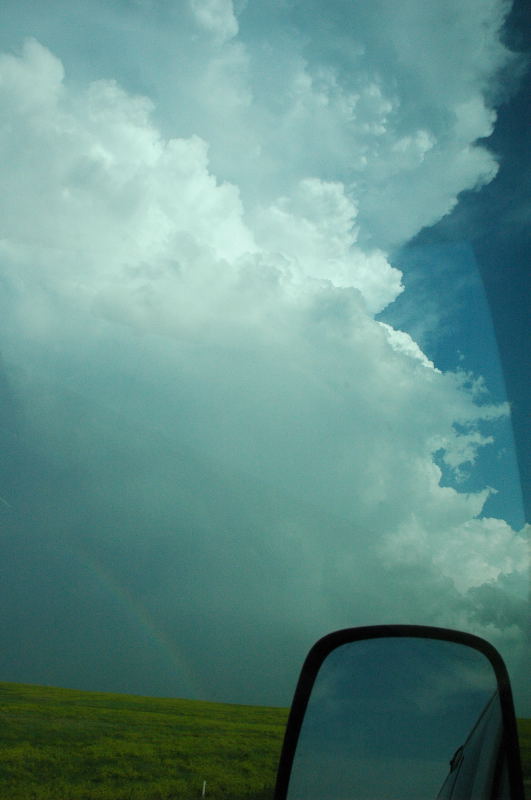
Another quick shot from the west as we continued onward to the southeastern flank.
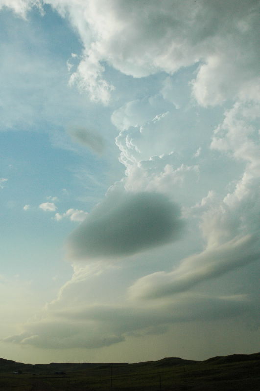
The storm looked like this about 20 minutes after being "slammed" by the left split. The updraft is rapidly shriveling.
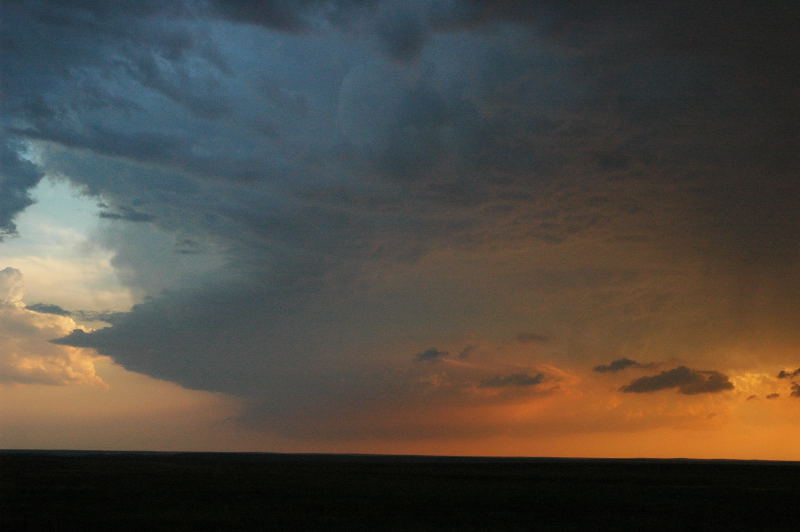
Another storm quickly developed to its south and gave us this nice view from farther east at sunset.