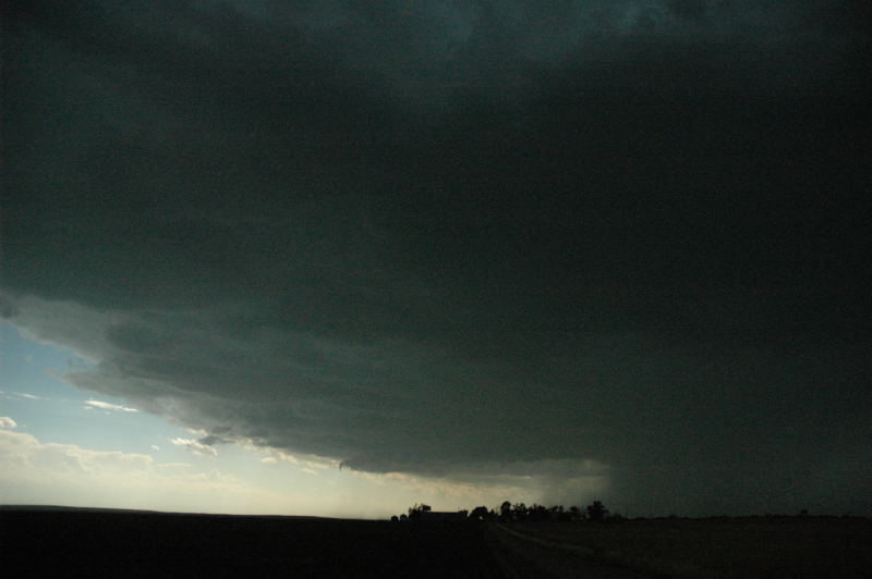
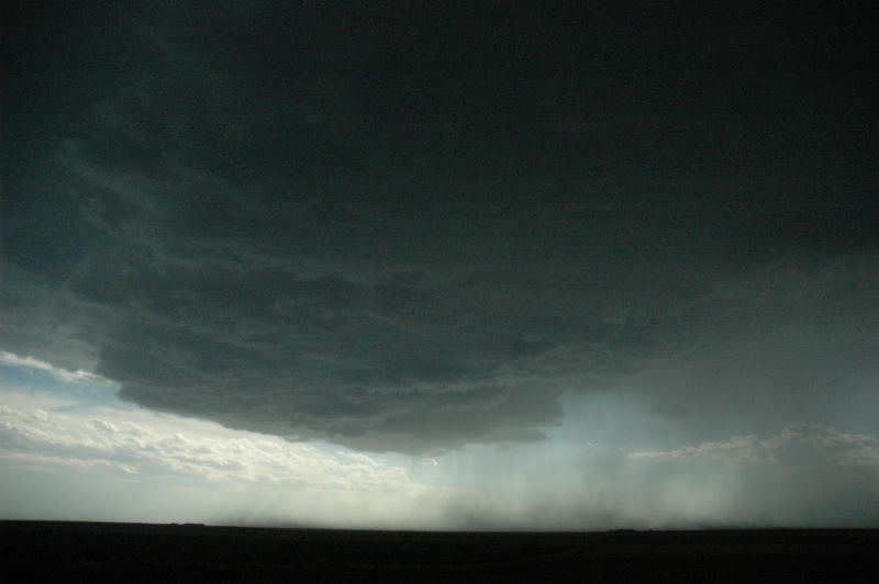
Strong storm emerges from the grunge. It had produced a nice wall cloud a few minutes before this picture was taken.
The last day of the tour probably produced the least frustrating chase (beside the first day, when our expectations also were low). We had driven to North Platte, Nebraska the evening before and did not have to drive too far to see a decent storm. The storm developed in Yuma County, Colorado and soon became supercellular. However, as soon as we moved to intercept the storm, it weakened, leaving us only a view of high bases, virga, light rain, and some scattered areas of more intense rain. However, we continued southeast because there was no other game in town, and soon, a supercell appeared out of the disorganized storms around us. We followed this supercell for several hours as it moved southeastward, dropping a fair bit of hail (unfortunately) on crops near Goodland, KS. Near sunset, the storm developed a very photogenic, circular updraft base. This base became somewhat spaceship-like at sunset as the storm began to weaken.
Strong storm emerges from the grunge. It had produced a nice wall cloud a few minutes before this picture was taken.
Looking north at the less organized storms we had just encountered.
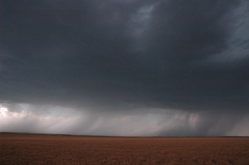
Storm becomes more supercellular near the KS/CO/NE border.
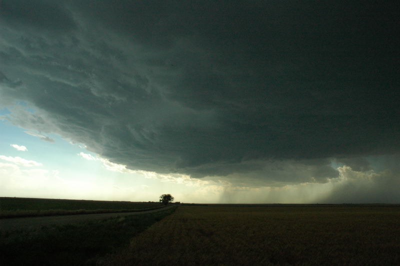
RFD surges kicked up dust on the southern flank of the storm (see left).
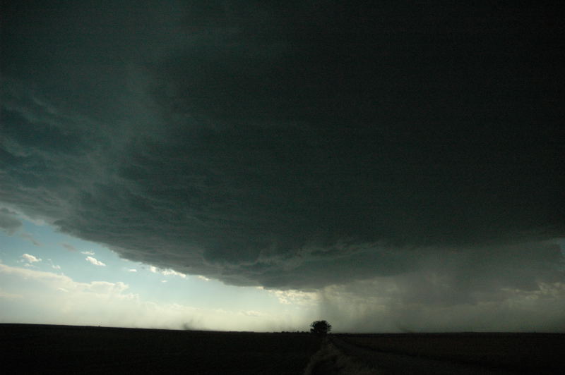
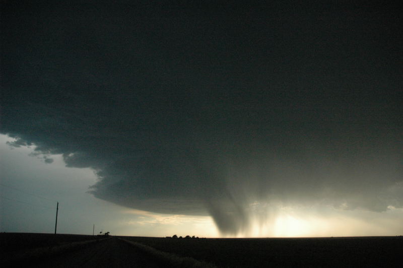
As we approached Goodland, the updraft base developed somewhat of a more linear appearance. We almost called it
a day at this point.
Southeast of Goodland, the structure improved again.
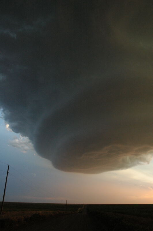
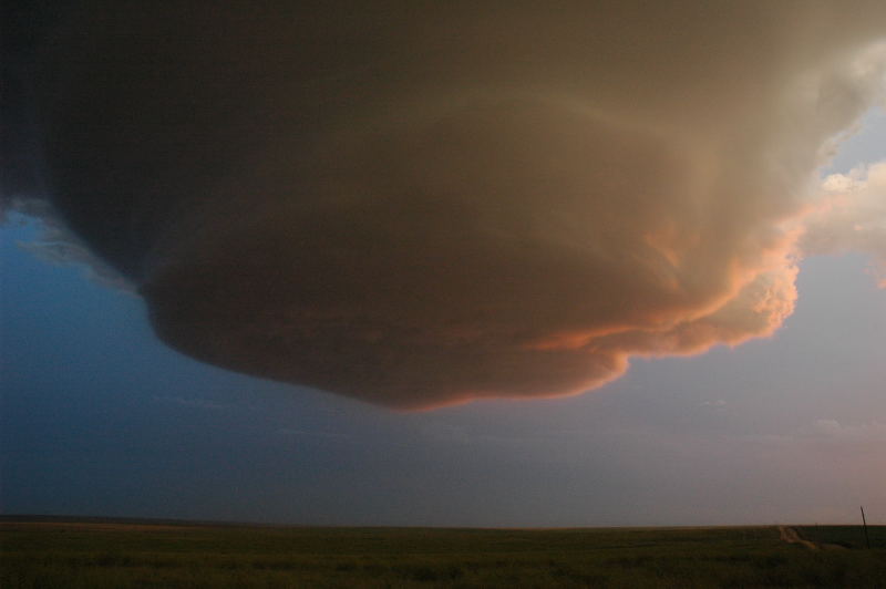
A more circular, solid updraft base with a swirl in it.
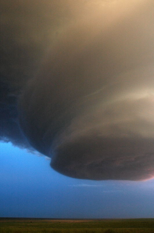
The updraft base becomes a bit more banded.
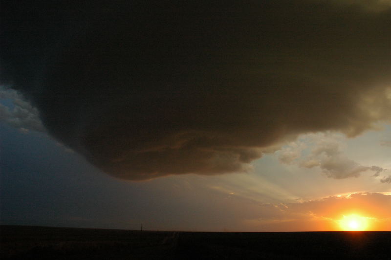
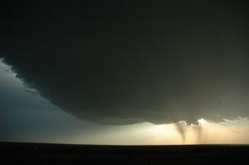
Sunset under the updraft.
Setting sun illuminates the underside of the updraft.
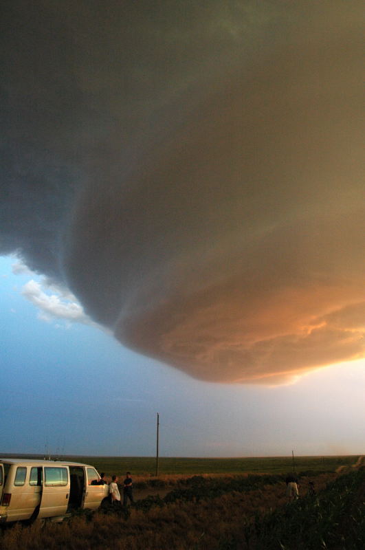
Spaceship overhead.
A somewhat surreal experience.