After a somewhat disappointing late afternoon chase the previous day (the LP storm at noon was good, though), we began the new day in Fargo with the same larger scale trough affecting the region for a second day. The shear was slightly weaker, but there was more shear in the low levels, more turning, and the cloud bases were much lower, raising the prospects for small tornadoes in southeastern North Dakota and adjacent portions of Minnesota.
We bumbled through Fargo a bit (missing turns due to my worry over a small MCV entering southwestern Minnesota), but we eventually found I-29 and started south. A mesoscale convective vortex (MCV) was entering southwestern Minnesota and was potentially about to ruin my forecast. In the past, these MCVs have provided the main show for tornadoes, and later on this summer they would, once again. Today, however, its timing was a little to early for it to arrive over the sweet spot (south central Minnesota north of Mankato) during peak heating. Thus, I decided to stick to the original target of southeastern North Dakota. This MCV did not produce tornadoes, but it was close. One storm had a nice circulation for several volume scans.
We grabbed an early lunch in Wahpeton and meandered west, wanting to get on initial development as quickly as possible. The morning's rain was still moving away to the east, so it was a rather small window of opportunity for the sun to come out and destabilize the atmosphere. I picked the best zone between where the clouds were still fairly thick (and the winds more easterly, but the clouds were too stratiform) and sunnier skies to the south where thinks looked a bit more convective. Over the next hour, small cells began to develop, and we got on them as quickly as we could, thinking tornadoes could develop early with miniature supercells.
For about an hour or two, we went after some small bits of storm structure, and maybe a wall cloud or two, but we saw no interesting motion at cloud base. Eventually, however, we found one with a more pronounced wall cloud and some nice rotation near Leonard. I thought it might produce a tornado for us at pretty close range, with a nice tail cloud wrapping in behind the wall cloud, but as quickly as the rotation developed, the whole area essentially dissipated, and the storm became much less interesting. There was another larger cell to the southwest, so we dropped back in that direction. After some chase, I thought it was looking pretty lackluster, so we turned north to find other storms in that direction. After a couple miles of that, the southern storm suddenly looked really interesting on radar (nice velocity couplet), so we turned around to investigate.
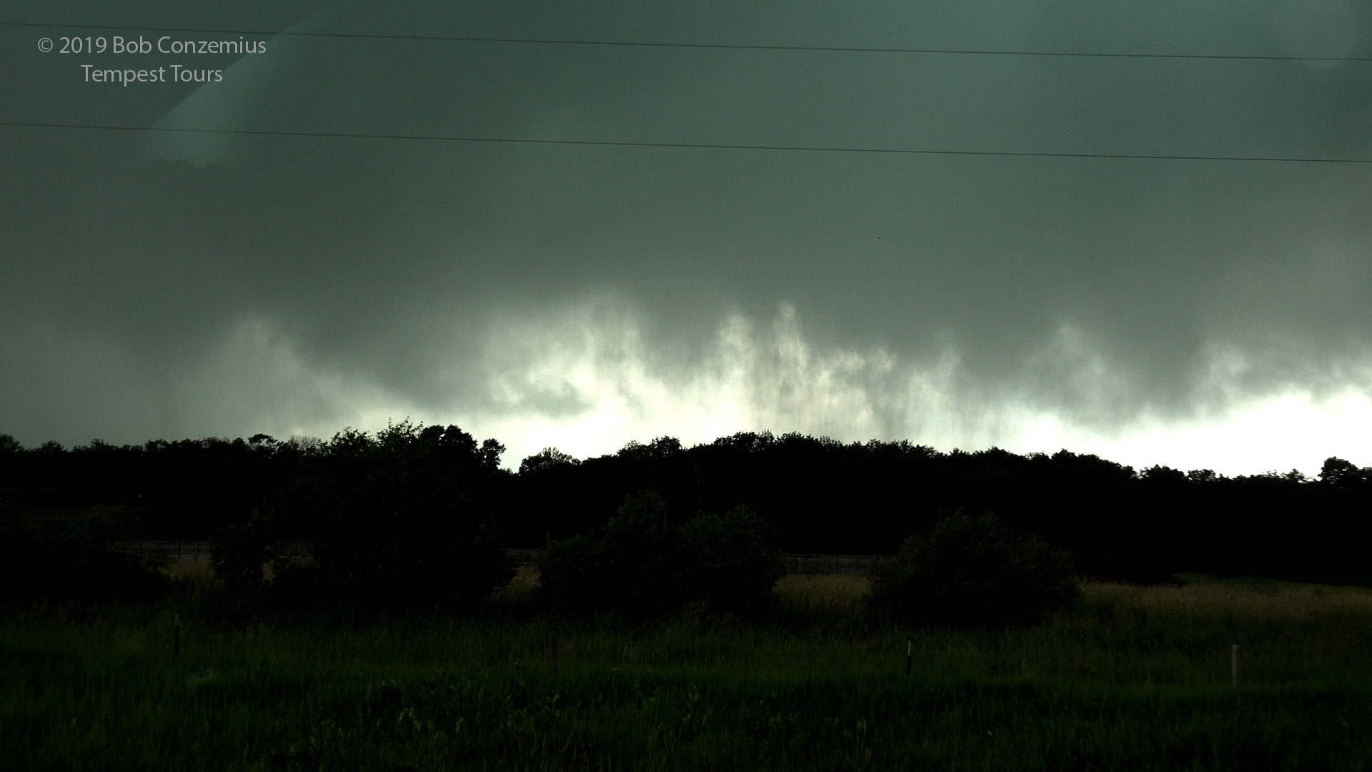
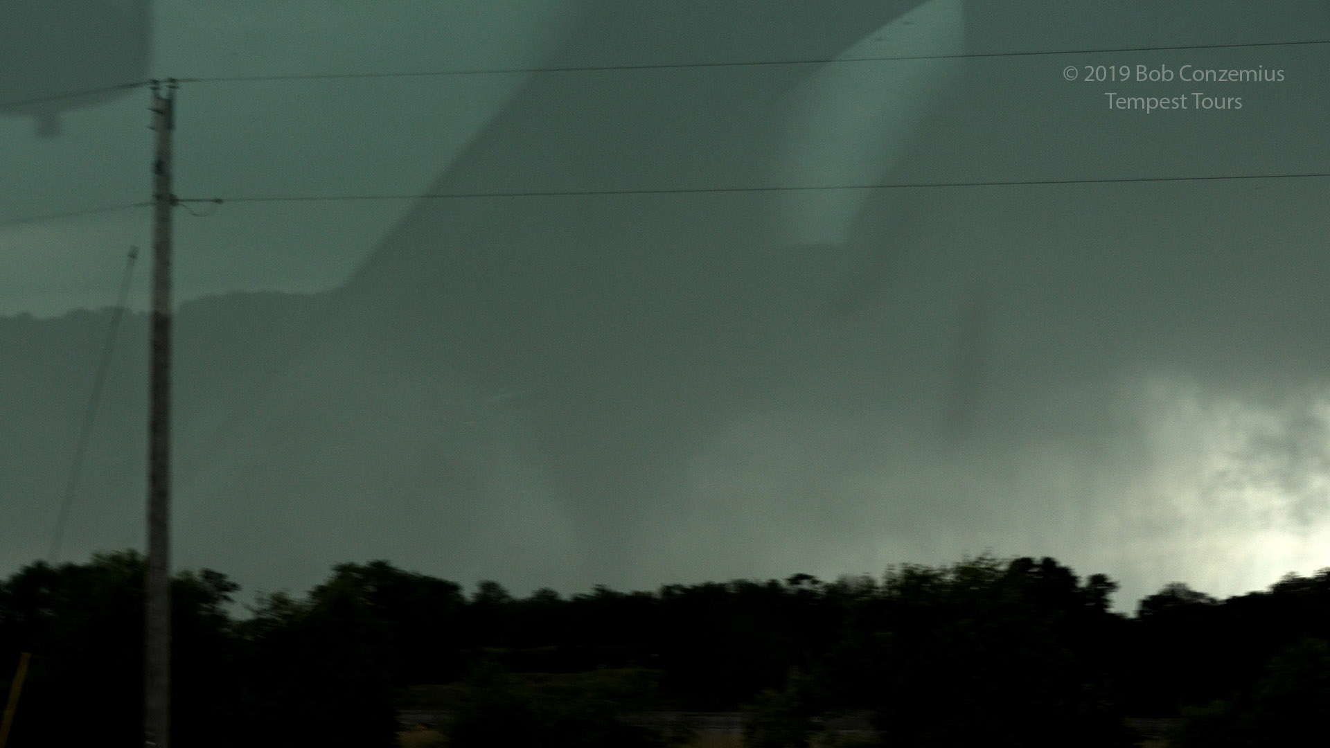
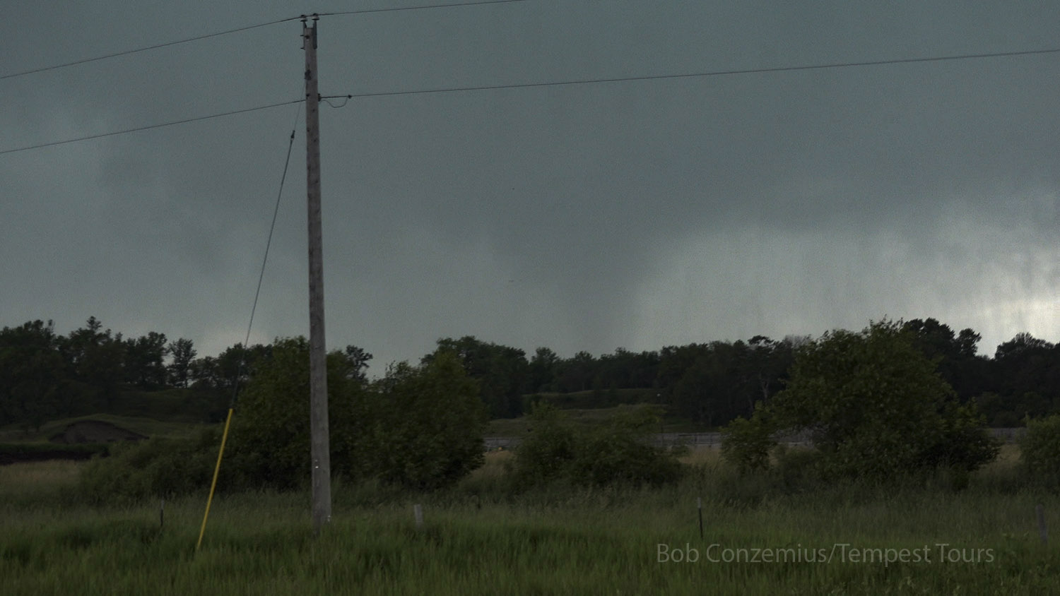
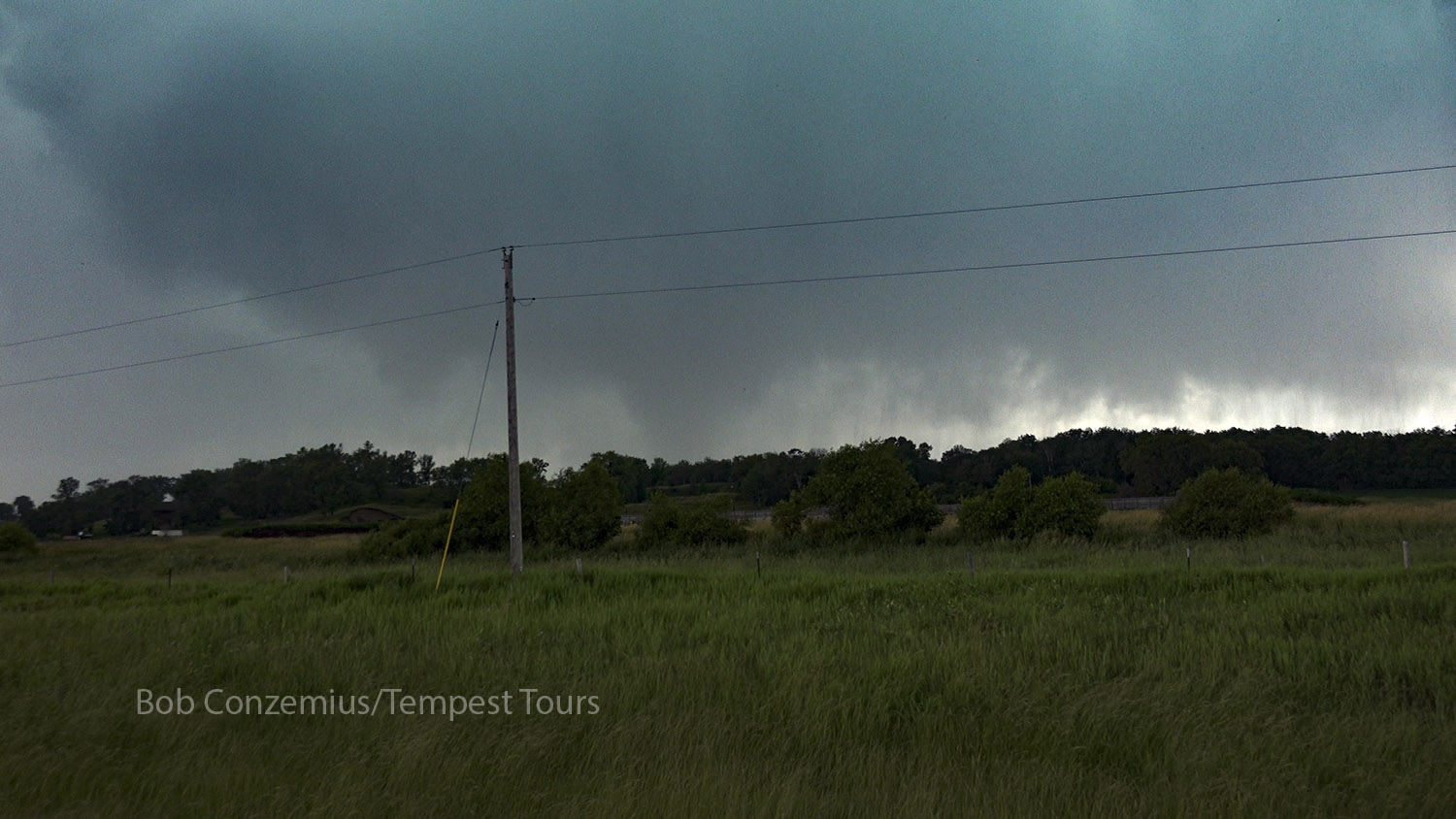
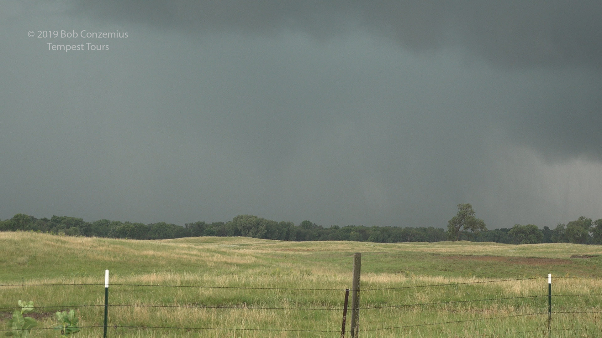
We drove south on County Road 18 and soon found a decent base with rotation that gradually intensified over the next ten minutes. We stopped at about three different locations to get closer to the action area. Bases were low, so we had to be fairly close to see things. We stopped at a location just north of County Road 2 (in the Sheyenne River Valley), and the rotation really intensified. Rain curtains wrapped in fairly quickly, partially obscuring our view, but within the rain, we were able to make out a cone tornado that lasted maybe a minute or so before the circulation weakened and broadened a bit. We moved east on County Road 2 and stopped as soon as we had decend visibility to the west. We saw a small tornado embedded in the rain there. We moved east a second time, but by the time we got ahead of the storm, the tornado had dissipated.
Rotation is intensifying here.
Tornado appears in the rain. At first, I thought it was a reflection in the window.
Tornado.
Tornado.
This is about the best it looked.
The tornado is BARELY visible in the rain at this location, a couple miles east.
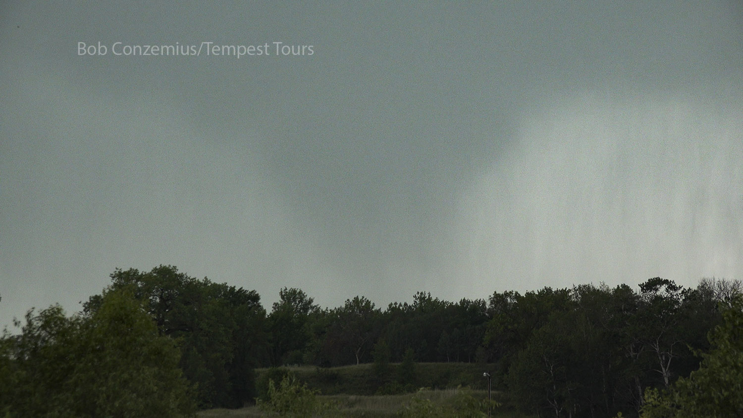
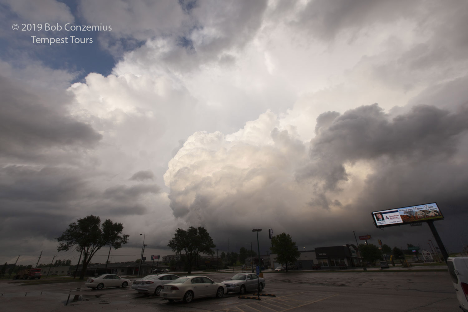
We looked for new areas of rotation with the storm and saw some interesting cloud features a bit farther north, but then I saw radar, and the next cells to the south were looking much more discrete, and there were tornado warnings issued for those cells. In retrospect, I think we could have done well to stay with our original storm. It took a fair bit of time to get on the next cells to the south, and once we did, they weren't terribly impressive. We were in Minnesota now, and we stopped at Fergus Falls to eat dinner and find a hotel. While we did this, another cell intensified just to our east and had a nice couplet on radar. We gave chase, and saw another wall cloud or two, but we found no further tornadoes. We drove back to our hotel in Fergus Falls for the night.
Storm developing near Fergus Falls.
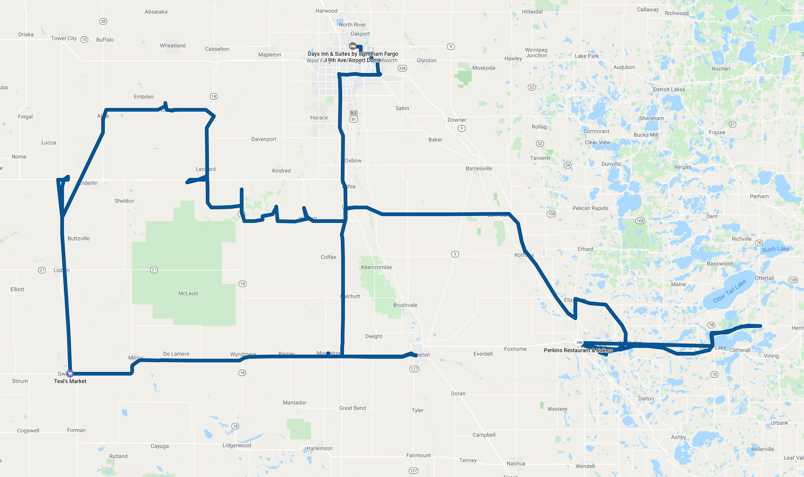
Our approximate route for the day. About 364 miles.