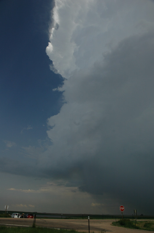
Northern end of a thunderstorm near Sterling, CO.
We (the Tempest group) started from Hays, KS with a target in the Nebraska panhandle. As we came into Nebraska, a cluster of storms developed in northeastern Colorado, so we decided to play with those for a while. On the way, we were able to see some very brief dust spinups-- small vortices that were probably a bit too weak to be classified as tornadoes, but able to raise a dust column nonetheless. Unfortunately, I was driving one of the vans and was unable to snap any pictures. We did stop later on to get some pictures and videos of the storms.
We soon left the Colorado storms and proceeded to a newer, more isolated storm near Cappell, NE. When we were about 20 miles away, it produced a slender, S-shaped tornado with a tall dust column rising from the ground and a narrow funnel visible above. Again, I was driving, and we were dipping in and out of valleys and ravines, making it difficult to get a good shot. The storm dissipated about an hour later, and we continued northward to another LP (low-precipitation) storm west of Hyannis, NE. This storm featured a flanged base, but it dissipated before we could get a good, high-contrast view of it. We ended the day by driving to Kadoka, SD for the next day's chase, which was essentially a bust.
Northern end of a thunderstorm near Sterling, CO.
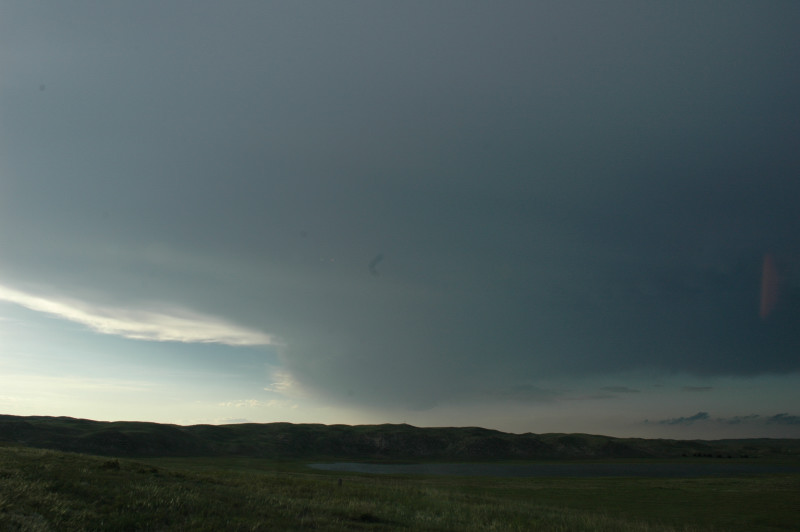
Dissipating LP storm in the Sand Hills of Nebraska.