Cresco-New Hampton-Postville, IA - August 12, 1999
Rory Groves and I headed southeast from the Twin Cities on U.S. 52, as
northeast Iowa looked to be the best spot for severe storm development within driving
range. 0-1 km helicity was impressive, but there was a substantial cap to overcome.
Eventually, storms did fire immediately to our southwest, but things were really
mushy looking for a while. Apparently, the lapse rate really wasn't very steep
(almost as poor as moist adiabatic above 700 mb).
 |
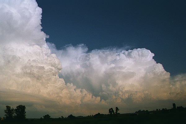
| Storm to our east from our perspective in New Hampton,
Iowa. |
 |
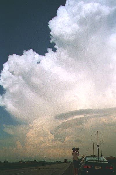
| This picture taken by Rory Groves. Backlit
storms at sunset. Storm to the left becomes severe-warned, producing 3/4" hail. |
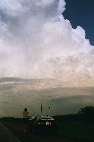 |
| Rory also took this picture of me filming the storm
just east of New Hampton. |
 |
| Another picture by Rory. |
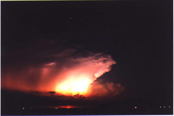 |
| Later on, the storms produce a great lightning show
after dark. |
Old Storm Chases | All Storm Chases | Weather Links | Home