Sauk Centre to Royalton Storm - July 25, 1999
Rory Groves and I headed northwest on I-94, then west on MN Hwy. 28 from
Sauk Centre toward some storms that were coming out of South Dakota. As we
approached, the storms weakened and lifted off to the northeast. I thought the chase
was over, but we stayed with the wind shift line as it moved east, and we were rewarded.
|
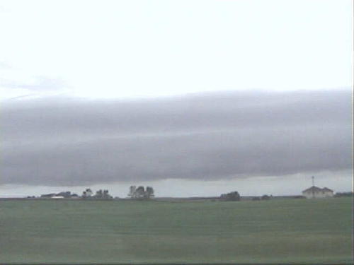
| Stratiform roll cloud marks outflow boundary from
previous convection, which has passed off to the northeast.
Since things are looking stratiform, my hopes are not
high at this point. Even just ahead (southeast) of this feature, winds are light
westerly. |
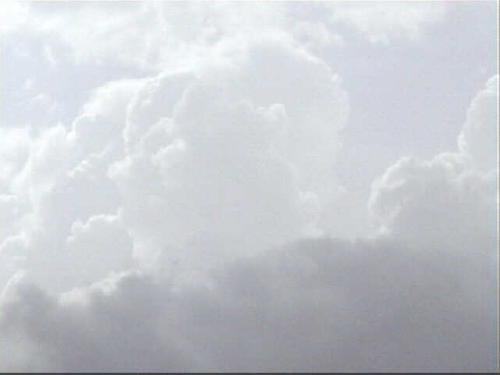 |
| Gradually, the roll cloud becomes more cumuloform in
nature. Then, suddenly, towers spring forth from it. |
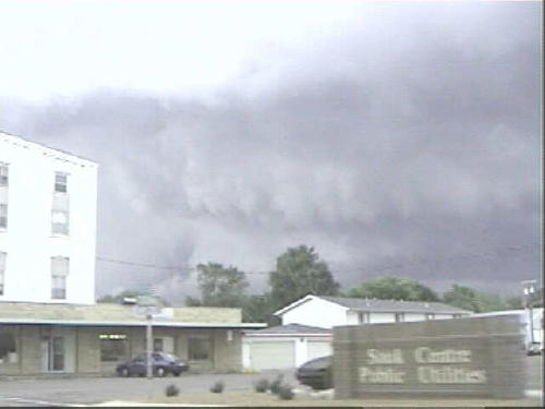 |
| Poor road options, towns, and construction get us
behind the storm, but we can see it taking on more supercellular characteristics.
Here, the precip core is off to the left, behind the white building. Updraft
base is lower right, and RFD is coming in from overhead. |
Old Storm Chases | All Storm Chases | Weather Links | Home