July 22, 2012 Itasca County Storms
I was returning home from a weekend in the Twin Cities when a strong thunderstorm developed in Itasca County. The storm moved into St. Louis County, where a tornado warning was issued based on radar rotation. As I was driving north, I got a look at the distant anvil of the storm and snapped a couple pictures from McGregor. The storms were not moving very fast, and it appeared I could get a good look at this storm or others that were building on its southwest flank.
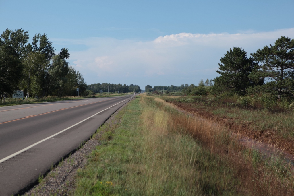 |
| Distant storm in western St. Louis County viewed from McGregor. |
Alas, I was not to intercept a severe storm that day. Seeing new storms developing west of Grand Rapids, I decided to drive west on 2 to investigate them as they developed, but they never became strong. The positive side of this lack of strength was the fact that the updrafts were rather narrow, and the storms, although somewhat numerous, had an isolated look about them, providing some nice photo opportunities as the sun set.
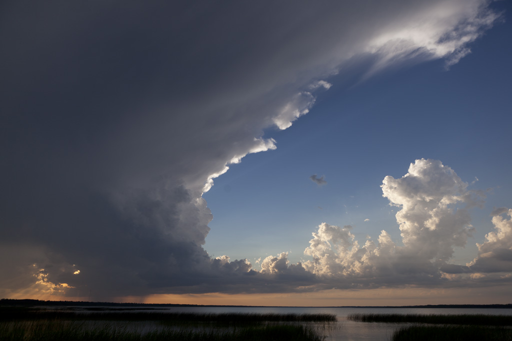 |
| A new storm develops northwest of Ball Club Lake. |
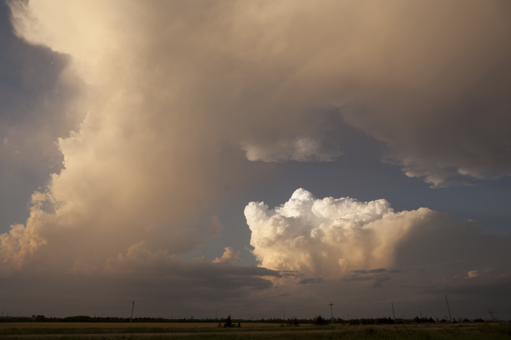 |
| The Ball Club Lake storm dissipates as a new updraft develops farther northeast. |
 |
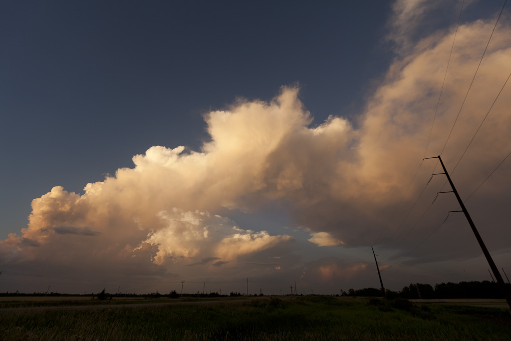
| I walked across the road to get a better foreground in this image. |
 |
| Further dissipation. |
Back to Storm Chases | Home