July 6, 2023 Supercell
Lamar, Colorado
We started the day on Colorado City on I-25. For the second day in a row, I went on a morning run. After breakfast, I gave the daily weather briefing, and we got on I-25 headed northbound. Our plan was to get up to the Limon area where storms would initiate, and we would have a pretty decent chase because the risk was a bit higher. The convection-allowing models showed the biggest storms firing a little later today, but otherwise it looked to be a pretty nice supercell day.
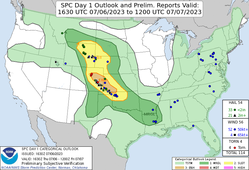 |
|---|
| The SPC Day 1 outlook and storm reports. |
We stopped in Colorado Springs to have lunch. Because there were many options available, and to suit the needs of various guests on the tour, we decided to split up again. I went to a healthy/vegan place farther north in town, and Craig took the rest of the group in the van and ate at a different (Japanese?) restaurant. Because my group finished eating first, we walked to the other restaurant while the other group at their meals. After lunch we departed Colorado Springs to the northeast, intending to get to where storms were forecast to initiate around or east of Limon.
Well, storms initiated much closer to Denver, and they started to produce tornadoes. I had not counted on a Denver Cyclone day, but this was the way things seemed to be evolving. Storm-wise, what I saw on radar was a bit of a mess as there were a lot of storms everywhere, but a couple had intensified quickly and each produced a brief tornado. Now in Limon, I decided to head west to try to at least get close to them, but as we did so, they weakened. By the time we were close to the updraft bases, everything had mostly fallen apart, and just a few rain showers remained. This was a bit frustrating. It was getting late in the day, and it was supposed to be a good supercell day, but development was going in the opposite direction of what we anticipated.
There was an outflow boundary to the south, and there were a few cumulus clouds along it, so I directed the van towards that area. This brought us back through Limon around suppertime, so we stopped at our favorite cluster of an exit and had a quick dinner, while we could, before any new storms initiated. It would be a while before we had our next opportunity for a meal. SPC had issued a mesoscale discussion for new development along the boundary we were targeting. We left Limon and continued south toward the boundary.
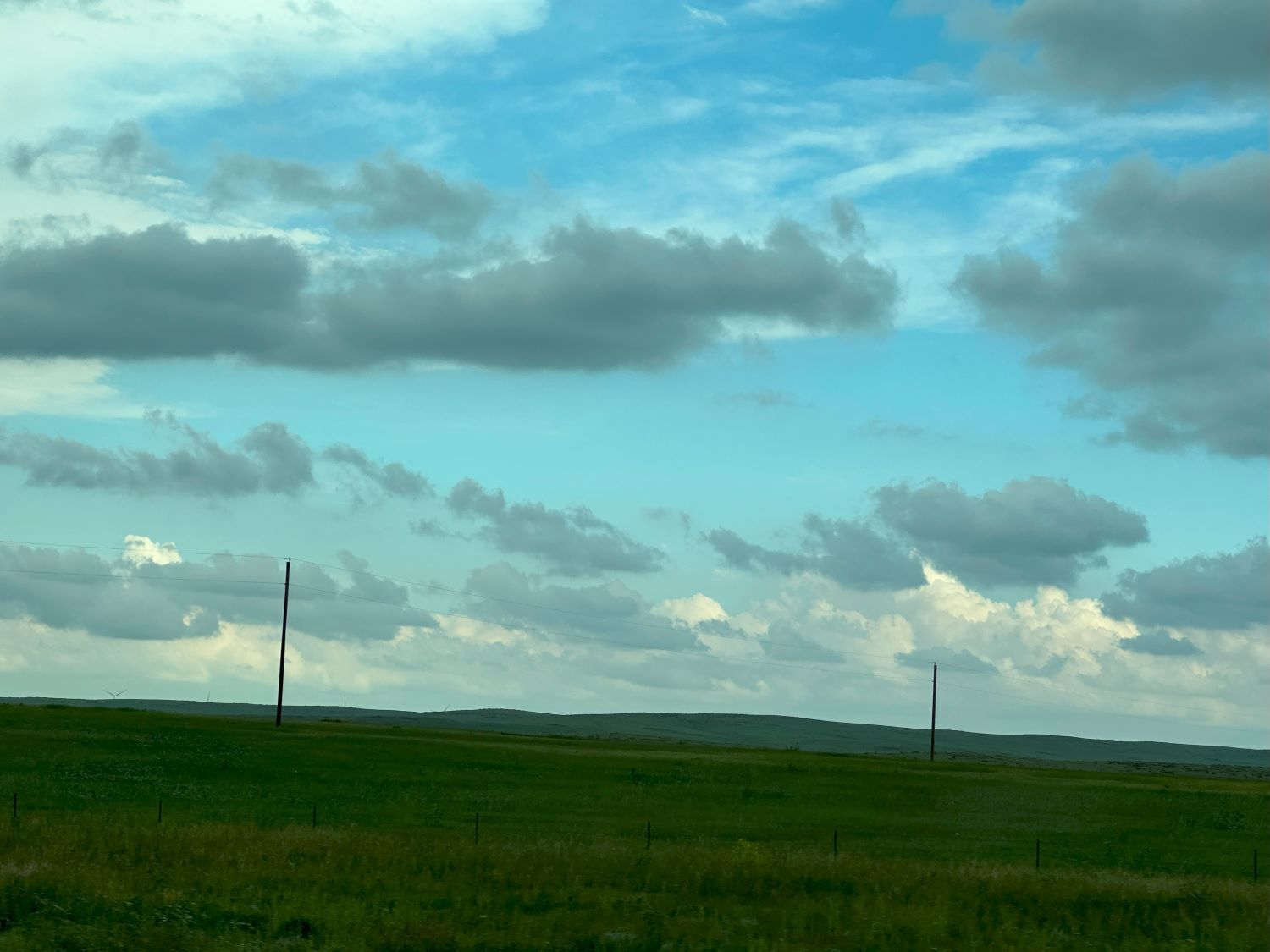 |
|---|
| Some new cumulus developing to the south along the boundary. |
 |
|---|
| Radar image of the old storms behind as we start for the new cumulus field to the south. |
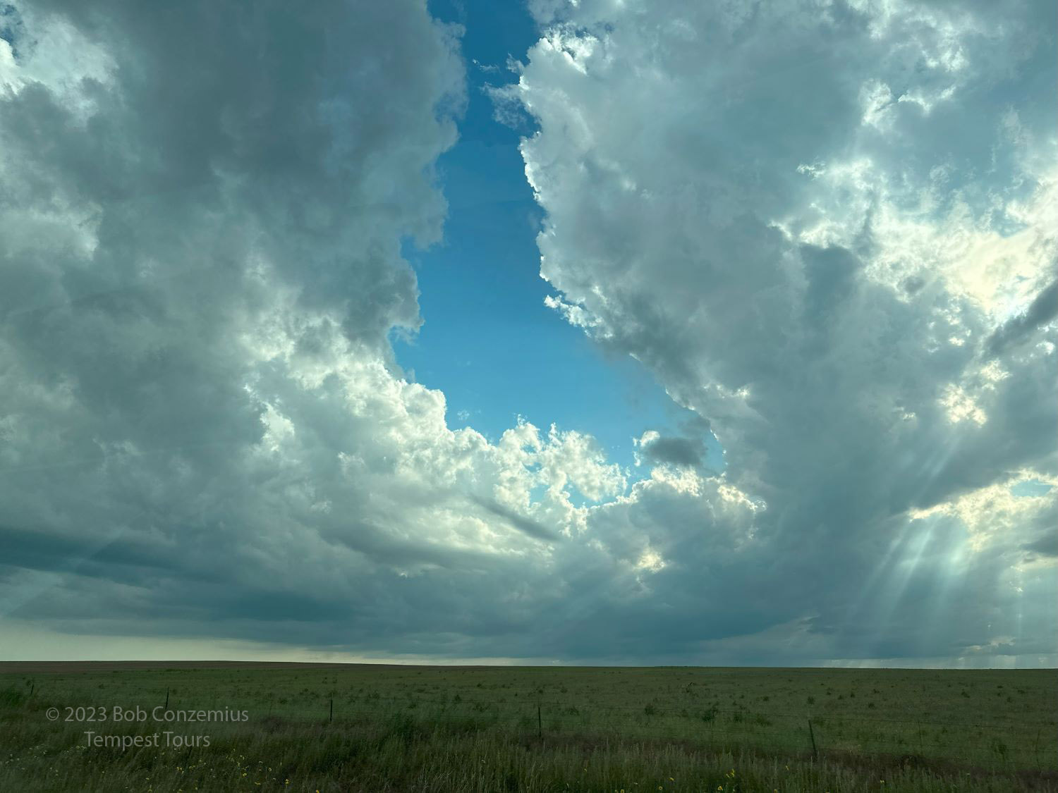
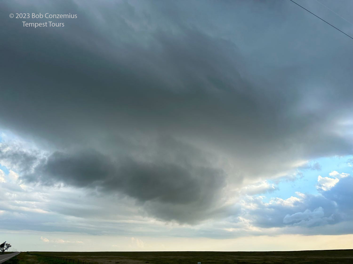
Gradually, these updrafts got larger, and we were looking at a few interesting low-level features with them. Secretly, I was hoping the north side of the boundary was not too cold for tornado-producing thunderstorms because the wind shear was pretty good. The lowest levels, however, had a relatively stratiform look to them. This made for some interesting wall-cloud type features at the bases of a couple of the towering cumulus.
 |
|---|
| The newer cumulus field growing as we drive south into it. |
 |
|---|
| The updraft closest to us had a little bit of a wall cloud. |
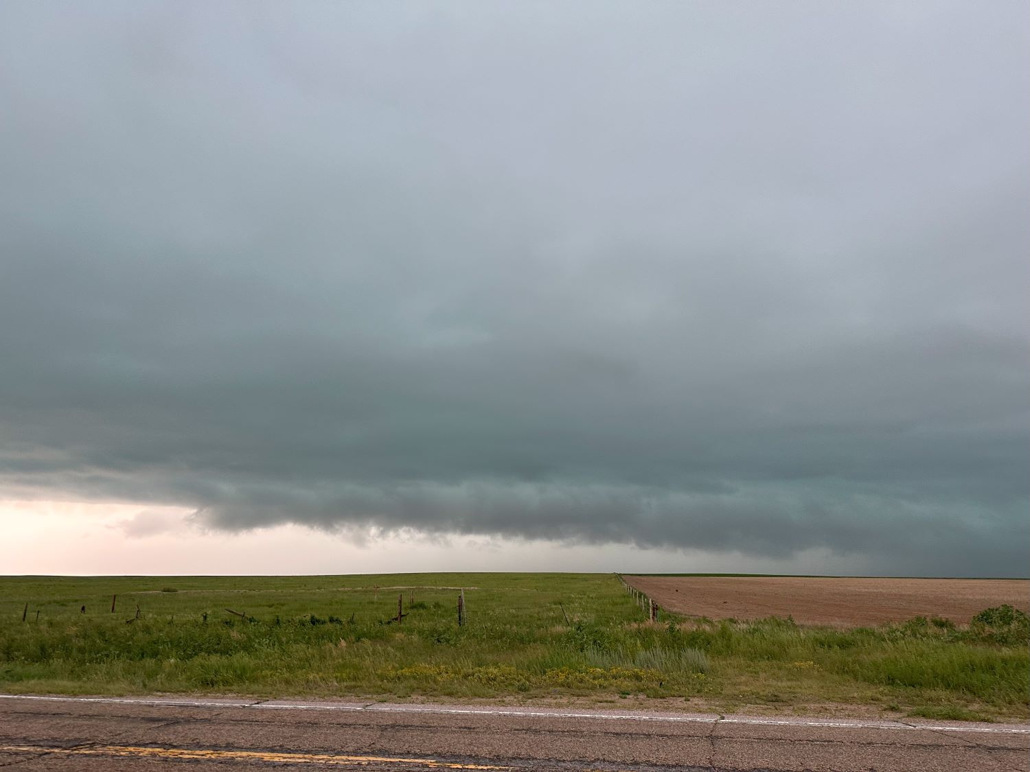
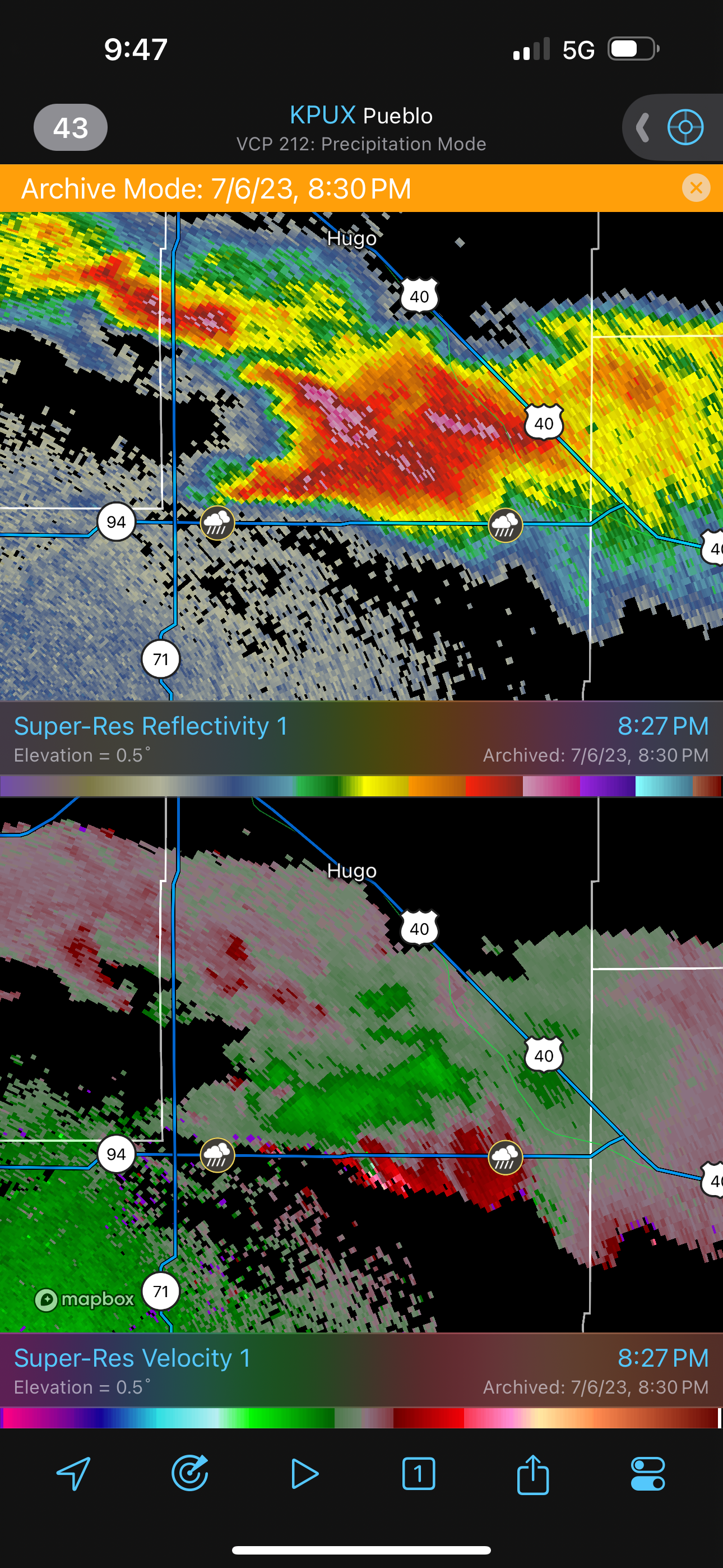
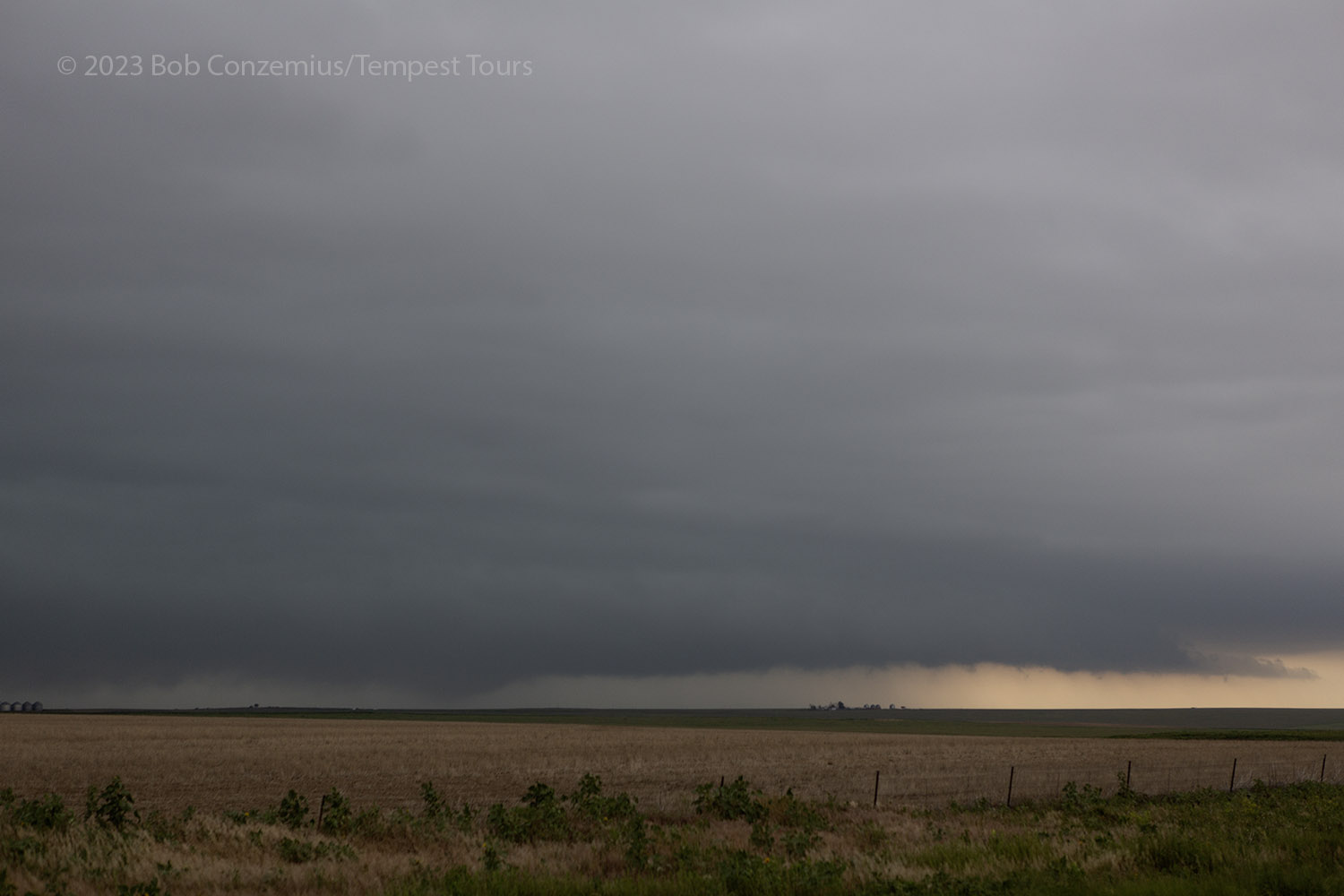
We stayed put around Punkin Center while numerous small cells developed around us and to our north. We were waiting for a dominant storm to emerge. Once that happened, we drove a little back north to Punkin Center and then east on Highway 94. There were quite a few other chasers around, but the traffic wasn't horrendous. The dominant storm was developing just north of the highway, which was really convenient for us. We could get close to the updraft base. It was also moving pretty slowly, at least initially. The bad news was that the sky was filling in with low stratus, and there wasn't much structure to be seen. It was also late enough to be getting dark.
 |
|---|
| Our main storm had a somewhat low, featureless base. |
 |
|---|
| The base was pretty low, but there wasn't any mid-level structure visible. |
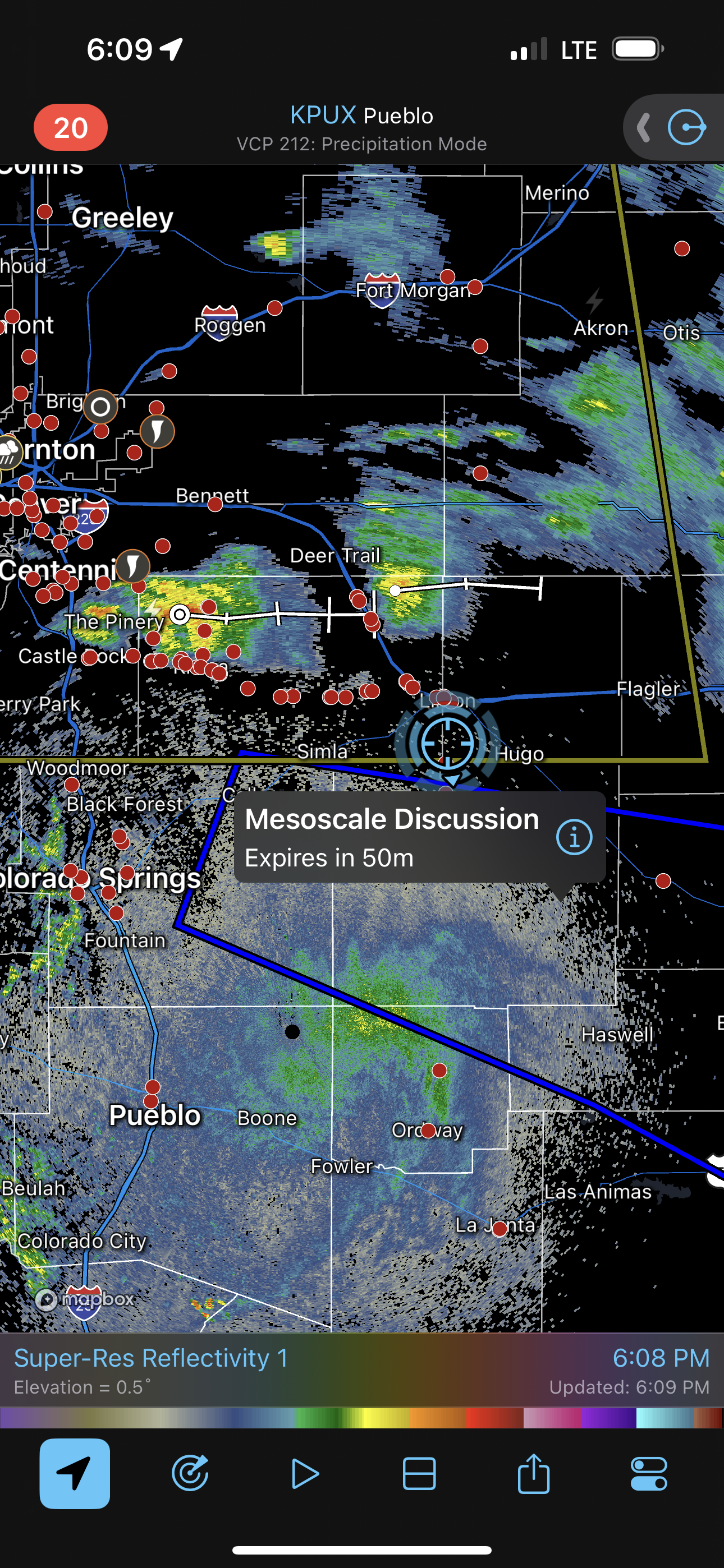
 |
|---|
| The storm looked like this on radar. We were on the east-west road where the rainshower icons (rain reports) are shown. |
The storm continued to stay just north of the road, but as it grew, it's hail core became much closer to the road and threatened to cut us off from our east and south options. We hung around as long as we could and monitored the base for any interesting action areas, but we had only a few small lowerings.
 |
|---|
| 15 minutes later, the cell has gotten a little larger and is getting much closer to the road. |
 |
|---|
| Just a little later with my DSLR. Some features are in there, but everything looks a little cold and stratiform. |
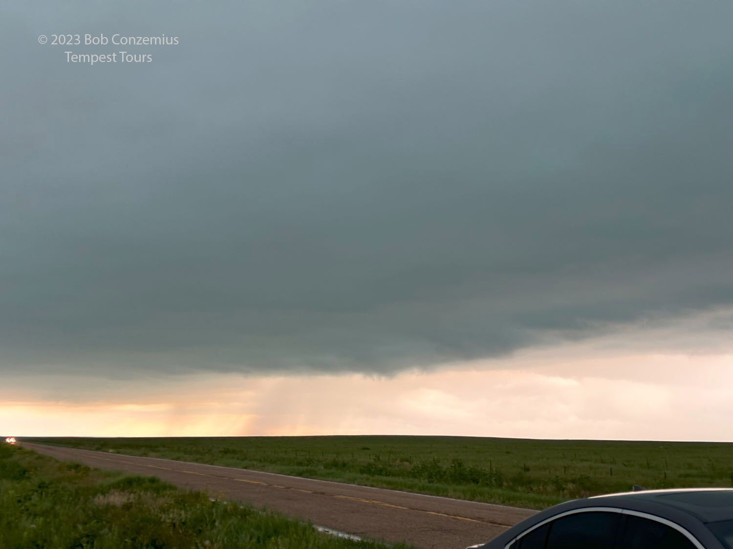
With the storm now growing quickly larger, and lightning frequency picking up quite a bit, I decided we needed to make a run for our east and south options. The map showed some directly southbound roads, which would have been pretty nice to take, but I decided we should stay off them if they were not paved. During our July high plains tours, our experience with non-paved roads was not that good. Much of the time was spent just barely staying ahead of large hail as the road permitted us to travel, at best, 30 mph. Earlier this afternoon, the non-paved road we chose was pretty rough as well. I did not want to repeat that, so when we got to our most direct southbound option, and I saw that it was a dirt road, we kept going east to Kit Carson.
This decision would require a long drive of at least an hour to get back into position. Because the storm was growing rapidly, we did not exit the heavy rain core as we made our way to Aroya. In fact, the rain got a little heavier, but soon, we would be turning more directly south. We got to Kit Carson, turned south, and were able to get out of the rain. Meanwhile, the stratus deck continued to fill in. Usually, if we clear the rain area, we can see the updraft base to the west, but the stratus deck prevented us from seeing that. Instead, we could see only frequent, dim flashes to our west.
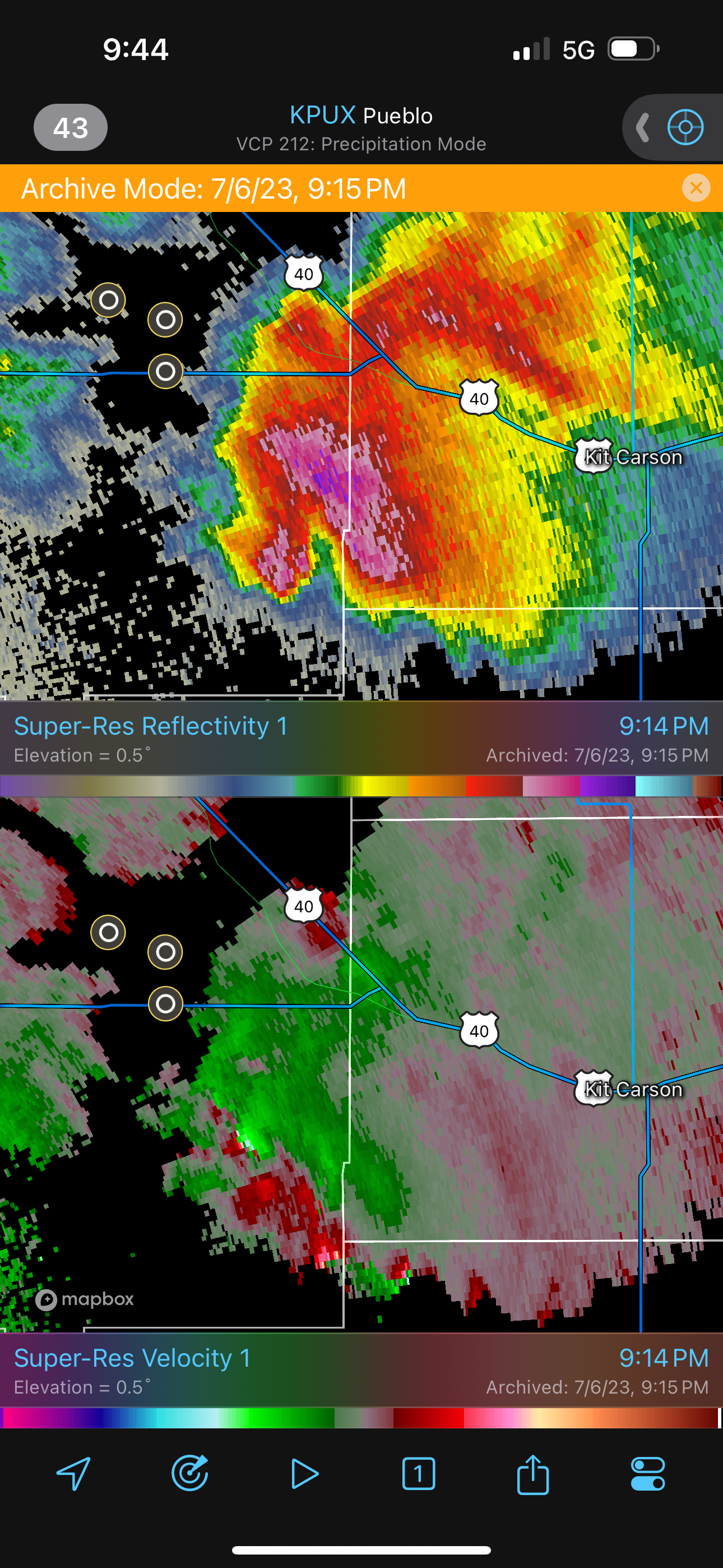 |
|---|
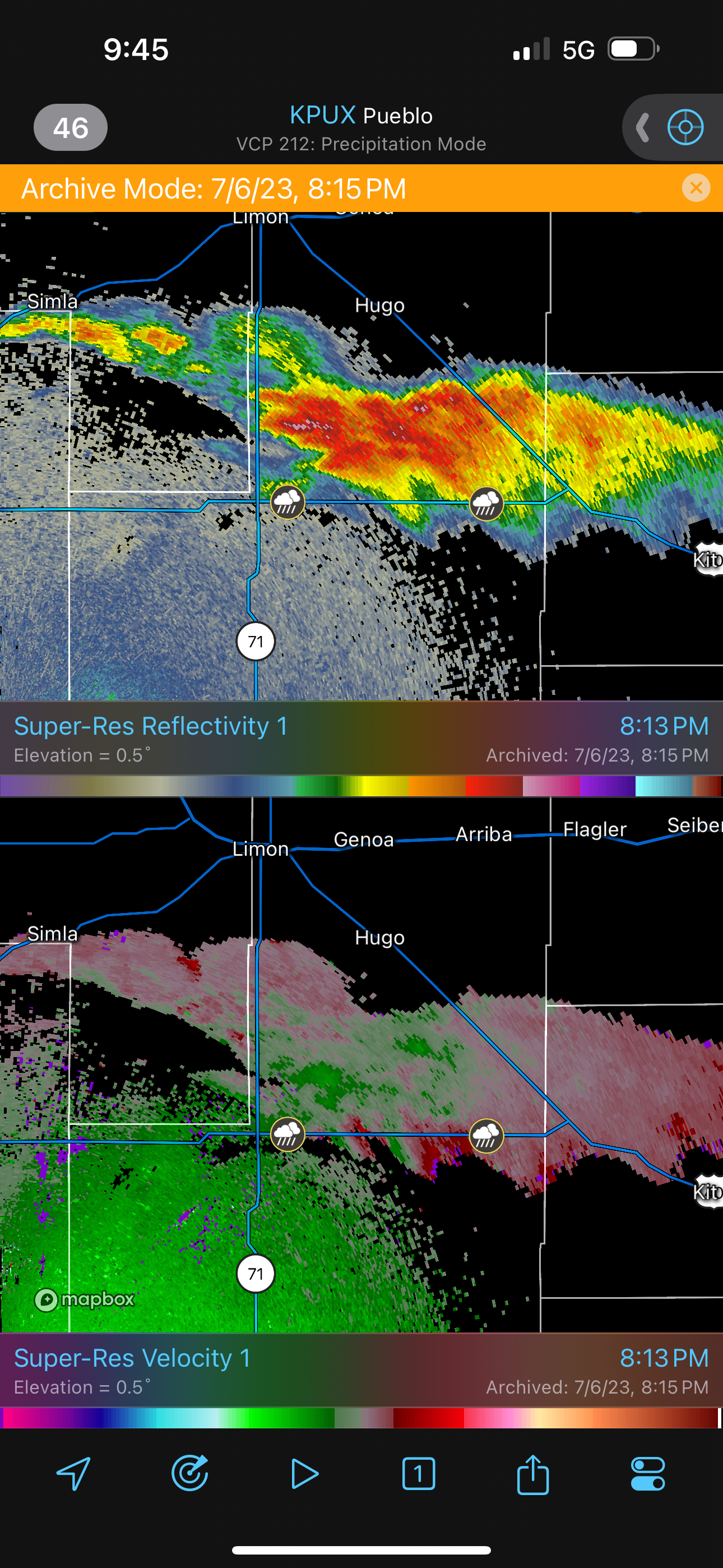
| Radar image. This storm was a beast! |
I was hoping that, if we kept going south, we'd get south of the warm front, and the stratus deck would clear. If so, we'd get a great nighttime view of this beast of a supercell, and the guests would see an incredible display of anvil zits, crawlers, and cloud-to-ground strikes. Occasionally, we would have a sliver of an opening in the stratus deck, and we could make out an occasional cumuloform feature above, but the stratus persisted as we came around to the southeast.
 |
|---|
| Another radar image. The storm remained a beast! |
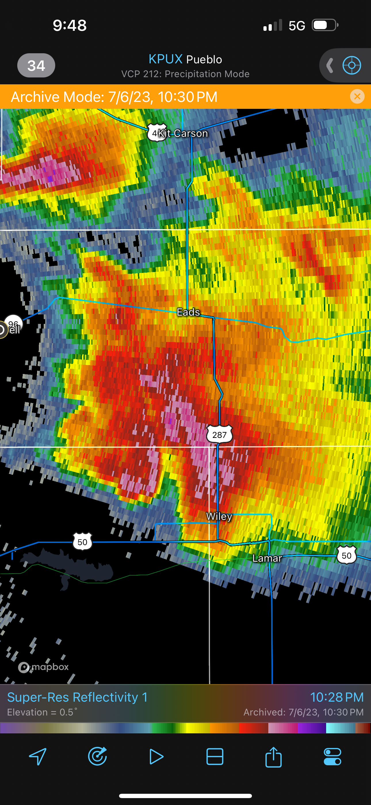
I thought that, maybe, we had to get more directly to the south of the storm. We passed through Eads and were still not far enough south to punch west to the southern or southwestern flank of the storm, so we continued on to Lamar. There, we could finally get west in front if it. We turned onto U.S. 50, but the stratus were stubborn, and the sky never cleared more than about 30 percent. I decided to finally stop at a relatively safe location, on the southwestern flank, where we would not be threatened by large hail, and try to see any structure from there. It really wasn't much. We could see a few small CG segments below the low, stratiform overcast. Meanwhile, in Lamar, some chasers had a bit better luck, and the sky cleared for a couple minutes to reveal a nice, barrel updraft. This view was followed by some golfball or ping-pong ball size hail.
We had rooms in Springfield, but with the core of the storm in our way, we decided to proceed west to Las Animas and drop south. There, we made up for the gravel option we skipped earlier in the evening. We had about 50 miles of slow driving on a very rough gravel road. We got to our Springfield hotel around 11:30 PM.
All-in-all, it ended up being a great supercell day with no real visibility of supercells.
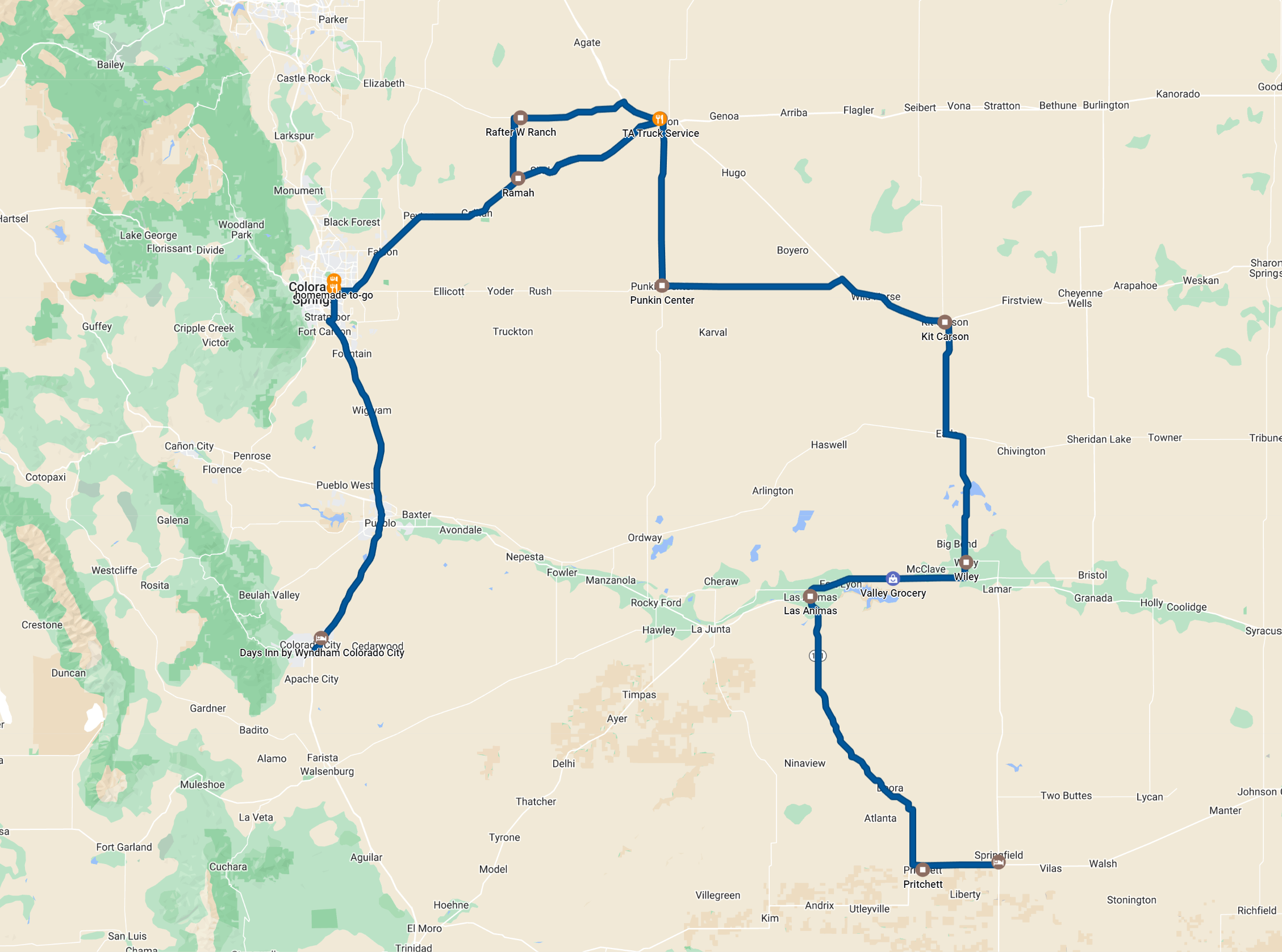 |
|---|
| Route for the day. 402 miles. |
Back to Storm Chases | Home