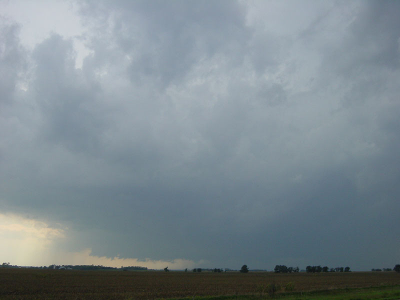
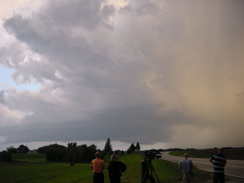
Storm as we first arrived.
Target was near Mitchell, SD
Storm as we first arrived.
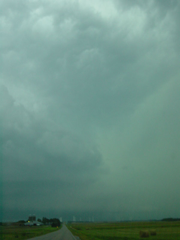
To us, it looks outflow-dominant, but that will soon change.
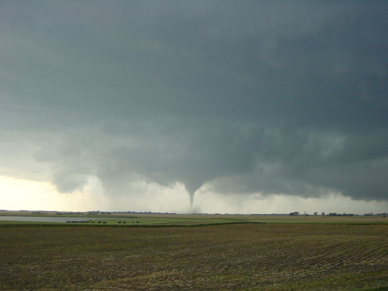
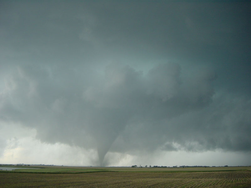
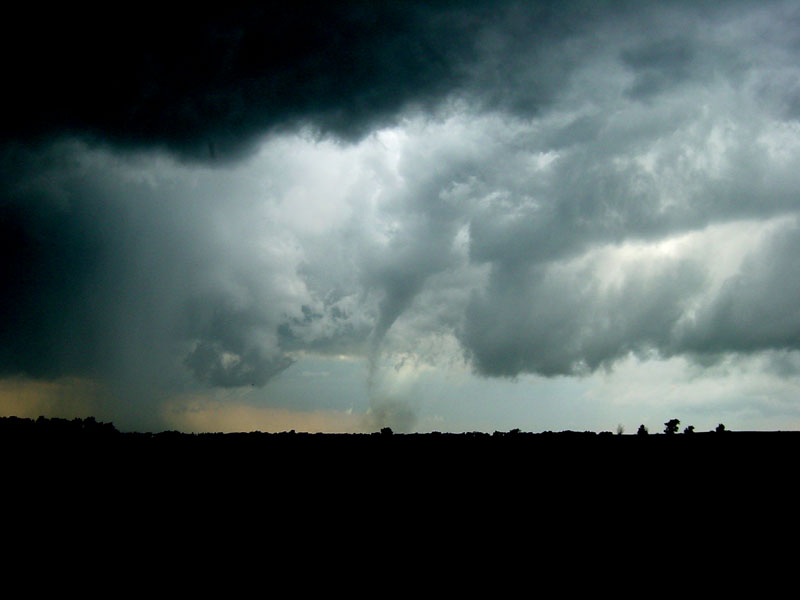
A tornado soon develops as we reach the Canistota exit on I-90.
Tornado gets bigger but is several miles away.
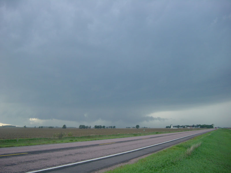
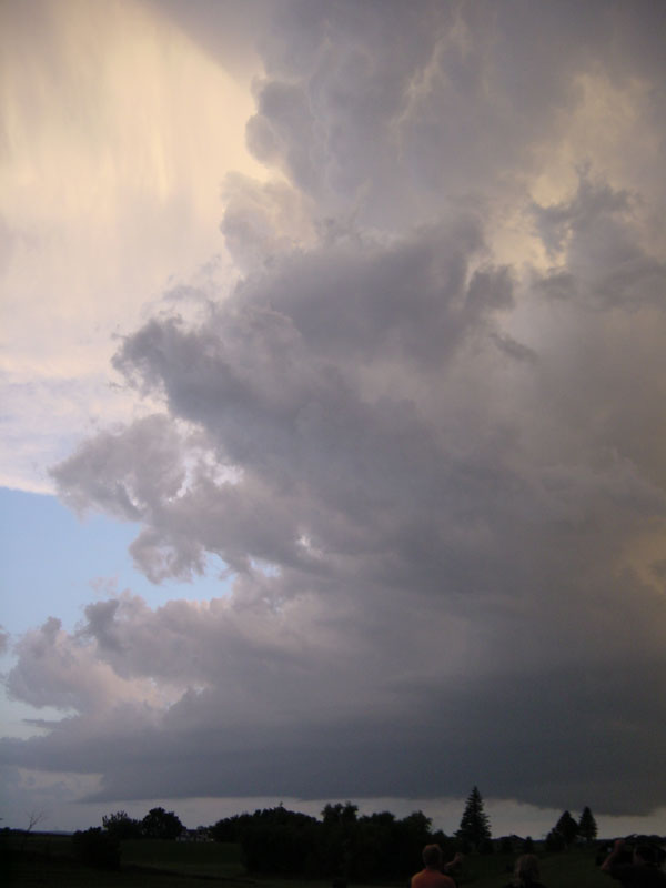
A wider shot showing the storm structure.
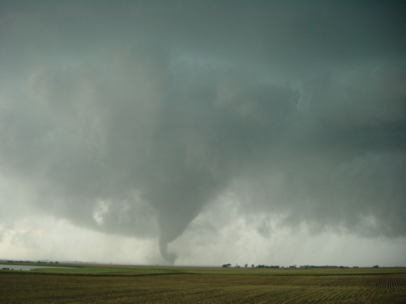
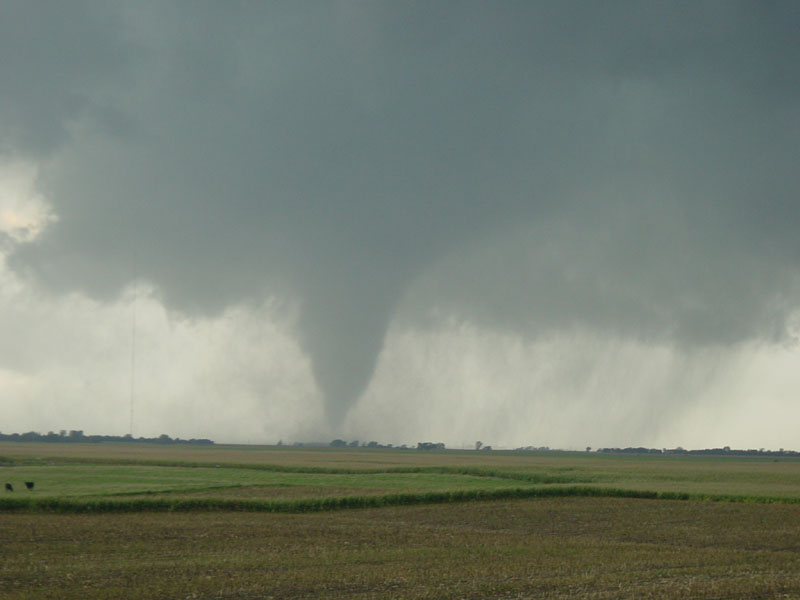
Tornado is having some axisymmetrization issues here.
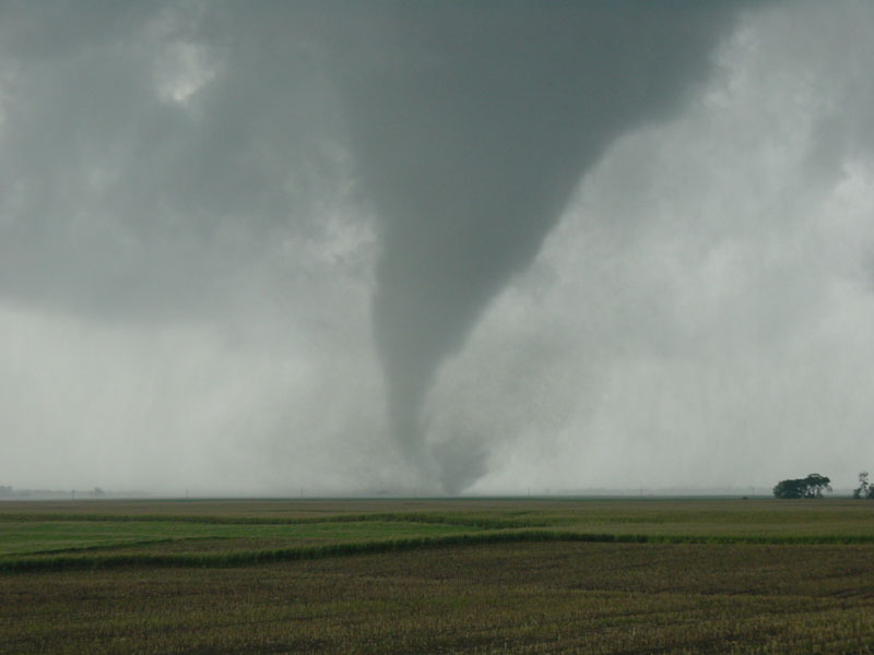
Last shot before we move. Tornado is 1.5 miles southwest of us.
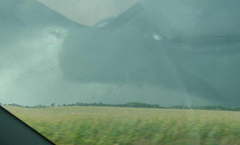
Rope-out phase of the tornado as we head north from I-90.
Second tornado viewed from a mile or two east of Chester, SD.
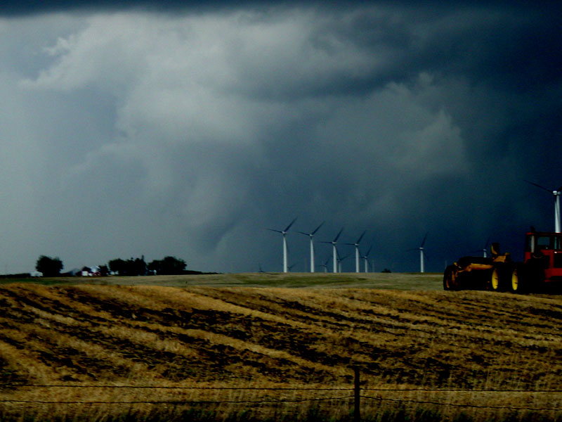
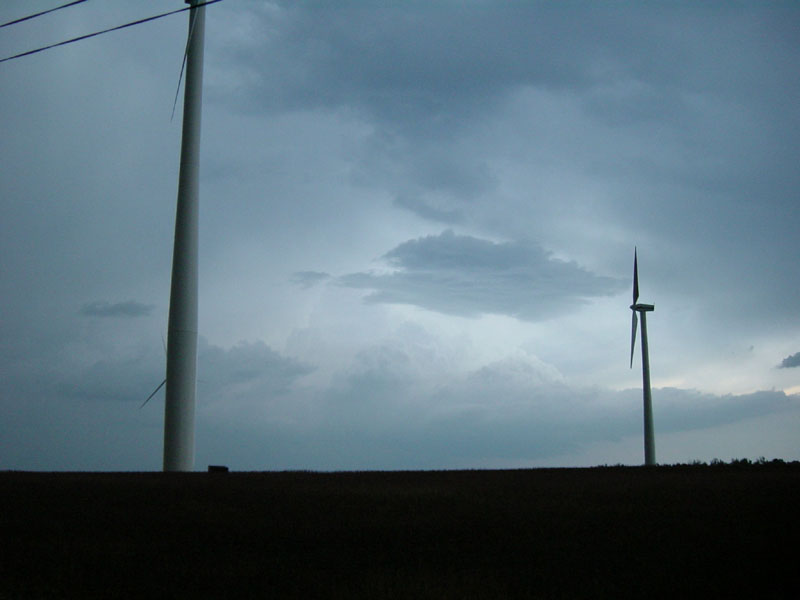
Funnel cloud developing beyond wind farm near Ruthton, MN. Turbines are shut down here, even though there is a steady wind.
Updraft barrel of another supercell near Tyler, MN.
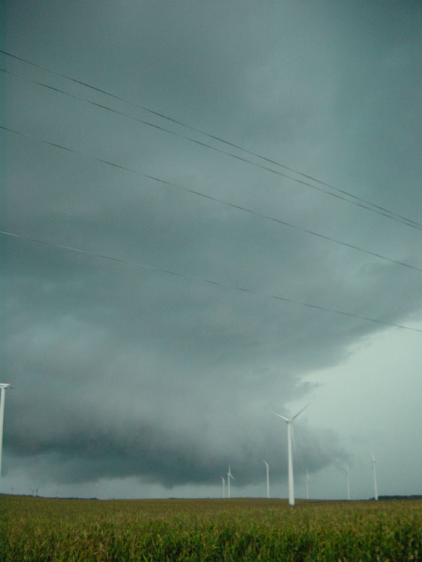
Same storm a few minutes later over the wind farm.
Back of another storm to the east, which we had abandoned.
At sunset, more of a low-precipitation (LP) storm approaches Florence, MN.
Same storm looking farther up/left.