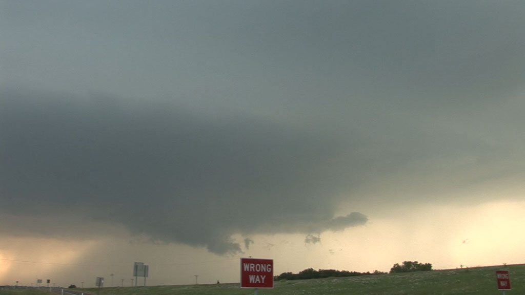
Wall cloud.
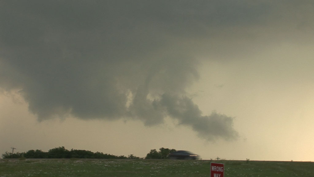
After two days with no chase opportunities, during which we heard nearly endless reports of the historic tornado outbreak in Mississippi and Alabama that we had missed, we were quite happy to be chasing storms again. It looked like we were going to be in the same area yet again (not far from Dallas-Ft. Worth), and when the storms did develop, our predictions were confirmed. The first storm went up over southwestern Dallas County and became severe-warned as we moved east on I-20 from I-635. The storm produced a pretty nice-looking wall cloud for about 45 minutes before it quickly dissipated. We attempted to find some newer storms to the southwest, but those never became strong, so we stopped in Cedar Hill, TX to spend the night.

Wall cloud.
Updraft base and wall cloud at Heartland, TX.

Weak funnel with the wall cloud immediately before storm dissipation.
Video summary of Tempest 2011 Tour 1: