September 03, 2017 Severe Storm
Home
A cold front was predicted to sag southward, and the models showed some reasonably good vertical wind shear over the area. The NAM nest model (a convection-resolving model) also showed some updraft helicity swaths over Itasca County. However, the convection-resolving models also tend to be a bit aggressive in the strength of their storms. Often, the storms don't even develop.
 |
|---|
| NAM next forecast some pretty significant updraft helicity tracks. |
Indeed, as the evening began, the storms that were supposed to be to my north and a bit farther to my west had not developed. When the sun set and the cold front was approaching, I decided to take a walk through the neighborhood to an open spot so I could see if there were even any boundary layer-based cumulus clouds along the cold front.
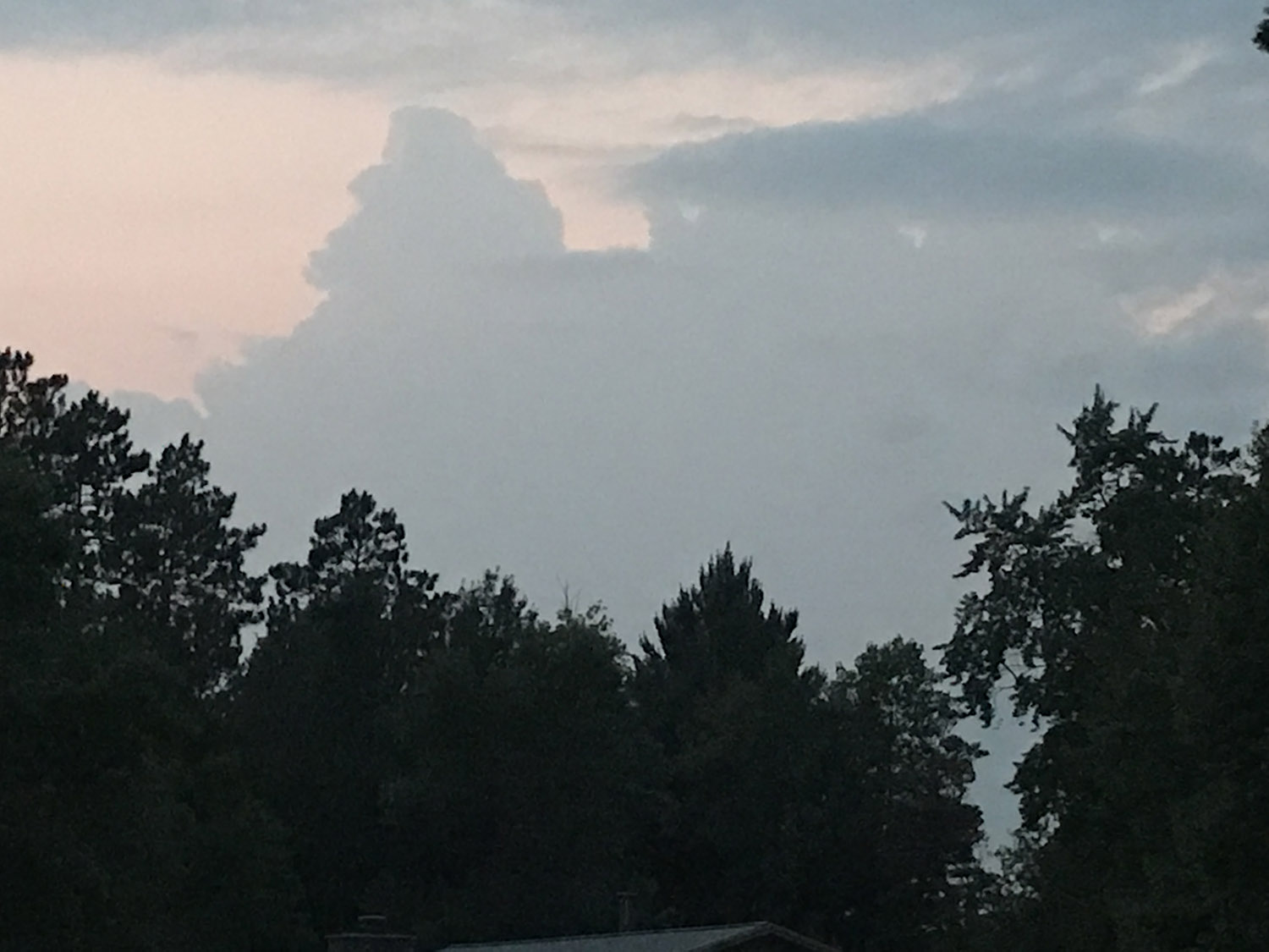
I walked a couple blocks until I could see to the west, and to my surprise, I saw a pretty tall cumuloform tower, but then a rather stratiform cloud base moved in underneath it, and I second-guessed whether I had interpreted what I saw correctly. Finally out in a more open area, I saw that it did look like the it was developing an anvil with an updraft to the west of me.
 |
|---|
| Towers going up, viewed from my neighborhood. |
Then, I remembered that I had my phone with me, and I could check radar. Lo and behold, it showed the first echoes from this developing convection. I started back home (about a five block walk), and just as I did, a couple flashes of lightning illuminated the sky to my west. By the time I had walked another three blocks, there was frequent lightning to my west. This strong storm had developed from nothing in about ten or fifteen minutes.
I set up a camera in my garage and began to take video of the lightning. Well, the video I took really isn't all that impressive. In fact, it's pretty boring compared to most storm chase video nowadays, but it was fun to bt there.
 |
|---|
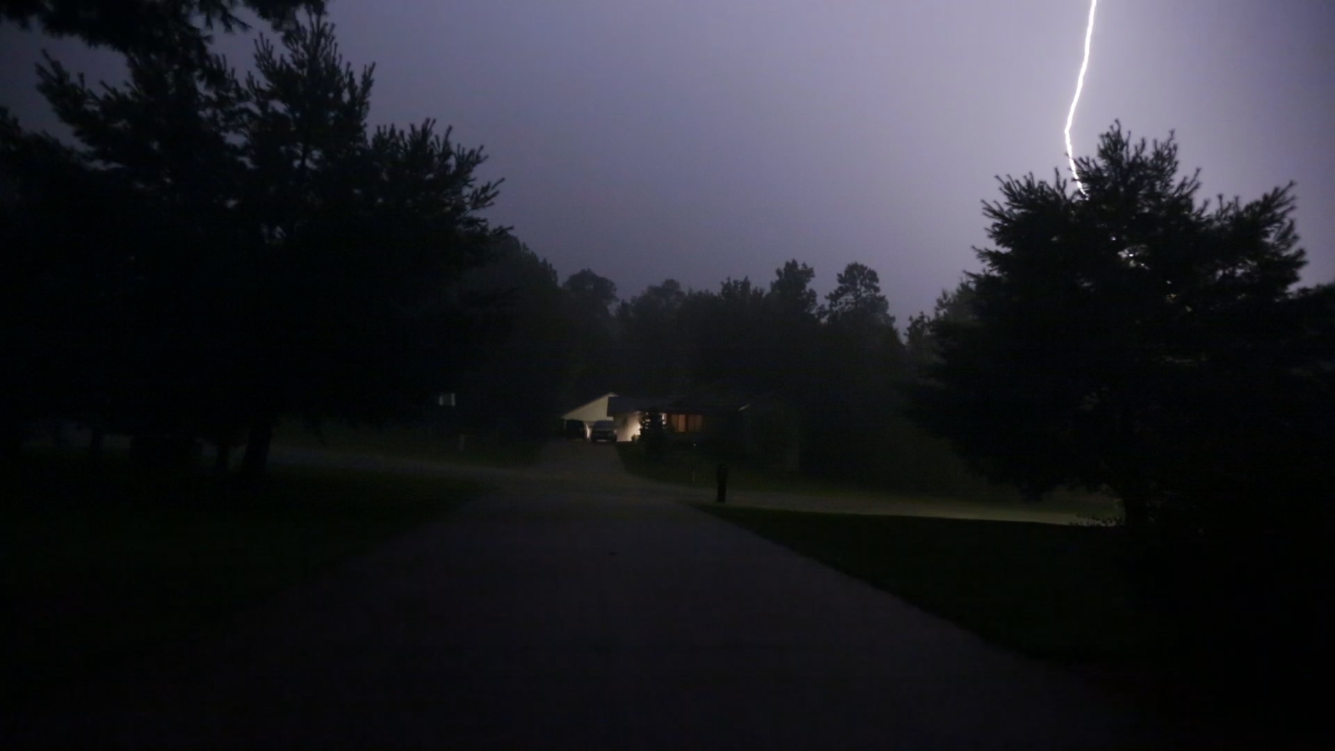
| A CG visible from my garage. |
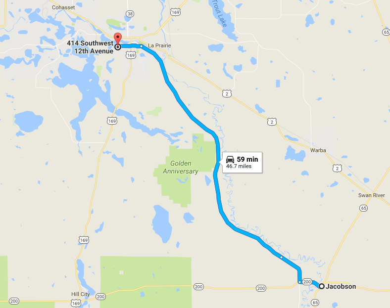
After the storm passed my house, the national weather service put out a severe thunderstorm warning for it, and the shape started to look pretty interesting on radar, so I decided to chase it. The chase effort ended up being rather futile because the storm was moving pretty fast, and there were a lot of clouds behind it, so I never saw anything photogenic. Plus, it's hard to identify many storm features when you're driving through trees at night. When I got to Jacobson and saw that the storm was not really evolving into a supercell, I turned back for home.
 |
|---|
| Route to Jacobson and back. |
Back to Storm Chases | Home