July 6, 2021 Supercells
Southern Montana
The threat for discrete storms looked a bit better today in a large portion of Montana. We began the day in Gillette. After a nice morning run, I joined the group for the weather briefing, and we headed north and west to our day's target, which I had not yet precisely defined, but I planned to be somewhere just north of Billings. We took I-90 to get us up there the fastest, and at lunchtime, we found ourselves at Hardin, opting for a location with multiple fast food options so the guests could choose their favorite meal. Once lunch was consumed, we continued west and north.
We observed new cells on radar and could see vigorous updrafts to our north, but they took quite a while to organize. We drove up to Roundup and purchased gasoline. We sat there for a while and waited for a dominant storm to form as I wrangled with my decision about how far north to go. There looked to be some potential for some development along a boundary quite a bit farther north (but still well within our range), but development of storms at this target area was not as certain, and the clouds looked a bit stratiform on satellite. The interesting thing about this area was that the cloud bases were lower, which would make for slightly better tornado potential if a storm could rotate.
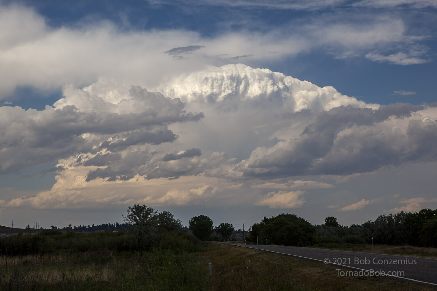
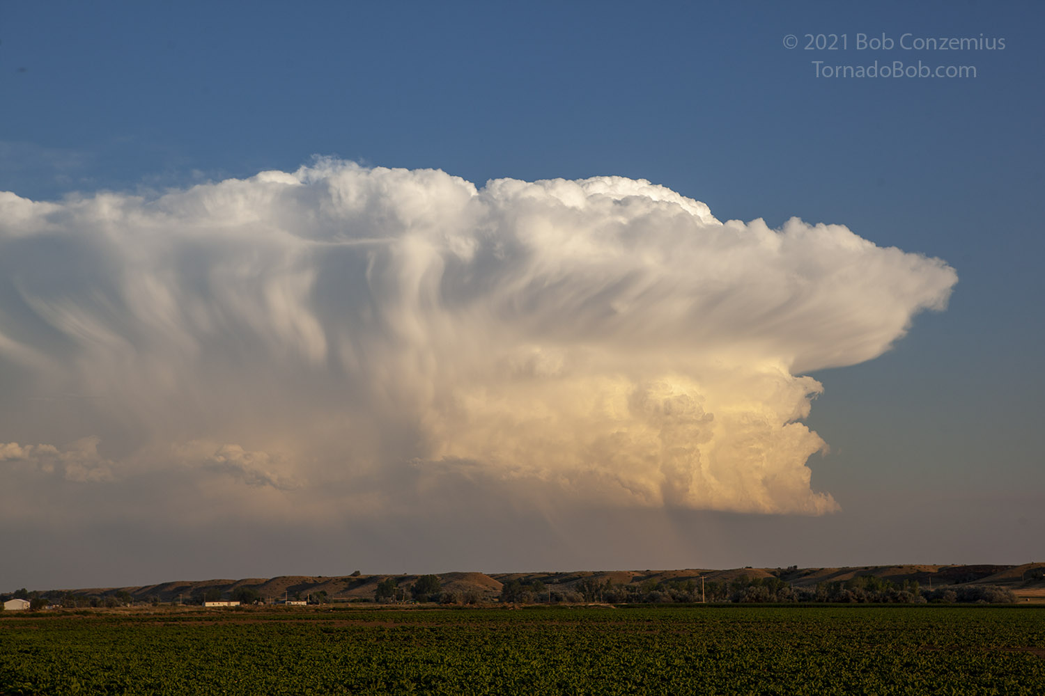
 |
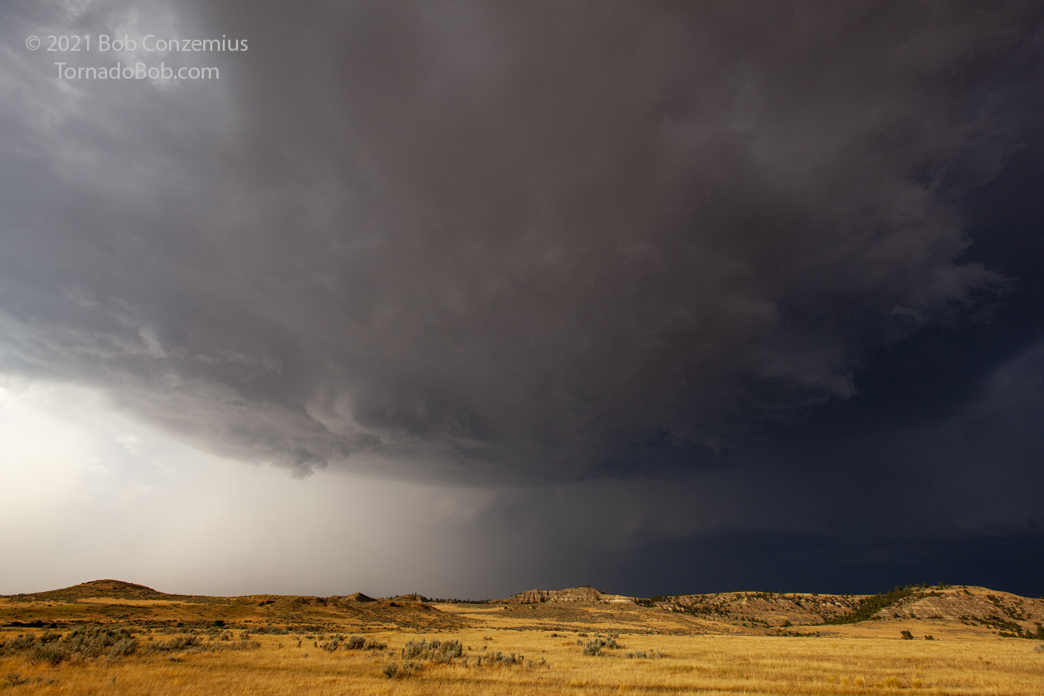
| Our first healthy storm of the day southwest of Roundup. |
After some time, a stronger, more organized storm grew to our southwest. This was big enough for us to investigate. We drove southwest on U.S. 12 and found a spot to pull over and watch it approach for a while. It had a nice base, large anvil, and some modest separation between the rain core and the updraft base.
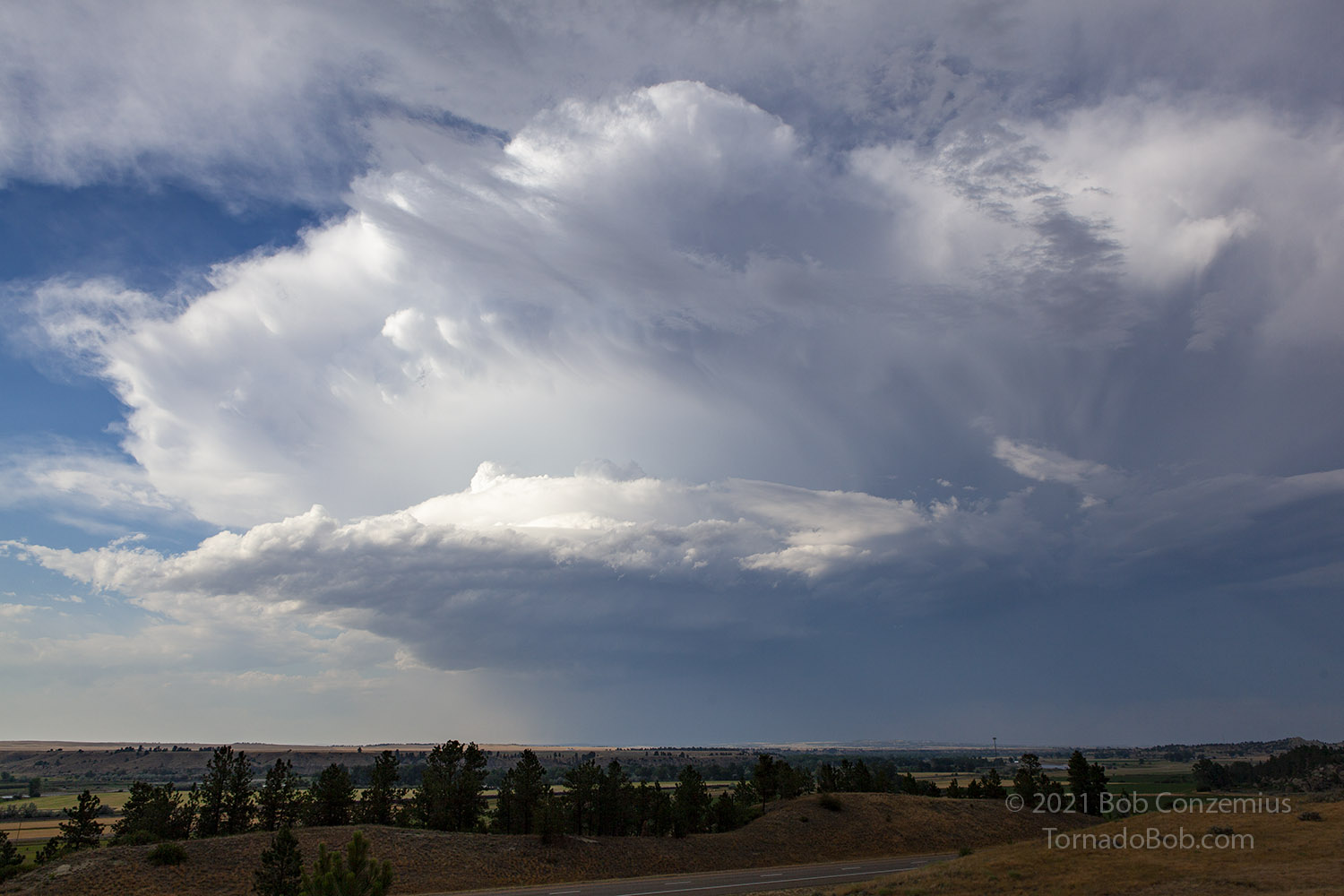
 |
| A second storm develops to our east. |
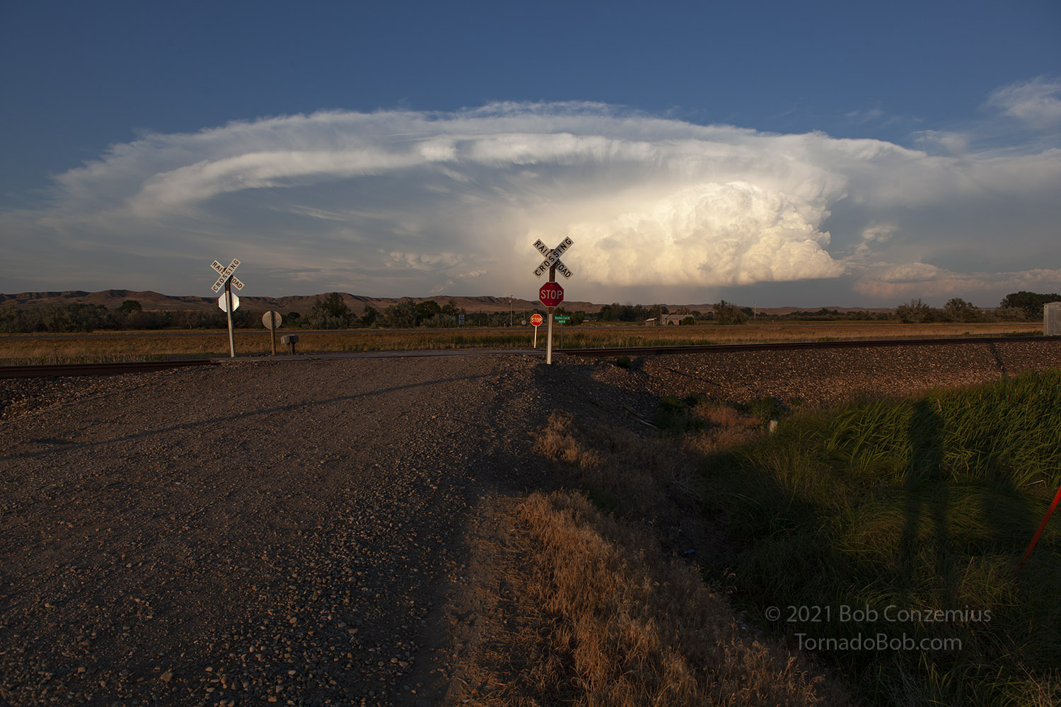
When the storm got close enough, we decided to preceed it to the south-southeast. Rather than drive back northeast and out of position to view the storm, I opted for a small road directly in front of the storm (Goulding Creek Road). It looked like this road would at least start off paved, and we could keep up and have some photography opportunities on this storm.
It turned out that this road wasn't a fast enough option, and we found ourselves driving as fast as we could to barely stay in front of it. It was a windy, slow road that took us through a ravine or a small canyon with limited visibility. The maps showed the road would break out into a more open area, but it also turned to gravel. When we reached the open area, the straightness of the road more than compensated for the gravel, and we were starting to get back ahead of the storm again. Unfortunately, we came up behind a utility van driver who was in no hurry whatsoever. Even worse, we were approaching some train tracks, and there was a train in the distance. The driver in front of us drove just barely slow enough that he decided to stop and wait for the train to go by, and that allowed the storm plenty of time to catch up to us.
We got the expected barrage of heavy rain and hail up to about an inch (maybe 1 1/4") as the reflectivity in the core increased, and we seemed to be driving just fast enough to stay with the core rather than escaping it. Our time with straigh roads was not very long, and soon the road took us down from the high, wheat-covered plateau that we had been on for a bit. The gravel road was steep and windy, but we eventually made it out without any new hail dents or cracke glass on the windshield. Being in the core, we really didn't have any time for photography.
We got on U.S. 87 and headed south toward Billings. This got us ahead of the storm again, but this lead did not last long as we soon found ourselves on the north side of Billings. The storm also seemed to be slightly less interesting than the storm that had developed to our east. The road options also didn't look the best for staying on our first storm. We took Highway 212 northeast through Cline and toward Huntley. Part of the core of our storm was north of us as we drove through this area, and we worried about getting back into hail, but the highest reflectivity passed to our southwest.
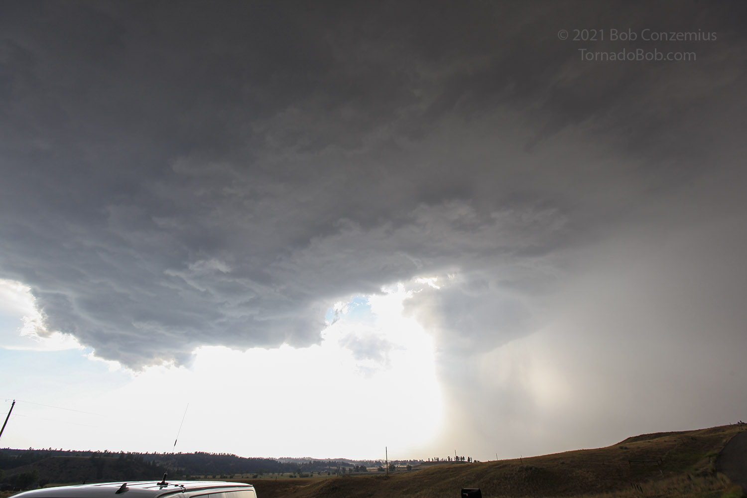
Once safely clear of our first storm, we hopped over to I-94 and drove to the second storm. We did a quick pit stop at a rest area then exited at Highway 47 between Custer and Bighorn. The storm looked like it would be a decent supercell to chase.
 |
| Our second storm approaches Interstate 94 west of Custer, Montana. |
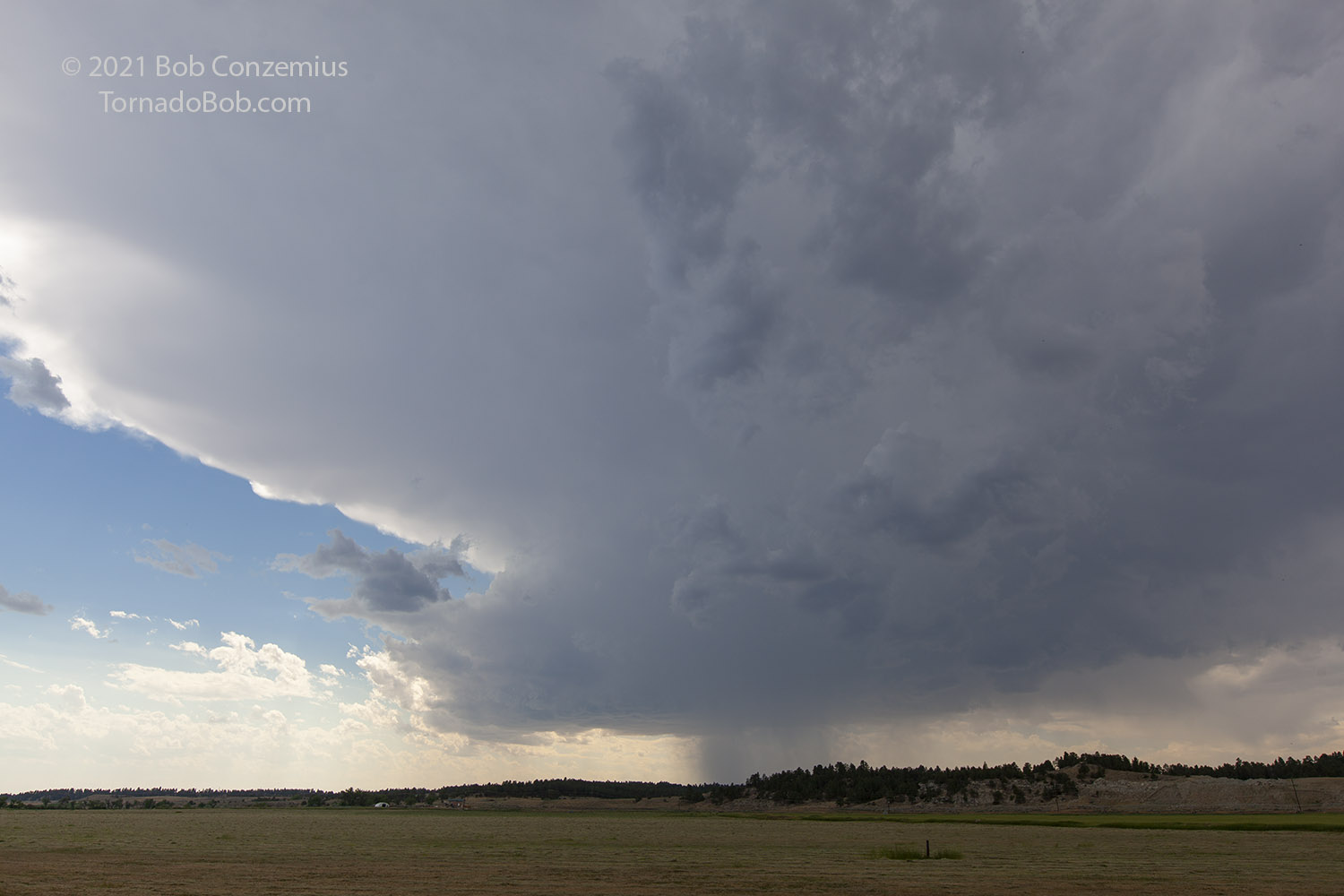
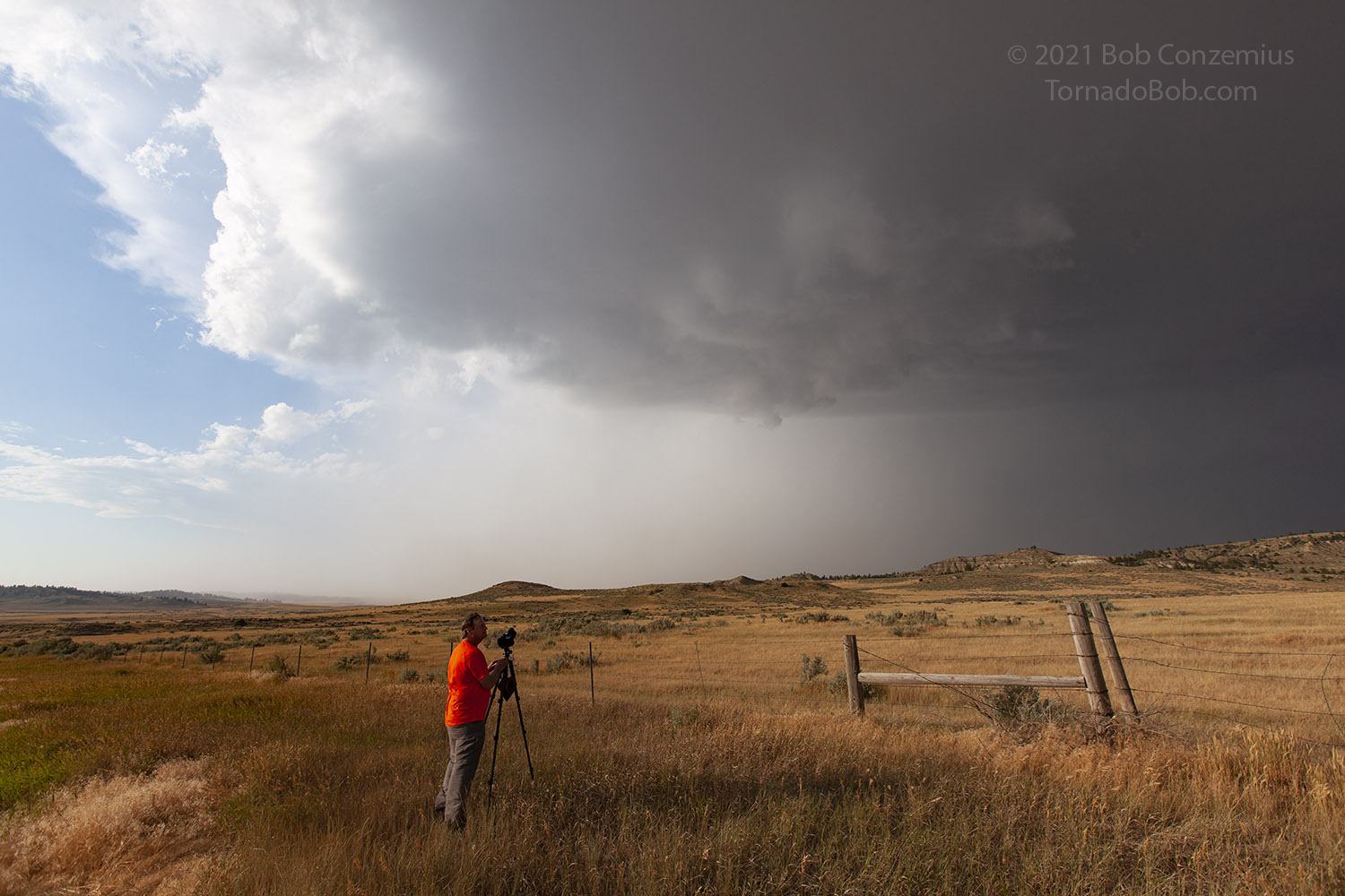
This road took us in a direction just west of due south, and it looked like a somewhat straighter road than the first one we had taken. Unfortunately, this road quickly turned to a rough gravel surface, over which it was difficult to go faster than about 30 mph. This slow travel allowed the storm to keep pace with us, and we were never able to get into a comfortable position for photography. We stopped a couple times to look up and find the base directly overhead, threatening to drop large hail on us (nothing larger than about 1.25" was reported).
 |
| The base of the storm is right behind us, chasing us down the road. |
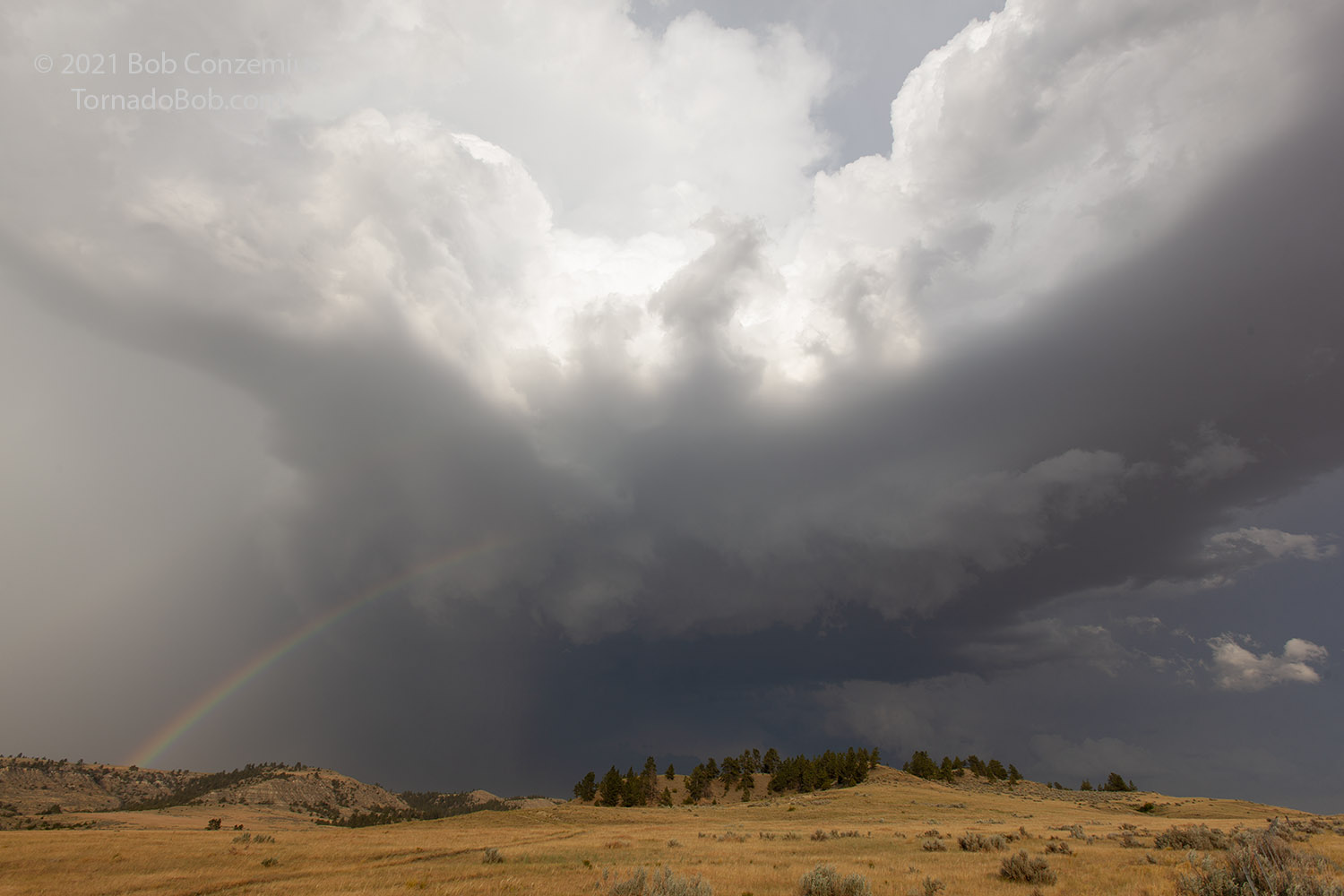
Our slow progress continued, and we weren't getting ahead at all. Fortunately, the road's slightly westward direction took us far enough from the updraft base that we found an opportunity to let it pass to our east. It was getting later in the evening, and the sun was getting lower in the sky, affording us an opportunity to photograph rainbows and the back side of the storm. There was still some rain behind us, but as this apparent core approached, it became apparent that this was also a dusty, windy area, and the rain really wasn't that heavy. We enjoyed the wind and the new view of the storm for a while.
 |
| The base gets just a little east of the road. |
 |
| As soon as we stopped, we could see rain and dust coming southward on the road toward us. |
 |
| A flanking line on the storm as it gets past us. |
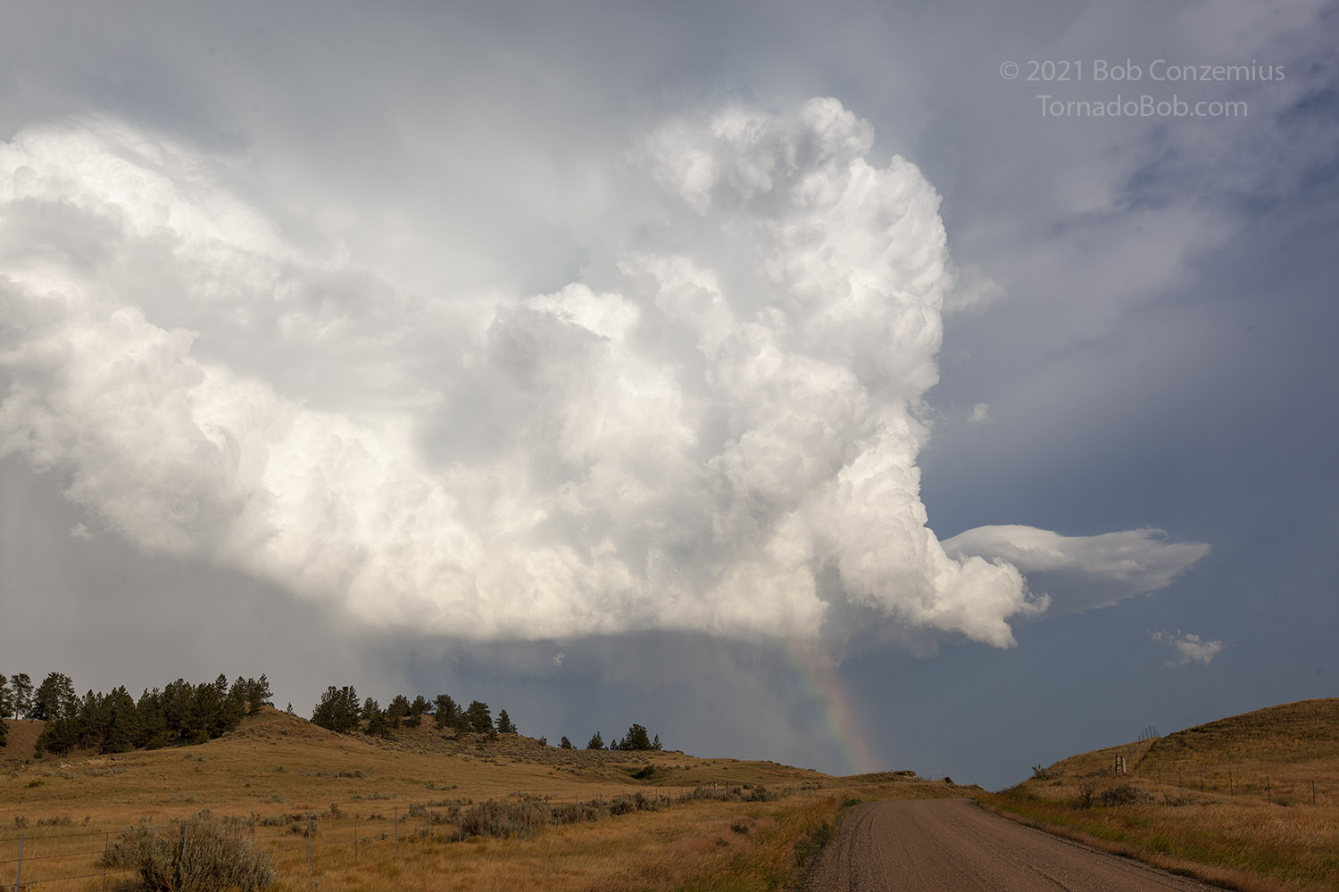 |
| The updraft looked impressive from the back side. |
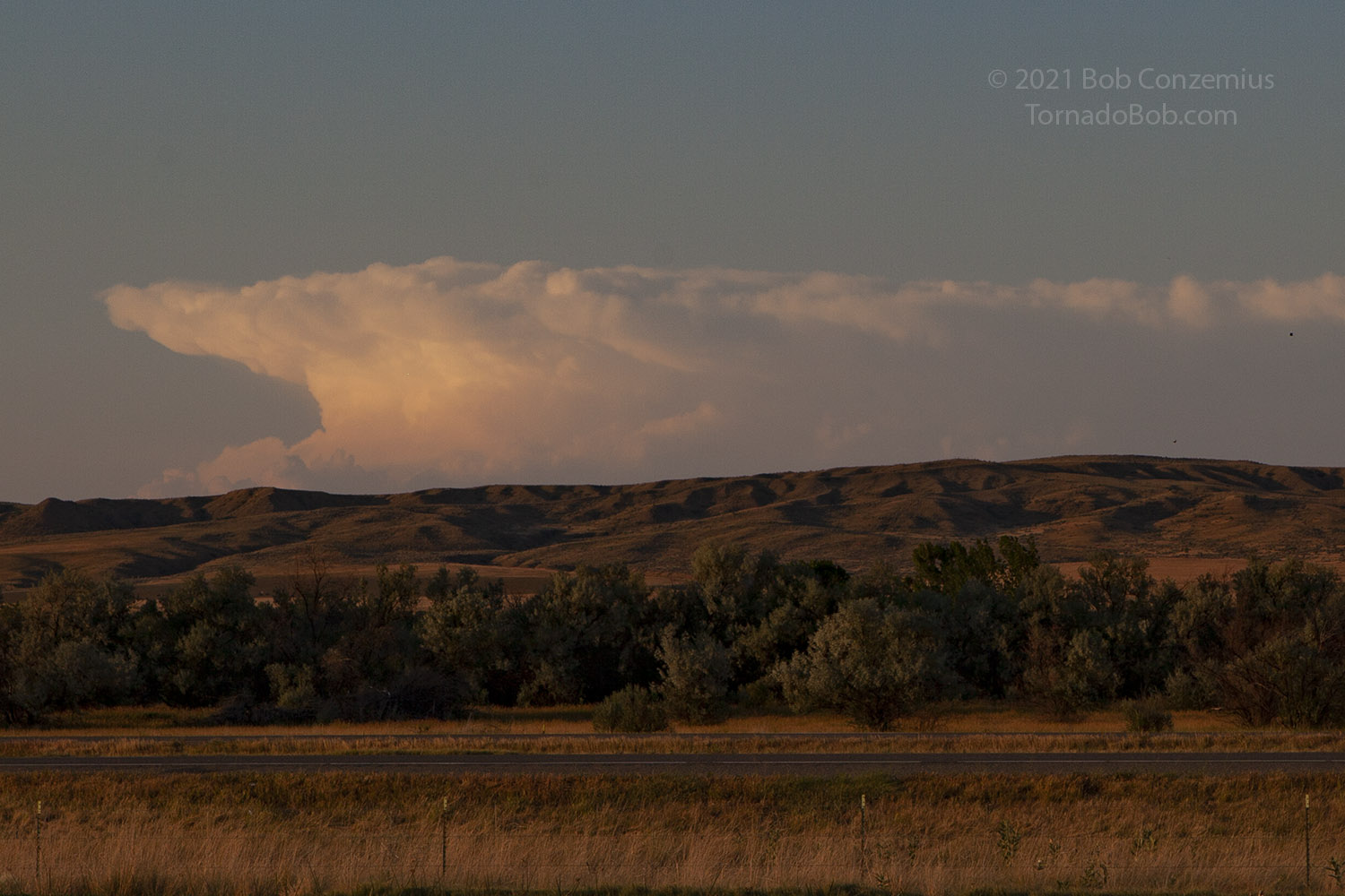
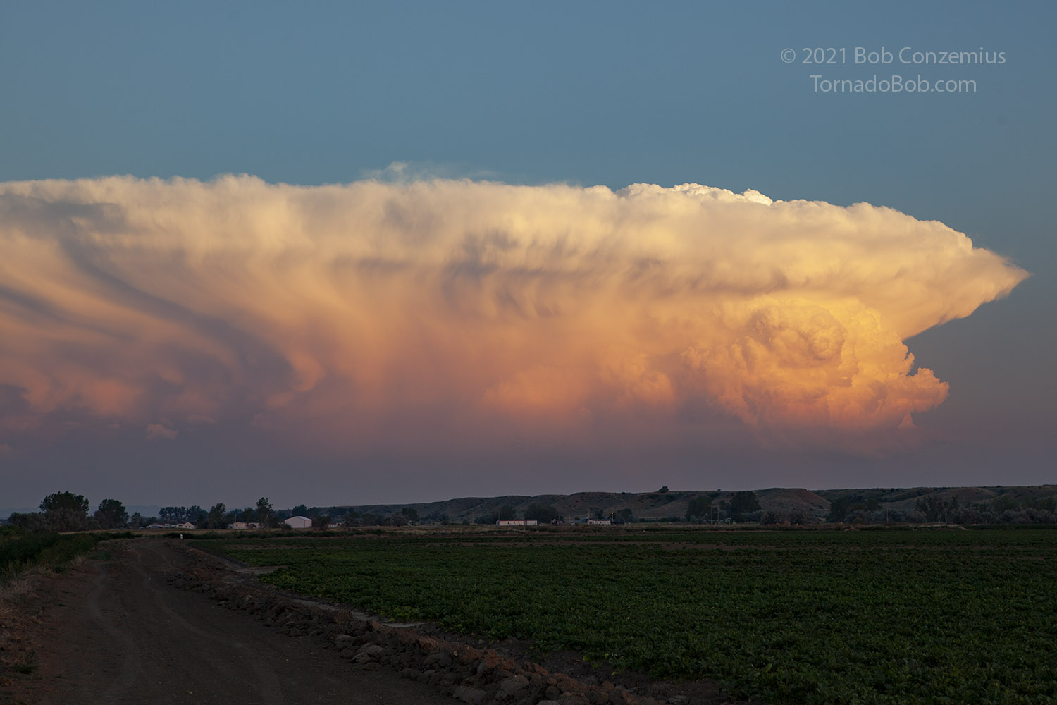
Once the storm got ahead of us, there were no other storms particularly close by. We decided to make our way back to I-90 and Billings. On the way, the sunset gave us some great illumination of all of the storms in the distance around us. We stopped for photography at sunset.
Checking Twitter, I learned that a small, brief rope tornado or funnel had been observed in that area north of our first storm where the LCLs had looked better but storm development looked less certain. In fact, the storm did not look as strong on radar as the storms we chased. I guess the LCLs did the trick as the storm database had a brief tornado over open ranchland that caused no damage. It was the only tornado in Montana for 2021. Had we been there, it would have been the third year in a row I saw a tornado on July 6.
 |
| The closest storm to our south. |
 |
| Our storm directly east. |
 |
| Another storm on the horizon to our north-northeast. |
 |
| Another look, a few minutes later, at the storm to our south. |
 |
| The sun sets on the storm to our southeast. |
|
| Our approximate route for the day. |
Back to Storm Chases | Home