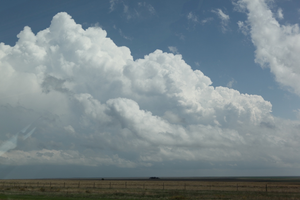
Storm initiating.
Storm initiating.
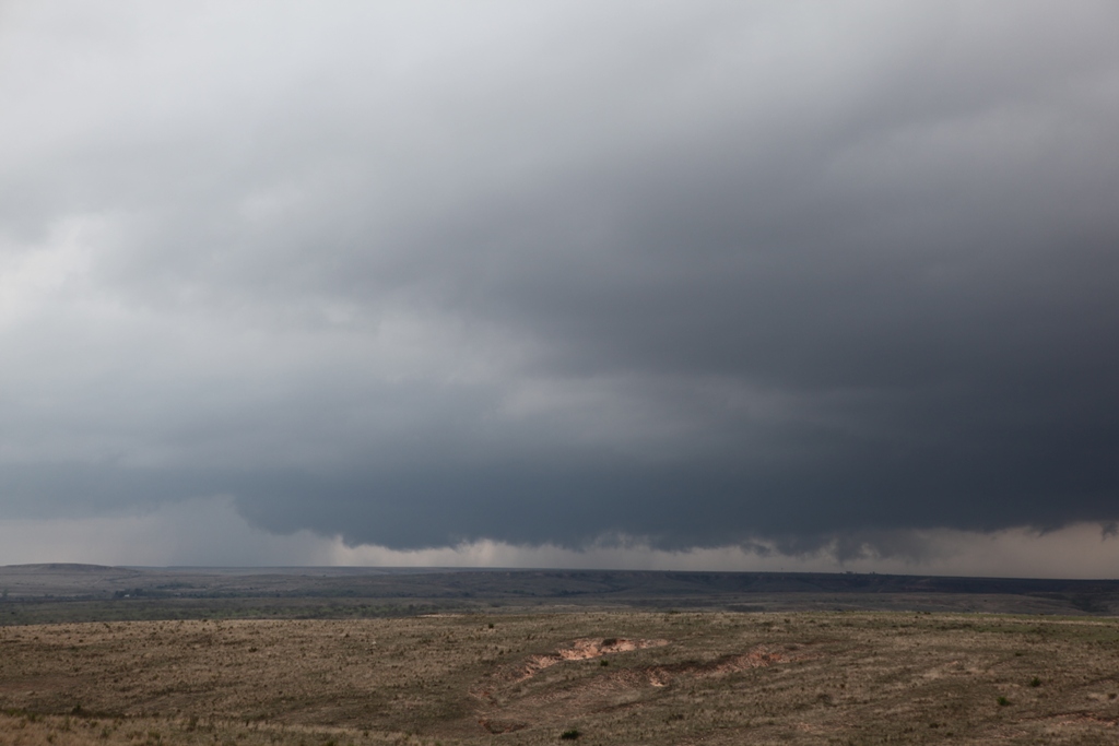
Wall cloud on Storm #1.
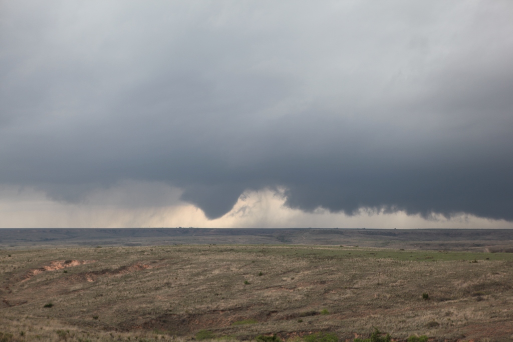
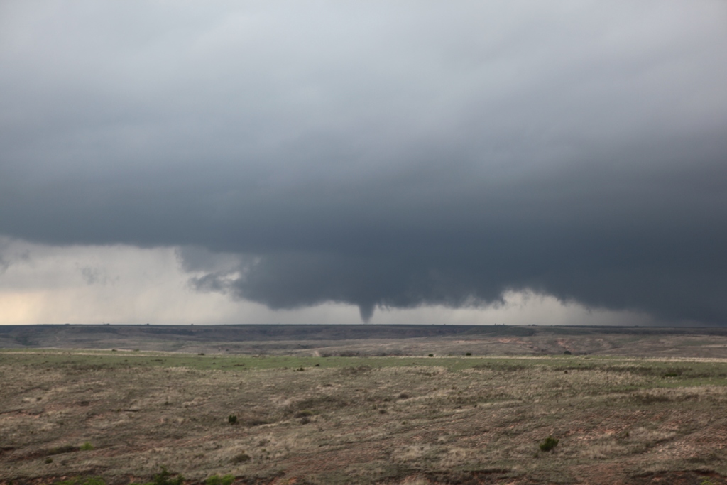
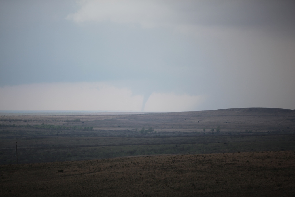
First tornado (Storm #1) appears as a weak, truncated cone. RFD has eroded wall cloud area.
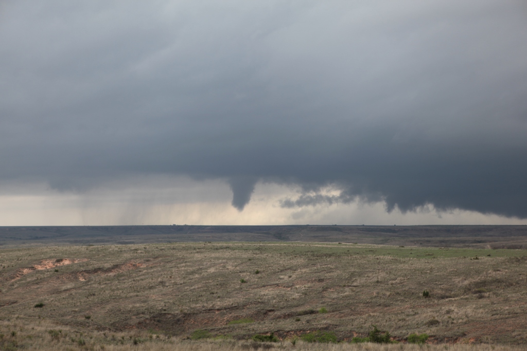
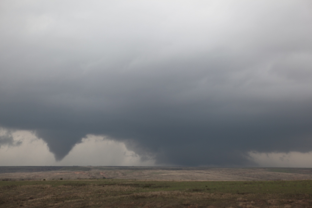
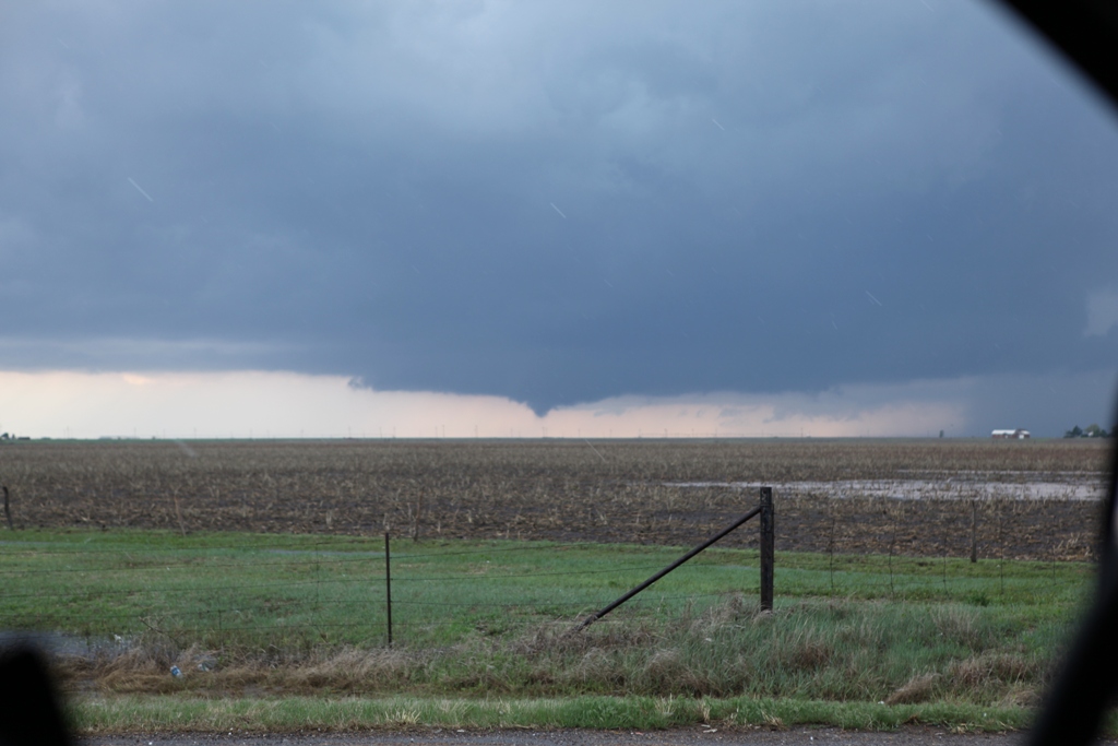
First tornado begins to narrow as occlusion occurs.
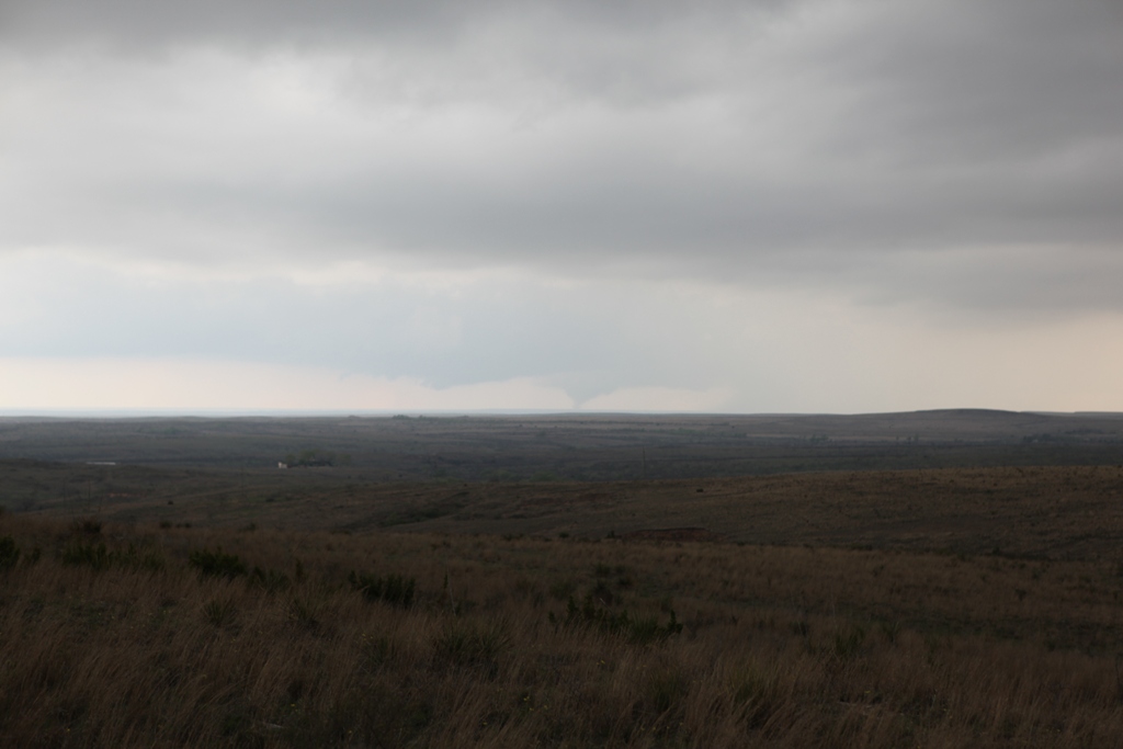
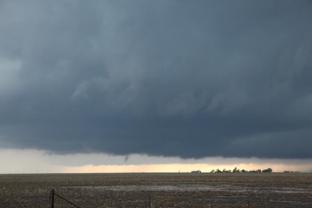
Second tornado (storm #1).
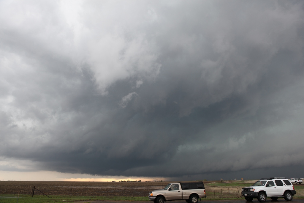
As second tornado grew and started to move north of us, I considered moving north with it.
Third tornado developed on Storm #2 as the tornado continued on Storm #1. We could see both simultaneously.
Tornado #3 with dust and debris cloud.
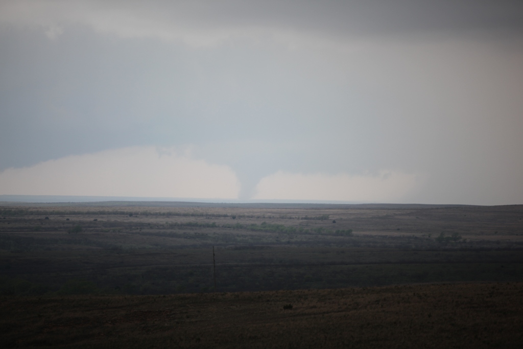
Tornado #3 becomes an elephant trunk.
Near Jericho exit at I-40. Storm #2 produces another funnel.
Yet another funnel on Storm #2.
Mesocyclone structure on Storm #2.
Large, bowl-shaped wall cloud on Storm #2, precursor to tornado #4.
![MOV_snapshot_00.08_[2010.04.25_00.40.37].jpg](./MOV_snapshot_00.08_[2010.04.25_00.40.37].jpg)
One vortex (right) from a multiple vortex tornado (#4) near Alanreed, TX.