Models had been showing faster mid-level flow and a chance for severe storms for several days, but the low-level flow would also be veering quite a bit, reducing the directional shear and low-level convergence (associated with the deep lift that helps form thunderstorms). The previous evening, the low-level flow looked particularly veered, so I did not expect to chase, but in the morning, they showed winds to remain a bit more backed, associated with the potential for the development of stronger storms during the afternoon. Consequently, the Storm Prediction Center upgraded their Day 1 outlook to a moderate risk.
The Target
I picked an initial target of Bemidji, MN, thinking the front would not be too far away from there during the afternoon, and I could react as storms developed either to the northwest of me, to the southwest of me, or somewhere in-between. I was thinking I would be driving to the west or southwest, but I almost immediately saw small storms developing to my north. I had an easy route to catch them to the northeast up U.S. 71, so that's the way I went.
The Chase
Storms developed and strengthened as the moved east of my longitude and became severe as they crossed into St. Louis County. There were very few roads in that area, so I decided to head for the westernmost cell. A few quick looks over my shoulder revealed no strong updrafts to my southwest, so I was pretty safe continuing northeast. I had to drive all the way to Big Falls, where I finally got to the latitude where the storms were developing.
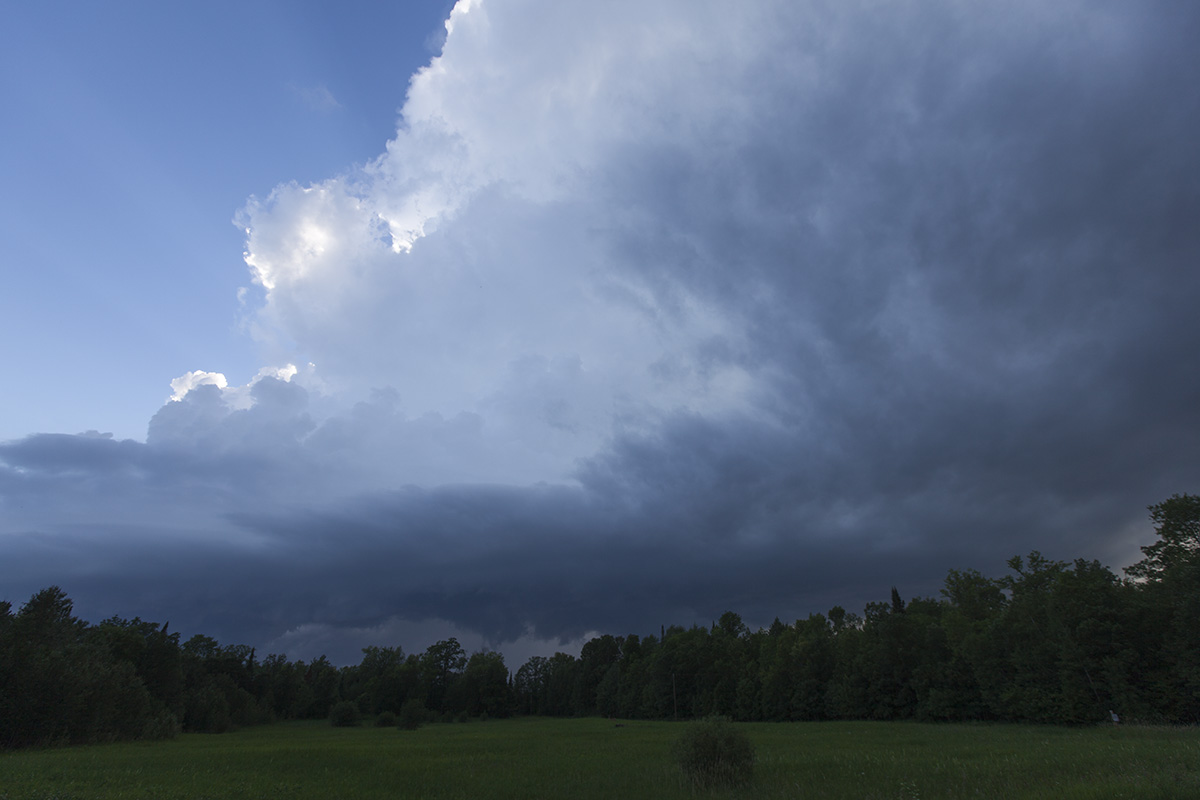
A small LP-type updraft near Gemmell.
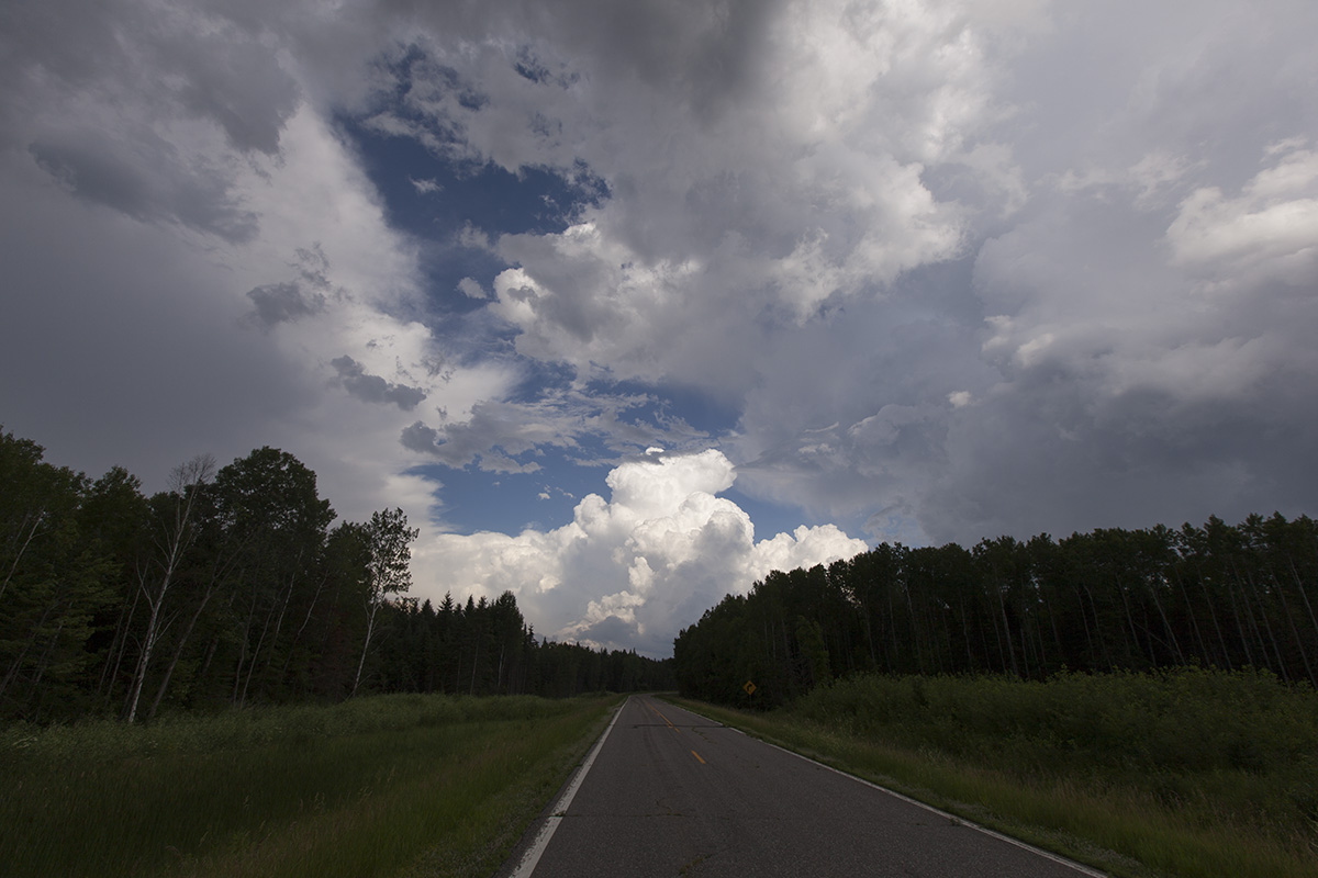
My target storm here is near Waskish moving into west-central Koochiching County and towards Big Falls.
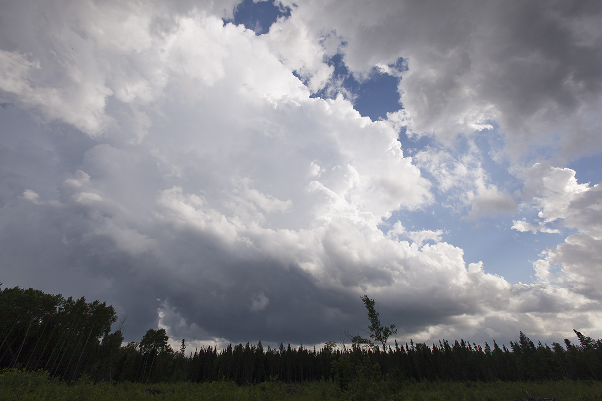
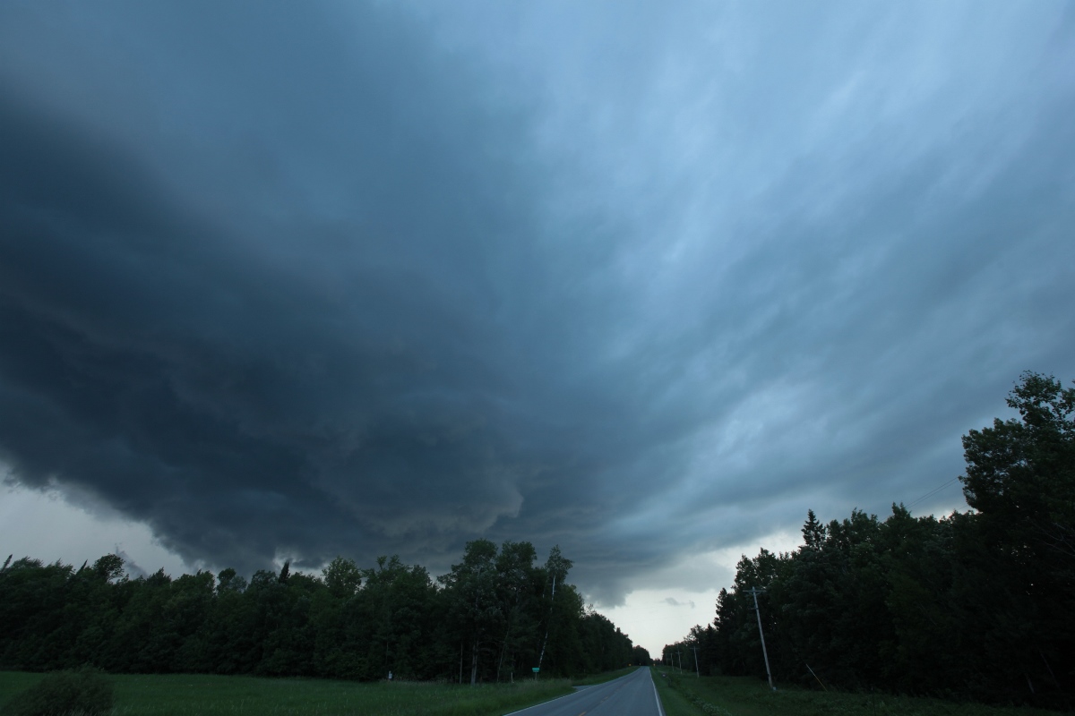
When I arrived at Big Falls, the storm was back-building and still near Waskish. There were no paved roads that crossed the entire forest and bog expanse to my west, but County Road 30 at least went a few miles in, so that's the way I went, taking a few pictures along the way as new updrafts started to develop around me. Here is a new updraft that developed to my south. It had a relatively nice, low base.
West of Big Falls on County Road 30, a new storm develops to my south.
A look east on County Road 30 with anvils either side of me and an updraft to the east.
A look to the west on County Road 30 toward my target storm.
I was a little worried about the new storms becoming dominant and cutting me off, and newer cells were also developing to the southwest, but radar showed I had time before those became a problem, so I continued west on Highway 30 toward my initial target storm. As you can see from the pictures, it was difficult to get a good view of the updraft bases through the trees, and there was really no shoulder on which to pull over, but with the bad always comes some good. Because this was a road into a forested area with little human population, there was almost no traffic. In fact I saw only one truck in the 30 minutes I was on that road. If I found a spot with visibility, I could simply stop in the road and start shooting (during aurora chases, I actually can set up on tripod in the middle of state highways up here and shoot for several minutes).
I got a few miles farther west and could get an occasional look at the updraft base, and it had some interesting lowerings, but I could not get a complete look through the trees. By the time I did, there were other storms beginning to merge with it, and the storm was losing its individual identity.
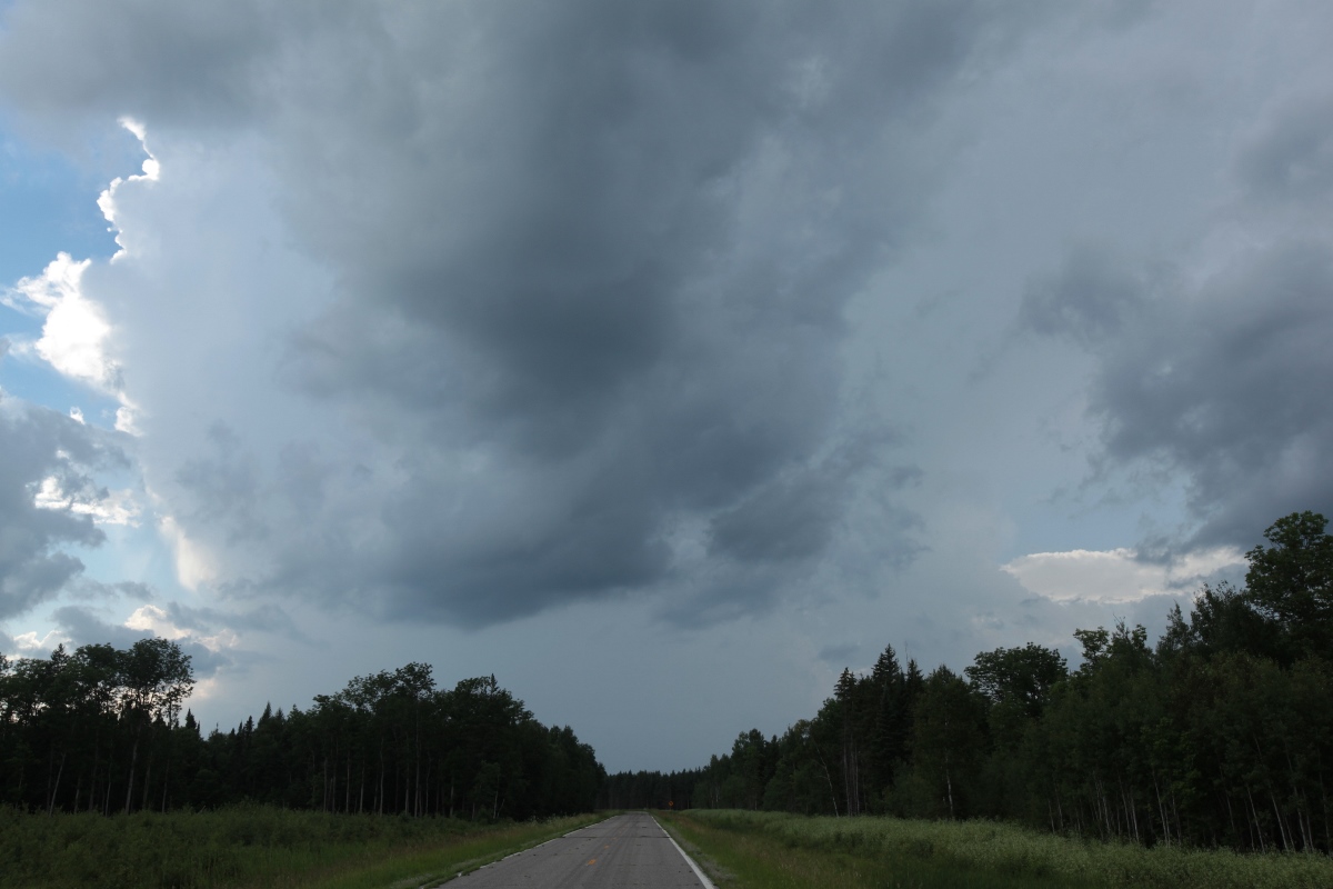
Farther west on 30, target storm has moved east, but other storms are merging with it.
Storm Number Two
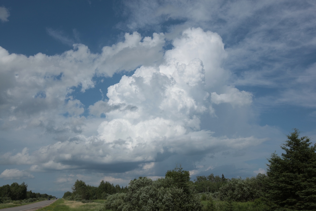
I decided to pick a new target farther southwest because of newer development in that direction, and my initial target was not looking like it had any potential to become severe. I dropped south on MN Highway 6 from Big Falls and kept going until I got directly east of a cell coming into the northwestern part of Itasca County.
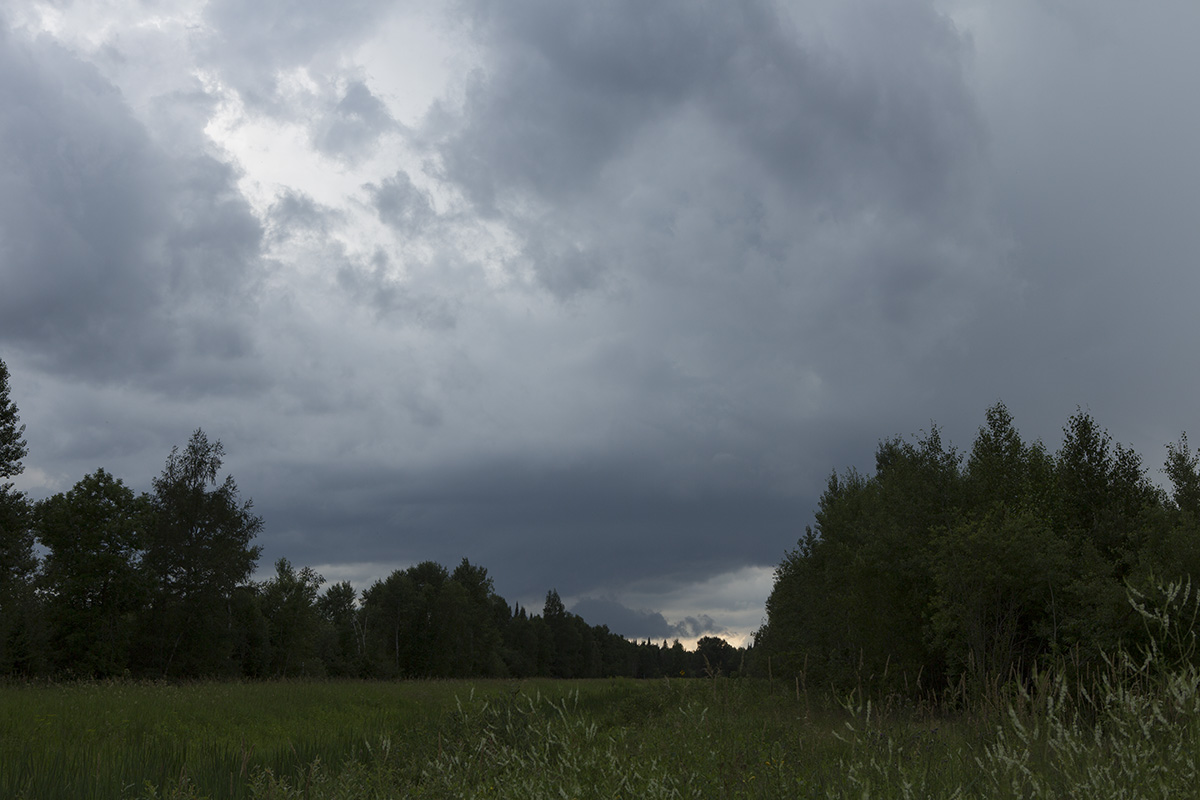
Storm entering western Itasca County viewed from Gunderson Lake west of BigFork on MN Highway 6.
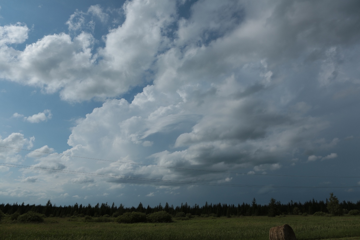
I then drove west through Spring Lake to find the updraft base of the new storm. I had chased northern lights in this area back in February, so I was aware that the road had some clear areas where I could see closer to the horizon. I continued a few miles west of Spring Lake until I got to the east side of Little Sand Lake, where I met the updraft base. I stopped there to take a few pictures, again not finding a good pullover spot, but there was at least a little bit of a shoulder on the road. Once the base caught me, I drove back east with it, taking a few pictures along the way.
Storm a few miles west of Spring Lake.
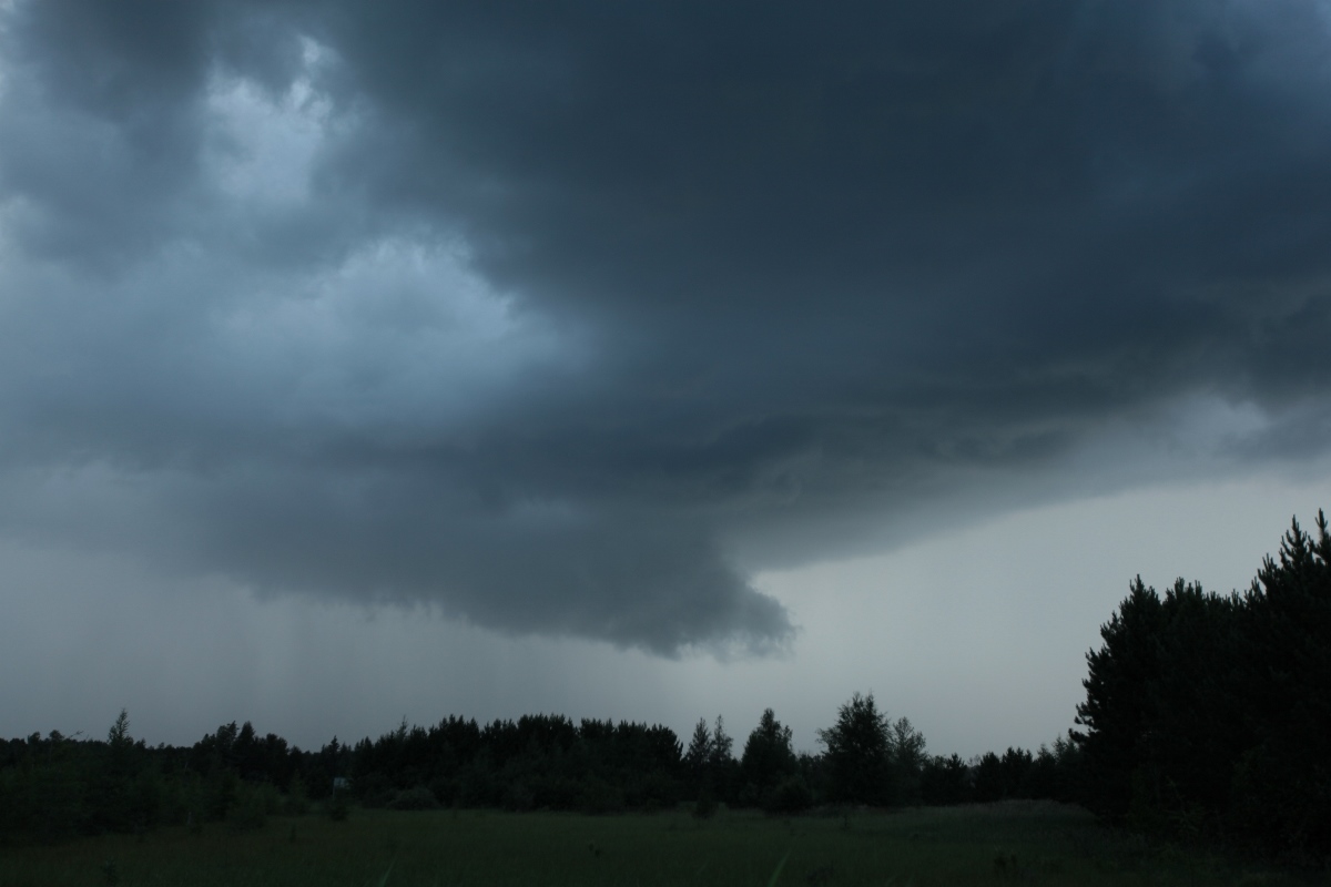
Updraft base crossing the road, looking north.
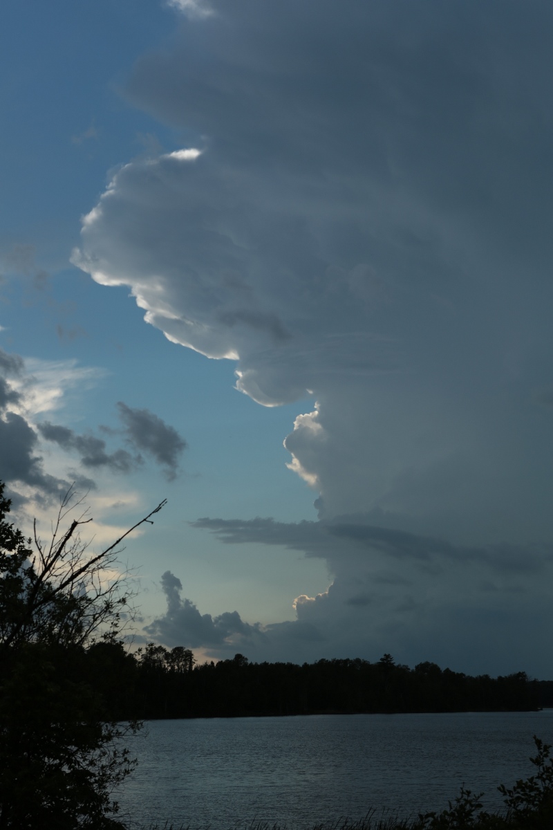
A small wall cloud feature on my storm near Spring Lake, but the updraft base is becoming less organized. Click here to see the shot I took from this same spot last February.
Storm Number Three
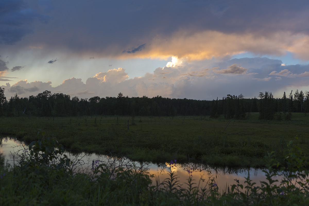
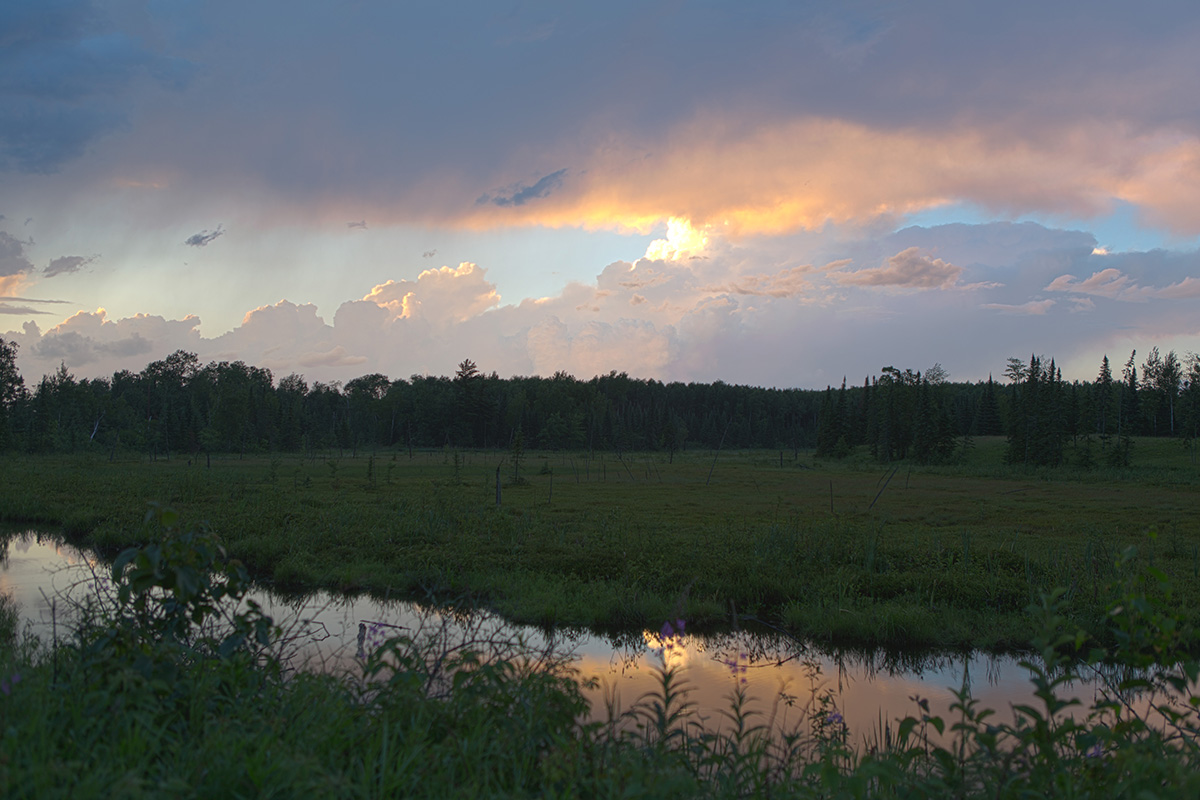
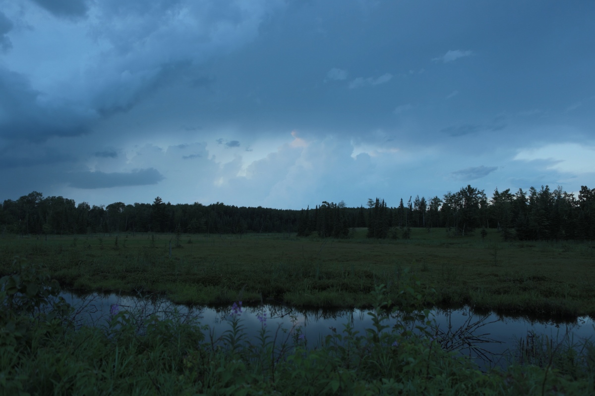
By the time I reached Marcell, the storm had weakened quite a bit, so I let it go. I checked the ACE Spacecraft Data for the possibility of northern lights if I stayed in Marcell past dark. Nothing was looking great, but a new storm developed in northwestern Itasca County, so I waited where I was, taking a few pictures until it reached me. The scene to my east was that of a boggy foreground with a few blooming fireweed plants to provide some bright colors and some cumulus congestus illuminated by the setting sun as an even more colorful backgroud, but the foreground was not well lit compared to the sun-illuminated updrafts to my east. That presented some exposure problems. I bracketed quite a bit and experimented with the HDR settings on my DSLR, but I wasn't satisfied with its HDR images. I may be updating these images if I have a chance to process them more to my satisfaction, so check back. UPDATE: I have added some processing to the image below to bring out the foreground a bit and to put the color back in the image as I remember seeing it in real time. This involved adjusting shadows and black upward in Adobe Camera RAW and modestly increasing the saturation and vibrance. I also tried HDR in Photoshop CS6 (no better) and on the camera (worse).
In Marcell, a few cumulus under the anvil of the third storm of the day. 34mm, f2.8, 1/60 second, ISO 100.
Same image using three images from the camera (+/- 2EV) and HDR in Photoshop.
Sun has set now, making the exposure a bit easier on the camera, but the color is gone. 24mm, f2.8, 1/15 second, ISO 100.
Back Home
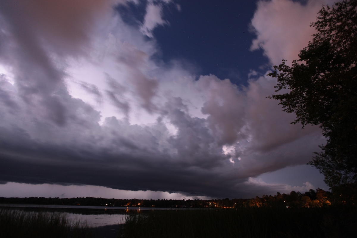
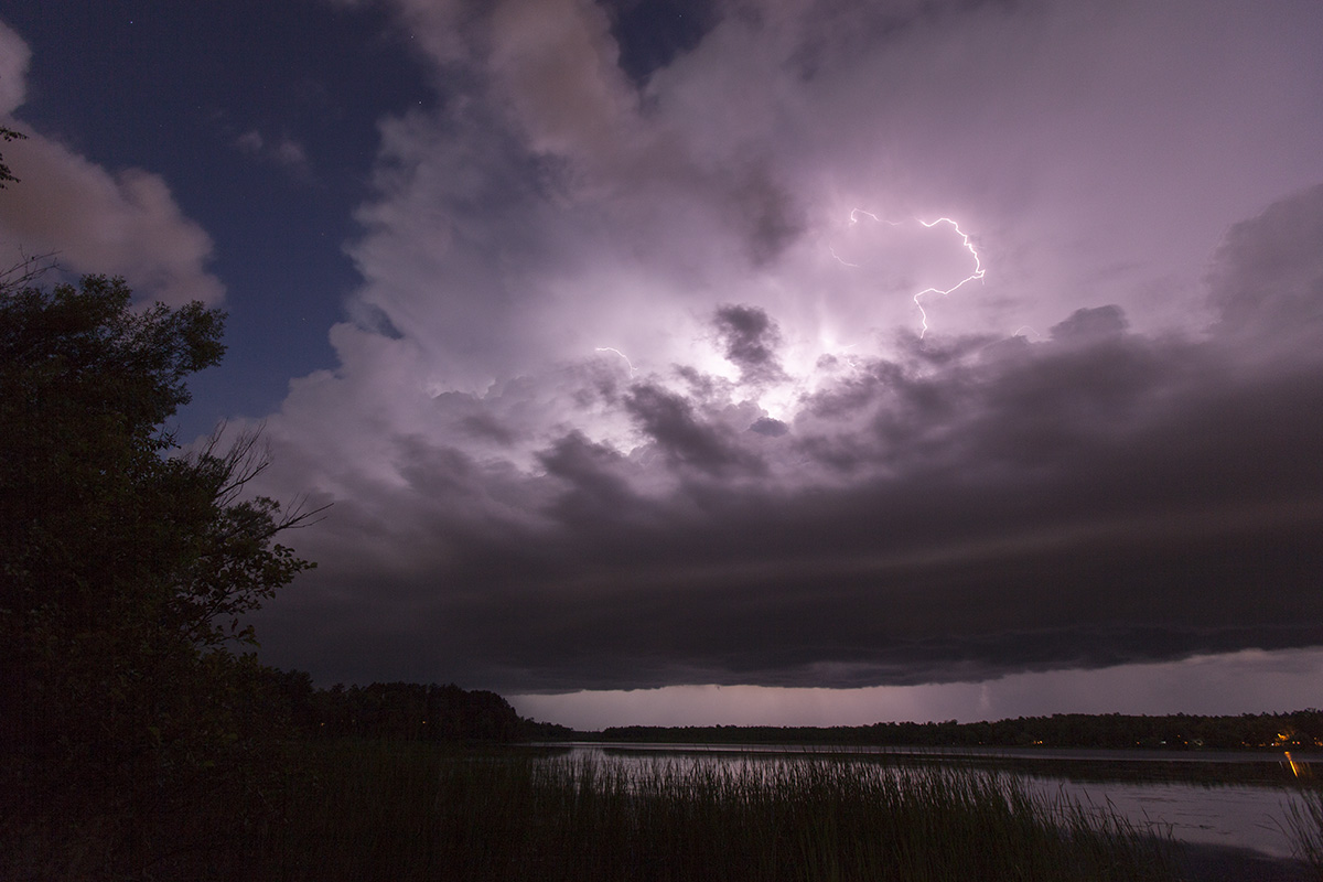
When the third storm got to me, I decided to drop south on Highway 38 to stay ahead of it. That took me to Grand Rapids before I stopped to look back from the boat landing on McKinney Lake. At this point, or maybe slightly before that, the storm was knocking over a few trees on Johnson Lake, so my chase result is officially logged as "severe storm". The lightning was really putting on a good intracloud show, but there were almost no cloud-to-ground strikes. I tried some experimentation with as short a shutter speed as possible and low ISO as possible to get a high quality image with little storm motion blur. That ended my chase-- only the second severe storm I had intercepted in Minnesota this year.
Looking north-northeast over McKinney Lake in Grand Rapids at the approaching storm. 16mm, f2.8, 4 seconds, ISO 800.
Looking northwest at the approaching storm. 16mm, f5, 5 seconds, ISO 400.