 |
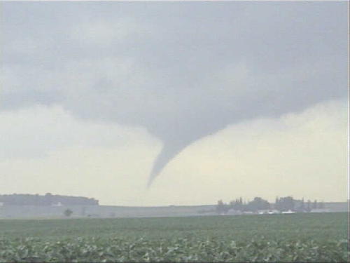
| This image was taken just a few miles northwest of Owatonna at 7:47pm. It's hard to tell whether this was on the ground or not, but it would have been down only a few seconds. |
 |
| This image was taken just a few miles northwest of Owatonna at 7:47pm. It's hard to tell whether this was on the ground or not, but it would have been down only a few seconds. |
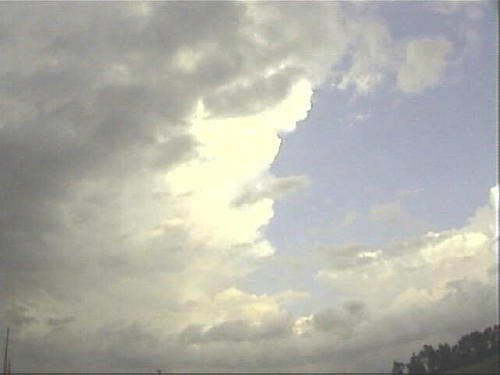 |
| Just after 8:00 pm, looking east. Updraft base is just to the left of this picture, and storm tower can be seen ahead. |
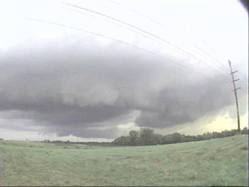 |
| Another wide angle view. Updraft bases, both in front and in the distance, close to the horizon. Possible inflow band behind the trees on the right. Flanking line is off to the left of the picture, to the west-northwest. |
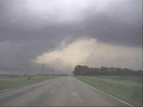 |
| Now slightly east and north of Owatonna, around 8:30, heading east. Closer updraft base and flanking line are now off to the southeast through southwest of me (to the right), and the more distant updraft base is on the left side of this picture. Inflow band is straight ahead and could be outflow boundary from storm in the distant center of this photo. Probable rain core of closer storm is off to the right somewhat. |
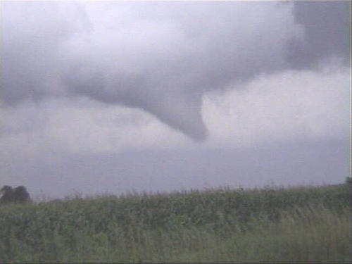 |
| An inflection in the flanking line suddenly has turbulent and rising scud underneath it immediately to my south, extending below the tree level (from my perspective). By the time I set up tripod, the scud had evaporated, but this funnel cloud appeared soon afterward. |
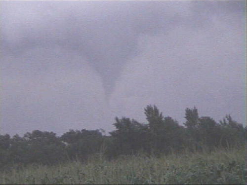 |
| Funnel gets close to the ground, then disappears after this image was captured. The funnel is moving rapidly east, and it's now past sunset, so contrast is getting poor. |
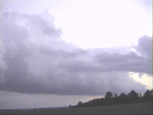 |
| Meanwhile, flanking line extends to the southwest of me, into the sunset. |
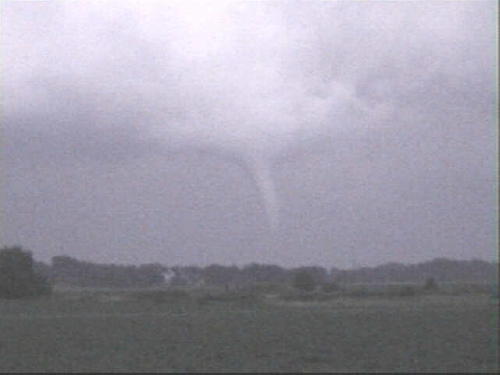 |
| Finally, as I move east, a condensation funnel forms again, this time much farther down. Contrast is especially poor at the horizon, but it probably touches down briefly right about this time. |
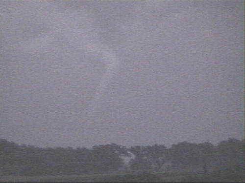 |
| Zooming in, at 8:48 pm. Elephant trunk funnel extends down to my visible horizon. Most likely a tornado at this point. |
| Lightning after dark. |
| Lightning after dark. |