May 24, 2023 Supercell and Tornadoes
Tucumcari to Clovis, New Mexico
We found a beast of a storm with a couple tornadoes and incredible HP structure.
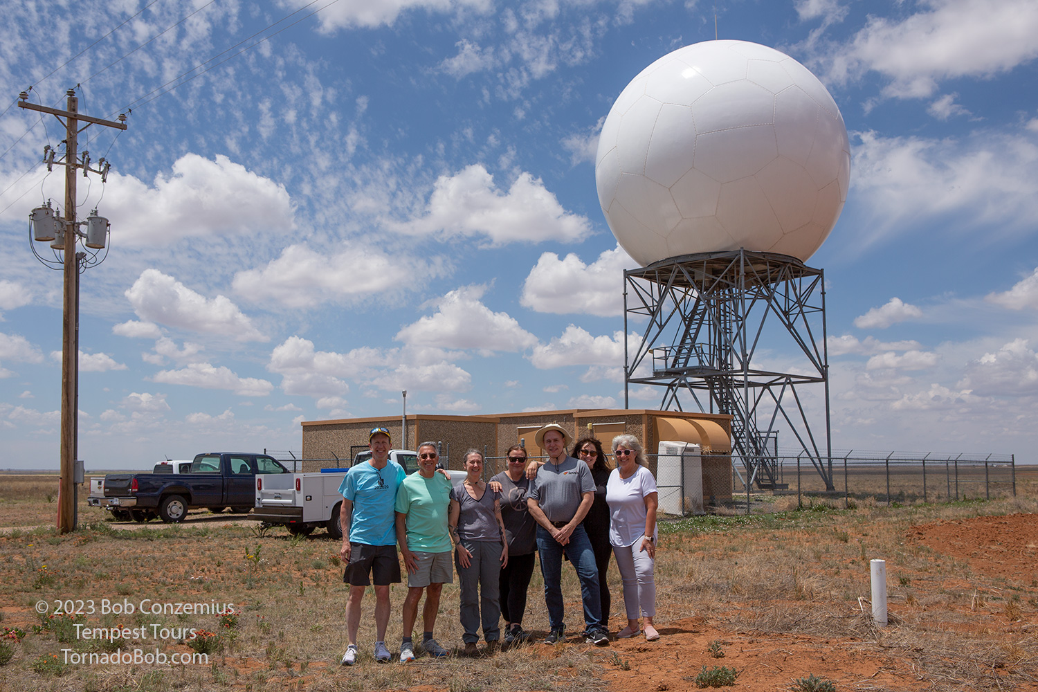 |
| Our group photo next to the broken KFDX radar (they were repairing it when we visted). |
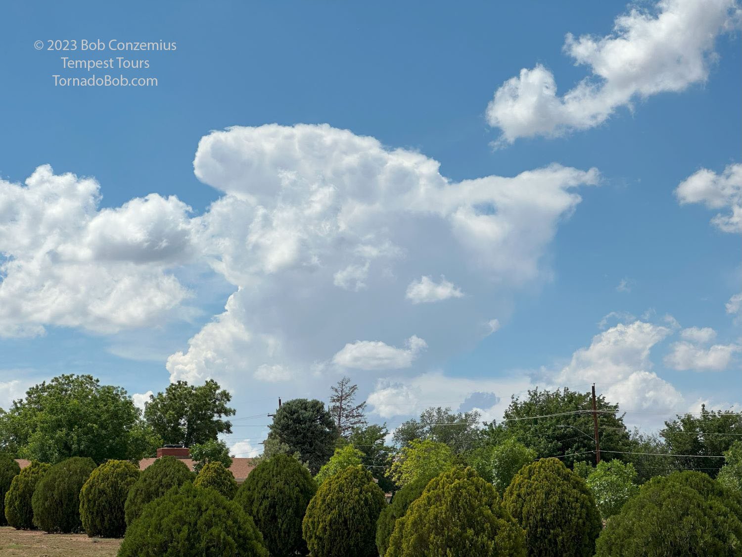 |
| Towers building west of Tucumcari. |
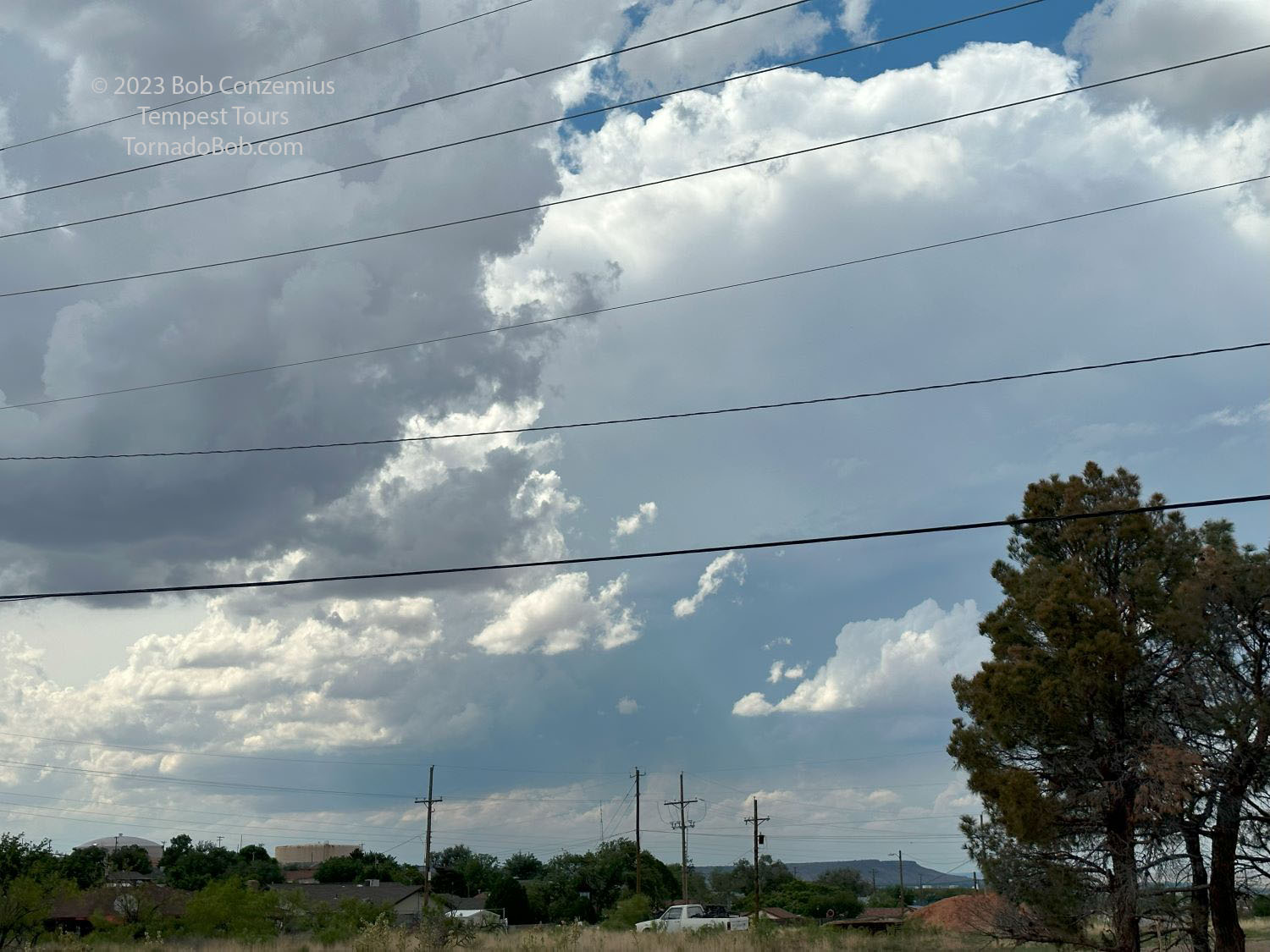 |
| First storms initiate as we wait in Tucumcari. |
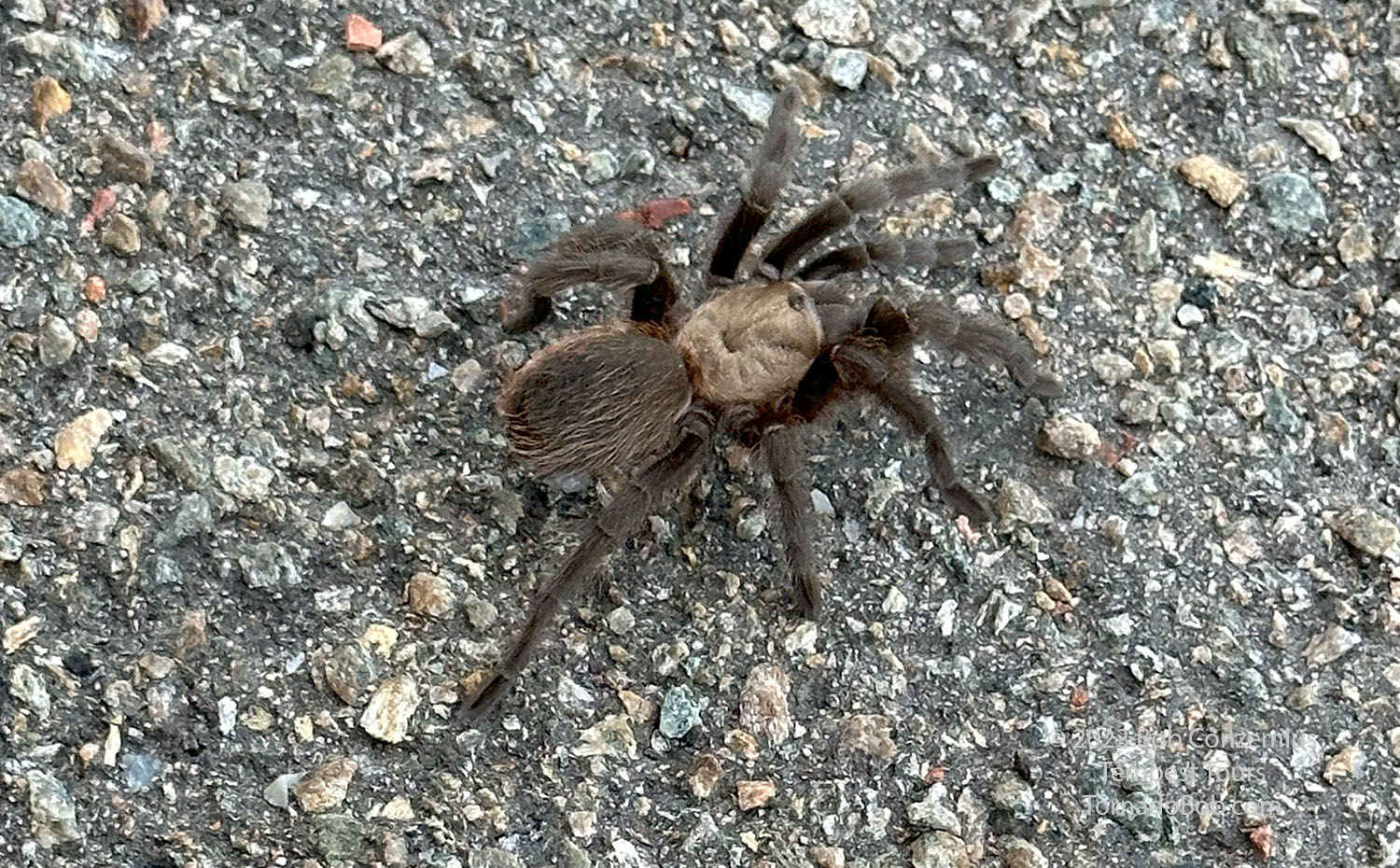 |
| A tarantula crosses the road as our storm develops. We helped it get across. |
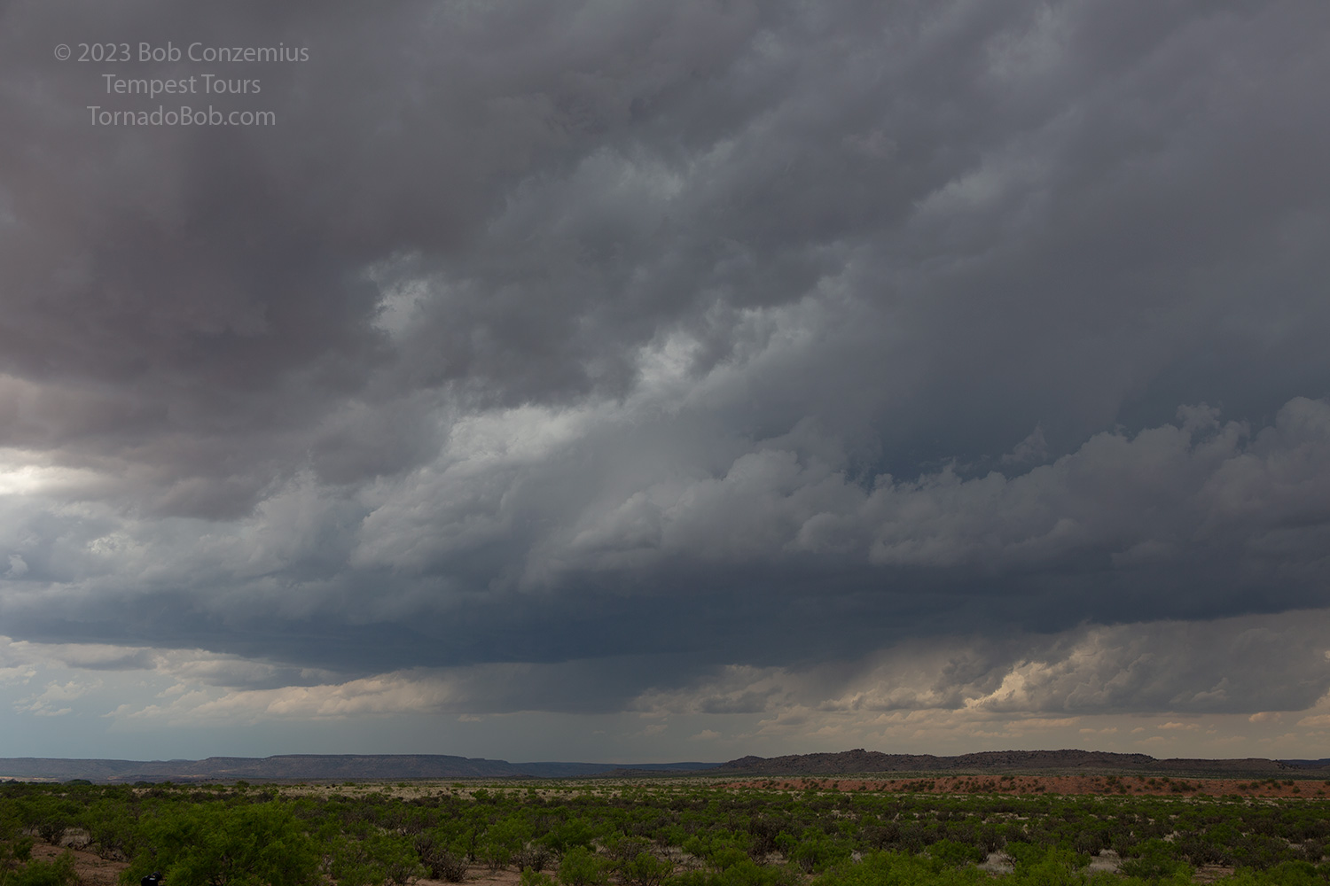 |
| Our storm develops just northwest of Tucumcari. |
 |
| Multiple updrafts make the initial storm type multicellular. That would change. |
 |
| A little farther east on U.S. 54 toward Logan. Still multiple updrafts. |
 |
| Looking south, there were new updrafts developing and merging into our storm. |
 |
| A capture with my iPhone. |
 |
| Radar showed the merger of storms from the southeast, but the main storm was about to really get its act together. |
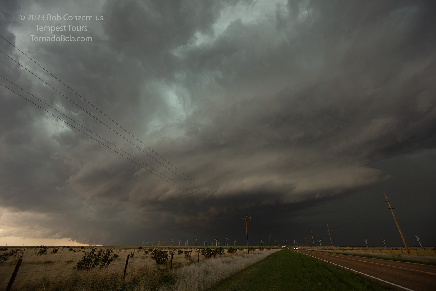 |
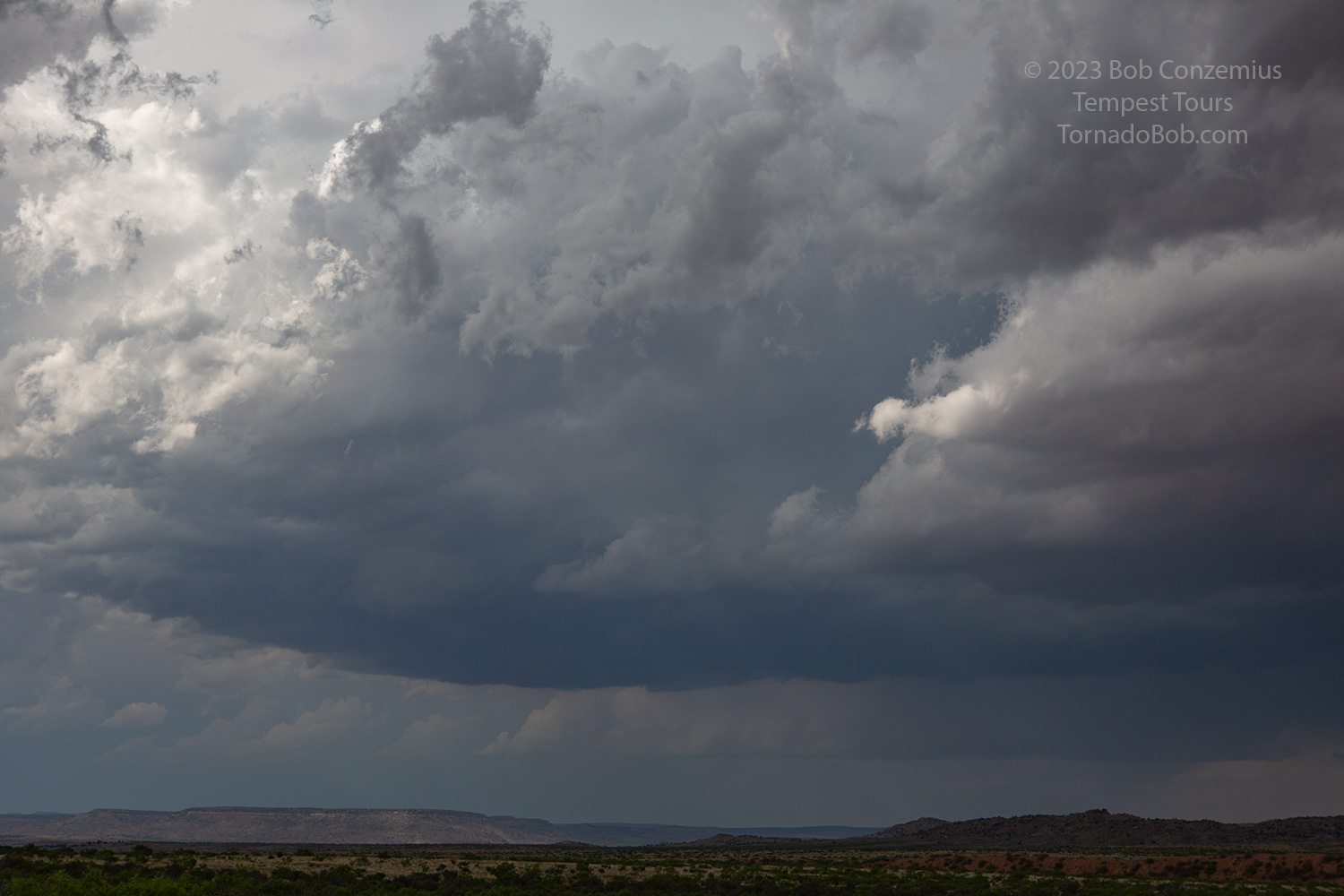
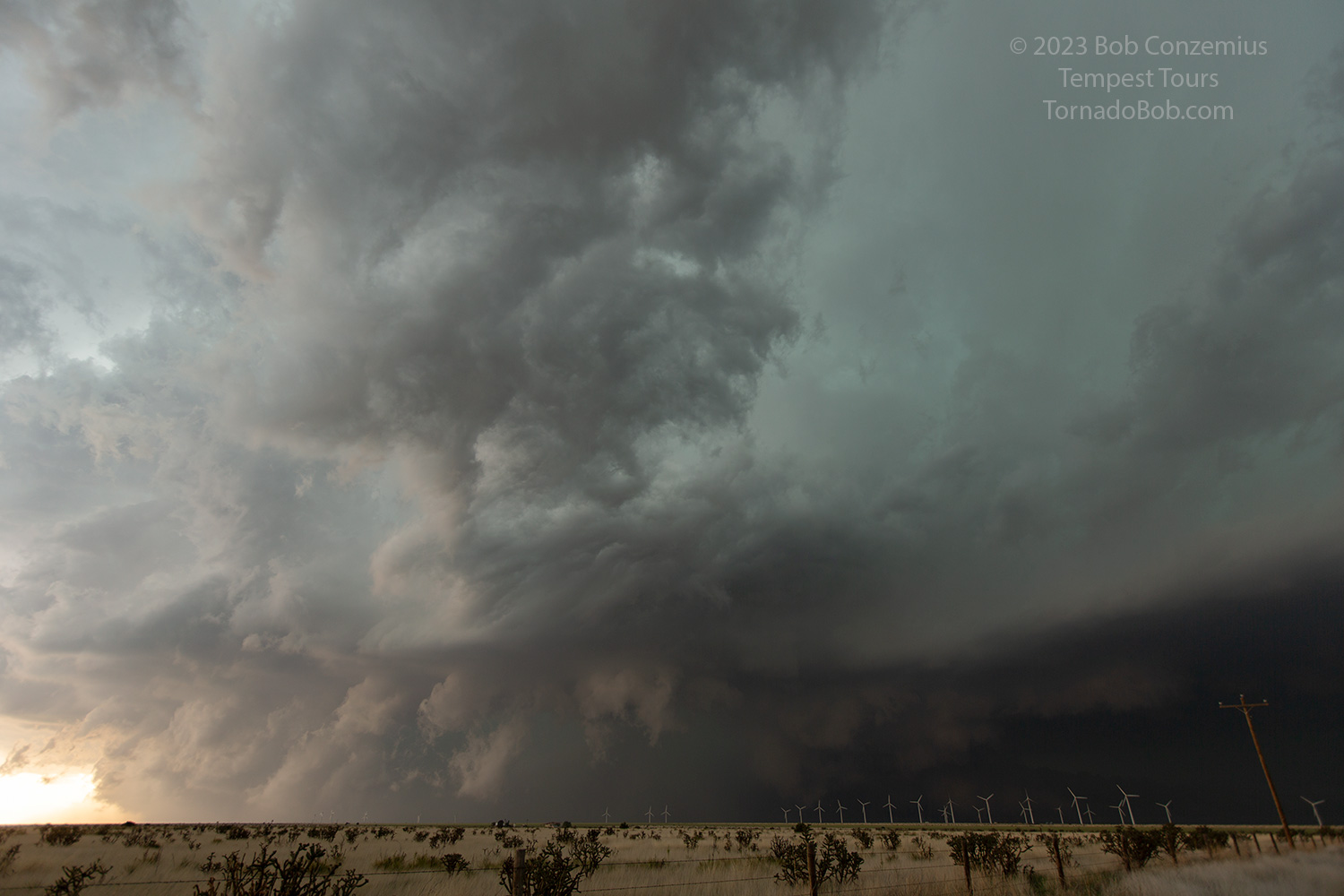
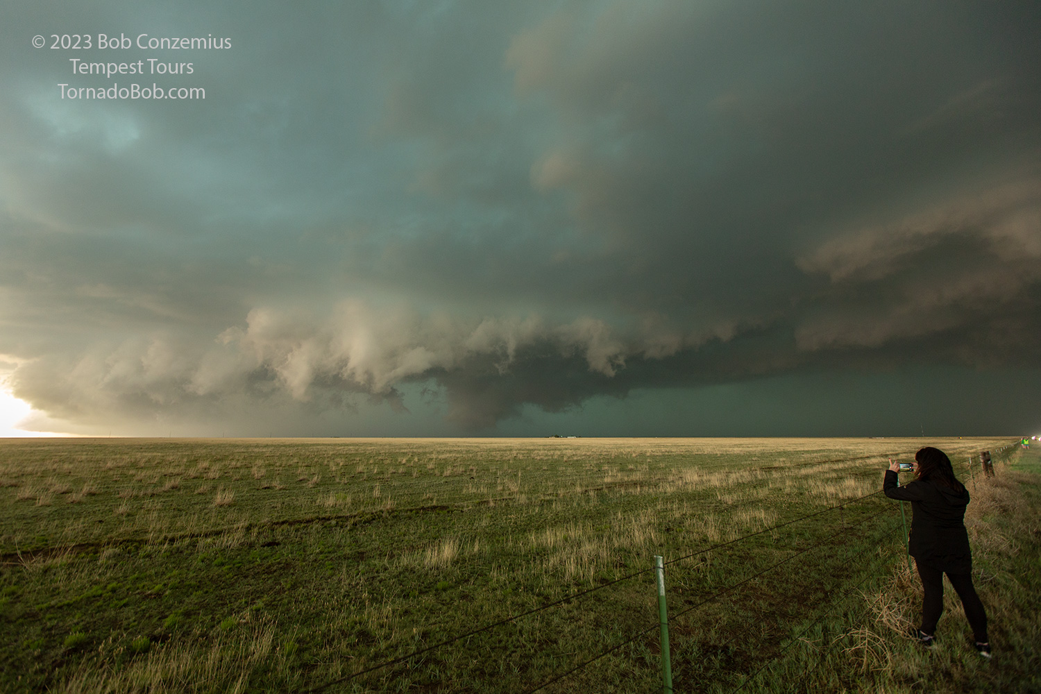
| Once we climbed the Caprock south of San Jon, the storm began to look a lot meaner. |
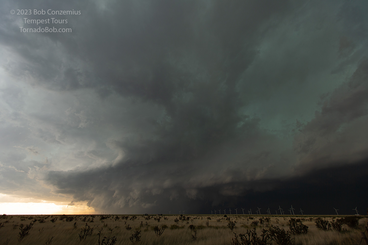 |
| A large mesocyclone is present on the west side of the storm. Clouds are rotating fairly quickly. |
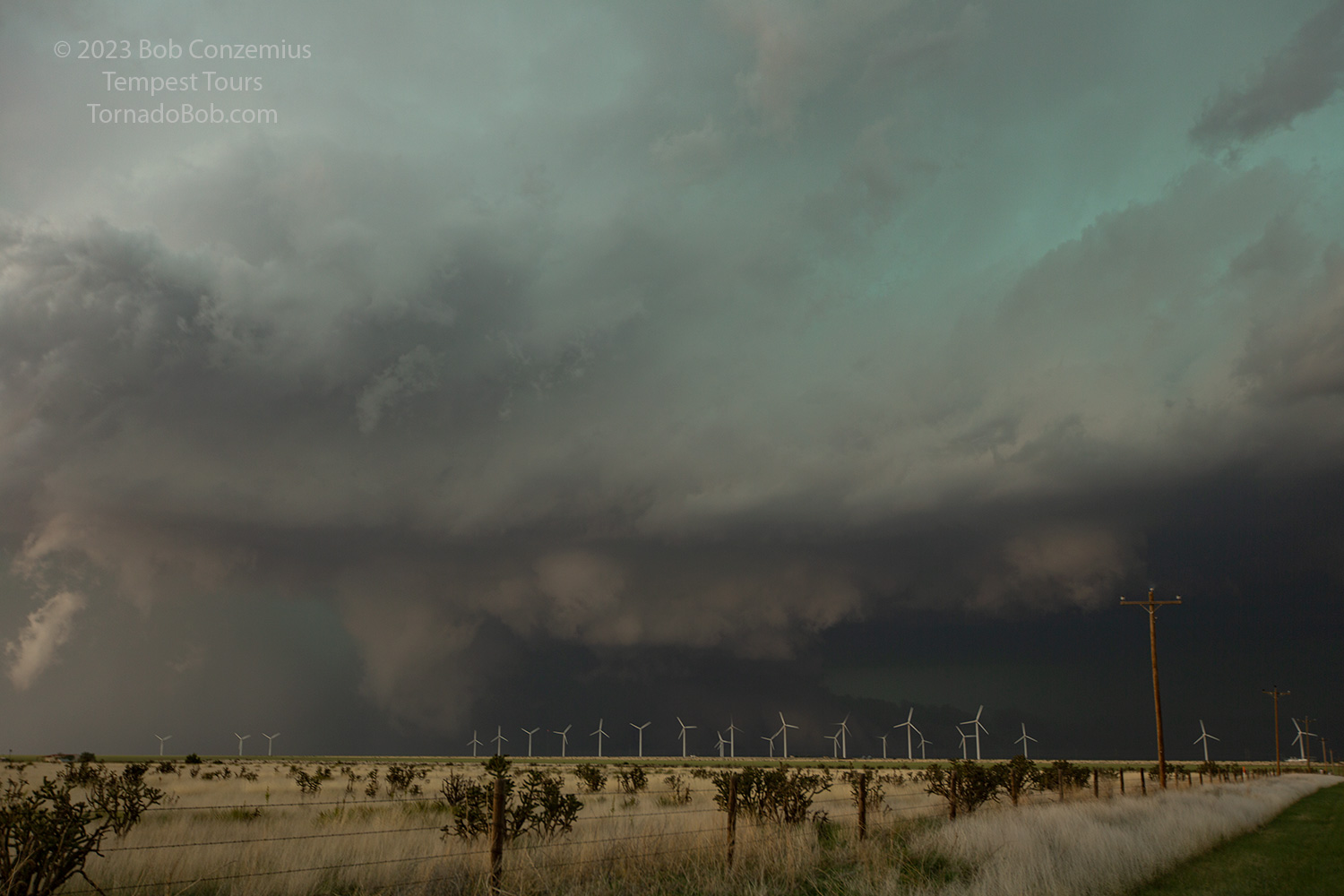 |
| Looking more north into the notch of the storm, there is a pronounced inflow tail. |
 |
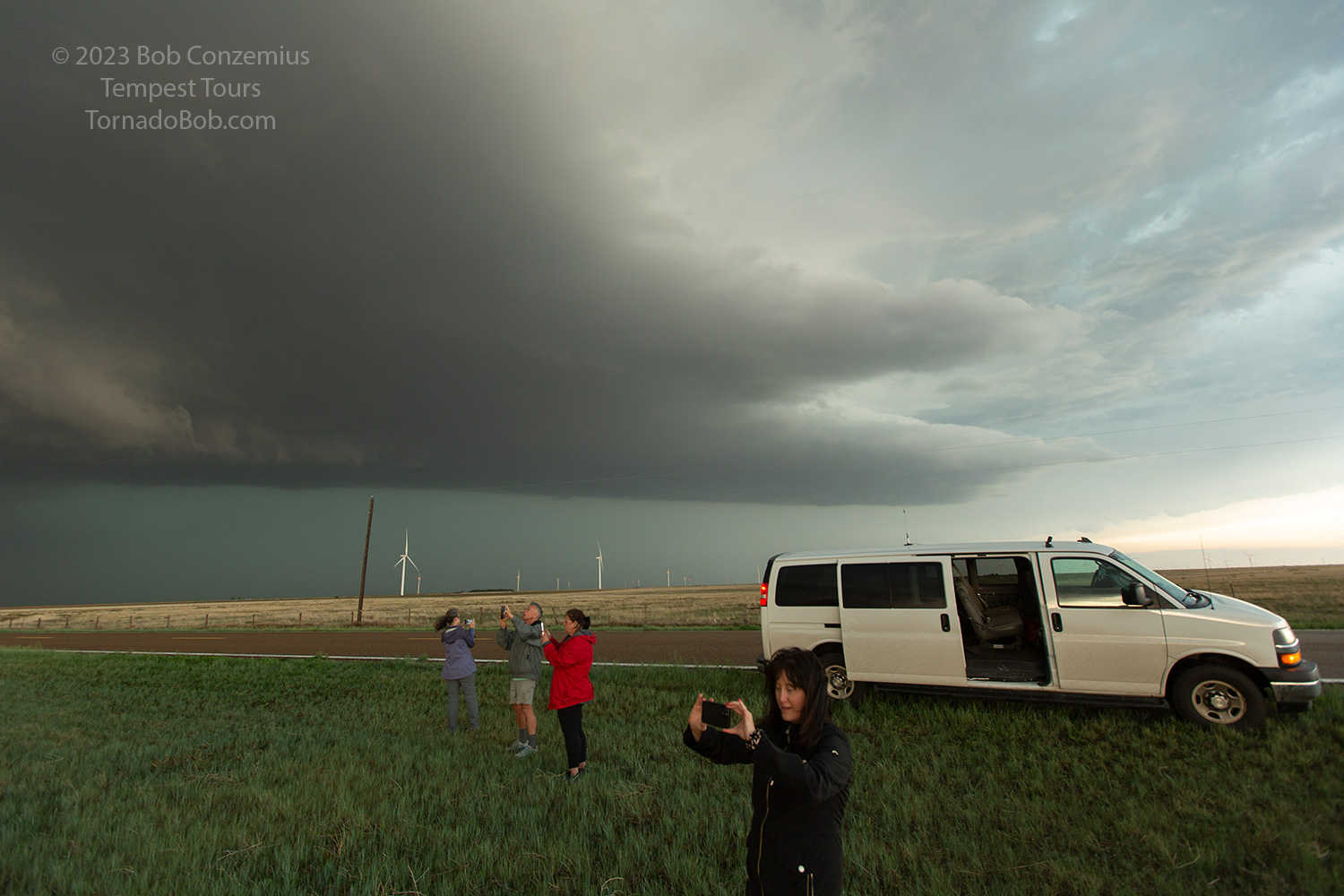
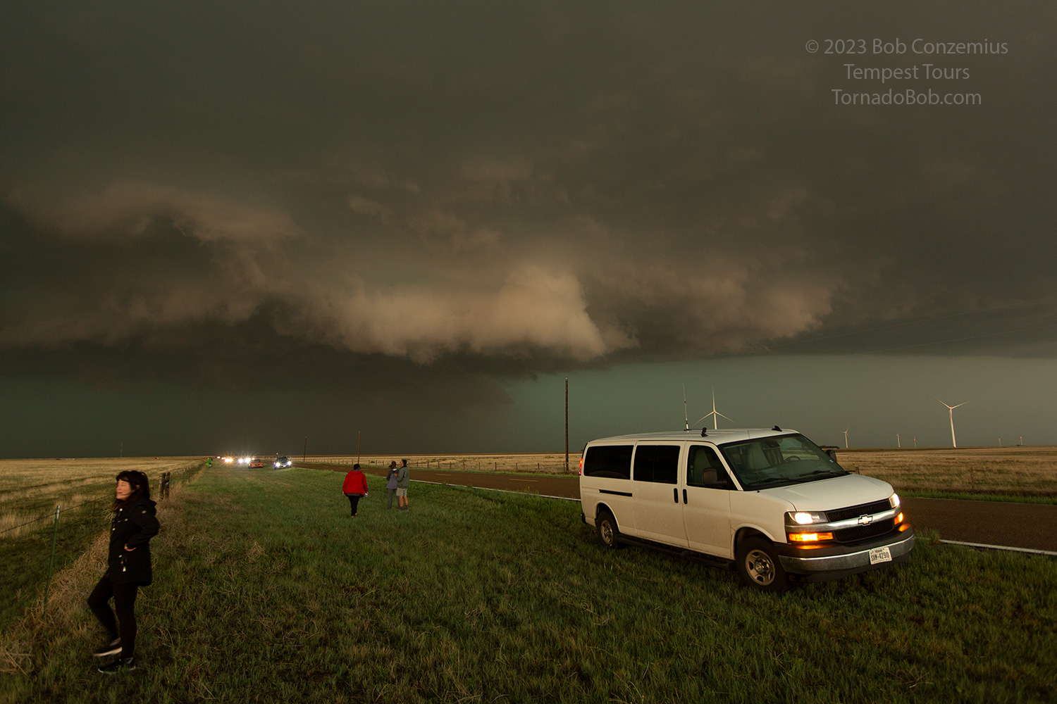
| We stood our ground as the mesocyclone drew closer. |
 |
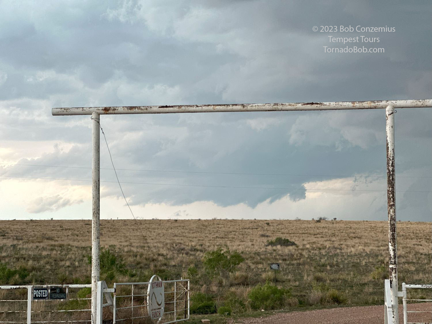
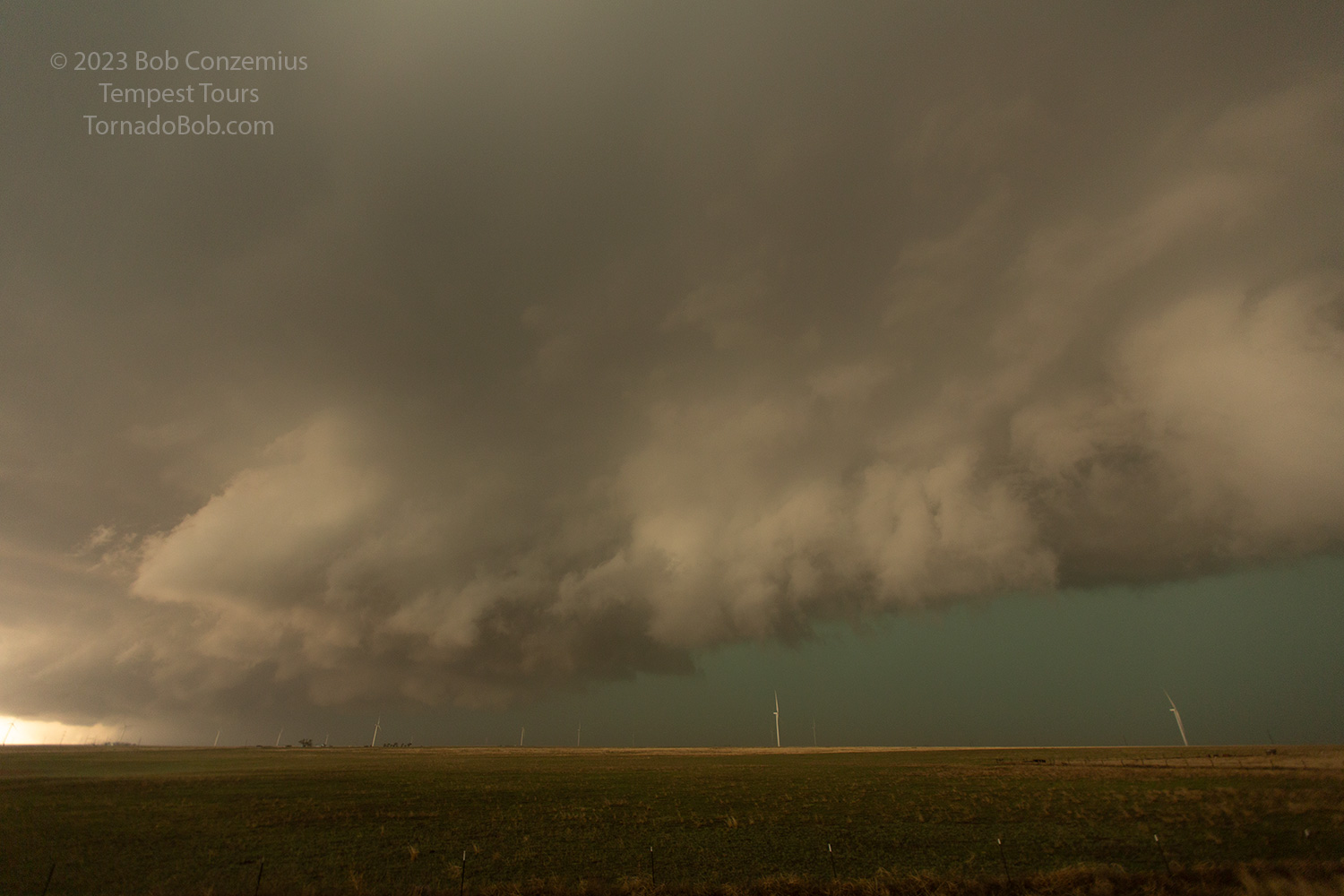
| Farther south, just north of Grady, a new area of rotation develops directly to our north. |
 |
| The inflow banding is now to our east. |
 |
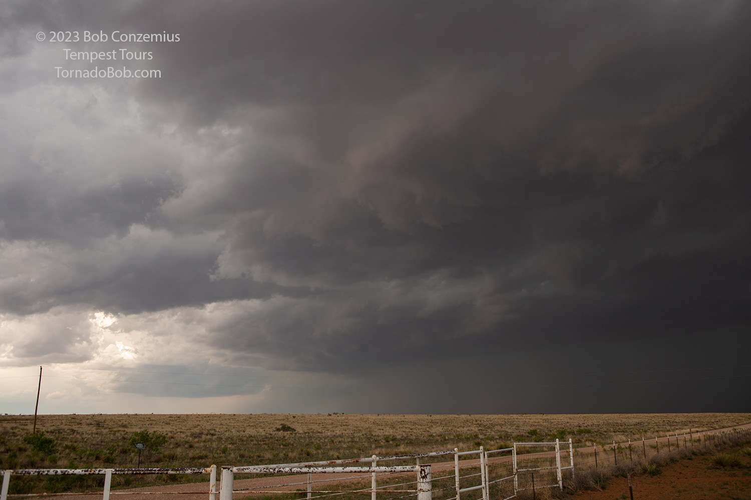
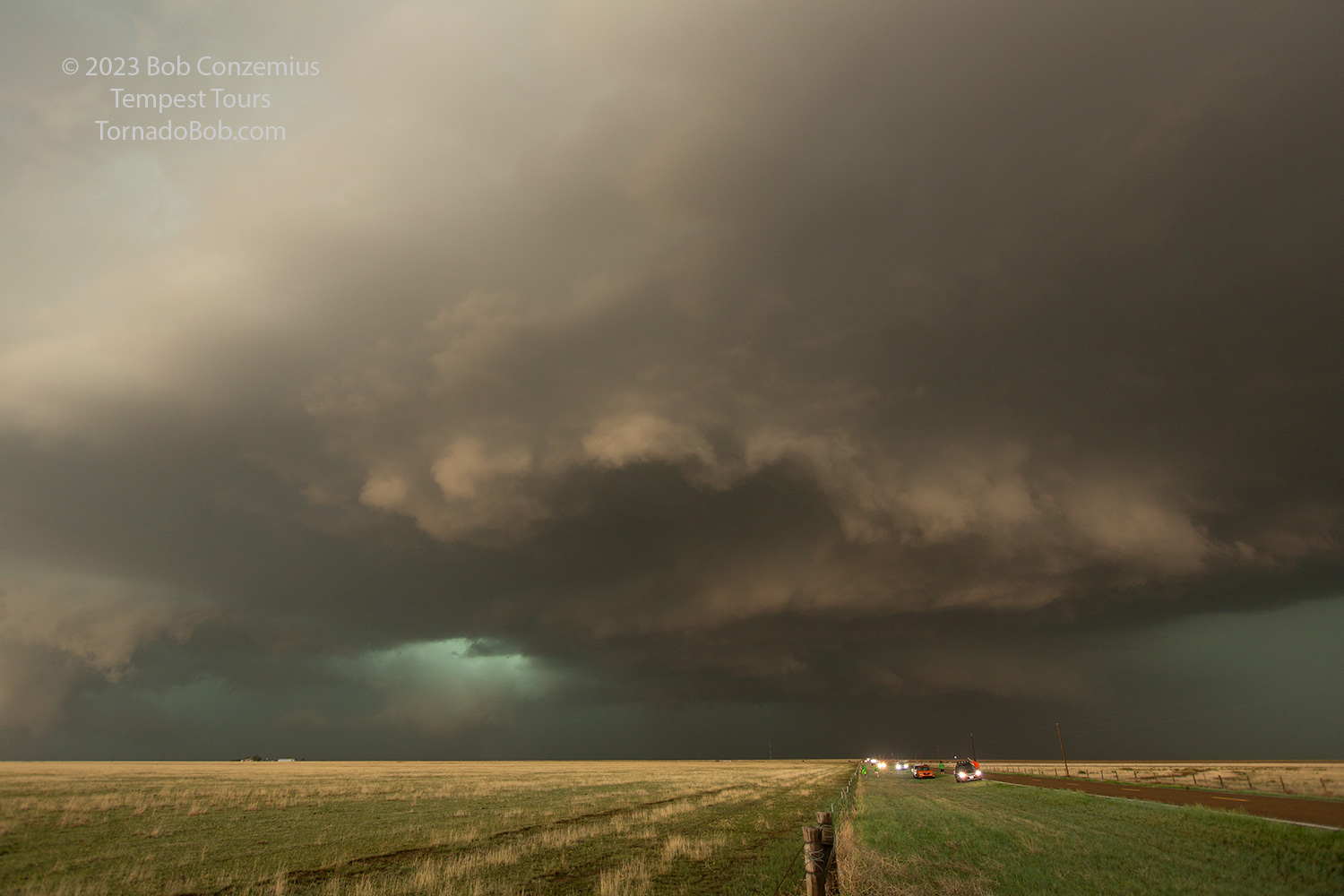
| The base is lowering and approaching more quickly. This is the mesocyclone that produced our visible tornado. |
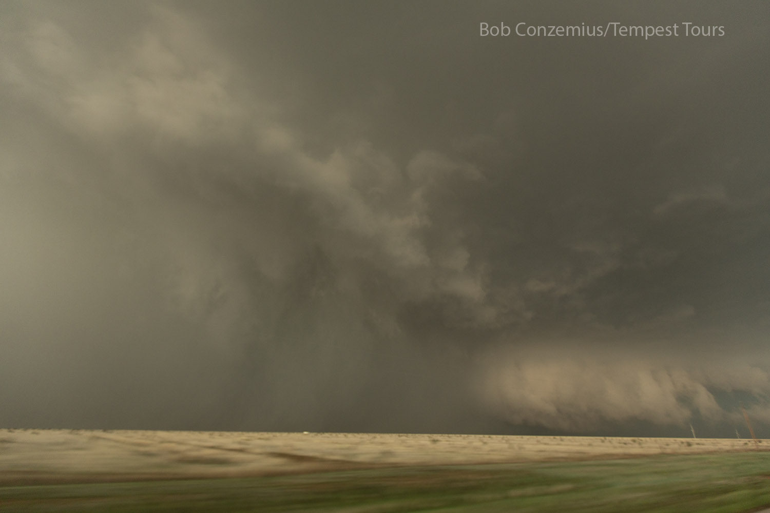
 |
| Meanwhile, a mesocyclone to the northwest has some strong rotation and a suspicious lowering. |
 |
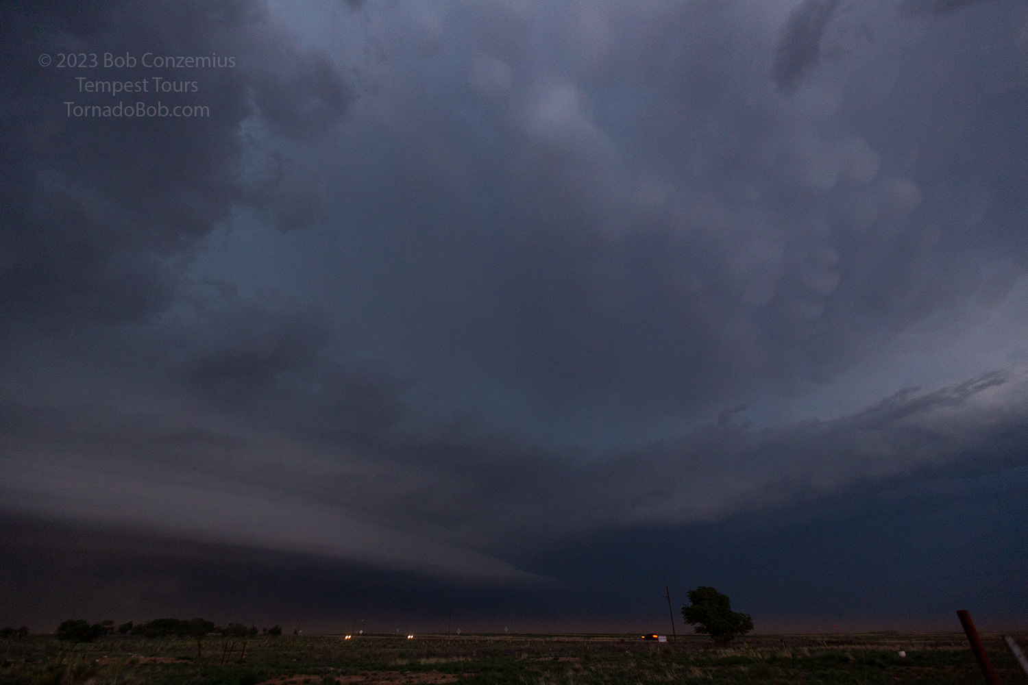
| After the brief tornado, this forward flank downdraft and weak shelf cloud started racing to the southwest. I was wondering why there was no tornado at this point. |
 |
| Tornadogenesis is in progress as the inflow band races southwest (right) while a rain-filled rear flank downdraft rotates outward toward us. |
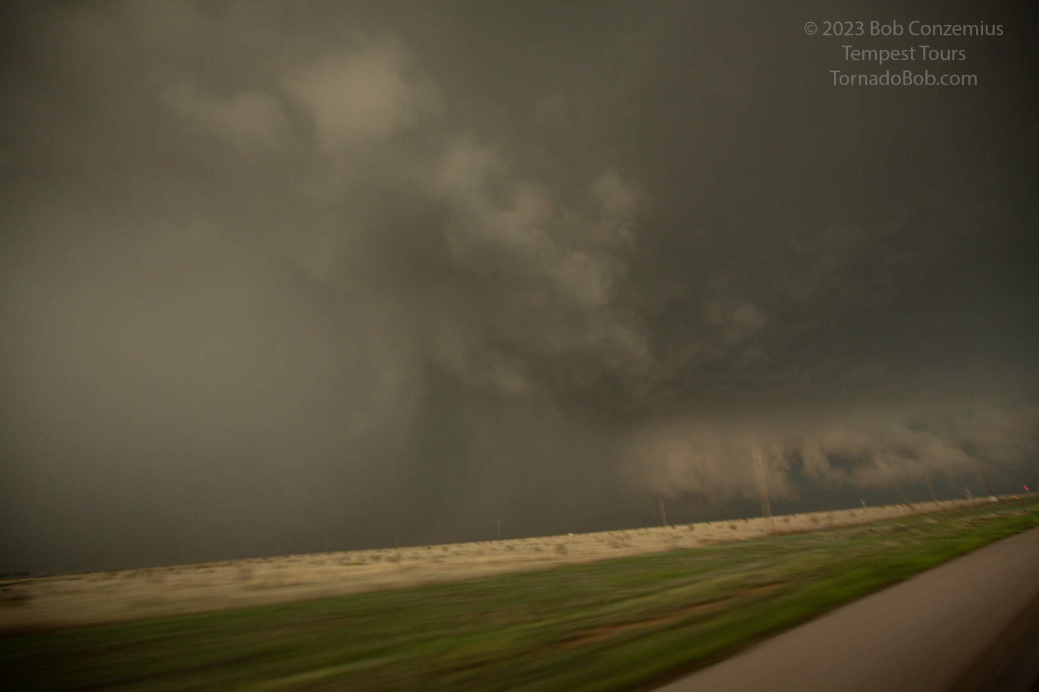 |
| Another shot as we race southward to get out of the way. |
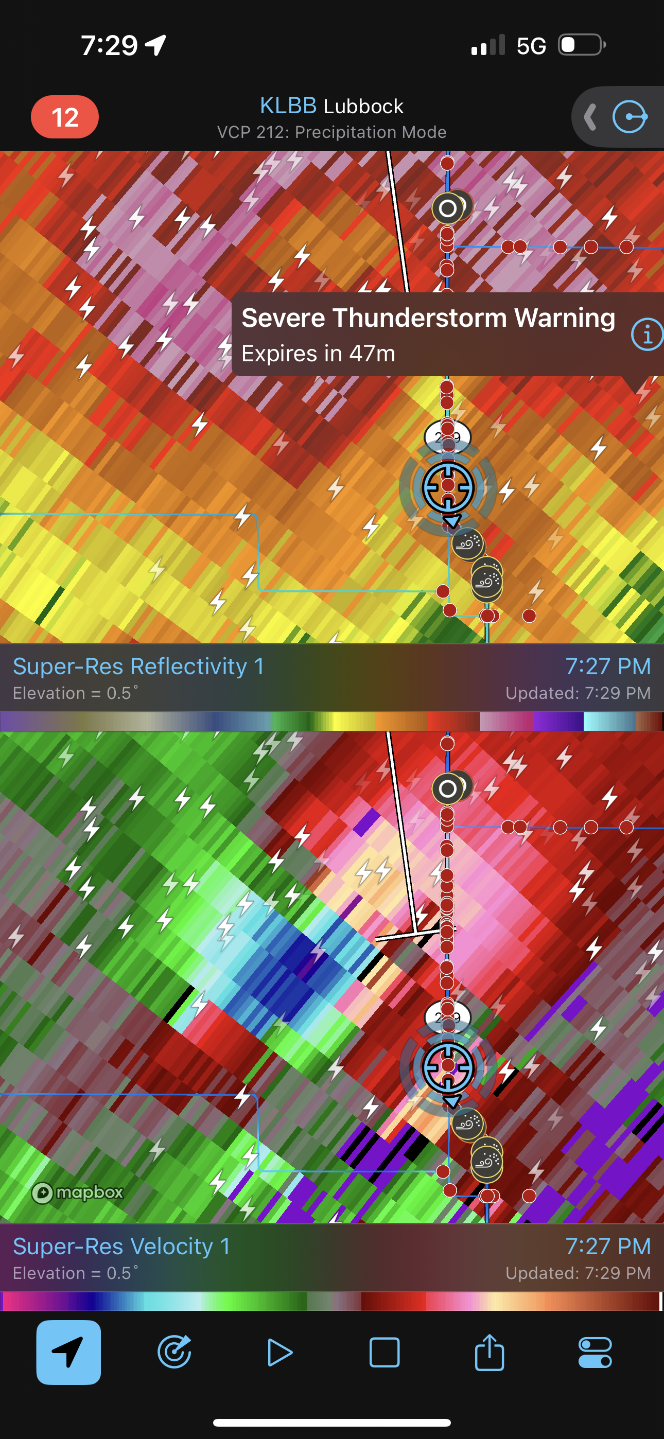 |
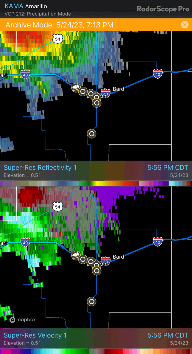
| Somewhere I did a screen capture of radar to show what we were trying to escape. |
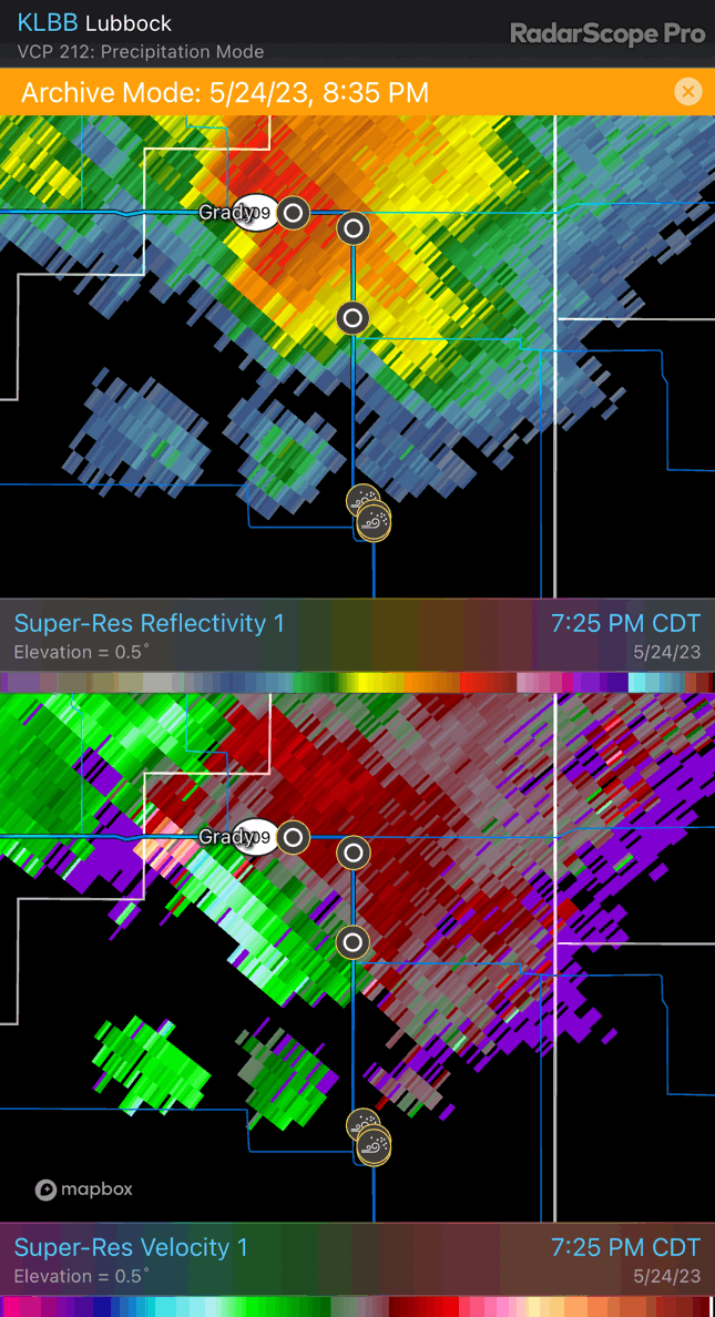 |
| Here's an animation of radar along this stretch of our chase. |
 |
| We drove south from Clovis toward Portales to avoid the large hail and high winds that hit Clovis. |
 |
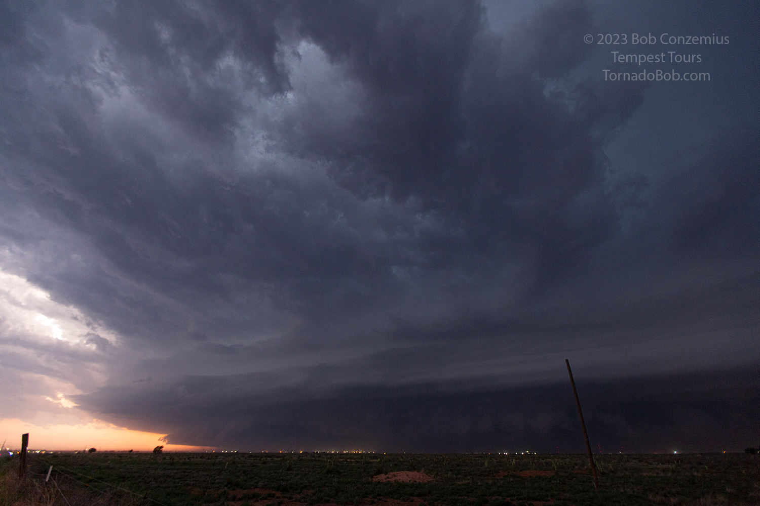
| Looking northeast toward the eastern part of the storm. |
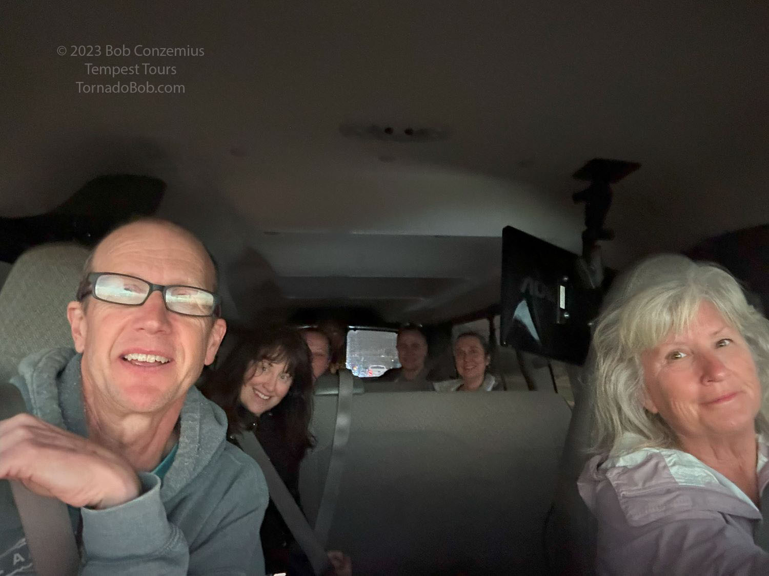 |
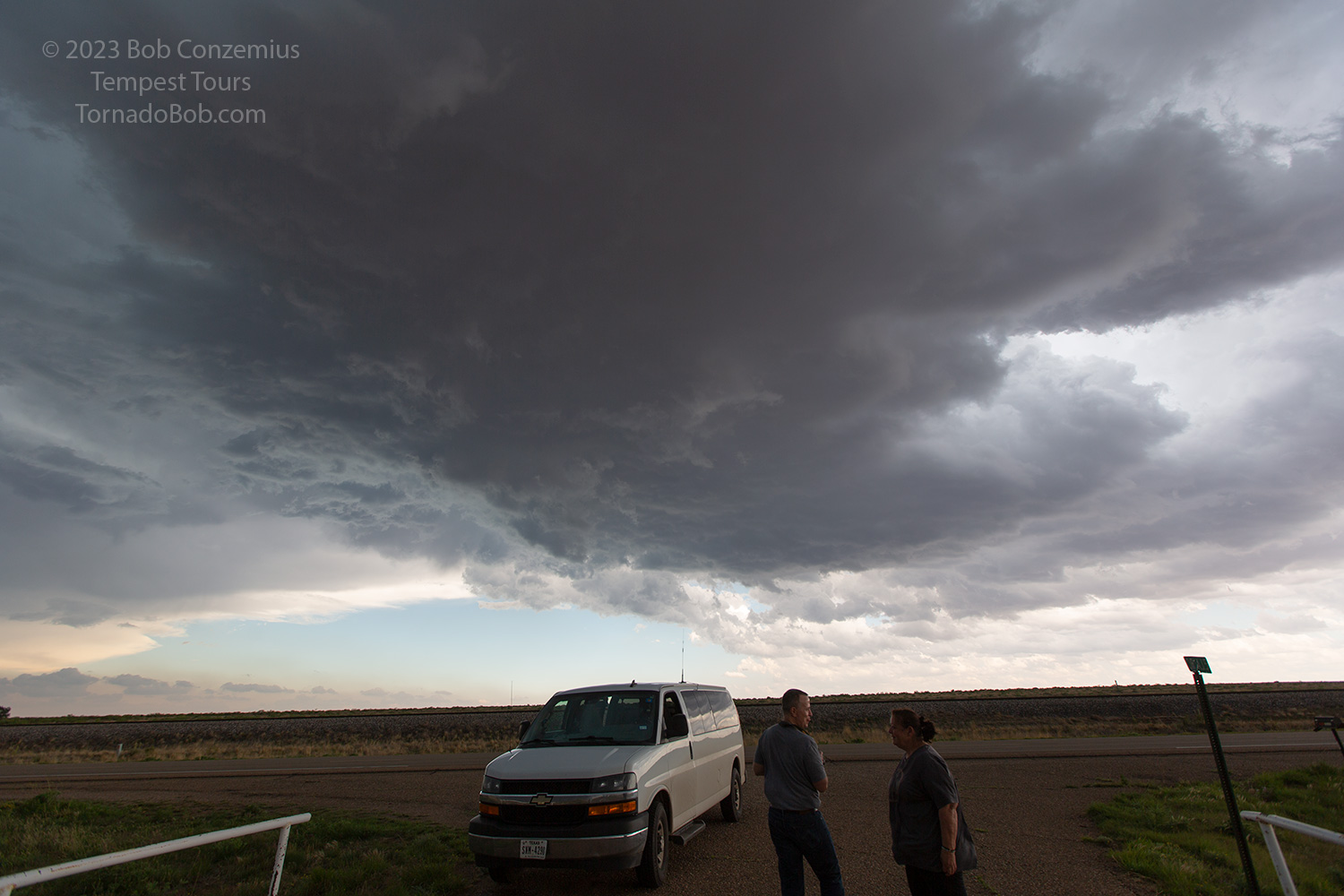
| The group in the van somewhere around the end of the day's chase. |
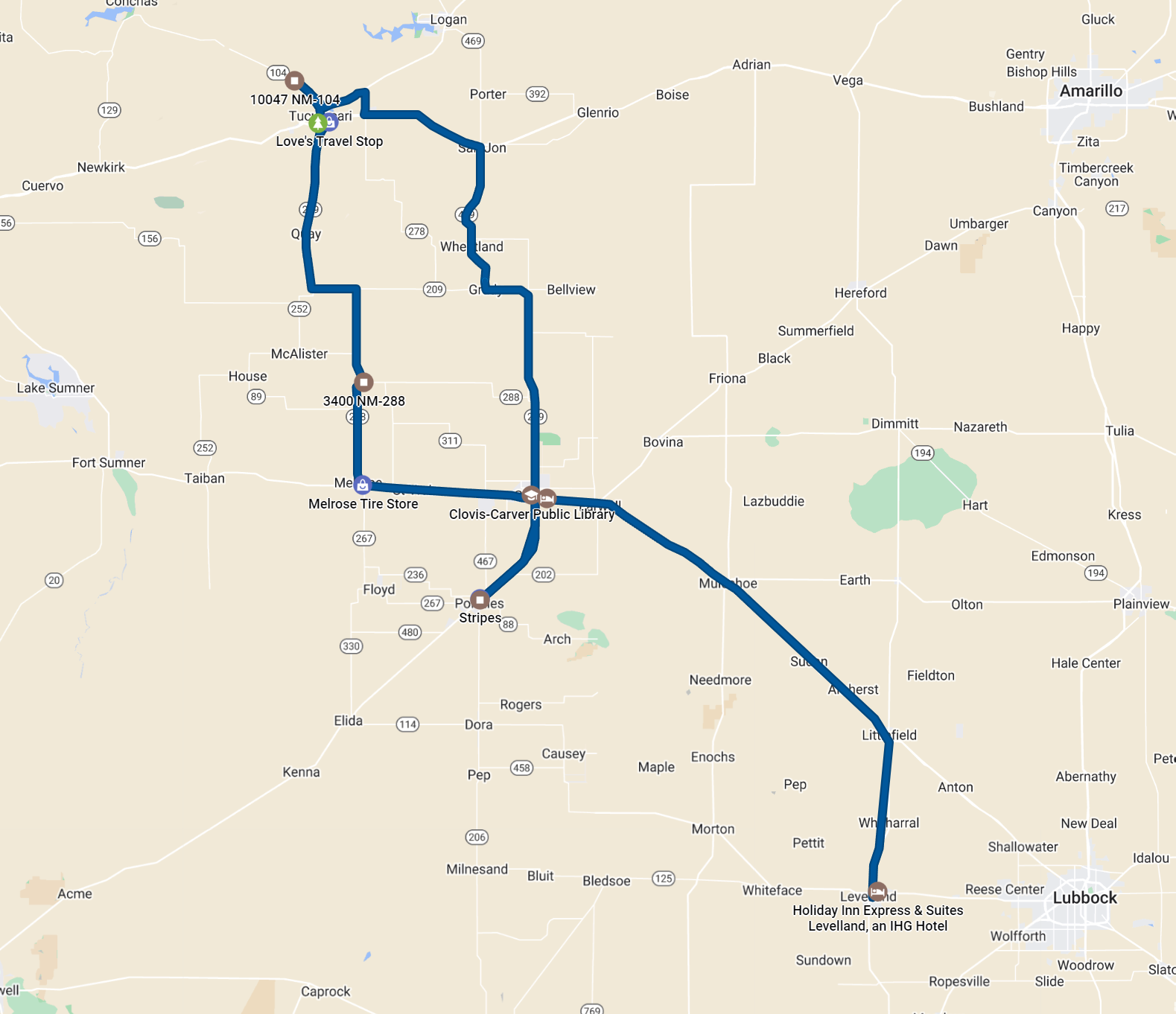 |
| Our route for the day. 304 miles. |
Back to Storm Chases | Home