My day started in Gainesville, TX, where I pulled over, looked at the sky, and downloaded data until it was clear that I should drift a bit west. The first storm developed near Wichita Falls and then must have backbuilt pretty hard to the southwest, because as I drove toward Wichita Falls, I noticed the anvil was originating from a point to my south. By the time I finally intercepted this landspout-producing storm, it was totally outflow-dominant with a non-photogenic shelf cloud. My still captures don't show anything special from this storm.
More storms developed off to my east, back in my original area just south of Gainesville. Since these were also backbuilding hard to the southwest, I decided to intercept them. These, too, were completely outflow dominant where I intercepted them just east of Denton. The northeasternmost cell in the line later produced a tornado, but I had bailed out on the line much earlier and decided to head for home. I would have never seen that tornado anyway, since I would usually not think to head northeast along a line of storms to find the tornado.
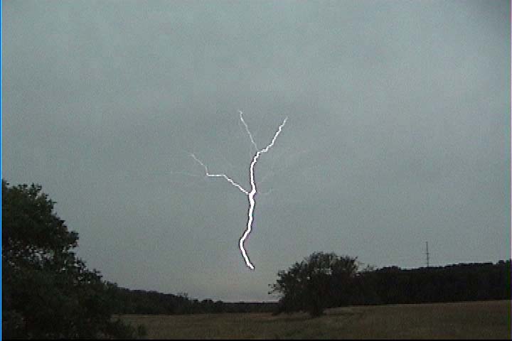
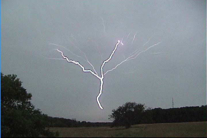
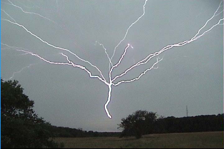
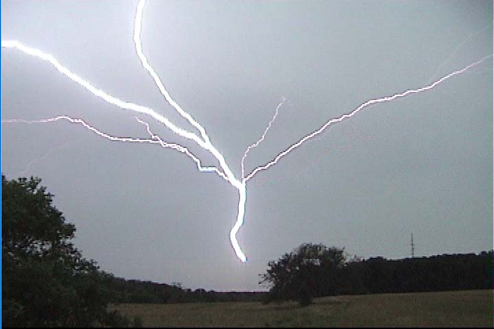
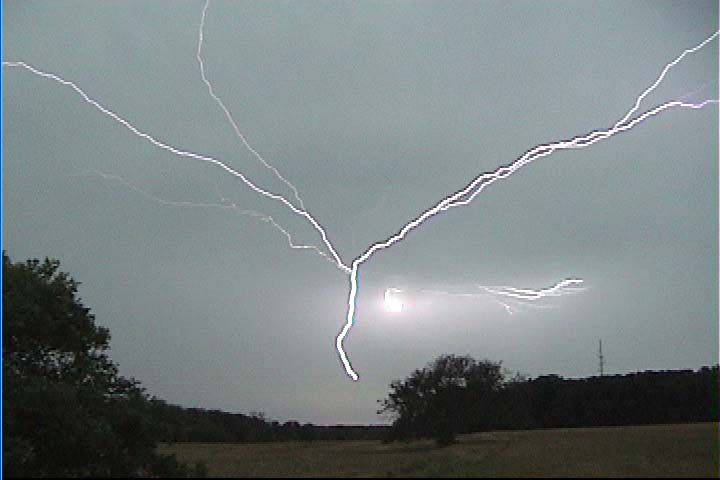
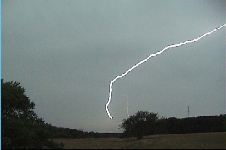
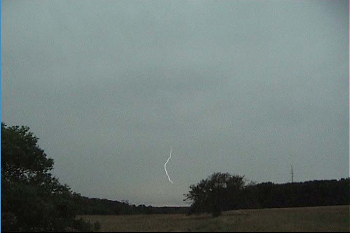
Starting on my long northward drive back to Minnesota, I noticed I was in a stratiform precipitation region, so I pulled onto a small country road off of US 82 between Whitesboro and Gainesville and pointed my camera south at the tower.