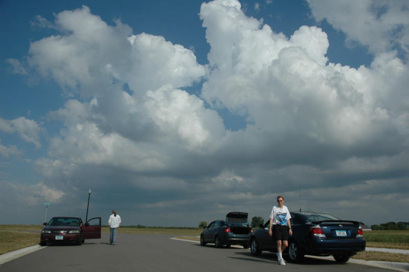
Shaun and Scott, just north of Kimball, watching initiation.
I had to be in the Twin Cities over the weekend for some family activities, so I headed south from Grand Rapids, but I also knew there was a cold front pushing slowly southward through Minnesota, and there was a slight risk of severe storms. I got a call from my friends Scott and Shaun on the way down, and they informed me they were heading northwest toward St. Cloud, so I decided "what the heck" and decided to join them. I turned southwest at Mora and soon saw some towering cumulus ahead of me over the St. Cloud vicinity, but these initial attempts at convective initiation soon died. As the cold front was still sinking southward, we drifted south with it and stopped near Kimball. It was there that the towering cumulus over our heads finally had enough forcing to grow into thunderstorms. It's been a while since I've been that close to convective initiation. It's always a treat when you can drive to an area where you think storms will initiate, and that's exactly where they do! Often, I'm off by more than 50 miles, or storms may not initiate at all. The storm quickly grew into a multicell line but leaning toward the supercell end of the thunderstorm spectrum.
We continued southeast with the cell until about Hamburg, when the main bulk of the complex headed into the Twin Cities, and darkness was approaching. After nearly calling it quits, we proceeded southeast to Belle Plaine, taking lightning video along the way.
Shaun and Scott, just north of Kimball, watching initiation.
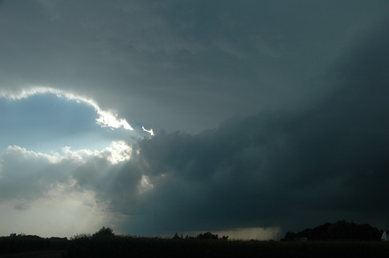
Storm near Cokato, MN.
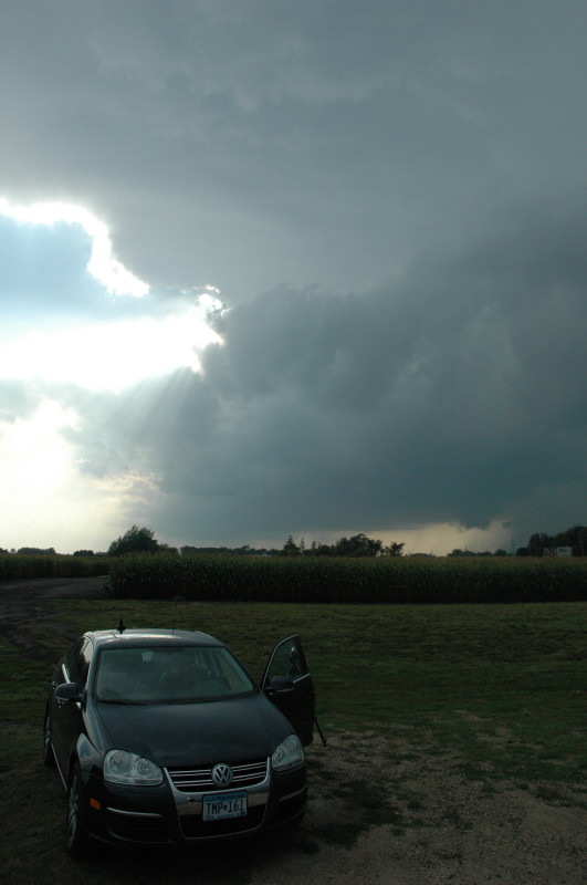
Storm and the Sturmjaeger.
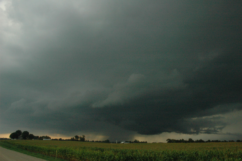
Near Winsted, the storm produces a wall cloud type feature above outflow.
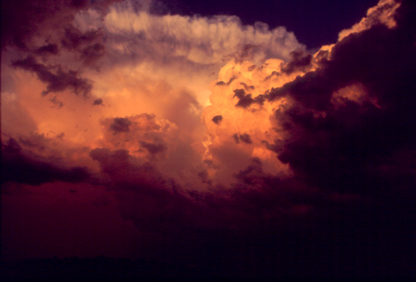
Here's a shot from near Hamburg at sunset.
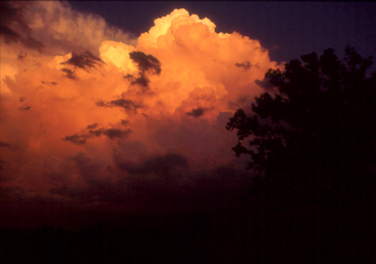
Sunset 2
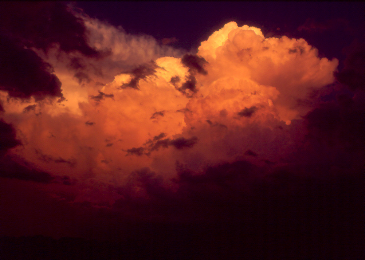
Sunset 3