May 20, 2020 Storms
Wyoming and Colorado
Click here to see Bill Reid's summary of the chase.
After our second night in a row at the Best Western Plus Frontier Inn, and our second consecutive breakfast at the Village Idiot, we began driving north on I-25 to a 5% tornado threat area in central/northeast Wyoming. The parameters looked better than they had for several days, and there was a somewhat better chance for some supercells than there was the day before. Our target area was not far from Douglas.
The storms developed relatively early, and that gave us a bit of a long chase day (nice to have that)! Towering cumulus developed quickly as we drove north on I-25, and soon we had a storm. This first storm became somewhat linear and lost its strength, but others soon came up behind it, and they looked a bit more interesting. One developed a nice, bowl-shaped lowering and a persistent wall cloud as it approached us from far to the southwest. It may even have produced a funnel at one point, but it was a bit too far away to ascertain whether it was one or not.
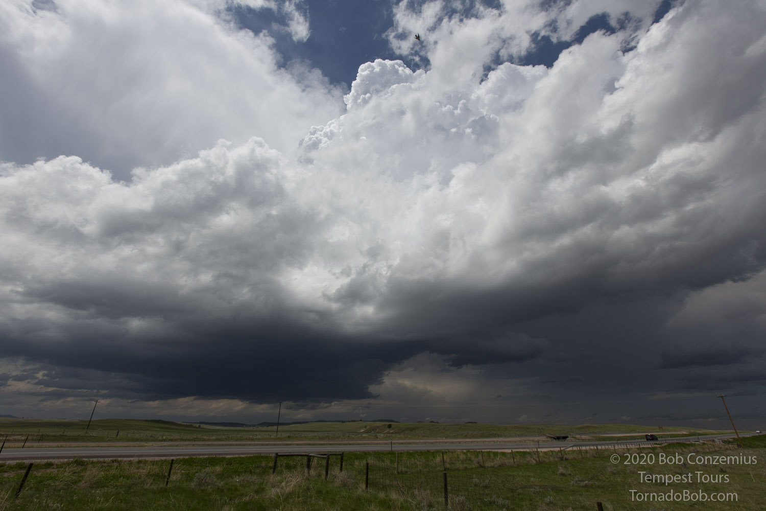 |
| The first storm of the day at an exit right off I-25. |
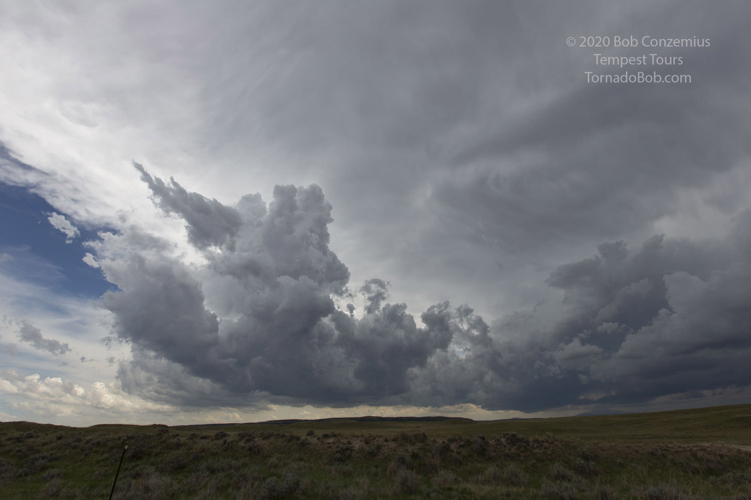 |
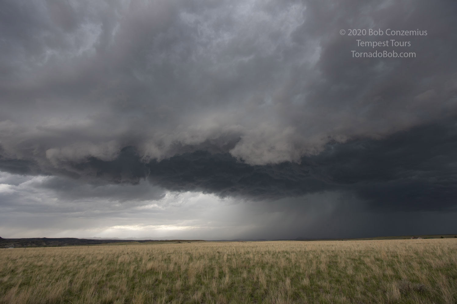
| The second storm has a bowl-shaped base in the distance. |
 |
| The second storm develops a pronounced wall cloud, RFD cut, and maybe a funnel. |
 |
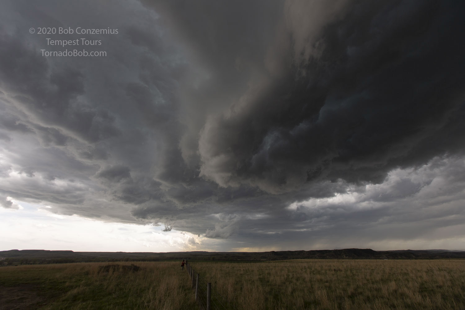
| The wall cloud appears to occlude and lose connection to the updraft. |
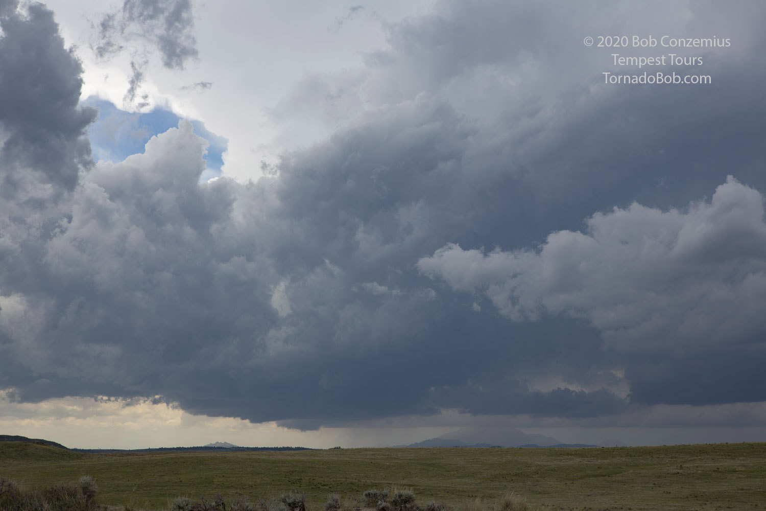
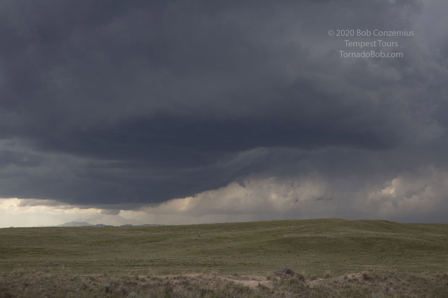
This first storm became a bit less interesting as it approached us, so we let it go and targeted additional storms to our west. These had a bit more of a linear look, but they were stronger and more persistent. We had a fairly decent updraft base to our west, and a second, more lowered base approached from the southwest. For a few minutes, it looked like it could be producing a large wall cloud, but as the storm came closer, it had the look of being undercut by cold outflow. I've seen numerous storms give that look at a distance only to reveal the action area was driven by an expanding cold pool and had no tornado potential.
Meanwhile, the base to our west and northwest produced some rotating wall clouds for a few minutes that got me rather excited (but apparently, those who knew better did not get as excited). These items did not produce tornadoes or funnels.
 |
| This is the text that appears underneath the picture. |
 |
| This is the text that appears underneath the picture. |
The whole complex began to gust out and look a bit less interesting, so we decided to drop south to play with any tail end storm. However, it quickly became clear that the whole complex was just a gusting, linear mess. Bill made the decision to abandon these storms and target late day development in a separate area in northeastern Colorado. We did a pit stop at a rest area on I-25 then drove east on I-80 for a bit. As we came through Cheyenne, we observed a pretty nice dust devil or gustnado along the wind shift line. This same wind shift would be the focus for storm development in Colorado. The convection-allowing models showed some potential for supercell storms.
 |
| Looking back north from the I-25 rest stop toward the southern end of our early day storms. |
These storms were maybe a bit slow to develop, and they were a bit more linear than the CAMs predicted. However, the sharp wind shift line was still there, and it provided a chance for some spin-ups. I just was not seeing anything interesting, though. As it turns out, there was a tornado reported a bit farther west and out of our field of view-- very much at the westernmost possible extent of the storms. Our view was obscured by rain, which might have been partly sun-illuminated, reducing the contrast for any funnel that may have occurred. Video of the event showed mostly a dust tube in bright sunshine, likely displaced from the storms by a bit of outflow.
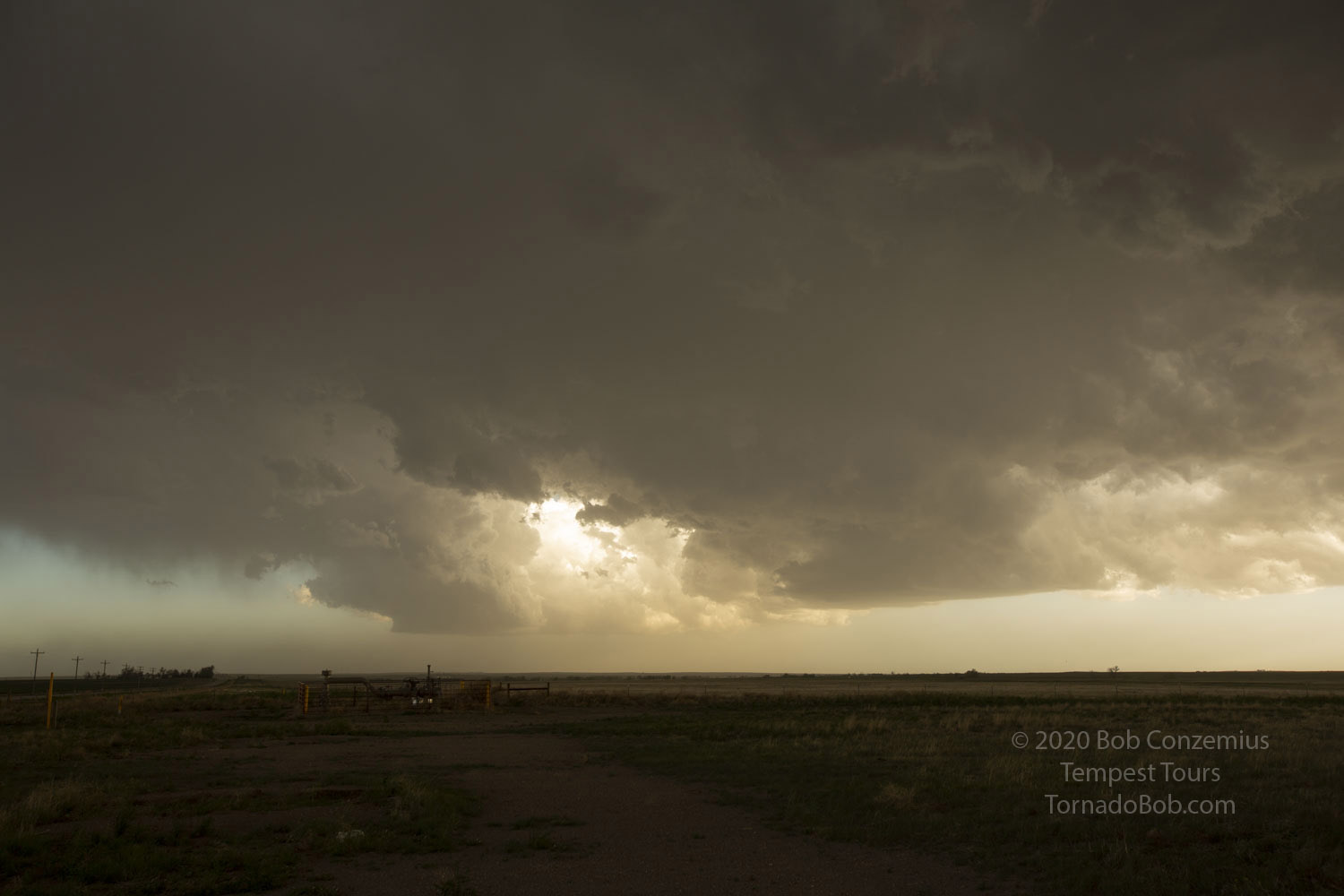 |
| The more discrete of the late day cells-- not paricularly strong. |
Anyway, we stayed with these cells until after sunset. They slowly strengthened and rewarded us with a wonderful lightning show. We actually played these cells a little too close, and it would have been good to back off to the east a bit in order to predictably capture the best lightning flashes, but it was fun having a few very close strikes (we stayed inside the van, for the most part). We drove east to Sterling to spend the night.
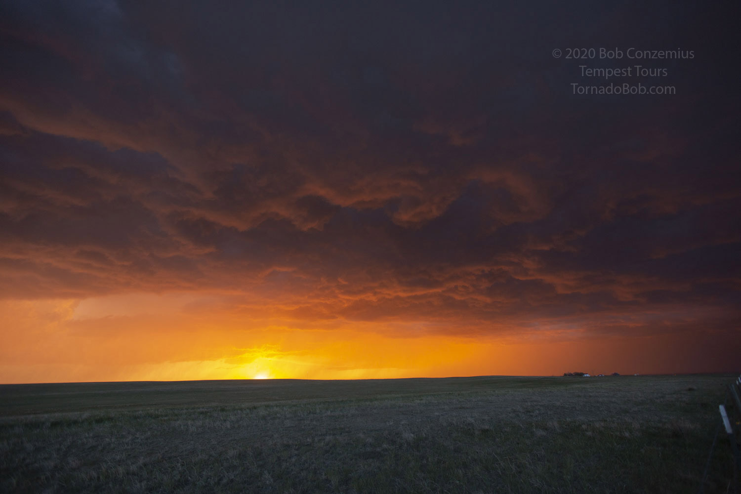 |
| The setting sun illuminates the updraft base. |
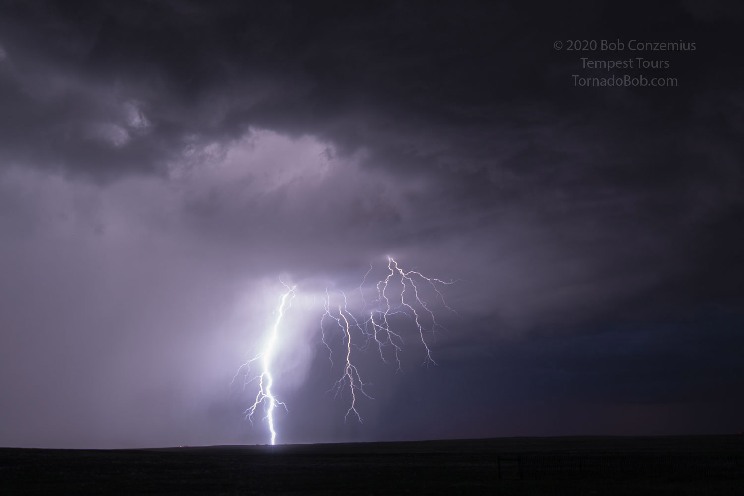 |
| Some nice cloud to ground lightning was the best part of the chase. |
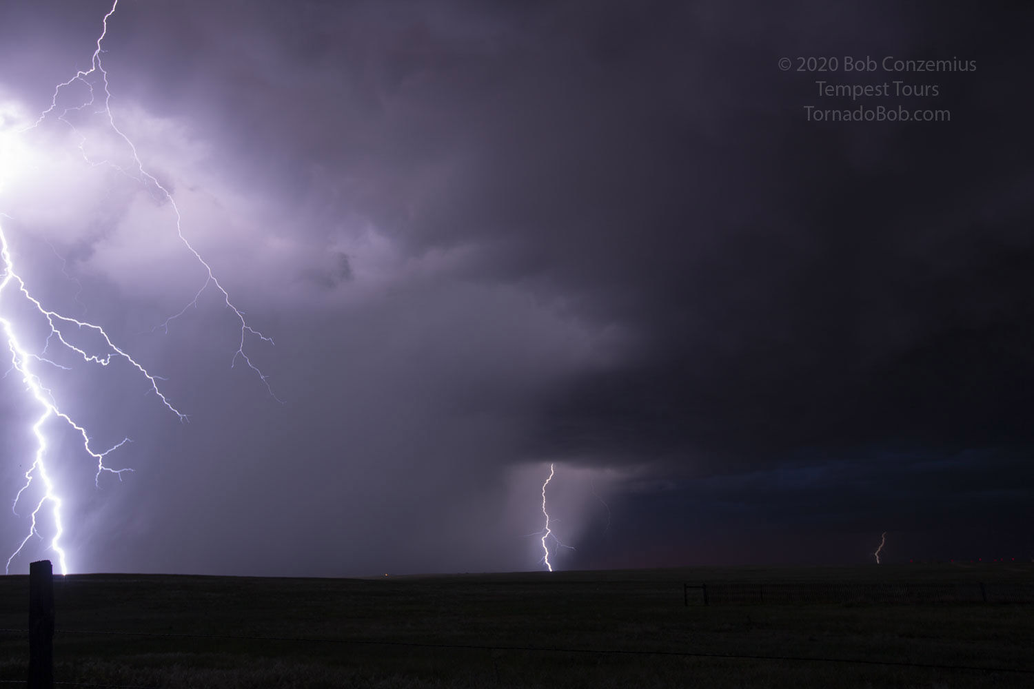 |
| The best lightning flash of the evening for me was right at the edge of the picture. |
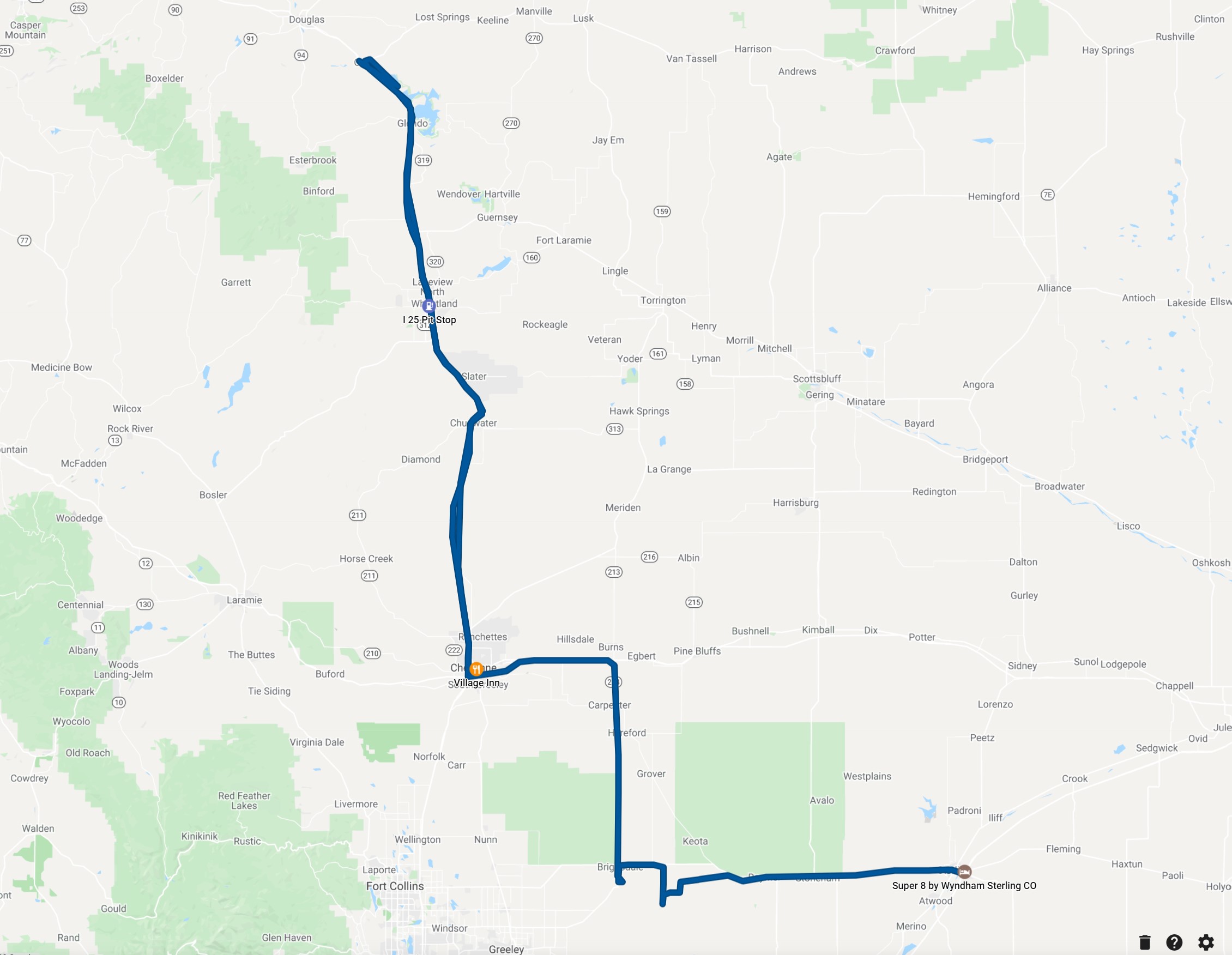 |
| We drove 406 miles. |
Back to Storm Chases | Home