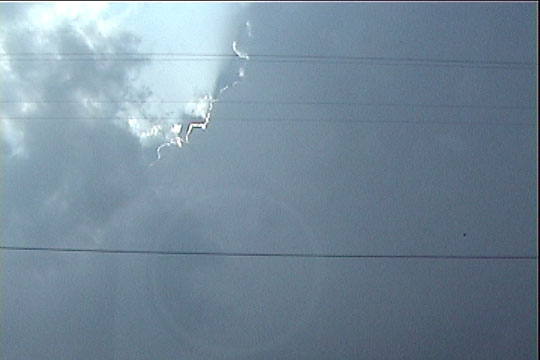
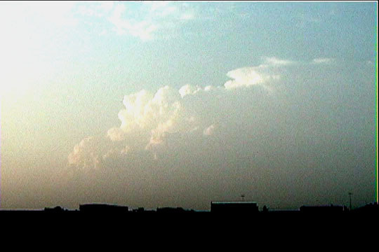
Towering cumulus immediately before initiation of convection.
This was the last really frustrating chase of this week. We pre-deployed to Salina, KS the night before, which seemed like a reasonable move, except for the fact that nocturnal tornadic supercells developed over southern OK, making it feel as if we were running away from storms rather than targeting them. I felt somewhat stupid since the conditions did look favorable for this (both in observations and model progs), but no one really thinks about chasing at night (which is theoretically possible with mobile radar), I didn't sound any alarms to anyone about it, and we were really busy with logistical issues and finishing up term papers, so we were left without significant time to seriously consider sticking around to target these late storms. Who knows. Maybe we would have been too tired to chase the next day had we stayed up late enough to deploy on them.
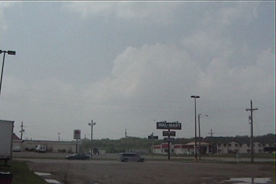
Again, prognosticated storm motions were northeast at 50 mph, which is nearly impossible for a good radar deployment, but I suppose you have to take a shot on a high risk day. We drove a little east from Salina to pre-position ourselves for fast storm motion. Storms soon developed to our northwest near Red Cloud and Stockton, and I wanted to leave immediately in this direction, but given the fact that everyone wanted to head a different direction, the group consensus was to stay put where we were (Junction City) and wait for further development. It also became clear while we were sitting there that a significant event could unfold very close to home-- dryline convergence was very strong in central Oklahoma. This really made me feel wonderful.
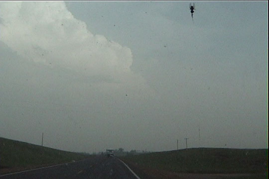
The storms soon developed to our south, and we moved south to target them. The first storm looked to be the healthiest of all of them on radar, and we made some attempt at deployment on it, but this never happened, as we zig-zagged around attempting to get in a good position. When we got back up to I-70, we had a 30-second view of the updraft base, which showed absolutely no signs of cloud-base rotation (even though there was rotation in the storm), and the next cell to the south was about to slam into ours. We drove east on I-70 in strong south cross winds and rain as this happened. From this point onward through the rest of the chase, I never saw another updraft base. We seemingly spent the rest of the day in between storms, being indecisive about what to target. Eventually, we settled on a storm coming through Osage County, KS that was producing a long-track tornado, given the reports I heard over NOAA. It took nearly an hour to get back south to it, and we came to a spot a couple miles north of Lawrence, KS as this storm was producing a tornado over the southwest portion of Lawrence. At this point, the storm underwent the most rapid death and disappearance I had ever seen. Our view of the storm updraft became obscured by some low scud cloudiness right as we moved into position on the north side of Lawrence. Spotters reported the tornado had lifted, but Josh still saw the weakening rotation and said the storm could still cycle. However, one of our navigators stepped outside, looked south, and said "There's no storm!". I looked up to see absolutely no trace of cloudiness from our storm, even though it was still raining lightly.
Towering cumulus immediately before initiation of convection.
Updraft on the first storm.
Base of the first storm.
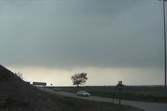
Tornadic storm to our south coming out of Osage County into Lawrence. This cell died extremely
quickly.
Storm to the north, which we had earlier abandoned, also produced a tornado, which we missed.