April 28, 2021 Supercell Storm
Del Rio to Sabinal, Texas
Our second day of targeting the Del Rio, Texas area certainly paid off! The convection-allowing models were a bit more definite in their development of storms, so we were a bit more confident in staying near the Mexican border. A stationary front was located in southern Texas, and southeasterly winds were blowing up the Rio Grande Valley. Dewpoints were near 70.
Of course, my day began with a Texas waffle.
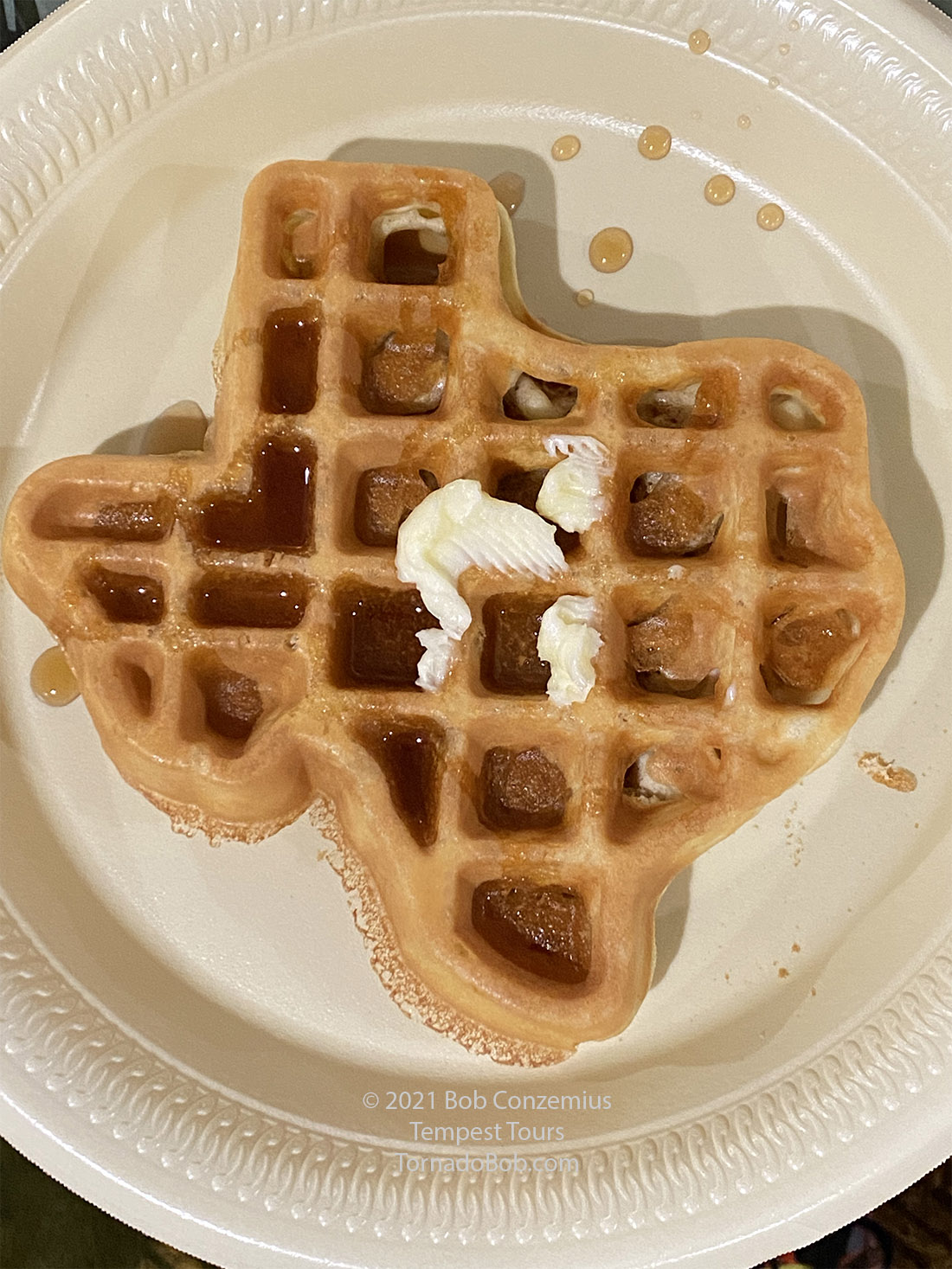 |
| My breakfast. |
After a casual breakfast, we drove around Del Rio trying to kill some time. We drove around a few neighborhoods, but there really wasn't a whole lot to see. We stopped for some lunch, and then drove over to the local cemetery, where there were some trees we could park under and get some shade while still looking at the western sky. A few towering cumuli were popping up, but storms seemed to take a long time to develop.
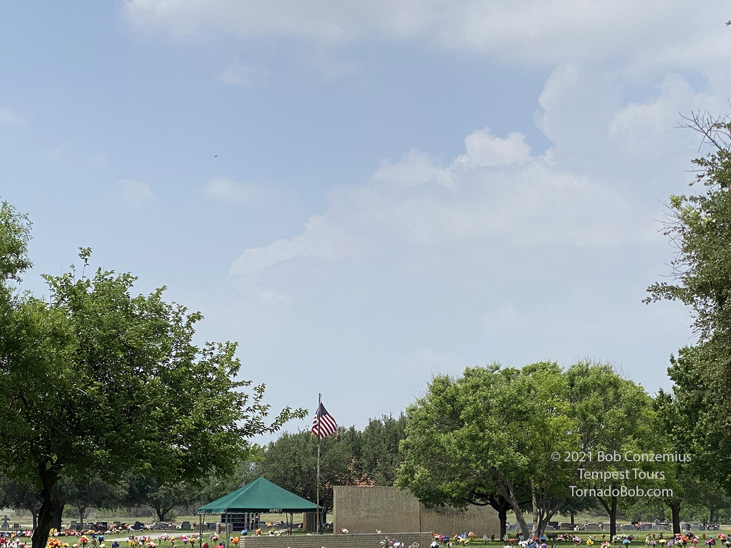 |
| Watching storms develop from Del Rio. |
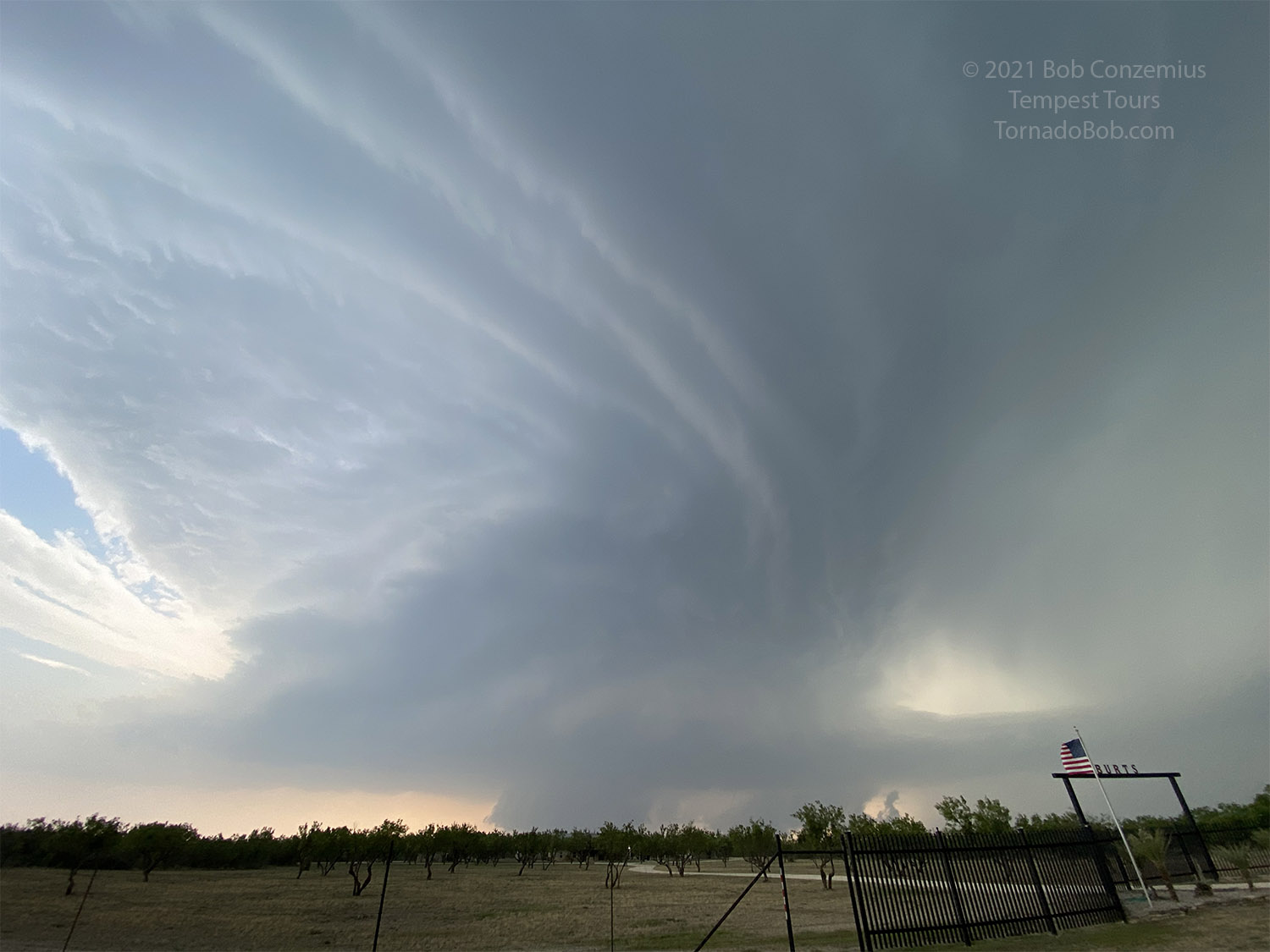
Once we had a definite storm on radar, we decided to move to a different location and let the thunderstorm anvil provided some shade. The storms were developing in Mexico, so there was little we could do but wait for them to strengthen and come to us. We drove to the recreation area and border crossing west of town and let them come at us from Mexico. We had waited in this same spot back in 2016. One relatively nice storm moved by to our northwest, but it wasn't all that great on radar. We were becoming more interested in a storm a little farther south in Mexico. We waited for it, and it strengthened into the strongest storm in the cluster.
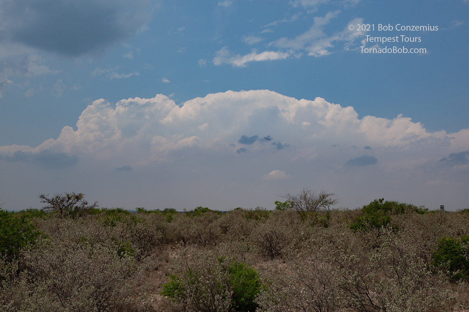 |
| Our first storm of the day. |
The radar presentation was decent, and it was developing supercellular characteristics. We had a target storm, but it was still in Mexico, and we could not see it that well from the U.S. side. The only thing we could do was wait for it to cross the border.
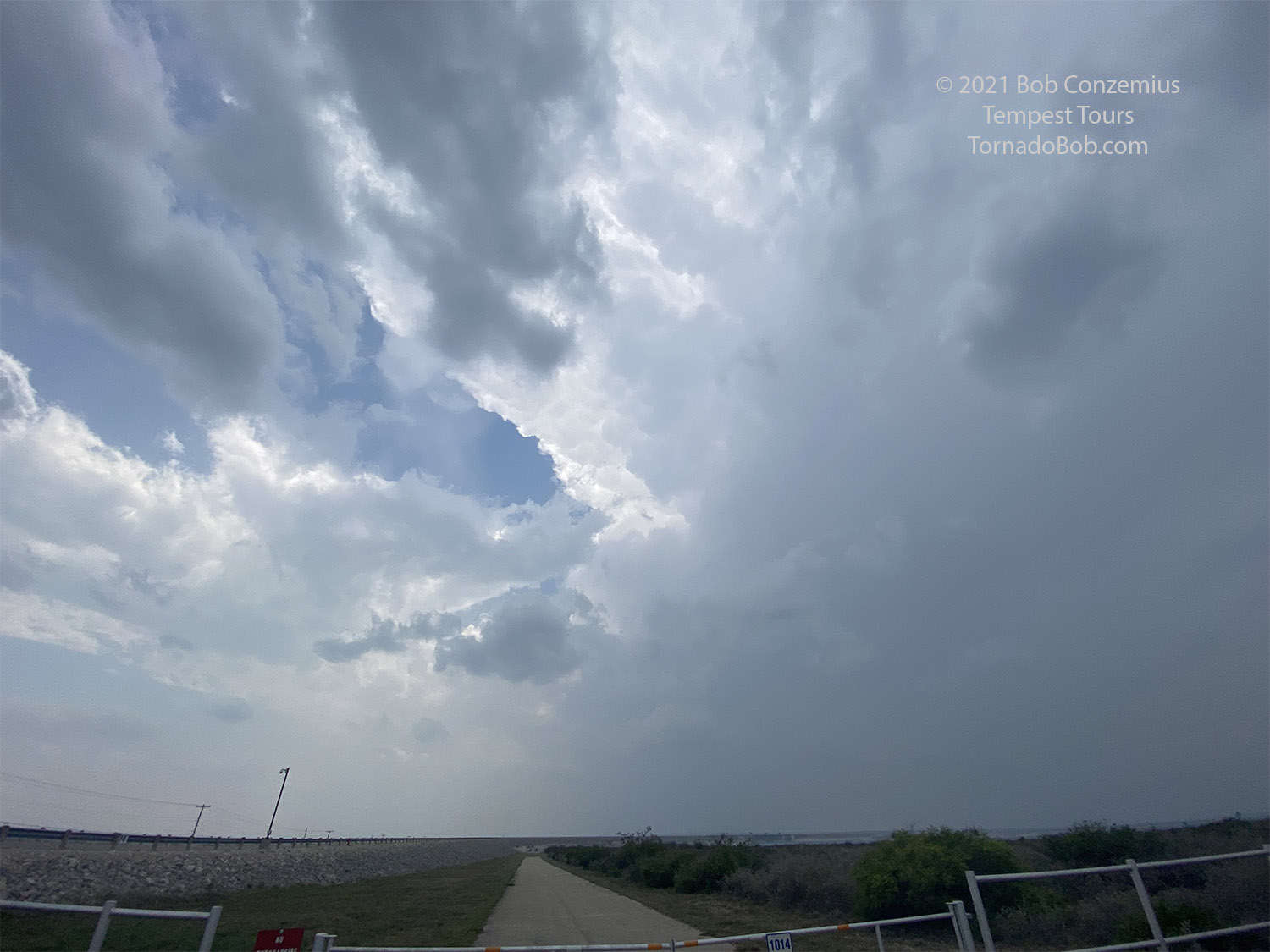 |
| Waiting on the loop around Del Rio for the storm to enter the U.S. |
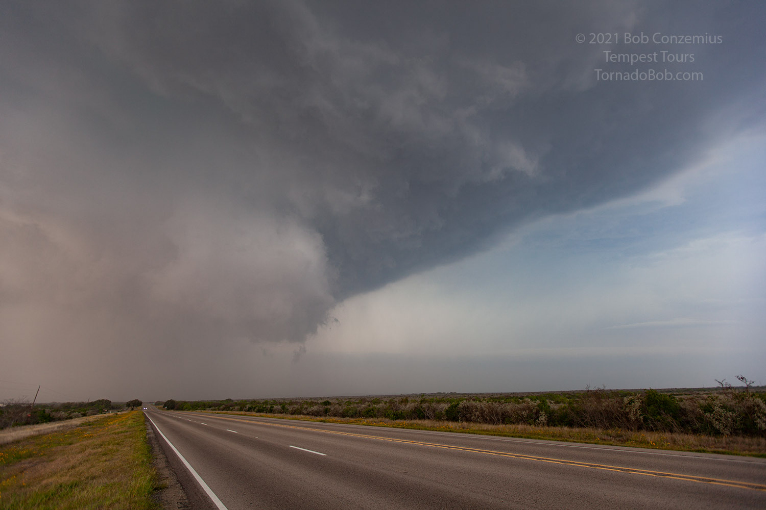
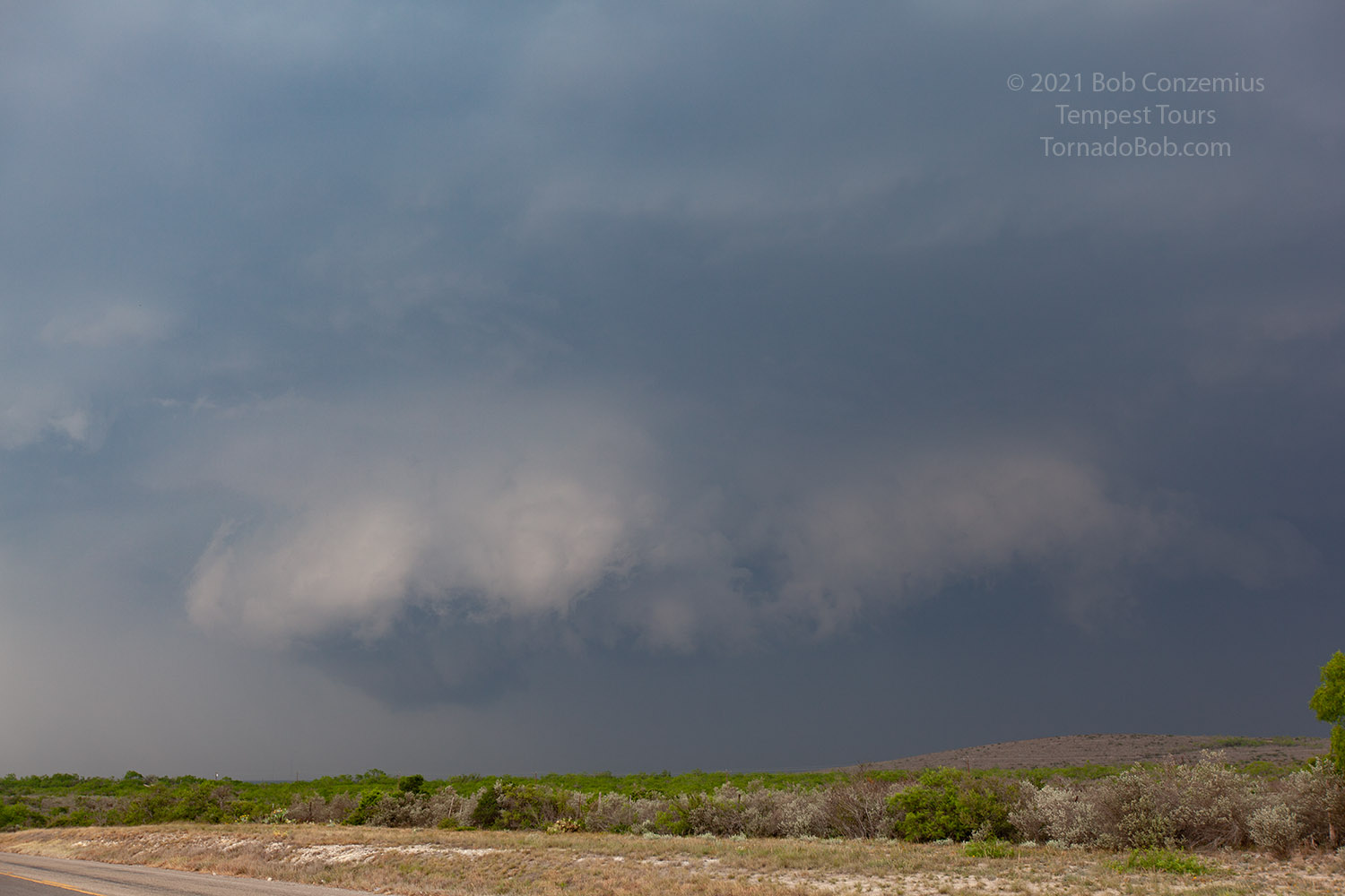
We had picked a spot where we had good visibility but also a couple road options we could take, depending on which way the storm ended up moving. If it had strongly deviant (more southeastward) motion, we would have to move south and take U.S. 277, and there weren't many roads we could take if it stayed between 90 and 277. Fortunately, it took a bit more of an eastern track, and we were able to take U.S. 90, which was oriented pretty closely with the storm motion vector. We got a bit more ahead of the storm because we had taken a bit of hail coming around Del Rio, and the storm was now entering the U.S., giving us a better view. The mid-levels of the storm looked great (although it was a bit on the hazy side), so it was good to be out ahead a bit. It was along this stretch where the storm structure looked its best. Maybe it was because we were a bit ahead. We stopped for photography a couple times during this phase.
 |
| Cell phone picutre of the storm. |
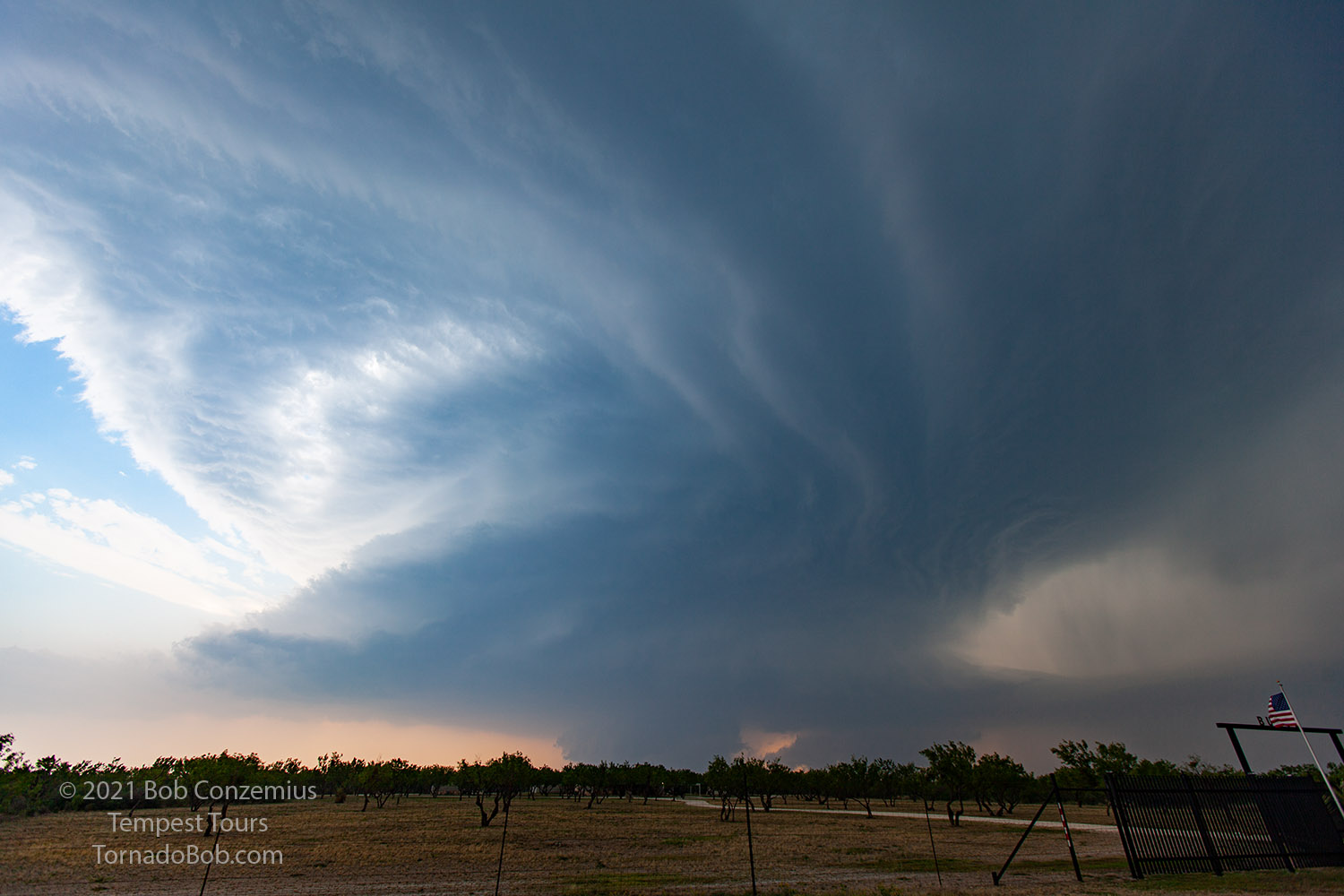 |
| Here's a picture from my DLSR. The storm was very sculpted! |
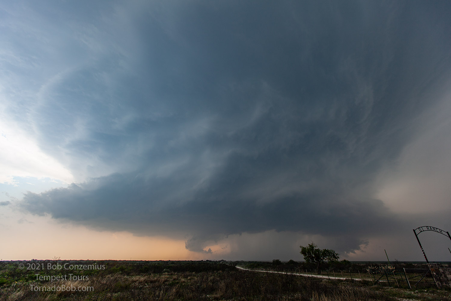 |
| Another few miles down the road at another ranch. |
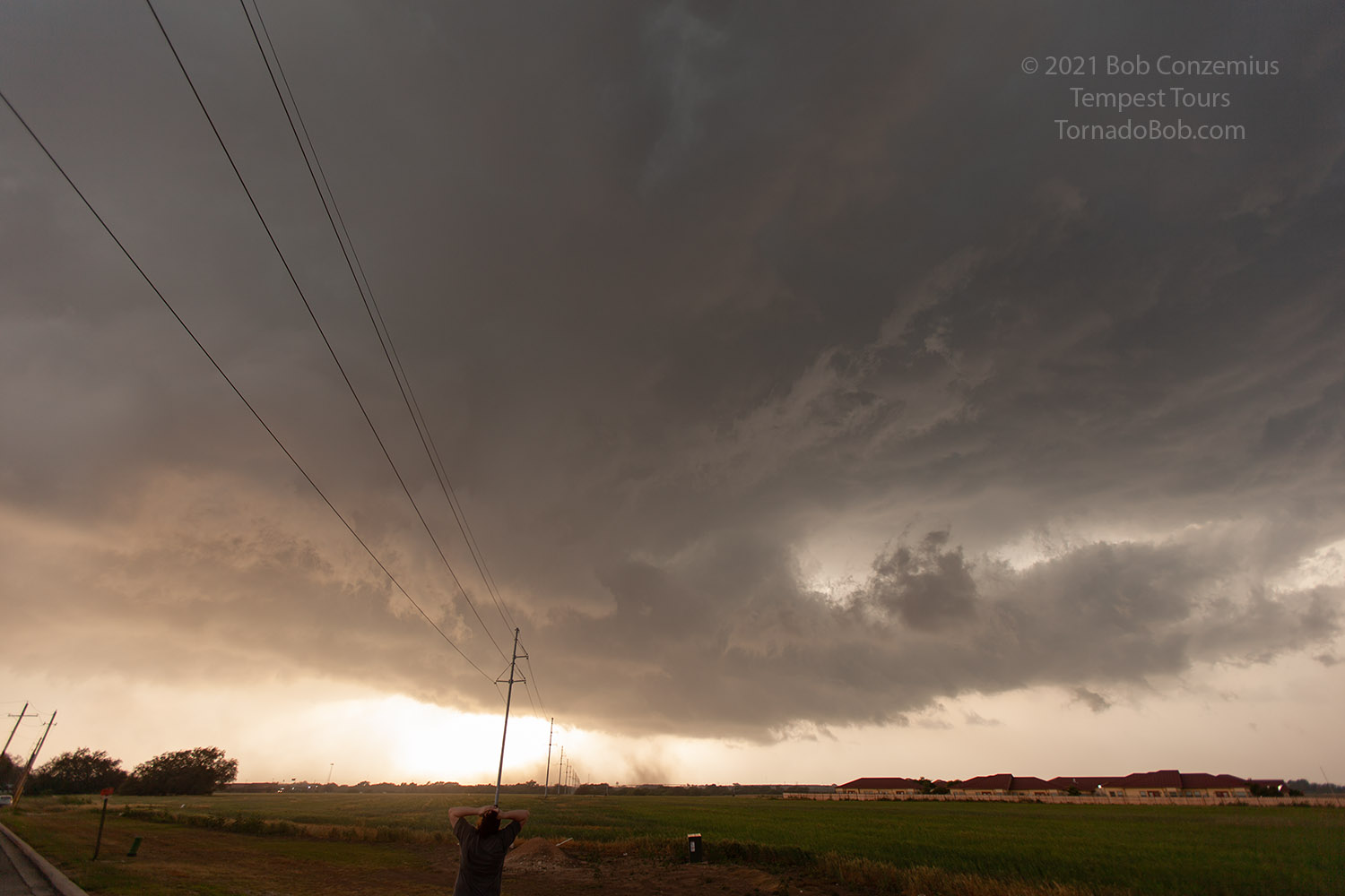
At this point, the storm came closely behind us, and we could see the low-level structure pretty well. There had been some decent wall clouds, and there was some slow rotation with a couple of them, which drew us in a bit closer. On radar, a second storm was catching up to ours, and ours was developing a bit of a complex structure with no focused action areas. For a few minutes, a lowering closer to the rear end of our storm piqued our interest while the greater updraft mass flux appeared to be getting a little east of us (but still somewhat due north).
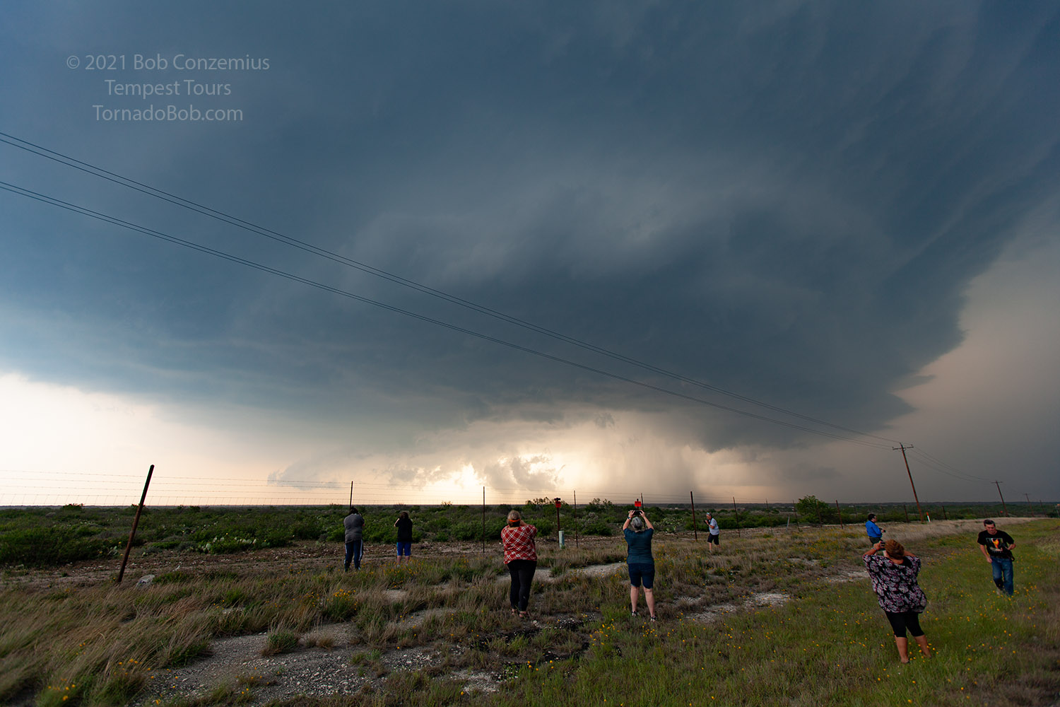 |
| The guests are sure enjoying the view! |
 |
| Now it is coming up right behind us, and the mid-level structure is no longer visible. |
 |
| Radar was showing a bit of a dual supercell structure. This seems fairly common. |
 |
| The lowering to the left (and behind) was tempting to watch, but my thoughts were to stay farther ahead of the storm. |
Our interest in the western lowering allowed the storm to get a little ahead of us, and now we had to play a bit of catch-up if the eastern area became more interesting. Our western wall cloud fell apart, and we got back on the road. We couldn't see much of the original storm, and another storm had caught up from the west. We drove through Uvalde and exited the east side of town to catch up to the eastern storm, but we decided to turn around to do a pit stop because there wasn't a big town for a while, and it had been a while since we had taken a break. This allowed the first storm to pass us and afforded us a good look at the second storm. I guess there was a tornado warning at this point. The wall cloud looked decent from behind the rain, but when we had a clearer view, it looked a little undercut. A tornado report came over ham radio, but all we saw was non-rotating dust.
 |
| A tornado was reported over ham radio here, but we saw only non-rotating dust. |
Our stop in Uvalde got us even farther behind. We started back east on 90 to catch back up, but the core of the storm was now over the road, and the rain was so heavy we could not gain ground. We passed through Knippa and then got into Sabinal. We were still in heavy rain, and there were some very large hail reports coming just a couple miles to our northwest. We decided to take shelter and wait it out. There would be no catching back up to the storm with heavy rain and very large hail on our route.
This storm ended up producing the Texas record hailstone in Hondo, a couple towns farther east on U.S. 90. It was probably a good thing we didn't continue. Instead, we saw additional storms to the west and decided to chase those. We had one that looked like it would move north of Uvalde, so we tried to get around the outskirts of town. The storm looked pretty promising at first, but as we got closer, it became less impressive. Other storms were now coming into the area but a little farther south. We drove southeast towards Batesville to get in front, but it was ahead of us a bit, and we got into heavy rain and some small hail. It was getting dark now.
We thought we had a chance of getting in front and seeing some interesting nighttime structure or maybe some dramatic lightning, but new cells kept popping up to our west, and they were giving us some hail up to golf ball size. We decided to wait things out and then head back to Uvalde for the night. I did not get any additional pictures.
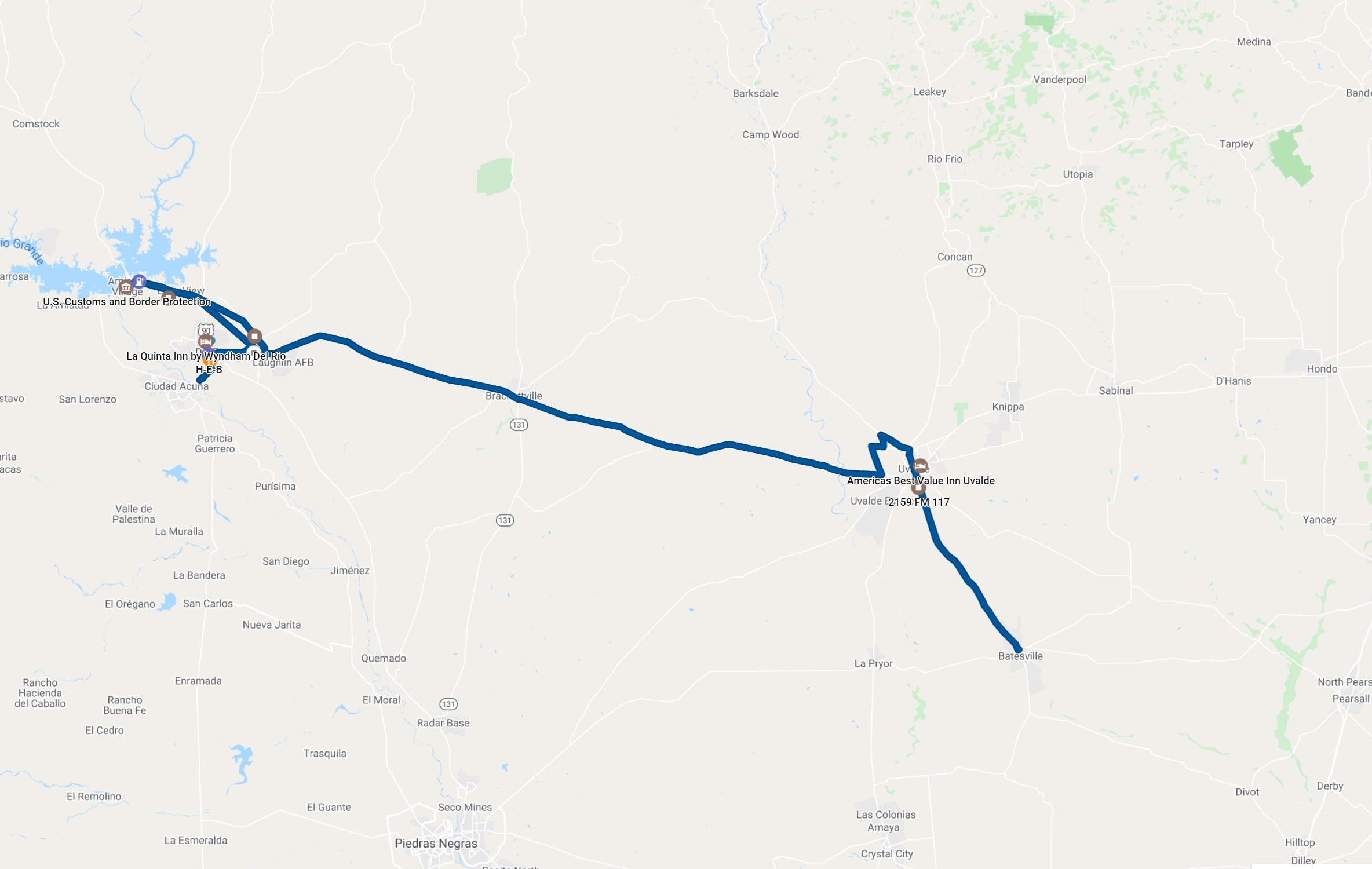 |
| Our route for the day. |
Back to Storm Chases | Home