July 11, 2019 Storms
Southern Manitoba, Canada
Forecast models showed storms developing along the U.S.-Canada border. These would most likely be supercells, and there was a small chance of tornadoes as well. I thought this could be an opportunity to see a photogenic tornado in the wide-open expanses of the Red River Valley near Hallock, Minnesota.
Well, that's not exactly what happened, but we did drive through Hallock. We ate lunch in Karlstad at a Swedish heritage center, proceeded through Hallock, and spent some time at Pembina, ND waiting for storms to develop. The I-29 rest area at Pembina has a nice observation tower that affords a view of the valley, which looks much more like a wide-open, flat plain. We then drove around to take some pictures of the beautiful canola fields.
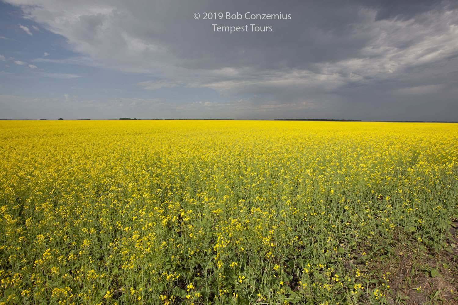 |
| Canola field west of Pembina, ND. |
The storms developed in Canada, forcing us to cross the border north of Walhalla to intercept them. We continued northwest through Winkler and caught up to them near Roseisle. Our first storm died, but another storm developed to the southwest and moved back toward Winkler. This was the storm of the day (well, of the evening-- daylight was running out, even at this northern location where it is light until about 10:00 PM).
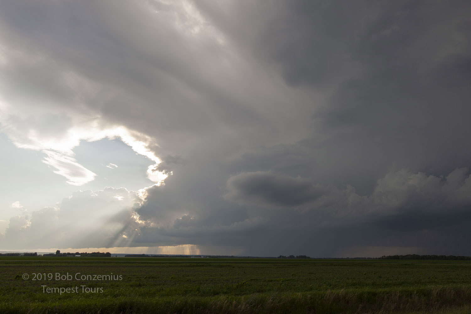 |
| Our first, struggling storm near Roseisle, MB. |
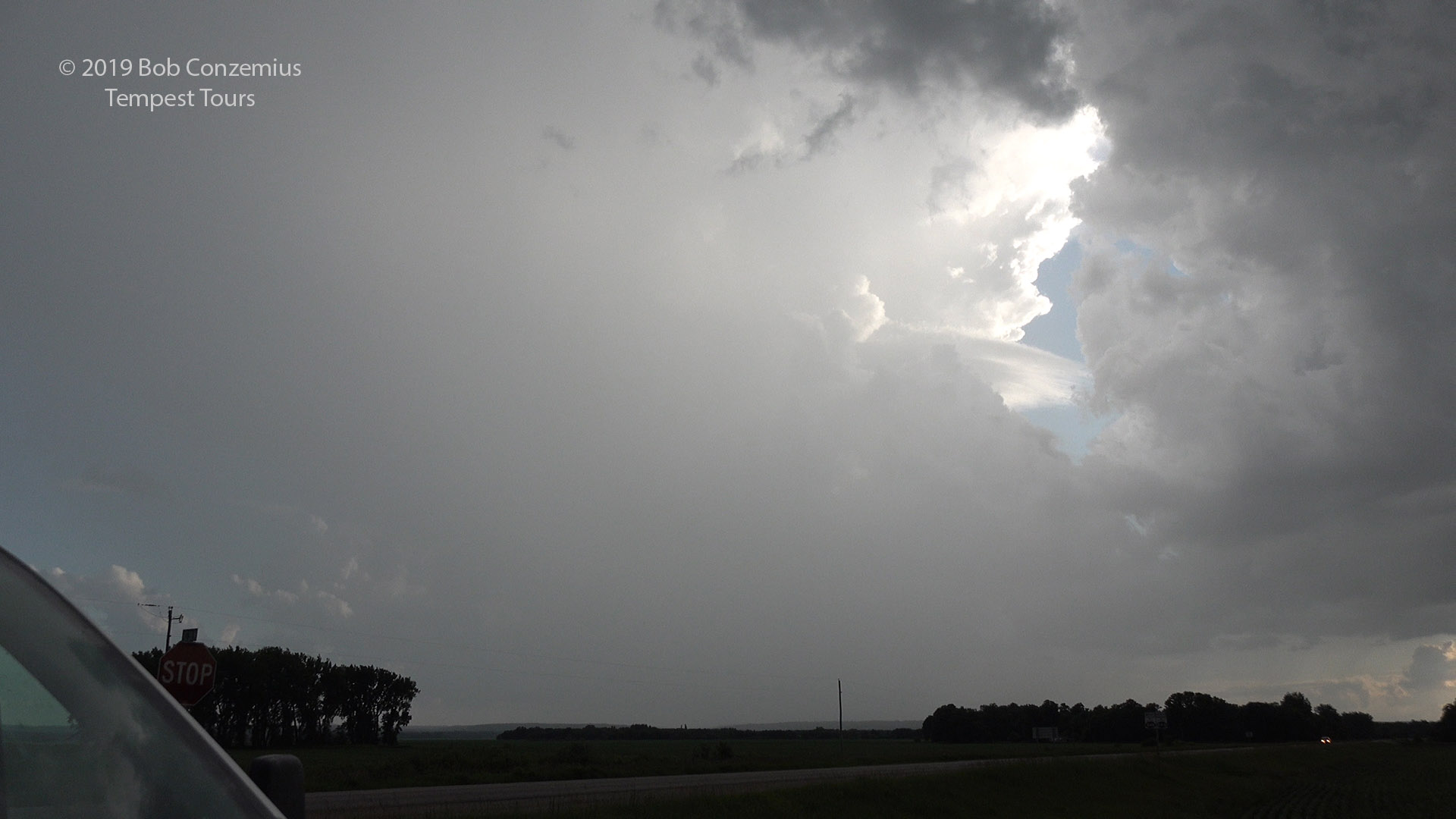 |
| A second storm develops to our southwest. |
 |
| A shelf cloud develops on our storm northwest of Winkler. |
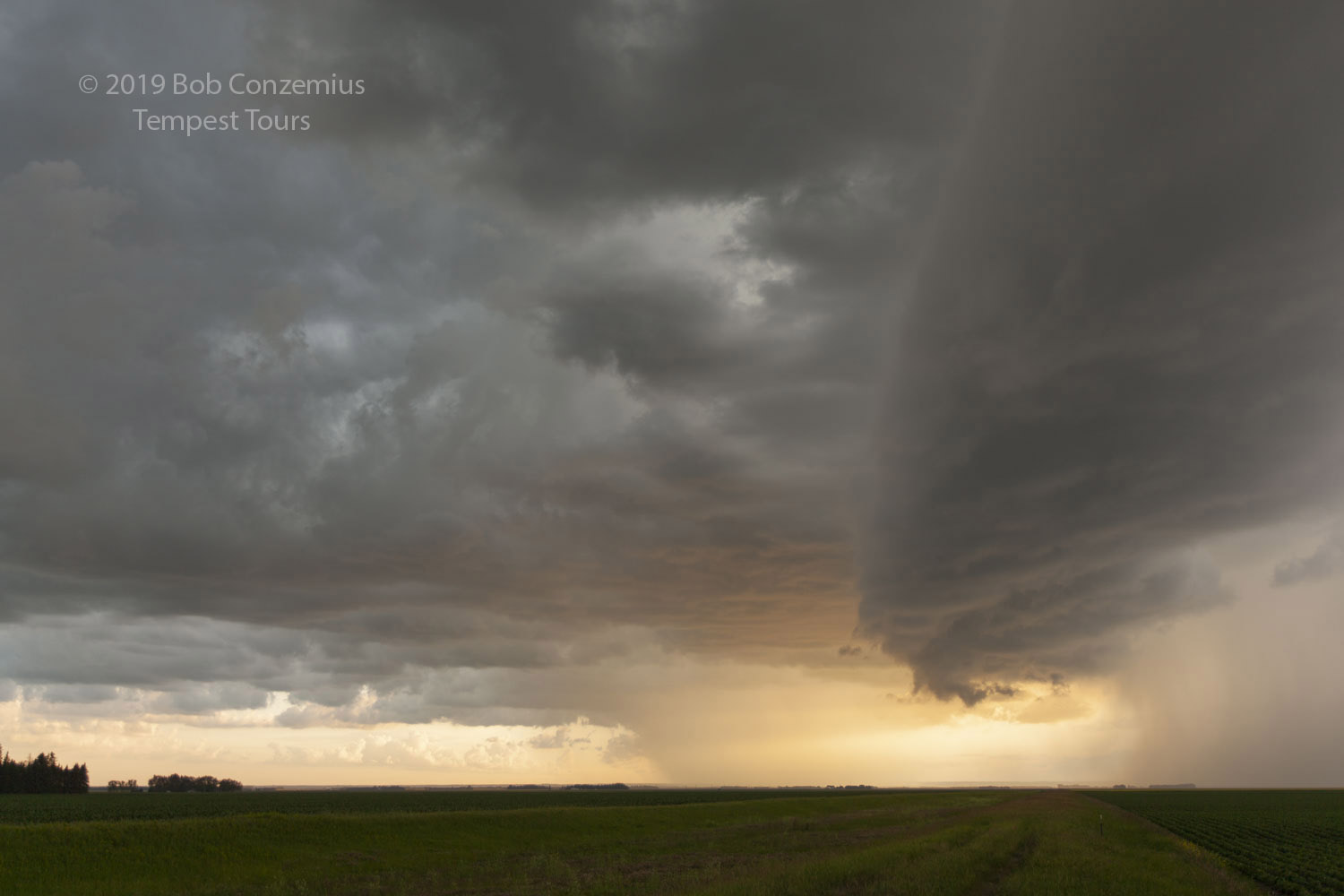 |
| A landscape picture of the same storm. |
 |
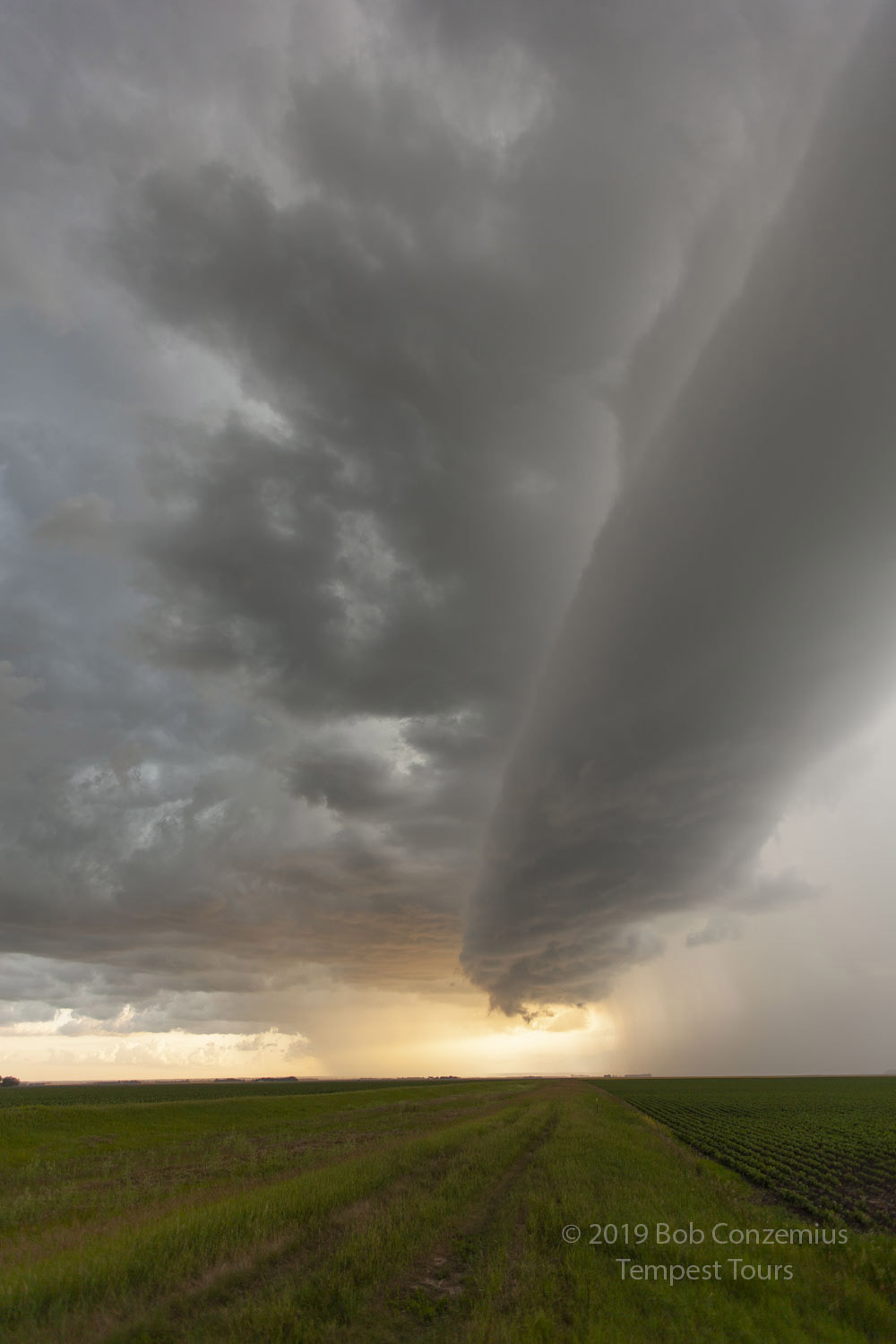
| East of Winkler, it starts to develop more of a supercellular shape. |
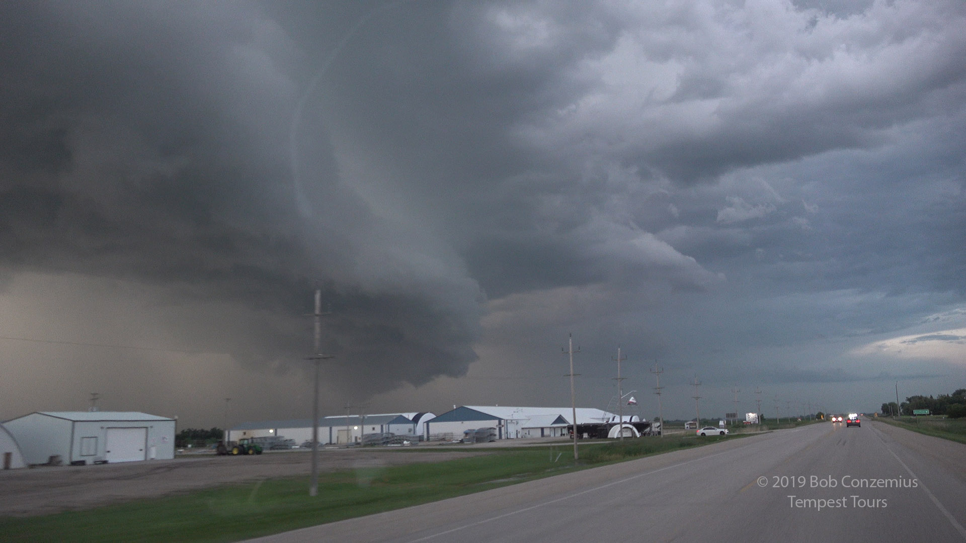
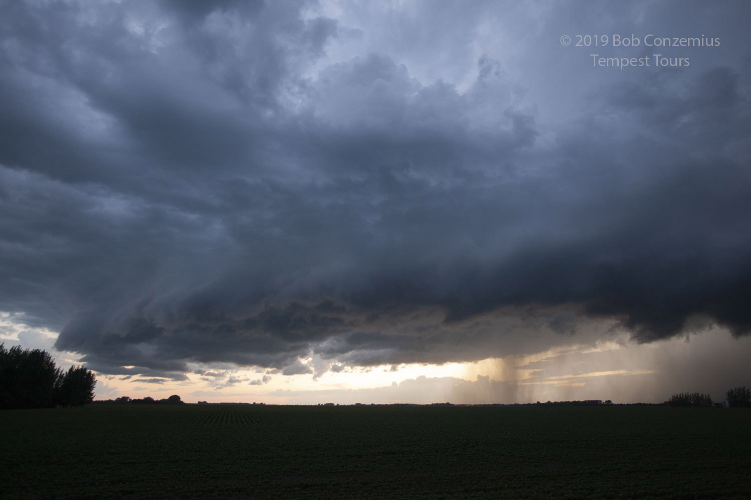
 |
| A wall cloud develops. |
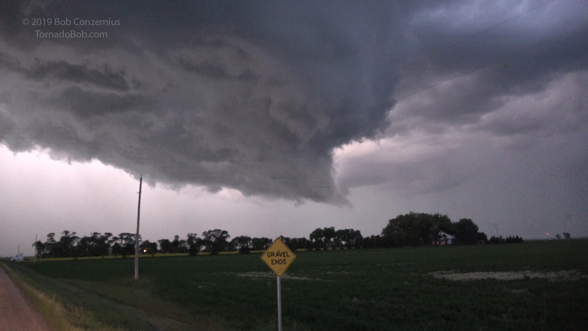
 |
| There is some weak rotation visible now. |
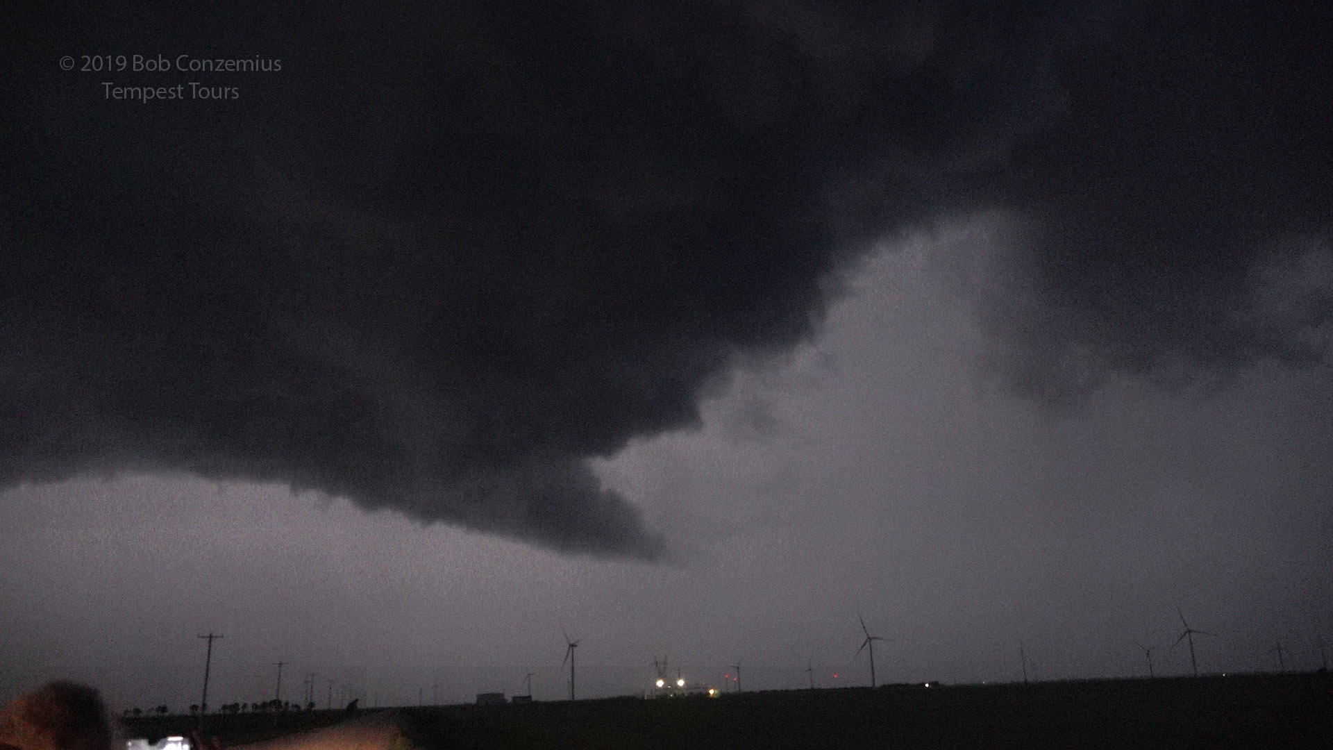 |
| There is some weak rotation visible now. |
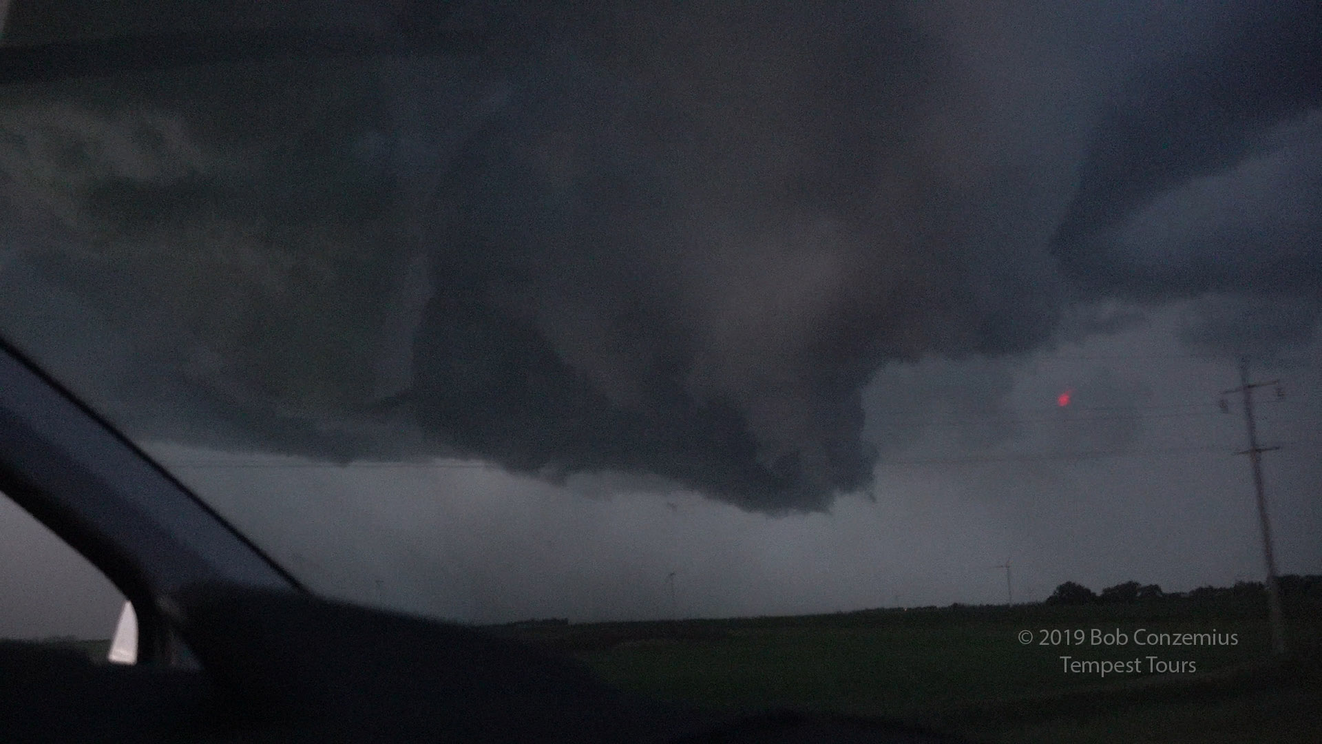
 |
| Last view before we crossed the border. |
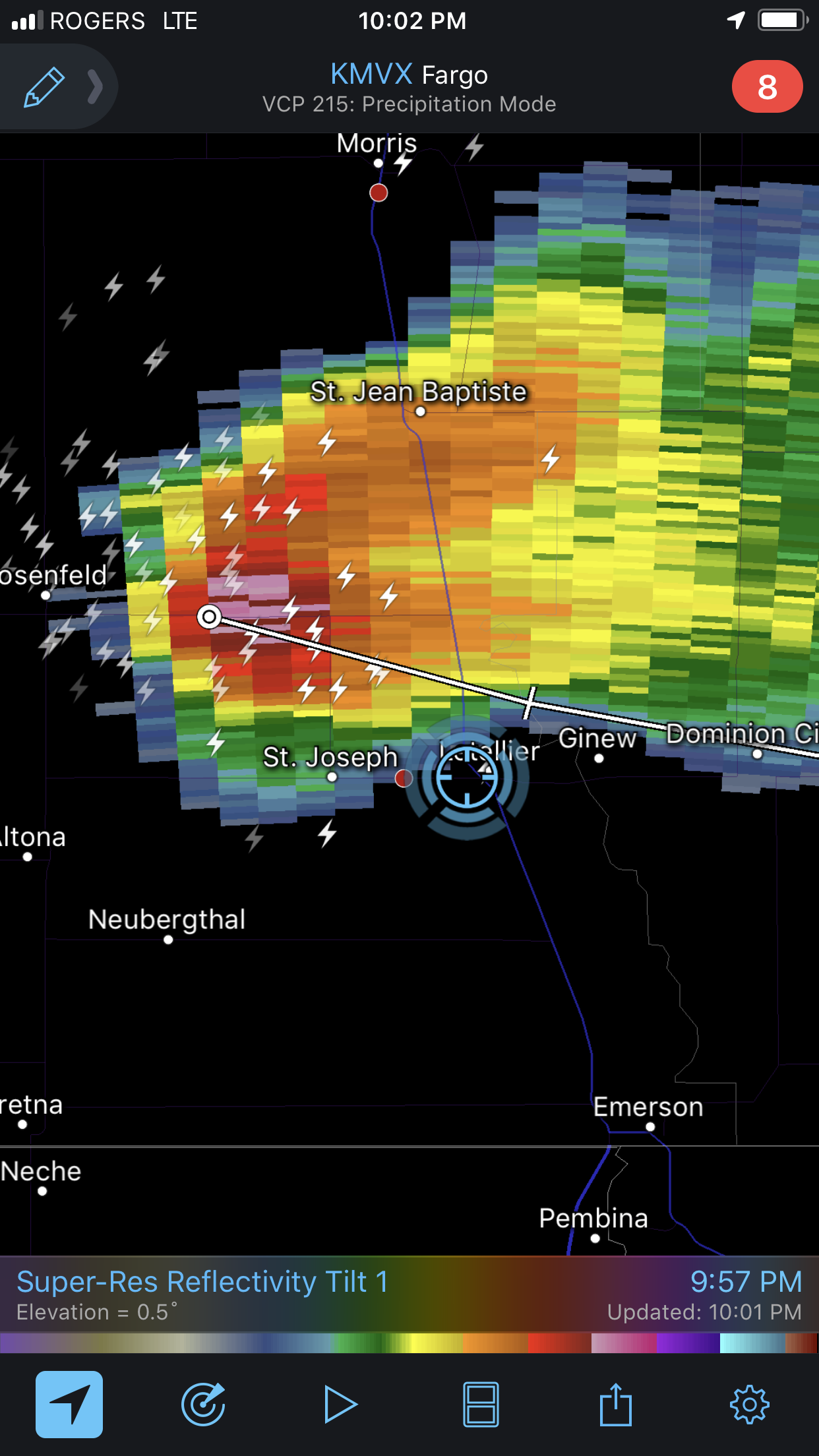 |
| The storm looked pretty nice on radar. |
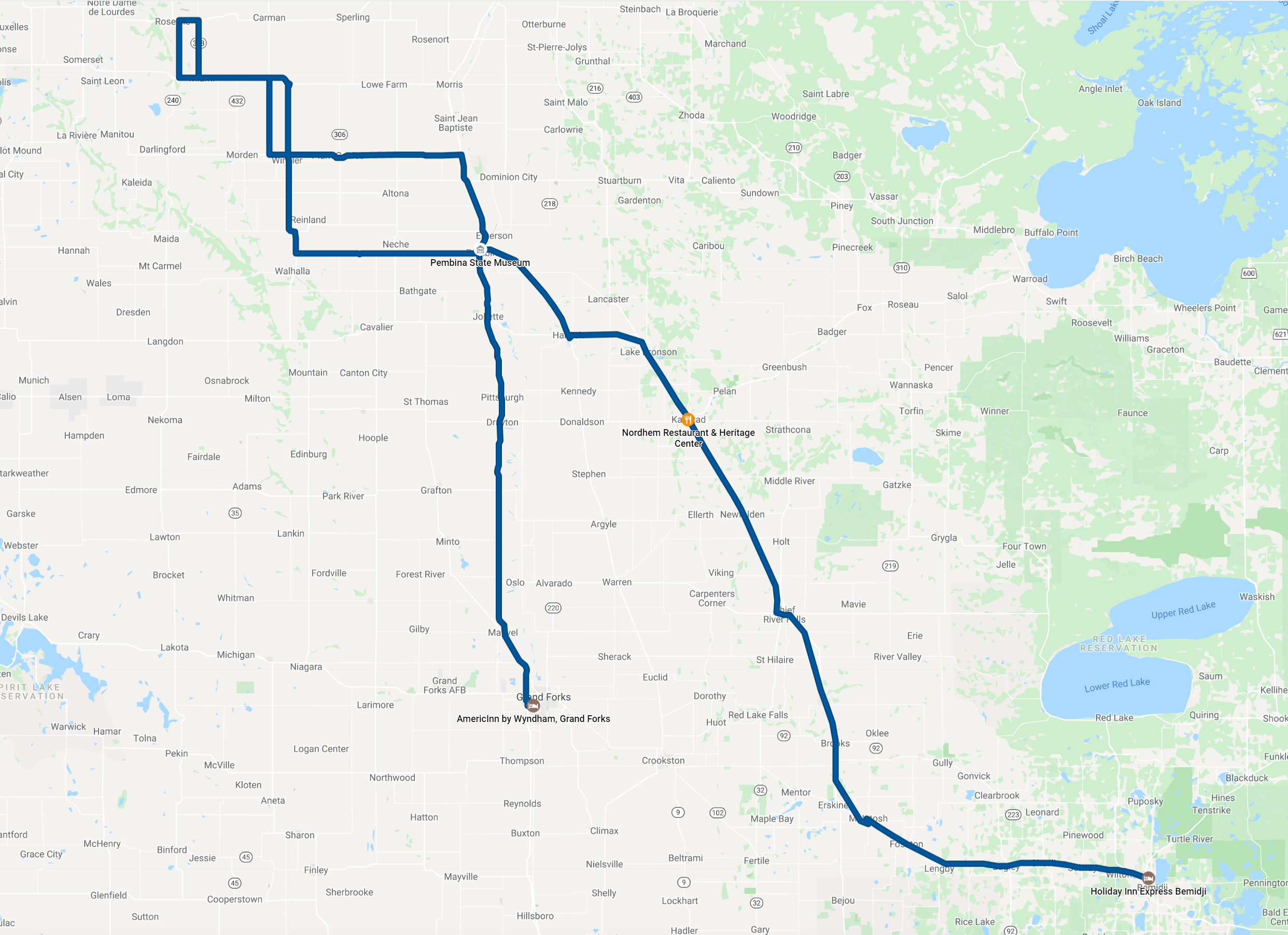 |
| Our route for the day. 433 miles (697 km). |
Back to Storm Chases | Home