July 4, 2022 Supercell Storms
Montana
After yesterday's frantic catch-up chase, we had a chance to intercept the storms from the east side. These storms would also be moving a bit more slowly, so we could spend more time with them. THe guests already had their heavy rain/hail/core experience, so it was a good time to do some more classic storm chasing. We could see the storms from in front.
The risk area was in much the same place as the day before because the weather pattern had really not changed. Easterly, upslope winds across Montana below some decent 30-40 knot westerly flow at 500 mb provided a nice environment for supercellular storms to develop. It looked like they would develop over the higher terrain in western and central Montana and drift east onto the Plains, where we could enjoy the chase.
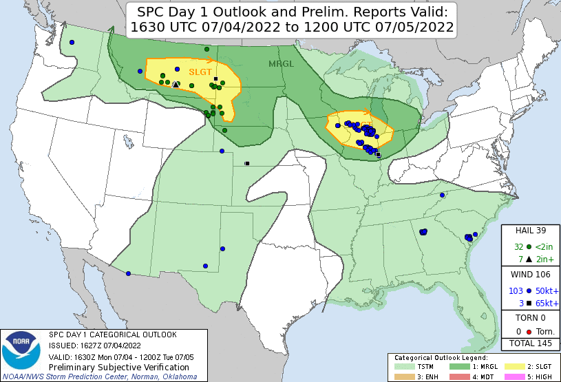 |
| Storm Prediction Center 1630 UTC Day 1 outlook. |
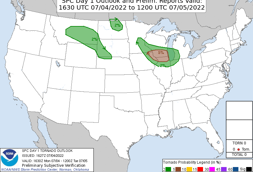 |
| The tornado risk for our chase. No tornadoes were reported. |
We drove west on I-94, exited at Forsyth, ate lunch, and drove to Roundup. From there, it looked like we needed to be a bit farther north, so we drove up to Grass Range. From there, we turned west toward Lewistown and had to choose among a cluster of storms that were developing over the mountains. We picked out one of these and stuck with it because it had a decent wall cloud.
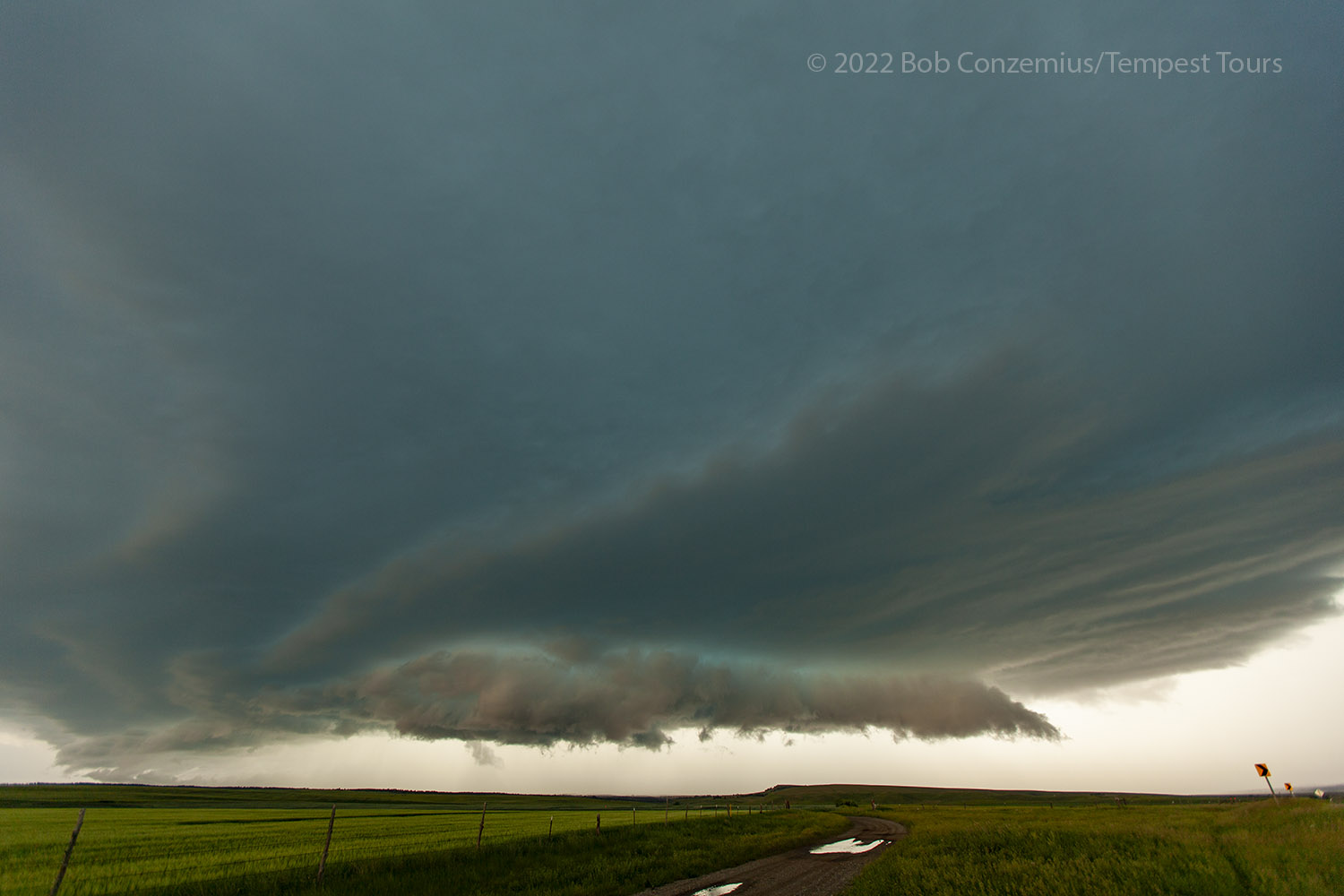
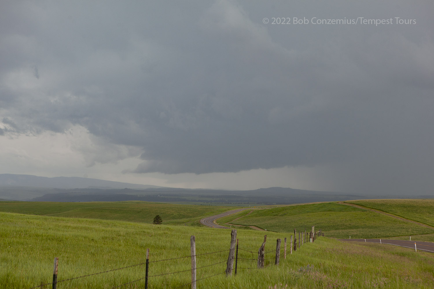 |
| Storm as we intercepted it just east of Lewistown, MT. |
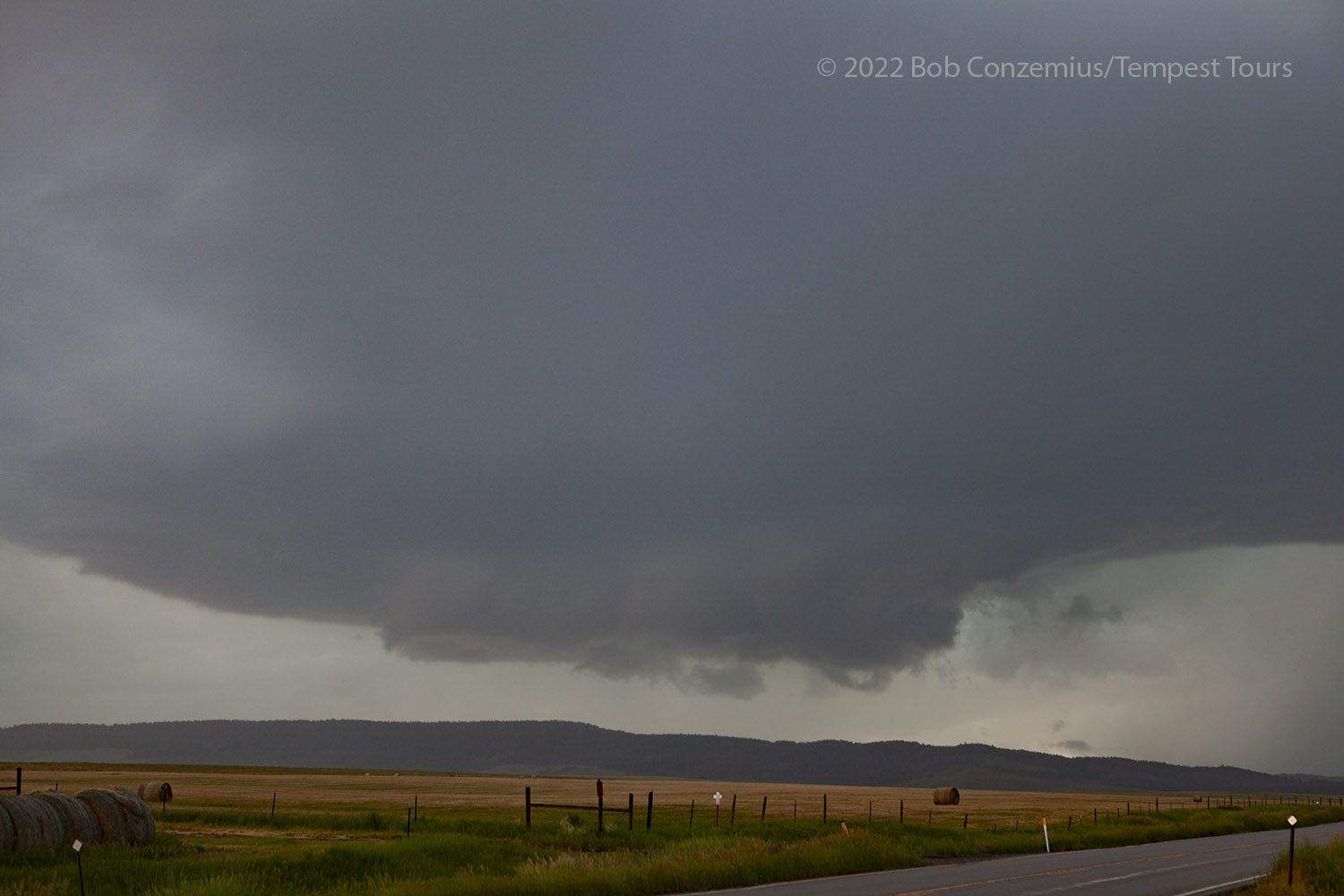
This storm started to move east and took us back on the same road we had driven from Grass Range. We stopped several times as the supercellular structure evolved. We had a nice, close CG at one point that chased us quickly back into the van. We arrived back at Grass range and had a decision to make-- whether to drive east or south.
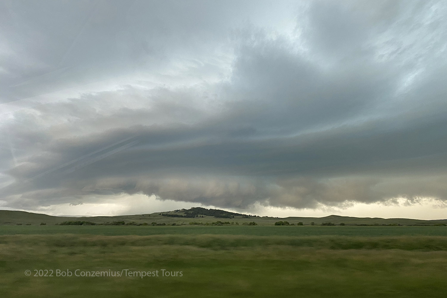
 |
| After we headed east toward Grass Range, the storm looked more supercellular. |
 |
| Just west of Grass Range, the storm now had pretty good contrast. |
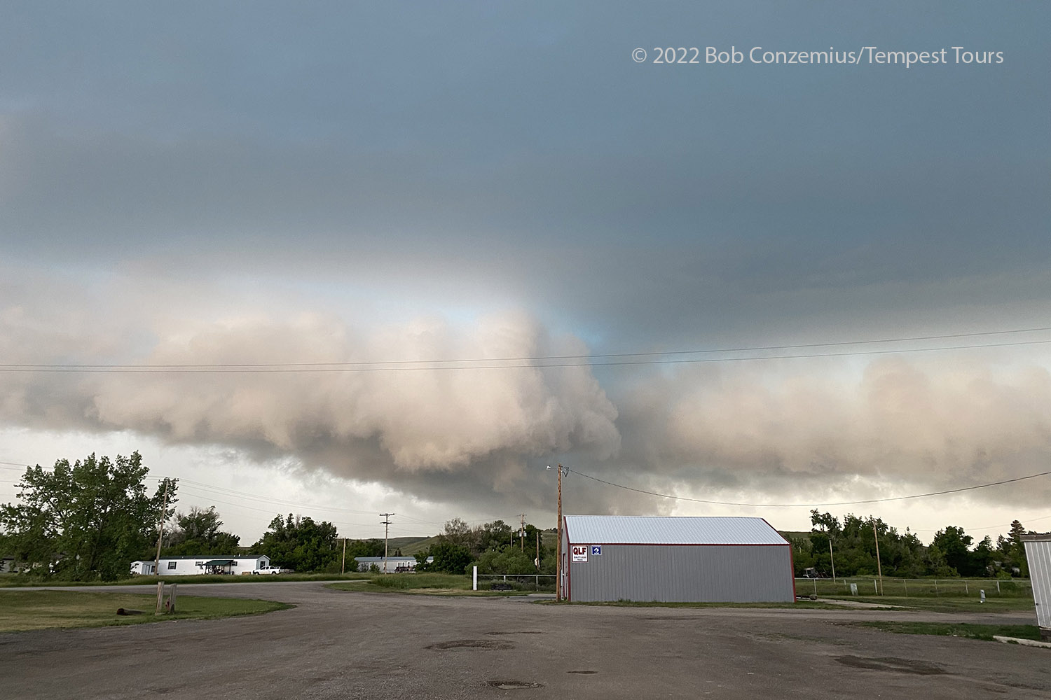 |
| While we did a pit stop at Grass Range, the storm began to rotate. |
As we took a pit stop at Grass Range, it became apparent that we should take the south option. Although the storm was starting to rotate with a bit of a lowered base, the core of the storm was moving over our east option, and we would not have much of a view of the action area. Also, there appeared to be other storms to target to our south. We stuck with our first storm as long as we could keep it in view. Once it got to our east, we drove toward the more southern storms. These did not become as strong as our first storm, but they had some nice structure that we were able to sit and observe for at least 30 minutes.
 |
| We turned south on the U.S. Highway to Grass Range. This is the second storm. |
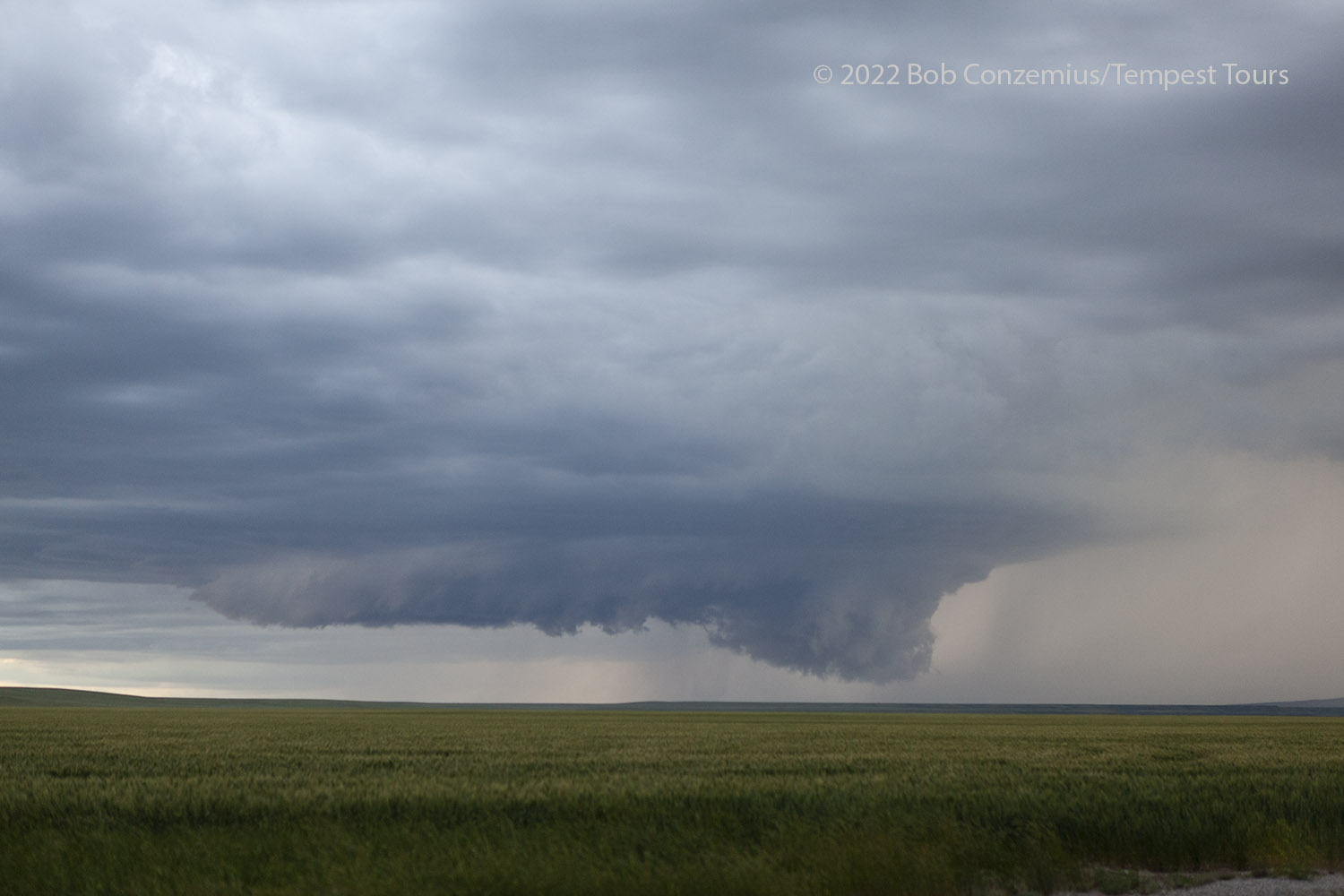 |
| The third storm had a bit more structure than the second storm. We watched this one for more than 30 minutes. |
When this third storm got close to our location, everything seemed to fall apart a bit, and we were left with little structure to see. We started back toward Roundup, where we saw some fireworks on our way through town. We tried to get rooms in Roundup because we knew we would be chasing again in this same area, but everything was full, so we booked rooms in Forsyth.
Our original storm was now turning southeast, and the route to our hotel took us pretty close to this storm, so we made an effort to catch it for some nighttime structure and lightning. This really didn't provide much in the way of photo opportunities because I don't have any pictures from this part of the chase. I do have some video, which showed a lot of low-hanging scud clouds that could fool you into thinking they were wall clouds or funnel clouds, but there did not appear to be any genuine tornado potential from this storm. After watching this storm for a bit, we continued to our hotel in Forsyth.
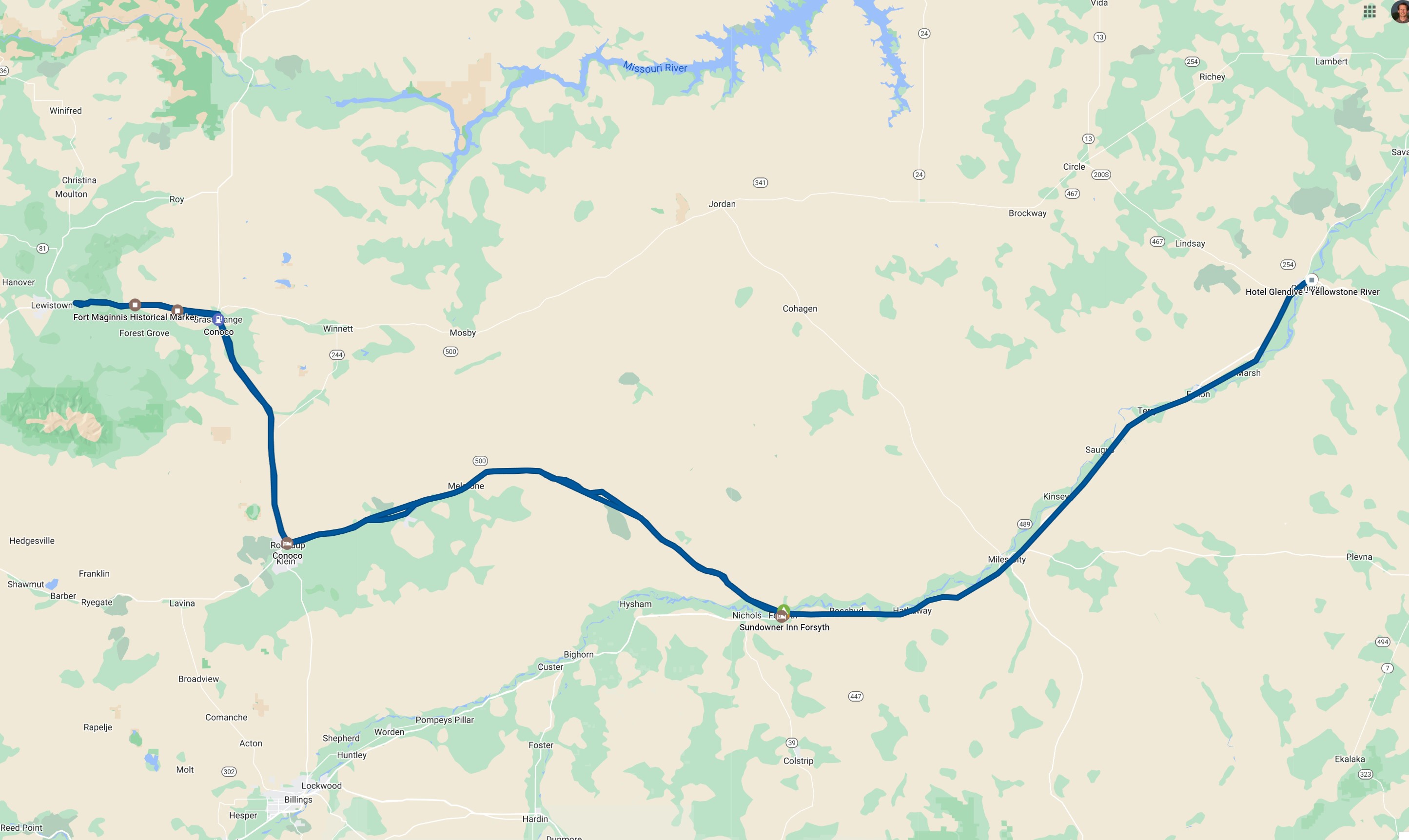 |
| Our "out and back" route. |
Back to Storm Chases | Home